WiserMap — Choose wisely. Connect locally.Choose wisely. Connect locally.Add your business

Bryce Canyon National Park

No reviews yetNational park Utah, United States
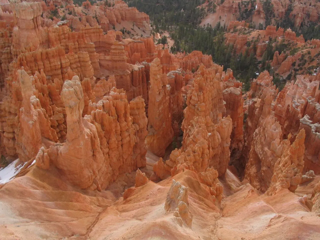
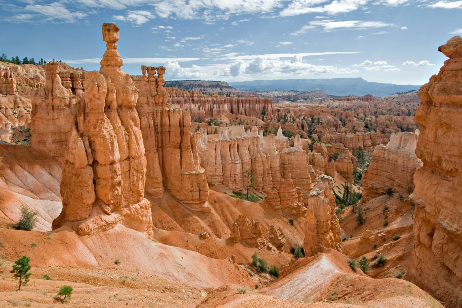
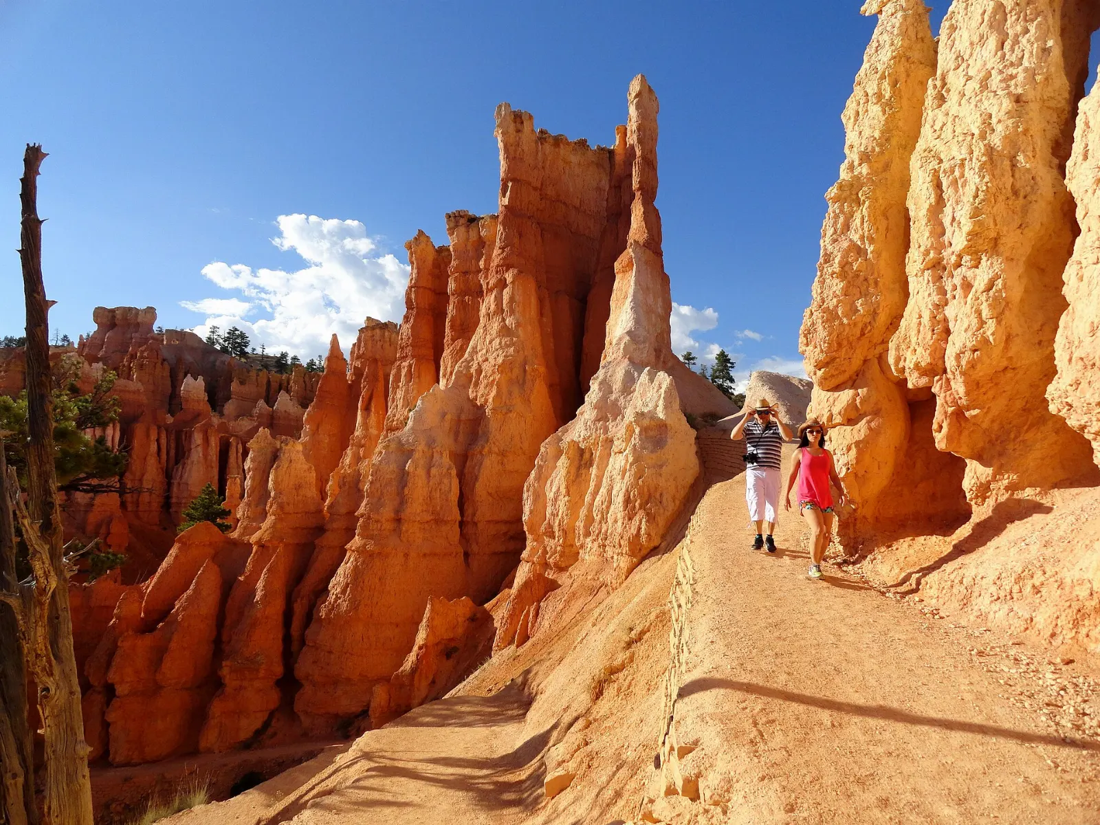
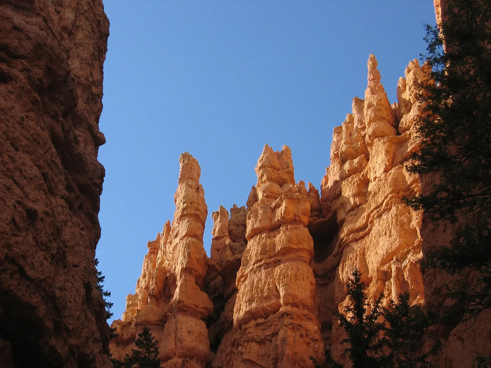
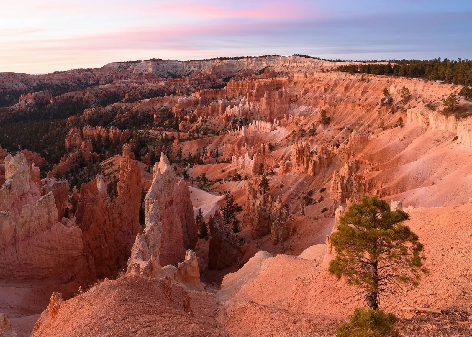
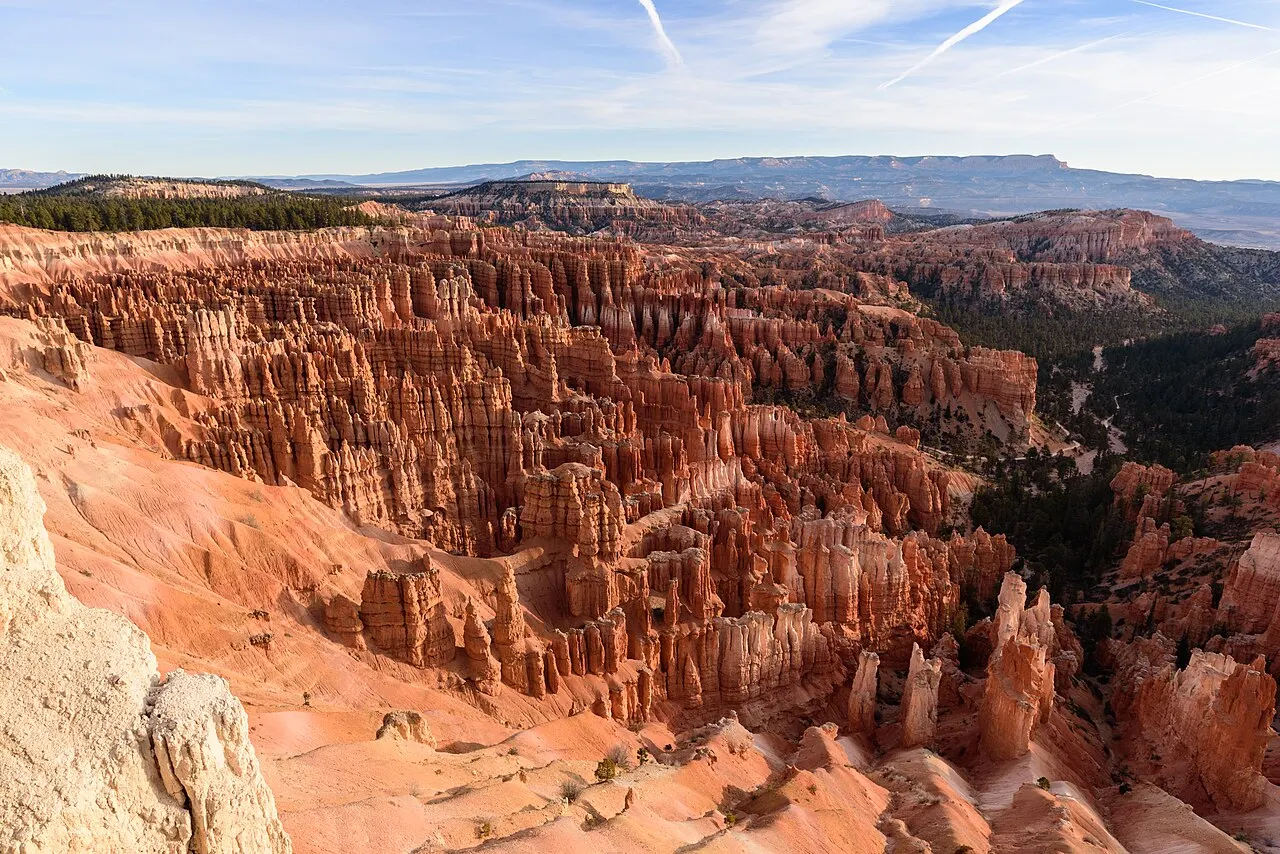
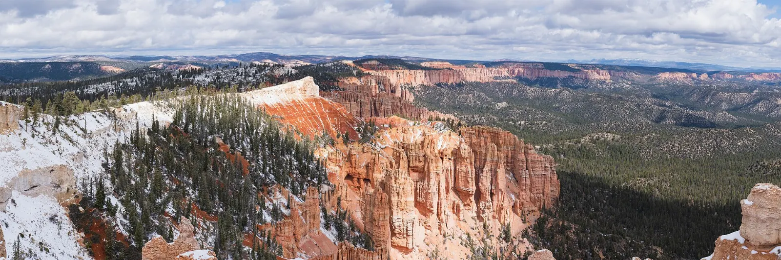
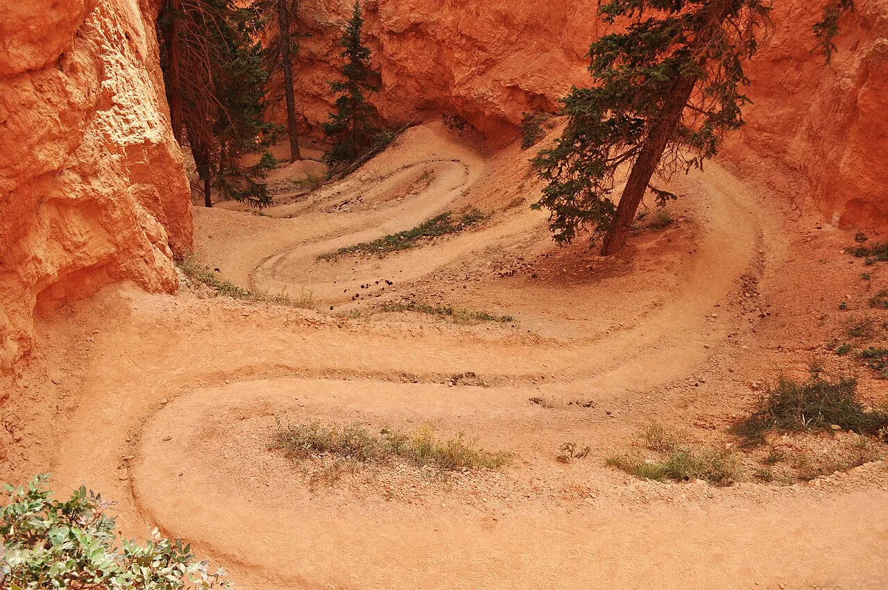
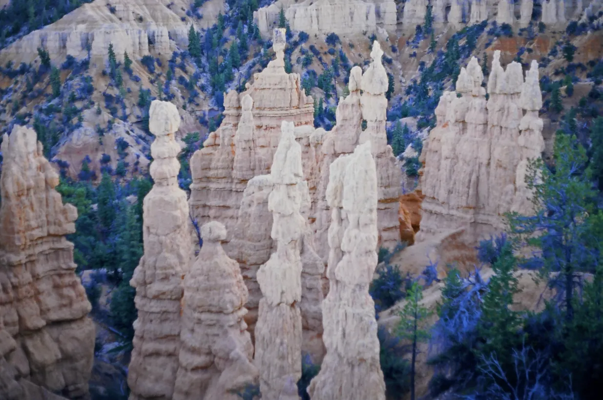
Bryce Canyon National Park, Utah, United StatesSunrise Point overlooks the northern end of the Bryce Amphitheater, Bryce Canyon National Park, UtahThor's Hammer is a well-known hoodoo visible from Sunset Point and the Navajo Loop, Bryce Canyon National Park, UtahThe Queens Garden Trail descends from Sunrise Point among cream and orange hoodoos, Bryce Canyon National Park, UtahBryce Point sits on a promontory at the southern end of the main amphitheater, Bryce Canyon National Park, Utah

About Bryce Canyon National Park

Bryce Canyon National Park, in southern Utah, is not really a single canyon but a series of natural amphitheaters carved into the edge of the Paunsaugunt Plateau. Frost and rain have sculpted the soft rock into thousands of hoodoos, slender spires banded in orange, pink and white. Sitting mostly above eight thousand feet, the park is cooler than nearby desert parks, and its dark skies are superb for stargazing.

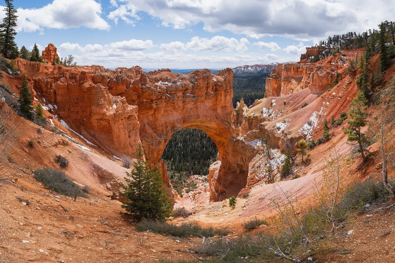
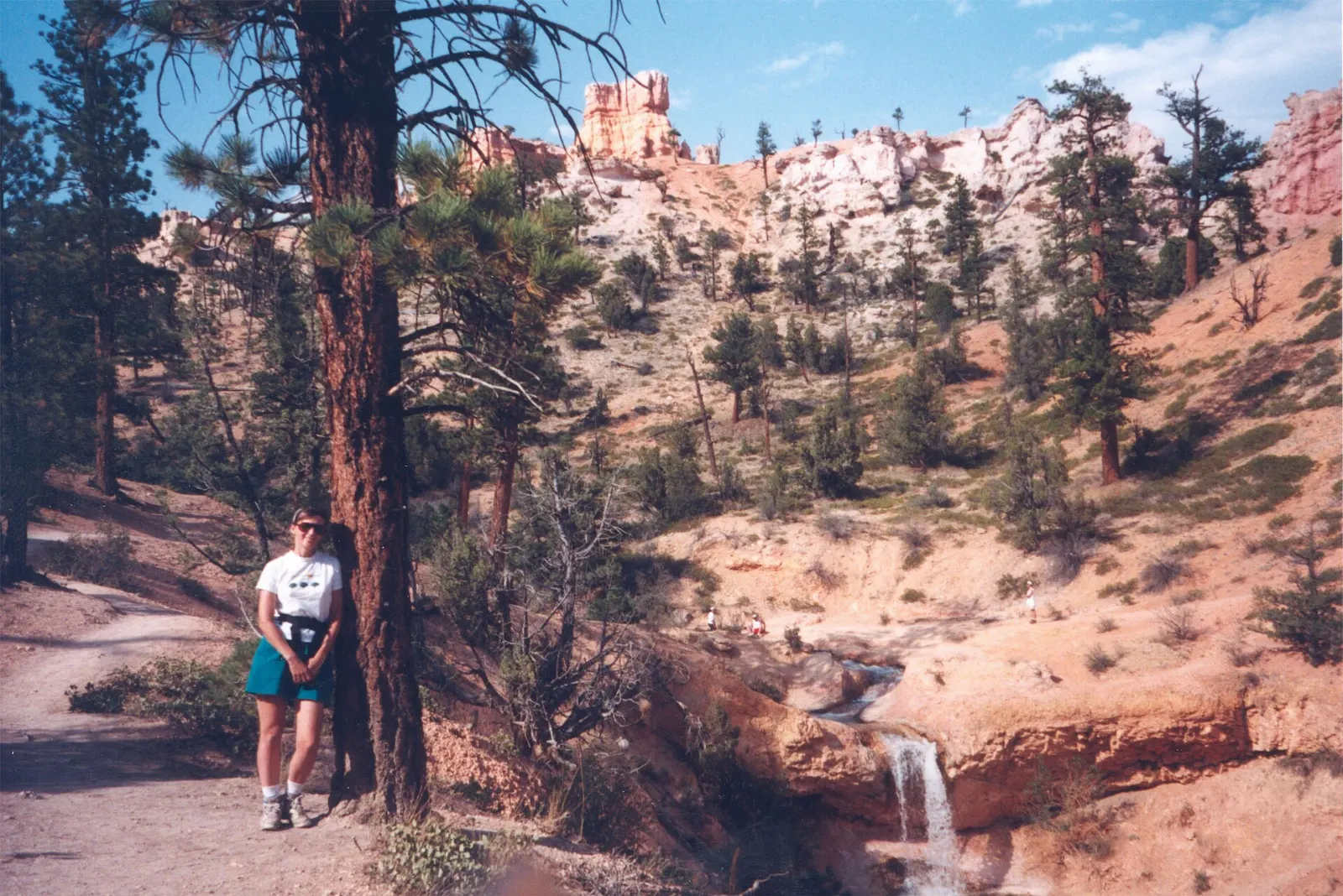
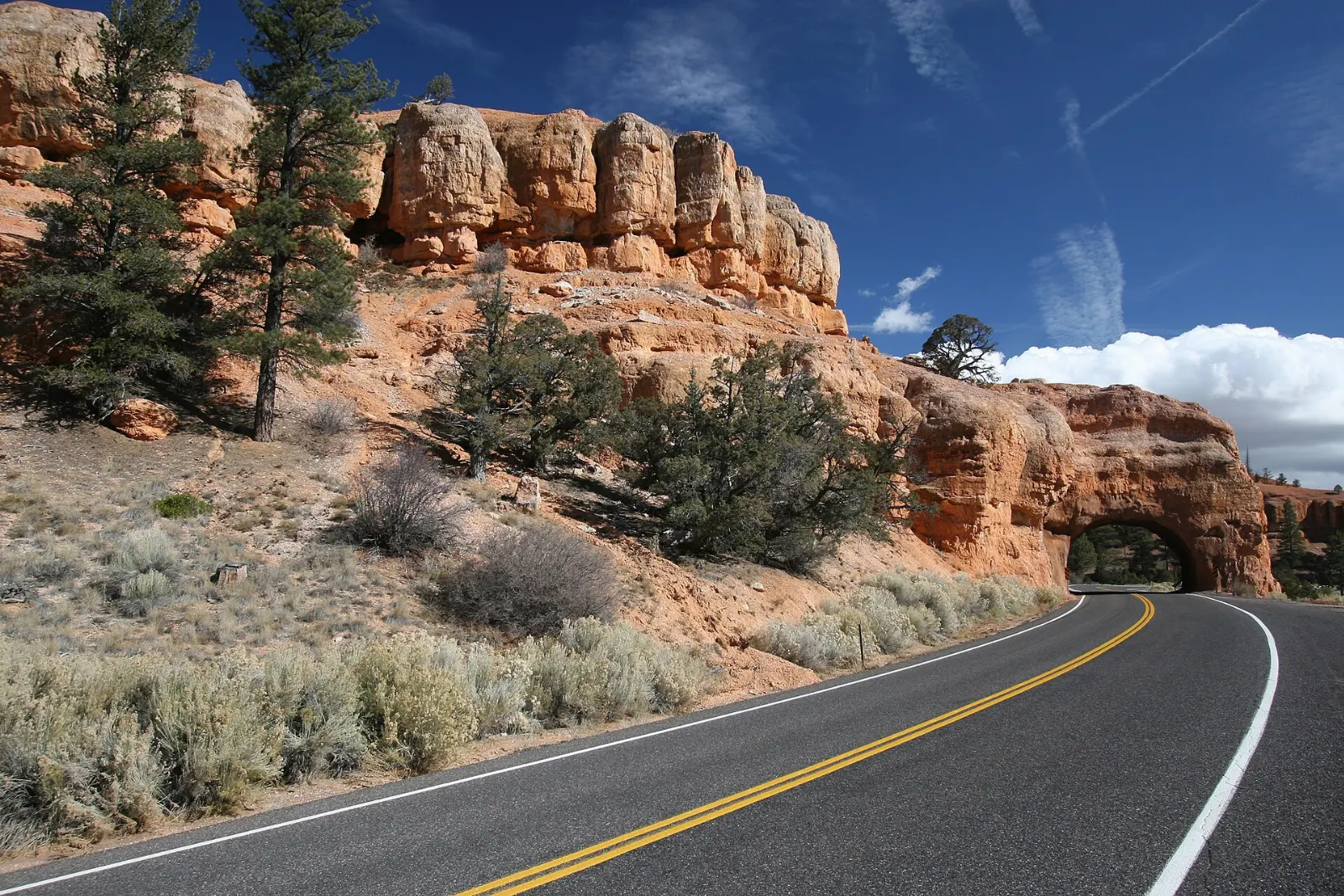
The Bryce Amphitheater holds the classic viewpoints. Sunrise Point and Sunset Point frame the densest cluster of hoodoos, and from Sunset Point the Navajo Loop drops between towering walls; many hikers combine it with the Queens Garden Trail. Inspiration Point offers a sweeping view over the amphitheater, and Bryce Point is a favorite for early light. To the north, Fairyland Point starts a longer, quieter loop. The scenic drive continues south past Natural Bridge, an arch cut into red rock, to Rainbow Point and Yovimpa Point at the plateau's highest edge. In a separate northern section, the short Mossy Cave Trail leads to a small waterfall, and Red Canyon, just west of the park in national forest land, has paved bike paths among vivid red formations.

Bryce suits hikers, photographers and families. Summer brings afternoon thunderstorms, and winter snow on the red spires is striking. The park pairs naturally with Zion and Capitol Reef on a road trip.

Best seasonMay through October for hiking, while winter brings snow-dusted hoodoos and quiet trails.
Ideal stayOne to two days covers the viewpoints, a rim-to-floor hike and a night of stargazing.
ArrivingMost visitors drive from Las Vegas or Salt Lake City, often combining Bryce with Zion.
Bryce Canyon National Park Utah Hoodoos and Navajo LoopWiserMap travel guideBryce Canyon National Park Utah Hoodoos and Navajo LoopExplore Bryce Canyon's best viewpoints and hoodoo trails, from Sunrise Point and Navajo Loop to Rainbow Point and Mossy Cave, with shuttle and season tips.Read the guide

Bryce Canyon National Park Has So Much to Discover: 12 Highlights

Viewpoints 4

Sunrise Point at Bryce Canyon, Bryce Canyon National Park, Utah, United States

Sunrise Point at Bryce Canyon

An overlook on the north end of the Bryce Amphitheater, a short walk from the general store and Lodge area. As the name suggests,...
Inspiration Point at Bryce Canyon, Bryce Canyon National Park, Utah, United States

Inspiration Point at Bryce Canyon

A set of three viewpoints at different heights along the rim, with one of the widest views over the densest field of hoodoos in th...
Bryce Point, Bryce Canyon National Park, Utah, United States

Bryce Point

A high overlook at the southern tip of the Bryce Amphitheater with sweeping views over the full bowl of hoodoos. It is a top sunri...
Rainbow Point and Yovimpa Point, Bryce Canyon National Park, Utah, United States

Rainbow Point and Yovimpa Point

At the end of the 18 mile scenic drive, at over 9,000 feet, these neighboring overlooks look south across the Grand Staircase towa...

Hikes 4

Sunset Point and the Navajo Loop, Bryce Canyon National Park, Utah, United States

Sunset Point and the Navajo Loop

Sunset Point overlooks Thor's Hammer, one of Bryce's most famous hoodoos. The Navajo Loop drops from here into the canyon through...
Queens Garden Trail, Bryce Canyon National Park, Utah, United States

Queens Garden Trail

The easiest trail into the amphitheater, descending from Sunrise Point among hoodoos to a formation said to resemble Queen Victori...
Peekaboo Loop Trail, Bryce Canyon National Park, Utah, United States

Peekaboo Loop Trail

A strenuous loop of about 5.5 miles from Bryce Point that winds through the heart of the amphitheater past the Wall of Windows and...
Fairyland Point and Fairyland Loop, Bryce Canyon National Park, Utah, United States

Fairyland Point and Fairyland Loop

Fairyland Point sits just inside the park north of the visitor center and is quieter than the main overlooks. The Fairyland Loop i...

Nature 3

Natural Bridge at Bryce Canyon, Bryce Canyon National Park, Utah, United States

Natural Bridge at Bryce Canyon

A large red rock arch spanning a gully, visible from a roadside overlook on the scenic drive. Despite its name, it was formed by w...
Mossy Cave Trail, Bryce Canyon National Park, Utah, United States

Mossy Cave Trail

An easy trail of under a mile off Highway 12, outside the main park area, following a historic irrigation ditch to a small waterfa...
Red Canyon, Bryce Canyon National Park, Utah, United States

Red Canyon

A canyon of bright red hoodoos in Dixie National Forest along Highway 12, about 15 minutes west of the park. The road passes throu...

History 1

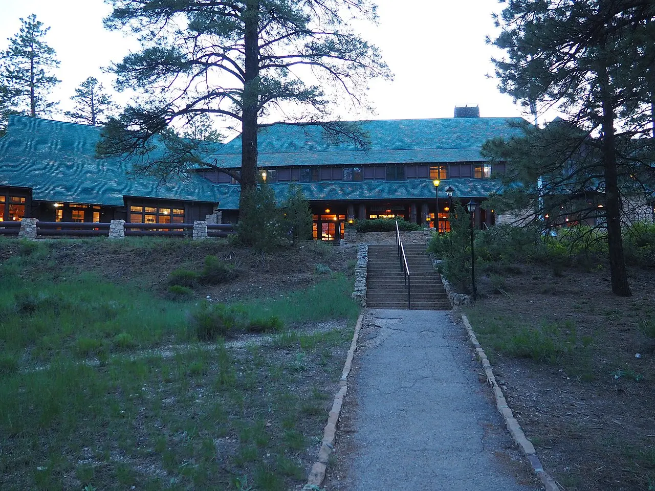
Bryce Canyon Lodge, Bryce Canyon National Park, Utah, United States

Bryce Canyon Lodge

A rustic lodge built in 1925 by the Union Pacific Railroad and designed by Gilbert Stanley Underwood, set a short walk from the ri...

Reviews

No reviews yet. Been to Bryce Canyon National Park? Be the first to share your experience.

Write a review

Share what you loved, what to skip and tips for other travelers.

Log in to write a review

Share your photos

Been to Bryce Canyon National Park? Add your best shots to the gallery.

Log in to add photos

More places in Utah

See all places in United States →

Photo credits

Photo: Ken Lund from Reno, Nevada, USA, Wikimedia Commons, CC BY-SA 2.0

Photo: King of Hearts, Wikimedia Commons, CC BY-SA 4.0

Photo: Luca Galuzzi (Lucag), Wikimedia Commons, CC BY-SA 2.5

Photo: Fabio Achilli from Milano, Italy, Wikimedia Commons, CC BY 2.0

Photo: “Jon Zander(digon3)”, Wikimedia Commons, CC BY-SA 3.0

Photo: Ron Clausen, Wikimedia Commons, CC0

Photo: Christian David, Wikimedia Commons, CC BY-SA 4.0

Photo: Christian David, Wikimedia Commons, CC BY-SA 4.0

Photo: A. E. Crane, U.S. Department of Transportation, Wikimedia Commons, Public domain

Photo: Christian Mehlführer, User:Chmehl, Wikimedia Commons, CC BY-SA 3.0

Photo: King of Hearts, Wikimedia Commons, CC BY-SA 4.0

Photo: This Photo was taken by Wolfgang Moroder. Feel free to use my photos, but please, Wikimedia Commons, CC BY-SA 3.0

Photo: Christian David, Wikimedia Commons, CC BY-SA 4.0

Photo: Christian David, Wikimedia Commons, CC BY-SA 4.0

Photo: Christian David, Wikimedia Commons, CC BY-SA 4.0

Photo: This Photo was taken by Wolfgang Moroder. Feel free to use my photos, but please, Wikimedia Commons, CC BY-SA 3.0

Photo: Christian David, Wikimedia Commons, CC BY-SA 4.0

Photo: This Photo was taken by Wolfgang Moroder. Feel free to use my photos, but please, Wikimedia Commons, CC BY-SA 3.0

Photo: Luca Galuzzi (Lucag), Wikimedia Commons, CC BY-SA 2.5

Photo: This Photo was taken by Wolfgang Moroder. Feel free to use my photos, but please, Wikimedia Commons, CC BY-SA 3.0

Photo: King of Hearts, Wikimedia Commons, CC BY-SA 4.0

Photo: King of Hearts, Wikimedia Commons, CC BY-SA 4.0

Photo: King of Hearts, Wikimedia Commons, CC BY-SA 4.0

Photo: King of Hearts, Wikimedia Commons, CC BY-SA 4.0

Photo: King of Hearts, Wikimedia Commons, CC BY-SA 4.0

Photo: King of Hearts, Wikimedia Commons, CC BY-SA 4.0

Photo: King of Hearts, Wikimedia Commons, CC BY-SA 4.0

Photo: Autumn1198, Wikimedia Commons, CC BY-SA 4.0

Photo: Tobi 87, Wikimedia Commons, CC BY-SA 4.0

Photo: King of Hearts, Wikimedia Commons, CC BY-SA 4.0

Photo: King of Hearts, Wikimedia Commons, CC BY-SA 4.0

Photo: King of Hearts, Wikimedia Commons, CC BY-SA 4.0

Photo: Fabio Achilli from Milano, Italy, Wikimedia Commons, CC BY 2.0

Photo: Fabio Achilli from Milano, Italy, Wikimedia Commons, CC BY 2.0

Photo: Fabio Achilli from Milano, Italy, Wikimedia Commons, CC BY 2.0

Photo: Fabio Achilli from Milano, Italy, Wikimedia Commons, CC BY 2.0

Photo: Fabio Achilli from Milano, Italy, Wikimedia Commons, CC BY 2.0

Photo: Fabio Achilli from Milano, Italy, Wikimedia Commons, CC BY 2.0

Photo: Fabio Achilli from Milano, Italy, Wikimedia Commons, CC BY 2.0

Photo: Fabio Achilli from Milano, Italy, Wikimedia Commons, CC BY 2.0

Photo: Paxson Woelber, Wikimedia Commons, CC BY-SA 3.0

Photo: Paxson Woelber, Wikimedia Commons, CC BY-SA 3.0

Photo: Fabio Achilli from Milano, Italy, Wikimedia Commons, CC BY 2.0

Photo: The Dye Clan, Wikimedia Commons, CC BY-SA 3.0

Photo: The Dye Clan, Wikimedia Commons, CC BY-SA 3.0

Photo: Chris Light, Wikimedia Commons, CC BY-SA 4.0

Photo: Ronnie Macdonald from Chelmsford, United Kingdom, Wikimedia Commons, CC BY 2.0

Photo: Julianibarra, Wikimedia Commons, CC0

Photo: Chris Light, Wikimedia Commons, CC BY-SA 4.0

Photo: Bernard Spragg. NZ from Christchurch, New Zealand, Wikimedia Commons, CC0

Photo: Phil Whitehouse from London, United Kingdom, Wikimedia Commons, CC BY 2.0

Photo: Julianibarra, Wikimedia Commons, CC0

Photo: Julianibarra, Wikimedia Commons, CC0

Photo: Don Graham from Redlands, CA, USA - God bless it!, Wikimedia Commons, CC BY-SA 2.0

Photo: Ken Lund from Reno, Nevada, USA, Wikimedia Commons, CC BY-SA 2.0

Photo: YosemiteYamper, Wikimedia Commons, CC BY-SA 4.0

Photo: Drew Hays drew_hays, Wikimedia Commons, CC0

Photo: Don Graham from Redlands, CA, USA - God bless it!, Wikimedia Commons, CC BY-SA 2.0

Photo: Rebecca Kennison, Wikimedia Commons, CC BY 2.5

Photo: Frypie, Wikimedia Commons, CC BY-SA 4.0

Photo: w_lemay, Wikimedia Commons, CC BY-SA 2.0

Photo: w_lemay, Wikimedia Commons, CC BY-SA 2.0

Photo: w_lemay, Wikimedia Commons, CC BY-SA 2.0

Photo: w_lemay, Wikimedia Commons, CC BY-SA 2.0