WiserMap — Choose wisely. Connect locally.Choose wisely. Connect locally.Add your business

Mount Rainier National Park

No reviews yetNational park Washington, United States
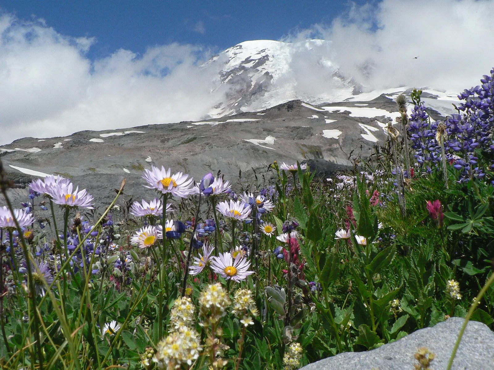
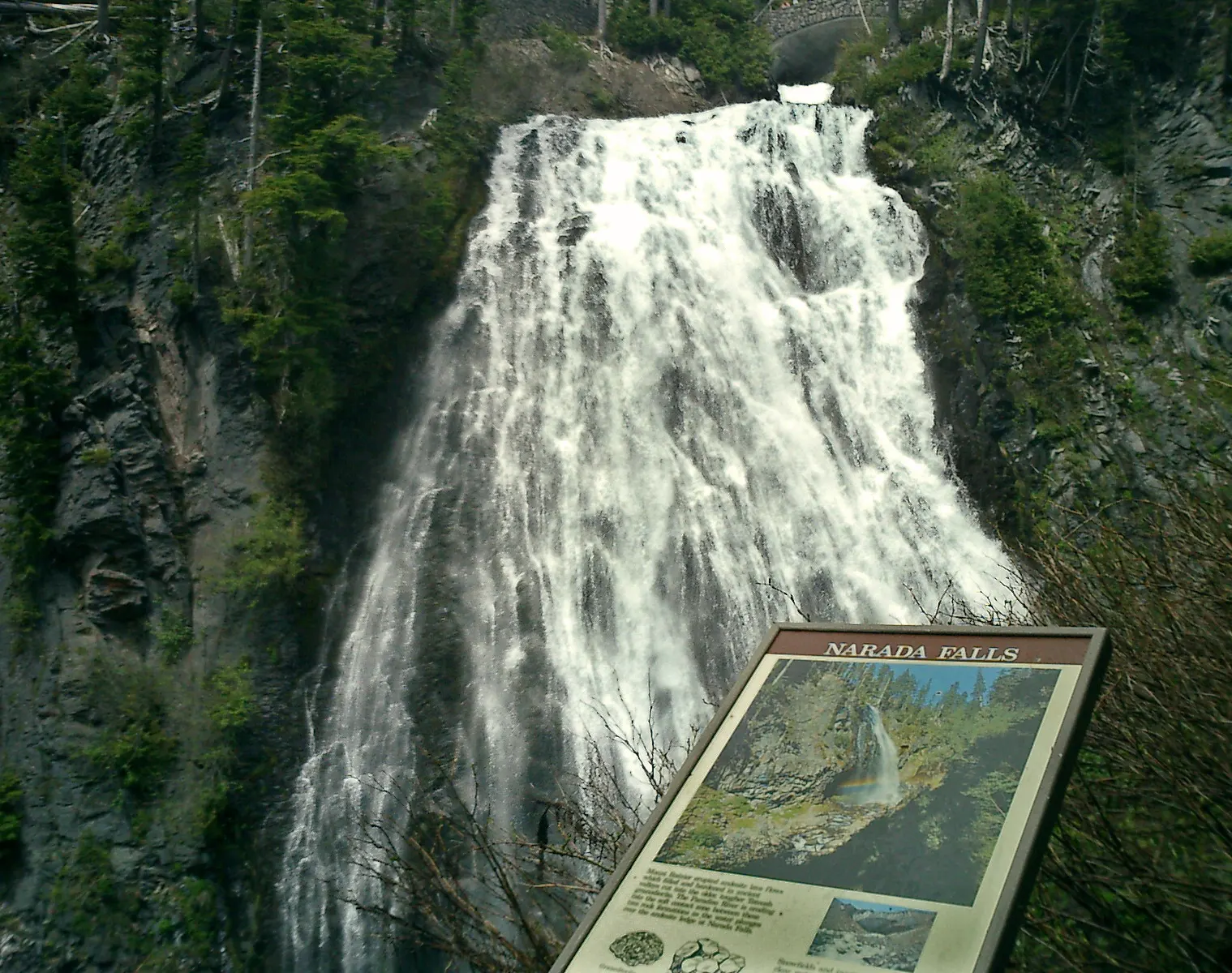
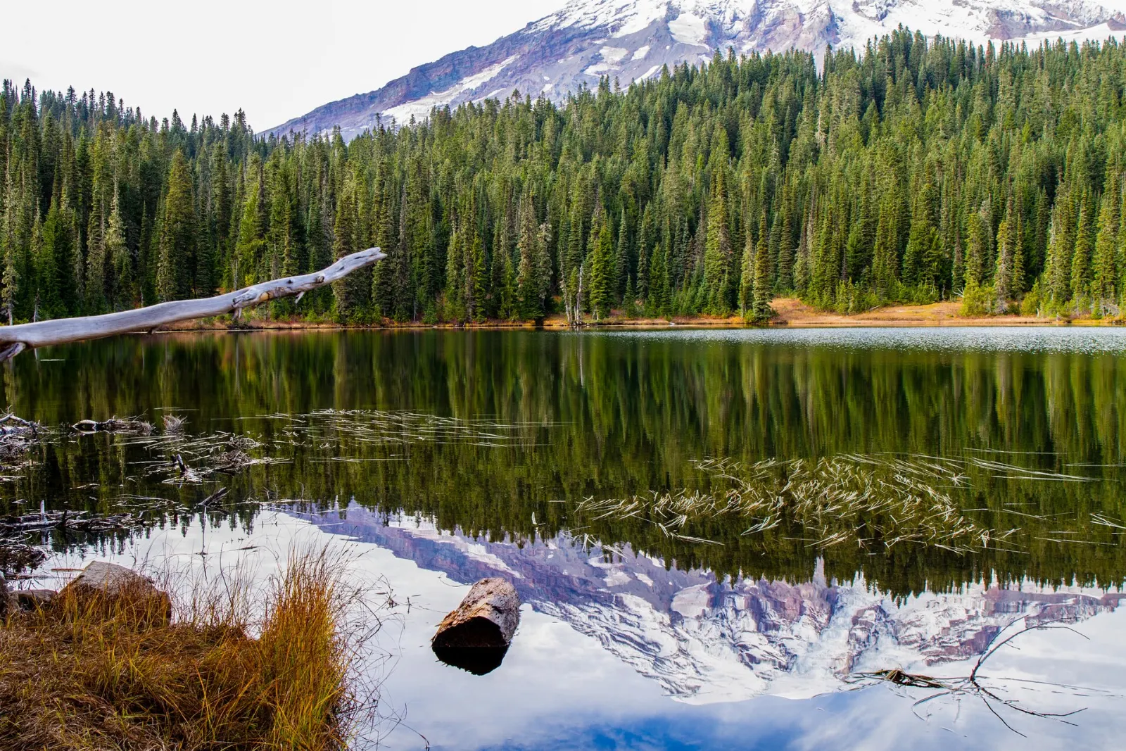
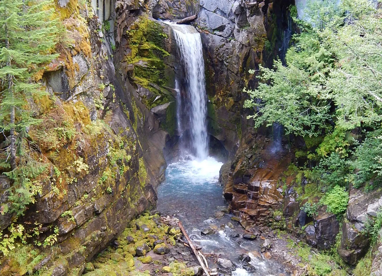
Mount Rainier National Park, Washington, United StatesMyrtle Falls lies a short walk along the Skyline Trail from the Paradise visitor area, Mount Rainier National Park, WashingtonNarada Falls drops down a rock face on the Paradise River below Paradise, Mount Rainier National Park, WashingtonOn calm mornings Mount Rainier is reflected in the surface of Reflection Lakes, Mount Rainier National Park, WashingtonChristine Falls is framed by a rustic stone road bridge between Longmire and Paradise, Mount Rainier National Park, Washington

About Mount Rainier National Park

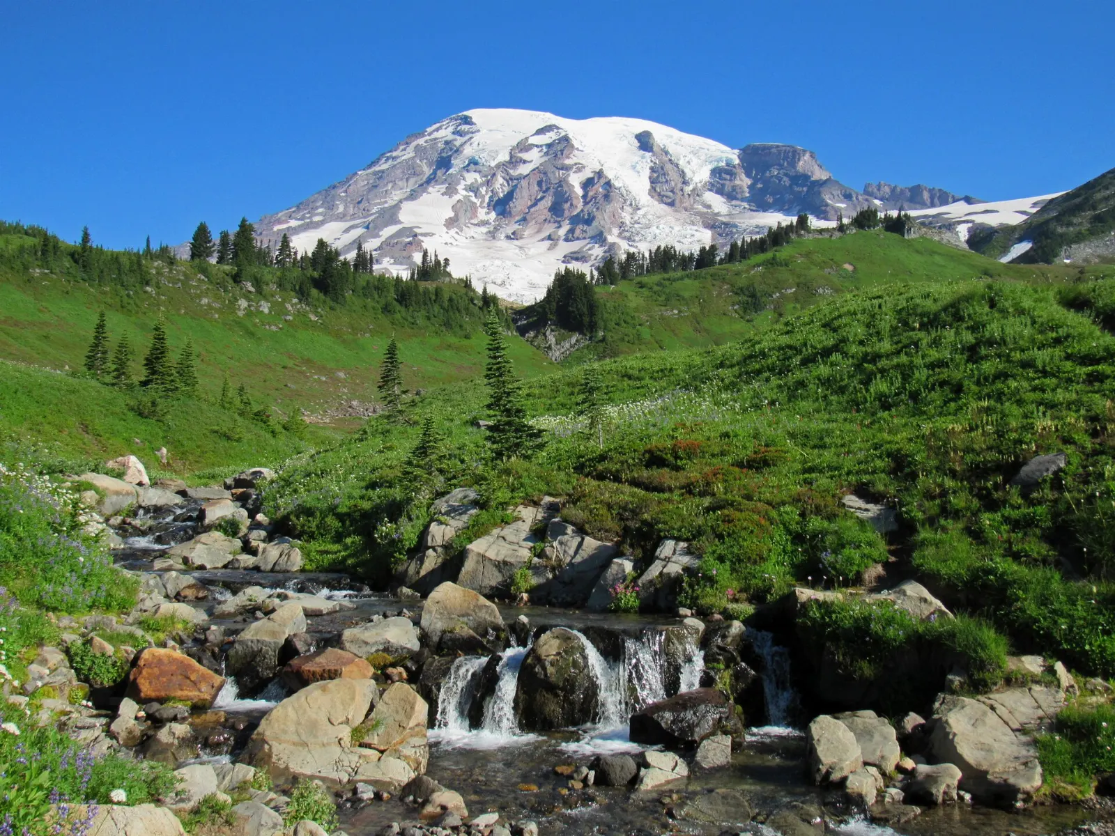
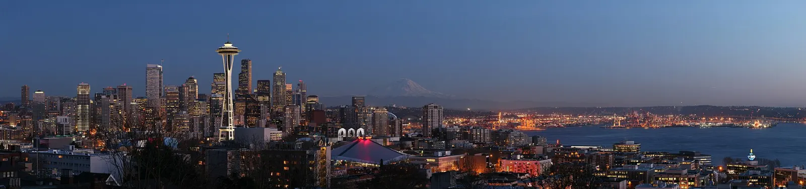
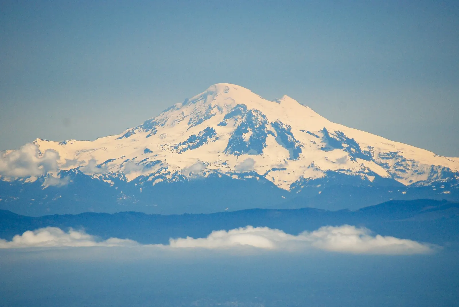
Mount Rainier rises more than 14,000 feet above the forests southeast of Seattle, an ice-capped stratovolcano that dominates the skyline across much of western Washington on clear days. The national park around it, established in 1899, protects glaciers, old-growth stands of Douglas fir and western red cedar, and subalpine meadows that bloom in a short, intense burst each summer. The mountain is still considered an active volcano,.

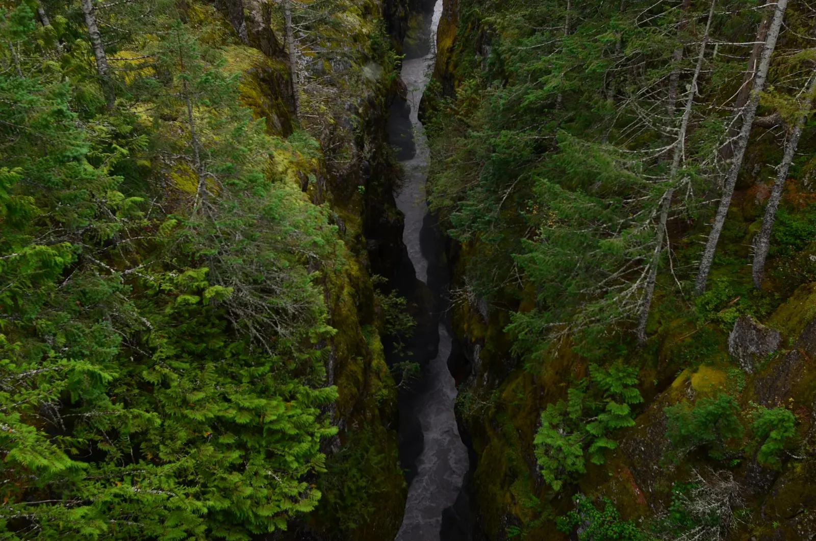
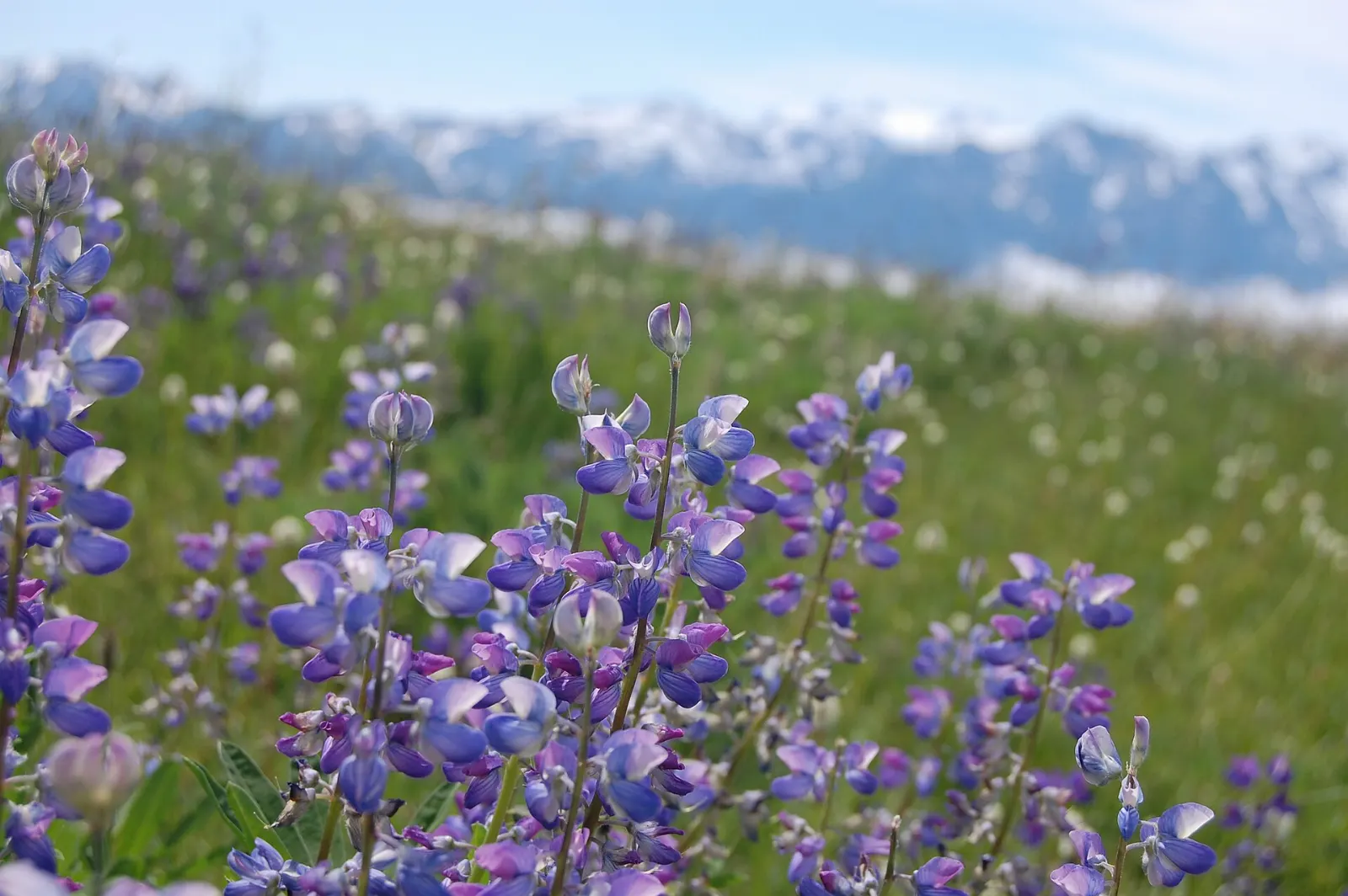
Most first visits center on Paradise, where the Skyline Trail climbs through wildflower slopes toward close views of the Nisqually Glacier. The road up from Longmire, the park's historic headquarters area, passes Christine Falls and Narada Falls, and a short detour leads to Reflection Lakes, known for mirror images of the summit on calm mornings. On the east side, Stevens Canyon Road threads past the narrow slot of Box Canyon, while Sunrise, the highest point reachable by car, looks straight at the Emmons Glacier. Tipsoo Lake marks the start of the Naches Peak Loop.

Hikers and photographers get the most from the park. The quieter northwest corner, with the rainforest of Carbon River and the trail from Mowich Lake to the Tolmie Peak lookout, suits travelers avoiding crowds. Several high roads open only once snow melts, so summer and early fall are the practical window.

Best seasonLate July through September, when high roads are open, snow has melted from trails and meadows bloom.
Ideal stayTwo to three days covers Paradise and Sunrise; add a day for Carbon River or Mowich Lake.
ArrivingMost visitors fly into Seattle-Tacoma International Airport and drive to the park, as public transit access is very limited.
Mount Rainier Washington Paradise and Reflection LakesWiserMap travel guideMount Rainier Washington Paradise and Reflection LakesPlan Mount Rainier National Park: Paradise, the Skyline Trail, Reflection Lakes, Narada Falls, Sunrise, Tipsoo Lake and Carbon River, with seasonal access tips.Read the guide

12 Reasons to Visit Mount Rainier National Park

Hikes 4

Paradise and the Skyline Trail, Mount Rainier National Park, Washington, United States

Paradise and the Skyline Trail

Paradise is a high meadow area on the south slope of Mount Rainier, famous for wildflowers from about late July to August and home...
Tipsoo Lake and the Naches Peak Loop, Mount Rainier National Park, Washington, United States

Tipsoo Lake and the Naches Peak Loop

Tipsoo Lake sits near Chinook Pass in the park's northeast corner, with Mount Rainier reflected in its waters. The Naches Peak Loo...
Mowich Lake and Tolmie Peak, Mount Rainier National Park, Washington, United States

Mowich Lake and Tolmie Peak

Mowich Lake is the largest and deepest lake in the park, reached by a long gravel road in the northwest. From its shore, a trail o...

Comet Falls Trail

A steep trail starting near Christine Falls on the road to Paradise that climbs through forest to Comet Falls, one of the tallest...

Waterfalls 2

Narada Falls, Mount Rainier National Park, Washington, United States

Narada Falls

A powerful waterfall on the Paradise River that drops in a wide veil beside the road between Longmire and Paradise. A short, steep...
Christine Falls, Mount Rainier National Park, Washington, United States

Christine Falls

A two-tier waterfall just off the road between Longmire and Paradise, framed by a graceful stone arch bridge built in the 1920s. A...

Lakes 1

Reflection Lakes, Mount Rainier National Park, Washington, United States

Reflection Lakes

Small subalpine lakes along Stevens Canyon Road just east of Paradise, known for perfect reflections of Mount Rainier on calm morn...

History 1

Longmire Historic District, Mount Rainier National Park, Washington, United States

Longmire Historic District

The park's original headquarters area in the southwest, with the rustic National Park Inn, a small museum in one of the oldest bui...

Viewpoints 1

Sunrise Visitor Center and Sourdough Ridge, Mount Rainier National Park, Washington, United States

Sunrise Visitor Center and Sourdough Ridge

At about 6,400 feet, Sunrise is the highest point in the park reachable by car, with close views of the Emmons Glacier on Mount Ra...

Scenic Drives 1

Box Canyon and Stevens Canyon Road, Mount Rainier National Park, Washington, United States

Box Canyon and Stevens Canyon Road

Stevens Canyon Road links Paradise with the park's east side, winding past lakes, waterfalls and big mountain views. Midway, Box C...

Nature 1

Carbon River rainforest, Mount Rainier National Park, Washington, United States

Carbon River rainforest

In the park's northwest corner, the Carbon River area protects a rare inland temperate rain forest of huge, moss-covered trees. Th...

Museums 1

Henry M. Jackson Memorial Visitor Center, Mount Rainier National Park, Washington, United States

Henry M. Jackson Memorial Visitor Center

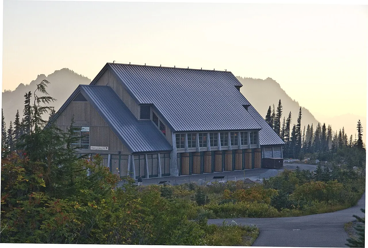
The main visitor center at Paradise, with exhibits on glaciers, volcanoes, wildlife and climbing on Mount Rainier, a short film an...

Reviews

No reviews yet. Been to Mount Rainier National Park? Be the first to share your experience.

Write a review

Share what you loved, what to skip and tips for other travelers.

Log in to write a review

Share your photos

Been to Mount Rainier National Park? Add your best shots to the gallery.

Log in to add photos

More places in Washington

See all places in United States →

Photo credits

Photo: Mount Rainier National Park from Ashford, WA, United States, Wikimedia Commons, Public domain

Photo: Jeffhollett, Wikimedia Commons, CC BY-SA 4.0

Photo: Mr.Z-man, Wikimedia Commons, CC BY-SA 3.0

Photo: Tj Kim, Wikimedia Commons, CC BY 3.0

Photo: Ron Clausen, Wikimedia Commons, CC BY-SA 4.0

Photo: Acroterion, Wikimedia Commons, CC BY-SA 4.0

Photo: Unknown author, Wikimedia Commons, CC BY-SA 4.0

Photo: Chris Light, Wikimedia Commons, CC BY-SA 4.0

Photo: Joe Mabel, Wikimedia Commons, CC BY-SA 4.0

Photo: Walter Siegmund, Wikimedia Commons, CC BY 2.5

Photo: Samuel Kerr, Wikimedia Commons, CC BY-SA 3.0

Photo: Walter Siegmund (talk), Wikimedia Commons, CC BY-SA 3.0

Photo: Dllu, Wikimedia Commons, CC BY-SA 4.0

Photo: Steven Pavlov, Wikimedia Commons, CC BY-SA 4.0

Photo: Joe Mabel, Wikimedia Commons, CC BY-SA 4.0

Photo: Acroterion, Wikimedia Commons, CC BY-SA 4.0

Photo: Steve Redman (MORA), Wikimedia Commons, Public domain

Photo: Walter Siegmund (talk), Wikimedia Commons, CC BY-SA 3.0

Photo: Farragutful, Wikimedia Commons, CC BY-SA 4.0

Photo: Mount Rainier NPS, Wikimedia Commons, CC BY 2.0

Photo: Walter Siegmund (talk), Wikimedia Commons, CC BY-SA 3.0

Photo: Vulturesong, Wikimedia Commons, CC0

Photo: Vulturesong, Wikimedia Commons, CC0

Photo: Joe Mabel, Wikimedia Commons, CC BY-SA 3.0

Photo: Joe Mabel, Wikimedia Commons, CC BY-SA 4.0

Photo: Joe Mabel, Wikimedia Commons, CC BY-SA 4.0

Photo: Deathgleaner, Wikimedia Commons, Public domain

Photo: Deathgleaner, Wikimedia Commons, Public domain

Photo: Vulturesong, Wikimedia Commons, CC0

Photo: US National Park Service, Wikimedia Commons, Public domain

Photo: Ron Clausen, Wikimedia Commons, CC BY-SA 4.0

Photo: Cal Wolfe, Wikimedia Commons, CC BY-SA 3.0

Photo: Steven Pavlov, Wikimedia Commons, CC BY-SA 4.0

Photo: Eric Kilby, Wikimedia Commons, CC BY-SA 2.0
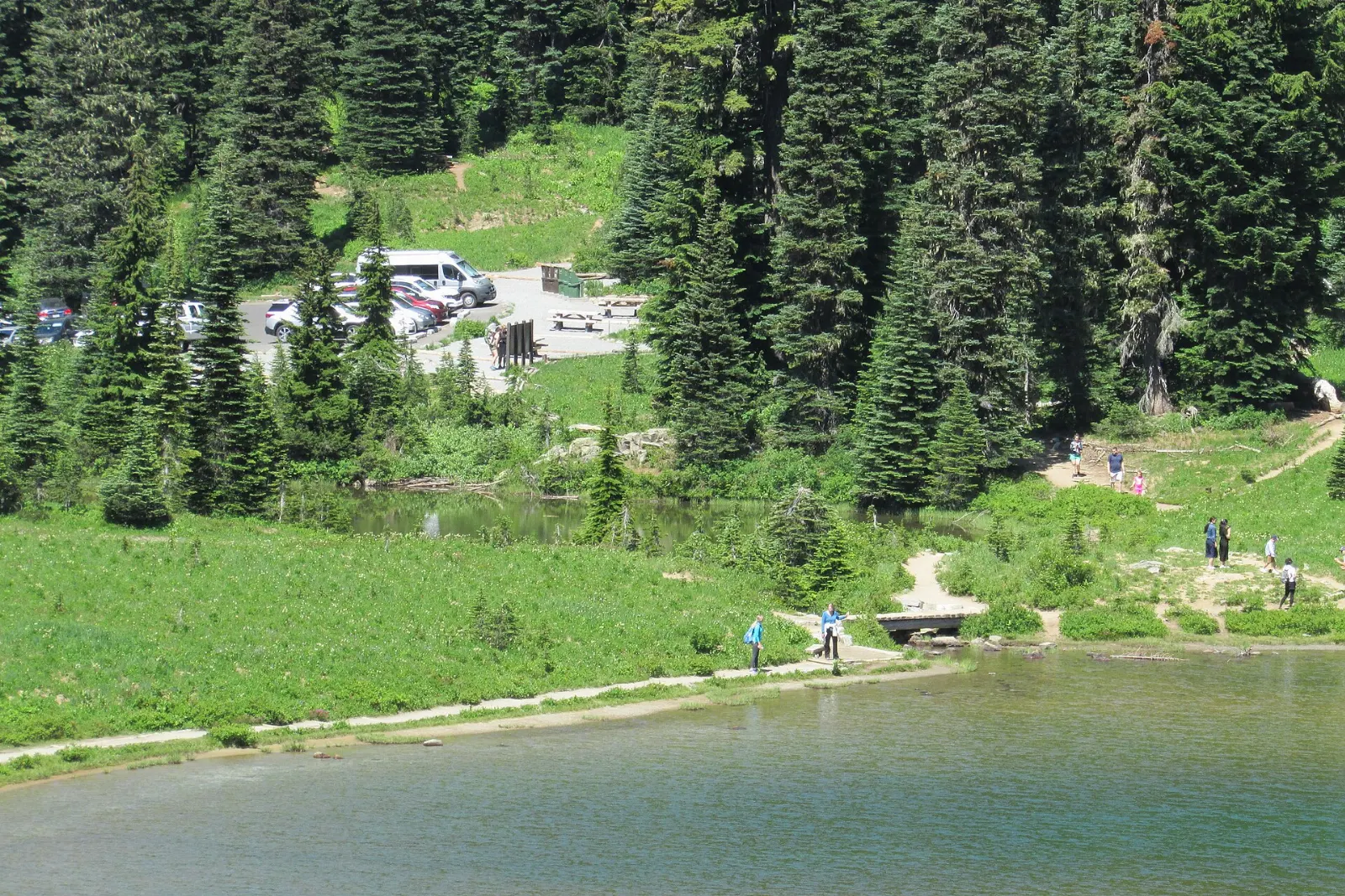
Photo: Joe Mabel, Wikimedia Commons, CC BY-SA 4.0

Photo: Joe Mabel, Wikimedia Commons, CC BY-SA 4.0

Photo: Acroterion, Wikimedia Commons, CC BY-SA 3.0

Photo: Acroterion, Wikimedia Commons, CC BY-SA 4.0

Photo: Joe Mabel., Wikimedia Commons, CC BY-SA 3.0

Photo: Mount Rainier National Park from Ashford, WA, United States, Wikimedia Commons, Public domain

Photo: King of Hearts, Wikimedia Commons, CC BY-SA 4.0

Photo: NPS Photo, Wikimedia Commons, Public domain

Photo: w_lemay, Wikimedia Commons, CC BY-SA 2.0
Photo: w_lemay, Wikimedia Commons, CC BY-SA 2.0
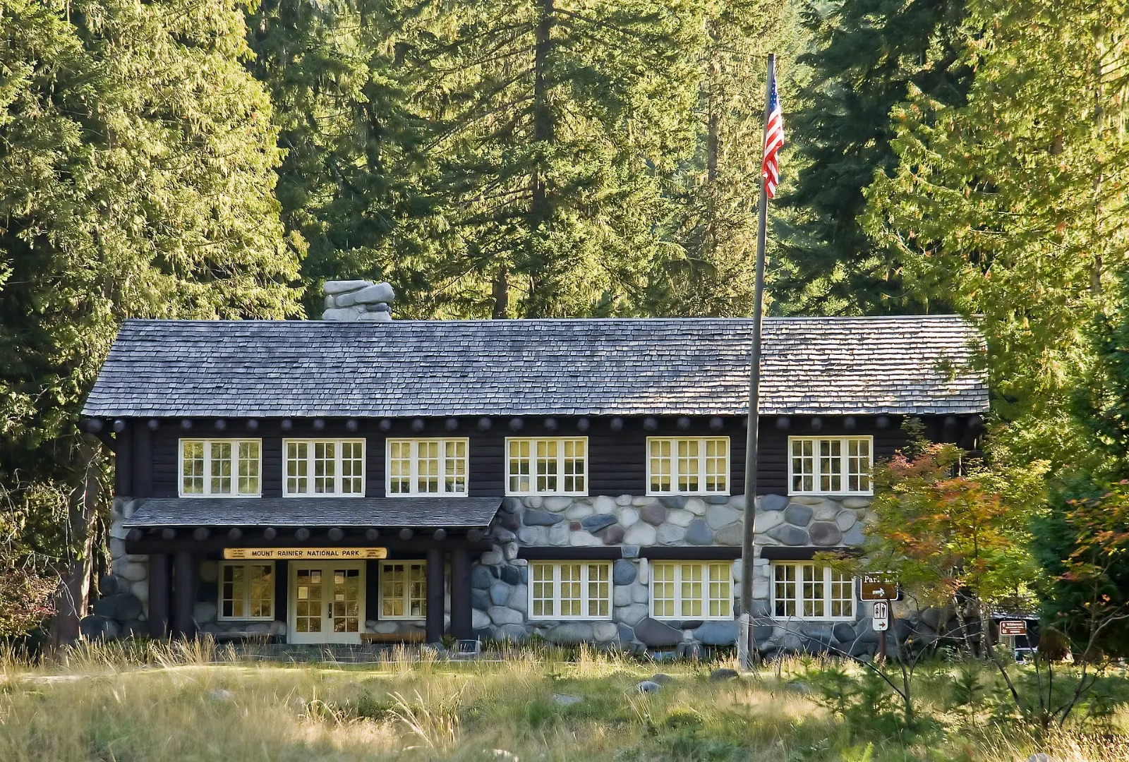
Photo: pfly from Pugetopolis, Wikimedia Commons, CC BY-SA 2.0
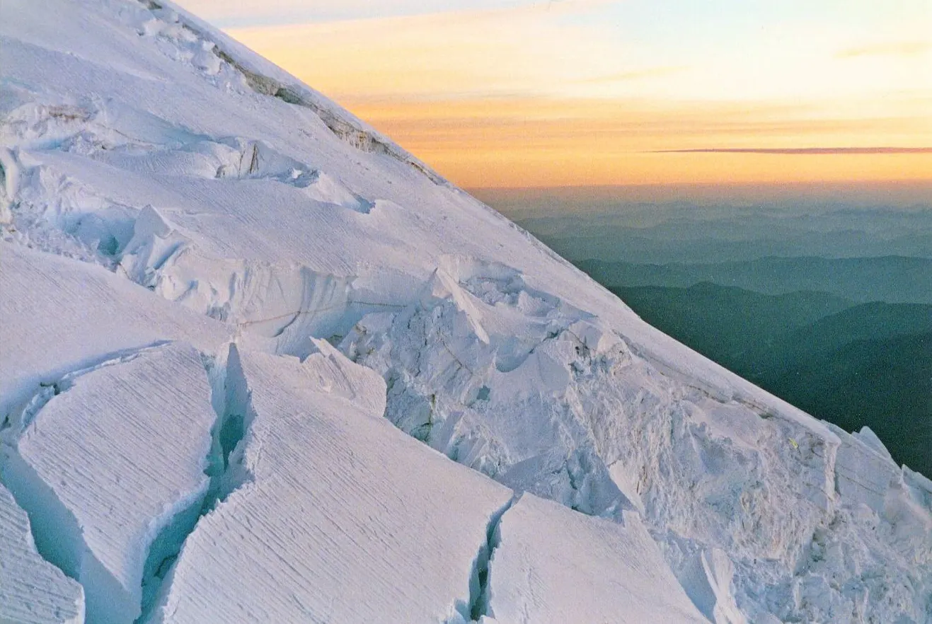
Photo: Loadmaster (David R. Tribble) This image was made by Loadmaster (David R. Tribbl, Wikimedia Commons, CC BY-SA 3.0

Photo: Loadmaster (David R. Tribble) This image was made by Loadmaster (David R. Tribbl, Wikimedia Commons, CC BY-SA 3.0

Photo: Mount Rainier NPS, Wikimedia Commons, Public domain

Photo: Mount Rainier NPS, Wikimedia Commons, Public domain

Photo: Mount Rainier NPS, Wikimedia Commons, Public domain

Photo: Mount Rainier NPS, Wikimedia Commons, Public domain

Photo: Mount Rainier NPS, Wikimedia Commons, Public domain

Photo: NPS Photo, Wikimedia Commons, Public domain

Photo: Unknown author, Wikimedia Commons, CC BY-SA 4.0

Photo: Acroterion, Wikimedia Commons, CC BY-SA 3.0

Photo: Joe Mabel., Wikimedia Commons, CC BY-SA 3.0

Photo: Joe Mabel, Wikimedia Commons, CC BY-SA 3.0

Photo: Joe Mabel, Wikimedia Commons, CC BY-SA 3.0

Photo: brewbooks from near Seattle, USA, Wikimedia Commons, CC BY-SA 2.0