WiserMap — Find local businesses. Choose wisely.Find local businesses. Choose wisely.Join free

Ucluelet

Tap the heart
Town British Columbia, Canada
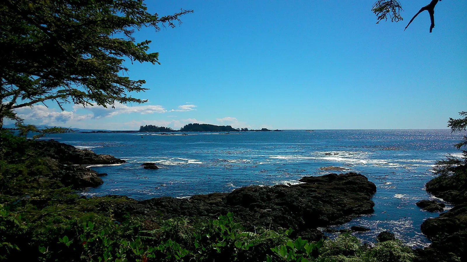
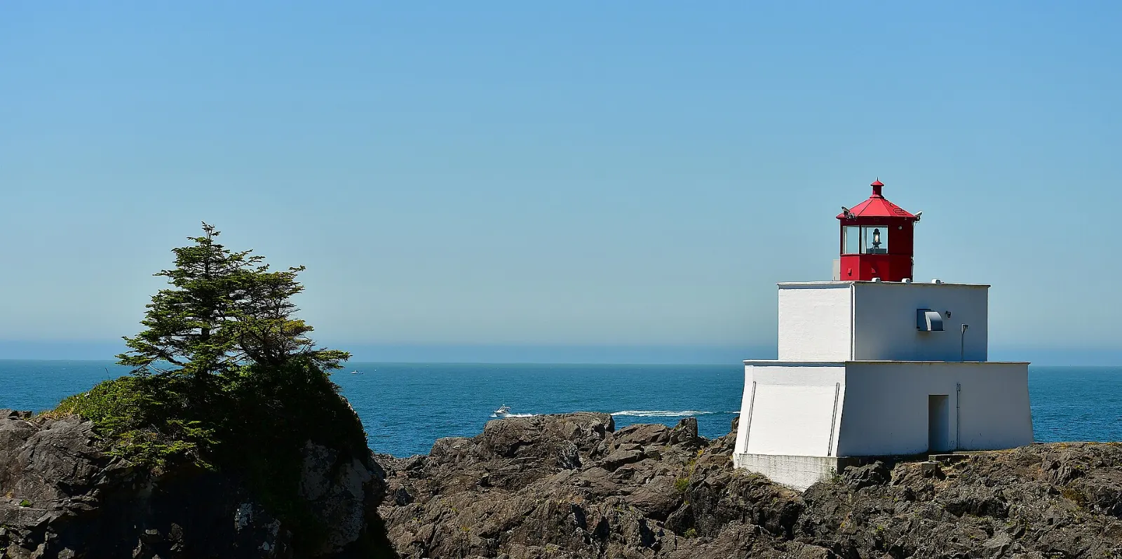
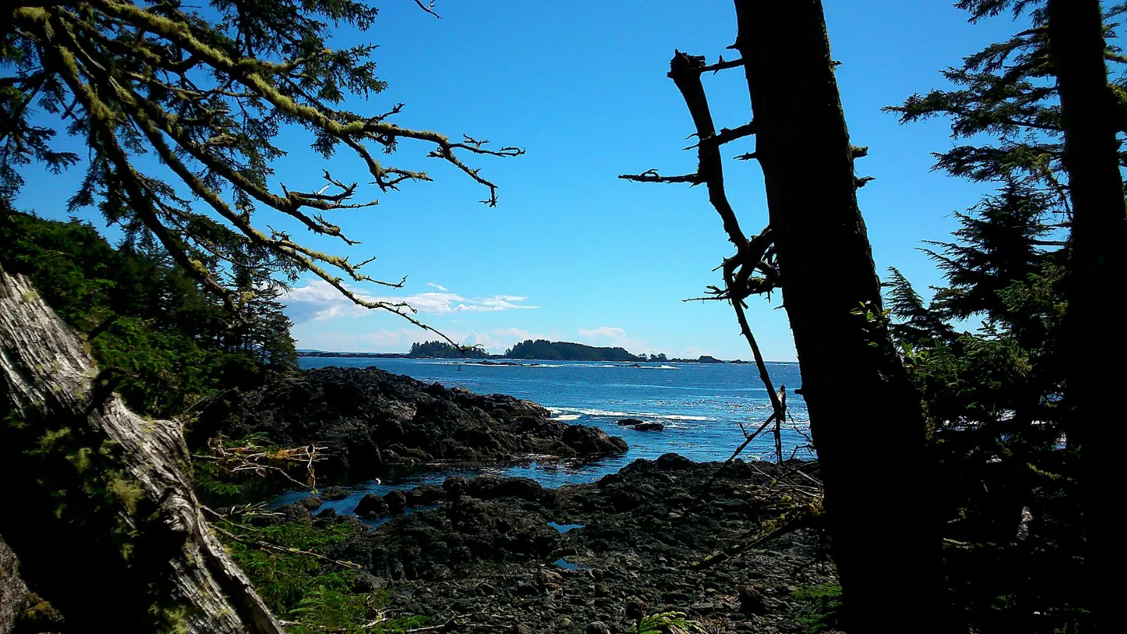
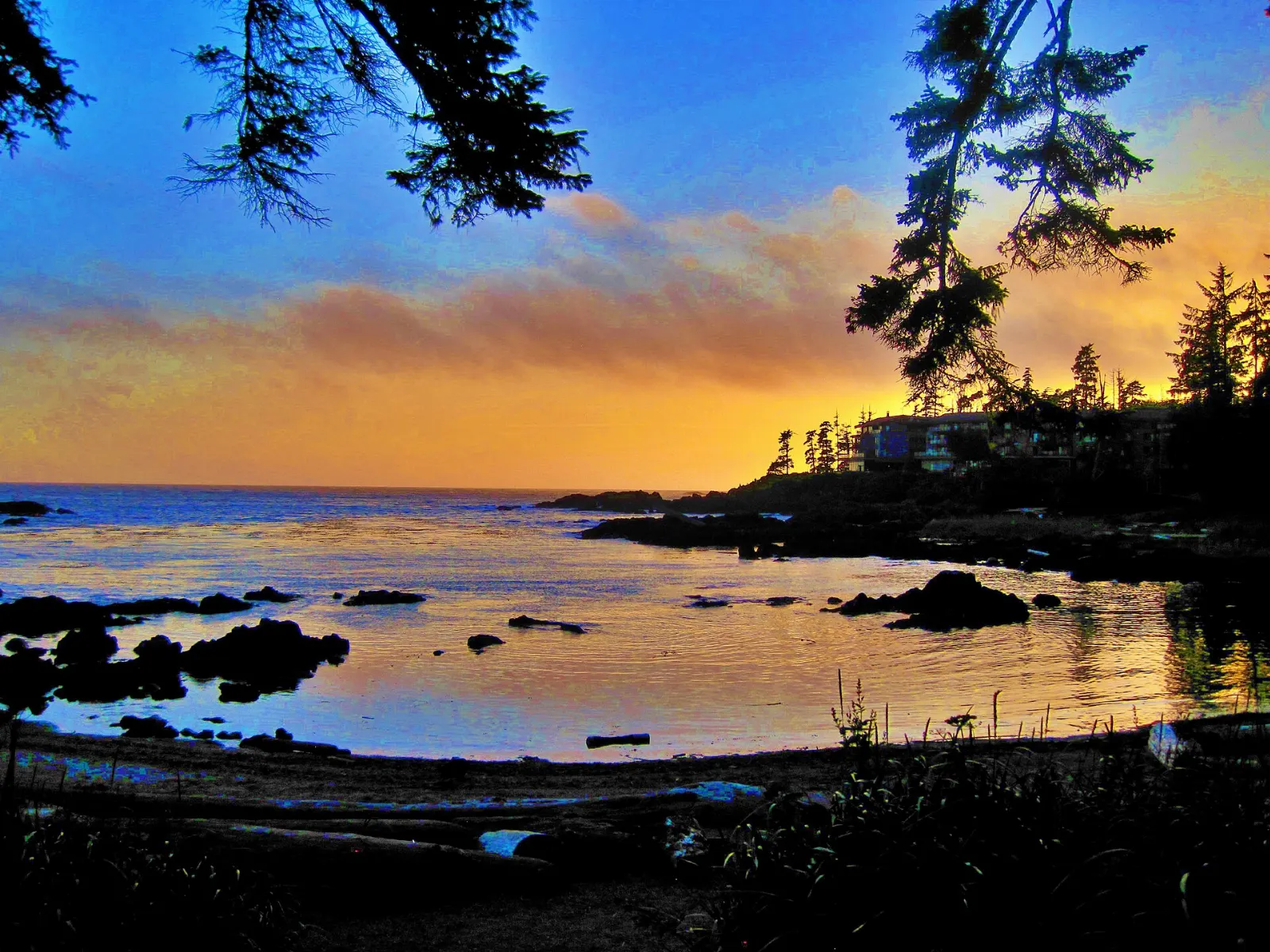
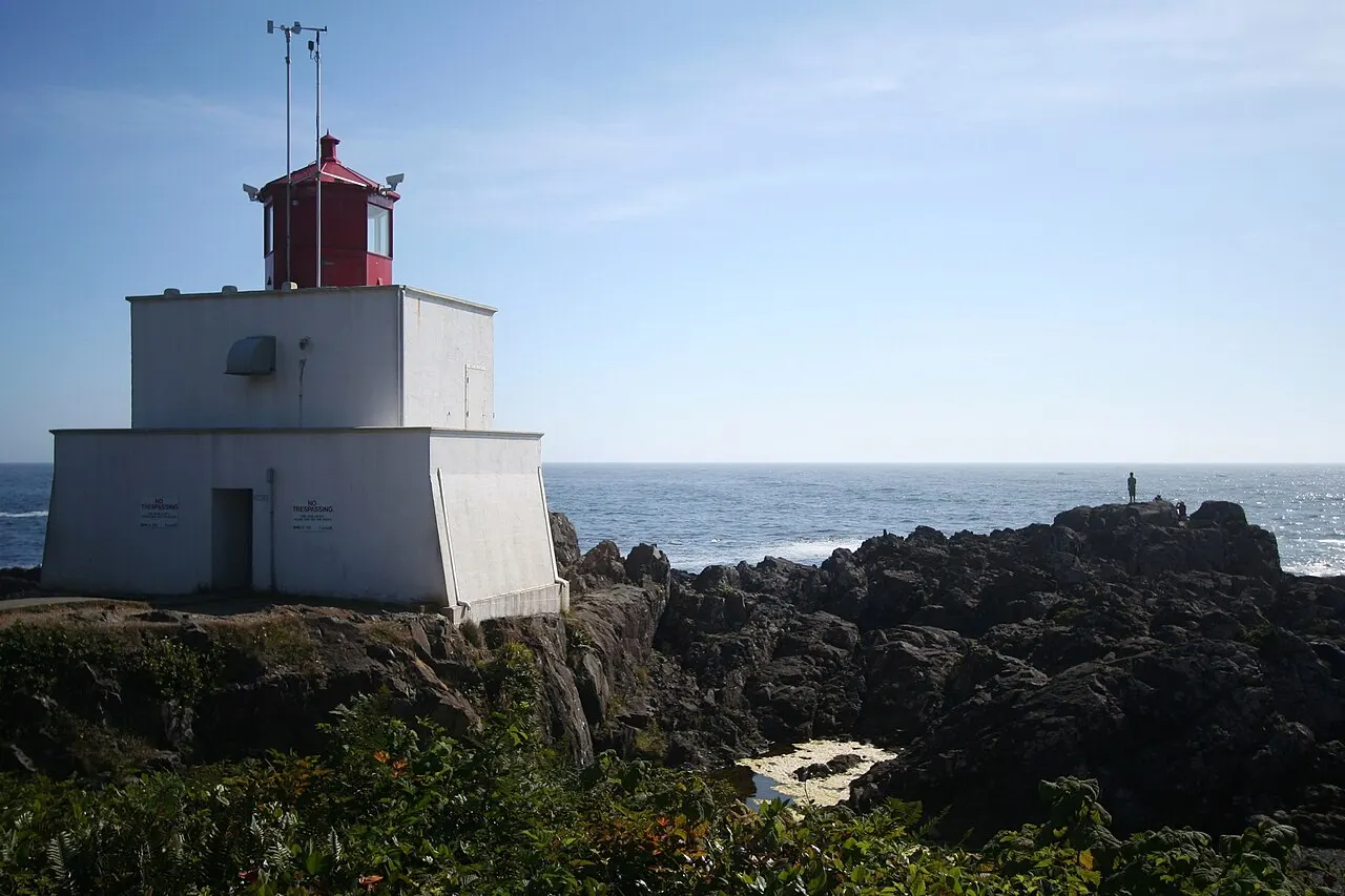
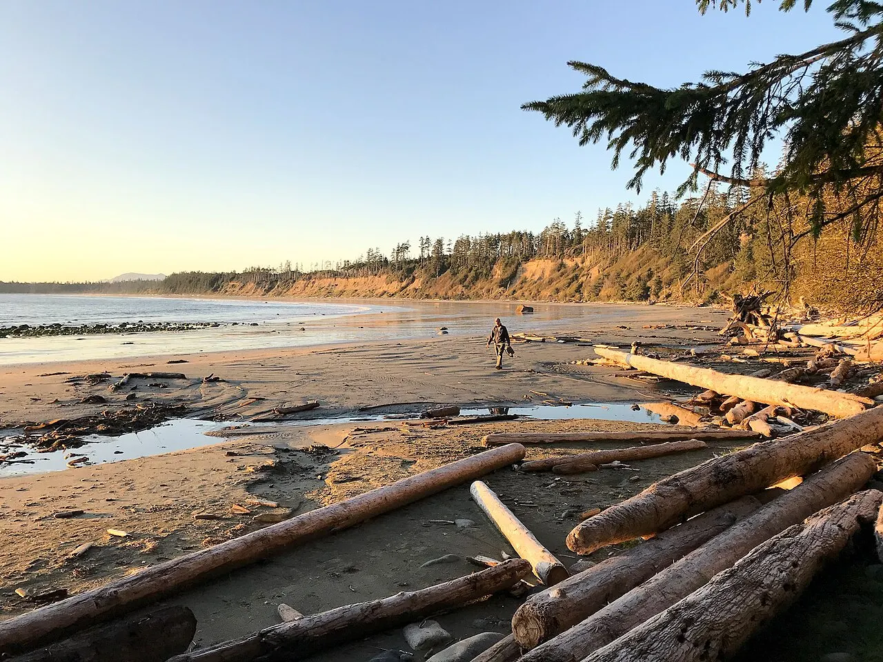
Ucluelet, British Columbia, Canada Amphitrite Point Lighthouse was first built in 1906 and is a landmark of Ucluelet, British Columbia The Lighthouse Loop is a short walk along the headlands near the lighthouse, Ucluelet, British Columbia Terrace Beach has calm shores that were once used as a canoe beach, Ucluelet, British Columbia Big Beach is a sandy spot for beachcombing and watching the sunset, Ucluelet, British Columbia

About Ucluelet

Ucluelet sits at the tip of a narrow peninsula on the west coast of Vancouver Island, between Barkley Sound and the open Pacific, about 40 kilometres south of Tofino. It is a working fishing town in the traditional territory of the Yuułuʔiłʔatḥ (Ucluelet First Nation), quieter and more low-key than its better-known neighbour.

The Wild Pacific Trail is the town's highlight, tracing the clifftops past Amphitrite Point Lighthouse, surge channels and old-growth forest. Boats leave the harbour for whale watching and for the islands of the Broken Group, while the small aquarium on the waterfront shows off local sea life. Just north of town, Pacific Rim National Park Reserve adds long beaches, boardwalk trails and the Kwisitis Visitor Centre.

Summer brings the warmest, driest days, while winter is storm season, when huge swells pound the rocks and visitors come to watch from safe viewpoints. Allow two or three days to enjoy the trail, the beaches and a trip on the water.

Best seasonSummer gives the most reliable trail weather; winter draws storm watchers to the exposed headlands.
Ideal stayTwo to four days allows time for the trail, a boat tour and nearby beaches.
ArrivingVisitors usually drive Highway 4 from the Nanaimo area, turning south at the junction near the national park.

12 Ways to Experience Ucluelet

Coast Trail and Town 4

Wild Pacific Trail, Ucluelet, British Columbia, Canada

Wild Pacific Trail

The Wild Pacific Trail follows the rocky edge of the Ucluelet peninsula past surge channels, coves and old-growth forest. The Ligh...
Amphitrite Point Lighthouse, Ucluelet, British Columbia, Canada

Amphitrite Point Lighthouse

Amphitrite Point Lighthouse is the small white lighthouse with a red lantern at the southern tip of the Ucluelet peninsula, overlo...
Terrace Beach, Ucluelet, British Columbia, Canada

Terrace Beach

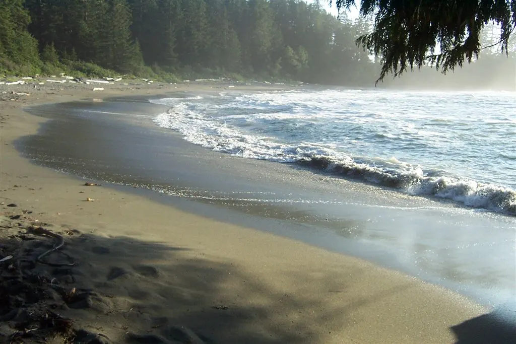
Terrace Beach is a small, sheltered beach on the Ucluelet peninsula, reached by a short trail from town that links to the Wild Pac...
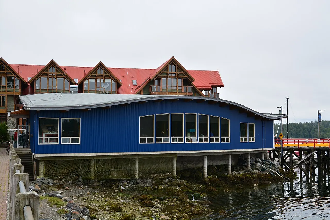
Ucluelet Aquarium, Ucluelet, British Columbia, Canada

Ucluelet Aquarium

The Ucluelet Aquarium is a small, non-profit catch-and-release aquarium on the town waterfront, showing sea life collected from ne...

Harbour, Islands and Lakes 4

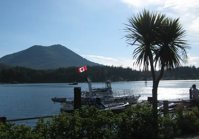
Ucluelet Harbour, Ucluelet, British Columbia, Canada

Ucluelet Harbour

Ucluelet Harbour lies on sheltered Ucluelet Inlet, where fishing boats, charter boats and pleasure craft crowd the docks below for...
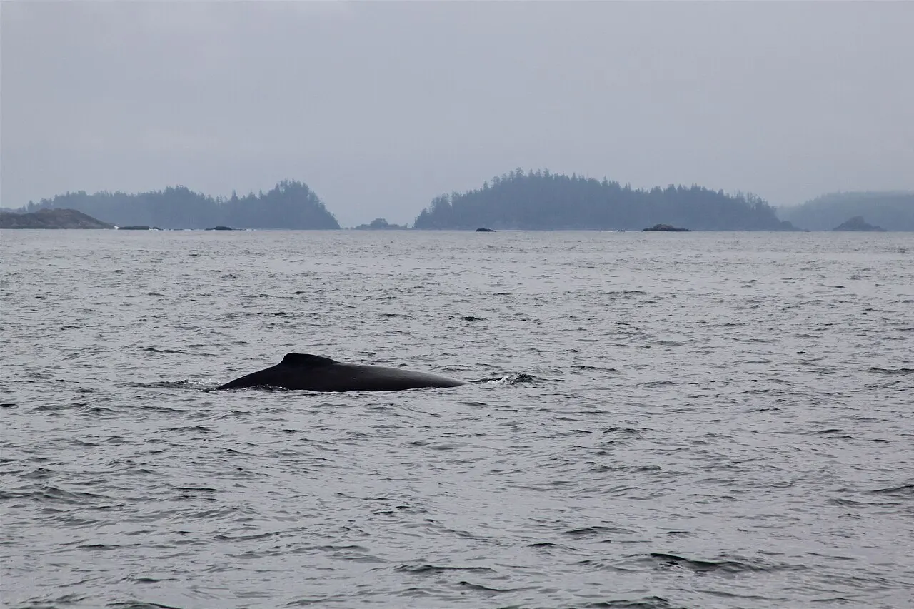
Ucluelet Whale Watching, Ucluelet, British Columbia, Canada

Ucluelet Whale Watching

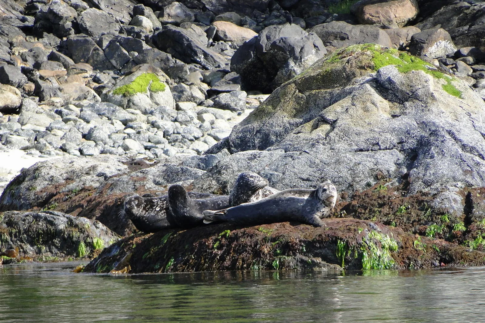
Whale-watching boats leave Ucluelet for Barkley Sound and the open Pacific to look for grey and humpback whales, plus sea lions an...
Barkley Sound, Ucluelet, British Columbia, Canada

Barkley Sound

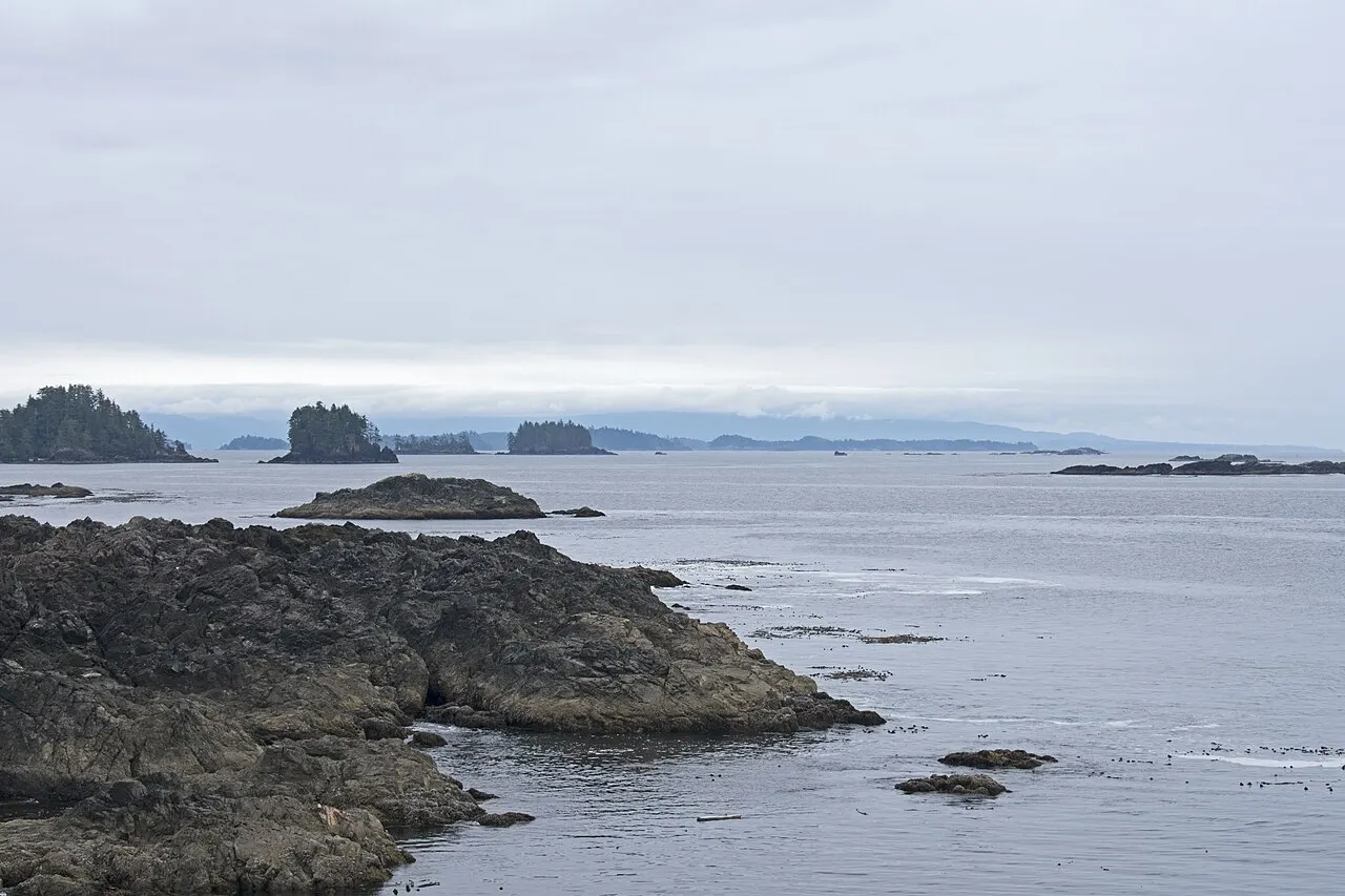
Barkley Sound is the wide, island-studded sound that Ucluelet looks out over, with the Broken Group Islands scattered across its m...
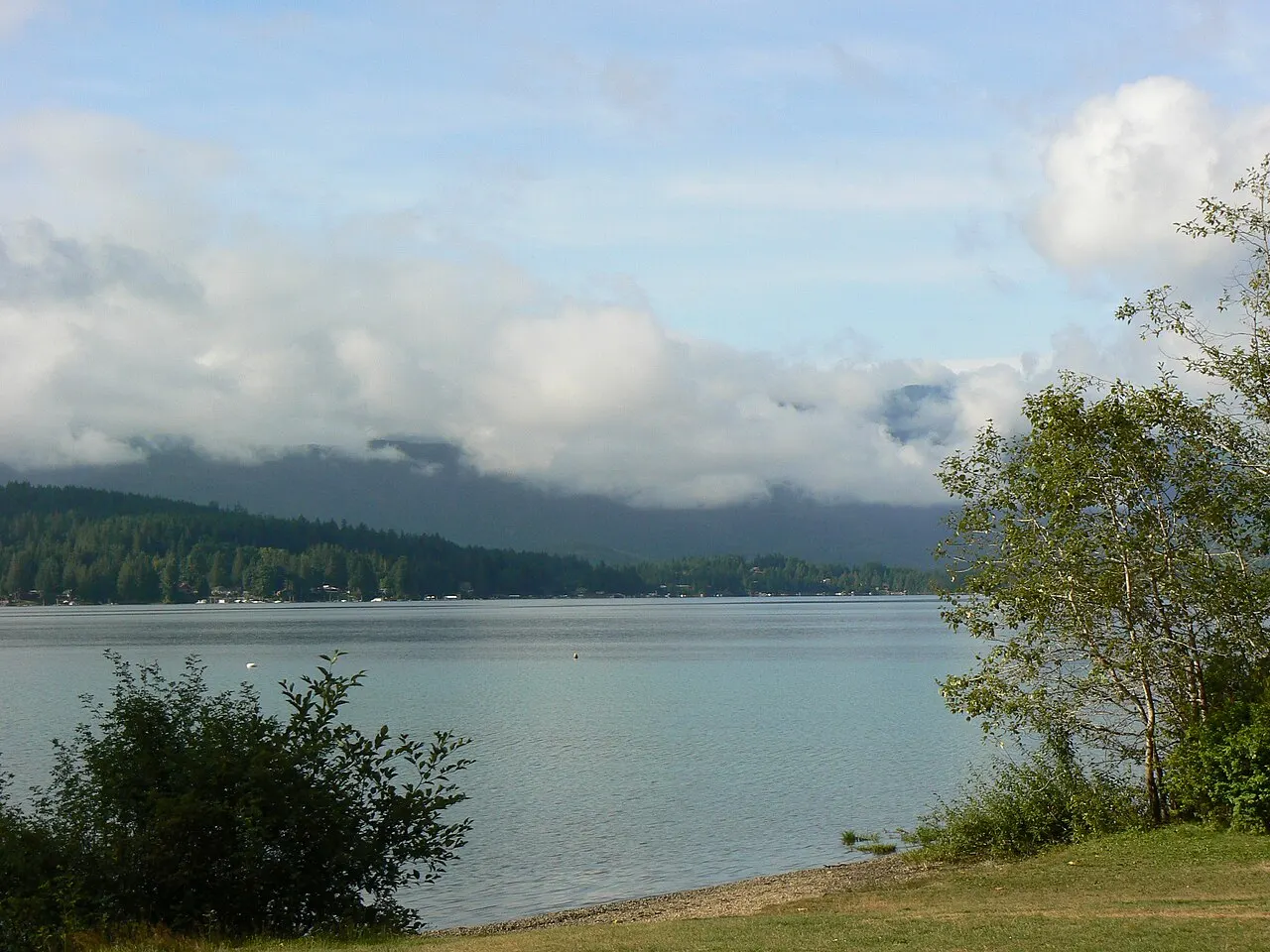
Kennedy Lake, Ucluelet, British Columbia, Canada

Kennedy Lake

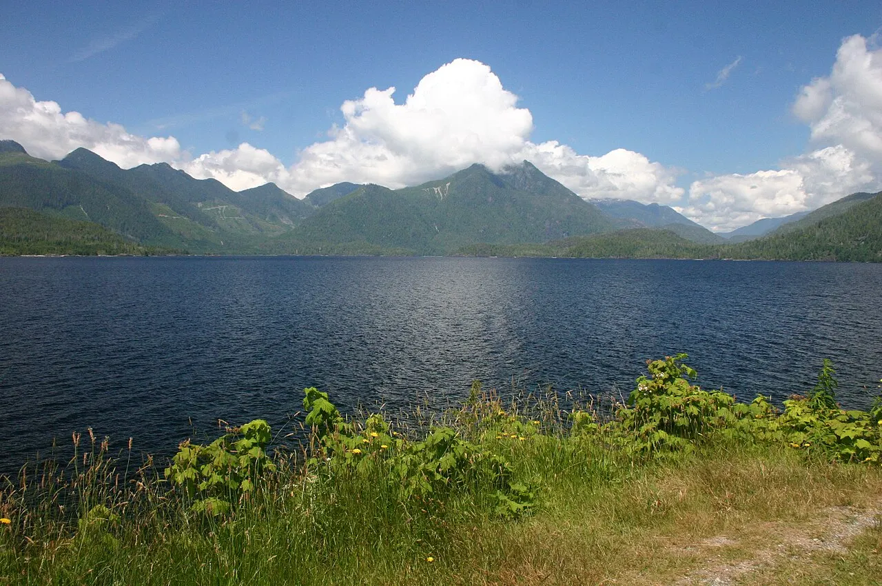
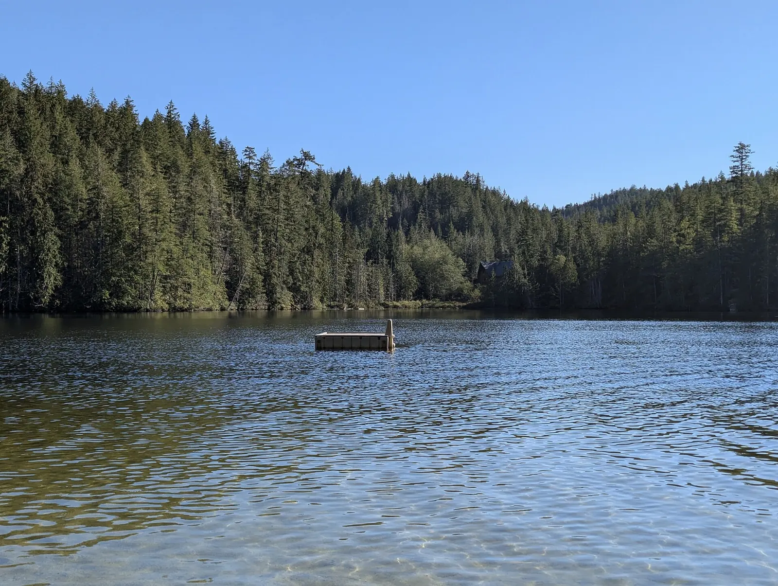
Kennedy Lake is one of the largest lakes on Vancouver Island, lying beside Highway 4 near Ucluelet, with forested mountains rising...

Beaches and Highway 4 4

Florencia Bay, Ucluelet, British Columbia, Canada

Florencia Bay

Florencia Bay is a long, wild beach in Pacific Rim National Park Reserve just north of Ucluelet, named after a ship wrecked nearby...
Half Moon Bay, Ucluelet, British Columbia, Canada

Half Moon Bay

Half Moon Bay is a small, sheltered crescent of sand in Pacific Rim National Park Reserve, a short drive north of Ucluelet, reache...
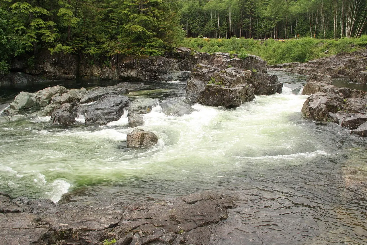
Kennedy River, Ucluelet, British Columbia, Canada

Kennedy River

The Kennedy River tumbles through rocky rapids and clear green pools beside Highway 4 as the road winds through the mountains east...
Sproat Lake Provincial Park, Ucluelet, British Columbia, Canada

Sproat Lake Provincial Park

Sproat Lake Provincial Park sits on Highway 4 west of Port Alberni, on the long drive between the east coast of Vancouver Island a...

Share your photos

Been to Ucluelet? Add your best shots to the gallery.

Log in to add photos

More places in British Columbia

See all places in Canada →

Photo credits

Photo: Kevstan, Wikimedia Commons, CC BY-SA 4.0

Photo: Letartean, Wikimedia Commons, CC BY 4.0

Photo: Kevstan, Wikimedia Commons, CC BY-SA 4.0

Photo: SandraPaquin, Wikimedia Commons, CC BY-SA 4.0

Photo: Sarena D, Wikimedia Commons, CC BY-SA 4.0

Photo: Tourism Ucluelet, Wikimedia Commons, Public domain

Photo: Pstgermain, Wikimedia Commons, CC BY-SA 4.0

Photo: Kevstan, Wikimedia Commons, CC BY-SA 4.0

Photo: Paul W, Wikimedia Commons, CC0

Photo: Roy Luck, Wikimedia Commons, CC BY 2.0

Photo: Darren Kirby from Penticton, Canada, Wikimedia Commons, CC BY-SA 2.0

Photo: Roy Luck, Wikimedia Commons, CC BY 2.0

Photo: dvs from Vermont, USA, Wikimedia Commons, CC BY 2.0

Photo: Roy Luck, Wikimedia Commons, CC BY 2.0

Photo: Roland Tanglao from Vancouver, Canada, Wikimedia Commons, CC BY 2.0

Photo: Roland Tanglao from Vancouver, Canada, Wikimedia Commons, CC BY 2.0

Photo: Jack Borno, Wikimedia Commons, CC BY-SA 3.0

Photo: Paul David Doherty (User:PDD), Wikimedia Commons, CC BY-SA 3.0

Photo: Kevstan, Wikimedia Commons, CC BY-SA 4.0

Photo: Kevstan, Wikimedia Commons, CC BY-SA 4.0

Photo: Kevstan, Wikimedia Commons, CC BY-SA 4.0

Photo: Ruth Hartnup from Vancouver, Canada, Wikimedia Commons, CC BY 2.0

Photo: Shaundd, Wikimedia Commons, CC BY-SA 4.0

Photo: Ymblanter, Wikimedia Commons, CC BY-SA 4.0

Photo: Sdariun, Wikimedia Commons, CC BY-SA 4.0

Photo: SandraPaquin, Wikimedia Commons, CC BY-SA 4.0

Photo: Shaundd, Wikimedia Commons, CC BY-SA 4.0

Photo: Kevstan, Wikimedia Commons, CC BY-SA 4.0

Photo: Kevstan, Wikimedia Commons, CC BY-SA 4.0

Photo: Kevstan, Wikimedia Commons, CC BY-SA 4.0

Photo: Kevstan, Wikimedia Commons, CC BY-SA 4.0

Photo: Tourism Ucluelet, Wikimedia Commons, Public domain

Photo: Roy Luck, Wikimedia Commons, CC BY 2.0

Photo: Redonebird, Wikimedia Commons, Copyrighted free use

Photo: Roy Luck, Wikimedia Commons, CC BY 2.0

Photo: Ymblanter, Wikimedia Commons, CC BY-SA 4.0

Photo: Ymblanter, Wikimedia Commons, CC BY-SA 4.0

Photo: Wing-Chi Poon, Wikimedia Commons, CC BY-SA 3.0

Photo: Schwarzenfelder, Wikimedia Commons, CC BY-SA 4.0

Photo: dvs from Vermont, USA, Wikimedia Commons, CC BY 2.0

Photo: dvs from Vermont, USA, Wikimedia Commons, CC BY 2.0

Photo: Gerry Thomasen from Nanaimo, Canada, Wikimedia Commons, CC BY 2.0

Photo: Redonebird, Wikimedia Commons, CC BY-SA 4.0
Photo: Ymblanter, Wikimedia Commons, CC BY-SA 4.0
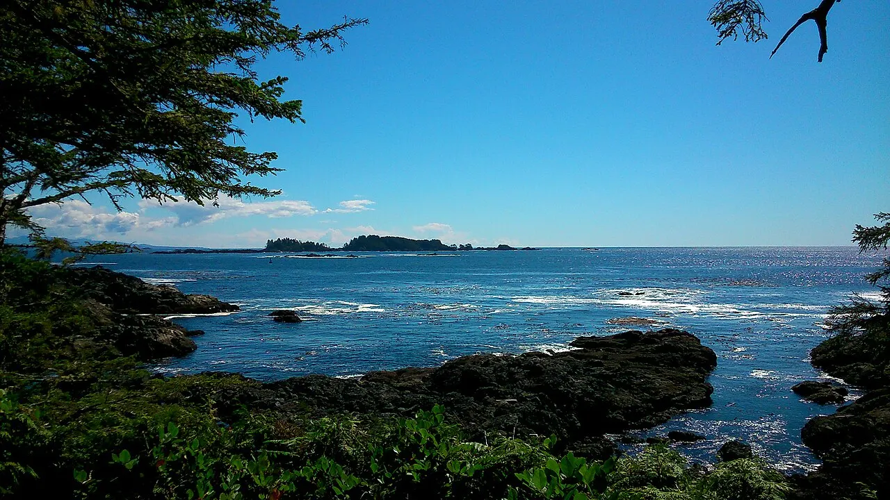
Photo: Kevstan, Wikimedia Commons, CC BY-SA 3.0

Photo: LMEdelsward, Wikimedia Commons, CC BY-SA 4.0