About Victorville
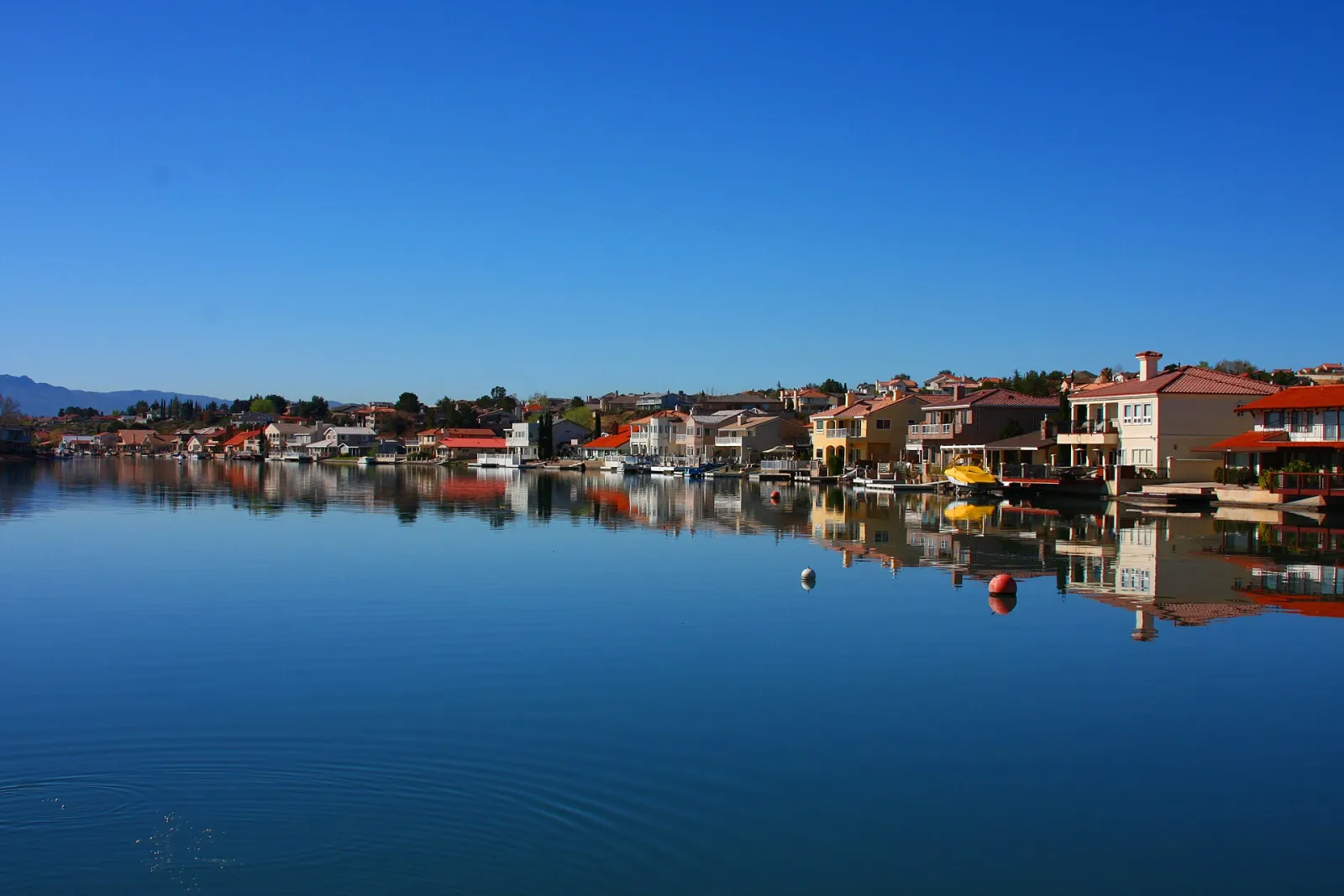
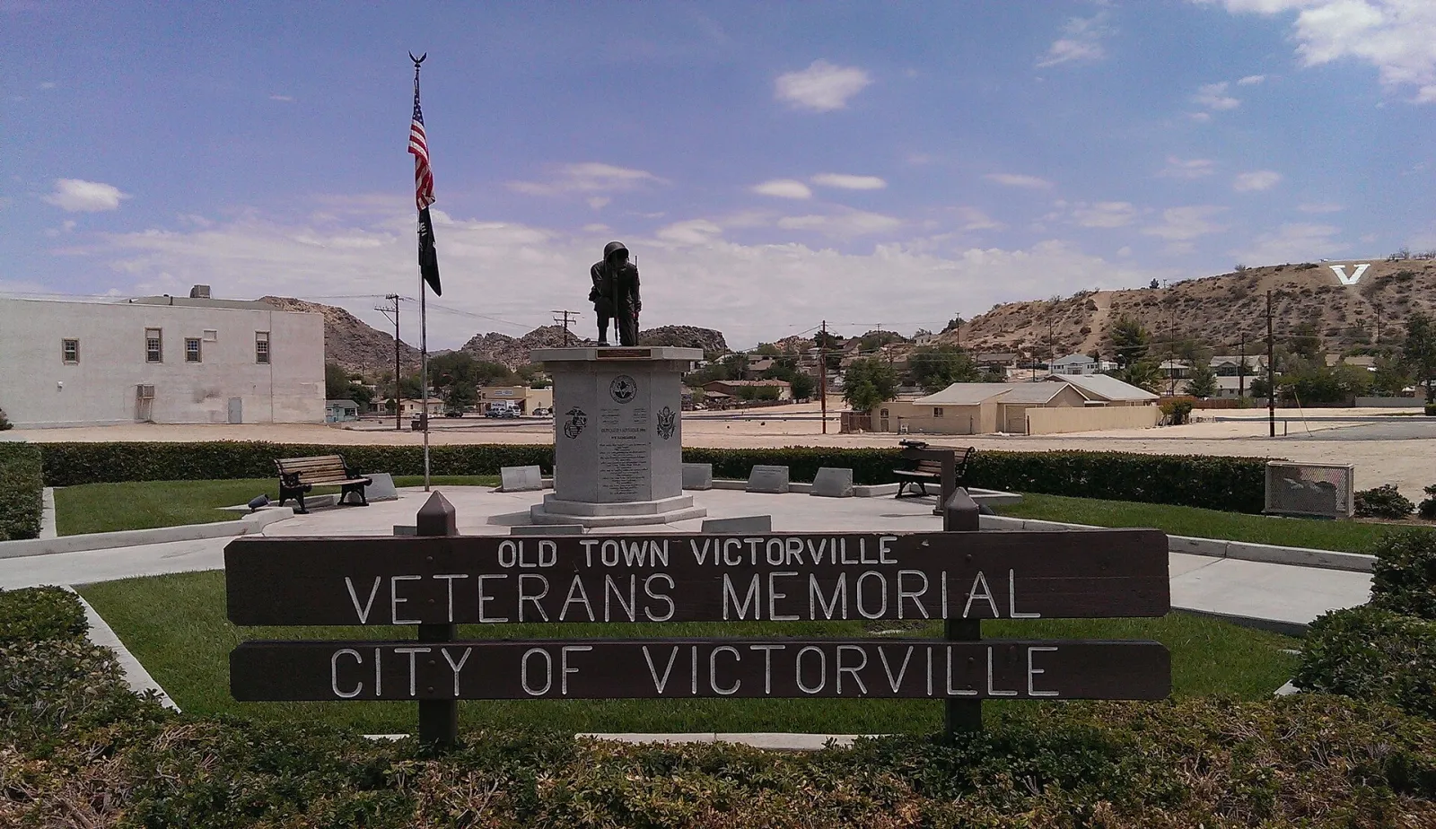
Victorville is the largest city in California's High Desert, set along the Mojave River in San Bernardino County about 85 miles northeast of Los Angeles. The town grew up in the 1880s around the railroad through the Cajon Pass and was named for Jacob Nash Victor, a construction superintendent of the California Southern Railroad. Ranching, cement plants and the railroad shaped its early years, and in the 1920s and 1930s Route 66 brought a steady stream of travelers through the old town on their way across the desert.
Victorville incorporated in 1962, and its population has grown to well over 130,000 as families moved to the Victor Valley for its open space and lower housing costs. The former George Air Force Base on the north side of town is now the Southern California Logistics Airport, used for cargo, aircraft storage and testing, and Interstate 15 links the city with the Inland Empire and Las Vegas.
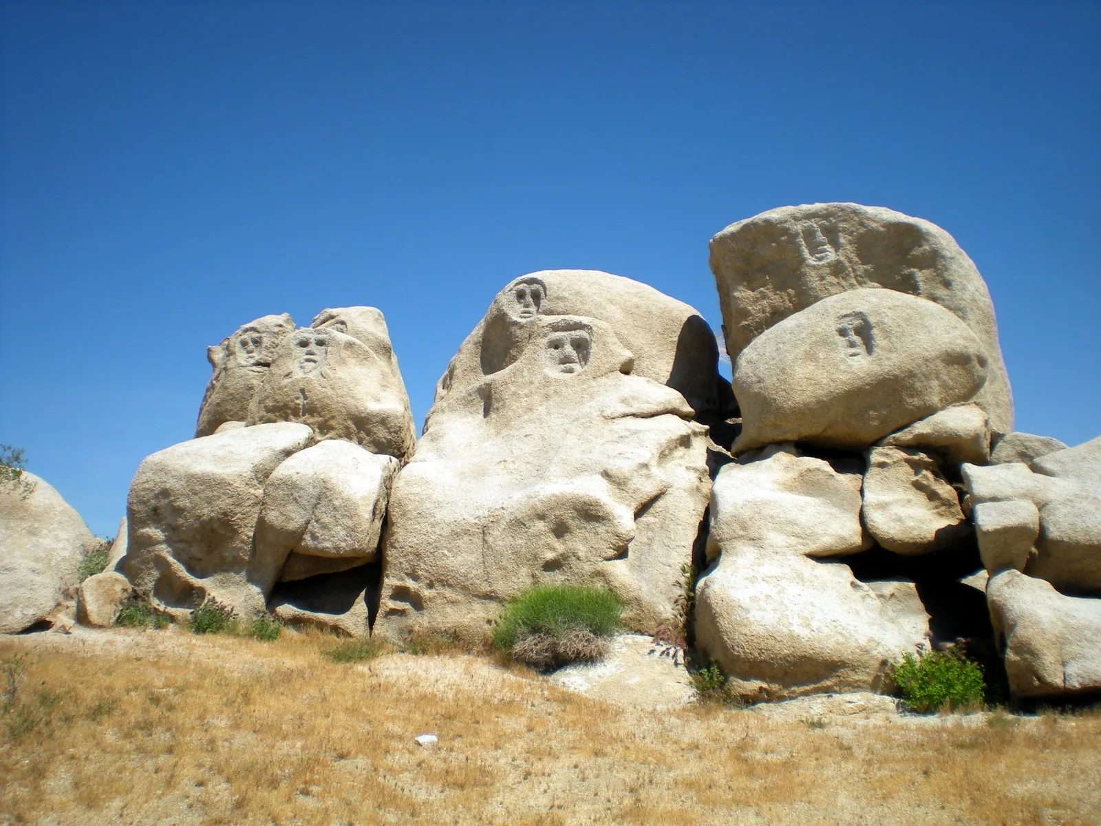
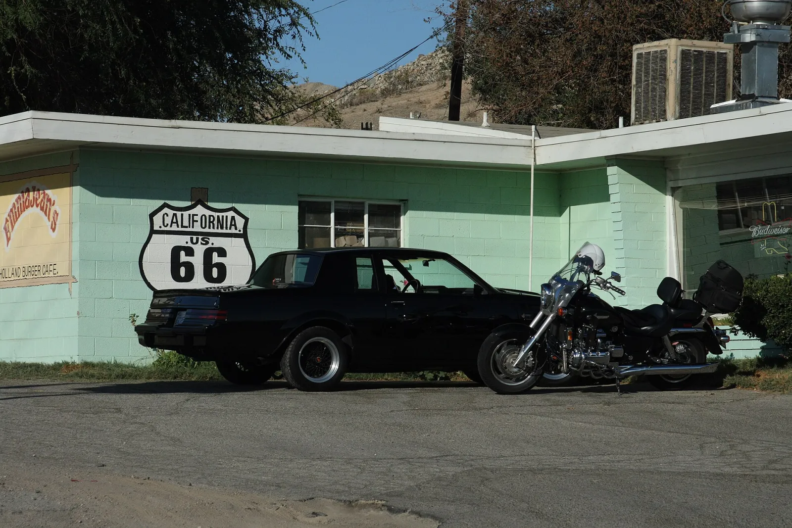
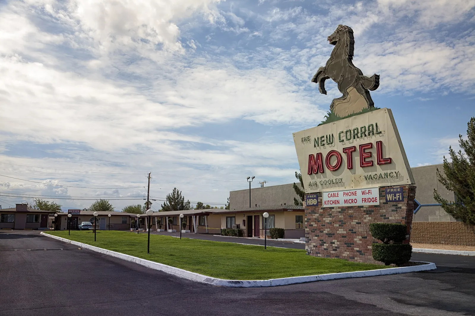
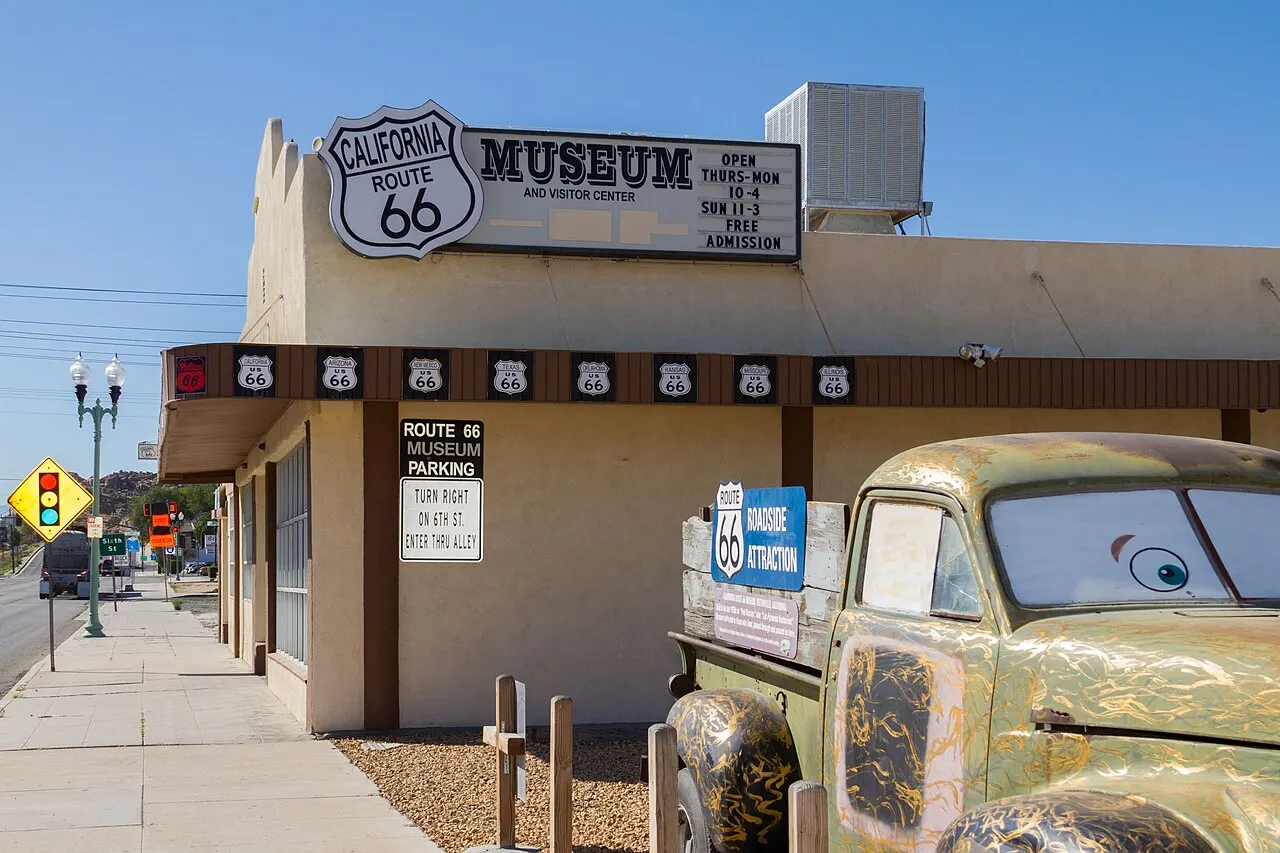
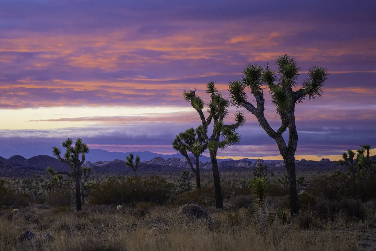
For visitors, Victorville's Route 66 heritage is the main attraction. The California Route 66 Museum in Old Town collects signs, photographs and roadside memorabilia, and classic stops such as Emma Jean's Holland Burger Cafe and the New Corral Motel keep the old highway alive. Mojave Narrows Regional Park offers fishing lakes and shady trails where the river comes to the surface, and the granite boulders and wide desert views around the valley make the area a good stop on a drive between Los Angeles and Las Vegas.
Best seasonOctober to May for mild days; summers are very hot, and winter nights can drop near freezing.
Ideal stayA half day to one day for the Route 66 Museum, Old Town, a classic diner and Mojave Narrows Regional Park.
ArrivingOntario International Airport is about 45 minutes away by car, Interstate 15 runs through the city, and Amtrak's Southwest Chief stops at Victorville station.