WiserMap — Choose wisely. Connect locally.Choose wisely. Connect locally.Add your business

Sleeping Giant Provincial Park

No reviews yetProvincial park Ontario, Canada
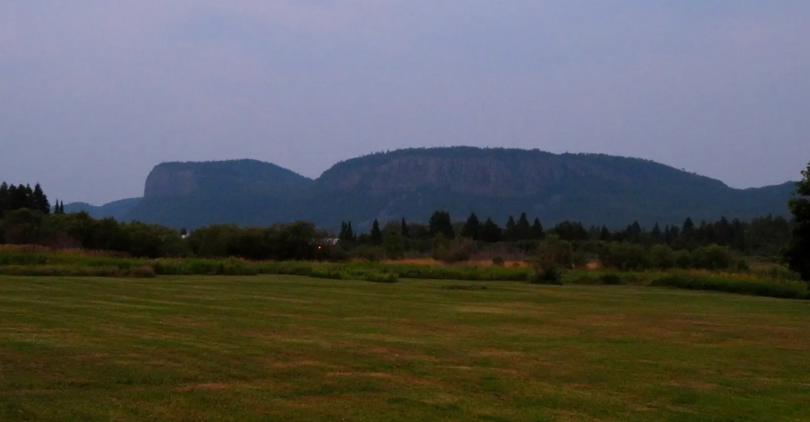
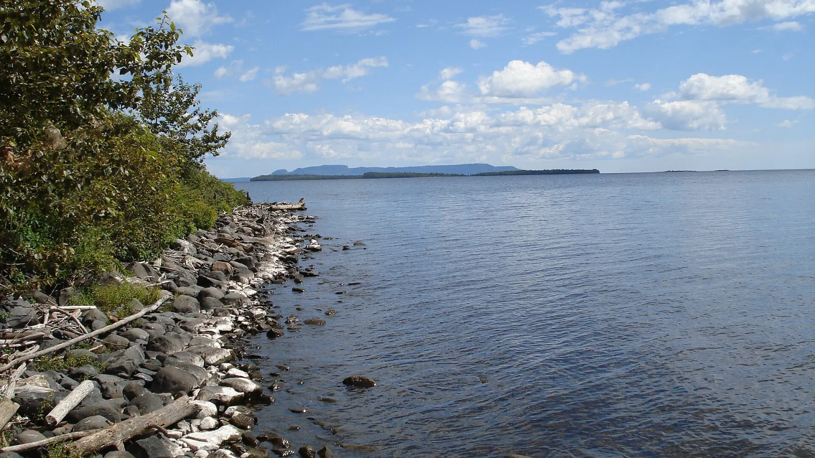
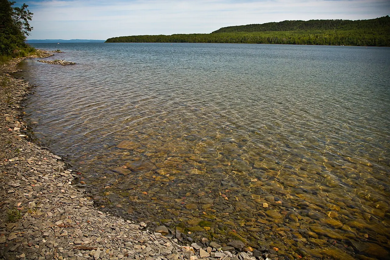
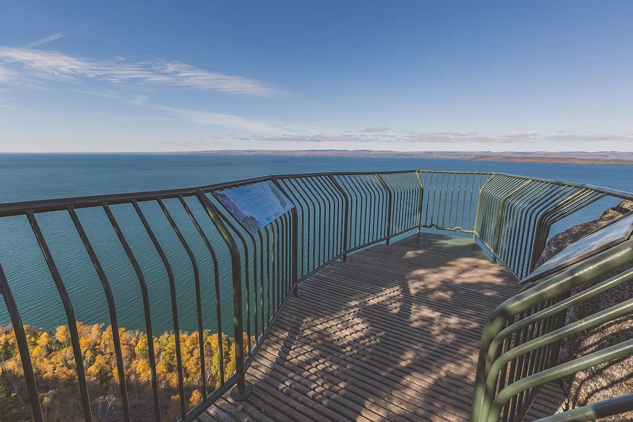
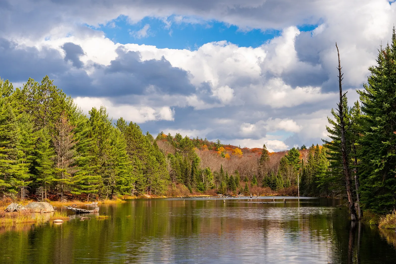
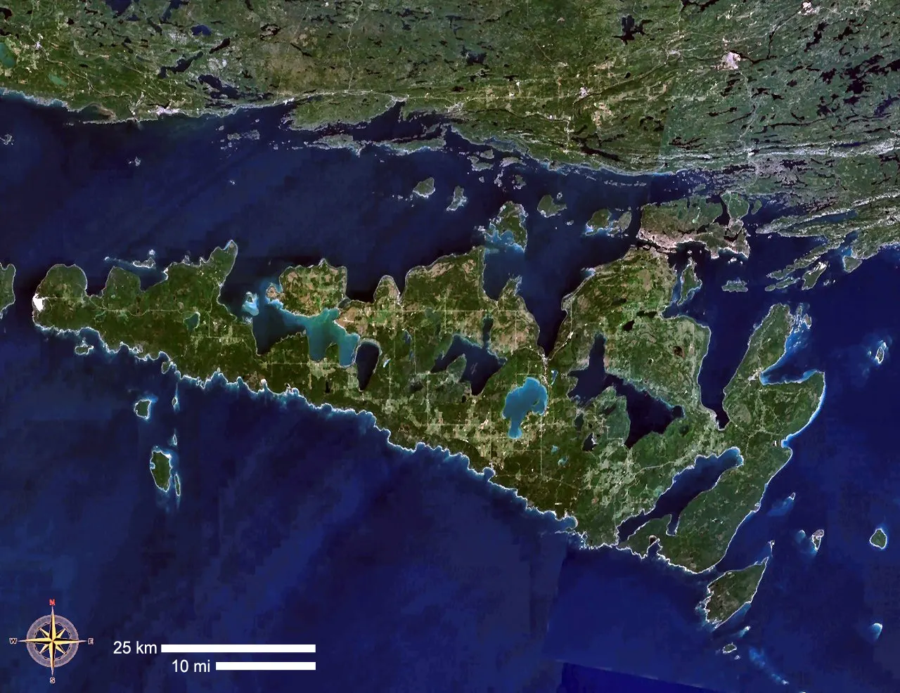
Sleeping Giant Provincial Park, Ontario, Canada Sleeping Giant Provincial Park covers most of the Sibley Peninsula on Lake Superior, Ontario The Sleeping Giant formation has some of the highest cliffs in Ontario, Sleeping Giant Provincial Park, Ontario The Top of the Giant trail leads to a lookout over Tee Harbour and Lake Superior, Sleeping Giant Provincial Park, Ontario Marie Louise Lake is the park's main campground area, Sleeping Giant Provincial Park, Ontario

About Sleeping Giant Provincial Park

Across the water from Thunder Bay, a long peninsula pushes into Lake Superior, and most of it belongs to this provincial park. Seen from the city across the water, its long mesa-like ridge resembles a figure lying on its back, a shape tied to the Ojibwe story of Nanabijou. Boreal forest, inland lakes and some of the tallest cliffs in Ontario make up the terrain.

Hiking is the main draw. The climb to the Top of the Giant is a long, demanding day, rewarded by sheer drops and wide views over Superior and its islands. The Kabeyun Trail traces the shoreline beneath the cliffs, passing coves and pebble beaches, while the campground on Marie Louise Lake makes a comfortable base for shorter walks, paddling and wildlife sightings. At the peninsula's tip, Silver Islet recalls a short-lived silver boom, and volunteers at Thunder Cape Bird Observatory track migrating birds each spring and fall.

The park suits hikers and campers who are happy with long trail days and changeable lake weather. Thunder Bay offers easy side trips: Kakabeka Falls on the Kaministiquia River, the deep chasm of Ouimet Canyon, the reconstructed fur-trade post at Fort William Historical Park and the Terry Fox Scenic Lookout. Summer and early fall bring the most reliable hiking conditions.

Best seasonJuly to September offers snow-free trails, warmer water and the longest days on Lake Superior.
Ideal stayTwo to three days allows the Top of the Giant hike plus a lakeshore walk or paddle.
ArrivingTravelers fly into Thunder Bay, then drive east and south along Highway 587 onto the peninsula.
Sleeping Giant Provincial Park Ontario Top of the Giant HikeWiserMap travel guideSleeping Giant Provincial Park Ontario Top of the Giant HikeExplore Sleeping Giant Provincial Park near Thunder Bay: Top of the Giant, Silver Islet, Lake Superior views, Ouimet Canyon, Kakabeka Falls and when to go.Read the guide

Sleeping Giant Provincial Park Has So Much to Discover: 11 Highlights

Landmarks 1

The Sleeping Giant formation, Sleeping Giant Provincial Park, Ontario, Canada

The Sleeping Giant formation

The chain of mesas and cliffs on the Sibley Peninsula that looks like a giant lying on its back in Lake Superior, the park's names...

Hikes 3

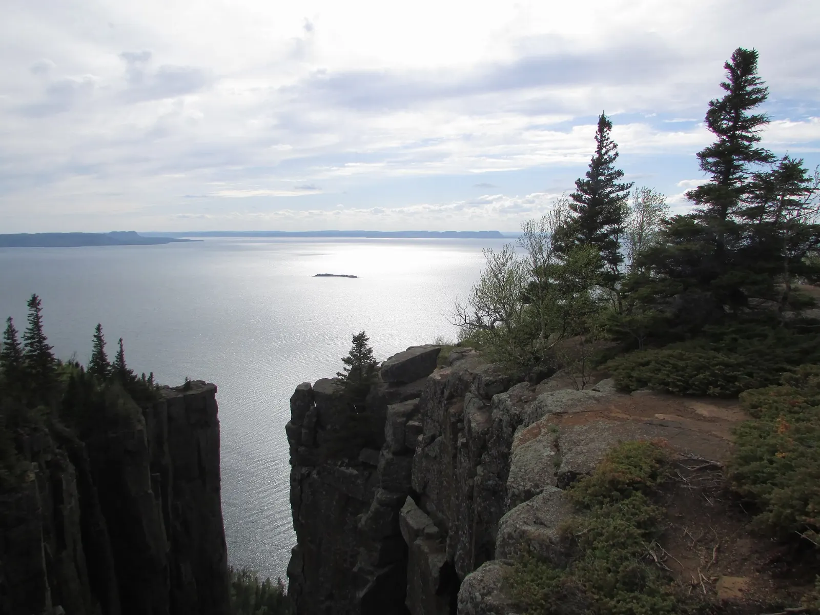
Top of the Giant, Sleeping Giant Provincial Park, Ontario, Canada

Top of the Giant

A strenuous trail that climbs to the top of the Giant's chest, ending at cliffs about 240 metres above Lake Superior with one of t...
Kabeyun Trail, Sleeping Giant Provincial Park, Ontario, Canada

Kabeyun Trail

The park's longest trail, running about 40 km along the Lake Superior shore from Thunder Cape to the south end of the peninsula. I...

Tee Harbour

A sheltered cove on the Kabeyun Trail at the foot of the Giant, with backcountry campsites and close views of the towering cliffs....

Nature 2

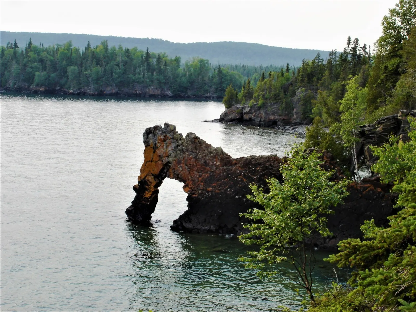
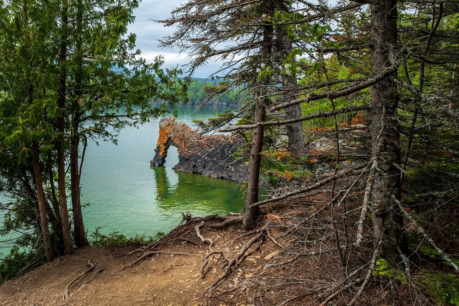
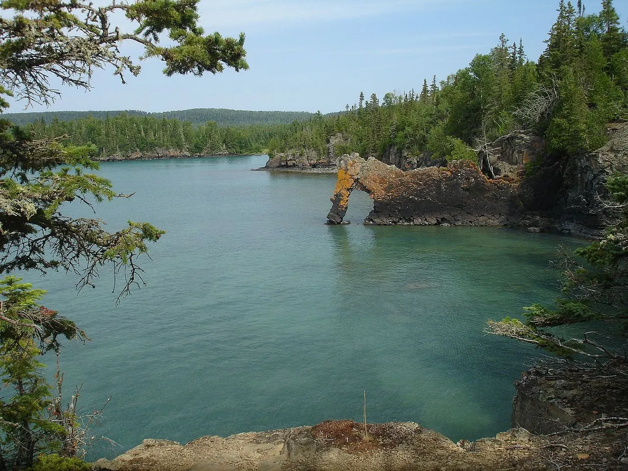
Sea Lion Sleeping Giant, Sleeping Giant Provincial Park, Ontario, Canada

Sea Lion Sleeping Giant

A rock arch of diabase on the shore near the start of the Kabeyun Trail that once looked like a sea lion before its head eroded aw...
Marie Louise Lake, Sleeping Giant Provincial Park, Ontario, Canada

Marie Louise Lake

The large inland lake at the centre of the park, ringed by the main campground, a beach, picnic areas and the visitor centre. A lo...

Beaches 2

Middlebrun Bay

A long sandy beach on Lake Superior reached by an easy trail of about 2.5 km each way from the Kabeyun area road. It is quiet, wit...
Sawyer Bay, Sleeping Giant Provincial Park, Ontario, Canada

Sawyer Bay

A quiet cobble and sand bay on the Kabeyun Trail below the western cliffs of the Giant, with backcountry campsites and a junction...

Viewpoints 1

Thunder Bay Lookout, Sleeping Giant Provincial Park, Ontario, Canada

Thunder Bay Lookout

A metal viewing platform that juts out over a cliff edge about 150 metres above Lake Superior, with views west to Thunder Bay and...

Wildlife 1

Thunder Cape Bird Observatory

A small research station at the tip of the Sibley Peninsula where volunteers band migrating birds in spring and fall. It lies at t...

Museums 1

Sleeping Giant Visitor Centre

The park's main visitor centre beside Marie Louise Lake, with exhibits on the geology, wildlife and Ojibwe stories of the Sibley P...

Reviews

No reviews yet. Been to Sleeping Giant Provincial Park? Be the first to share your experience.

Write a review

Share what you loved, what to skip and tips for other travelers.

Log in to write a review

Share your photos

Been to Sleeping Giant Provincial Park? Add your best shots to the gallery.

Log in to add photos

More places in Ontario

See all places in Canada →

Photo credits

Photo: Mhsheikholeslami, Wikimedia Commons, CC BY-SA 4.0

Photo: Mcdougallgregor, Wikimedia Commons, CC BY-SA 4.0

Photo: Ken Lund from Reno, Nevada, USA, Wikimedia Commons, CC BY-SA 2.0

Photo: Tariq Hossenbux, Wikimedia Commons, CC BY-SA 4.0

Photo: Robin Férand, Wikimedia Commons, CC BY 3.0

Photo: P199, Wikimedia Commons, CC BY-SA 3.0

Photo: Sharon Mollerus from Duluth, USA, Wikimedia Commons, CC BY 2.0

Photo: Axel Pettersson, Wikimedia Commons, CC BY-SA 4.0

Photo: No machine-readable author provided. Doug Coldwell assumed (based on copyright claims)., Wikimedia Commons, CC BY-SA 3.0

Photo: Guinevere Orvis, Wikimedia Commons, CC BY-SA 4.0

Photo: P199, Wikimedia Commons, CC BY-SA 3.0

Photo: D. Gordon E. Robertson, Wikimedia Commons, CC BY-SA 3.0

Photo: Ryan Hodnett, Wikimedia Commons, CC BY-SA 4.0

Photo: Milani94, Wikimedia Commons, CC BY-SA 4.0

Photo: 松林 L from Toronto, Canada, Wikimedia Commons, CC BY 2.0

Photo: Ryan Hodnett, Wikimedia Commons, CC BY-SA 4.0

Photo: Gary Todd from Xinzheng, China, Wikimedia Commons, CC0

Photo: Bob Wick; Bureau of Land Management, Wikimedia Commons, Public domain

Photo: Justin Meissen, Wikimedia Commons, CC BY-SA 2.0

Photo: Derek Hatfield from Peterborough, Canada, Wikimedia Commons, CC BY 2.0

Photo: David W Enstrom, Wikimedia Commons, CC BY-SA 4.0

Photo: Tony Webster from Portland, Oregon, Wikimedia Commons, CC BY-SA 2.0

Photo: Sharon Mollerus, Wikimedia Commons, CC BY 2.0

Photo: Sharon Mollerus, Wikimedia Commons, CC BY 2.0