WiserMap — Find local businesses. Choose wisely.Find local businesses. Choose wisely.Join free

Galiano Island

(1)Tap the heart
Island British Columbia, Canada
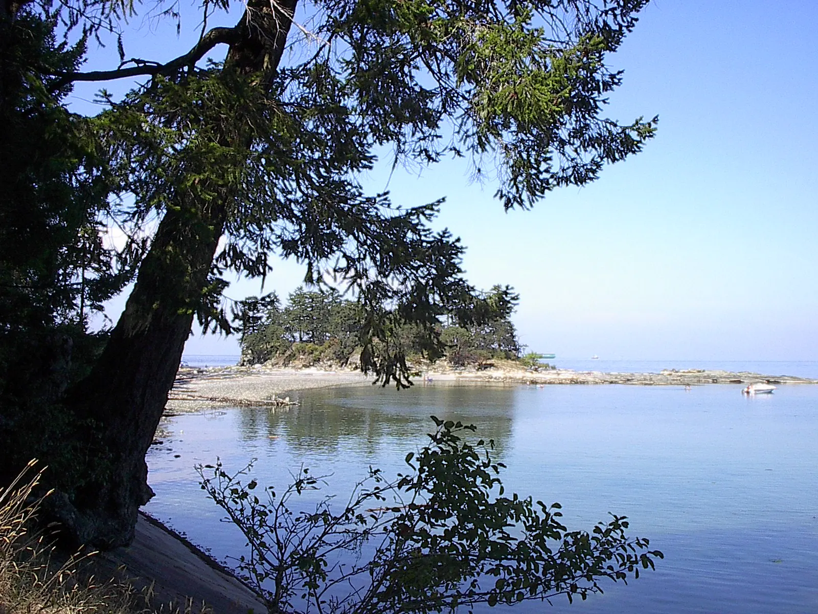
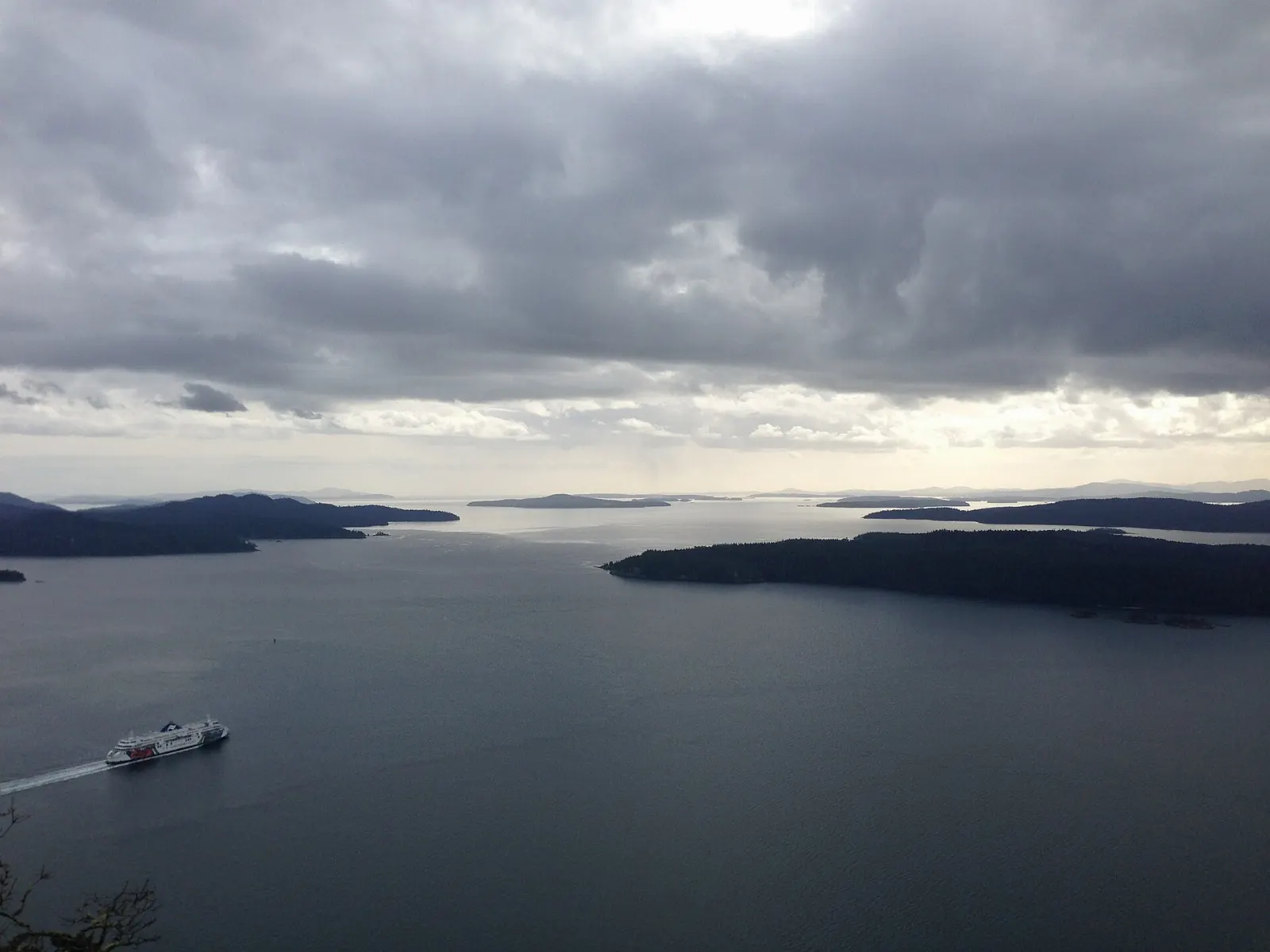
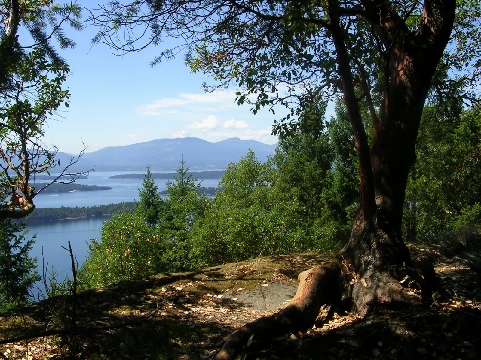
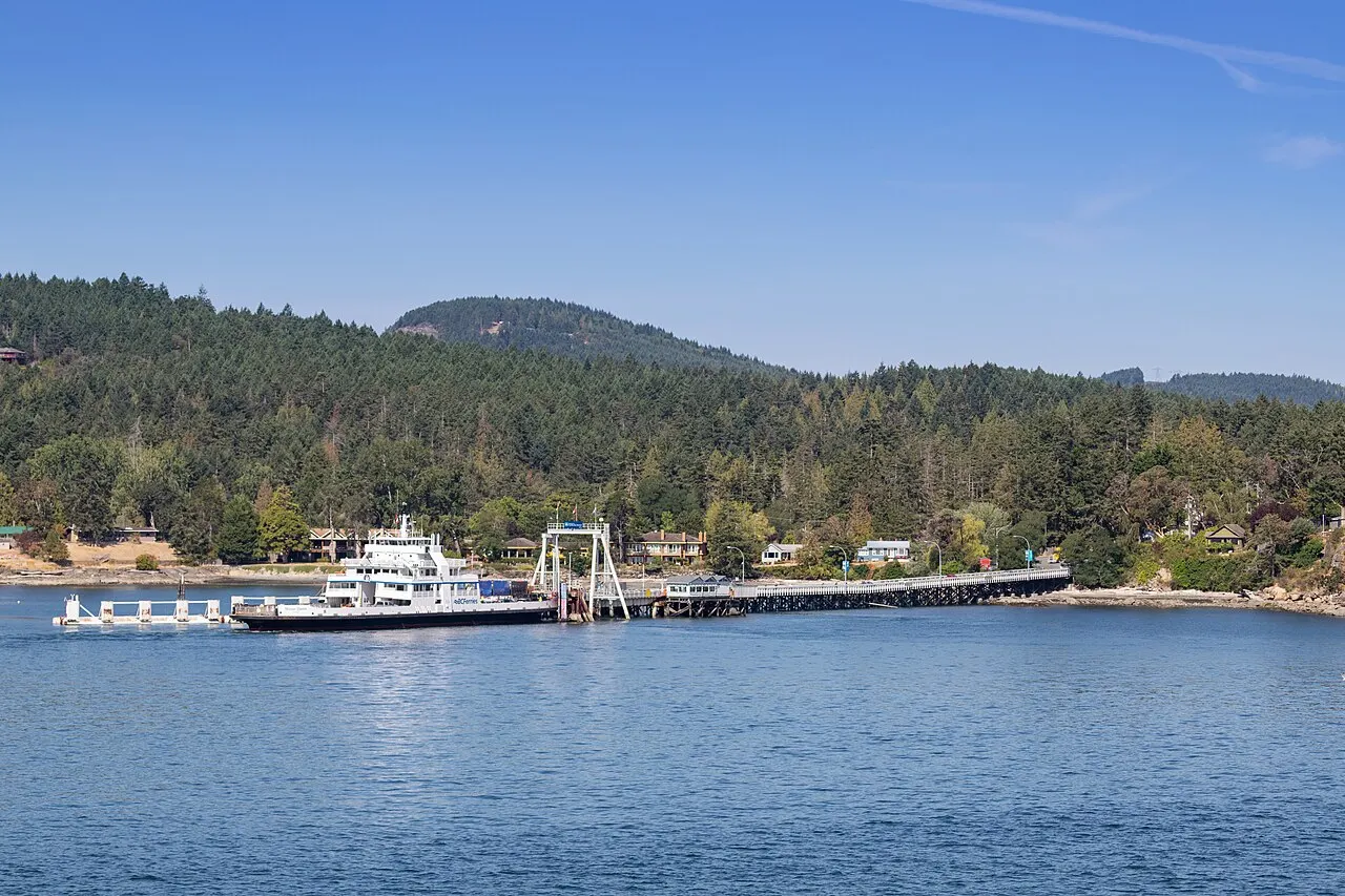
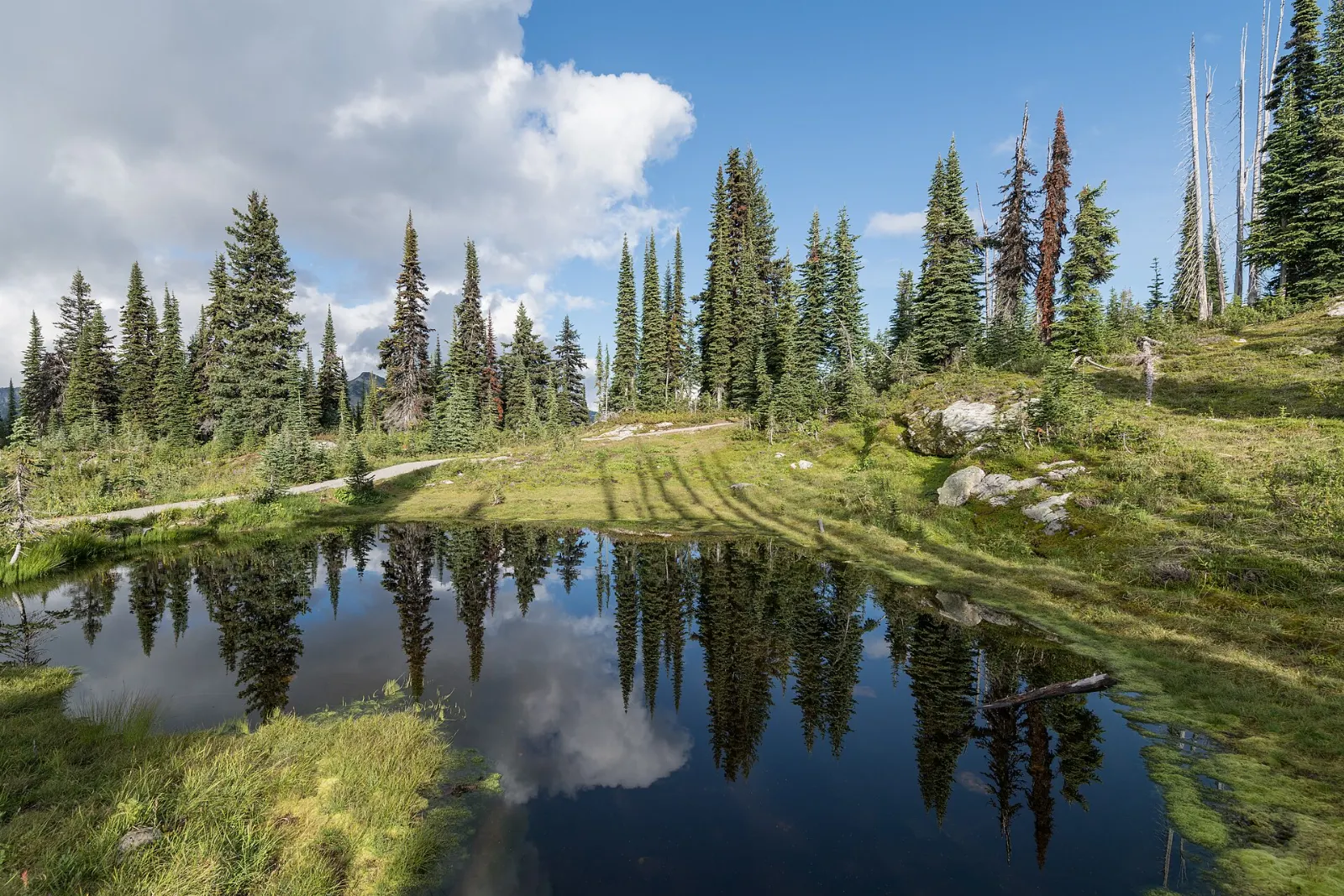
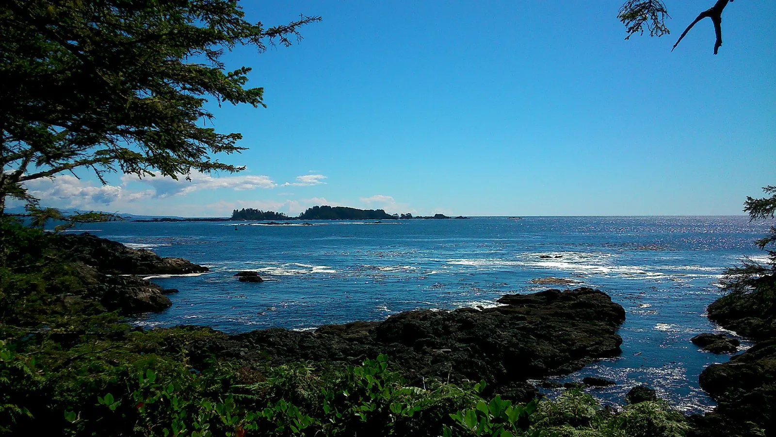
Galiano Island, British Columbia, Canada Montague Harbour Marine Provincial Park has trails and a shell beach, Galiano Island, British Columbia Dionisio Point Provincial Park is reached by boat or on foot, Galiano Island, British Columbia Mount Galiano rises about 314 meters above the sea, Galiano Island, British Columbia Bodega Ridge looks across the Gulf Islands, Galiano Island, British Columbia

About Galiano Island

Galiano Island is a long, narrow island in the Southern Gulf Islands of British Columbia, lying between the Strait of Georgia and Trincomali Channel. Ferries from the mainland and Vancouver Island land at Sturdies Bay on its south end, where most of the island's shops and services are found. It is named after the Spanish explorer Dionisio Alcalá Galiano, who sailed these waters in 1792.

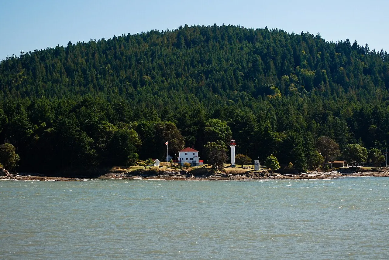
Much of the island remains forest and rocky shoreline. Bellhouse Provincial Park and the Bluffs look over Active Pass, where large ferries thread the narrow channel, while Mount Galiano and Bodega Ridge offer high views over the neighbouring islands. Montague Harbour on the west side has shell beaches, a campground and calm water for paddling, and Dionisio Point guards the remote north end.

Galiano suits hikers, campers, kayakers and anyone looking for a slower pace. Services are limited, so plan ahead, and reserve ferries in summer.

Best seasonLate spring through early fall for camping, paddling and dry hiking trails.
Ideal stayTwo to three days covers the parks, viewpoints and a kayak outing.
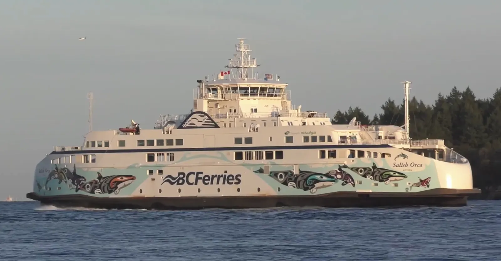
ArrivingBC Ferries sail to Sturdies Bay from Tsawwassen and Swartz Bay.

12 Unforgettable Things to Do in Galiano Island

South End and Active Pass 4

Sturdies Bay, Galiano Island, British Columbia, Canada

Sturdies Bay

Sturdies Bay is the small hub at the south end of Galiano Island where BC Ferries from Vancouver and Victoria dock, with a bakery,...
Active Pass Lookout, Galiano Island, British Columbia, Canada

Active Pass Lookout

Active Pass is the narrow, twisting channel between Galiano and Mayne islands used by the large BC Ferries between Vancouver and V...
Bellhouse Provincial Park, Galiano Island, British Columbia, Canada

Bellhouse Provincial Park

Bellhouse Provincial Park is a small park on a rocky point near Sturdies Bay, with mossy sandstone ledges, arbutus trees and views...
Mount Galiano, Galiano Island, British Columbia, Canada

Mount Galiano

Mount Galiano rises above the south end of the island, and a forest trail climbs steadily to open bluffs near the summit. From the...

West Coast Parks 4

Montague Harbour Marine Provincial Park, Galiano Island, British Columbia, Canada

Montague Harbour Marine Provincial Park

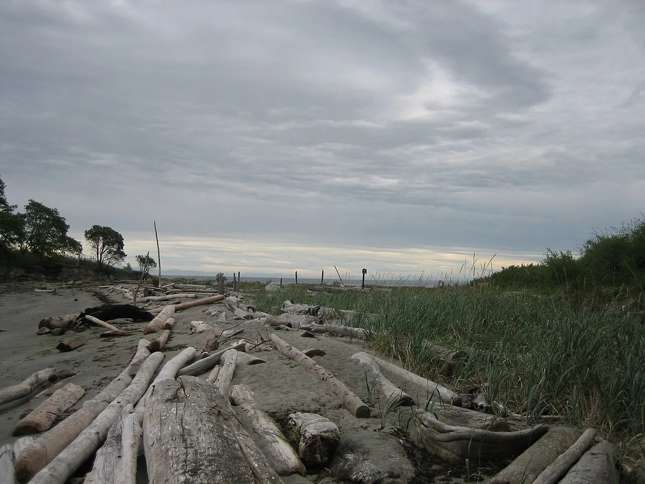
Montague Harbour Marine Provincial Park sits on a sheltered harbour on the west side of Galiano, with white shell beaches, forest...
Montague Harbour Shell Beach, Galiano Island, British Columbia, Canada

Montague Harbour Shell Beach

Shell Beach is the pale curving beach inside Montague Harbour Marine Provincial Park, made of crushed white shells built up over m...
Bodega Ridge, Galiano Island, British Columbia, Canada

Bodega Ridge

Bodega Ridge is a long ridge along the west side of Galiano Island, protected as a provincial park, with a trail along open bluffs...
Galiano Bluffs Park, Galiano Island, British Columbia, Canada

Galiano Bluffs Park

Galiano Bluffs Park sits on the high bluffs above Active Pass, near the south end of the island, with grassy openings among the tr...

North End and Beyond 4

Dionisio Point Provincial Park, Galiano Island, British Columbia, Canada

Dionisio Point Provincial Park

Dionisio Point Provincial Park lies at the north end of Galiano Island beside Porlier Pass, where strong currents run. It has sand...
Coon Bay, Galiano Island, British Columbia, Canada

Coon Bay

Coon Bay is a sheltered sandy cove inside Dionisio Point Provincial Park at the north end of Galiano Island, with clear shallow wa...
Galiano Island Beaches, Galiano Island, British Columbia, Canada

Galiano Island Beaches

Galiano Island's shoreline holds many small public beaches reached by short trails or road ends, from driftwood-strewn pebble shor...
Mayne Island, Galiano Island, British Columbia, Canada

Mayne Island

Mayne Island lies just across Active Pass from Galiano and is linked by BC Ferries, making it an easy day trip. It has quiet count...

Share your photos

Been to Galiano Island? Add your best shots to the gallery.

Log in to add photos

More places in British Columbia

See all places in Canada →

Photo credits

Photo: Gordon Leggett, Wikimedia Commons, CC BY-SA 4.0

Photo: Arrecifazo, Wikimedia Commons, CC BY-SA 3.0

Photo: Arrecifazo, Wikimedia Commons, CC BY-SA 3.0

Photo: Technocrat7, Wikimedia Commons, CC BY-SA 4.0

Photo: Clayoquot, Wikimedia Commons, CC BY-SA 3.0

Photo: James Denesuk, Wikimedia Commons, CC BY-SA 4.0

Photo: Arrecifazo, Wikimedia Commons, CC BY-SA 3.0

Photo: dronepicr, Wikimedia Commons, CC BY 2.0

Photo: Technocrat7, Wikimedia Commons, CC BY-SA 4.0

Photo: Technocrat7, Wikimedia Commons, CC BY-SA 4.0

Photo: Technocrat7, Wikimedia Commons, CC BY-SA 4.0

Photo: Arrecife, Wikimedia Commons, CC BY-SA 4.0

Photo: Technocrat7, Wikimedia Commons, CC BY-SA 4.0

Photo: Ymblanter, Wikimedia Commons, CC BY-SA 4.0

Photo: Precise-opera, Wikimedia Commons, CC BY-SA 4.0

Photo: DXR, Wikimedia Commons, CC BY-SA 4.0

Photo: MartialArtsNomad.com, Wikimedia Commons, CC BY 2.0

Photo: Arrecifazo, Wikimedia Commons, CC BY-SA 3.0

Photo: Laurie MacBride, Wikimedia Commons, CC BY-SA 4.0

Photo: dronepicr, Wikimedia Commons, CC BY 2.0

Photo: dronepicr, Wikimedia Commons, CC BY 2.0

Photo: Ymblanter, Wikimedia Commons, CC BY-SA 4.0

Photo: Ymblanter, Wikimedia Commons, CC BY-SA 4.0

Photo: Ymblanter, Wikimedia Commons, CC BY-SA 4.0

Photo: Arrecifazo, Wikimedia Commons, CC BY-SA 4.0

Photo: Arrecifazo, Wikimedia Commons, CC BY-SA 4.0

Photo: Arrecifazo, Wikimedia Commons, CC BY-SA 4.0

Photo: Davidwegan, Wikimedia Commons, CC BY-SA 4.0

Photo: AB87, Wikimedia Commons, CC BY 3.0

Photo: AB87, Wikimedia Commons, CC BY 3.0

Photo: No machine-readable author provided. Clayoquot assumed (based on copyright claim, Wikimedia Commons, CC BY-SA 3.0

Photo: Arrecifazo, Wikimedia Commons, CC BY-SA 3.0

Photo: Arrecifazo, Wikimedia Commons, CC BY-SA 3.0

Photo: Arrecifazo, Wikimedia Commons, CC BY-SA 3.0

Photo: Arrecifazo, Wikimedia Commons, CC BY-SA 3.0

Photo: David Stanley from Nanaimo, Canada, Wikimedia Commons, CC BY 2.0
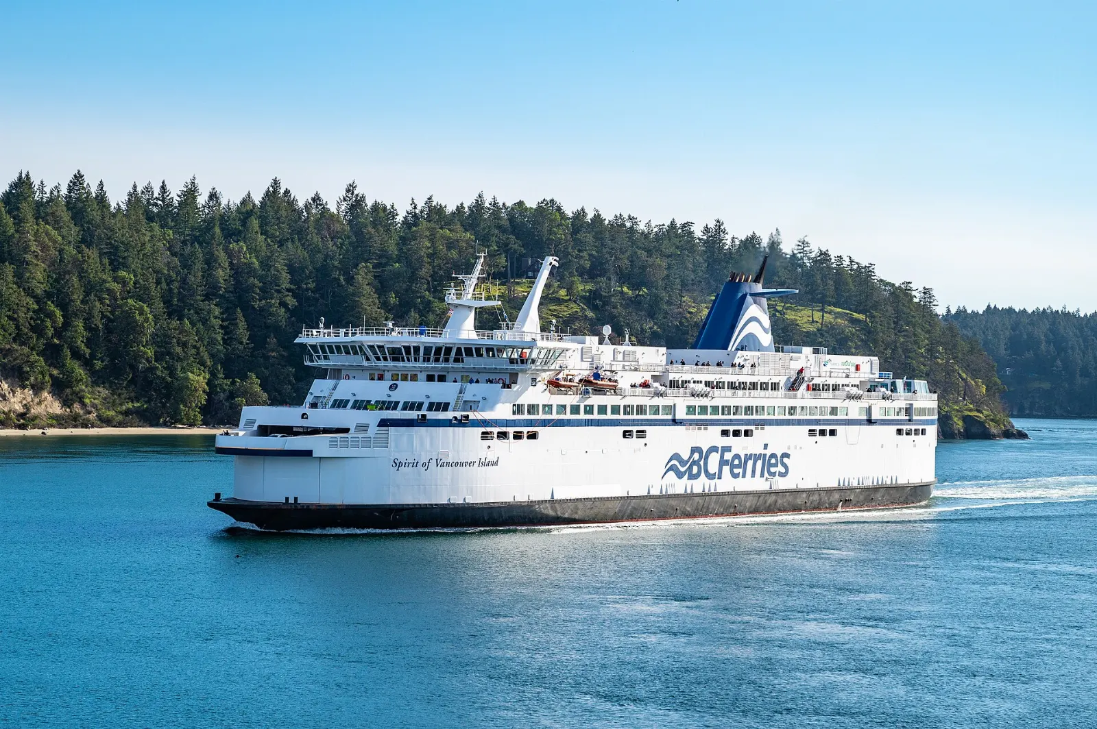
Photo: Ruth Hartnup, Wikimedia Commons, CC BY 2.0

Photo: AB87, Wikimedia Commons, CC BY 3.0

Photo: David Stanley from Nanaimo, Canada, Wikimedia Commons, CC BY 2.0
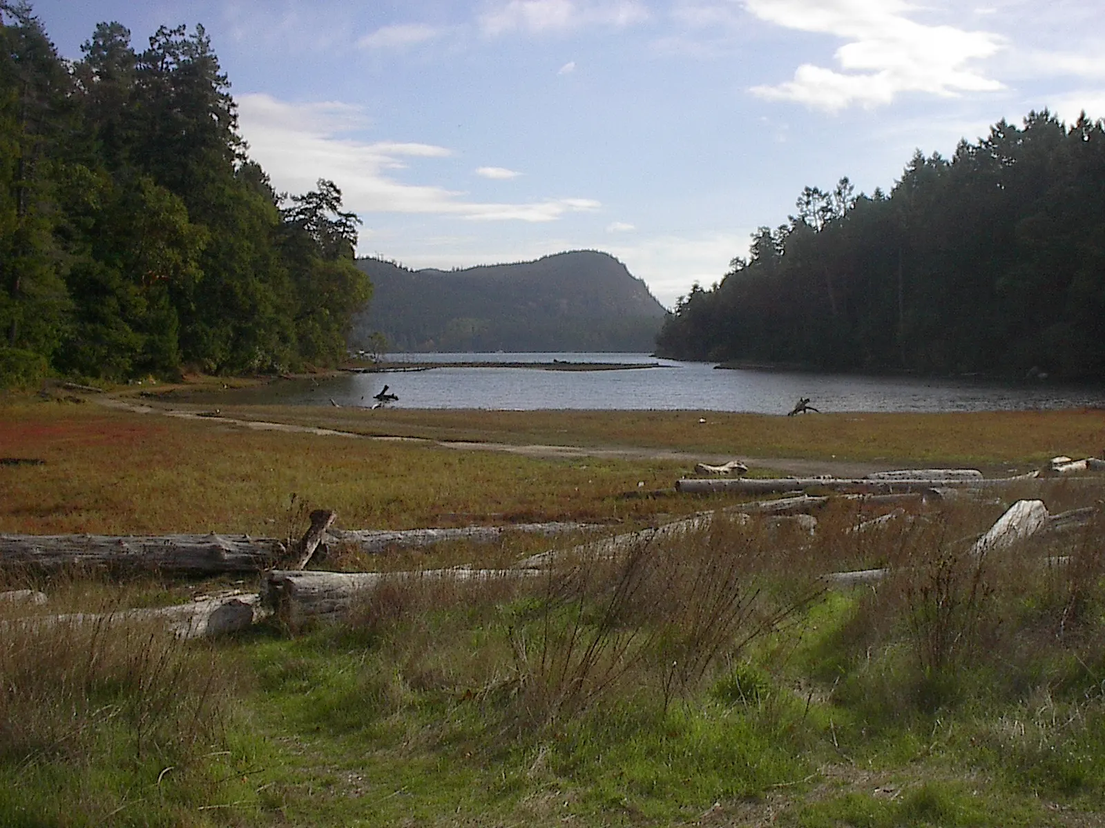
Photo: Arrecifazo, Wikimedia Commons, CC BY-SA 4.0

Photo: Arrecifazo, Wikimedia Commons, CC BY-SA 4.0

Photo: Arrecifazo, Wikimedia Commons, CC BY-SA 4.0

Photo: Arrecifazo, Wikimedia Commons, CC BY-SA 4.0

Photo: Davidwegan, Wikimedia Commons, CC BY-SA 4.0

Photo: Jennifer C., Wikimedia Commons, CC BY 2.0
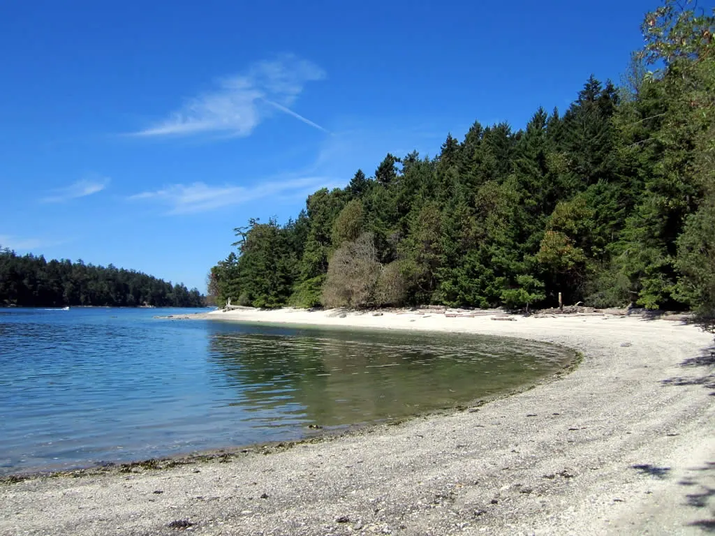
Photo: Jennifer C., Wikimedia Commons, CC BY 2.0
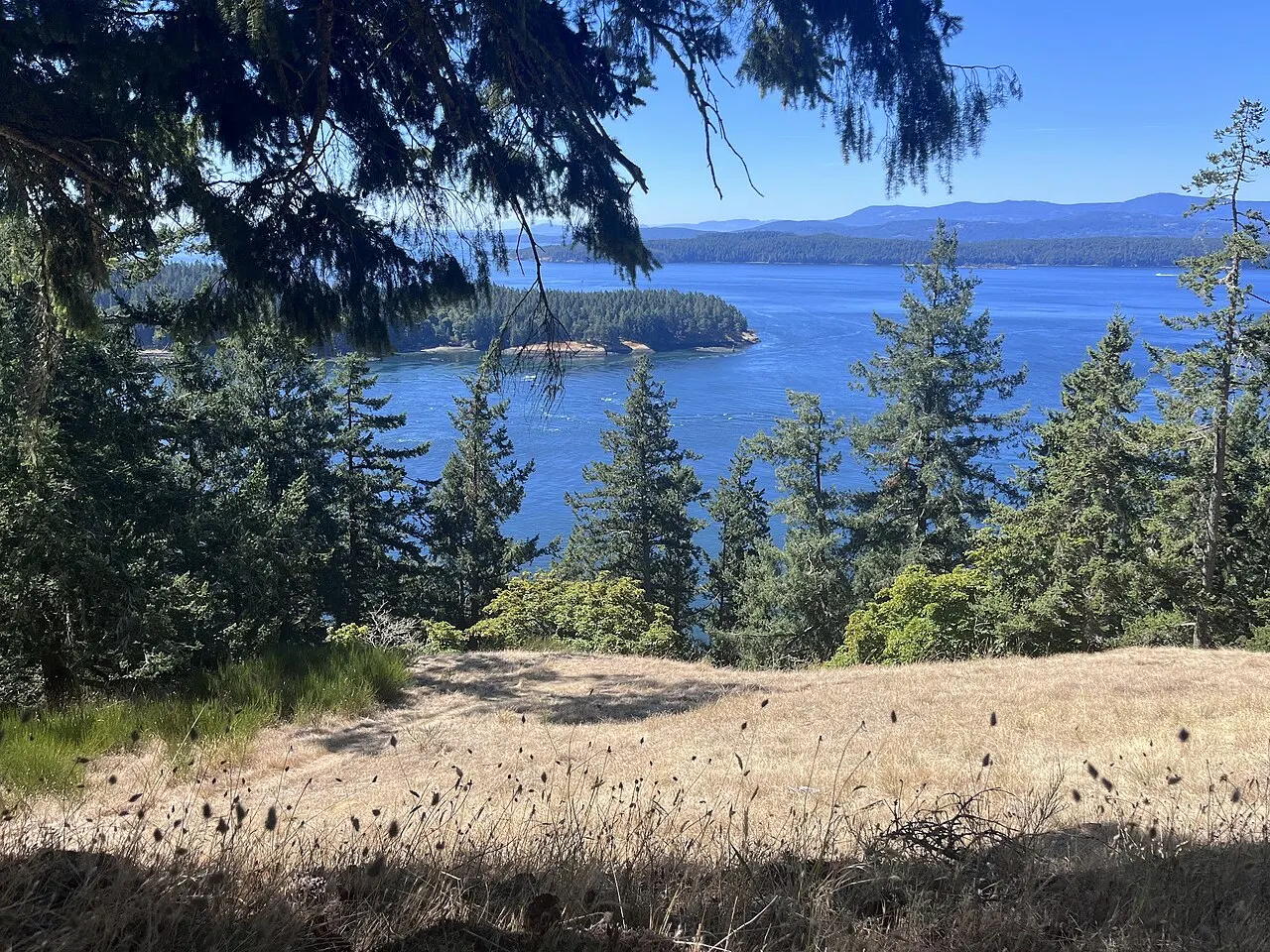
Photo: Jennifer C., Wikimedia Commons, CC BY 2.0
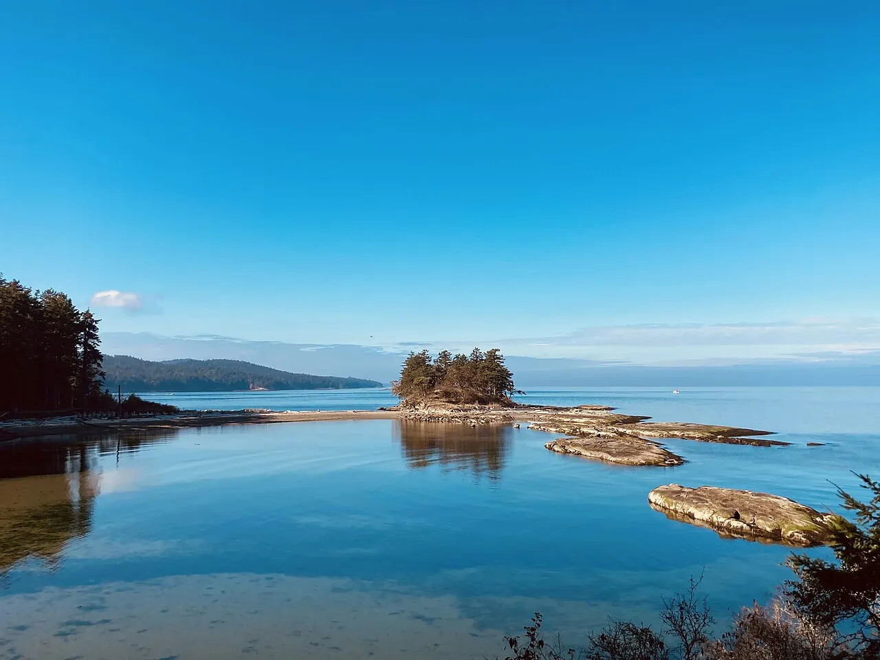
Photo: stevevoght, Wikimedia Commons, CC BY-SA 2.0

Photo: Christine Rondeau from Vancouver, Canada, Wikimedia Commons, CC BY 2.0