WiserMap — Choose wisely. Connect locally.Choose wisely. Connect locally.Add your business

Rocky Mountain National Park

No reviews yetNational park Colorado, United States
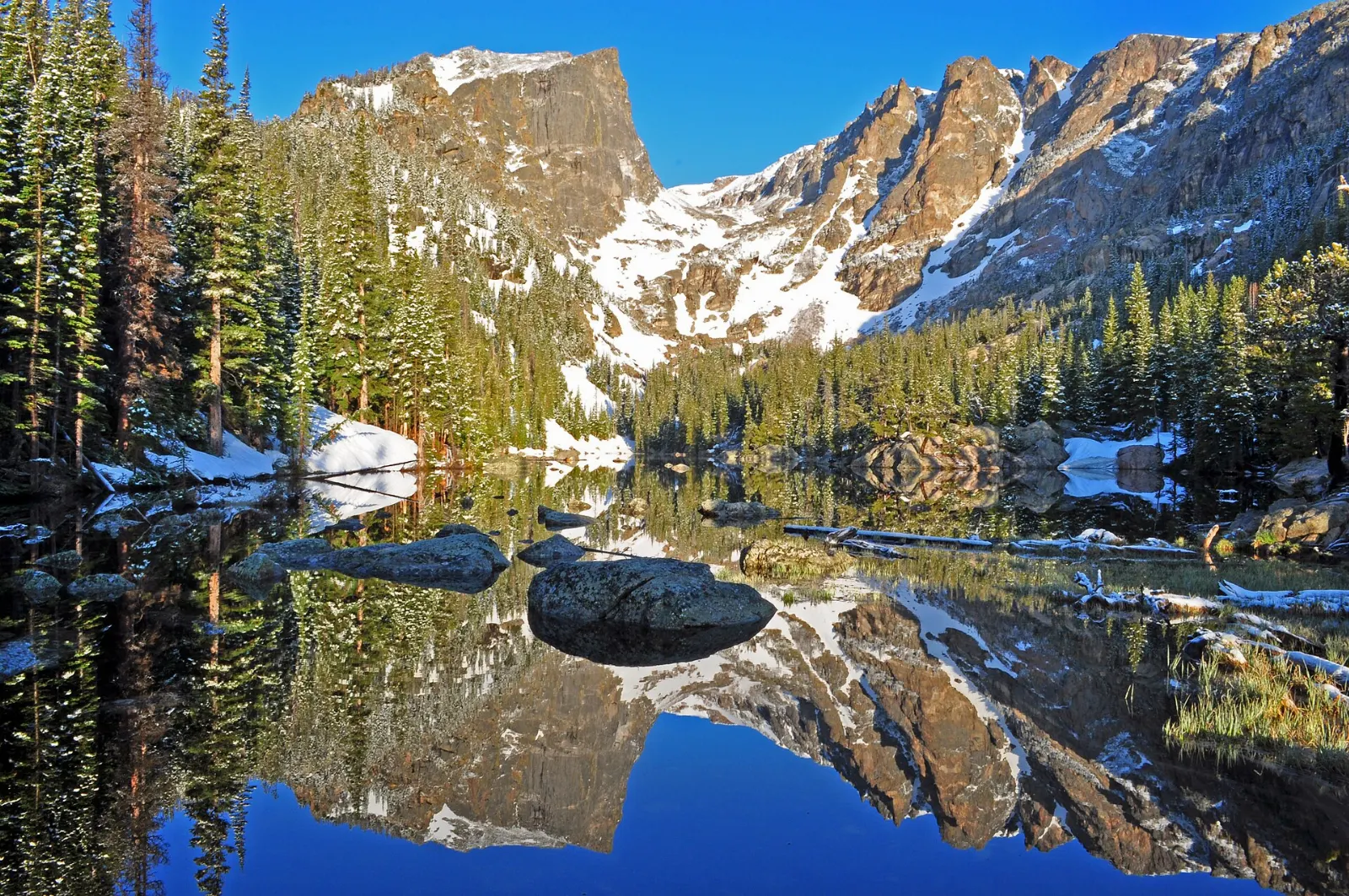
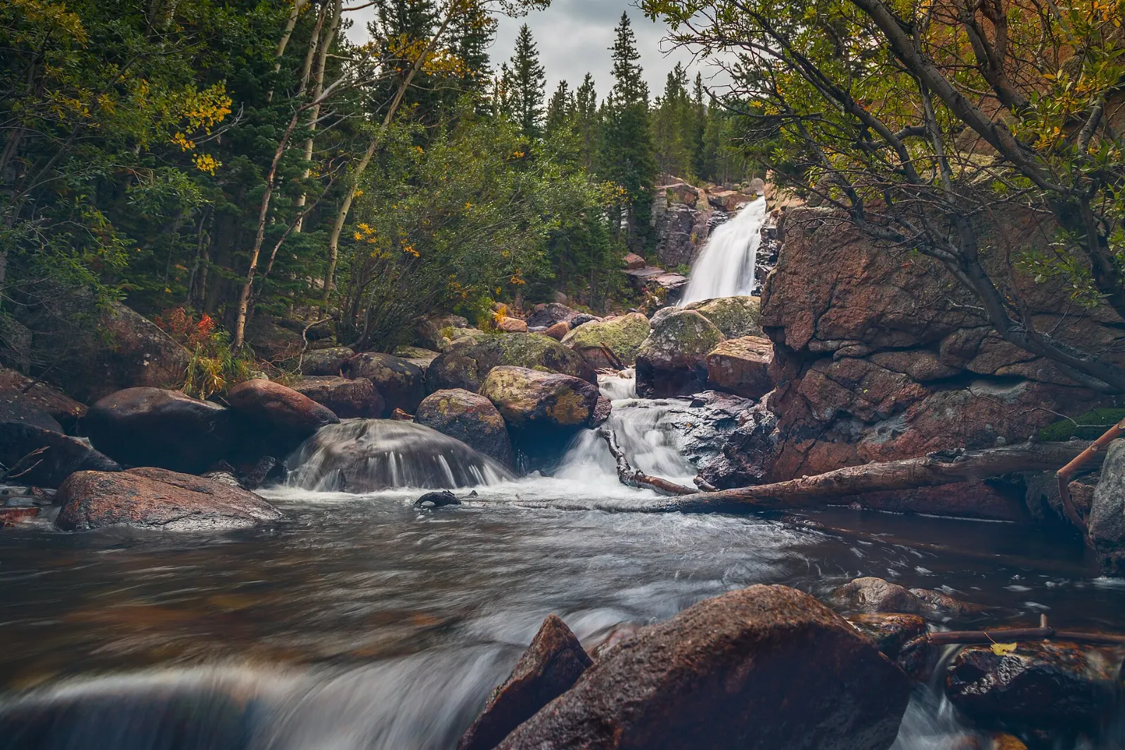
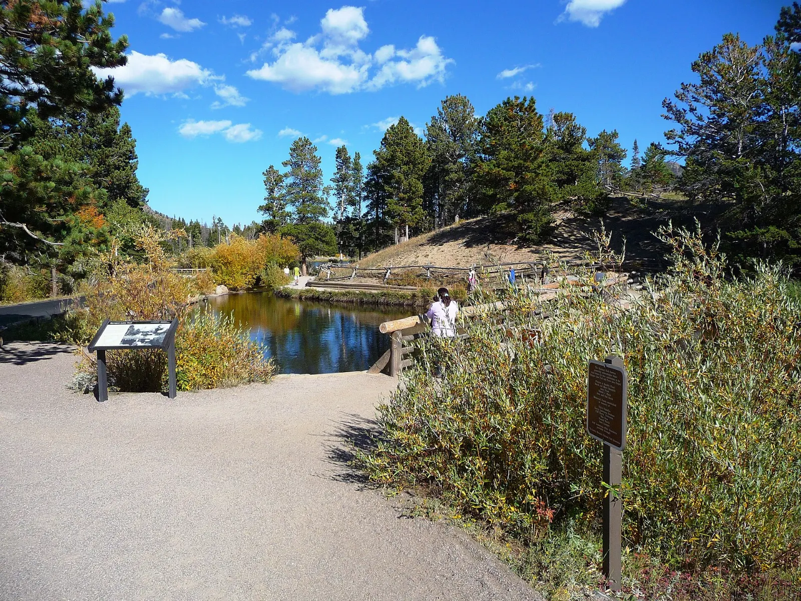
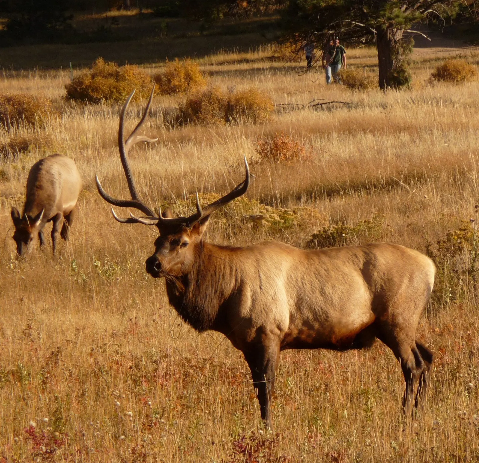
Rocky Mountain National Park, Colorado, United StatesDream Lake lies below Hallett Peak on the trail from Bear Lake to Emerald Lake, Rocky Mountain National Park, ColoradoAlberta Falls tumbles down Glacier Creek along a popular trail from the Glacier Gorge Trailhead, Rocky Mountain National Park, ColoradoSprague Lake offers views of the Continental Divide along an easy, accessible trail, Rocky Mountain National Park, ColoradoMoraine Park is one of the best places in the park to see elk, especially in autumn, Rocky Mountain National Park, Colorado

About Rocky Mountain National Park

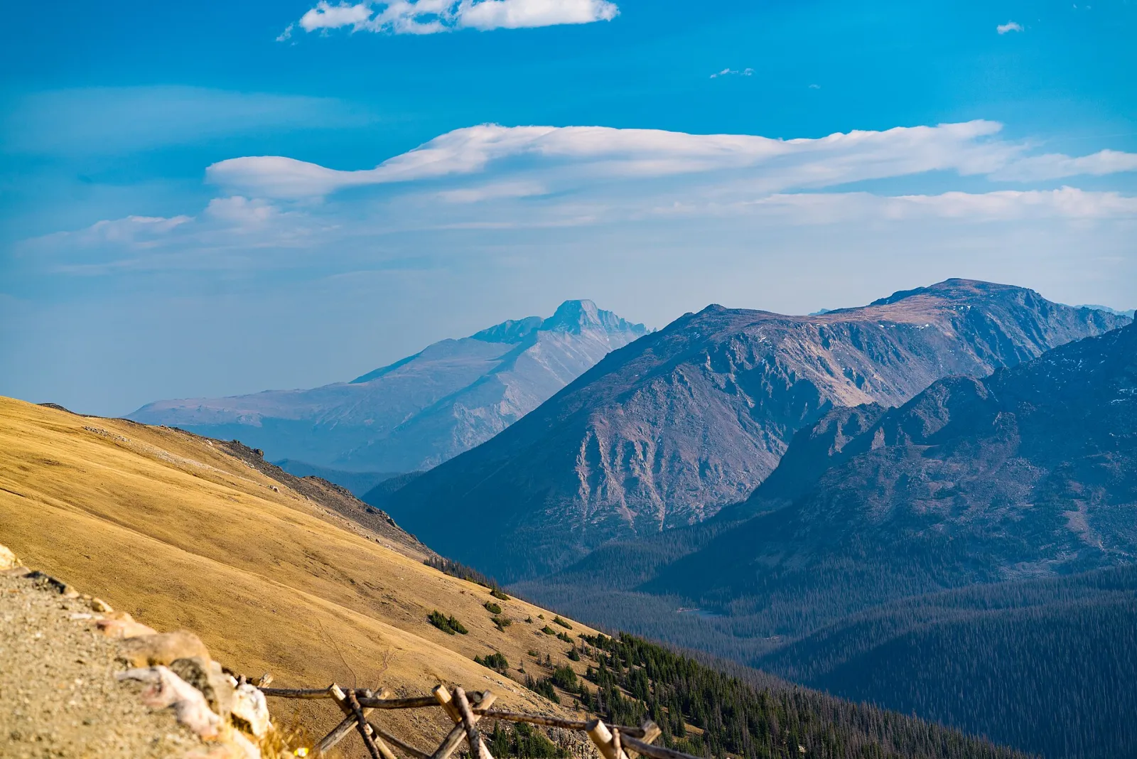
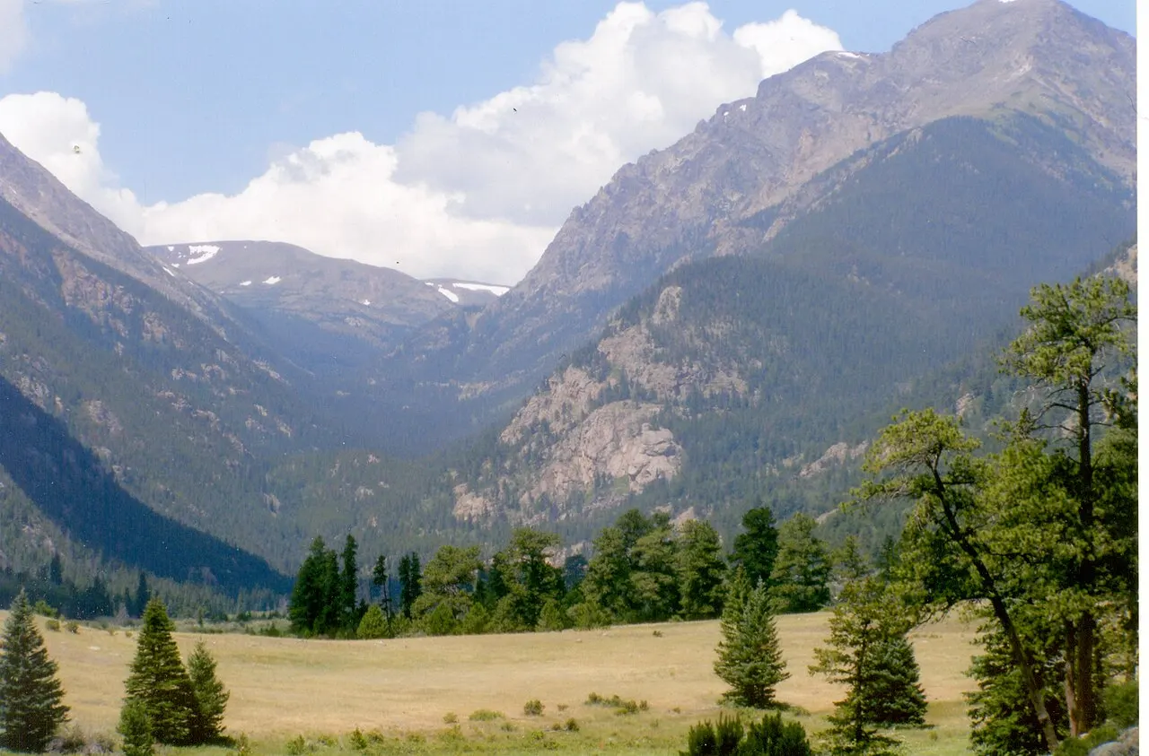
Rocky Mountain National Park protects a dramatic section of the Front Range in northern Colorado, where glacier-carved valleys climb to alpine tundra and peaks above 12,000 feet. The Continental Divide runs through the park, separating the drier eastern slopes from the forests and meadows of the Kawuneeche Valley to the west. Elk, bighorn sheep and marmots are common sights.

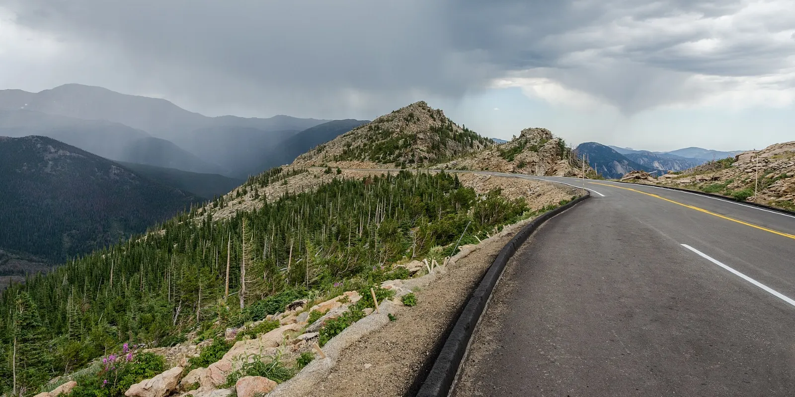
Bear Lake is the hub for many of the most popular hikes, including the chain of Nymph, Dream and Emerald Lakes, each tucked progressively higher beneath steep cliffs. Alberta Falls is an easy walk from the Glacier Gorge trailhead, which continues to more remote lakes. Sprague Lake has a flat loop with mountain reflections. In the open meadows of Moraine Park and Horseshoe Park, elk gather in fall, and bighorn sheep visit the mineral licks at Sheep Lakes. Trail Ridge Road, one of the highest continuous paved roads in the country, crosses the tundra with a string of overlooks and the Alpine Visitor Center near its high point.

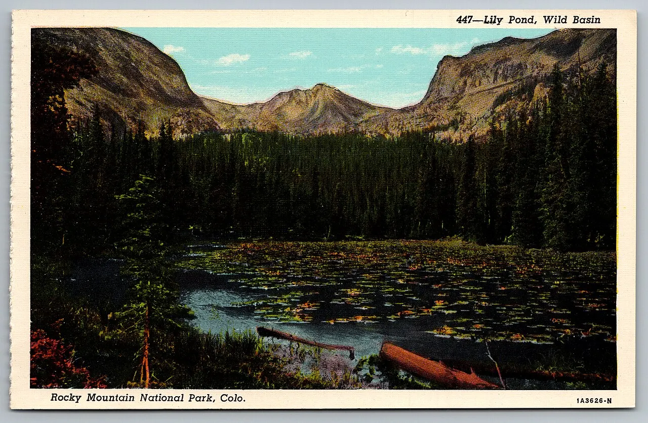
The park suits hikers, wildlife watchers and road-trippers alike. Estes Park is the busy eastern gateway, and Grand Lake serves the quieter west side. Wild Basin, in the southeast, offers waterfalls with fewer crowds. Timed-entry reservations are commonly required in the busy season, and Trail Ridge Road closes in winter.

Best seasonSummer opens Trail Ridge Road and the high trails, while September brings fall color and the elk rut.
Ideal stayThree days allows a Trail Ridge drive, a Bear Lake area hike and wildlife watching in the meadows.
ArrivingDenver International Airport is the usual gateway, followed by a drive of roughly two hours to Estes Park.
Rocky Mountain National Park Colorado Trail Ridge RoadWiserMap travel guideRocky Mountain National Park Colorado Trail Ridge RoadPlan a Rocky Mountain National Park trip: Trail Ridge Road, Bear Lake hikes, Moraine Park elk, Grand Lake, timed entry permits, the best seasons and where to st...Read the guide

Why People Love Rocky Mountain National Park: 12 Things to Discover

Nature 2

Bear Lake, Rocky Mountain National Park, Colorado, United States

Bear Lake

Subalpine lake at the end of Bear Lake Road, framed by Hallett Peak and the Continental Divide. A flat half-mile loop circles the...
Sprague Lake, Rocky Mountain National Park, Colorado, United States

Sprague Lake

Easy half-mile accessible loop around a small lake on Bear Lake Road with fine views of the Continental Divide peaks. Trout and du...

Hikes 3

Nymph, Dream and Emerald Lakes, Rocky Mountain National Park, Colorado, United States

Nymph, Dream and Emerald Lakes

Classic hike from Bear Lake that passes three lakes in under two miles, from lily-covered Nymph Lake to Dream Lake with Hallett Pe...
Alberta Falls and Glacier Gorge, Rocky Mountain National Park, Colorado, United States

Alberta Falls and Glacier Gorge

Alberta Falls is a 30-foot waterfall on Glacier Creek reached by a short walk of under a mile from the Glacier Gorge trailhead. Hi...
Wild Basin, Rocky Mountain National Park, Colorado, United States

Wild Basin

Quiet southeast corner of the park reached from Highway 7 near Allenspark, with forest trails along North St. Vrain Creek to Copel...

Wildlife 3

Moraine Park, Rocky Mountain National Park, Colorado, United States

Moraine Park

Wide valley meadow on the east side of the park where the Big Thompson River meanders through grassland. Elk gather here in large...
Horseshoe Park and Sheep Lakes, Rocky Mountain National Park, Colorado, United States

Horseshoe Park and Sheep Lakes

Mountain meadow near the Fall River entrance where bighorn sheep come down to the Sheep Lakes for minerals, mostly in May and June...
Kawuneeche Valley, Rocky Mountain National Park, Colorado, United States

Kawuneeche Valley

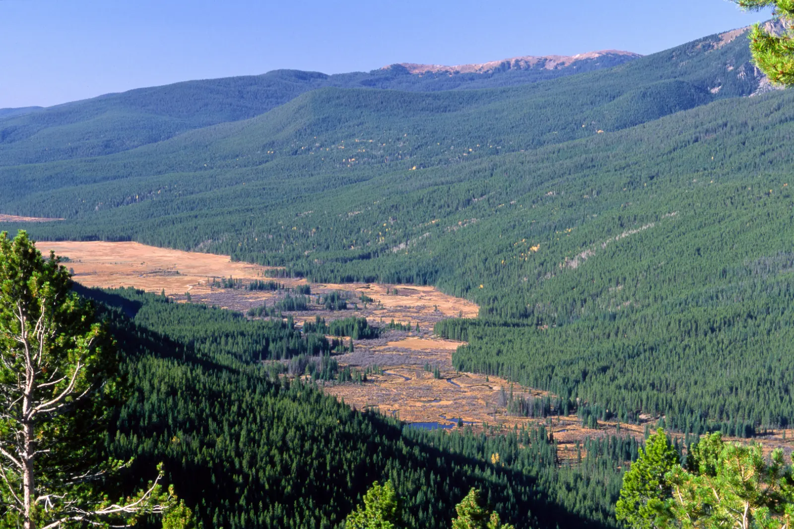
Broad valley on the park's west side where the Colorado River begins as a small stream. Moose are often seen in willow wetlands, a...

Scenic Drives 2

Trail Ridge Road overlooks, Rocky Mountain National Park, Colorado, United States

Trail Ridge Road overlooks

Trail Ridge Road crosses the park and climbs above 12,000 feet, the highest continuous paved road in the United States. Overlooks...
Old Fall River Road, Rocky Mountain National Park, Colorado, United States

Old Fall River Road

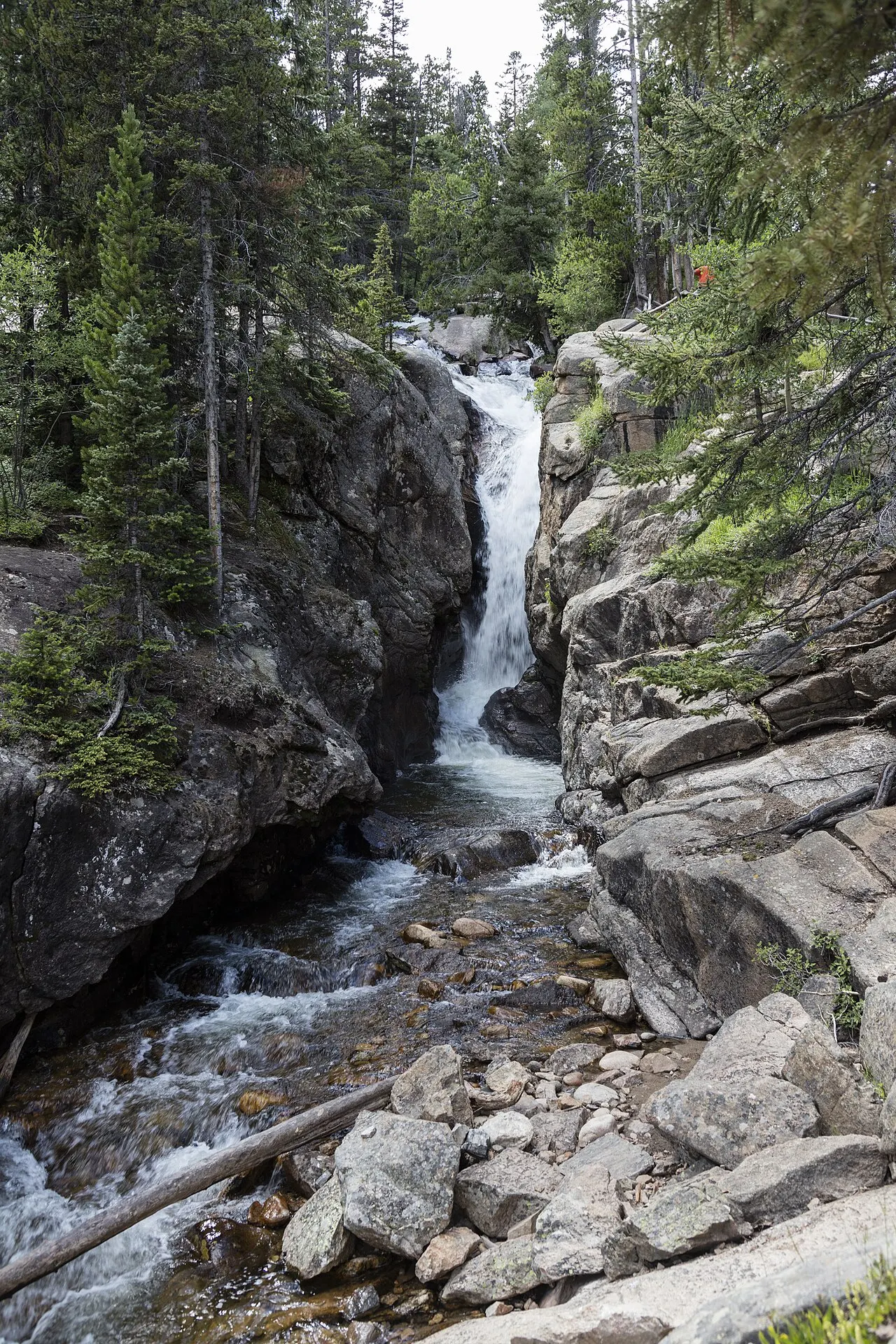
The park's first auto road, a one-way gravel route that climbs about nine miles from Endovalley past Chasm Falls to the Alpine Vis...

Landmarks 1

Alpine Visitor Center, Rocky Mountain National Park, Colorado, United States

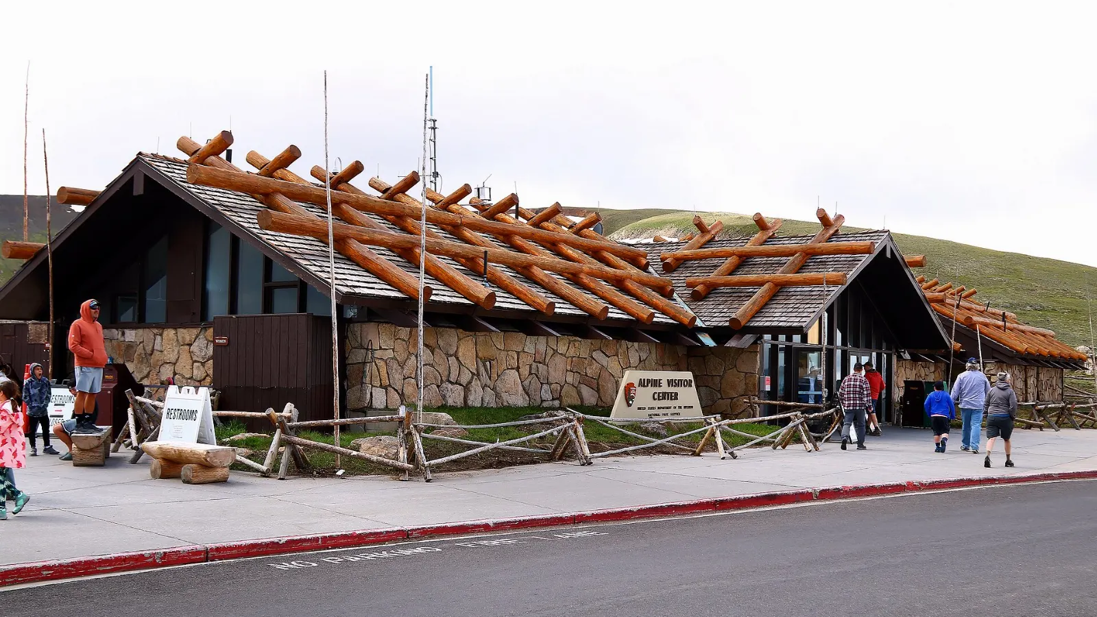
Alpine Visitor Center

Highest visitor center in the National Park Service at about 11,796 feet on Trail Ridge Road, with exhibits on tundra life, a gift...

Neighborhoods 1

Grand Lake, Rocky Mountain National Park, Colorado, United States

Grand Lake

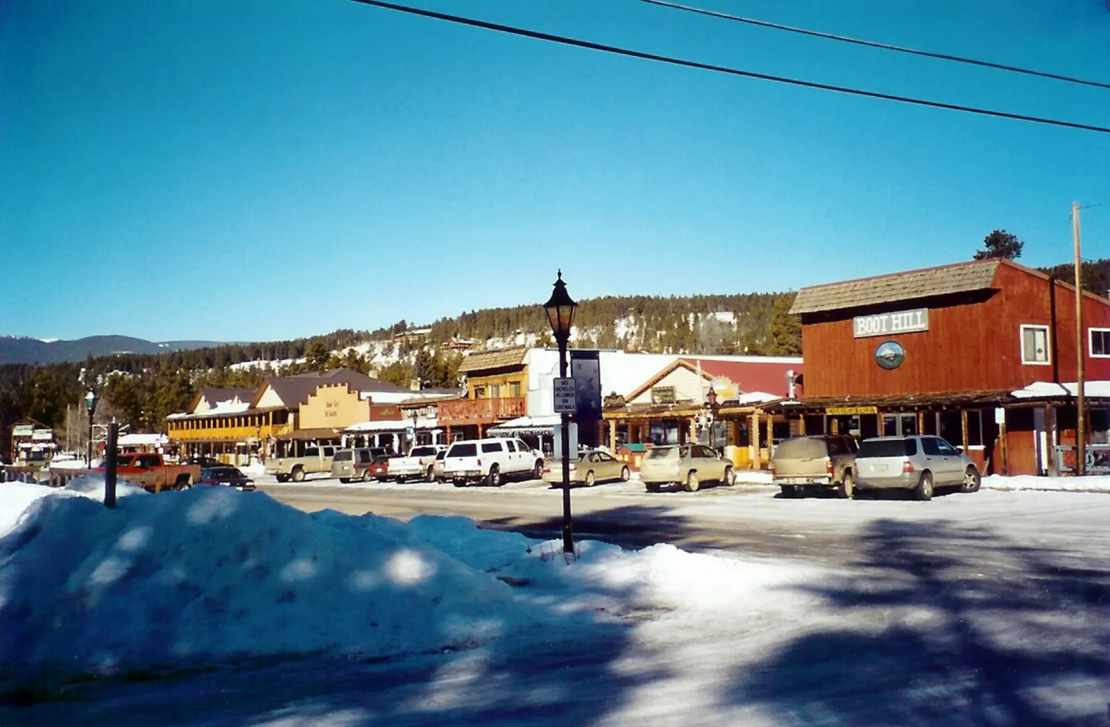
Small mountain town at the park's west entrance on the shore of Grand Lake, the largest natural lake in Colorado. Its wooden board...

Reviews

No reviews yet. Been to Rocky Mountain National Park? Be the first to share your experience.

Write a review

Share what you loved, what to skip and tips for other travelers.

Log in to write a review

Share your photos

Been to Rocky Mountain National Park? Add your best shots to the gallery.

Log in to add photos

More places in Colorado

See all places in United States →

Photo credits

Photo: OKJaguar, Wikimedia Commons, CC BY-SA 4.0

Photo: NPS Photo, Wikimedia Commons, Public domain

Photo: Christian Collins, Wikimedia Commons, CC BY-SA 2.0

Photo: Daniel Mayer (Mav), Wikimedia Commons, CC BY-SA 3.0

Photo: Daniel Mayer (Mav), Wikimedia Commons, CC BY-SA 3.0

Photo: DXR, Wikimedia Commons, CC BY-SA 4.0

Photo: Larry D. Moore, Wikimedia Commons, CC BY 4.0

Photo: Dariusz Kowalczyk, Wikimedia Commons, CC BY-SA 3.0

Photo: Unknown author, Wikimedia Commons, Public domain

Photo: Renjishino, Wikimedia Commons, CC BY 3.0

Photo: Daniel Mayer (Mav), Wikimedia Commons, CC BY-SA 3.0

Photo: Daniel Mayer (Mav), Wikimedia Commons, CC BY-SA 3.0

Photo: Daniel Mayer (Mav), Wikimedia Commons, CC BY-SA 3.0

Photo: Nikater, Wikimedia Commons, Public domain

Photo: Greg Tally - User: (WT-shared) WineCountryInn at wts wikivoyage, Wikimedia Commons, CC BY-SA 3.0

Photo: JERRYE AND ROY KLOTZ MD, Wikimedia Commons, CC BY-SA 3.0

Photo: Dough4872, Wikimedia Commons, CC BY-SA 4.0

Photo: KimonBerlin, Wikimedia Commons, CC BY-SA 2.0

Photo: Nan Palmero from San Antonio, TX, USA, Wikimedia Commons, CC BY 2.0

Photo: Hogs555, Wikimedia Commons, CC BY-SA 3.0

Photo: Daniel Mayer (Mav), Wikimedia Commons, CC BY-SA 3.0

Photo: Untitled.docx, Wikimedia Commons, CC BY-SA 4.0

Photo: JERRYE AND ROY KLOTZ MD, Wikimedia Commons, CC BY-SA 3.0

Photo: InSapphoWeTrust from Los Angeles, California, USA, Wikimedia Commons, CC BY-SA 2.0

Photo: Daniel Mayer (Mav), Wikimedia Commons, CC BY-SA 3.0

Photo: Daniel Mayer (Mav), Wikimedia Commons, CC BY-SA 3.0

Photo: Daniel Mayer (Mav), Wikimedia Commons, CC BY-SA 3.0

Photo: NPS Natural Resources, Wikimedia Commons, Public domain

Photo: Gorgo, Wikimedia Commons, Public domain

Photo: Frank Schulenburg, Wikimedia Commons, CC BY-SA 4.0

Photo: Charles J. Sharp, Wikimedia Commons, CC BY-SA 4.0

Photo: Mike Goad, Wikimedia Commons, CC0

Photo: Chris Light, Wikimedia Commons, CC BY-SA 4.0

Photo: Sanborn Souvenir Co., Wikimedia Commons, Public domain

Photo: Mycatisnamedlunameowmeowmeow, Wikimedia Commons, CC BY-SA 4.0

Photo: NASA Earth Observatory images by Wanmei Liang, using Landsat data from the U.S. , Wikimedia Commons, Public domain

Photo: Larry D. Moore, Wikimedia Commons, CC BY 4.0

Photo: scott1346 from Mechanicsville, MD, USA, Wikimedia Commons, CC BY 2.0

Photo: Brian Zinnel, Wikimedia Commons, CC BY-SA 4.0

Photo: Anne Dirkse, Wikimedia Commons, CC BY-SA 4.0

Photo: Unknown authorUnknown author or not provided, Wikimedia Commons, Public domain

Photo: NPS Photo, Wikimedia Commons, Public domain

Photo: Carol M. Highsmith, Wikimedia Commons, Public domain

Photo: Sarbjit Bahga, Wikimedia Commons, CC BY-SA 4.0

Photo: Sarbjit Bahga, Wikimedia Commons, CC BY-SA 4.0

Photo: inkknife_2000 (7.5 million views +), Wikimedia Commons, CC BY-SA 2.0

Photo: Sarbjit Bahga, Wikimedia Commons, CC BY-SA 4.0

Photo: Dariusz Kowalczyk, Wikimedia Commons, CC BY-SA 3.0

Photo: KimonBerlin, Wikimedia Commons, CC BY-SA 2.0

Photo: KimonBerlin, Wikimedia Commons, CC BY-SA 2.0

Photo: KimonBerlin, Wikimedia Commons, CC BY-SA 2.0

Photo: mark byzewski, Wikimedia Commons, CC BY 2.0

Photo: mark byzewski, Wikimedia Commons, CC BY 2.0

Photo: mark byzewski, Wikimedia Commons, CC BY 2.0
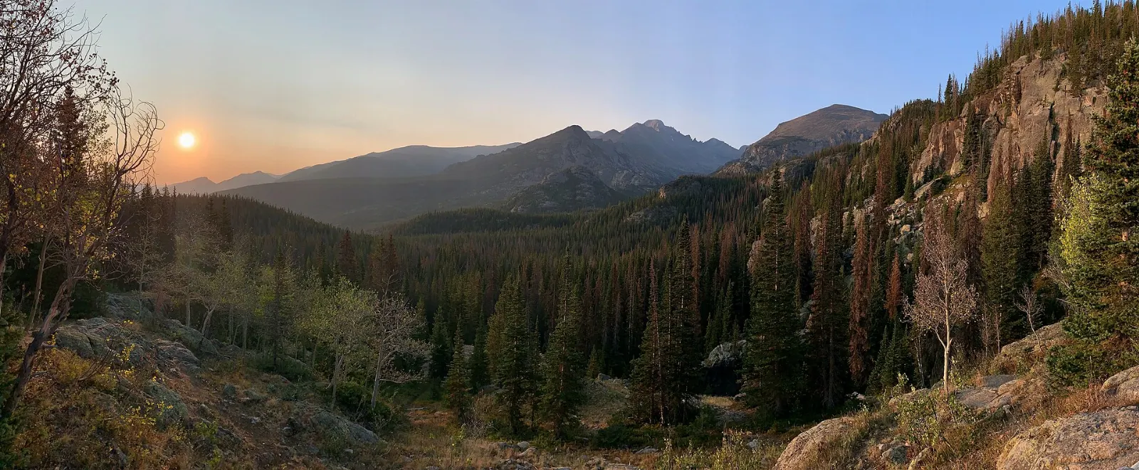
Photo: mark byzewski, Wikimedia Commons, CC BY 2.0