WiserMap — Choose wisely. Connect locally.Choose wisely. Connect locally.Add your business

Acadia National Park

No reviews yetNational park Maine, United States
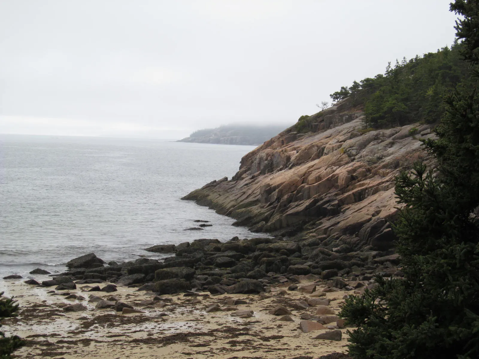
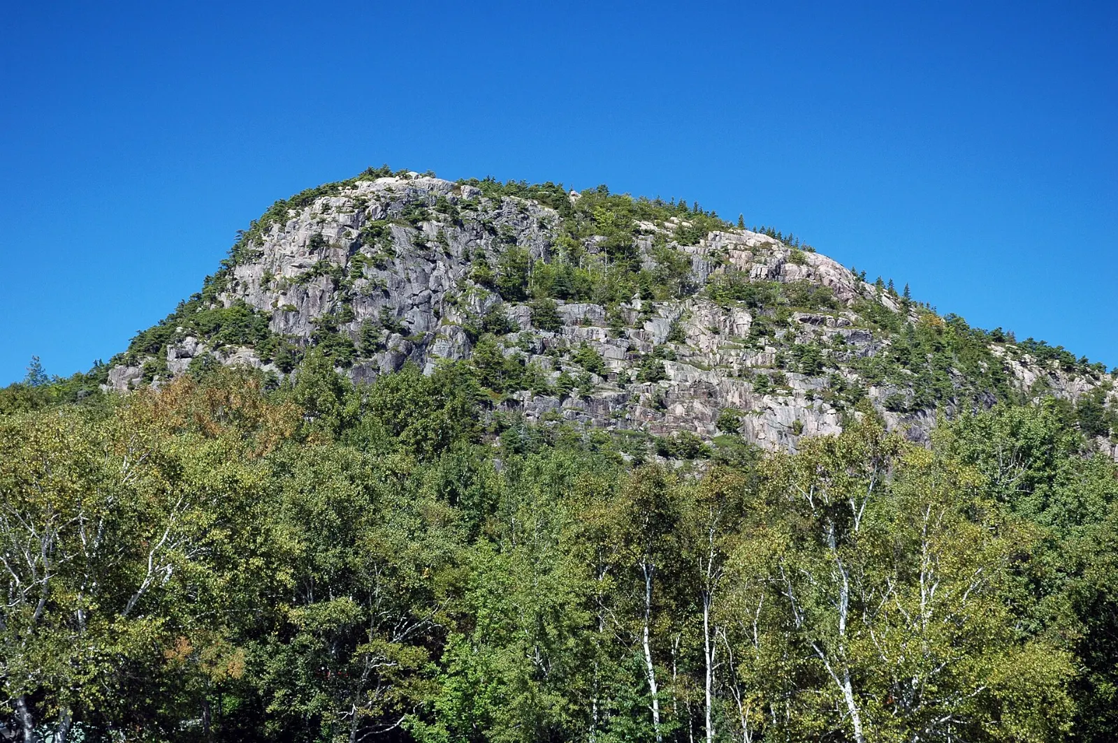
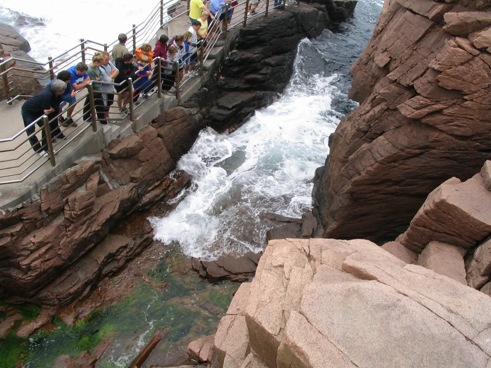
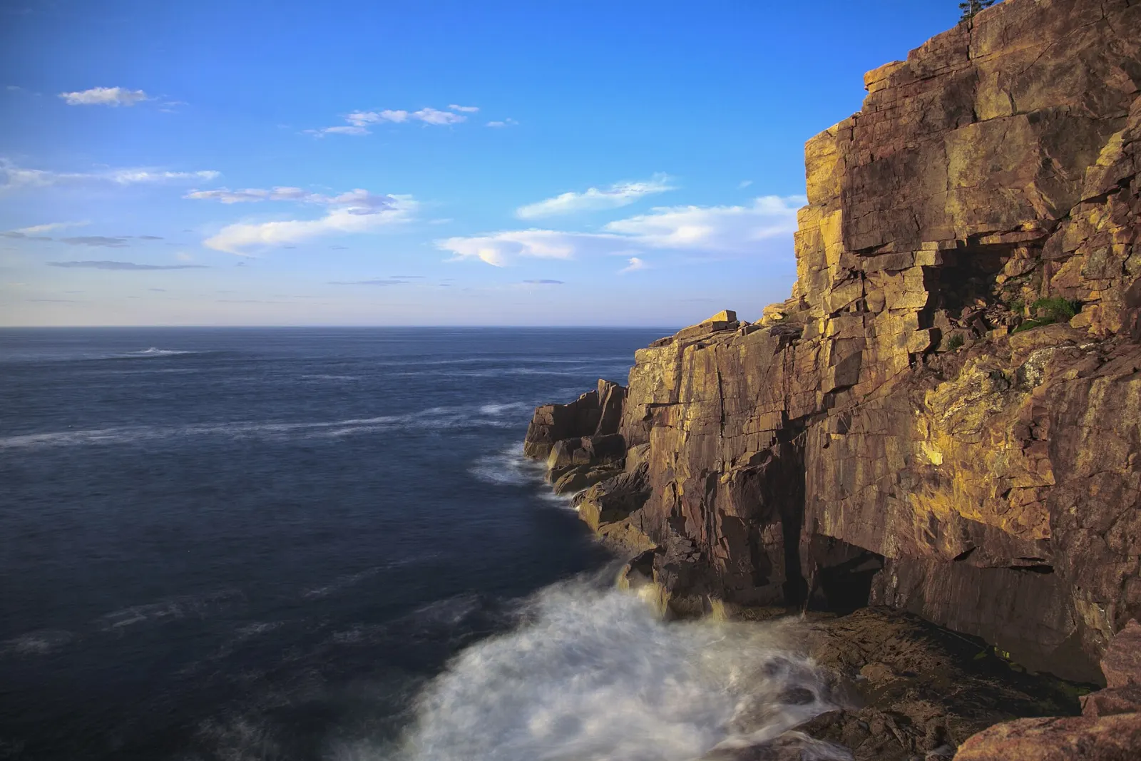
Acadia National Park, Maine, United StatesSand Beach sits in a cove off Park Loop Road, below the cliffs of the Beehive, Acadia National Park, MaineThe Beehive is a granite knob climbed by a steep trail with iron rungs and ledges, Acadia National Park, MaineThunder Hole is a narrow inlet where incoming waves can trap air and boom against the rock, Acadia National Park, MaineOtter Cliff is one of the tallest headlands on the Atlantic coast of the eastern United States, Acadia National Park, Maine

About Acadia National Park

Acadia National Park protects much of Mount Desert Island on the Maine coast, along with part of the Schoodic Peninsula and several smaller islands. Pink granite mountains, rounded by glaciers, rise directly from the Atlantic. Much of the land was donated by summer residents in the early twentieth century, and it became the first national park east of the Mississippi.

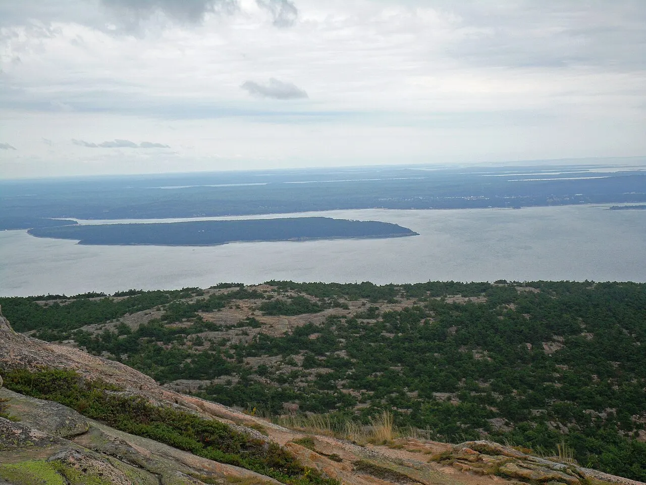
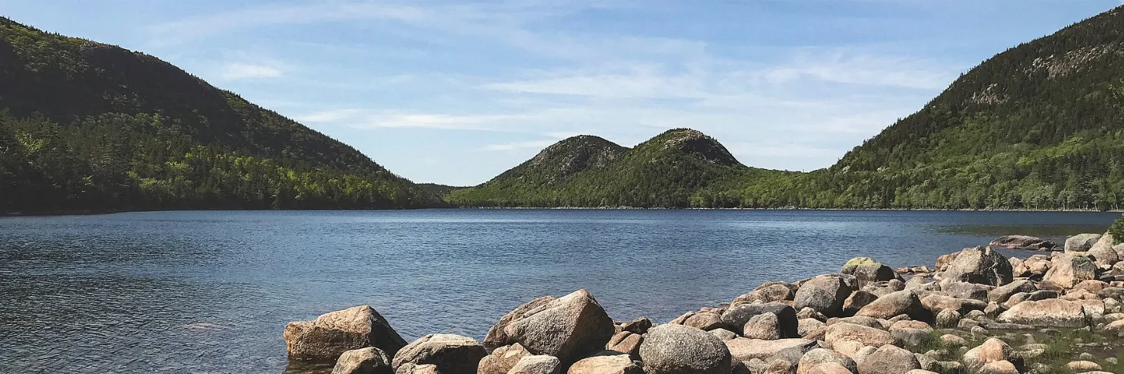
Cadillac Mountain, the island's highest summit, is a classic place to watch the sunrise. Along the Park Loop Road, Sand Beach fills a sheltered cove, the iron rungs of the Beehive trail climb above it, and Great Head offers a gentler headland loop. The Ocean Path follows the rocky shore past Thunder Hole, to the cliffs of Otter Cliff. Inland, Jordan Pond reflects the rounded twin summits of the Bubbles, and the carriage roads funded by John D. Rockefeller Jr. carry walkers and cyclists. On the quieter western side, Bass Harbor Head Light perches on the rocks, Echo Lake draws swimmers, and Somes Sound cuts deep into the island. Bar Harbor is the main town, and at low tide a gravel bar leads out to Bar Island.

Acadia suits hikers, cyclists, families and photographers. Summer and early fall are peak season, and the sunrise drive up Cadillac has required a vehicle reservation in busy months.

Best seasonLate June through mid-October brings open roads, warm days and fall foliage by early October.
Ideal stayThree days allows the Park Loop Road, several hikes and a ride on the carriage roads.
ArrivingBangor and Hancock County-Bar Harbor airports are closest; many travelers drive up the coast from Portland.
Acadia National Park Maine Cadillac Mountain and Jordan PondWiserMap travel guideAcadia National Park Maine Cadillac Mountain and Jordan PondPlan Acadia National Park with this guide to Cadillac Mountain, Jordan Pond, Sand Beach, the carriage roads, Schoodic Point, seasons and vehicle reservations.Read the guide

Exploring Acadia National Park: 12 Must-See Spots

Viewpoints 2

Cadillac Mountain, Acadia National Park, Maine, United States

Cadillac Mountain

The highest point on the US Atlantic coast, with a road and several trails to the bare granite summit and views over Bar Harbor an...
Otter Cliff, Acadia National Park, Maine, United States

Otter Cliff

Pink granite cliffs rising about 110 feet above the sea along the Park Loop Road, among the highest headlands on the Atlantic coas...

Hikes 4

The Beehive and Great Head, Acadia National Park, Maine, United States

The Beehive and Great Head

The Beehive is a short but steep climb above Sand Beach with iron rungs and ledges with drop-offs, not suited to those afraid of h...
Precipice Trail, Acadia National Park, Maine, United States

Precipice Trail

A very steep climb up the east face of Champlain Mountain using iron rungs, ladders and narrow ledges, about 1,000 feet of gain in...
Jordan Pond and the Bubbles, Acadia National Park, Maine, United States

Jordan Pond and the Bubbles

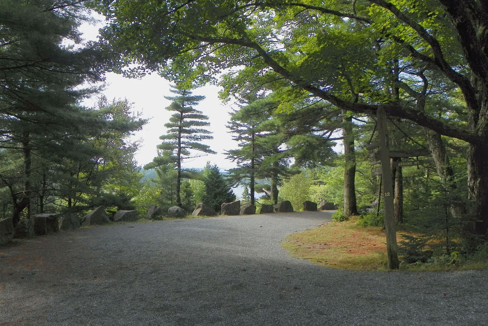
A clear glacial lake with the twin rounded peaks of the Bubbles at its north end. A flat 3.3-mile path circles the shore, and a st...
Ocean Path and Thunder Hole, Acadia National Park, Maine, United States

Ocean Path and Thunder Hole

An easy coastal path of about two miles from Sand Beach to Otter Point, passing pink granite ledges and sea views. Thunder Hole is...

Beaches 1

Sand Beach, Acadia National Park, Maine, United States

Sand Beach

A small beach between granite headlands on the Park Loop Road, made largely of crushed shell fragments. The water rarely gets much...

Scenic Drives 2

Acadia Carriage Roads, Acadia National Park, Maine, United States

Acadia Carriage Roads

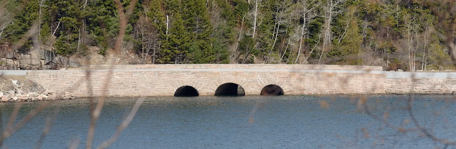
About 45 miles of broken stone roads built by John D. Rockefeller Jr. for horse-drawn carriages, now closed to cars and open to wa...
Schoodic Peninsula, Acadia National Park, Maine, United States

Schoodic Peninsula

The only part of Acadia on the mainland, about an hour's drive from Bar Harbor or a seasonal ferry ride from Bar Harbor to Winter...

Lighthouses 1

Bass Harbor Head Light, Acadia National Park, Maine, United States

Bass Harbor Head Light

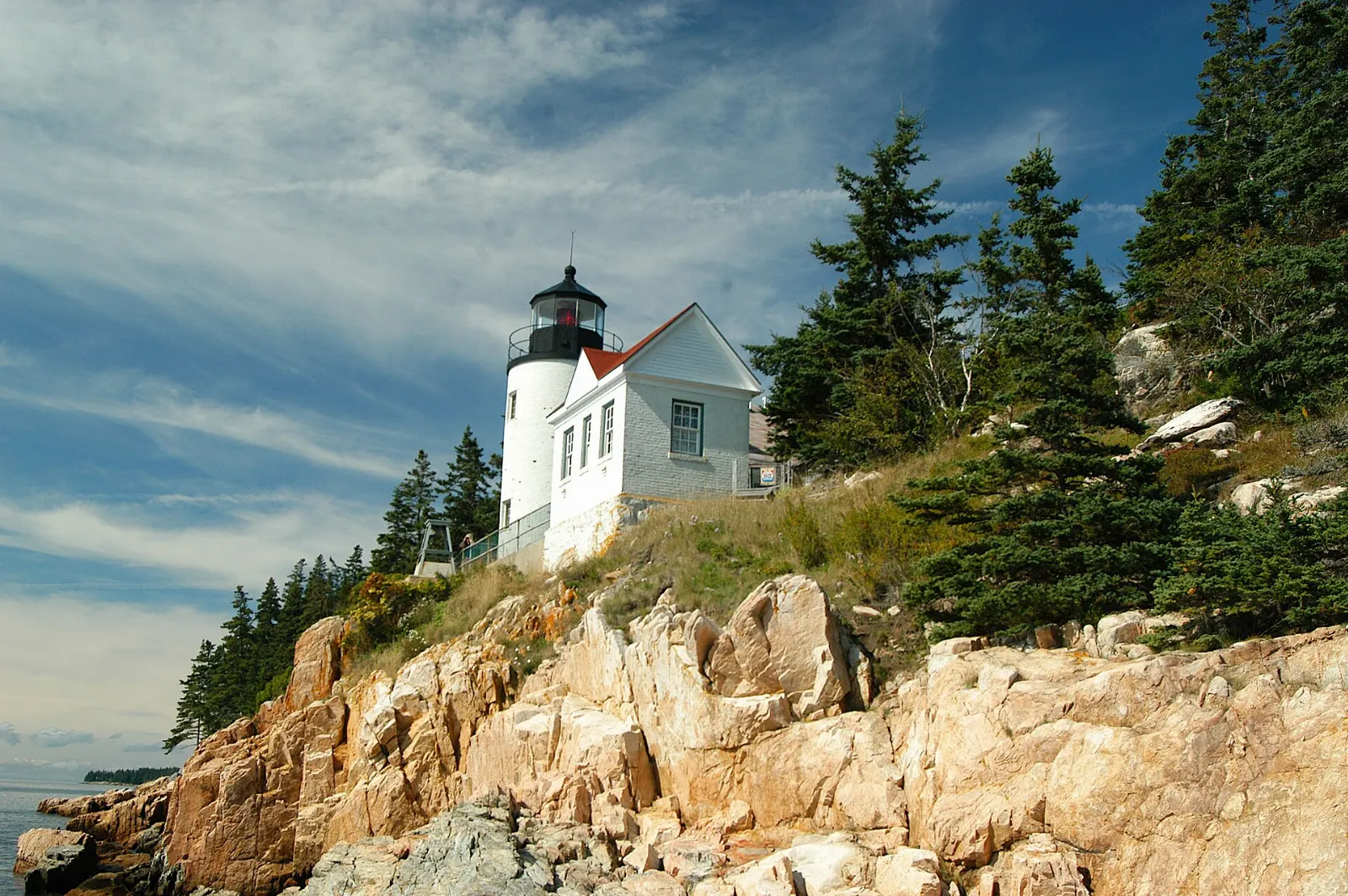
A lighthouse from 1858 on the quiet southwest side of Mount Desert Island, perched on red granite cliffs. A short path and stairs...

Nature 1

Echo Lake and Somes Sound

Echo Lake is a freshwater lake with a sandy beach and lifeguards in summer, popular for swimming on the island's quieter western s...

Neighborhoods 1

Bar Harbor and Bar Island, Acadia National Park, Maine, United States

Bar Harbor and Bar Island

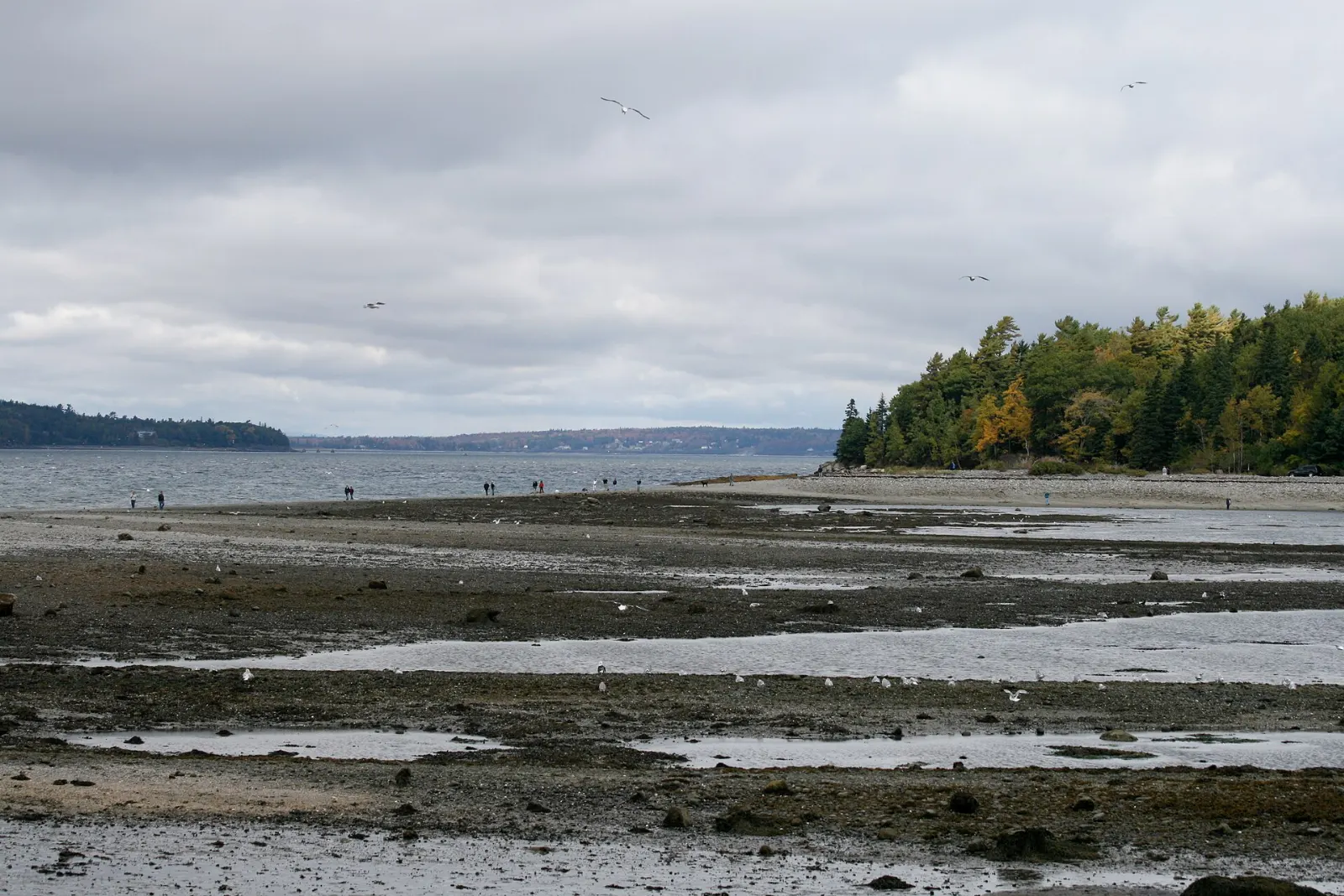
Bar Harbor is the lively gateway town with inns, shops, whale watch tours and lobster restaurants. At low tide a sand bar opens to...

Reviews

No reviews yet. Been to Acadia National Park? Be the first to share your experience.

Write a review

Share what you loved, what to skip and tips for other travelers.

Log in to write a review

Share your photos

Been to Acadia National Park? Add your best shots to the gallery.

Log in to add photos

More places in Maine

See all places in United States →

Photo credits

Photo: Aaron Zhu, Wikimedia Commons, CC BY-SA 3.0

Photo: Dougtone, Wikimedia Commons, CC BY-SA 2.0

Photo: James St. John, Wikimedia Commons, CC BY 2.0

Photo: Ken Lund, Wikimedia Commons, CC BY-SA 2.0

Photo: National Park Service / Matthew Lambert (Acadia Youth Technology Team) derivative work:…, Wikimedia Commons, Public domain

Photo: NPS / Victoria Stauffenberg derivative work: User:Maps and stuff (cropped to 3:1 ratio,…, Wikimedia Commons, Public domain

Photo: Bubba73, Wikimedia Commons, CC BY-SA 3.0

Photo: G. Edward Johnson, Wikimedia Commons, CC BY-SA 3.0

Photo: Tim Sackton from Somerville, MA, Wikimedia Commons, CC BY-SA 2.0

Photo: Plh1234us, Wikimedia Commons, CC BY-SA 3.0

Photo: Martin D. Adamiker, Wikimedia Commons, CC BY-SA 3.0

Photo: Cortomaltais, Wikimedia Commons, CC BY-SA 3.0

Photo: Adavyd, Wikimedia Commons, CC BY-SA 3.0

Photo: Fredlyfish4, Wikimedia Commons, CC BY-SA 4.0

Photo: Maddie.d.photography, Wikimedia Commons, CC BY-SA 4.0

Photo: Harvey Barrison from Massapequa, NY, USA, Wikimedia Commons, CC BY-SA 2.0

Photo: FirozAnsari, Wikimedia Commons, CC BY-SA 4.0

Photo: liz west from Boxborough, MA, Wikimedia Commons, CC BY 2.0

Photo: Kevin A. Trostle derivative work: User:Maps and stuff (cropped to 3:2 ratio elim, Wikimedia Commons, CC BY-SA 3.0

Photo: Flickr user nschouterden, Wikimedia Commons, CC BY 2.0

Photo: EgorovaSvetlana, Wikimedia Commons, CC BY-SA 4.0

Photo: EgorovaSvetlana, Wikimedia Commons, CC BY-SA 4.0

Photo: EgorovaSvetlana, Wikimedia Commons, CC BY-SA 4.0

Photo: EgorovaSvetlana, Wikimedia Commons, CC BY-SA 4.0

Photo: EgorovaSvetlana, Wikimedia Commons, CC BY-SA 4.0

Photo: Aaron Zhu, Wikimedia Commons, CC BY-SA 3.0

Photo: Tichnor Brothers, Publisher, Wikimedia Commons, Public domain

Photo: John Manard, Wikimedia Commons, CC BY-SA 2.0

Photo: Famartin, Wikimedia Commons, CC BY-SA 4.0

Photo: Fredlyfish4, Wikimedia Commons, CC BY-SA 4.0

Photo: Fredlyfish4, Wikimedia Commons, CC BY-SA 4.0

Photo: Fredlyfish4, Wikimedia Commons, CC BY-SA 4.0

Photo: John Manard, Wikimedia Commons, CC BY-SA 2.0

Photo: John Manard, Wikimedia Commons, CC BY-SA 2.0

Photo: John Manard, Wikimedia Commons, CC BY-SA 2.0

Photo: John Manard, Wikimedia Commons, CC BY-SA 2.0

Photo: John Manard, Wikimedia Commons, CC BY-SA 2.0

Photo: Tichnor Brothers, Publisher, Wikimedia Commons, Public domain

Photo: Billy Hathorn, Wikimedia Commons, CC BY 3.0

Photo: Erin McDaniel Erinmcd, Wikimedia Commons, CC BY 3.0

Photo: chensiyuan, Wikimedia Commons, CC BY-SA 4.0

Photo: John Manard, Wikimedia Commons, CC BY-SA 2.0

Photo: Dougtone, Wikimedia Commons, CC BY-SA 2.0

Photo: Dougtone, Wikimedia Commons, CC BY-SA 2.0

Photo: Dougtone, Wikimedia Commons, CC BY-SA 2.0

Photo: Dougtone, Wikimedia Commons, CC BY-SA 2.0

Photo: Kevin A. Trostle, Wikimedia Commons, CC BY-SA 3.0

Photo: Kevin A. Trostle, Wikimedia Commons, CC BY-SA 3.0

Photo: JRLibby, Wikimedia Commons, CC BY-SA 3.0

Photo: National Park Service / uncredited derivative work: User:Maps and stuff (cropped, Wikimedia Commons, Public domain

Photo: OKJaguar, Wikimedia Commons, CC BY 4.0

Photo: EgorovaSvetlana, Wikimedia Commons, CC BY-SA 4.0

Photo: EgorovaSvetlana, Wikimedia Commons, CC BY-SA 4.0

Photo: Giorgio Galeotti, Wikimedia Commons, CC BY-SA 4.0

Photo: Ken Lund from Reno, Nevada, USA, Wikimedia Commons, CC BY-SA 2.0

Photo: John Manard, Wikimedia Commons, CC BY-SA 2.0

Photo: John Manard, Wikimedia Commons, CC BY-SA 2.0

Photo: John Manard, Wikimedia Commons, CC BY-SA 2.0

Photo: EgorovaSvetlana, Wikimedia Commons, CC BY-SA 4.0

Photo: Ken Lund, Wikimedia Commons, CC BY-SA 2.0
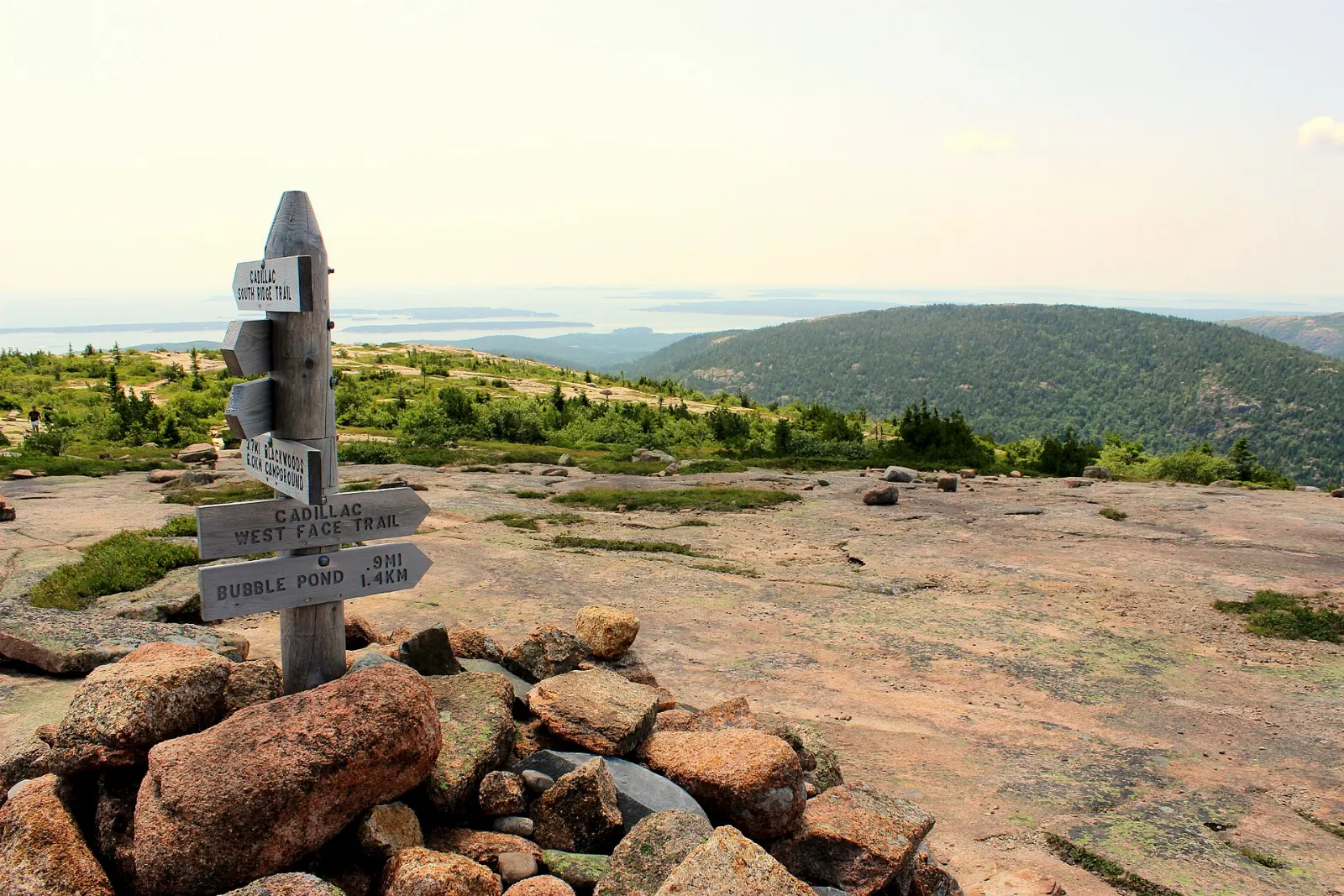
Photo: Tichnor Brothers, Publisher, Wikimedia Commons, Public domain

Photo: Ken Lund, Wikimedia Commons, CC BY-SA 2.0