WiserMap — Choose wisely. Connect locally.Choose wisely. Connect locally.Add your business

Abraham Lake

No reviews yetLake Alberta, Canada
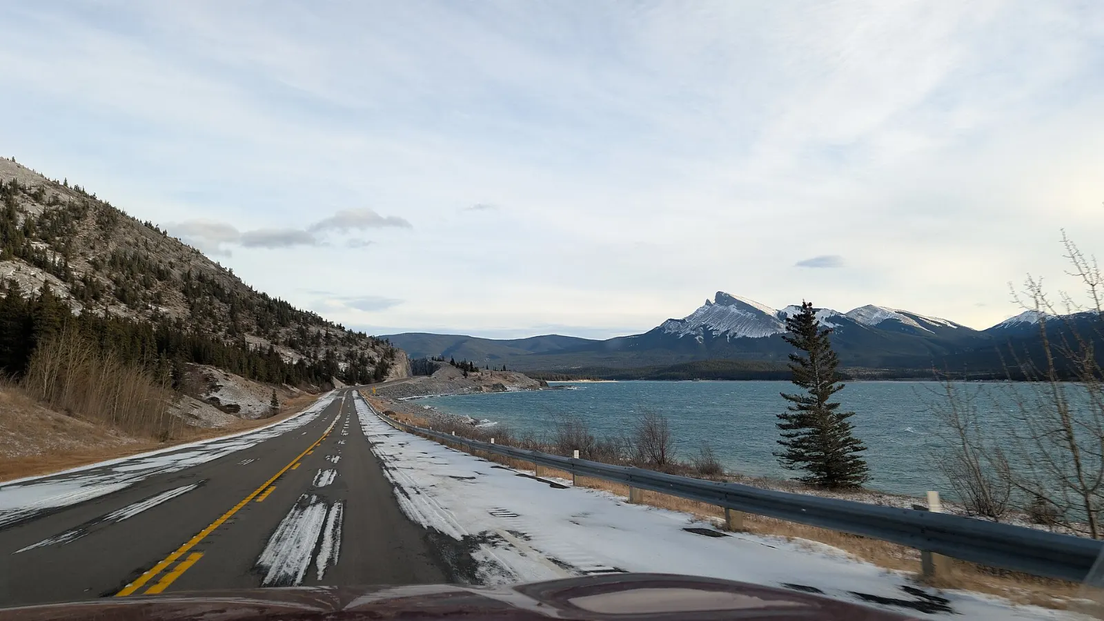
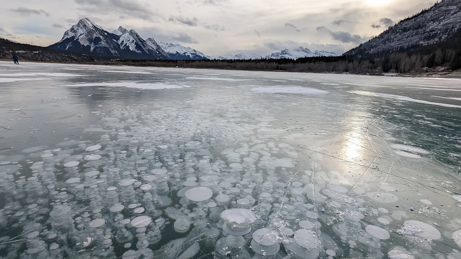
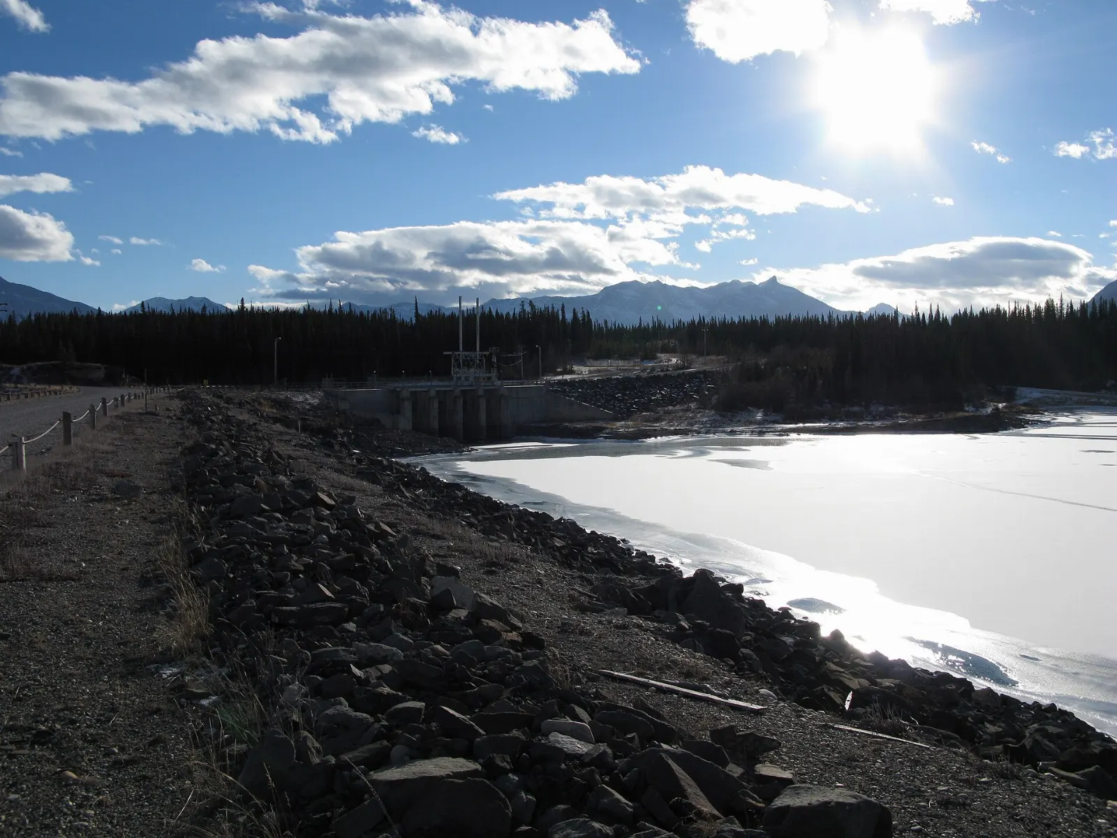
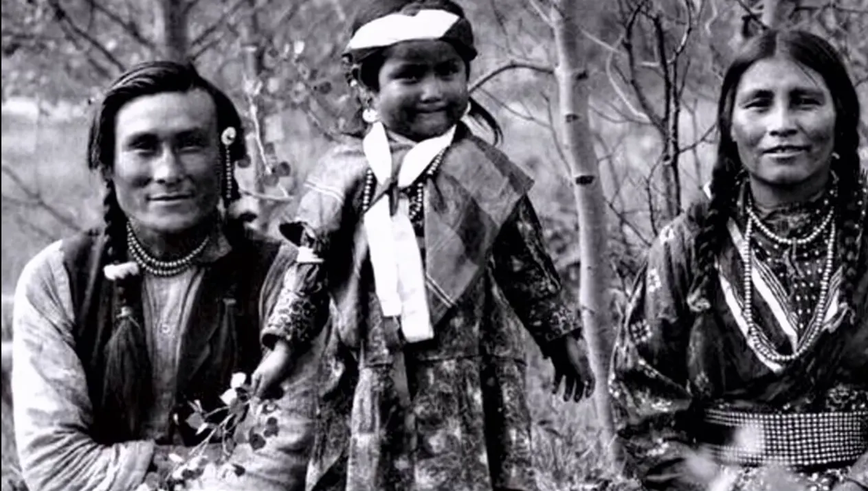
Abraham Lake, Alberta, CanadaMethane released by decaying plants forms stacks of bubbles that freeze into the lake ice, Abraham Lake, AlbertaThe Bighorn Dam, built in 1972, created Abraham Lake on the North Saskatchewan River, AlbertaThe Kootenay Plains were visited by David Thompson in the early 1800s and remain important to First Nations, Abraham Lake, AlbertaSiffleur Falls is a series of three waterfalls on the Siffleur River, Abraham Lake, Alberta

About Abraham Lake

Abraham Lake is a long, narrow reservoir on the North Saskatchewan River in Alberta's front ranges, created when the Bighorn Dam was completed in the early 1970s. It lies along the David Thompson Highway, between the foothills town of Nordegg and the Icefields Parkway. Glacial silt gives the water a turquoise color in summer, and steady winds sweep down the valley.

The lake is best known for its winter scenery. When the surface freezes, gases rising from decomposing plants on the lakebed are trapped in layers of clear ice, creating stacked white bubbles that draw photographers. Windy Point and other pullouts along the Abraham Lake shoreline are popular for viewing them, though thin or broken ice is a real risk. In summer, the Bighorn Dam area and the open Kootenay Plains offer hiking and wildflowers, and a trail leads to Siffleur Falls. North of Nordegg, Crescent Falls drops in two tiers into a canyon, and the Brazeau Collieries Historic Mine Site preserves a former coal-mining operation. Ram Falls is another scenic stop on the Forestry Trunk Road.

Services along the highway are limited and the weather shifts quickly, so self-sufficient travelers do best here. Rocky Mountain House National Historic Site adds fur-trade history to the east, while Saskatchewan River Crossing links the route to Banff and Jasper.

Best seasonJanuary and February for ice bubbles; July and August for hiking, paddling and wildflowers.
Ideal stayTwo to three days covers the lake, nearby waterfalls and Nordegg.
ArrivingMost travelers drive the David Thompson Highway from Red Deer or from the Icefields Parkway.
Abraham Lake Alberta Frozen Methane Bubbles and WaterfallsWiserMap travel guideAbraham Lake Alberta Frozen Methane Bubbles and WaterfallsPlan a trip to Abraham Lake in Alberta: frozen methane bubbles, Crescent Falls, Siffleur Falls, Nordegg history, local food, lodging and highway tips.Read the guide

12 Ways to Experience Abraham Lake

Winter Sights 1

Abraham Lake ice bubbles

In winter, methane released by decaying plants on the lake bed freezes into stacked white bubbles trapped in Abraham Lake's clear...

Lakes 1

Abraham Lake shoreline, Abraham Lake, Alberta, Canada

Abraham Lake shoreline

Abraham Lake is Alberta's largest reservoir, a long turquoise lake along the David Thompson Highway with mountains rising from its...

Viewpoints 1

Preacher's Point

At the southern end of Abraham Lake, Preacher's Point is a wide, open shoreline area popular for random camping, photography and w...

Landmarks 1

Bighorn Dam, Abraham Lake, Alberta, Canada

Bighorn Dam

Completed in 1972 on the North Saskatchewan River, the Bighorn Dam created Abraham Lake and is Alberta's largest hydroelectric res...

Nature 1

Kootenay Plains, Abraham Lake, Alberta, Canada

Kootenay Plains

West of the lake, the Kootenay Plains are a rare montane grassland with open meadows, aspen and old Douglas fir, long used by Ston...

Waterfalls 3

Siffleur Falls, Abraham Lake, Alberta, Canada

Siffleur Falls

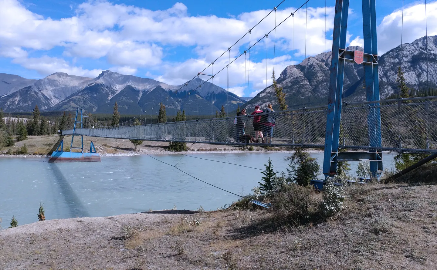
From the Siffleur Falls staging area on Highway 11, a mostly flat trail of about 4 km crosses a suspension bridge over the North S...
Crescent Falls, Abraham Lake, Alberta, Canada

Crescent Falls

Off the David Thompson Highway west of Nordegg, Crescent Falls is a two-tiered waterfall on the Bighorn River, with a campground a...
Ram Falls, Abraham Lake, Alberta, Canada

Ram Falls

South of Nordegg along the Forestry Trunk Road, Ram Falls Provincial Park has a 20 metre waterfall on the Ram River, seen from a v...

History 1

Brazeau Collieries Historic Mine Site, Abraham Lake, Alberta, Canada

Brazeau Collieries Historic Mine Site

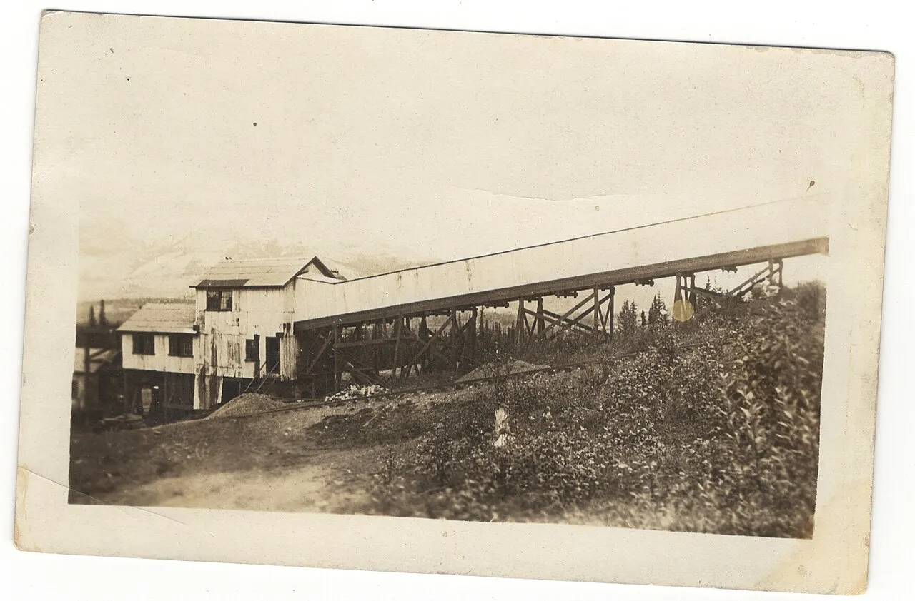
Near Nordegg, the Brazeau Collieries is one of Canada's best preserved coal mine processing plants, operating from 1914 to 1955. G...

Towns 1

Nordegg, Abraham Lake, Alberta, Canada

Nordegg

Nordegg is a small former coal mining town on the David Thompson Highway, the last services before Abraham Lake, with a heritage c...

Hikes 1

Allstones Lake Trail

Starting from the David Thompson Highway near Abraham Lake, the Allstones Lake trail climbs steadily through forest and rocky slop...

Scenic Drives 1

David Thompson Highway, Abraham Lake, Alberta, Canada

David Thompson Highway

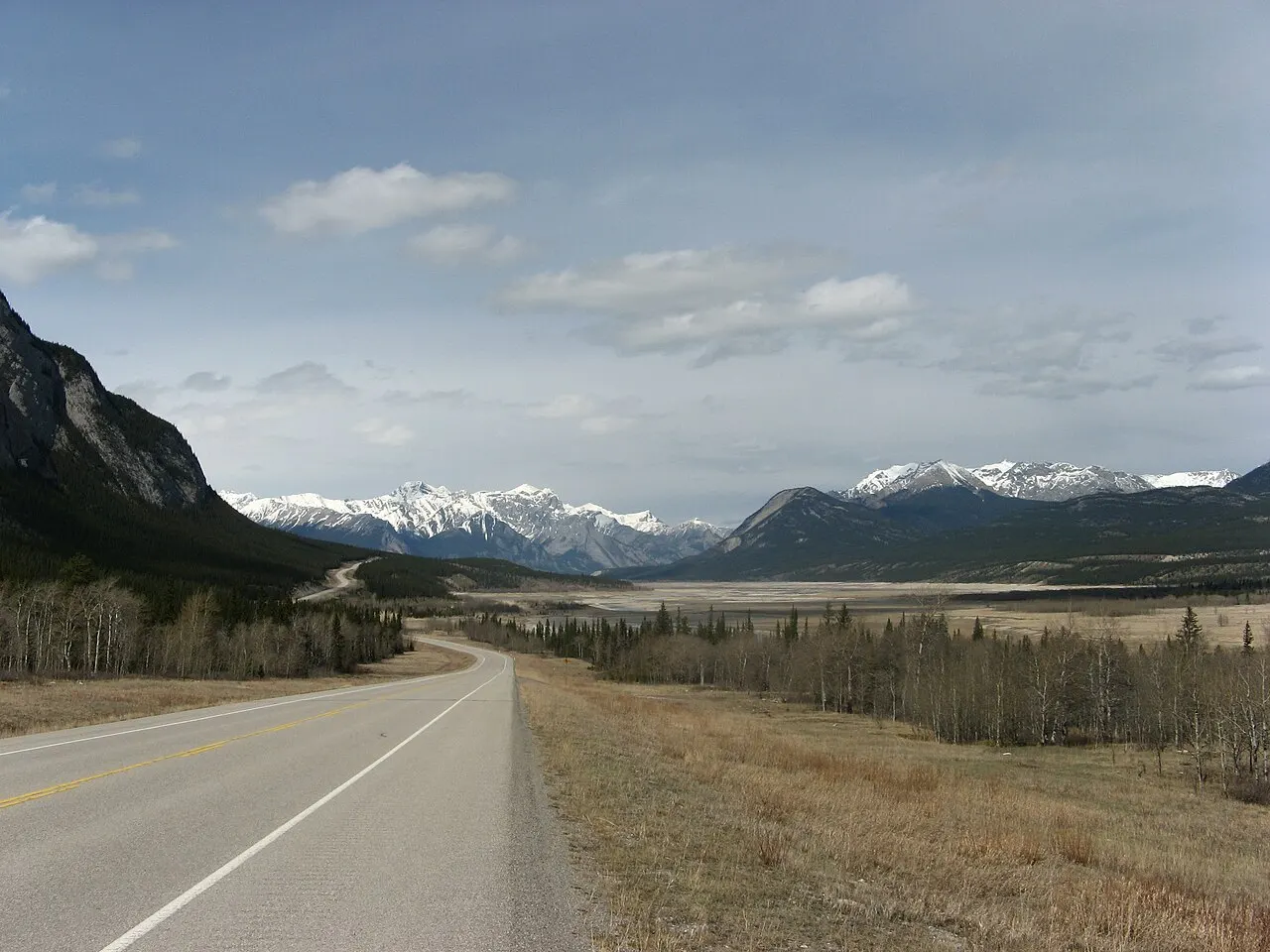
Highway 11, the David Thompson Highway, runs west from Rocky Mountain House past Nordegg and along Abraham Lake to the Icefields P...

Reviews

No reviews yet. Been to Abraham Lake? Be the first to share your experience.

Write a review

Share what you loved, what to skip and tips for other travelers.

Log in to write a review

Share your photos

Been to Abraham Lake? Add your best shots to the gallery.

Log in to add photos

More places in Alberta

See all places in Canada →

Photo credits

Photo: Joli Rumi, Wikimedia Commons, CC BY-SA 4.0

Photo: Joli Rumi, Wikimedia Commons, CC BY-SA 4.0

Photo: Erik Lizee (talk) (Uploads), Wikimedia Commons, Public domain

Photo: Unknown authorUnknown author, Wikimedia Commons, Public domain

Photo: Jbearr33, Wikimedia Commons, CC BY-SA 4.0

Photo: Mack Male from Edmonton, AB, Canada, Wikimedia Commons, CC BY-SA 2.0

Photo: Grapher78, Wikimedia Commons, CC BY-SA 3.0
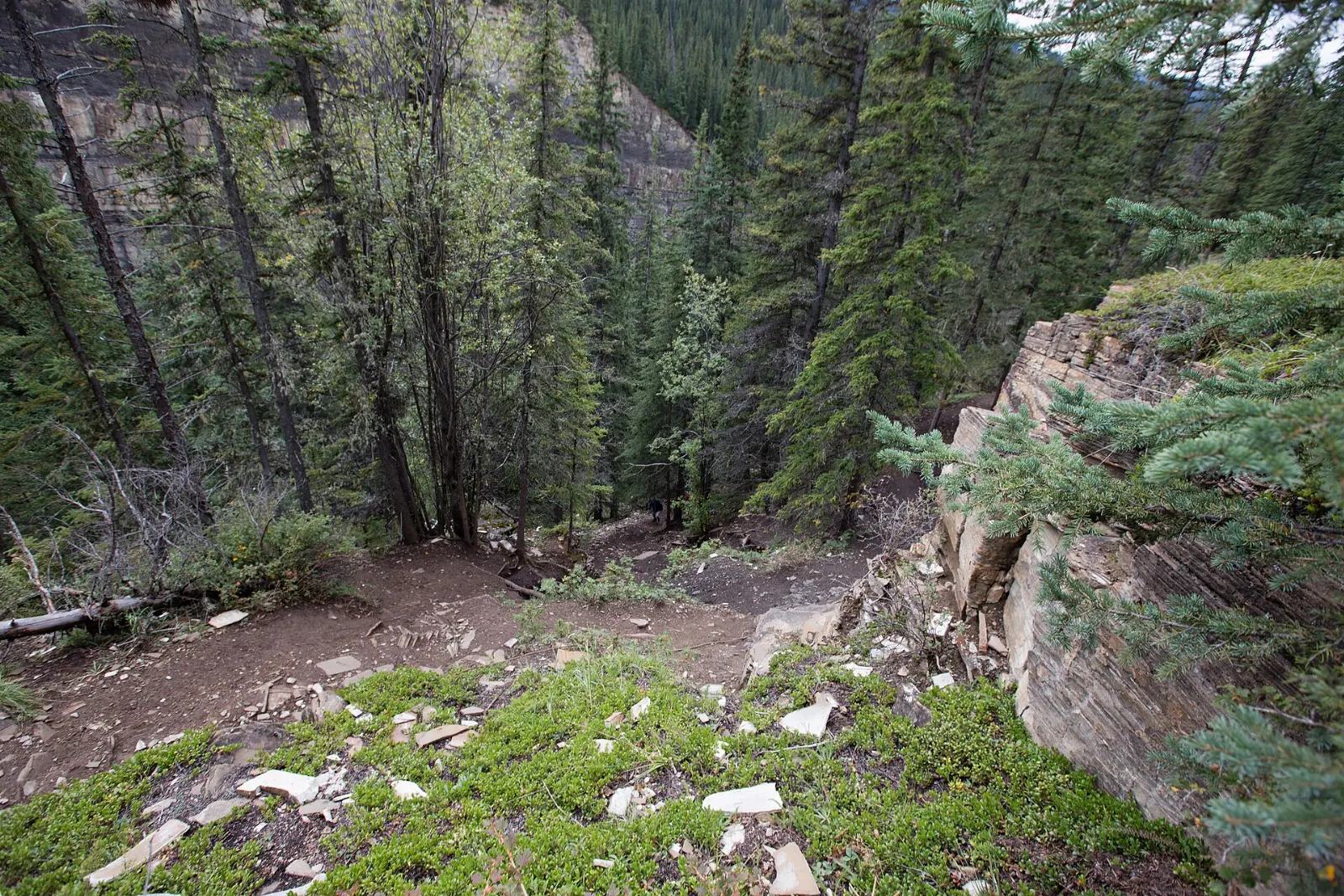
Photo: Mack Male from Edmonton, AB, Canada, Wikimedia Commons, CC BY-SA 2.0

Photo: Joli Rumi, Wikimedia Commons, CC BY-SA 4.0

Photo: Paul Hermans, Wikimedia Commons, CC BY-SA 3.0
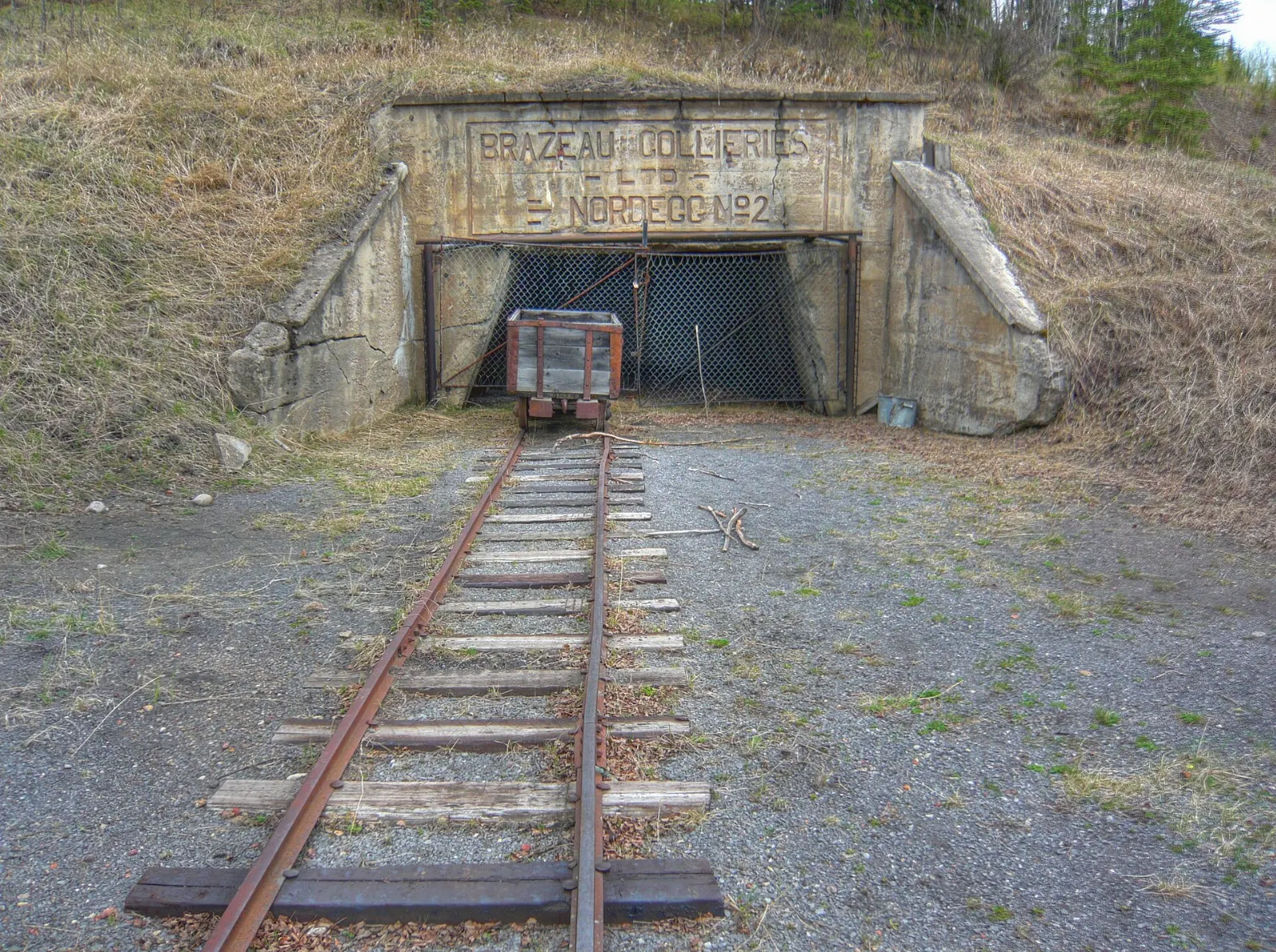
Photo: Jakub Fryš, Wikimedia Commons, CC BY-SA 4.0

Photo: Earth Science and Remote Sensing Unit, Lyndon B. Johnson Space Center, Wikimedia Commons, Public domain

Photo: As2020sa, Wikimedia Commons, CC BY-SA 4.0

Photo: Joli Rumi, Wikimedia Commons, CC BY-SA 4.0

Photo: Earth Science and Remote Sensing Unit, Lyndon B. Johnson Space Center, Wikimedia Commons, Public domain

Photo: As2020sa, Wikimedia Commons, CC BY-SA 4.0

Photo: Joli Rumi, Wikimedia Commons, CC BY-SA 4.0

Photo: Joli Rumi, Wikimedia Commons, CC BY-SA 4.0

Photo: Unknown author, Wikimedia Commons, CC BY-SA 3.0
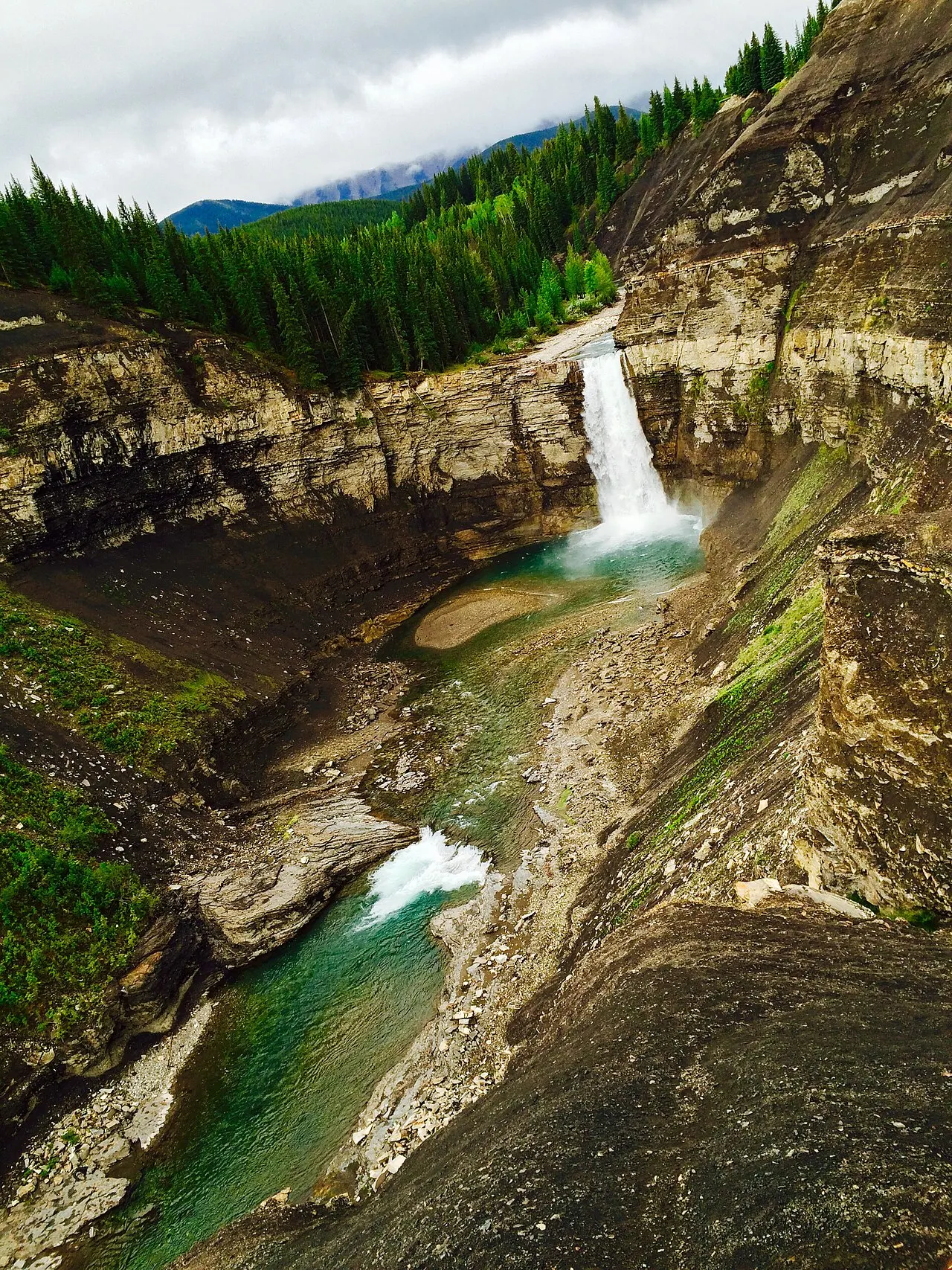
Photo: Joli Rumi, Wikimedia Commons, CC BY-SA 4.0

Photo: Peggy2012CREATIVELENZ, Wikimedia Commons, CC BY 2.0

Photo: Erik Lizee, Wikimedia Commons, Public domain

Photo: Bigrangy, Wikimedia Commons, CC BY-SA 4.0

Photo: Mack Male from Edmonton, AB, Canada, Wikimedia Commons, CC BY-SA 2.0

Photo: Mack Male from Edmonton, AB, Canada, Wikimedia Commons, CC BY-SA 2.0

Photo: Mack Male from Edmonton, AB, Canada, Wikimedia Commons, CC BY-SA 2.0

Photo: Mack Male from Edmonton, AB, Canada, Wikimedia Commons, CC BY-SA 2.0

Photo: Mackenzie Erwin, Wikimedia Commons, CC BY-SA 4.0

Photo: Jason Woodhead, Wikimedia Commons, CC BY 2.0

Photo: Jason Woodhead, Wikimedia Commons, CC BY 2.0

Photo: Kalen Emsley kalenemsley, Wikimedia Commons, CC0

Photo: Eriklizee at English Wikipedia, Wikimedia Commons, Public domain

Photo: Royalbroil, Wikimedia Commons, CC BY-SA 3.0