WiserMap — Find local businesses. Choose wisely.Find local businesses. Choose wisely.Join free

West Sacramento

Tap the heart
City California, United States
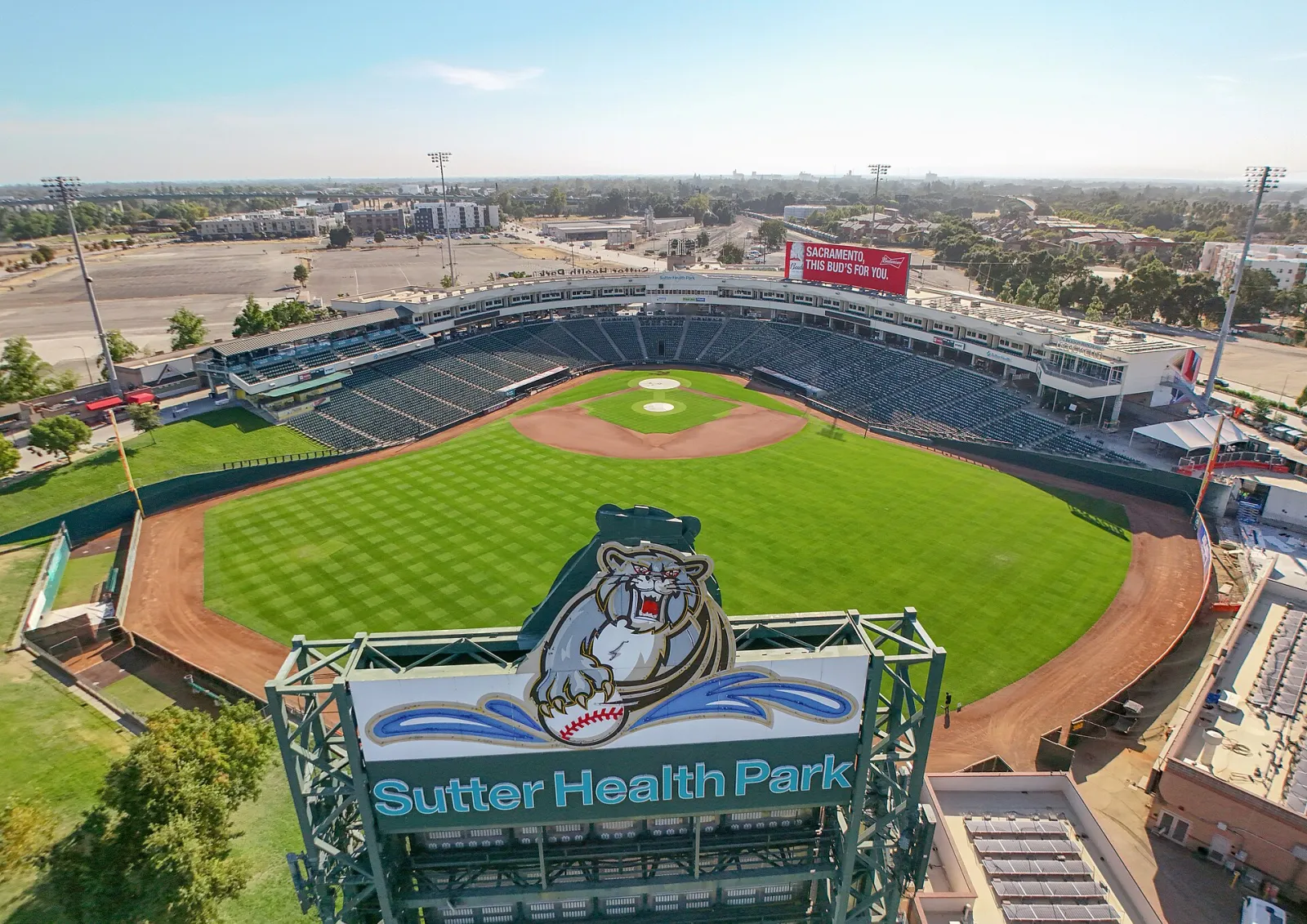
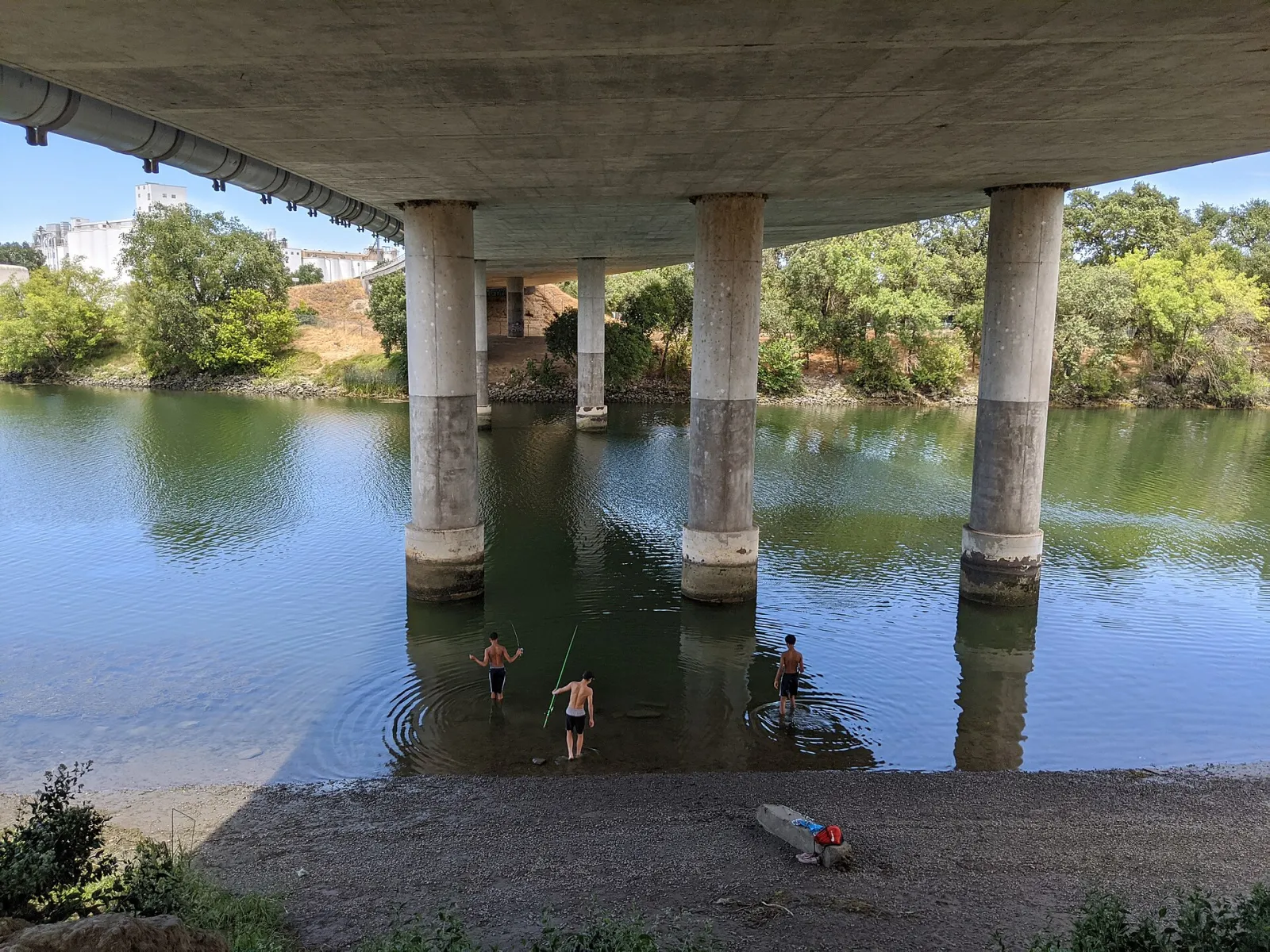
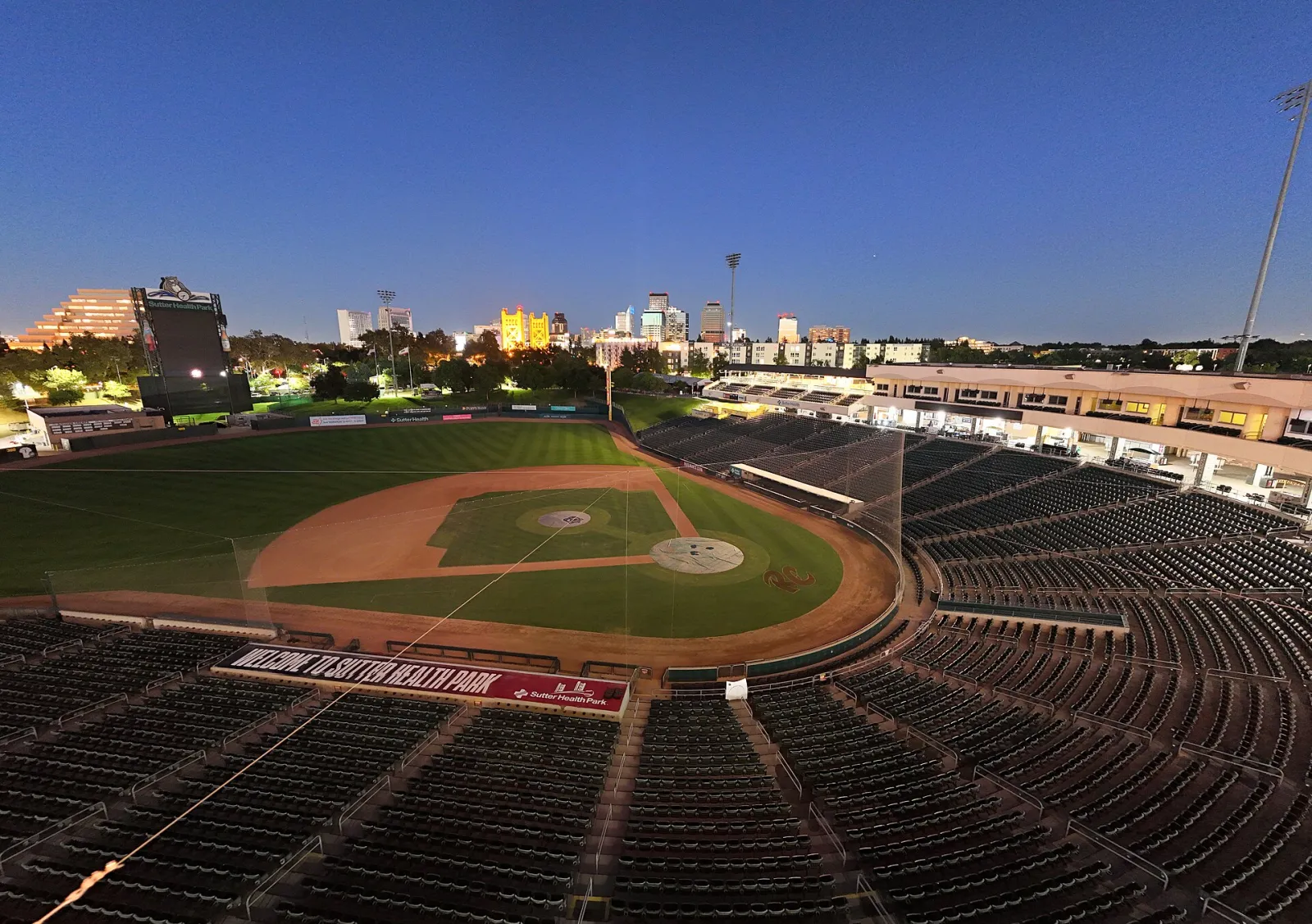
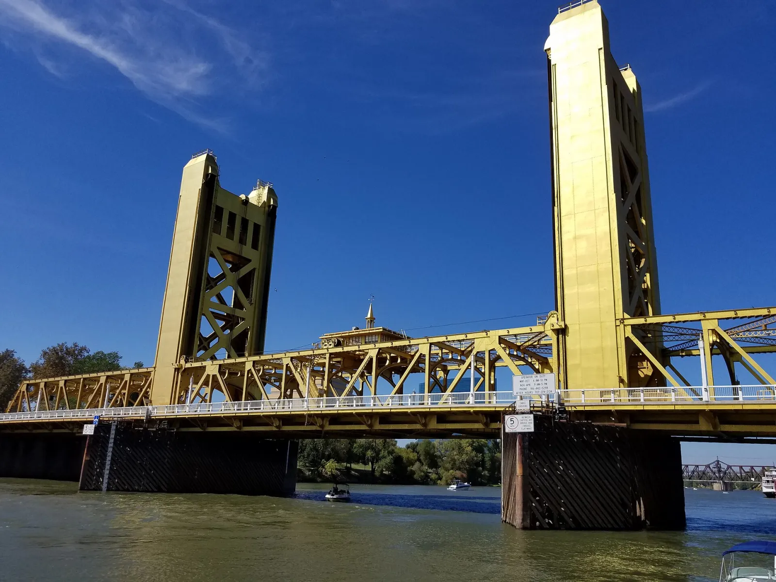
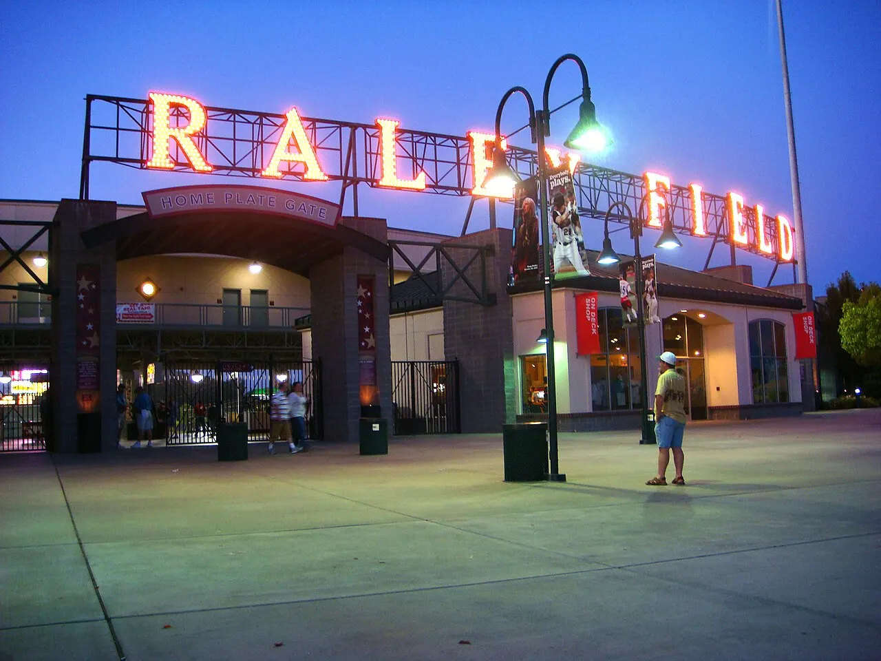
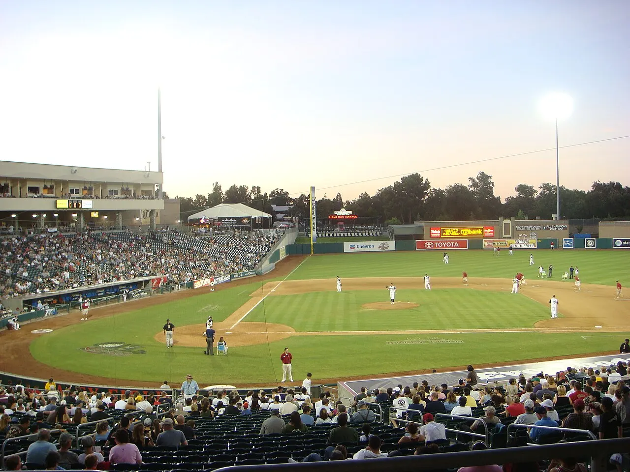
West Sacramento, California, United States Under the Daniel C. Palamidessi Bridge, West Sacramento, California, United States Sutter Health Park view on an off day, West Sacramento, California, United States West Sacramento Bridge 01, West Sacramento, California, United States Sutter Health Park, West Sacramento, California, United States

About West Sacramento

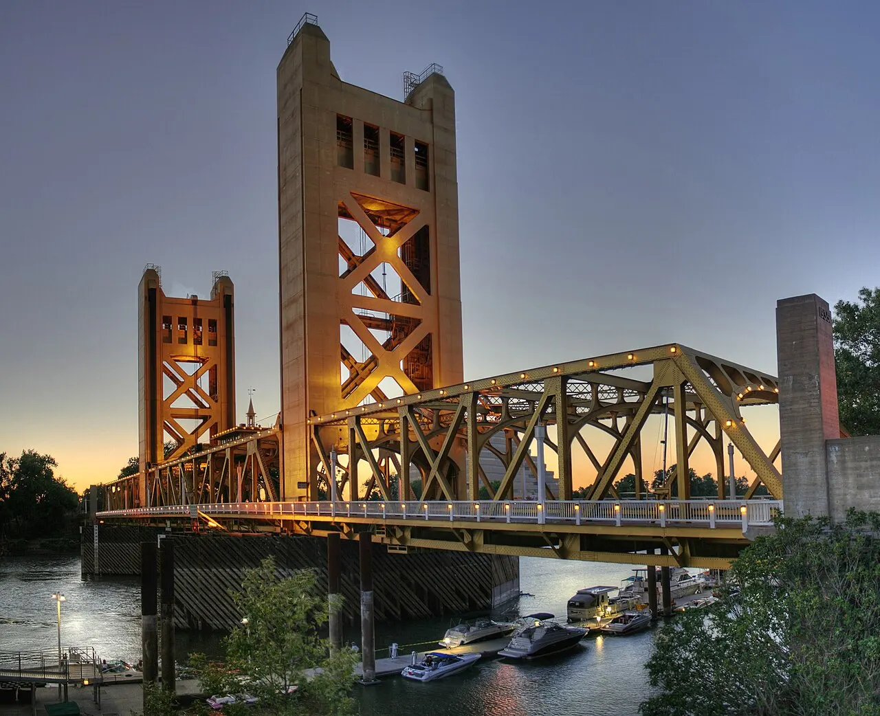
West Sacramento is a riverside city in Yolo County, California, in the United States, famous for Sutter Health Park baseball and for its views across the golden Tower Bridge to downtown Sacramento. Home to about 55,000 people on the west bank of the Sacramento River, it was formed in 1987 by merging several river communities, including Broderick and Bryte.

Once mostly warehouses, rail yards and the deepwater Port of West Sacramento, the riverfront has been transformed by the Bridge District, a new neighborhood of apartments, restaurants and The Barn, an eye-catching open-air pavilion. Next door, Sutter Health Park is home to the Sacramento River Cats, the San Francisco Giants' Triple-A team, and has also hosted the Athletics.

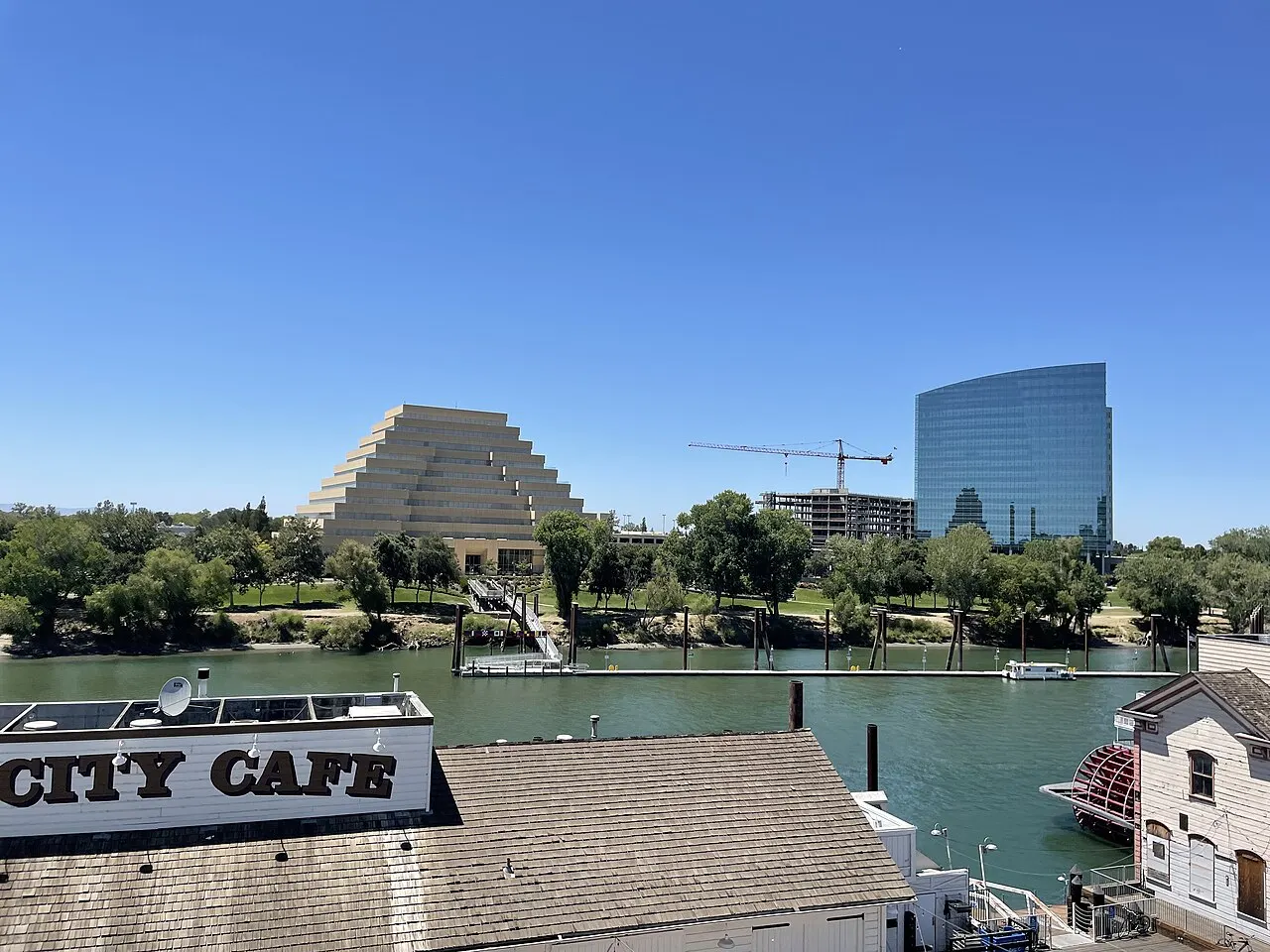
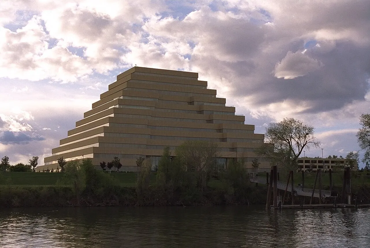
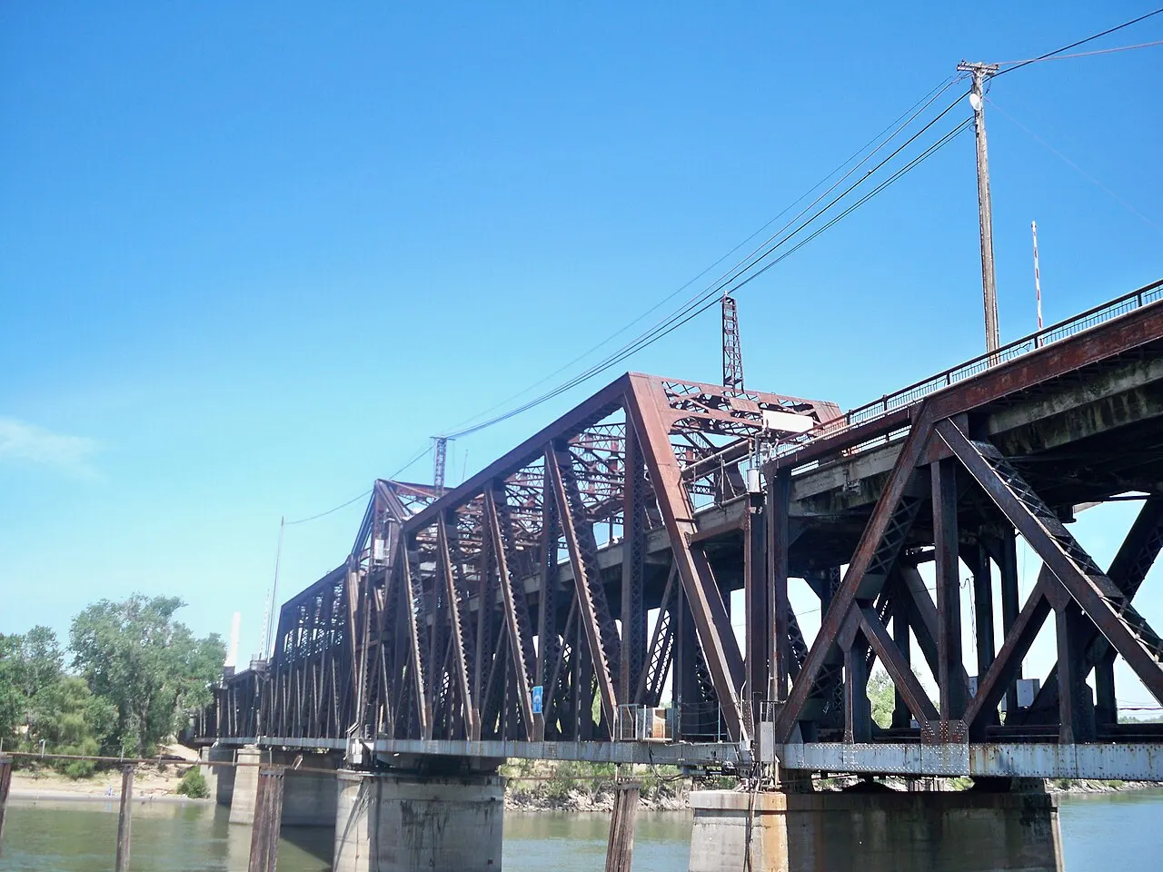
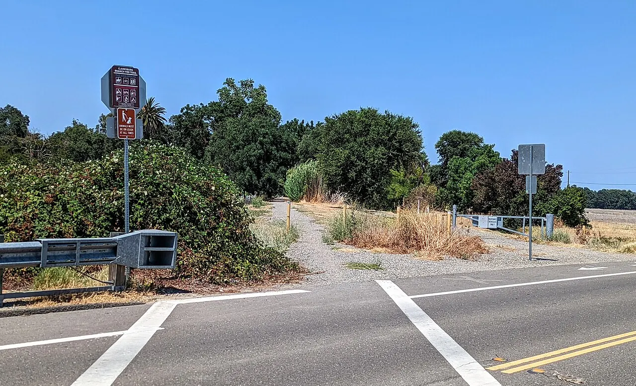
Visitors walk or bike the River Walk along the levee for views of the skyline, the stepped Ziggurat and the 1911 I Street Bridge, follow the Clarksburg Branch Line Trail south past farmland, and drive into the Delta to taste wine at the Old Sugar Mill in Clarksburg. Downtown Sacramento's museums and Old Sacramento are a short walk across the river.

Best seasonApril to October for baseball and riverside walks; spring and fall avoid the hottest summer days.
Ideal stayHalf a day to one day, ideally with a ballgame, or as a base for Sacramento.
ArrivingSacramento International Airport is about 15 minutes north; walk or bike across Tower Bridge from downtown Sacramento.

Exploring West Sacramento: 12 Must-See Spots

Riverfront and Ballpark 4

Sutter Health Park, West Sacramento, California, United States

Sutter Health Park

A riverside ballpark in West Sacramento, home of the Sacramento River Cats, Triple-A affiliate of the San Francisco Giants, with a...
West Sacramento River Walk, West Sacramento, California, United States

West Sacramento River Walk

A paved riverside path and park along the Sacramento River between the I Street and Tower bridges, with benches, lawns and front-r...

The Barn West Sacramento

A sculptural, open-air wooden pavilion in the Bridge District designed to evoke a traditional barn, used for a restaurant and brew...

Bridge District West Sacramento

A fast-growing neighborhood on former industrial land next to Sutter Health Park, with modern apartments, riverfront paths, restau...

Bridges, Landmarks and Eats 4

The Ziggurat West Sacramento, West Sacramento, California, United States

The Ziggurat West Sacramento

A striking stepped-pyramid office building on the west bank of the Sacramento River, completed in 1997 for The Money Store and now...
Tower Bridge West Sacramento, West Sacramento, California, United States

Tower Bridge West Sacramento

The golden vertical-lift bridge that links West Sacramento with Old Sacramento and the Capitol Mall, opened in 1935 and now one of...
I Street Bridge, West Sacramento, California, United States

I Street Bridge

A steel swing bridge opened in 1911 across the Sacramento River between West Sacramento and downtown Sacramento, carrying trains o...

Broderick Roadhouse

A casual roadhouse in the old Broderick neighborhood near the river, known for big burgers, fries, craft beers and a relaxed patio...

Trails, Wildlife and the Delta 4

Clarksburg Branch Line Trail, West Sacramento, California, United States

Clarksburg Branch Line Trail

A paved multi-use trail on a former rail line that runs south from the Southport area of West Sacramento past wetlands and farmlan...

Old Sugar Mill

A historic brick sugar beet refinery in Clarksburg, about 20 minutes south, converted into a wine center with tasting rooms for ma...
Yolo Bypass Wildlife Area, West Sacramento, California, United States

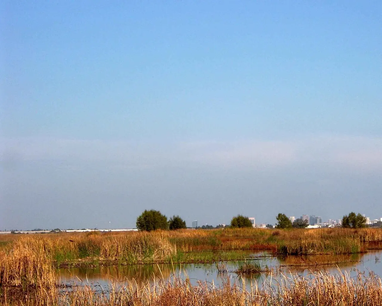
Yolo Bypass Wildlife Area

A vast managed wetland in the Yolo Bypass floodway just west of West Sacramento, where shallow ponds and fields draw huge numbers...
Locke Historic District, West Sacramento, California, United States

Locke Historic District

A small Delta town about 40 minutes south, built in 1915 by Chinese immigrants and now a National Historic Landmark district of we...

Share your photos

Been to West Sacramento? Add your best shots to the gallery.

Log in to add photos

More places in California

See all places in United States →

Photo credits

Photo: Quintin Soloviev, Wikimedia Commons, CC BY 4.0

Photo: Dicklyon, Wikimedia Commons, CC BY-SA 4.0

Photo: Quintin Soloviev, Wikimedia Commons, CC BY 4.0

Photo: SharonGulliford, Wikimedia Commons, CC BY-SA 4.0

Photo: Mark James Miller, Wikimedia Commons, CC BY 3.0

Photo: Mark James Miller, Wikimedia Commons, CC BY 3.0

Photo: Noah_Loverbear, Wikimedia Commons, CC BY-SA 3.0

Photo: Noah_Loverbear, Wikimedia Commons, CC BY-SA 3.0

Photo: The original uploader was Griffin5 at English Wikipedia., Wikimedia Commons, Public domain

Photo: Mark Miller, Wikimedia Commons, CC BY-SA 3.0

Photo: Xde13, Wikimedia Commons, CC BY-SA 3.0

Photo: Heitz Tiffany, U.S. Fish and Wildlife Service, Wikimedia Commons, Public domain

Photo: Roc0ast3r, Wikimedia Commons, CC0
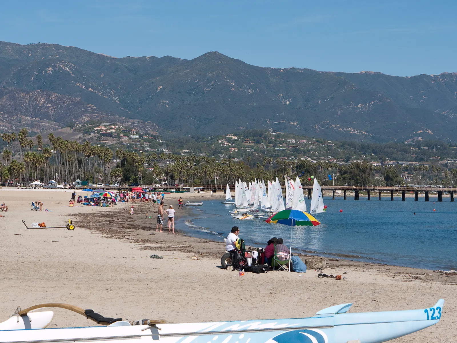
Photo: Roc0ast3r, Wikimedia Commons, CC0
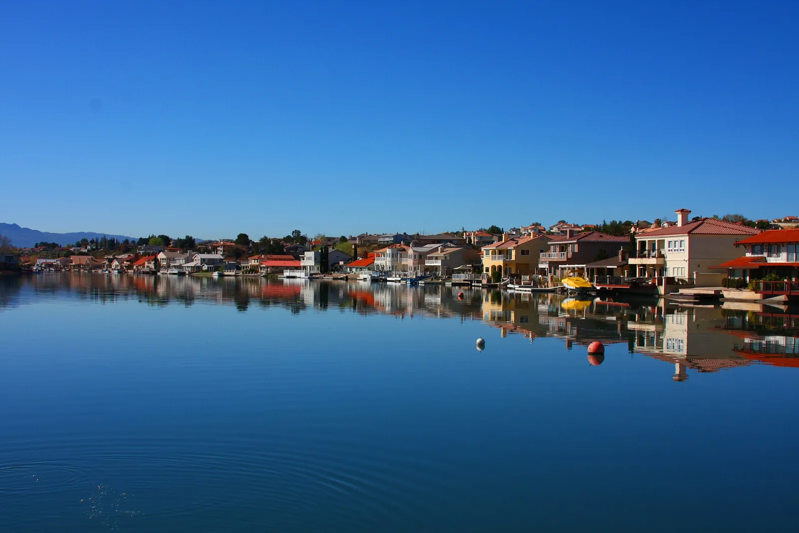
Photo: J.smith, Wikimedia Commons, CC BY-SA 3.0

Photo: Michael Grindstaff of Sacramento, CA, edited by Fir0002, Wikimedia Commons, Public domain

Photo: Sydchrismom, Wikimedia Commons, CC BY-SA 4.0

Photo: Dicklyon, Wikimedia Commons, CC BY-SA 4.0

Photo: Ligocsicnarf89, Wikimedia Commons, CC0