WiserMap — Choose wisely. Connect locally.Choose wisely. Connect locally.Add your business

Columbia River Gorge

No reviews yetCanyon Oregon, United States
Columbia River Gorge, Oregon, United States Vista House was completed in 1918 as a rest stop and observatory on the Historic Columbia River Highway, Columbia River Gorge, Oregon Latourell Falls plunges over basalt columns close to the western end of the Gorge, Columbia River Gorge, Oregon Bonneville Lock and Dam was completed in the late 1930s and includes fish ladders with underwater viewing windows, Columbia River Gorge, Oregon Punch Bowl Falls is the most popular destination on the Eagle Creek Trail, Columbia River Gorge, Oregon

About Columbia River Gorge

The Columbia River Gorge is a canyon cut through the Cascade Range by the Columbia River, forming the border between Oregon and Washington just east of Portland. Basalt cliffs rise steeply from the water, and the western end is wet and densely forested while the eastern stretch turns dry, open and golden. Ice Age floods shaped much of the landscape, and the area is protected as a National Scenic Area.

The Historic Columbia River Highway, an early twentieth-century scenic road, links many of the classic stops. Vista House at Crown Point gives a sweeping first look up the river, and the waterfall corridor beyond includes Latourell Falls, Wahkeena and Horsetail Falls, and the two-tiered Multnomah Falls, the gorge's best-known sight. Farther east, Bonneville Lock and Dam has fish ladders where migrating salmon can sometimes be seen, and Eagle Creek Trail leads to the pool at Punch Bowl Falls. Cascade Locks sits beside the Bridge of the Gods.

The gorge works well as a day trip from Portland or as a slower base around Hood River, a town known for windsurfing, kiteboarding and the orchard and farm-stand circuit called the Fruit Loop. The Mosier Twin Tunnels make an easy walk or bike ride, and the Tom McCall Preserve at Rowena Crest fills with wildflowers in spring. Waterfalls run strongest in winter and spring.

Best seasonSpring brings full waterfalls and wildflowers at Rowena; fall adds orchard harvests around Hood River.
Ideal stayA full day covers the waterfall corridor; two or three days allow hiking and time in Hood River.
ArrivingMost visitors start from Portland International Airport and drive east on Interstate 84 or the historic highway.
Columbia River Gorge Oregon Multnomah Falls and Hood RiverWiserMap travel guideColumbia River Gorge Oregon Multnomah Falls and Hood RiverPlan a Columbia River Gorge trip: Multnomah Falls permits, Vista House, Eagle Creek, Bonneville Dam, Hood River's Fruit Loop, wildflower hikes and travel tips.Read the guide

Columbia River Gorge Has So Much to Discover: 12 Highlights

Viewpoints 2

Vista House at Crown Point, Columbia River Gorge, Oregon, United States

Vista House at Crown Point

An octagonal stone building from 1918 perched on a cliff high above the Columbia River along the Historic Columbia River Highway....
Rowena Crest and the Tom McCall Preserve, Columbia River Gorge, Oregon, United States

Rowena Crest and the Tom McCall Preserve

Rowena Crest is a viewpoint above the looping curves of the historic highway in the drier eastern Gorge. Next to it, the Tom McCal...

Waterfalls 3

Latourell Falls, Columbia River Gorge, Oregon, United States

Latourell Falls

A tall, single-plunge waterfall that drops over a basalt cliff covered in bright yellow-green lichen, just off the Historic Columb...
Multnomah Falls and Benson Bridge, Columbia River Gorge, Oregon, United States

Multnomah Falls and Benson Bridge

The tallest waterfall in Oregon, dropping in two tiers with the graceful Benson Bridge spanning the lower falls. The historic 1925...
Wahkeena and Horsetail Falls, Columbia River Gorge, Oregon, United States

Wahkeena and Horsetail Falls

Two more beautiful waterfalls along the Historic Columbia River Highway. Wahkeena Falls tumbles down a series of cascades, and a l...

Landmarks 2

Bonneville Lock and Dam, Columbia River Gorge, Oregon, United States

Bonneville Lock and Dam

A hydroelectric dam on the Columbia River completed in the 1930s, with visitor centers where you can watch salmon and other fish c...
Cascade Locks and the Bridge of the Gods, Columbia River Gorge, Oregon, United States

Cascade Locks and the Bridge of the Gods

Cascade Locks is a small river town named for old navigation locks. The Bridge of the Gods, a steel toll bridge to Washington, is...

Hikes 4

Eagle Creek Trail and Punch Bowl Falls, Columbia River Gorge, Oregon, United States

Eagle Creek Trail and Punch Bowl Falls

A classic Gorge hike that follows Eagle Creek along cliffside ledges, some with cables for handholds, past several waterfalls. Abo...
Mosier Twin Tunnels, Columbia River Gorge, Oregon, United States

Mosier Twin Tunnels

A car-free section of the Historic Columbia River Highway between Hood River and Mosier, now a paved trail for walkers and cyclist...
Beacon Rock, across the river, Columbia River Gorge, Oregon, United States

Beacon Rock, across the river

A huge volcanic rock on the Washington side of the river, the core of an ancient volcano. A narrow trail with many switchbacks, ha...
Dog Mountain Trail, Columbia River Gorge, Oregon, United States

Dog Mountain Trail

A steep and popular hike on the Washington side of the Gorge that climbs about 2,800 feet to open meadows covered in yellow balsam...

Towns 1

Hood River and the Fruit Loop, Columbia River Gorge, Oregon, United States

Hood River and the Fruit Loop

Hood River is a lively town known as a world capital of windsurfing and kiteboarding, with breweries, cafes and shops. The Fruit L...

Reviews

No reviews yet. Been to Columbia River Gorge? Be the first to share your experience.

Write a review

Share what you loved, what to skip and tips for other travelers.

Log in to write a review

Share your photos

Been to Columbia River Gorge? Add your best shots to the gallery.

Log in to add photos

More places in Oregon

See all places in United States →

Photo credits

Photo: King of Hearts, Wikimedia Commons, CC BY-SA 4.0

Photo: King of Hearts, Wikimedia Commons, CC BY-SA 4.0

Photo: PJ Blalock, Wikimedia Commons, Public domain

Photo: U.S. Army Corps of Engineers, Wikimedia Commons, Public domain

Photo: Gary Halvorson, Oregon State Archives, Wikimedia Commons, CC BY 4.0

Photo: Chris Light, Wikimedia Commons, CC BY-SA 4.0

Photo: LordBoreal51 at English Wikipedia, Wikimedia Commons, CC BY-SA 3.0

Photo: Oregon Department of Transportation, Wikimedia Commons, CC BY 2.0

Photo: Chris Light, Wikimedia Commons, CC BY-SA 4.0

Photo: Unknown author, Wikimedia Commons, CC BY-SA 3.0

Photo: Jim Semlor www.semlorimages.com, Wikimedia Commons, Public domain

Photo: Williamborg 05:37, 1 October 2006 (UTC), Wikimedia Commons, CC BY-SA 3.0

Photo: Rocketstove, Wikimedia Commons, CC BY 3.0

Photo: Walter Siegmund (talk), Wikimedia Commons, CC BY-SA 3.0

Photo: Karthikc123, Wikimedia Commons, CC BY-SA 3.0

Photo: Spenmac (talk) (Uploads), Wikimedia Commons, Public domain

Photo: Blue Ice at English Wikipedia, Wikimedia Commons, Public domain

Photo: Richardmouser, Wikimedia Commons, CC BY-SA 4.0

Photo: Jeff Gunn from Atlanta, USA, Wikimedia Commons, CC BY 2.0

Photo: Jay Huang from Pleasanton, USA, Wikimedia Commons, CC BY 2.0

Photo: m01229 from USA, Wikimedia Commons, CC BY-SA 2.0

Photo: inkknife_2000 (7.5 million views +), Wikimedia Commons, CC BY-SA 2.0

Photo: Angelus Commercial Studio, Portland, Oregon, Wikimedia Commons, Public domain

Photo: King of Hearts, Wikimedia Commons, CC BY-SA 4.0

Photo: Forest Service Pacific Northwest Region, Wikimedia Commons, Public domain

Photo: Forest Service Pacific Northwest Region, Wikimedia Commons, Public domain
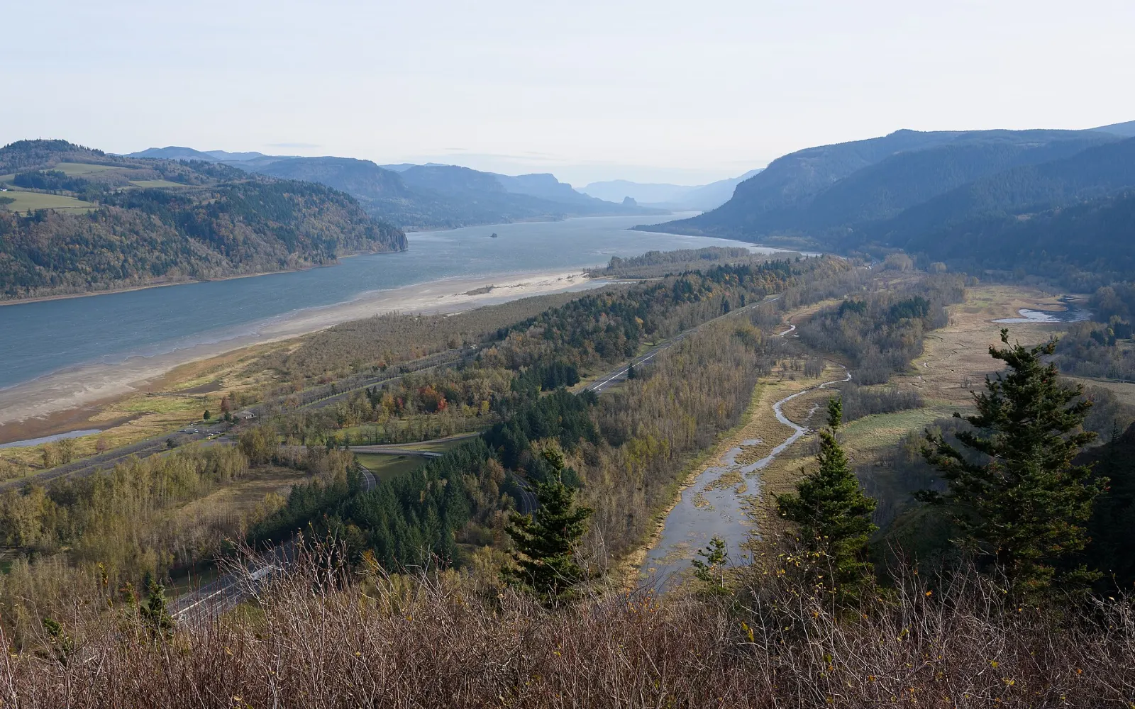
Photo: Forest Service Pacific Northwest Region, Wikimedia Commons, Public domain
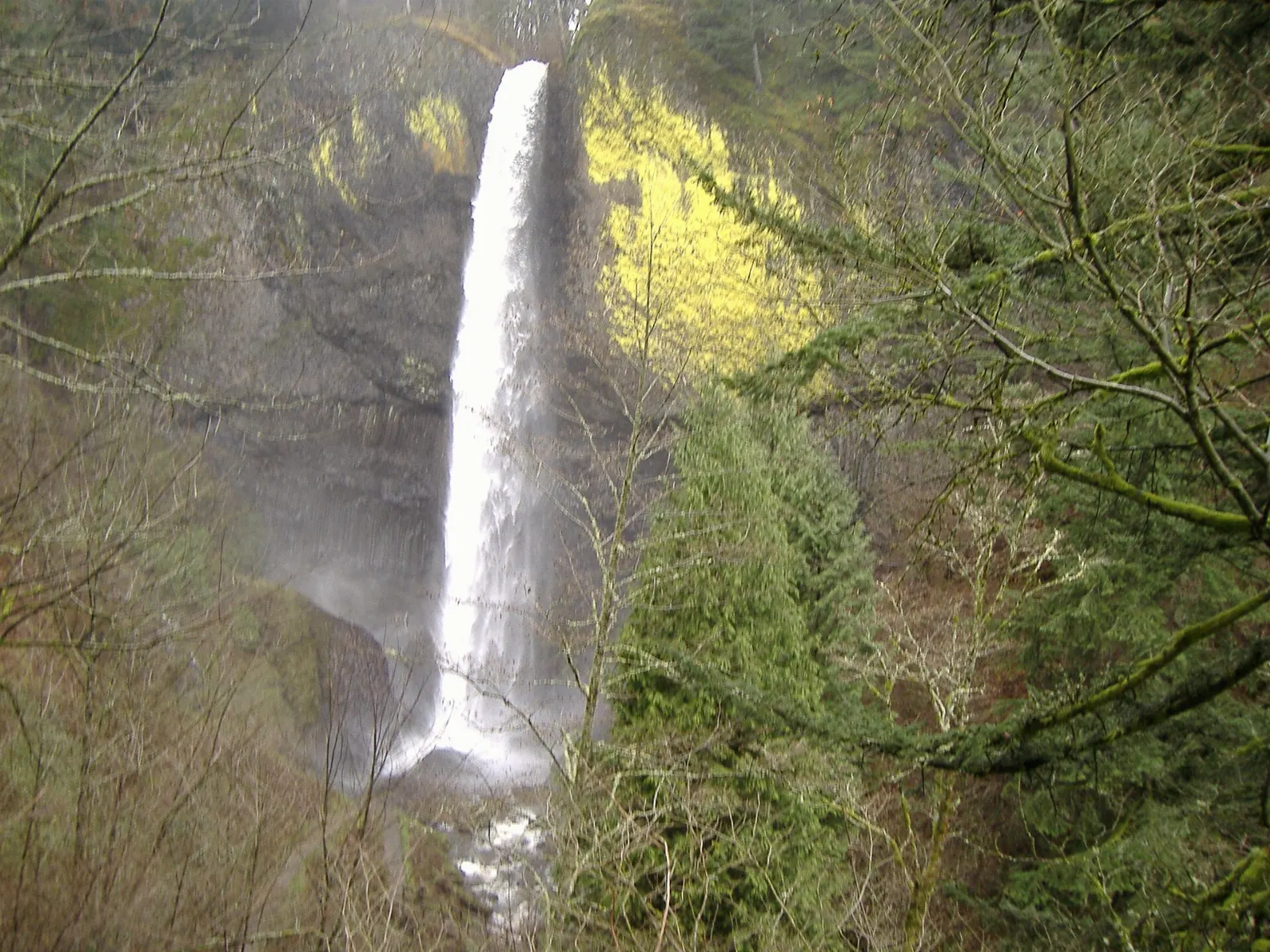
Photo: King of Hearts, Wikimedia Commons, CC BY-SA 4.0

Photo: Slinkyo, Wikimedia Commons, CC0

Photo: Forest Service Pacific Northwest Region, Wikimedia Commons, Public domain
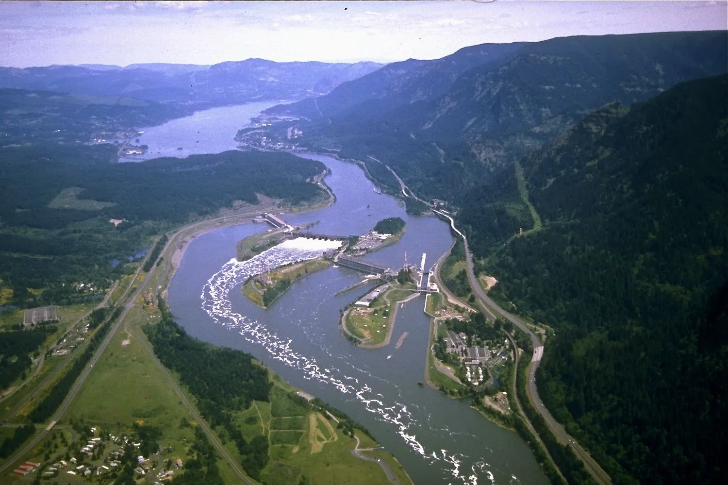
Photo: Forest Service Pacific Northwest Region, Wikimedia Commons, Public domain
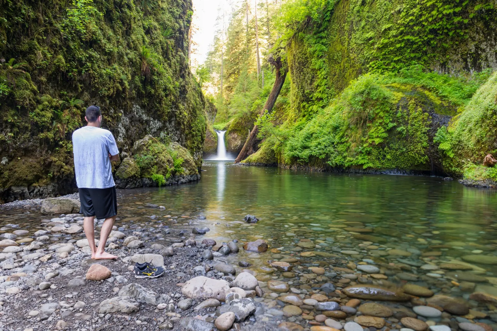
Photo: Bonnie Moreland from Oregon, United States, Wikimedia Commons, Public domain
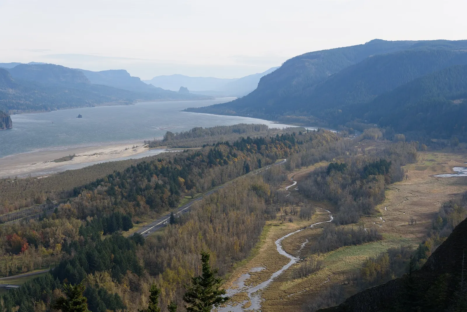
Photo: Ken Lund from Reno, Nevada, USA, Wikimedia Commons, CC BY-SA 2.0

Photo: GonzalezMan4011, Wikimedia Commons, CC BY-SA 4.0

Photo: GonzalezMan4011, Wikimedia Commons, CC BY-SA 4.0

Photo: Angelus Commercial Studio, Portland, Oregon, Wikimedia Commons, Public domain
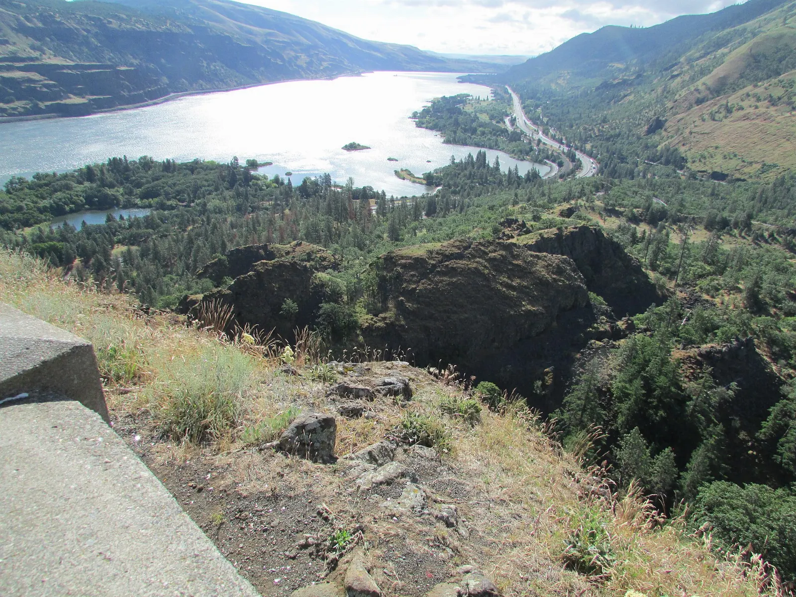
Photo: No machine-readable author provided. DMinutive assumed (based on copyright claim, Wikimedia Commons, Public domain
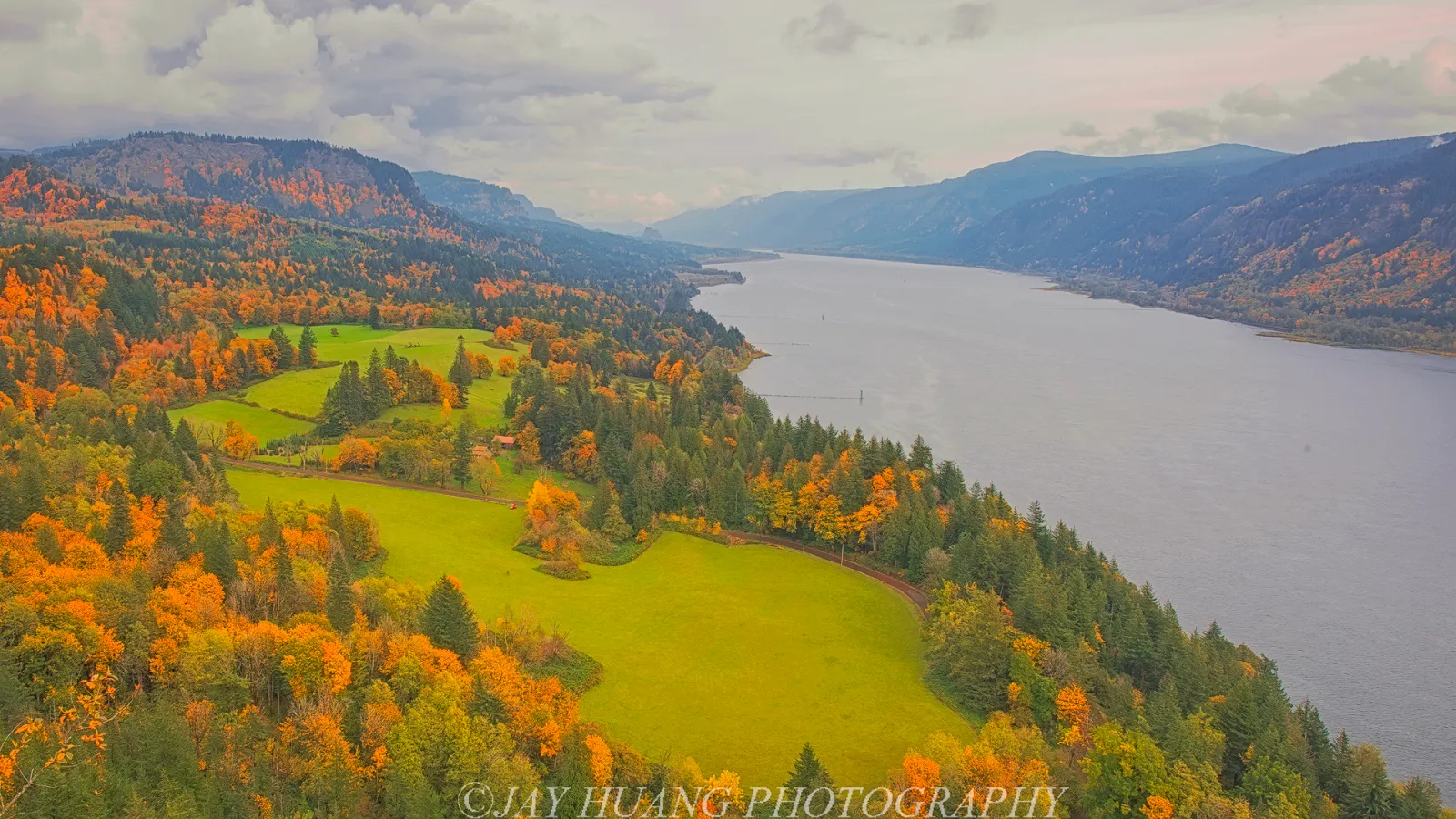
Photo: Gary Halvorson, Oregon State Archives, Wikimedia Commons, CC BY 4.0

Photo: Gary Halvorson, Oregon State Archives, Wikimedia Commons, CC BY 4.0

Photo: Gary Halvorson, Oregon State Archives, Wikimedia Commons, CC BY 4.0

Photo: King of Hearts, Wikimedia Commons, CC BY-SA 4.0

Photo: Don Graham from Redlands, CA, USA - God bless it!, Wikimedia Commons, CC BY-SA 2.0

Photo: Gary Halvorson, Oregon State Archives, Wikimedia Commons, CC BY 4.0

Photo: David Falconer, Wikimedia Commons, Public domain
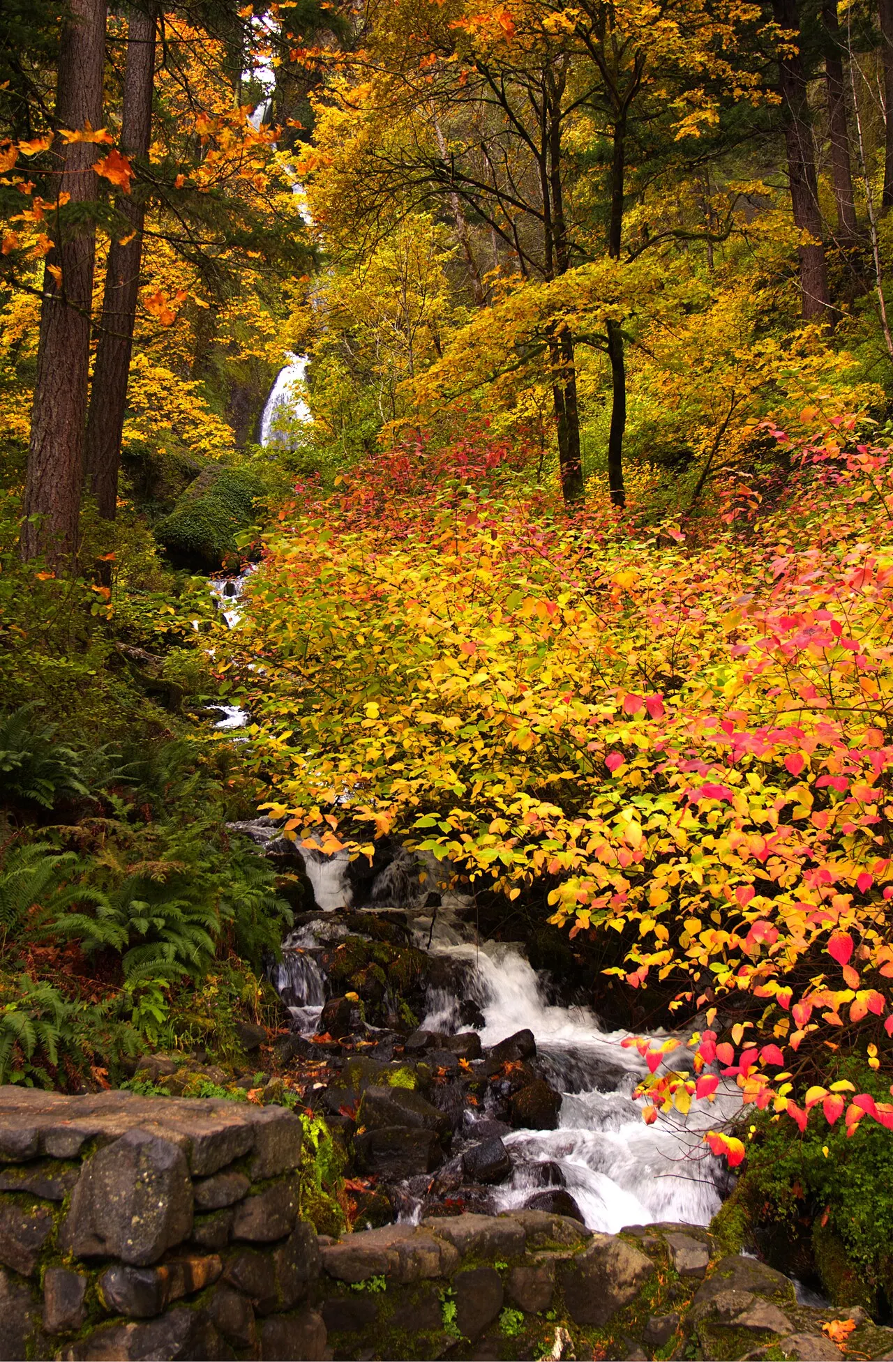
Photo: Rizka, Wikimedia Commons, CC BY-SA 4.0

Photo: Bonnie Moreland from Oregon, United States, Wikimedia Commons, Public domain
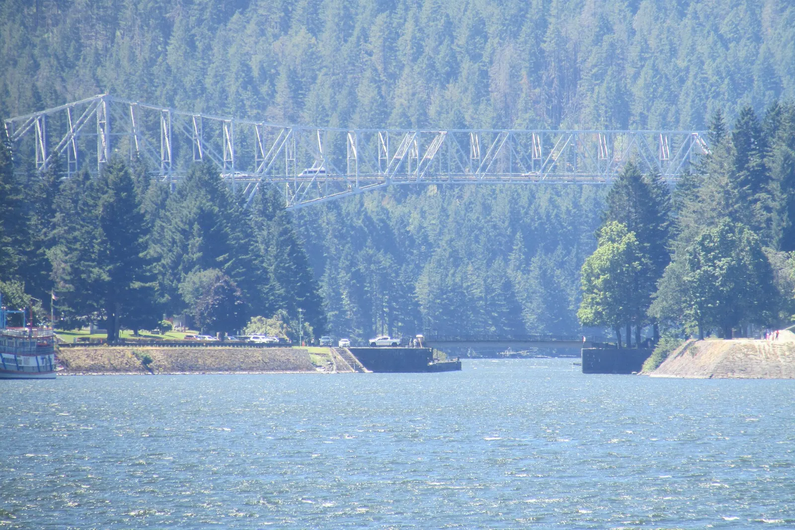
Photo: Bonnie Moreland from Oregon, United States, Wikimedia Commons, Public domain
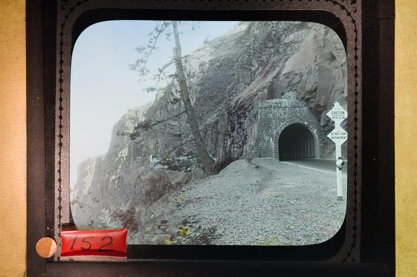
Photo: Forest Service Pacific Northwest Region, Wikimedia Commons, Public domain
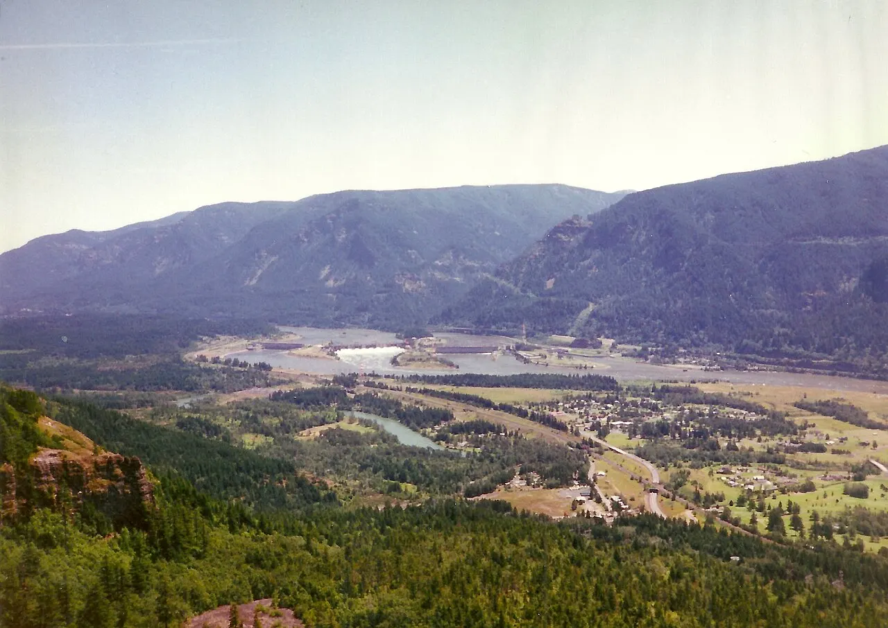
Photo: Forest Service Pacific Northwest Region, Wikimedia Commons, Public domain
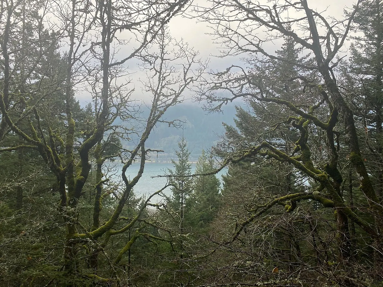
Photo: Forest Service Pacific Northwest Region, Wikimedia Commons, Public domain
Photo: U.S. Forest Service- Pacific Northwest Region, Wikimedia Commons, Public domain
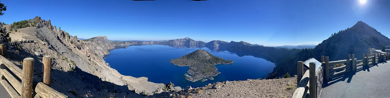
Photo: Gary Halvorson, Oregon State Archives, Wikimedia Commons, CC BY 4.0

Photo: Gary Halvorson, Oregon State Archives, Wikimedia Commons, CC BY 4.0

Photo: Gary Halvorson, Oregon State Archives, Wikimedia Commons, CC BY 4.0

Photo: Gary Halvorson, Oregon State Archives, Wikimedia Commons, CC BY 4.0

Photo: Kingofthedead, Wikimedia Commons, CC BY-SA 4.0

Photo: WelshDave, Wikimedia Commons, CC BY-SA 4.0

Photo: Forest Service Pacific Northwest Region, Wikimedia Commons, Public domain