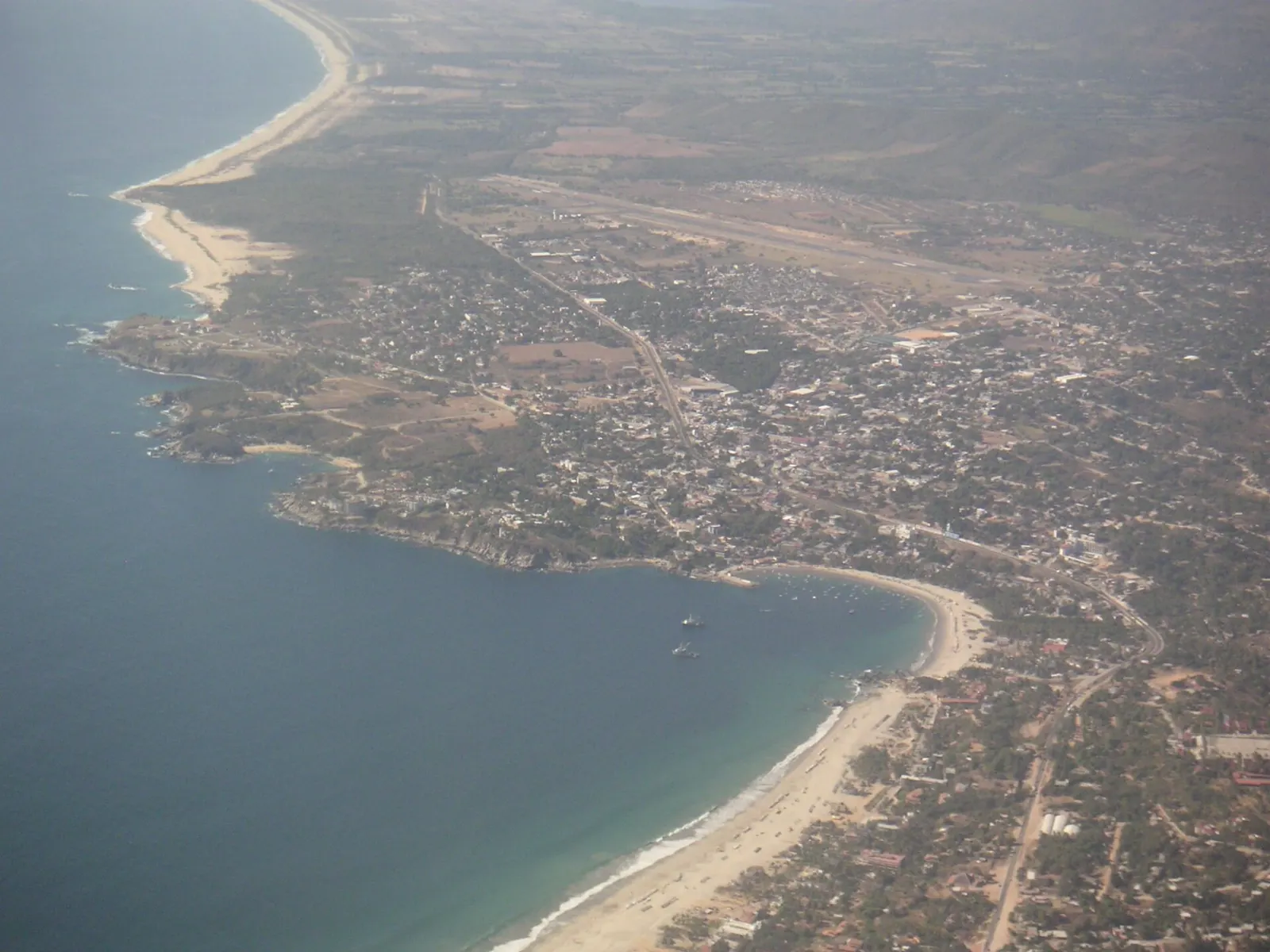
The Sierra Norte is the forested mountain country north of Oaxaca City, where Highway 175 climbs out of the Central Valleys into pine, oak and cloud forest.
AT A GLANCE
Best time
The drier months from late autumn to spring suit hiking, and the high villages stay cool all year.
How long
Allow two to three days, or longer if you plan to walk between villages.
Getting there
Take the road or a bus from Oaxaca City along Highway 175 toward Tuxtepec.
Why visit the Sierra Norte
The Sierra Norte de Oaxaca lies about 62 km from Oaxaca City on Federal Highway 175, heading east toward Tuxtepec.
It counts among the best-preserved natural areas in Mexico, with around 400 bird species, 350 butterfly species and seven of the country's nine native vegetation types. Community enterprises offer cabins, camping, guides, hiking and mountain-biking trails, horseback riding, bird-watching and cave exploration, so your money stays in the villages that protect the forest.
Ixtlán and the high villages
Ixtlán de Juárez
Ixtlán is the political and economic center of the region, about 65 km north of Oaxaca City on Highway 175. It has been a base for ecotourism for years, with tours run from the village and trails that link it to neighboring communities.
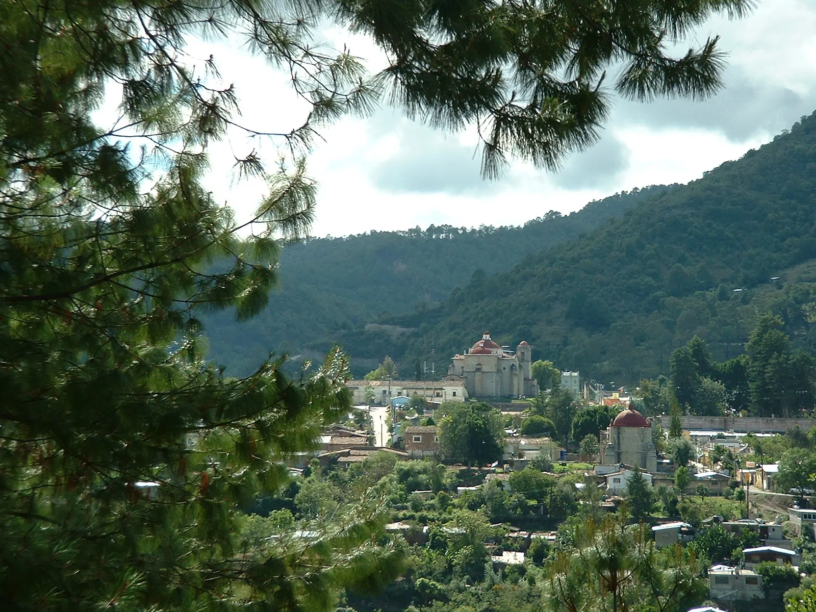
Church of Santo Tomás Apóstol
The baroque church in Ixtlán is known for its portals, facades and sculpture. Allow half an hour to look at the stonework and the interior.
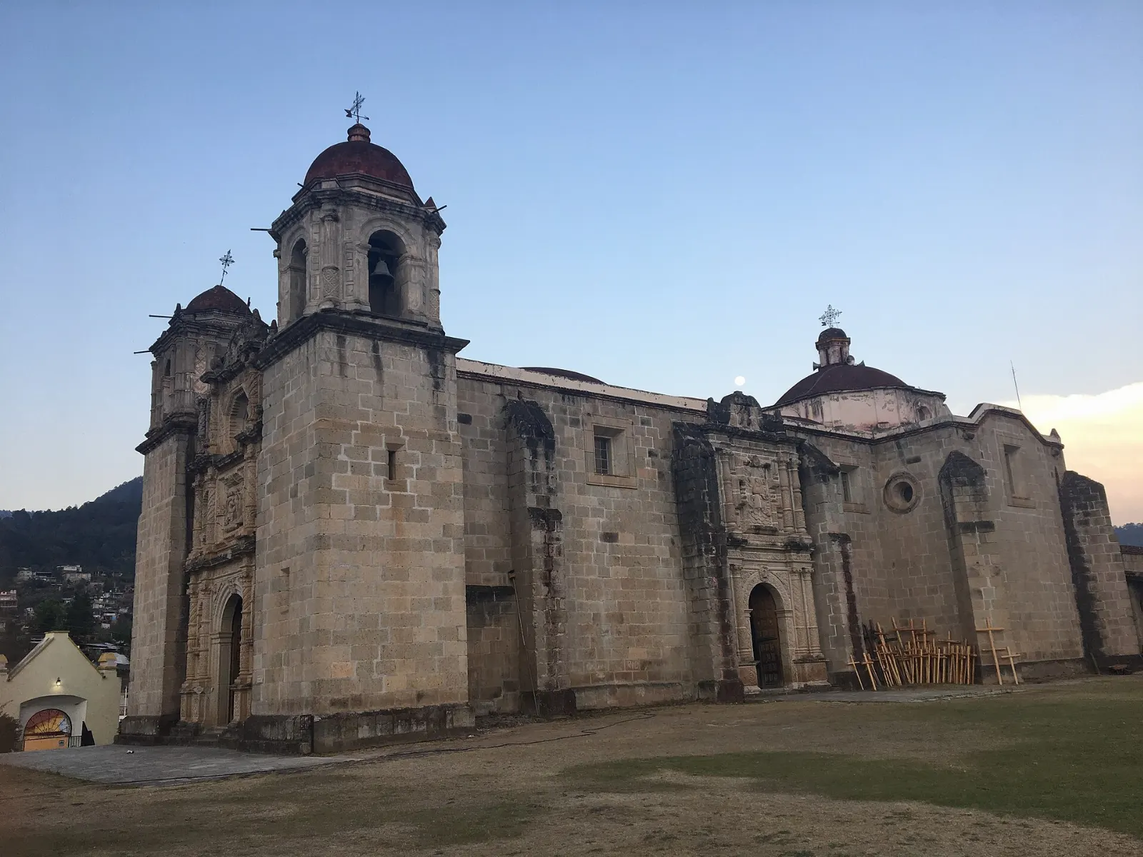
Capulálpam de Méndez
Capulálpam sits at about 2,040 meters in a high mountain valley, roughly 9 km east of Ixtlán, and its name means land of the chokecherry tree in Nahuatl. The climate is cool and wet, so bring a layer even in a sunny season.
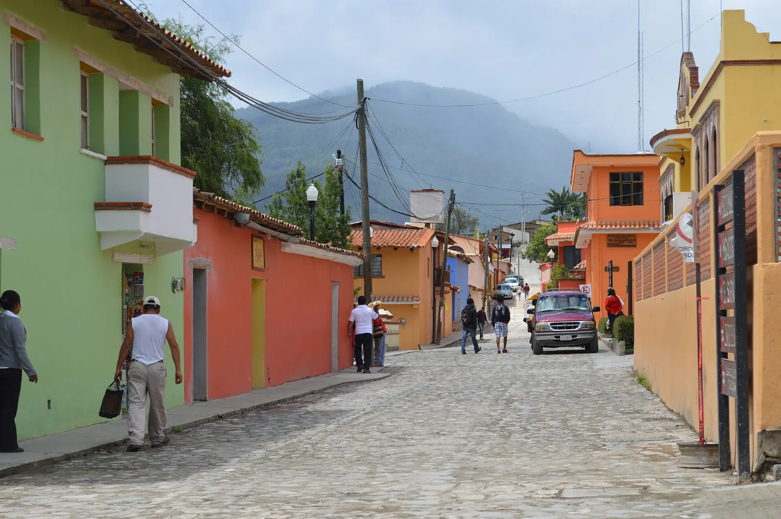
Church of San Mateo
This 16th-century church is lined with large, ornate hand-carved scenes dating from the 16th and 17th centuries. The altars are good examples of Mexican Baroque style.
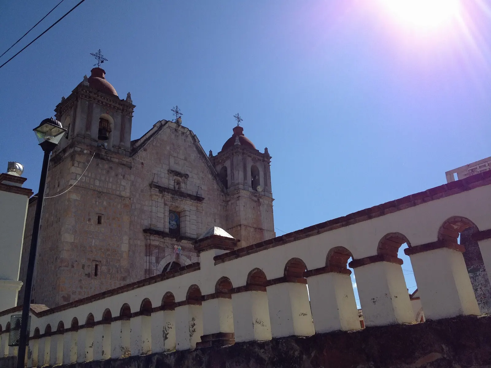
Traditional Medicine Center
Capulálpam has a center for indigenous traditional medicine, sponsored by the health ministry and open to the public. Healers offer herbal remedies, massage, ritual cleansings and temazcal, a sweat lodge that uses fire, air, water and earth.
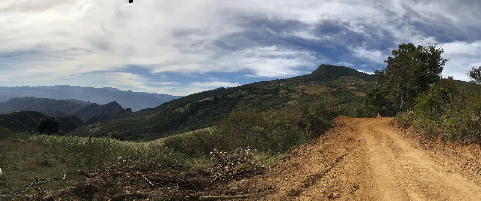
Forests, trails and Juárez country
Guelatao de Juárez
Guelatao lies roughly 4 km from Ixtlán and about 55 km north of Oaxaca City.
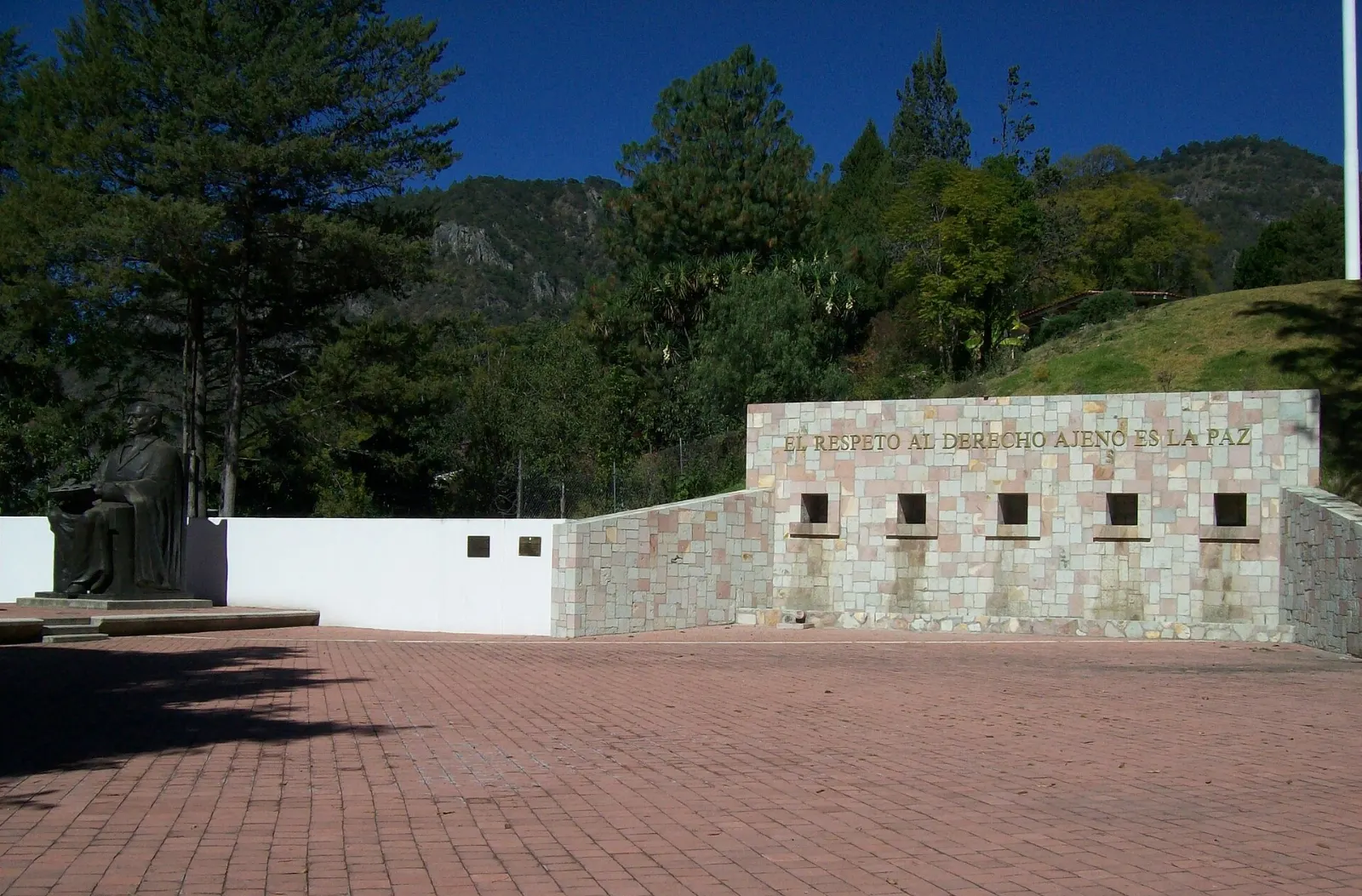
Pueblos Mancomunados trails
The Pueblos Mancomunados is a cooperative of Zapotec communities that runs sustainable tourism, with eight villages offering guest cabins and local hosts.
Birds and butterflies
Bird-watchers should plan early mornings on forest edges and trails. Local guides know where to find the species the region is known for, and cave exploration is also offered by some enterprises.
Villa Alta district
The Villa Alta district has 25 municipalities and is home to most of the region's Zapotec population, who call themselves the bene xon. The roads are remote, so go with a guide or a clear plan.
Mixe district
The Mixe district, with 17 municipalities, is the third of the region's districts. It is a place to learn about Mixe culture rather than to tick off sights, so give yourself time and travel with local contacts where possible.
Food and local flavors
Oaxacan food is among the most varied in Mexico, and mountain kitchens add their own touches.
Mole negro is the best-known of the state's famous moles, a dark, slightly sweet sauce made with several chilies, chocolate and nuts. Pair it with a smoky mezcal, since most of Mexico's mezcal comes from Oaxaca.
Village comedores serve home cooking, and the markets of Oaxaca City are good places to eat before you head up the mountain.

Popular dishes to try in Sierra Norte


Where to stay
Ixtlán de Juárez suits visitors who want a practical base, with tour operators in the village, forest trails nearby and Highway 175 buses passing through. It works well for first-time visitors who plan to join guided outings.
Capulálpam de Méndez is the better choice for a slower stay.
Oaxaca City is the easiest option if you prefer city comforts, restaurants and a wider choice of lodging, and it is the usual starting point for day trips north.
For a deeper experience, community cabins and camping are available through local enterprises. Book ahead for weekends and holidays.

Where to stay in Sierra Norte


Best time to visit
The mountains are cool and often wet, so the drier months from late autumn through spring give the clearest views and the most reliable hiking. Nights at altitude can be cold at any time of year, so pack warm layers and rain gear.
The rainy season brings green forest and mist but also muddy trails and road delays. Weekends and public holidays can be busier in Capulálpam and Ixtlán.
Getting there and getting around
Fly into Oaxaca's Xoxocotlán International Airport, in the southern suburbs of Oaxaca City, or arrive by bus or car.
Buses connect Oaxaca and Veracruz along the same highway and serve the main villages. Colectivos and local taxis cover the shorter hops.
If you drive, take it slowly on mountain curves and avoid driving after dark. Fuel up in Oaxaca City or Ixtlán before heading into the remoter areas, and confirm road conditions in the rainy season.
A suggested itinerary
First day
Leave Oaxaca City in the morning and follow Highway 175 to Guelatao for the Benito Juárez museum.
Second day
Head to Capulálpam de Méndez, visit the church of San Mateo and spend the afternoon at the Traditional Medicine Center.
Third day
Join a guided forest walk or a section of the Pueblos Mancomunados trails, then return to Oaxaca City in the late afternoon.
Practical tips
- Check your government's current travel advisory before you go.
- Pack warm layers and rain protection, since the high villages are cool and often wet.
- Arrange guides and cabins through local cooperatives and enterprises so the income stays in the communities.
- Carry cash, since small villages may not accept cards.
- Ask permission before photographing people, churches and ceremonies.
- Allow extra time for mountain roads and for buses that run to local schedules.