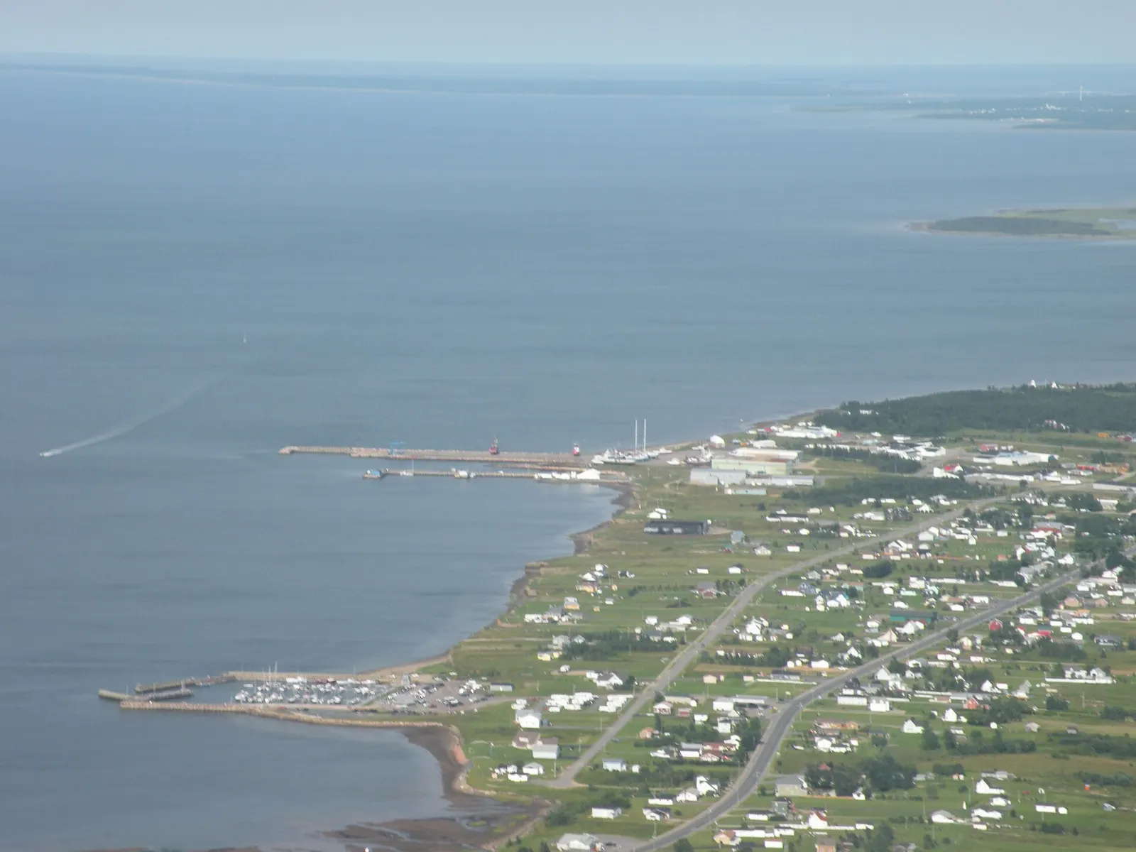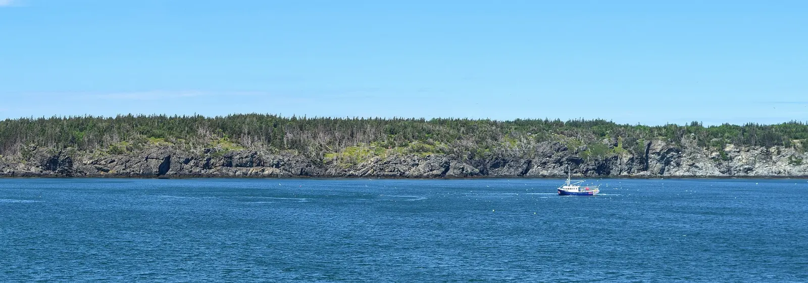
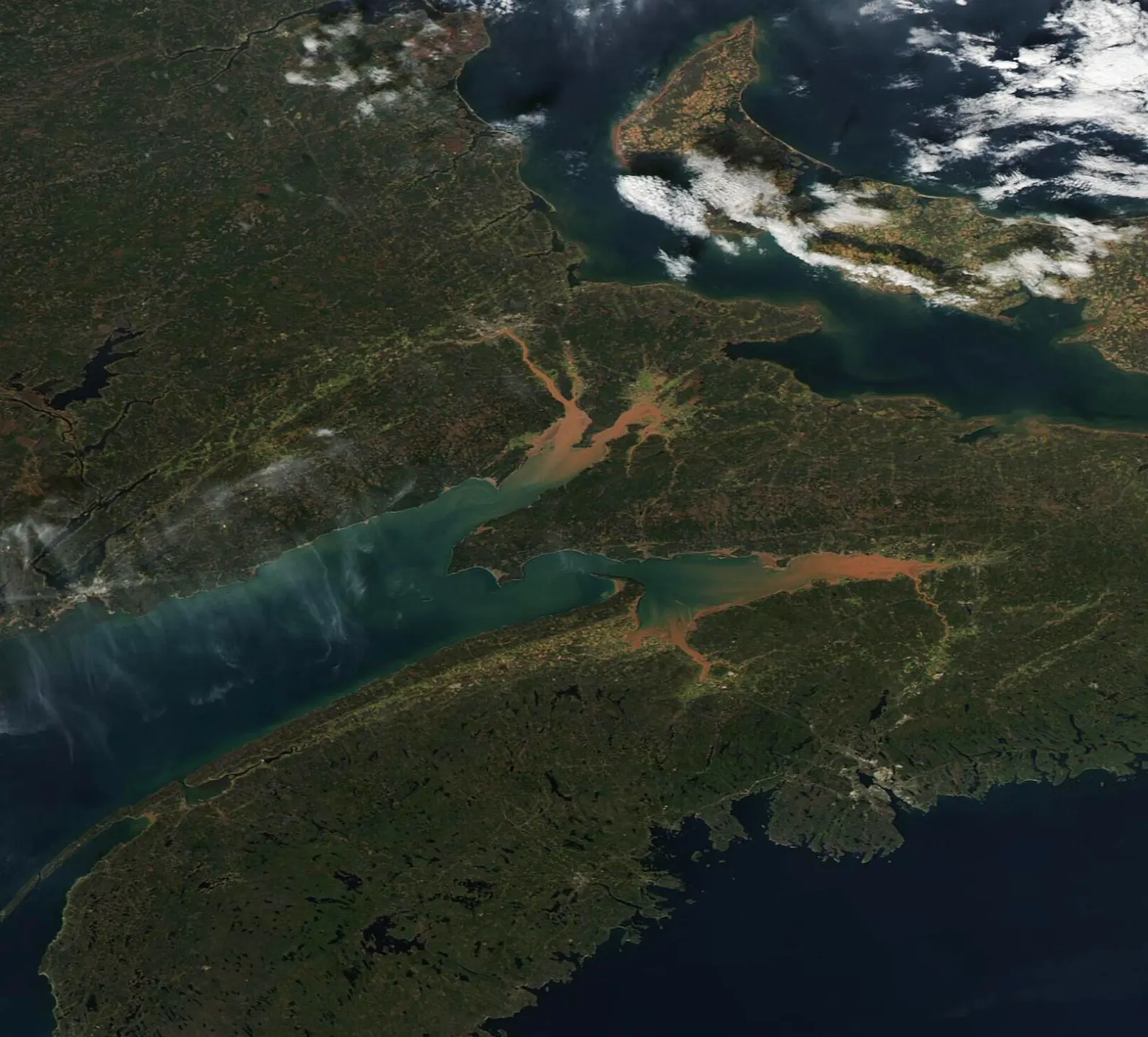
Fundy National Park sits on the Bay of Fundy in southern New Brunswick, where the highest tides in the world carve a rugged coastline backed by forested uplands. The park covers about 207 square kilometres, with more than twenty-five waterfalls and trails for every level.
AT A GLANCE
Best time
Summer and early autumn bring the best weather for trails and tides.
How long
Two to three days lets you hike, watch the tides and visit Alma.
Getting there
Drive to Alma, the village beside the park headquarters, from Moncton or Saint John.
Why visit Fundy National Park
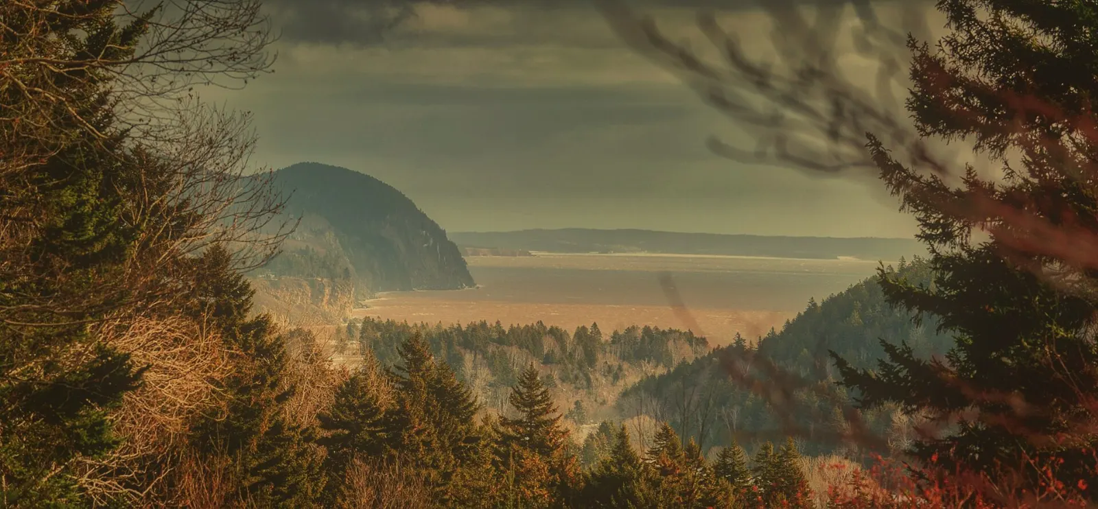
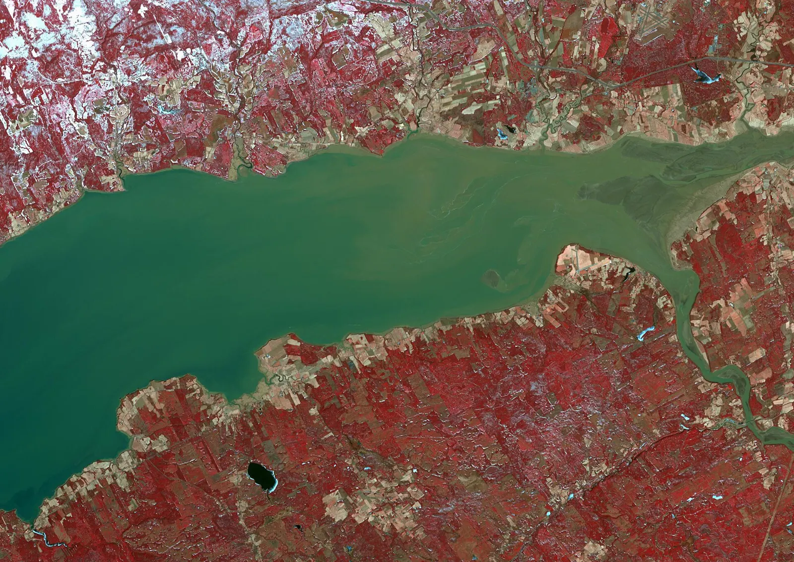
The park lies along Goose Bay, a branch of the Bay of Fundy, and on a clear day you can see the coast of Nova Scotia across the water. Its forests include some of the last pure stands of red spruce in eastern North America, along with bogs, rivers and hardwood slopes. The Broad, Point Wolfe and Upper Salmon rivers flow through the park, and rare plants such as bird’s-eye primrose grow along the coastal cliffs.
The tides are the main draw. At low tide you can walk across the ocean floor, and at high tide the same spot lies under roughly fifteen metres of water.
The tides and the coast
Alma and the tidal harbour
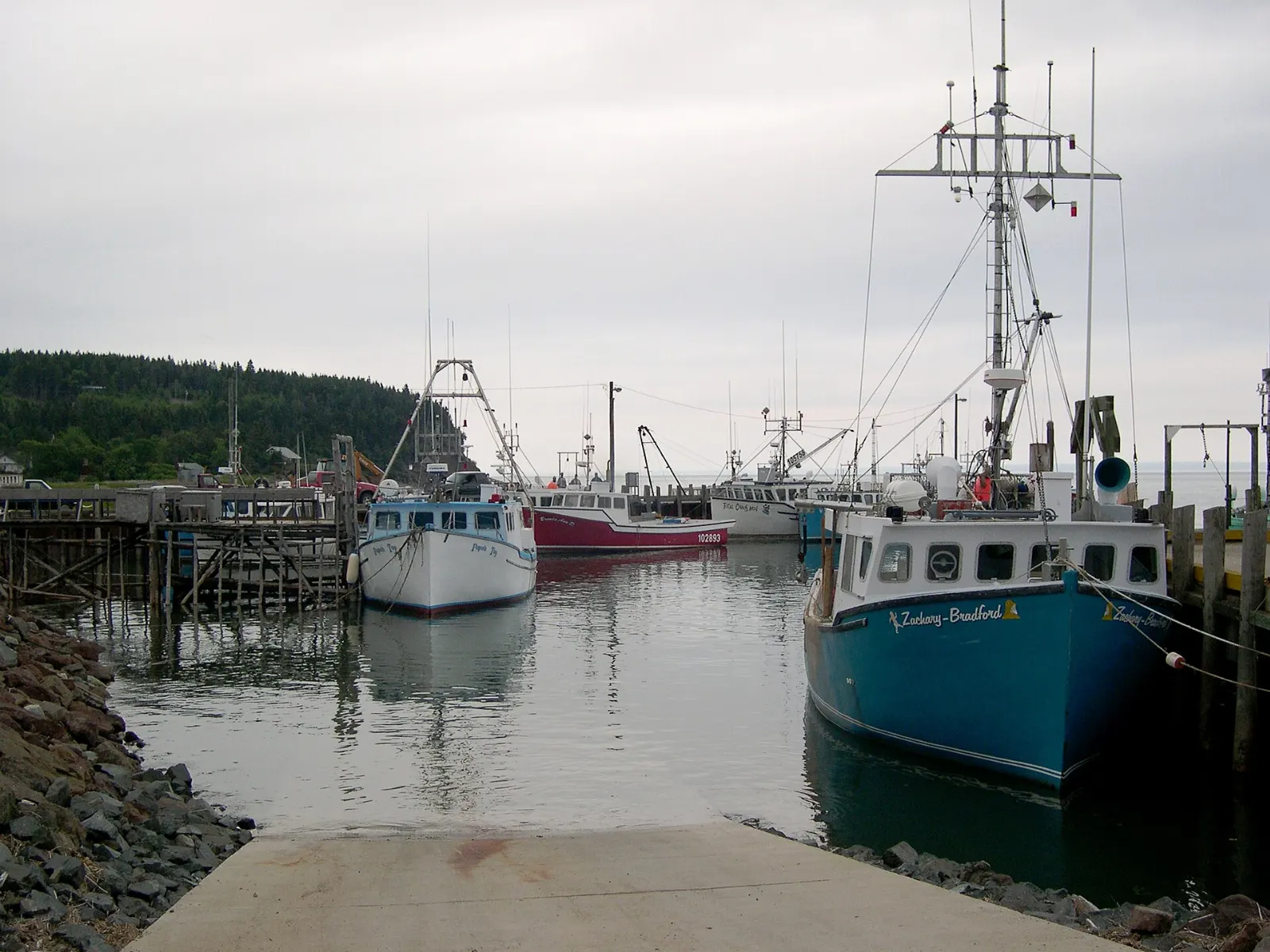
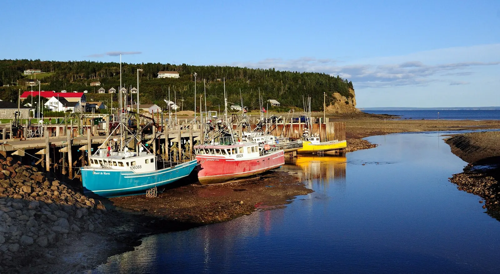
The village of Alma sits at the park's eastern edge, where the Upper Salmon River and Cleveland Brook meet Salisbury Bay. Boats rest on the mud at low tide and float again hours later. Check tide tables at the park office to time a waterfront walk, The park headquarters is in Alma West, so it is the natural place to collect maps and advice, and pass the monument to Molly Kool, the first woman in the Western world to earn a master mariner's certificate.
Walking the ocean floor
At low tide you can explore the exposed seabed and see creatures such as dog whelks, periwinkles and seaweeds clinging to the rocks. Watch the clock carefully and leave well before the water returns, because the tide comes in quickly.
High tide and kayaking
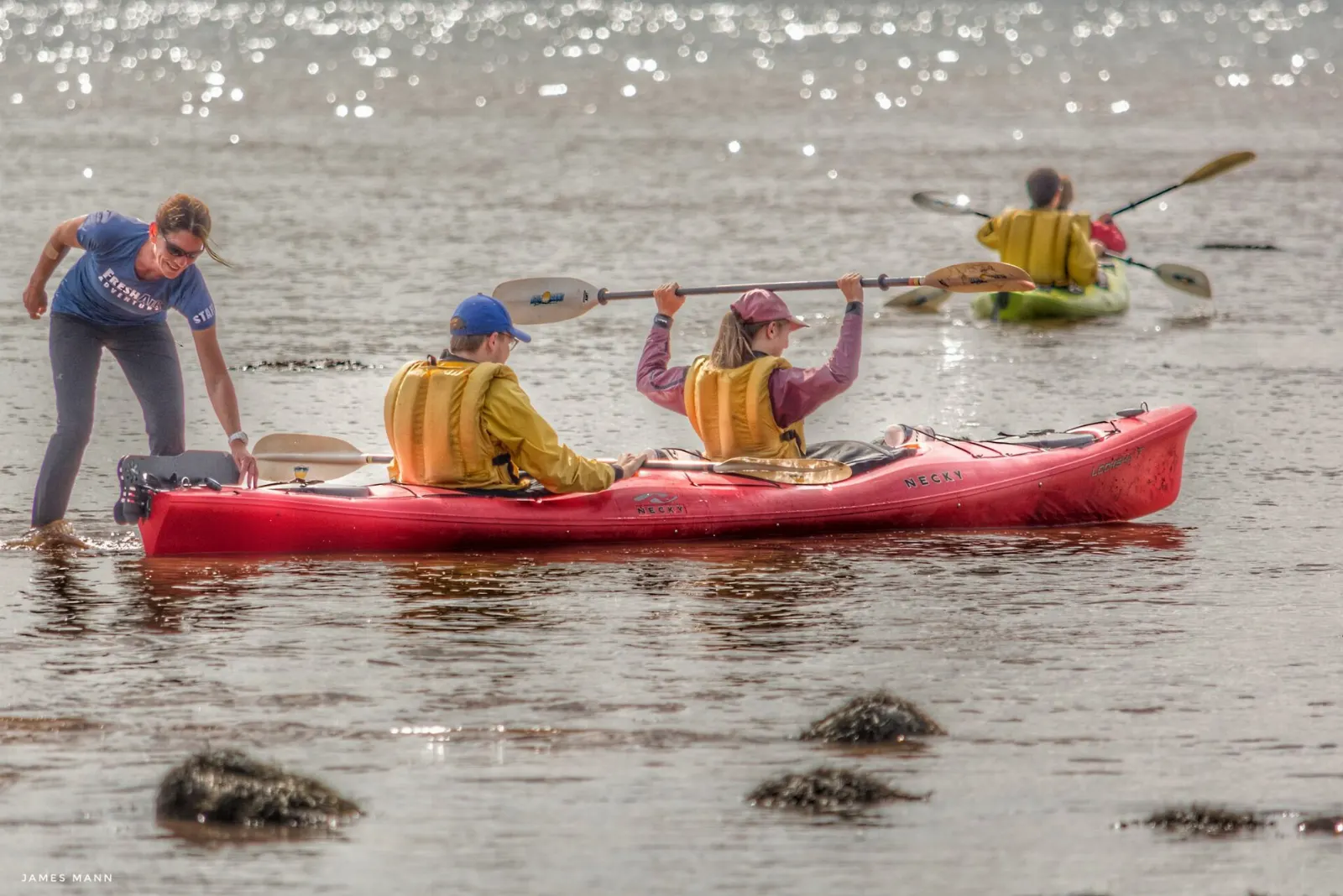
Paddlers can kayak as the water rises by up to twelve metres or more. Guided outings are the safest way to try this, as currents and tides change throughout the day.
Trails, falls and forest
Dickson Falls
Dickson Falls is the most popular trail in the park. It is often busy in summer, so go early. The path leads through a damp forest to a waterfall and makes a good first stop. Stay on the boardwalks and stairs to protect the vegetation.
Point Wolfe and the covered bridge
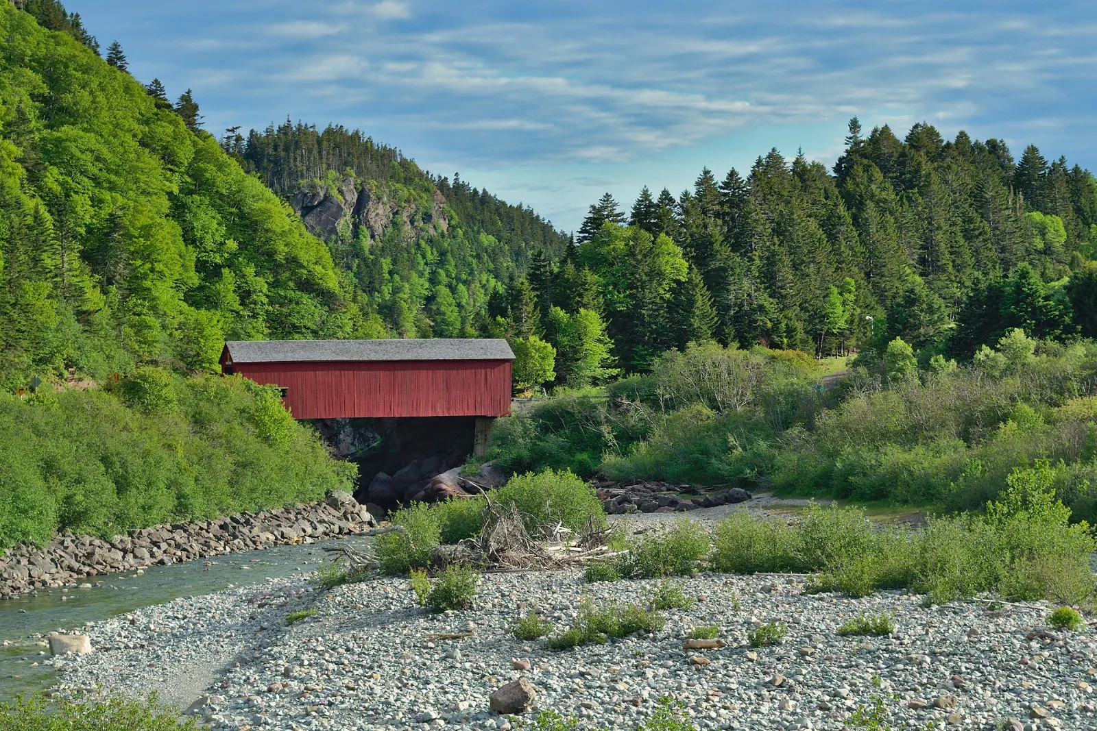
Point Wolfe was once a thriving settlement based on fishing, sawmills and shipbuilding. Today a unique red-painted covered bridge marks the spot, and it makes an easy photo stop on the road to the coast.
Caribou Plain
The Caribou Plain trail and boardwalk cross upland forest and a bog, where carnivorous pitcher plants, sundews and bladderworts grow. Allow an hour or two, and bring insect repellent in early summer. The bog supports black spruce and eastern larch over thick sphagnum moss, a very different scene from the coast.
Dobson Trail and Fundy Footpath
These long routes extend beyond the park. The Dobson Trail runs toward Riverview, and the Fundy Footpath heads to St. Martins. Both are for experienced, well-prepared hikers, Both pass through remote terrain and need good planning, a map and enough food and water, so they are for experienced, well-prepared hikers, and some backcountry use requires registration.
Backcountry and rivers
Backcountry camping requires registration. Park scientists monitor species such as the endangered Inner Bay of Fundy Atlantic salmon, brook trout and eel, so follow any posted rules around rivers.
Golf, pool and campgrounds
The park has a golf course, a heated saltwater swimming pool, three campgrounds and more than a hundred kilometres of hiking and biking trails. Check operating dates in advance, as services run seasonally.
Wildlife
Moose, black bears, white-tailed deer, coyotes and beavers live in the park, while birds include peregrine falcons, great blue herons and pileated woodpeckers. Early morning and dusk give the best chances, and you should keep a safe distance from all animals.
Beyond the park
Hopewell Rocks
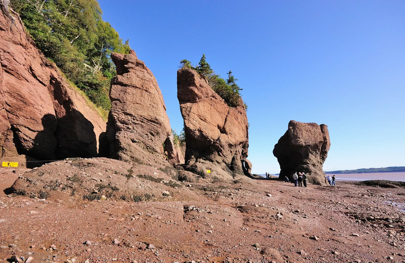
These red-brown sea stacks stand about twelve to twenty-one metres tall at Hopewell Cape and are covered at the base by water twice a day. Visitors are advised to stay for a full tidal cycle to see both views. It is a short drive from Alma, so it suits a half-day trip. Part of Elephant Rock collapsed in 2016, a reminder that the cliffs keep changing.
Fundy Trail Parkway
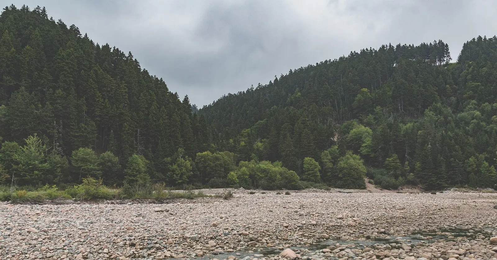
The Fundy Trail near St. Martins offers coastal lookouts along the bay. A rock formation there collapsed in 2022, so follow signs and closures.
Winter in the park
In winter the park is open for day use at your own risk. Cross-country ski trails are groomed by the local Chignecto Ski Club, and visitors also snowshoe, toboggan and walk.
A short history
The Mi'kmaq and Maliseet peoples once used the area, and Scottish, Irish and English settlers arrived in the 1800s. Logging and small shipyards shaped the coast until the park opened in 1950, after which many former residents moved to Alma.
 Planning a trip to Fundy National Park?Compare hotels, flights and vacation rentals for Fundy National Park on Expedia.Book now
Food and local flavors
Alma is a working fishing village, and lobster and scallops are the main catch from its tidal harbour. Look for lobster on menus at local restaurants and seafood shops, and for scallops cooked simply with butter.
In late spring, fiddleheads, the young coiled shoots of ferns, appear as a seasonal New Brunswick vegetable. There are no restaurants deep inside the park, so plan to eat in Alma or pack a picnic for the trails. Bring a cooler if you plan to buy seafood to take home.
Popular dishes to try in Fundy National Park


Where to stay
Alma is the most convenient base. It sits beside park headquarters, has restaurants and shops, and lets you walk to the waterfront. It suits families and first-time visitors who want amenities near the trails.
Inside the park you can camp in three campgrounds, or stay in rustic cabins, oTENTik tents and yurts. Reserve early for summer weekends. Cabin and yurt availability changes by season, so check dates on the Parks Canada reservation page.
Hopewell Cape is a good option for travelers who want to see the Hopewell Rocks first thing in the morning, while Riverside-Albert offers a quieter village stay. Both suit those combining the park with a longer road trip along the bay.
Where to stay in Fundy National Park


Best time to visit
Summer is the most popular season, when the park runs its full services and trails are dry. The area has cool, wet summers on the coast and warmer weather inland, so pack layers in all seasons.
Autumn brings color in the maple and birch forests and fewer crowds. Winter is for day use only, with cross-country skiing, snowshoeing and tobogganing at your own risk. Spring can be muddy and wet, and some facilities open late. Check the official site for seasonal closures. Parks Canada posts current conditions for trails and services.
Getting there and getting around
Fundy National Park is near the village of Alma in Albert County, New Brunswick. Most visitors drive, taking Route 114 from Moncton, which also has the nearest large airport. Saint John is another gateway for travelers coming from the west.
There is no regular public transport to the park, so a car is the practical choice. Inside the park, roads link Alma with Point Wolfe and trailheads, and parking lots sit near the main trails.
A park entry fee applies, and annual passes are available. Confirm current fees, vehicle rules and fishing permits on the Parks Canada website before you travel.
A suggested itinerary
First day
Arrive in Alma, visit the park office, walk the waterfront at low tide and hike Dickson Falls.
Second day
Visit Point Wolfe, then the Caribou Plain boardwalk, and finish with a paddle or an evening at the coast. Pack a picnic for the trail.
Third day
Drive to Hopewell Rocks, or continue to the Fundy Trail near St. Martins. Allow extra time for tide-dependent viewing.
Practical tips
- Check tide times each day, because they shift by roughly an hour daily.
- Never walk the ocean floor without watching the incoming tide.
- Pack rain gear and layers for changing coastal weather.
- Book campgrounds, cabins and yurts early for summer.
- Carry water and a trail map for longer hikes.
- Keep a safe distance from wildlife such as moose and black bears.
- Cell service can be limited, so download maps beforehand.