On 20 February 1943 a farmer named Dionisio Pulido watched the ground split open in his cornfield in western Michoacán. Within a year a cone of ash and rock stood where his crops had been, and by 1952 Paricutín had grown to 424 metres and buried two villages.
AT A GLANCE
Best time
The dry season from November to April gives the clearest views, while summer rain can make trails muddy.
How long
Allow a full day for the volcano and lava field, and a second day for Uruapan.
Getting there
Drive or take local transport from Uruapan to Angahuan, about 29 km west of the city.
Why visit Paricutín
Paricutín was the first volcano of its kind whose entire life cycle scientists could document, from first rumble to final ash. That alone makes the landscape fascinating, but the human side is just as strong.
The trip also gives you a day in the pine forests of the Michoacán highlands, with views across black lava fields to the cone. Combine it with Uruapan, a lively city with a famous waterside park and some of the region's best regional cooking.
Paricutín is also a place for slow looking rather than ticking off sights.
The volcano and Angahuan
Angahuan
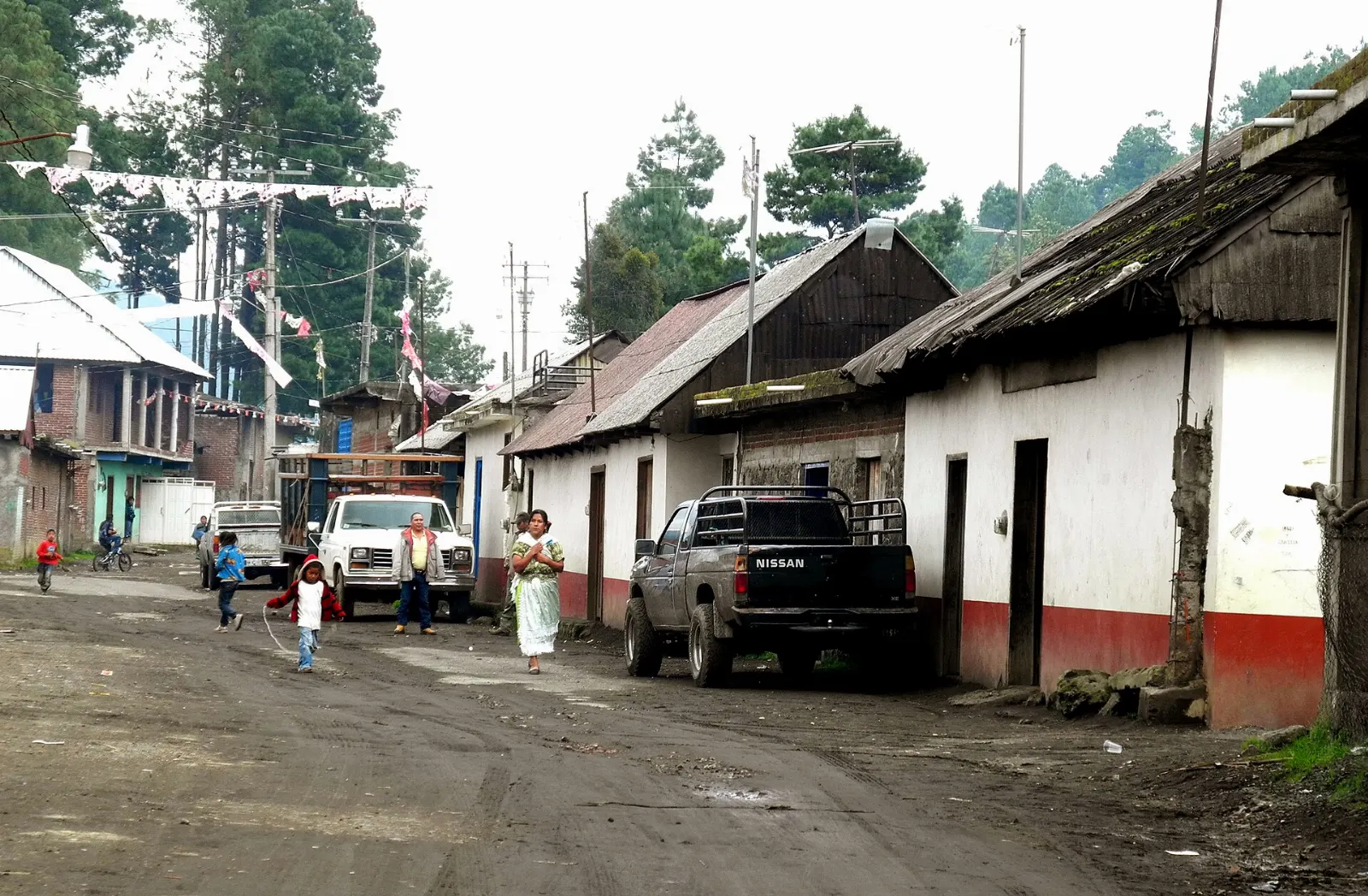
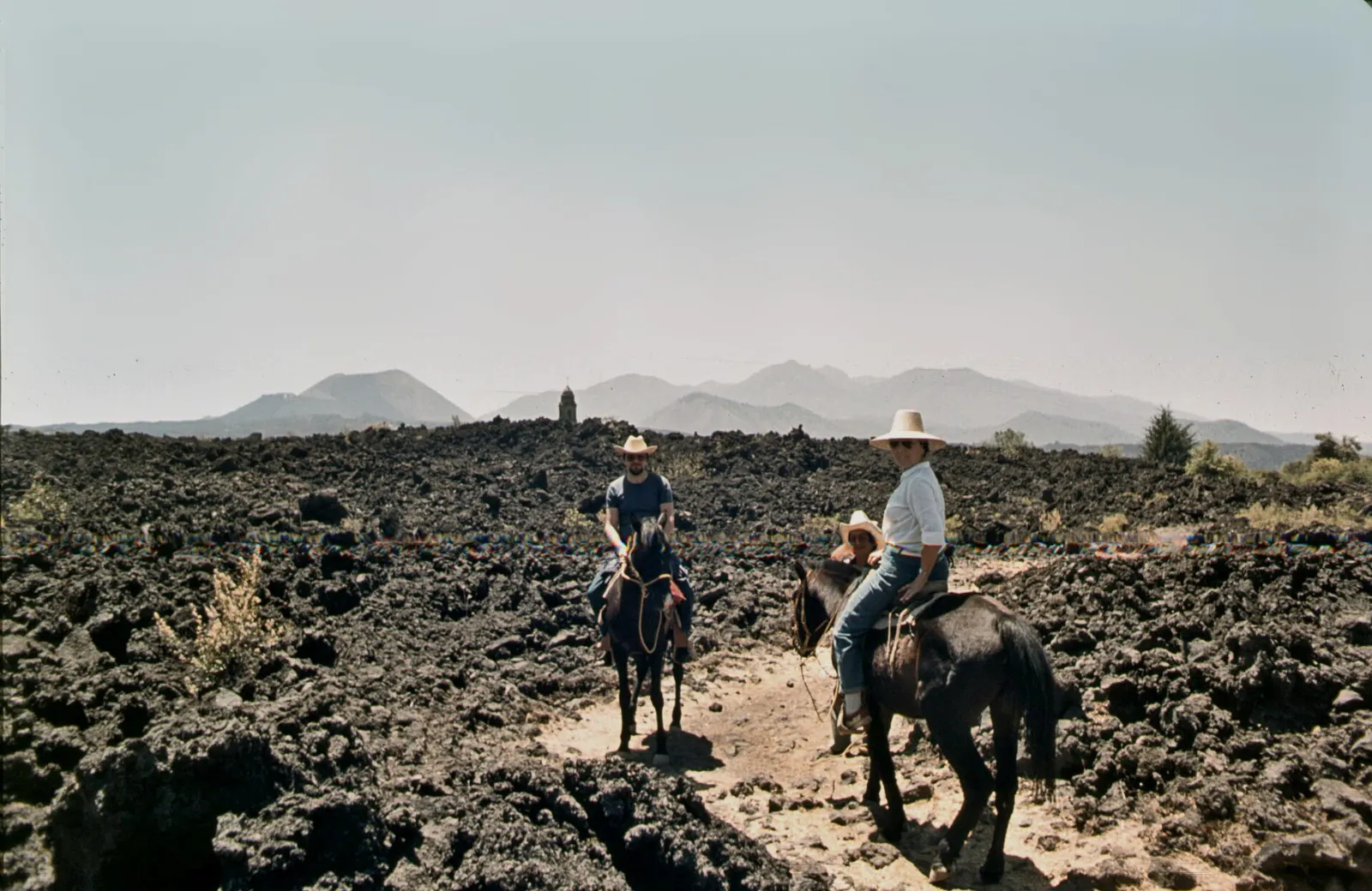
This Purépecha village is the main gateway to the volcano. From the edge of town you can already see the cone and the lava, and local guides and horses are offered for the trip.
Parícutin volcano
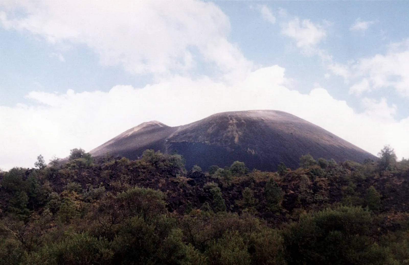
The cone rises about 424 metres above the valley and can be climbed, with a walk around the roughly 200 metre wide crater possible once you reach the top.
The lava field
The journey passes over rough black lava that spread across about 26 square kilometres. Young pines and grasses have begun to push through the rock, and the contrast between dark stone and green forest makes this a rewarding stretch for photographs.
The buried church and the new towns
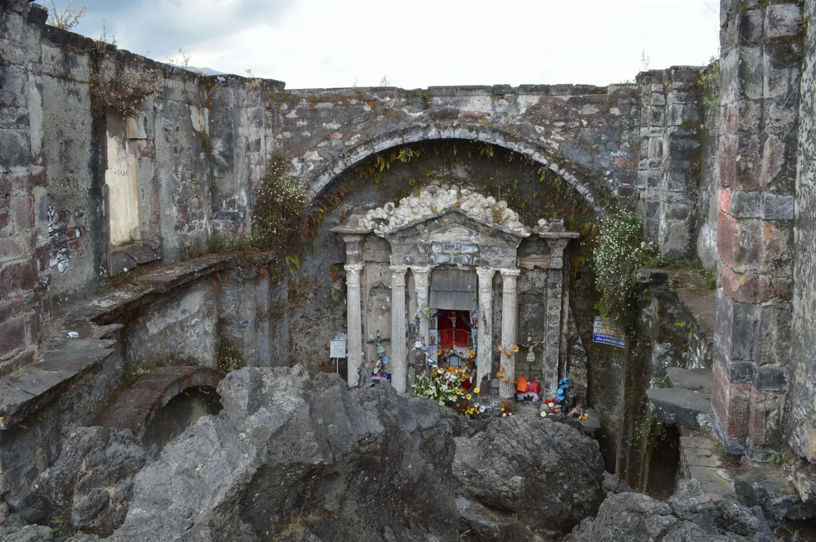
San Juan Parangaricutiro church
The most striking sight is the old church of San Juan Parangaricutiro, which stands partly submerged in hardened lava. Of the town that once had nearly 1,900 residents, only parts of this church remain.
Los Hornitos
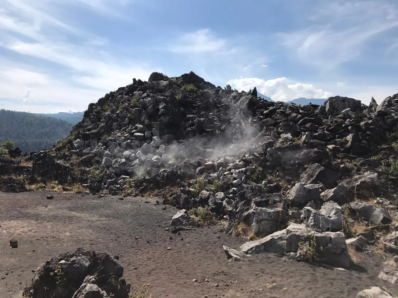
South of the cone lies Los Hornitos, a mesa formed during the third phase of the eruption.
Nuevo San Juan Parangaricutiro
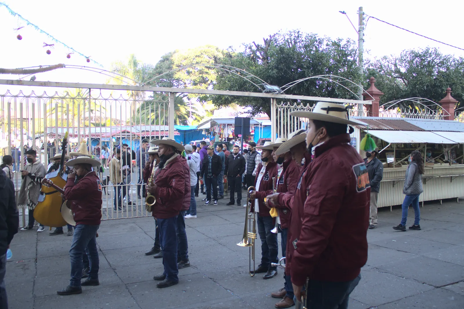
People displaced from the buried town settled in what is now called San Juan Nuevo, which became the municipal seat. A short stop in its plaza shows how the community rebuilt, and you can often find regional crafts and snacks.
Uruapan, the city nearby
Barranca del Cupatitzio National Park
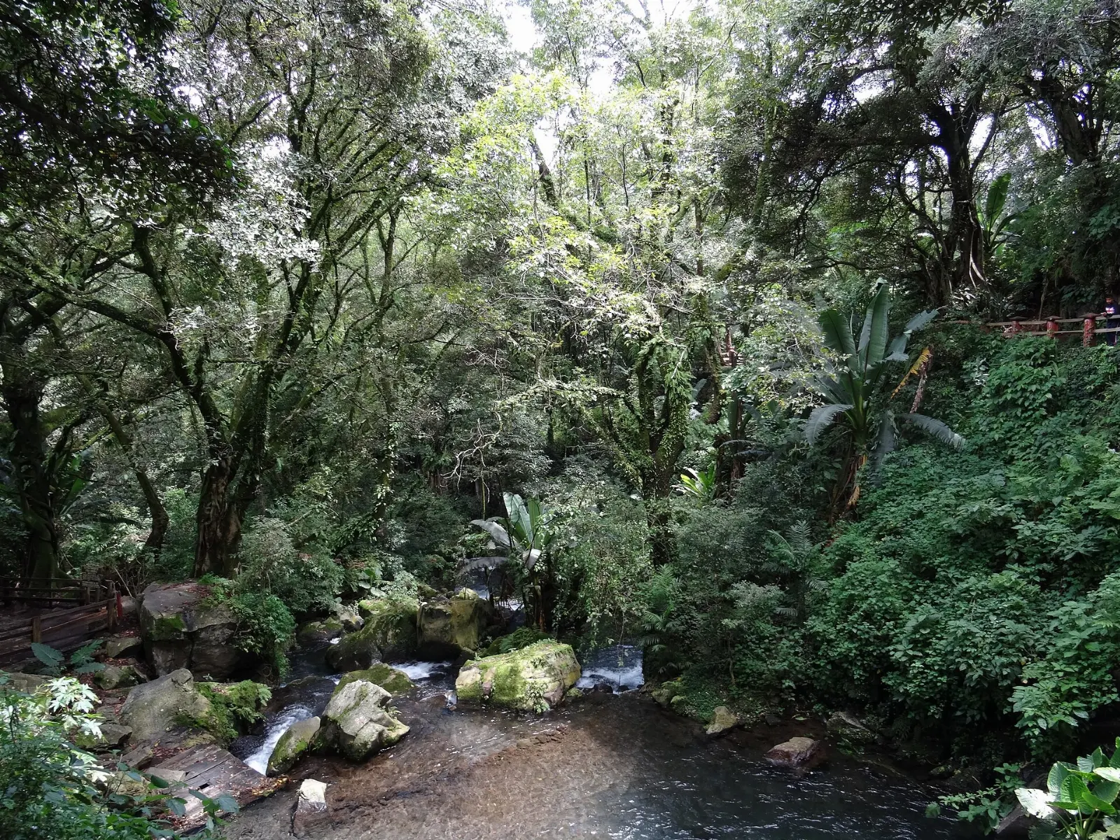
Uruapan's best-known attraction is a national park built around the Cupatitzio stream, with fountains, bridges and tropical vegetation in a cool ravine.
La Huatápera
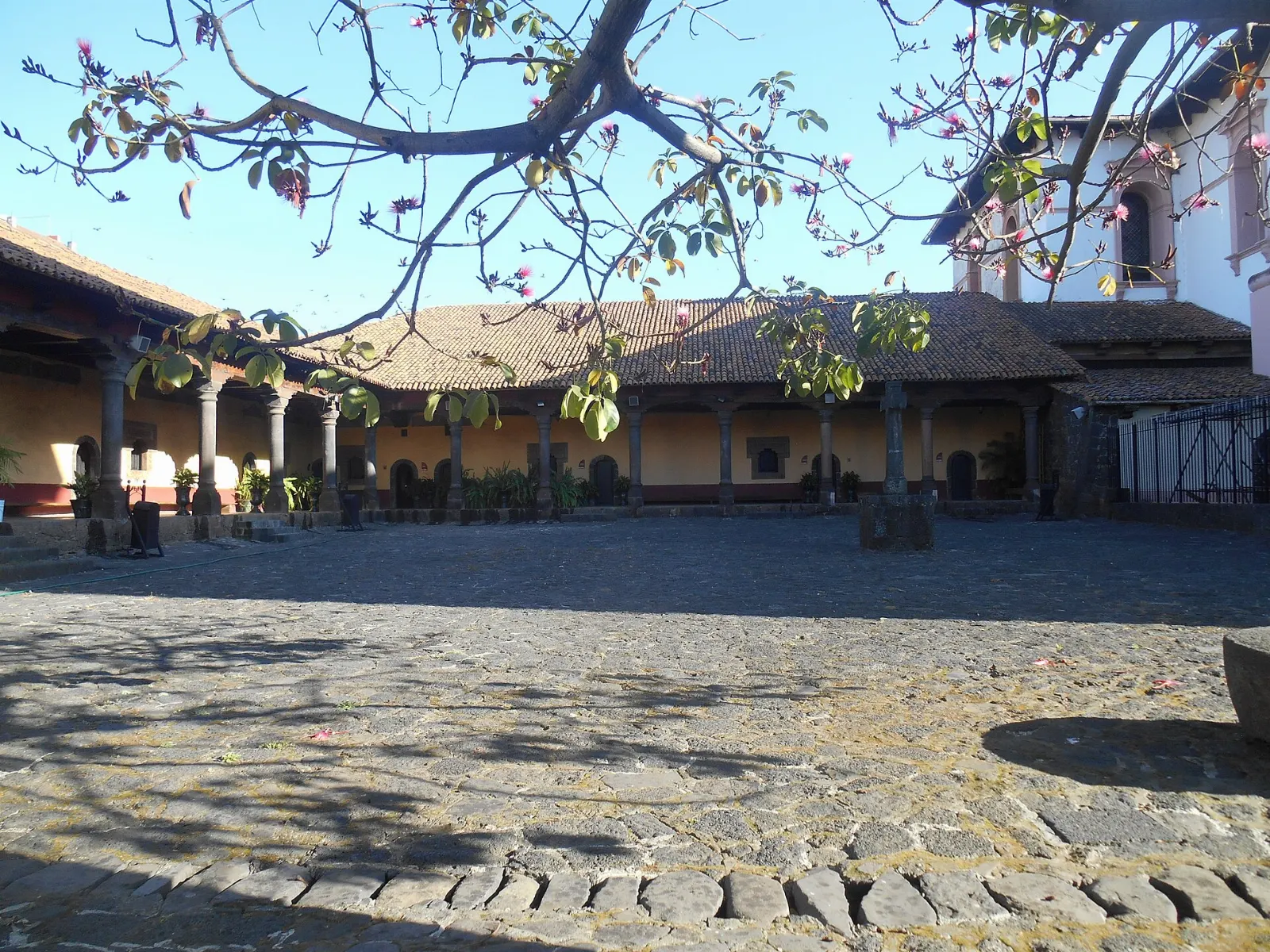
Near the central plaza, this museum building was once a hospital built over a pre-Hispanic platform.
Uruapan market and central streets
The streets around the main plaza are good for browsing local goods and trying regional dishes in small restaurants. It is the easiest place in the area to eat well after a day in the lava.
Food and local flavors
Uruapan's kitchens reflect the many Indigenous and rural traditions of Michoacán. Look for corundas, soft triangular tamales served with cream and salsa, and churipo, a rich beef and vegetable stew that warms you after a cold day in the highlands.
Quesadillas filled with squash flowers are another local favorite, and many stalls serve them with fresh tortillas. Ask for atole or coffee on cool mornings, and sample dishes at small family run places around the plaza rather than relying only on tourist restaurants.

Popular dishes to try in Paricutín


Where to stay
Angahuan is the closest base to the volcano and puts you at the trailheads at first light.
Uruapan offers the broadest choice of guesthouses, hotels and restaurants, and it is the practical base if you want comfort, nightlife or an early flight.
Nuevo San Juan Parangaricutiro is smaller and calmer, with a few places to sleep and easy access to local cooking. It suits visitors who want a quiet stay between the city and the volcano.
Where to stay in Paricutín


Best time to visit
The dry season from roughly November to April offers the most reliable weather for climbing, with clear mornings and cool nights at this altitude. Summer is the rainy season, so trails can be slick and clouds often hide the cone by afternoon.
The eruption began on 20 February, and visiting around that date lets you imagine the first day more vividly, though plans vary and you should check locally.
Getting there and getting around
The volcano lies in the municipality of Nuevo Parangaricutiro, about 29 km west of Uruapan and roughly 322 km west of Mexico City.
From Uruapan, local buses and shared vans run toward Angahuan, and taxis are an easy alternative for small groups. If you drive, the road is paved and the village has parking near the main entrance.
Once in Angahuan, you choose between walking and hiring a horse with a local guide.
A suggested itinerary
First day
Leave Uruapan early for Angahuan, arrange a guide and head across the lava field to the cone and the buried church.
Second day
Spend the morning in Barranca del Cupatitzio National Park and the afternoon at La Huatápera and the central plaza.
Third day
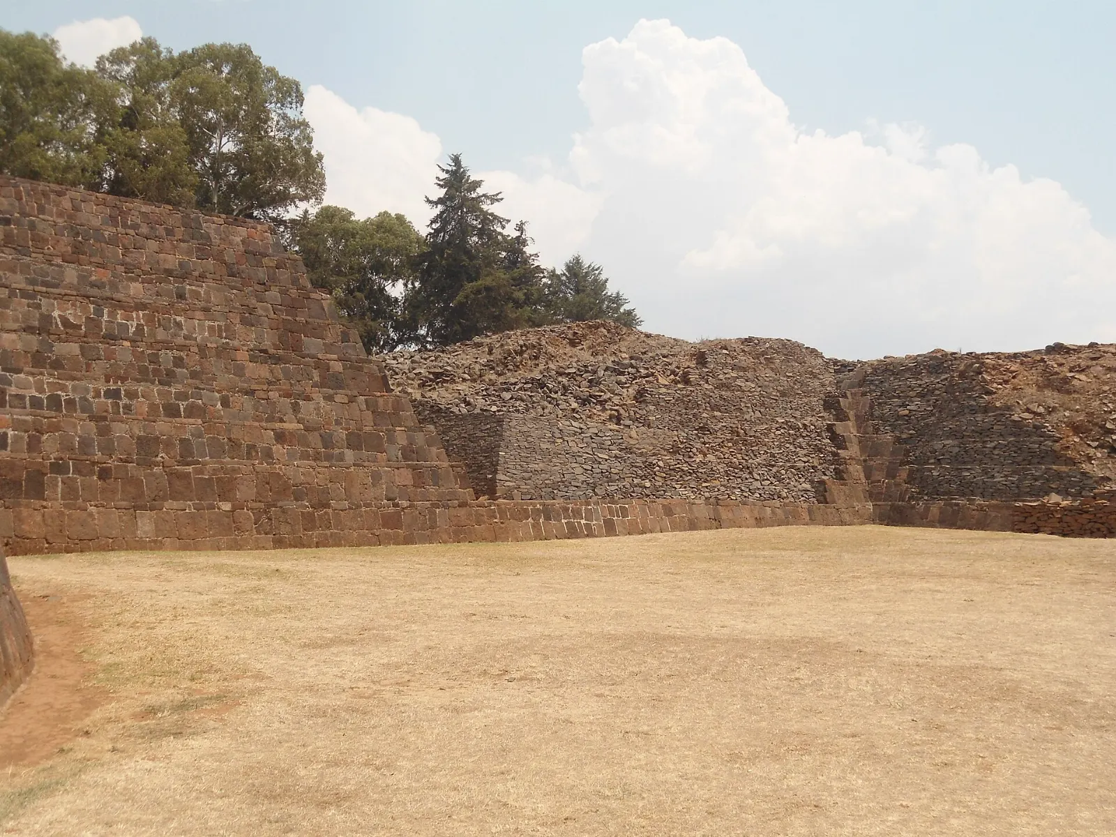
With a spare day, head east toward the Lake Pátzcuaro region, where Pátzcuaro and Tzintzuntzan add colonial streets, a Franciscan monastery and the pyramids of the old Purépecha capital.
Practical tips
- Wear sturdy shoes and bring a rain jacket, because weather in the highlands changes quickly.
- Carry cash for guides, horses and village food stalls.
- Start early, since mornings are clearer and cooler for the hike.
- Stay on marked routes and follow your guide on the lava, which is sharp and uneven.
- Bring water and snacks, because supplies are limited near the volcano.