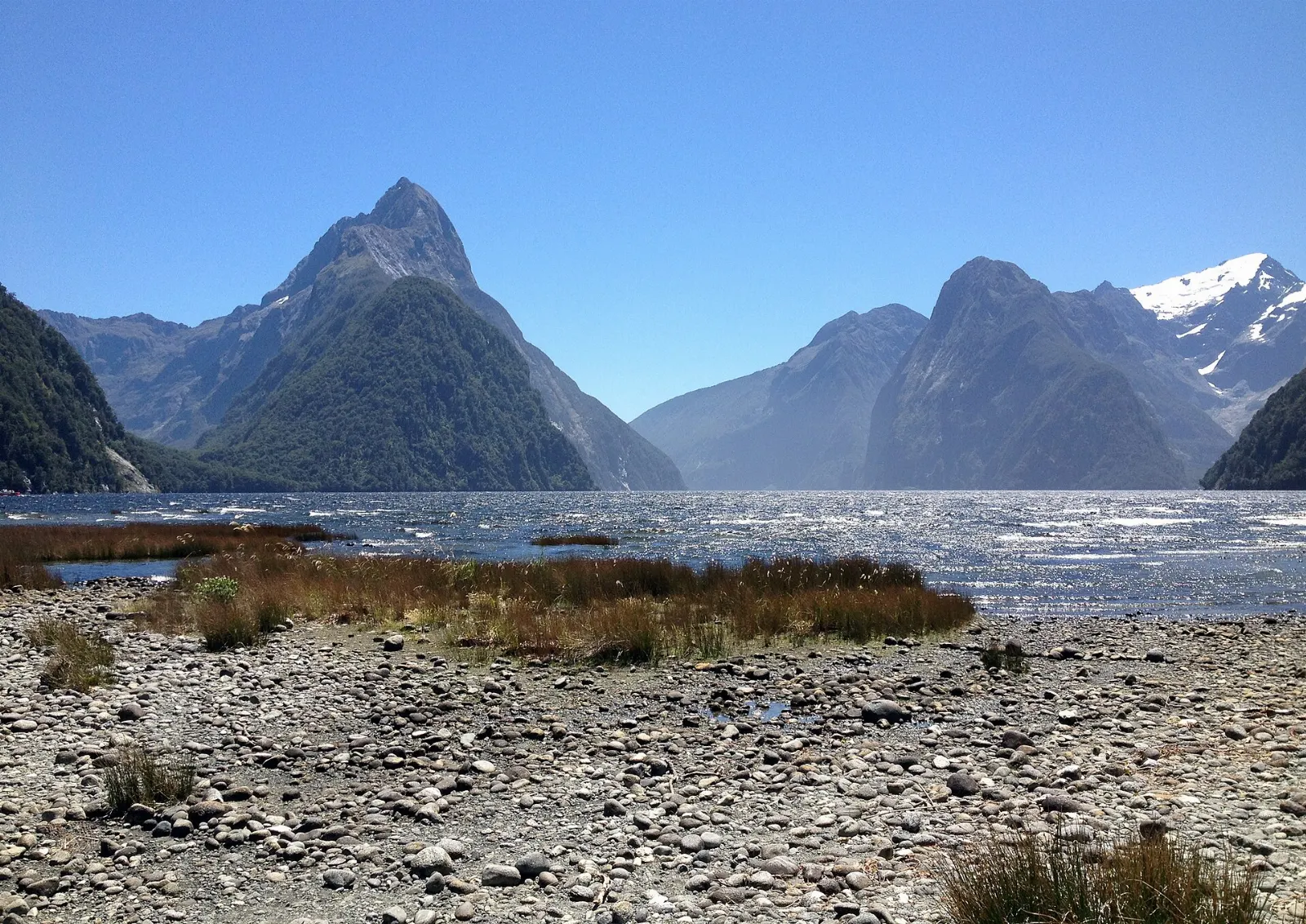
Milford Sound, officially Milford Sound / Piopiotahi, is the one fiord in Fiordland National Park that you can drive to, and that fact shapes almost every trip there.
AT A GLANCE
Best time
December to March for long days and open walks; any month for waterfalls after rain.
How long
One full day minimum; two or three days with a base in Te Anau.
Getting there
Drive or take a coach along the Milford Road from Te Anau, or fly in from Queenstown.
Why visit Milford Sound
Despite the name, Milford Sound is a fiord, carved by glaciers rather than flooded river valleys. It runs roughly 15 kilometres from the head of the fiord out to Dale Point on the Tasman Sea, with peaks such as The Elephant and The Lion lining the walls.
The setting is protected several times over. The fiord sits inside Fiordland National Park, the Piopiotahi Marine Reserve and the Te Wāhipounamu World Heritage Area.
Then there is the rain. Milford Sound averages around 6,400 millimetres a year, one of the wettest inhabited places on earth. A wet day turns the cliffs into hundreds of temporary waterfalls, while a clear day delivers the classic view of Mitre Peak.
On the fiord: peaks, waterfalls and wildlife
Nearly everything at the fiord starts from the visitor terminal beside the wharf at the end of the road. Cruises, kayak trips and overnight boats all leave from here, and short walks fan out along the foreshore.
Mitre Peak
Mitre Peak rises 1,692 metres from the water and is named for its resemblance to a bishop's mitre. The best ground-level view is from the foreshore near the car park, where a short, flat walk gives you the classic angle across the water. From a boat, you see how the peak is actually part of a cluster of summits.
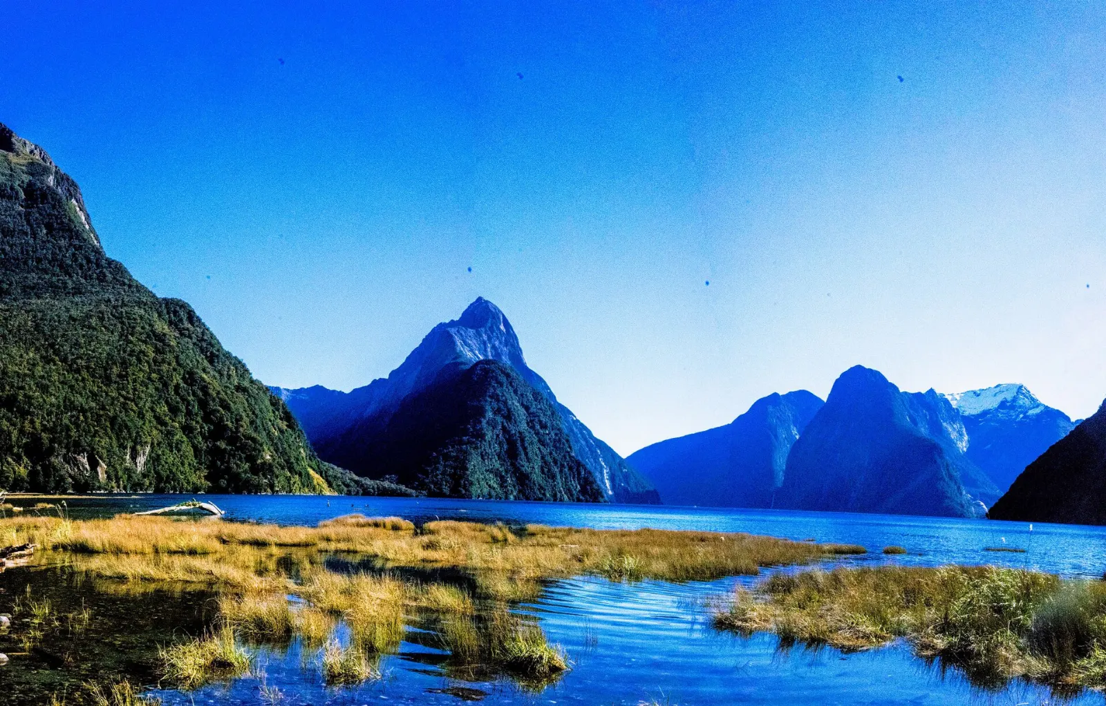
A fiord cruise to the Tasman Sea
A cruise is the main event for most visitors. Standard trips last one to two hours and run the length of the fiord to the open sea and back, passing the sheer face of The Elephant, the long wall below Mitre Peak and seal colonies on the rocks.
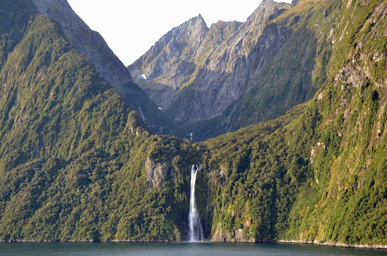
Stirling Falls
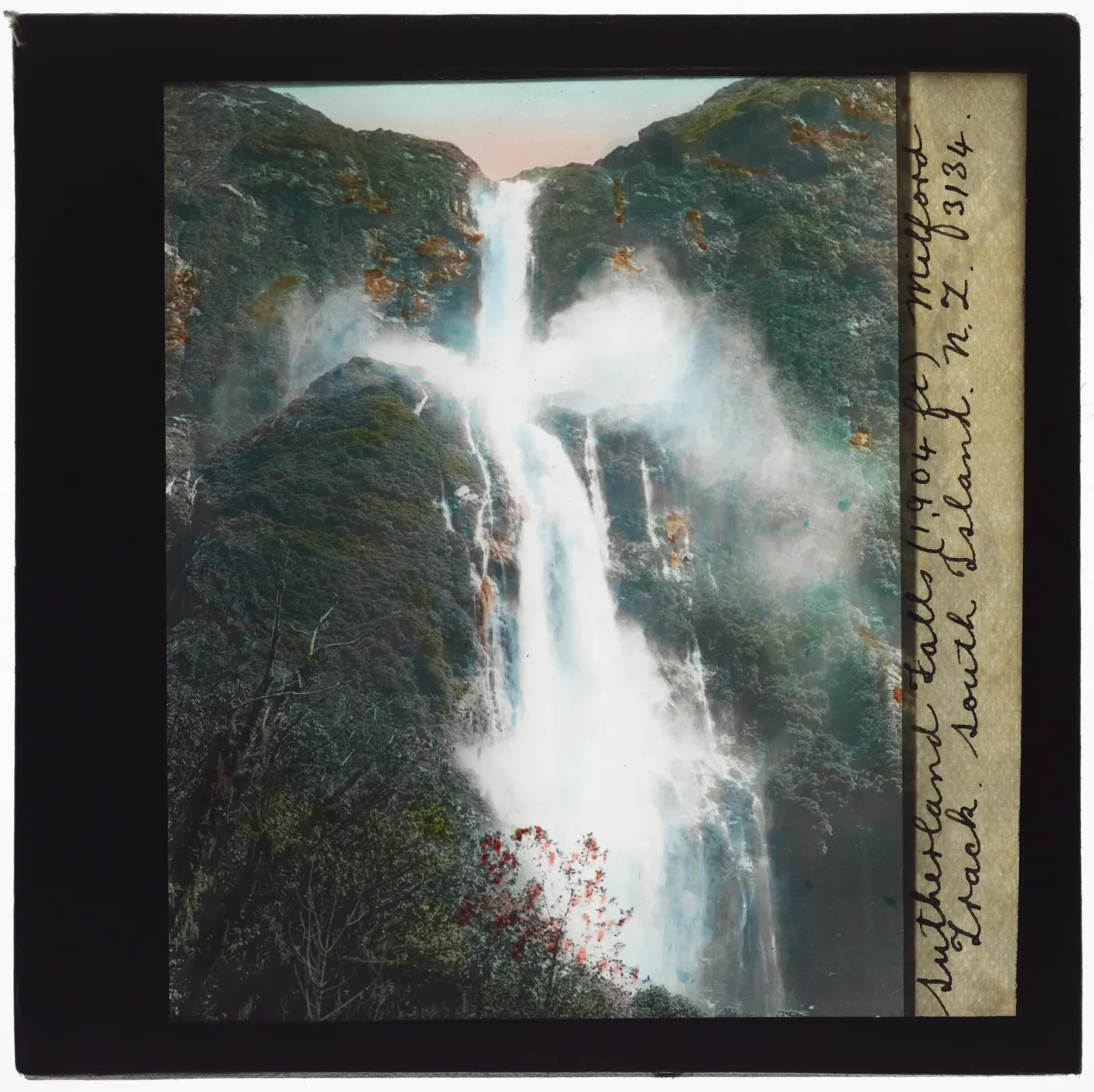
Stirling Falls is the second of the fiord's two permanent waterfalls, dropping about 146 metres from a hanging valley on the north side. Many cruise boats nose right up to its base so passengers on the bow can feel the spray, and some captains invite you to fill a cup from it.
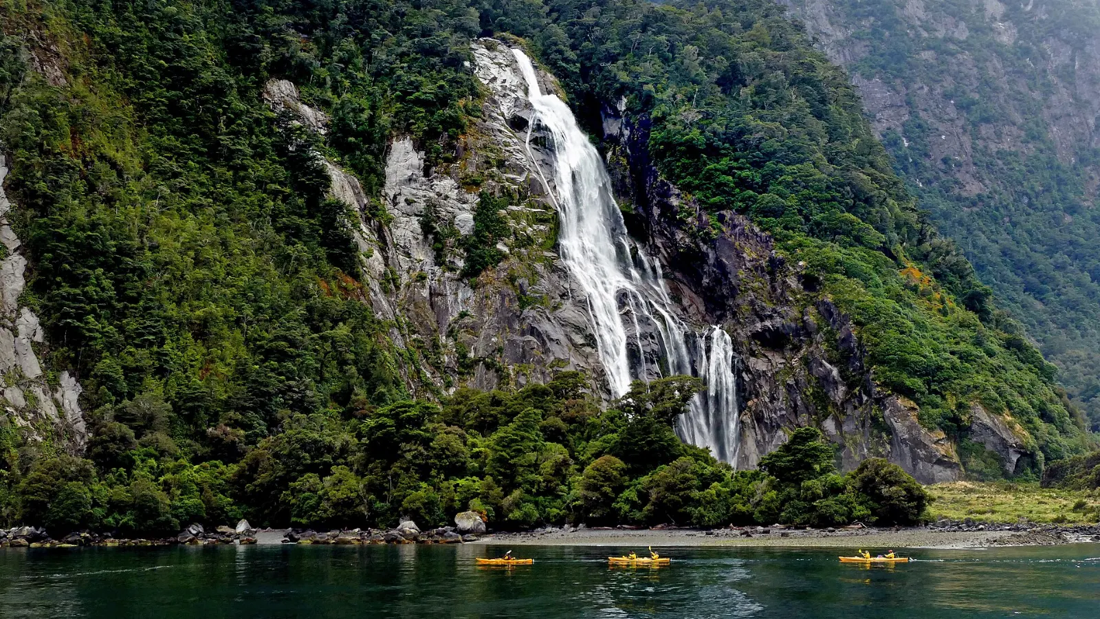
Lady Bowen Falls
Lady Bowen Falls is the largest permanent waterfall in the fiord, falling roughly 160 metres just north of the wharf. It is named after the wife of Sir George Bowen, an early governor of New Zealand, and it also supplies the village with water and power.
Kayaking and the underwater observatory
Guided sea kayak trips get you to water level, where the cliffs feel even taller and seals and penguins are less disturbed than by engines. Trips usually run in small groups and last several hours, and some are packaged with transport from Te Anau.
The Milford Road: stops worth your time
The Milford Road, part of State Highway 94, covers about 119 kilometres from Te Anau to the fiord. Without stops it takes at least two hours, but the road itself is a highlight, crossing the Main Divide and dropping into the Cleddau Valley through a series of hairpins.
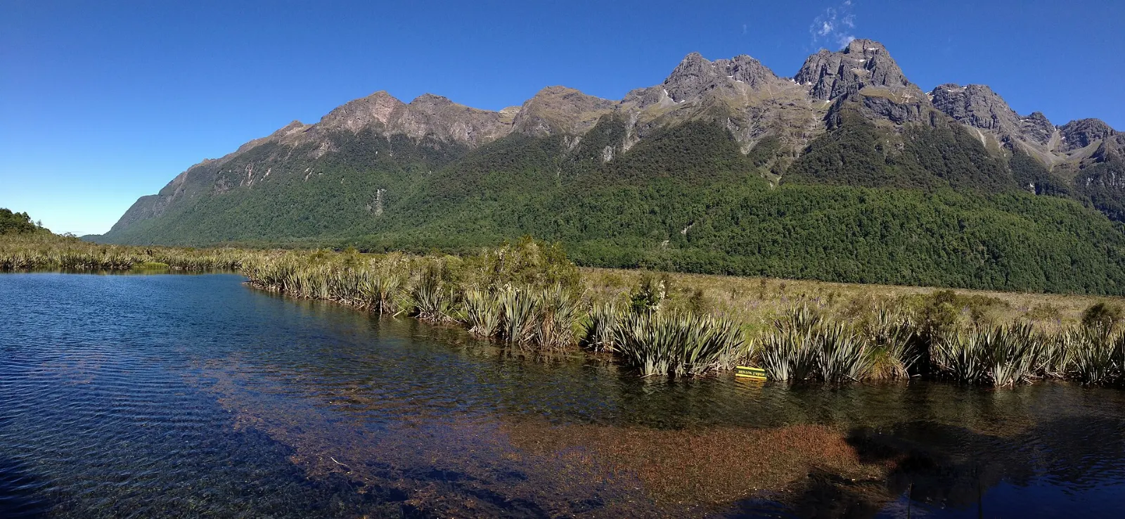
Mirror Lakes
Roughly halfway along, in the Eglinton Valley, the Mirror Lakes sit beside a boardwalk a few steps from the car park. On a still morning they reflect the Earl Mountains so cleanly that a sign is placed upside down to be read in the water.
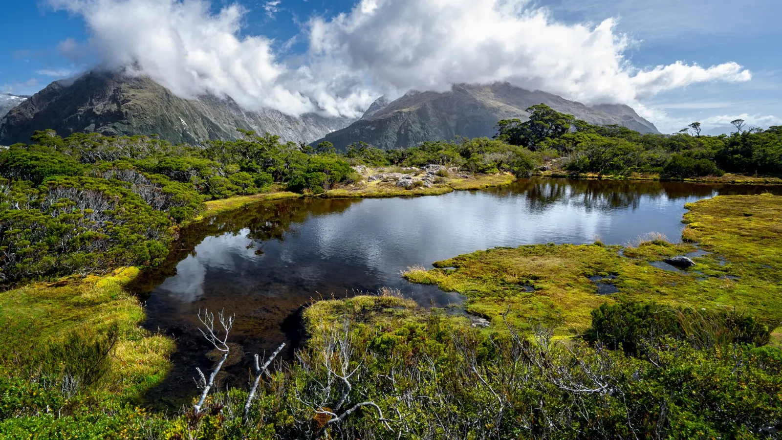
Key Summit from The Divide
The Divide is the lowest east-west crossing of the Southern Alps and the trailhead for the Routeburn Track.
Lake Marian
A short drive down the gravel Lower Hollyford Road leads to the track for Lake Marian, an alpine lake held in a hanging valley beneath steep peaks.
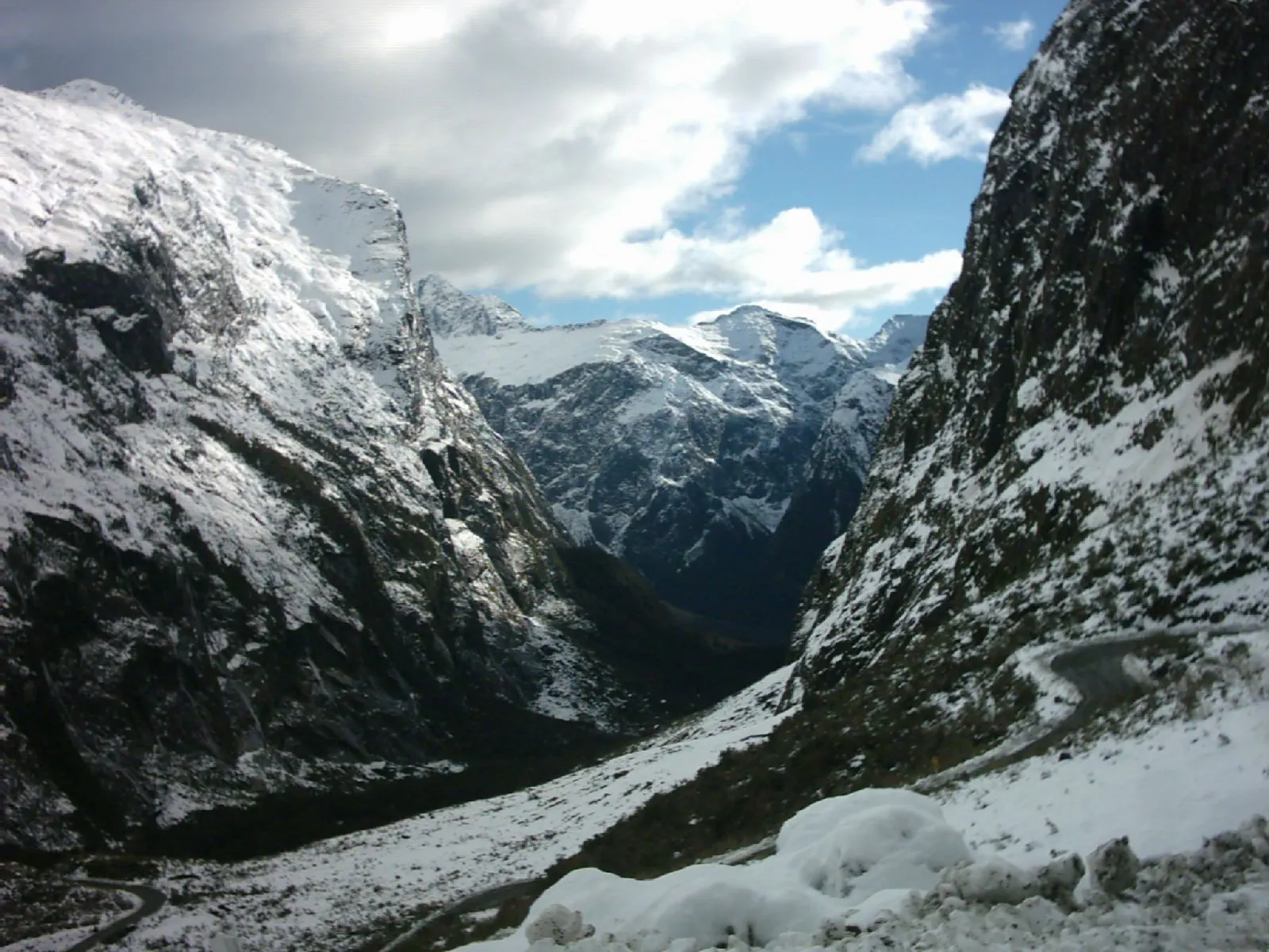
Homer Tunnel
The Homer Tunnel is the gateway to the fiord side of the range. Work began by hand in the 1930s and the tunnel was completed in 1953, opening the road to Milford Sound.
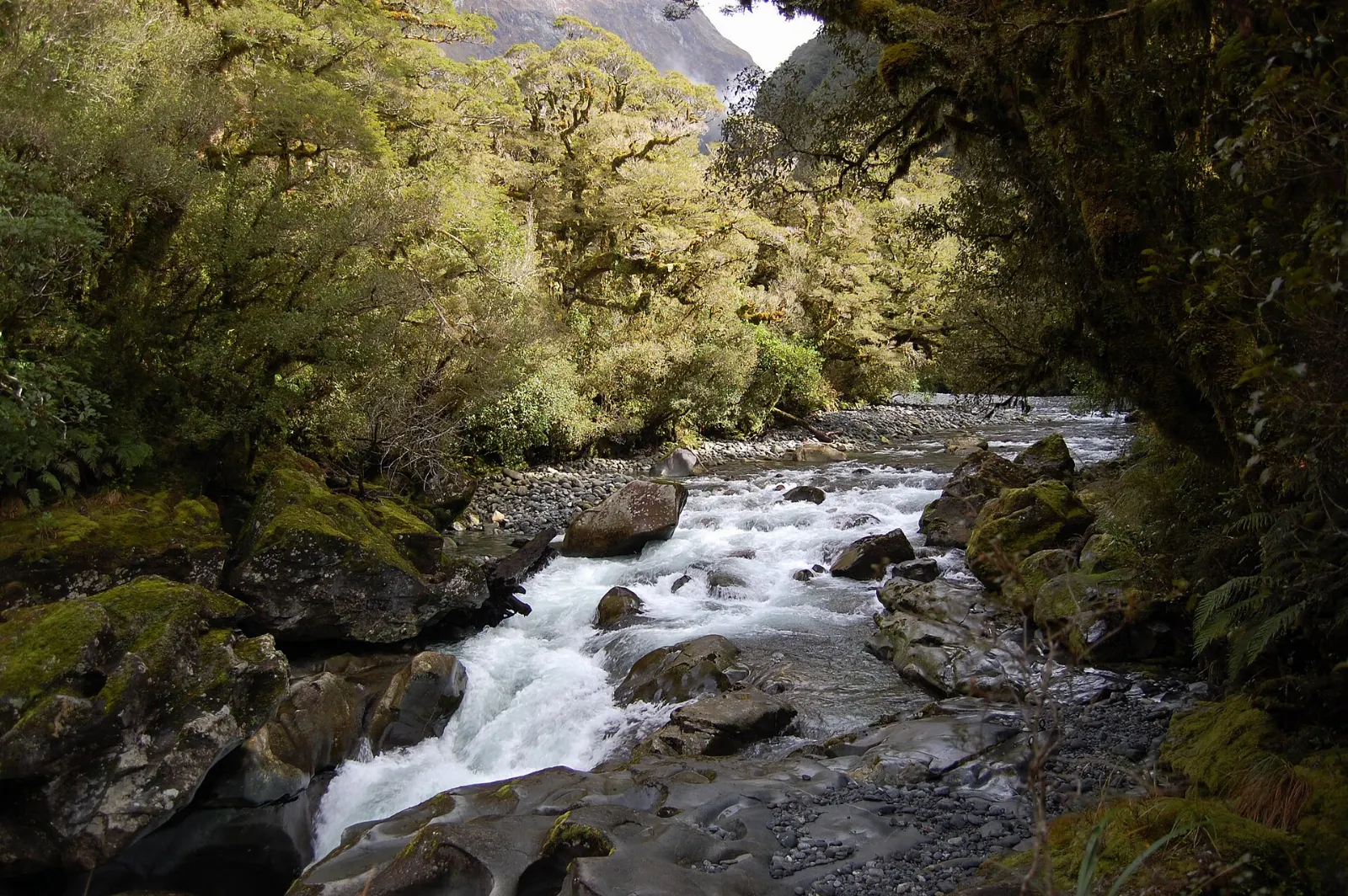
The Chasm
Close to the end of the road, a short forest walk leads to The Chasm, where the Cleddau River has carved smooth basins, holes and arches into the rock. It is a twenty-minute stroll on a good day and a dramatic one after rain.
 Planning a trip to Milford Sound?Compare hotels, flights and vacation rentals for Milford Sound on Expedia.Book now
Te Anau and the great walks
Te Anau, on the shore of Lake Te Anau, is the gateway town for Milford Sound and the place to fill up on fuel, food and gear before the drive.
The Milford Track
The Milford Track is one of New Zealand's Great Walks and many people's reason for coming.
Lake Te Anau and the glowworm caves
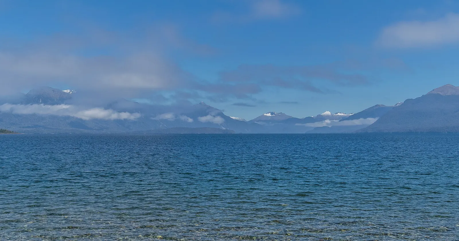
Lake Te Anau is the largest lake in the South Island, with three inland arms on its western shore. A boat across the lake takes you to the Te Anau Glowworm Caves, a young, active limestone cave system where an underground stream roars past and a small boat carries you into a grotto lit by glowworms.
Te Anau Bird Sanctuary
A short lakeside walk from town brings you to the bird sanctuary, Punanga Manu o Te Anau, where you can see takahē, a large flightless bird once thought extinct, along with other native species. Allow half an hour to an hour.
Food and local flavors
Food options at the fiord are very limited: a single cafe and bar near the terminal and a small store at the lodge.
Te Anau itself has a good range for a small town.
Popular dishes to try in Milford Sound


Where to stay
Te Anau is the best base for most travellers.
Milford Sound village has only one lodge open to the general public, with chalets, bunk rooms and campervan sites by the river.
On the water, overnight cruises are the most memorable option, with cabins, dinner and a morning on the fiord.
Department of Conservation campsites line the Eglinton Valley. They are basic, and suit self-contained campervans and tent campers who come prepared for sandflies.
Queenstown offers far more choice but is about four hours from the fiord by road, which makes for a very long day trip.
Where to stay in Milford Sound


Best time to visit
Summer, from December to February, brings the longest daylight, the warmest temperatures and full access to walking tracks, but also the biggest crowds and the busiest road.
Winter, from June to August, is quiet and often clear, with snow on the peaks. However, the Milford Road crosses avalanche terrain, chains must be carried in the cold months and the road can close at short notice.
Getting there and getting around
By car: Te Anau is the jumping-off point.
By coach: Daily coach tours run from Queenstown and Te Anau, often with glass-roofed buses and a cruise included.
By air: Scenic flights by plane and helicopter run from Queenstown, Te Anau and Wanaka to the small Milford Sound airstrip, weather permitting.
Fees: New Zealand has proposed charging international visitors to access some natural sites, including Milford Sound, from around 2027.
A suggested itinerary
First day
Arrive in Te Anau in the afternoon. Walk the lakefront to the bird sanctuary, then take an evening boat across the lake to the glowworm caves.
Second day
Leave early for the Milford Road. Stop at the Mirror Lakes while the water is still, stretch your legs at Lake Gunn and pass through the Homer Tunnel.
Third day
Choose between a guided kayak trip on the fiord, a day section of the Kepler Track from Te Anau, or a scenic flight.
Practical tips
- Pack a waterproof jacket and warm layers in every season; weather changes fast and spray reaches boat decks.
- Bring strong insect repellent. Sandflies are fierce around the fiord and in the valleys.
- Book cruises, kayak trips and overnight boats ahead in summer, and choose early or late departures to avoid the midday rush.
- Fill your fuel tank and buy snacks in Te Anau; there are no shops along the Milford Road.
- Check road conditions before driving, and carry chains in the colder months.
- Do not feed kea or other birds, and stay in your car where signs prohibit stopping.