Izta-Popo National Park surrounds the volcanoes Popocatépetl and Iztaccíhuatl, a short trip from Mexico City. This guide covers viewpoints, forest walks, Amecameca, food, lodging, timing and how to plan safely at altitude.
AT A GLANCE
Best time
November to April for clearer skies, with early starts in the rainy season from May to October.
How long
Two to three days covers the park, Amecameca and its sights.
Getting there
Drive or take a bus from Mexico City to Amecameca, then a taxi to the Paso de Cortés.
Why visit Izta-Popo National Park
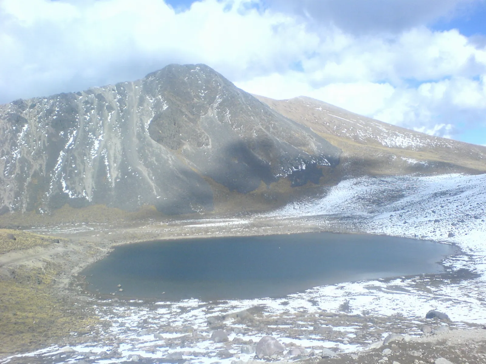
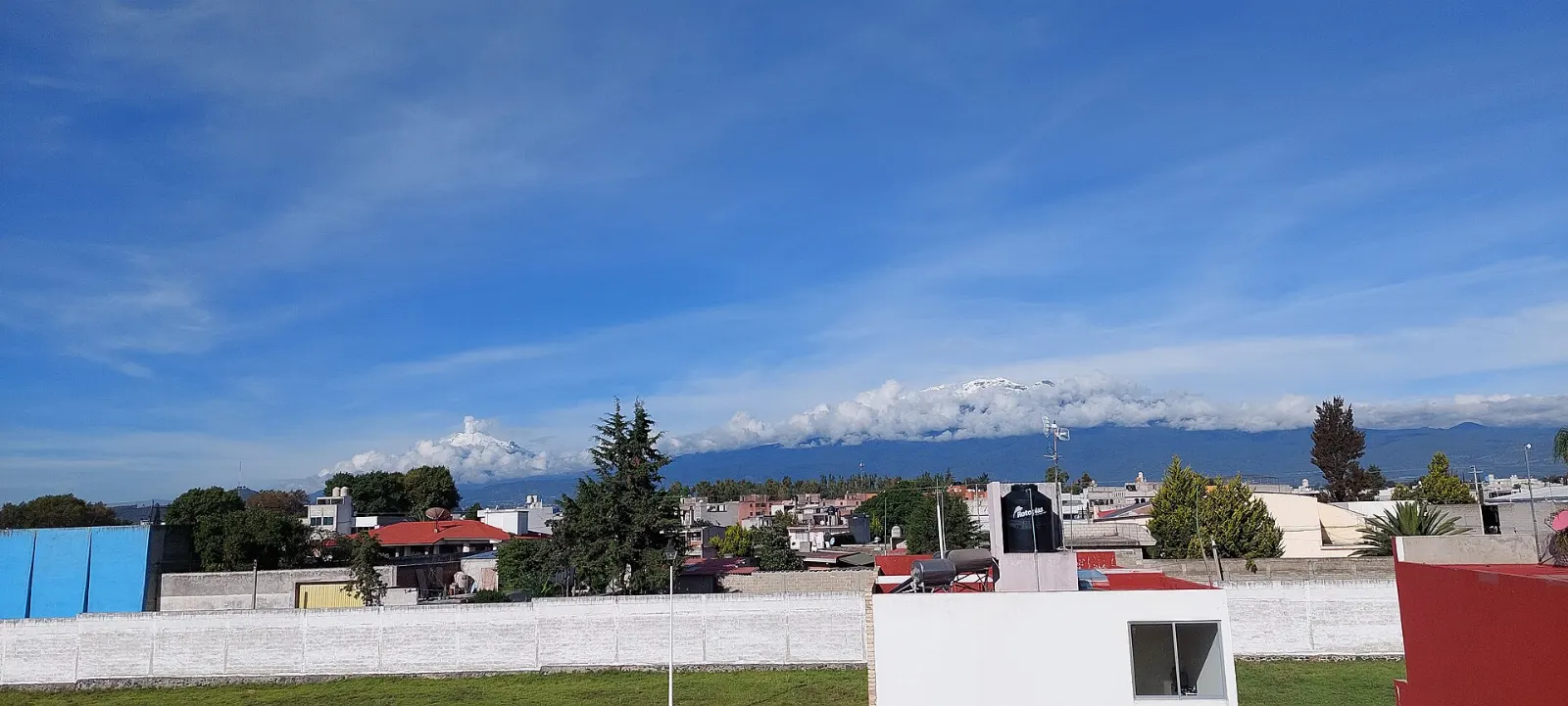
Izta-Popo National Park protects the landscape around two of the highest volcanoes in Mexico, Popocatépetl and Iztaccíhuatl, on the border of the State of Mexico, Puebla and Morelos. The park covers nearly 40,000 hectares of pine and fir forest, alpine grassland and bare volcanic rock, and it is a source of fresh water for Mexico City and Puebla.
The setting is also steeped in legend. Iztaccíhuatl, the White Woman, is said to be a princess who died of grief, and her mountain resembles a woman lying on her back, which is why it is nicknamed La Mujer Dormida. Popocatépetl, her warrior lover, still smokes. Come for the viewpoints, the forest walks, the nearby town of Amecameca and a sense of the scale of central Mexico's volcanoes.
In the park
Paso de Cortés
This high saddle links the two volcanoes and is where Hernán Cortés is said to have had his first view of the Valley of Mexico. A visitor centre here is where you pay fees and get information. It is about 30 minutes from Amecameca by car, and the cool air makes a jacket essential even on sunny days.
Popocatépetl
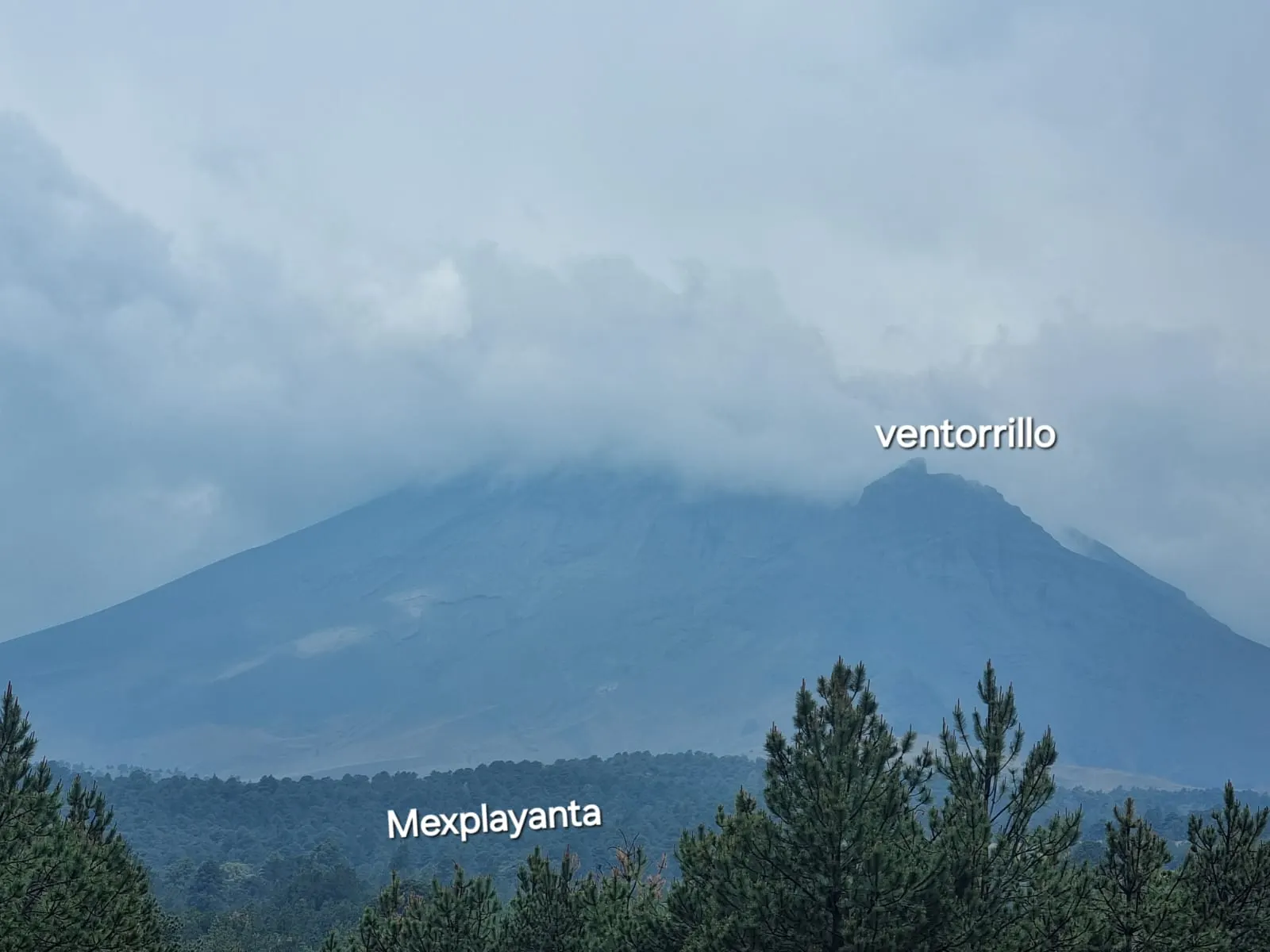
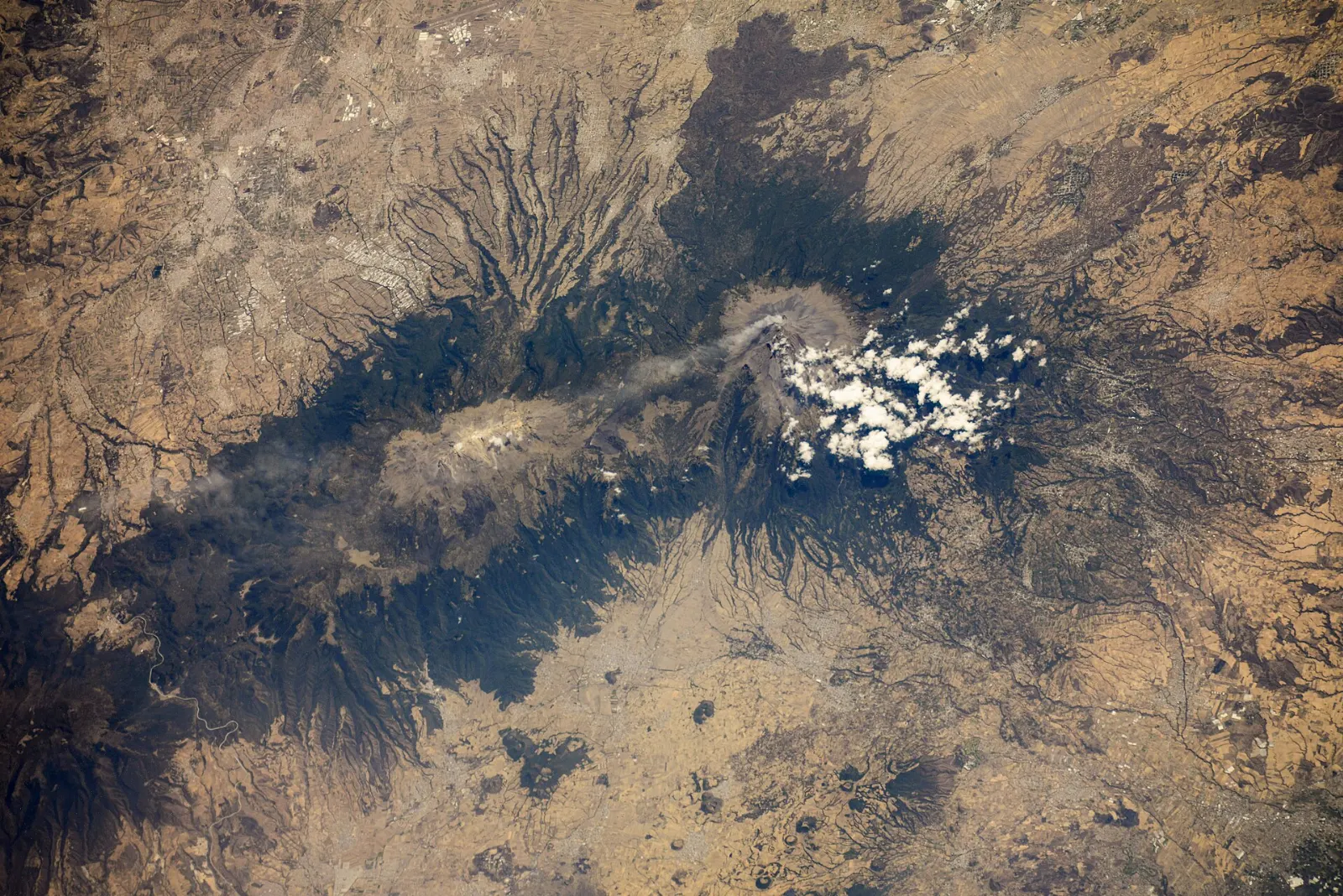
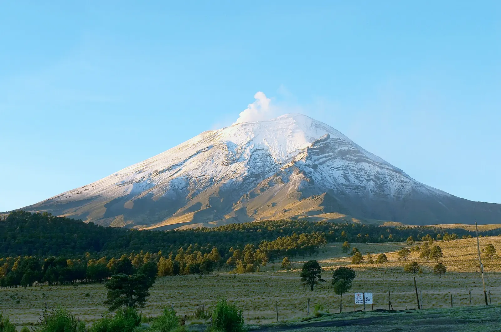
Mexico's second-highest peak after Pico de Orizaba is an active volcano, and smoke has been seen rising from its crater since the 1990s. Climbing it has not been possible since it showed renewed activity in 1994, so enjoy it from viewpoints. Pay attention to the colour-coded alert system, because access can change when the volcano is more active.
Iztaccíhuatl
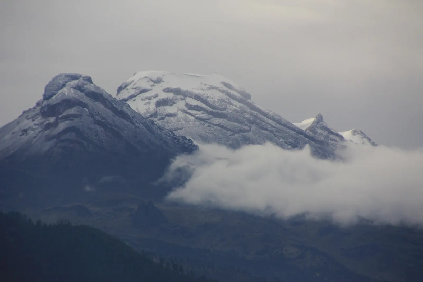
Standing at 5,230 metres, Iztaccíhuatl is the third-highest peak in Mexico. Climbing requires an ice axe, crampons and experience, so it is for properly equipped mountaineers who have acclimatised first. Register at the park office in Amecameca before heading up.
La Joya and Altzomoni
La Joya is a trailhead at high altitude, and the Altzomoni area has a lodge with bunk beds, fireplaces and electricity but no drinking water. Space can be limited, so check availability before you rely on it. Even if you are not climbing, the surrounding grassland is a good place for short, high-altitude walks.
Sierra de Río Frío and Zoquiapan
The northern part of the park covers three older volcanic peaks, Tláloc, Telapón and Papayo, and the forests of the old Zoquiapan hacienda. Mexican Federal Highway 150 passes through the Río Frío valley. It is quieter than the southern end, which makes it good for forest walks and picnics.
Amecameca and the Ruta de los Volcanes
Amecameca town
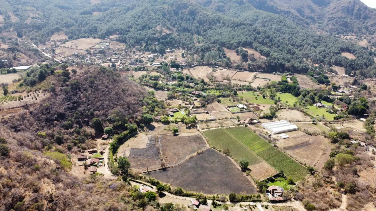
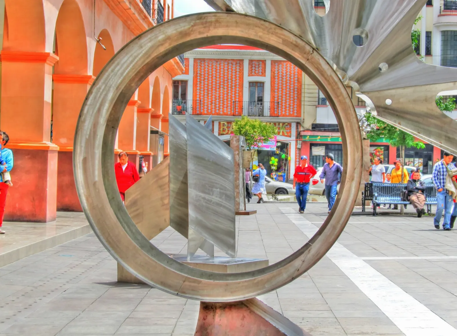
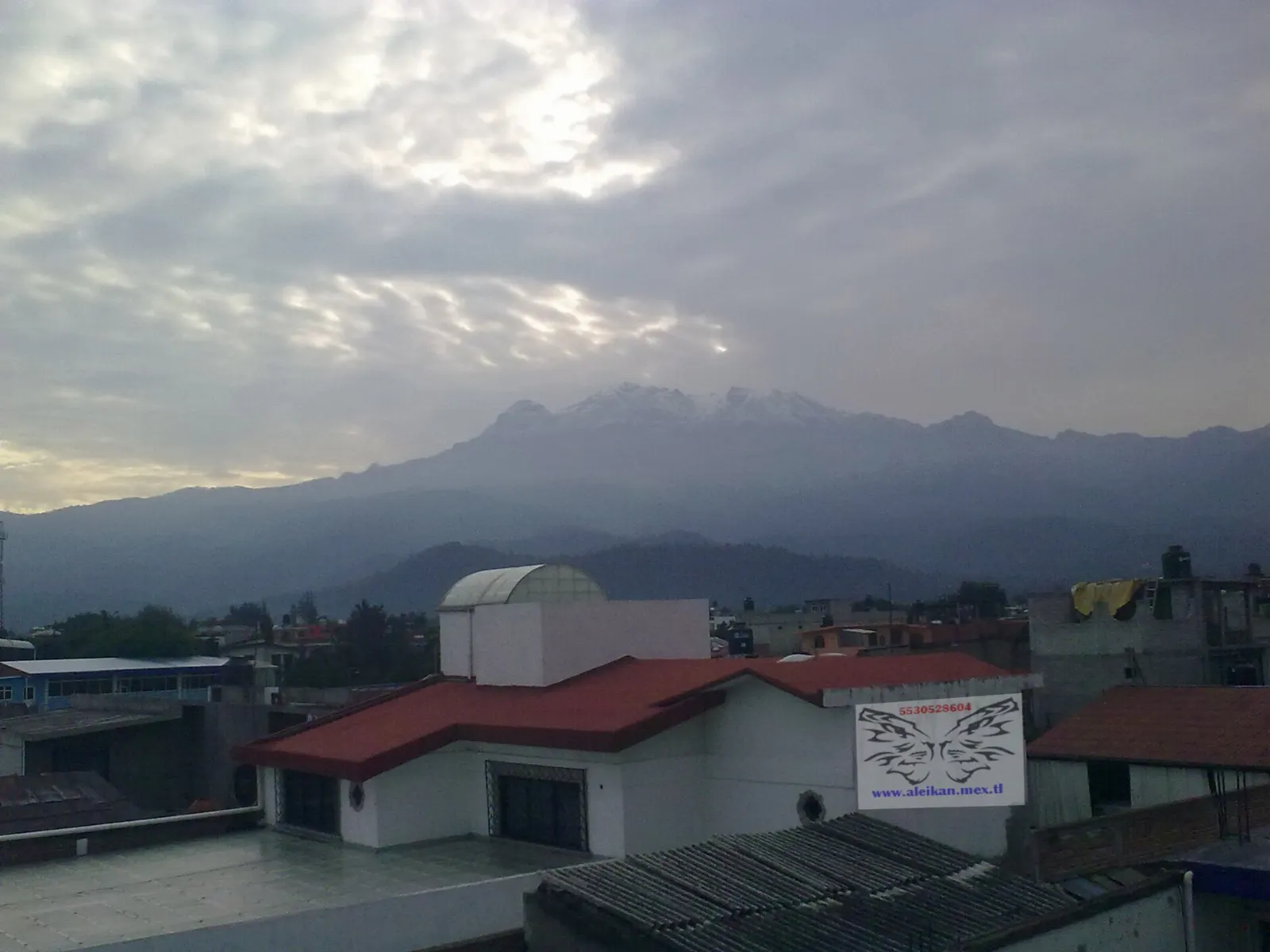
Amecameca is the main gateway, a market town at the foot of the Sierra Nevada, and it holds the title Capital of Mexican Alpinism. The Parish of the Asunción stands on the main square. Markets take over the streets on Monday, Wednesday and Sunday, so plan a morning here.
Sacromonte hill
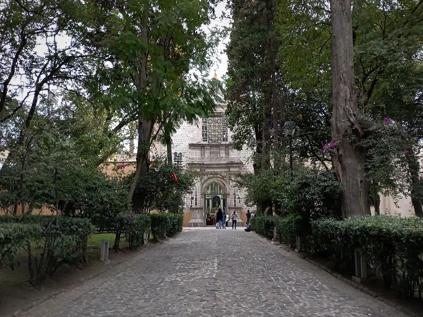
You can climb the wooded Cerro de Sacromonte, west of town, to a shrine and a viewpoint over the countryside and the volcanoes. On Ash Wednesday a procession climbs the hill, and the Carnival of the Señor del Sacromonte, one of the most important festivals in the State of Mexico, is held during that week. Allow a couple of hours.
Panoaya Hacienda
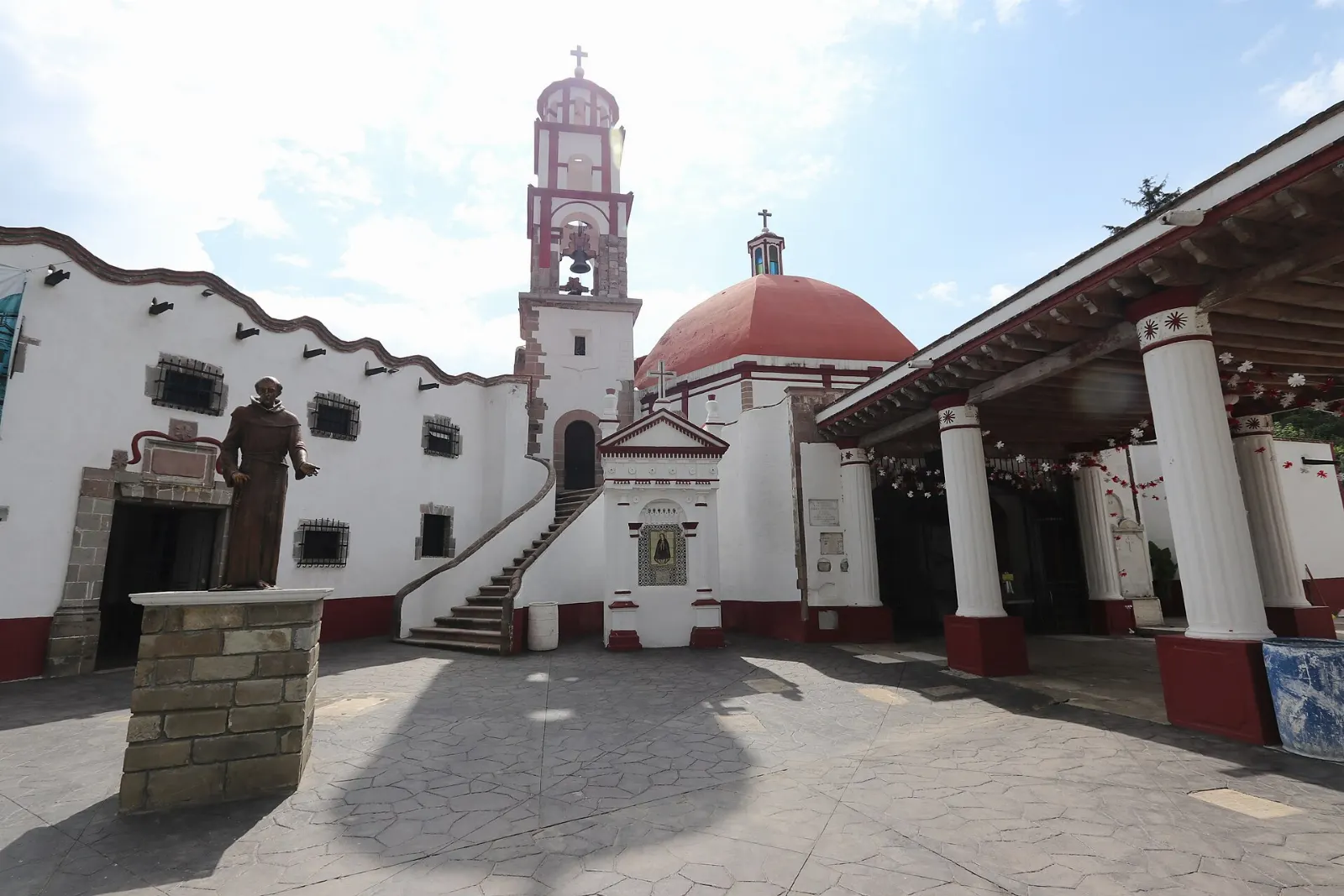
The hacienda holds the Sor Juana Inés de la Cruz Museum, which honours the poet who lived here as a child, and the International Museum of Volcanoes next door. Together they give context on the mountains you see on the horizon. Plan about two hours.
Eco Parque San Pedro and Bosque de los Arboles de Navidad
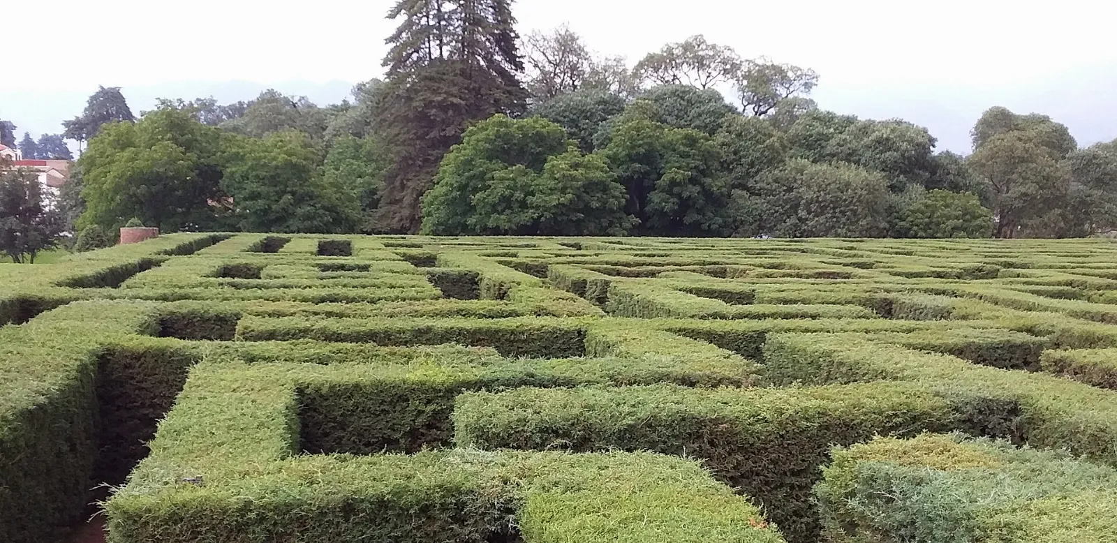
Eco Parque San Pedro sits at about 2,870 metres between two rivers near the Paso de Cortés. It is known for a large labyrinth made of cedar trees and for sculpted plant animals. Nearby, the Christmas Tree Forest lets families cut their own tree in the holiday season and has food stalls.
 Planning a trip to Izta-Popo National Park?Compare hotels, flights and vacation rentals for Izta-Popo National Park on Expedia.Book now
Wildlife and forests
Forests and alpine grassland
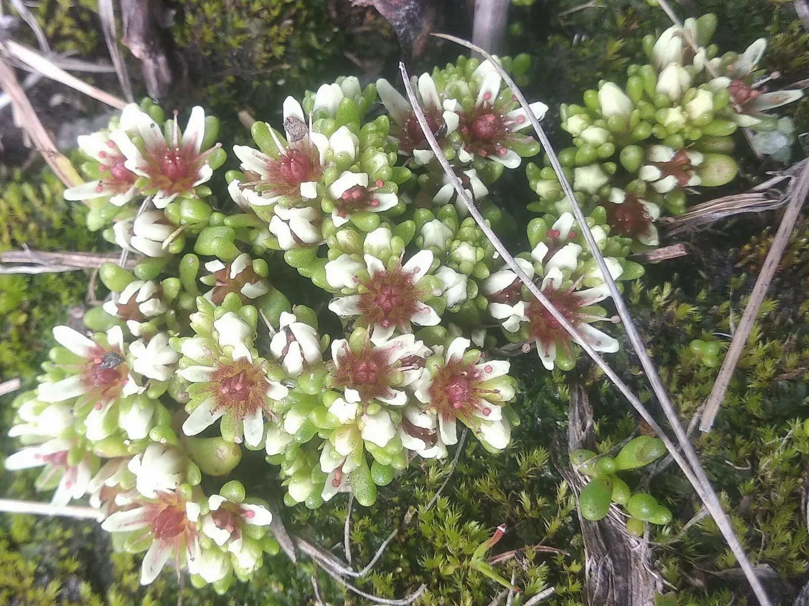
Oyamel fir and pine forests rise up to about 4,000 metres, and above them lie zacatonal grasslands where tough bunch grasses grow. Higher still the ground becomes bare rock. The change from forest to open slope happens quickly, so expect colder, windier weather as you climb.
Birds and the volcano rabbit
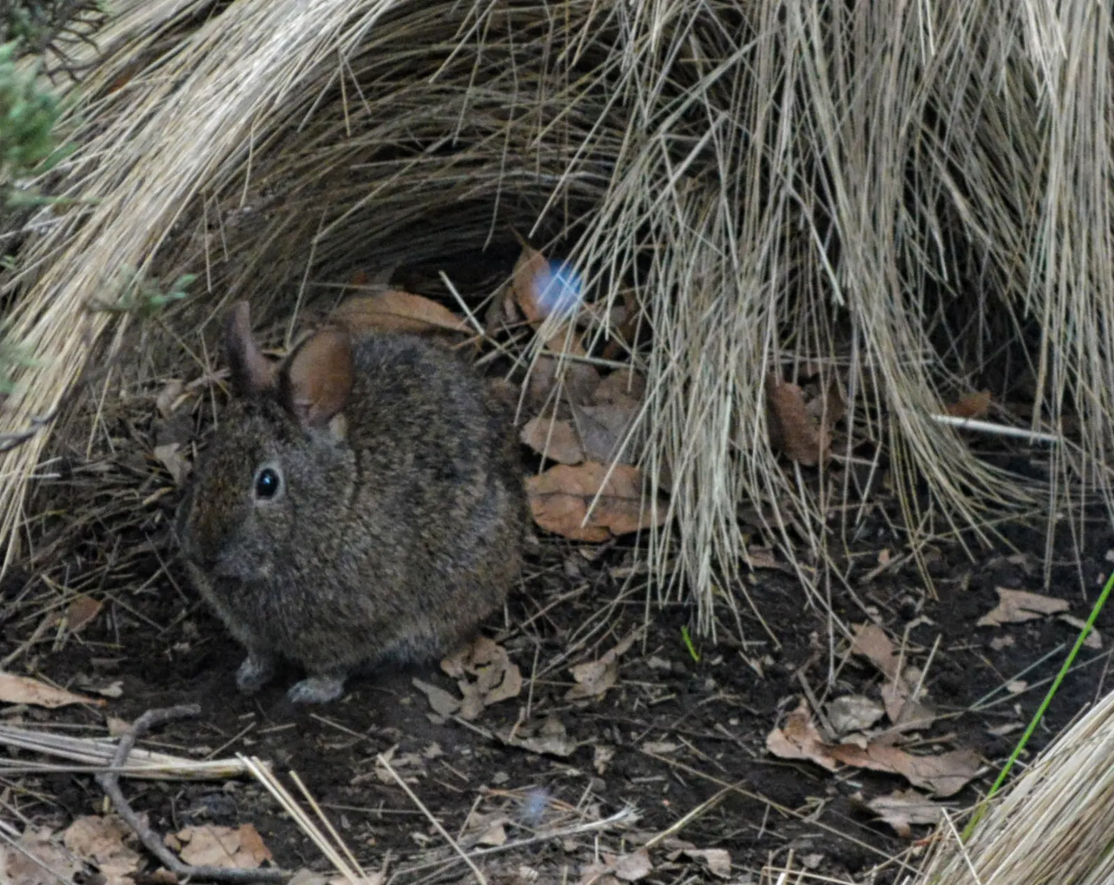
The park has recorded more than 160 bird species, including peregrine falcons and red-tailed hawks. It is also home to the endangered volcano rabbit, which lives in high grasslands on a few central Mexican volcanoes. Bring binoculars, stay on trails and keep a respectful distance from wildlife.
Food and local flavors
Amecameca and the villages along the Ruta de los Volcanes are known for their food, and weekend visitors from Mexico City come to eat as much as to hike. The municipality is the top walnut producer in Mexico, which links the area to chiles en nogada, poblano chiles stuffed with a fruit-and-meat filling and covered in a walnut cream sauce. The dish is tied to Puebla, just across the park, and is made around August and September.
Try pulque, the milky, slightly sour drink made from fermented agave sap that is traditional in central Mexico. In the rainy season, wild mushrooms appear in markets, and hongos silvestres are cooked into soups and fillings. The Amecameca market days, on Monday, Wednesday and Sunday, are the best time for stalls and local snacks.
Popular dishes to try in Izta-Popo National Park


Where to stay
Amecameca is the most practical base. It has simple hotels near the main square, restaurants, markets and taxis that can take you up to the Paso de Cortés. Staying here makes early starts easy, and the town is walkable.
Altzomoni is for climbers and hikers who want to be high on the mountain. The lodge has bunk beds and fireplaces, but no potable water, and it can be full, so confirm availability and bring supplies and warm layers.
Mexico City works if you prefer more choice and plan a long day trip. The volcanoes are about an hour or two away by road depending on traffic, and an early departure gets you above the clouds before they build in the afternoon.
Where to stay in Izta-Popo National Park


Best time to visit
The dry season, from about November to April, brings the clearest skies and the best views of the snow-dusted peaks, although nights are very cold at altitude. The rainy season runs from May to October, with afternoon storms, so start early and finish by midday.
Check whether the park is open and what the volcano alert level is before you go, since conditions change. Ash Wednesday week brings the Sacromonte festival in Amecameca, and on March 12 locals honour Don Goyo, the spirit of the volcano, with flowers and food. Weekends are busier than weekdays.
Getting there and getting around
The park is about 70 kilometres from Mexico City, and the main route is the Ruta de los Volcanes along Highway 115 through Chalco to Amecameca. Most travellers fly into Mexico City and continue by road or bus.
By bus, travel first to the Chalco interchange, often called Los Cocos, then transfer to a local bus marked Ameca. In Amecameca, colectivos stop on the north side of the main square, and the large bus station is a few blocks northwest. Take care with the interchange transfer, and avoid doing it at night.
From Amecameca, a taxi can take you to the Paso de Cortés, La Joya or Altzomoni. Drivers know the visitor centre stop. If you drive, expect cold temperatures, mist and slow mountain roads.
A suggested itinerary
First day
Arrive in Amecameca, walk the main square and parish church, and eat at the market. Climb Sacromonte hill in the afternoon for views of both volcanoes.
Second day
Take an early taxi to the Paso de Cortés and the visitor centre, then walk a short trail in the forest or grassland. Return to town for lunch and visit the Panoaya Hacienda museums.
Third day
Visit Eco Parque San Pedro and the Christmas Tree Forest, then head home along the Ruta de los Volcanes. Experienced climbers can use this day, with the right equipment, to attempt Iztaccíhuatl after acclimatising.
Practical tips
- Check your government's current travel advisory before you go.
- Check the park's access rules and the current volcano alert level before travelling.
- Take it slowly at altitude, and acclimatise before any serious hike.
- Carry warm layers, rain gear, sun protection and plenty of water.
- Only attempt Iztaccíhuatl with an ice axe, crampons and mountaineering experience.
- Start early, because afternoon clouds and storms are common in the rainy season.
- Stay on marked trails to protect the grasslands and the volcano rabbit.