Nevado de Toluca Mexico Twin Crater Lakes and Volcanic Peaks
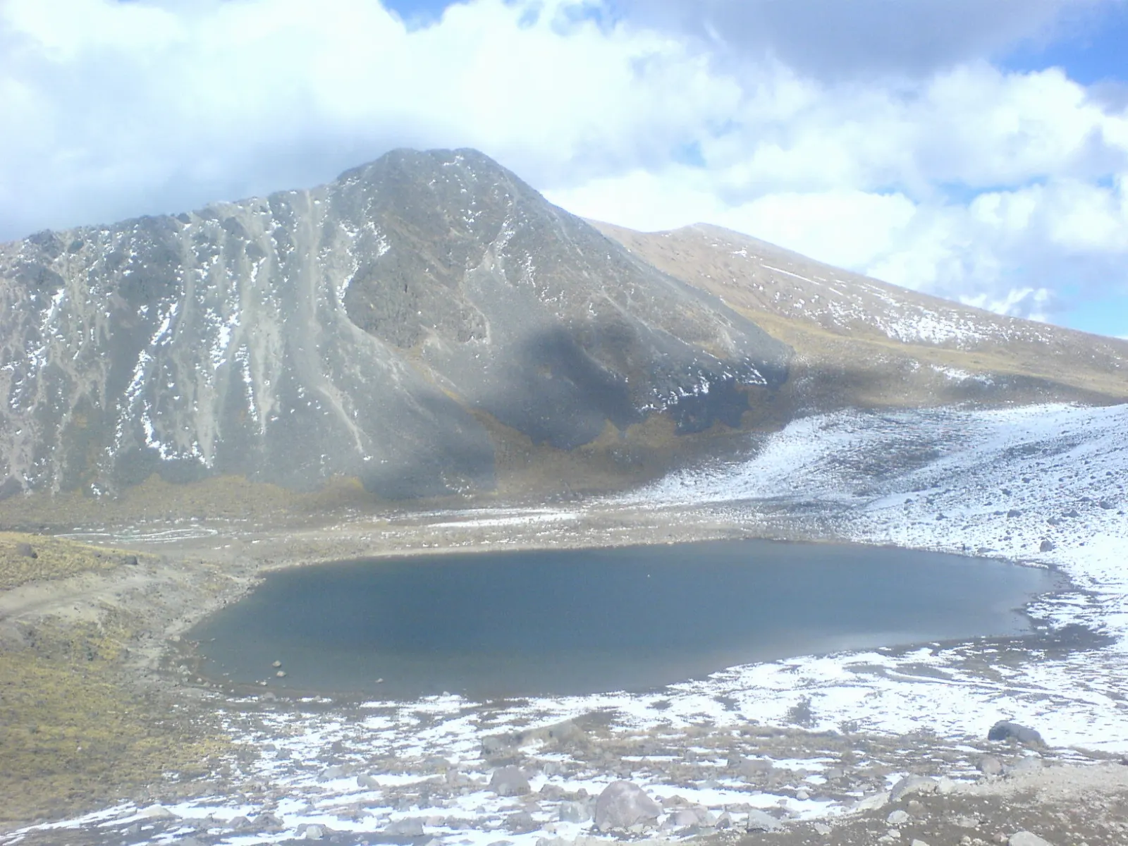
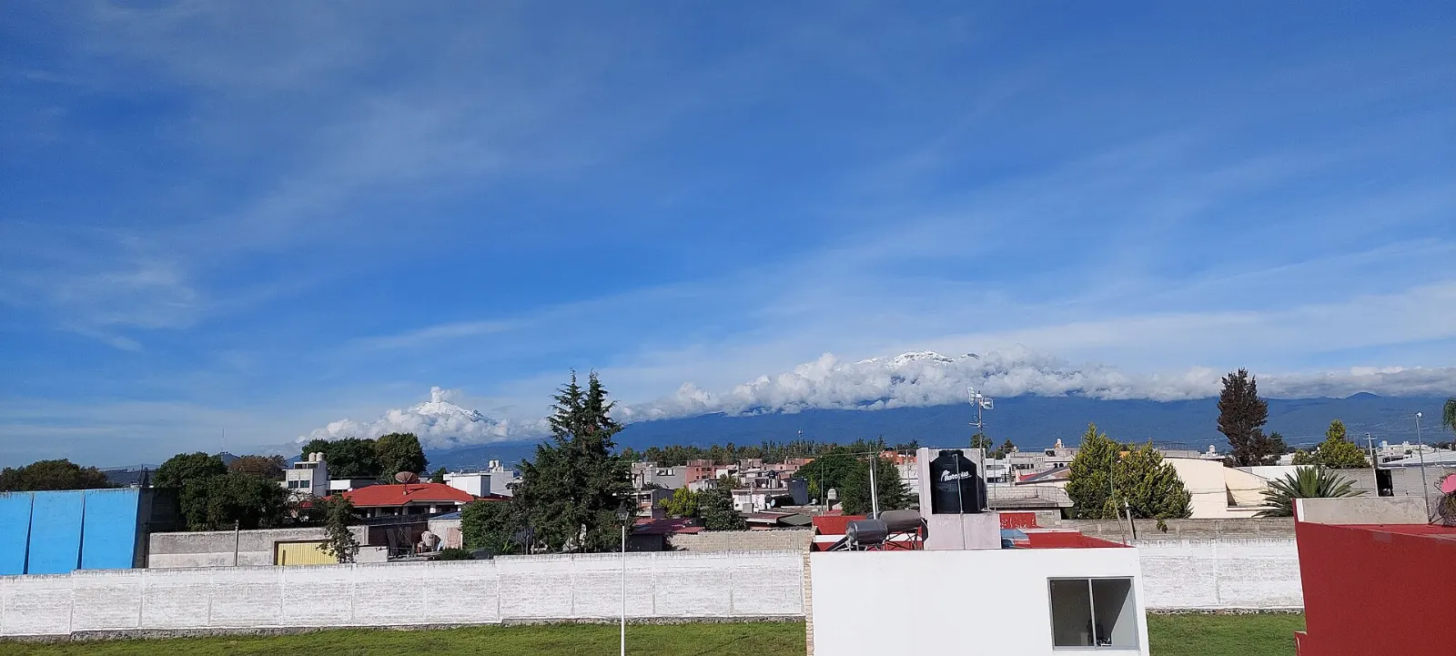
Nevado de Toluca is the fourth highest peak in Mexico, an extinct volcano about 80 kilometres west of Mexico City whose crater holds two lakes at more than 4,000 metres. The mountain and its forests form a national park, while the state capital of Toluca sits in the valley below with colonial arcades, a stained glass botanical garden and a good museum scene. One practical point comes first: the national park was closed indefinitely in August 2025 after an accident, so check the latest official announcement before you plan a trip to the crater.
By WiserMap TravelUpdated October 20268 places12 min read
Best timeThe dry winter months from November to April bring clearer skies, and snow may dust the summit.
How longAllow one full day for the crater and a second day for the city of Toluca.
Getting thereFly into Toluca or Mexico City, then continue by train, bus or car to Toluca and on to the park.
Ad
Why visit Nevado de Toluca
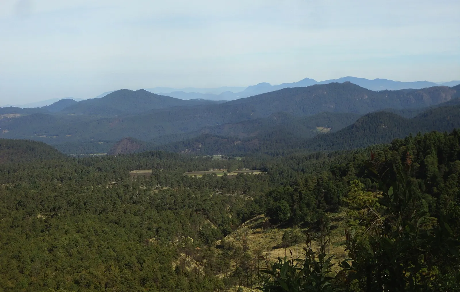
Few places near Mexico City feel as far from the capital as this volcano. You drive up through fir and pine forest, cross open alpine grassland above the tree line and finally look down on two small lakes held inside a volcanic crater. It is the only volcano in Mexico with crater lakes, and the setting has been sacred ground for centuries.
The Nahuatl name, Xinantecatl, is usually translated as the Naked Lord, because the summit rises above the trees. Archaeologists have registered 18 sites in the park, and offerings of copal were once placed in the lakes. Combine the mountain with a day in Toluca and you get landscapes, history and local food in one compact trip.
The best places to visit: the crater and peaks
Laguna del Sol
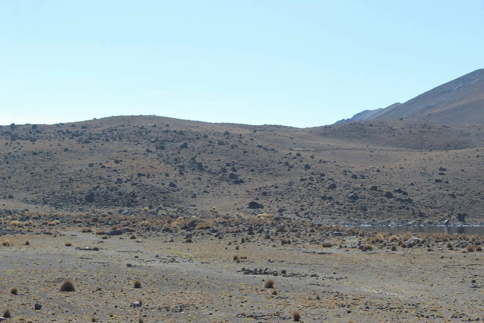
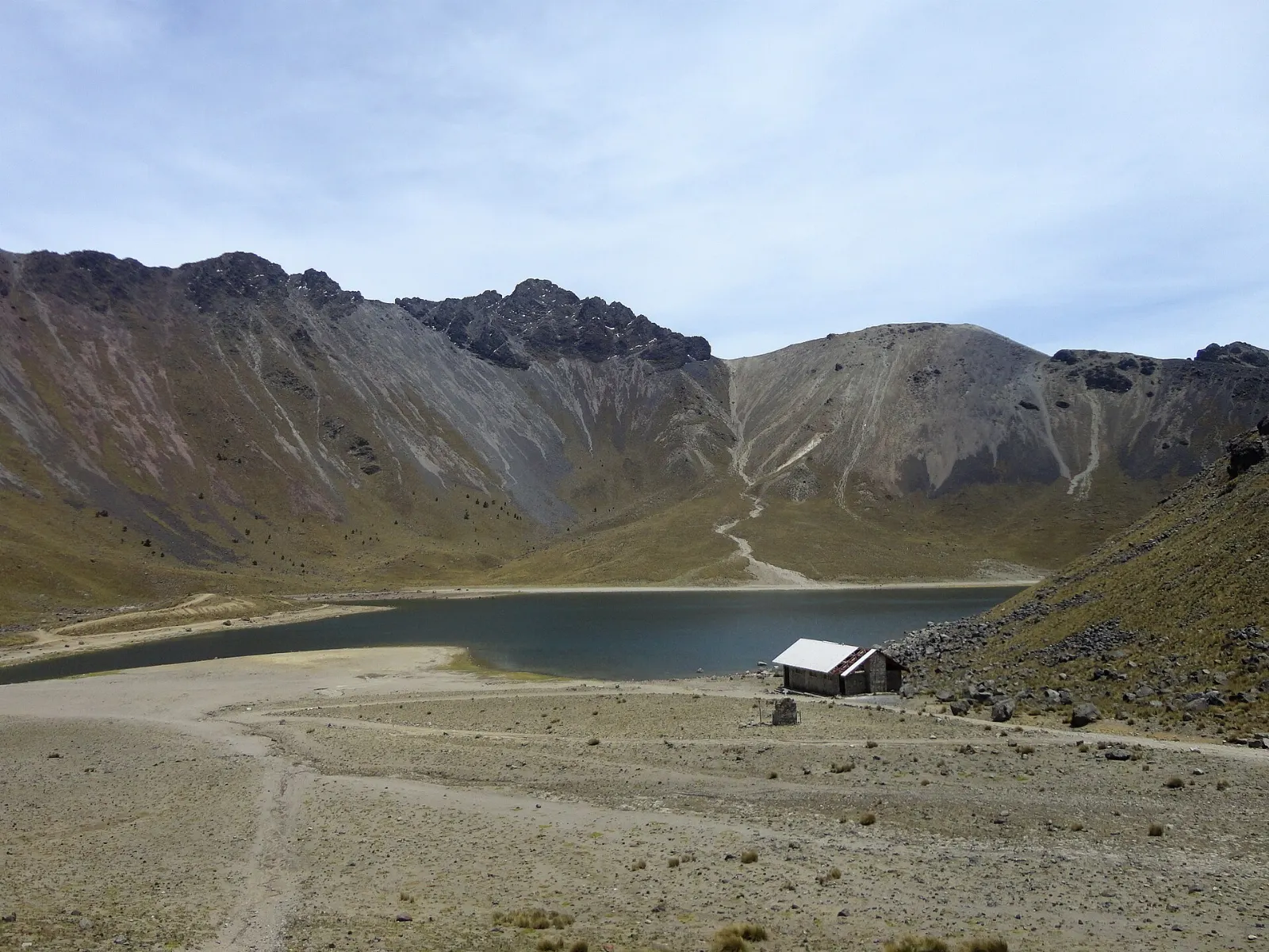
The Laguna del Sol is the larger of the two crater lakes and the main reason most people make the climb. It lies on the flat floor of the crater at a height above 4,000 metres, so the air is thin and cold even on sunny days. Allow at least an hour at the water to walk the shore, take photographs and let your body adjust to the altitude.
The smaller Laguna de la Luna sits close to its bigger neighbour, and walking between the two is one of the easiest ways to feel the scale of the crater. Pre-Hispanic ceremonies took place at both lakes, and divers have found offerings on the lakebed. Today scuba diving needs permission from the state parks agency and is only for experienced divers because of the cold and the altitude.
The Laguna de la Luna is the smaller of the two crater lakes. Photo: Álvaro de la Paz Franco, Wikimedia Commons, CC0
Pico del Fraile
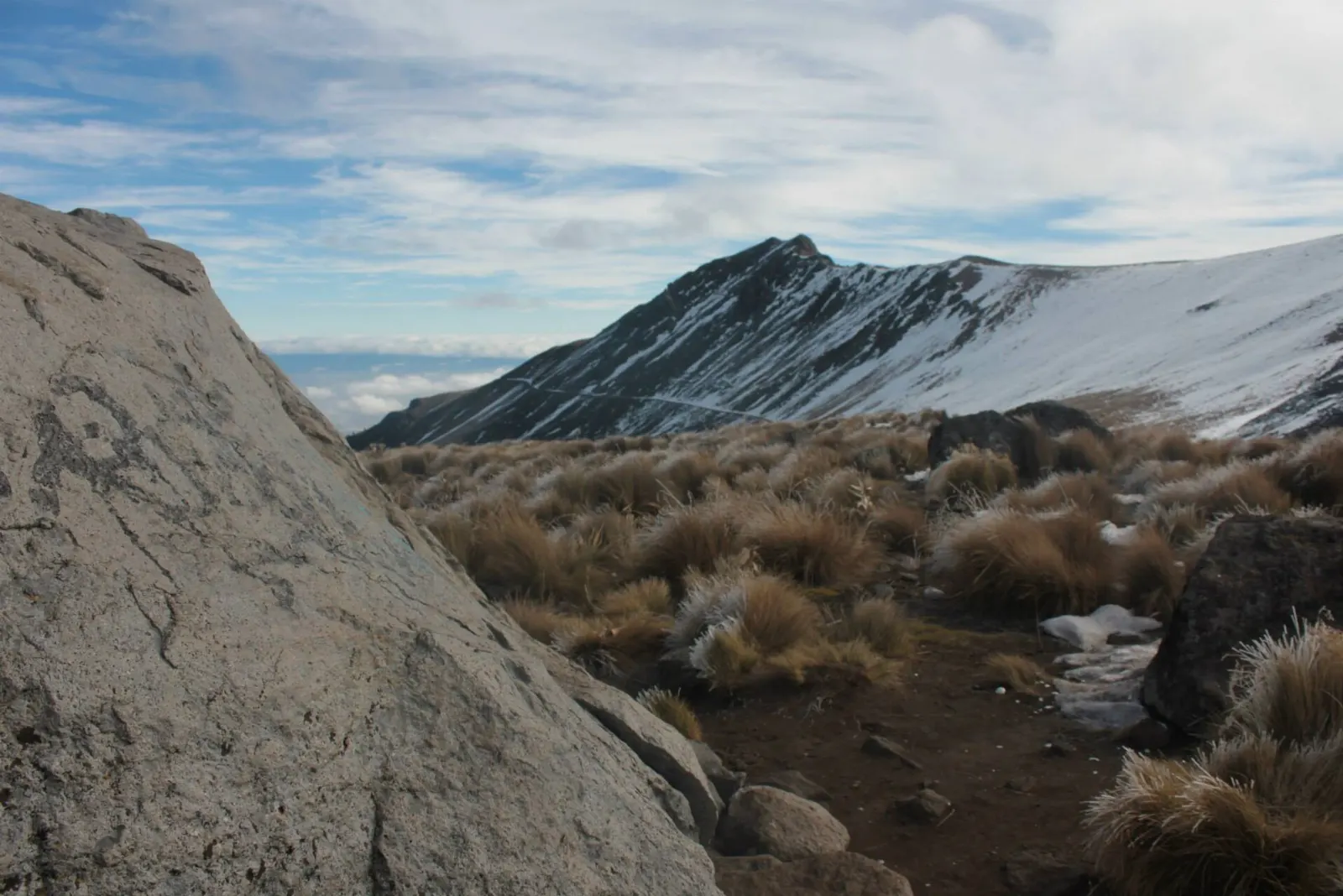
Pico del Fraile, or Friar's Peak, is the highest summit of the volcano at about 4,680 metres, on the southwest side of the crater. The second summit, Pico del Águila, rises on the northwest. Most visitors admire the peaks from the crater floor, and only well-prepared hikers with experience at altitude should consider the rim.
Pico del Fraile is the highest point of the Nevado de Toluca crater rim. Photo: Josem95, Wikimedia Commons, CC BY-SA 4.0
El Ombligo
El Ombligo, the Navel, is the rocky dome formed by the volcanic plug that sealed the vent when the volcano went quiet. On top of this hill, known as Cerro del Ombligo, archaeologists found green obsidian blades and painted pottery at a site called Xicotepec. It is a good place to picture the ritual life of the crater centuries ago.
Paso del Quetzal
Since 2008 cars have not been allowed into the crater, so you walk from a gate and parking area outside it. Two routes lead in: a longer, flatter road of about six kilometres and the steeper Paso del Quetzal of about two kilometres. Choose the shorter path if you are fit and the longer one if you want an easier gradient.
Ad
The best places to visit: forest and sacred sites
Las Raíces
The main entrance to the park is the community of Las Raíces in the municipality of Temascaltepec. From there a road winds up the mountain through the forest, and the drive itself is part of the trip. Stop at viewpoints on the way up to gain height gradually instead of going straight to the crater.
On the northeast side of the park, a zone called Peña Ahumada is known for its fir forest. These trees grow mostly at the lower and middle levels and give a very different mood from the bare crater above. It is a pleasant choice if you want a gentler walk under the trees.
Cerro Prieto Cave
On the west side of the crater, the Cerro Prieto Cave is a rock shelter more than 60 metres high. It holds traces of pre-Hispanic visits and has been a shrine to the Archangel Michael since colonial times. It shows how the mountain has mattered to people for a very long time, so treat it with respect.
The best places to visit: the city of Toluca
Cosmovitral
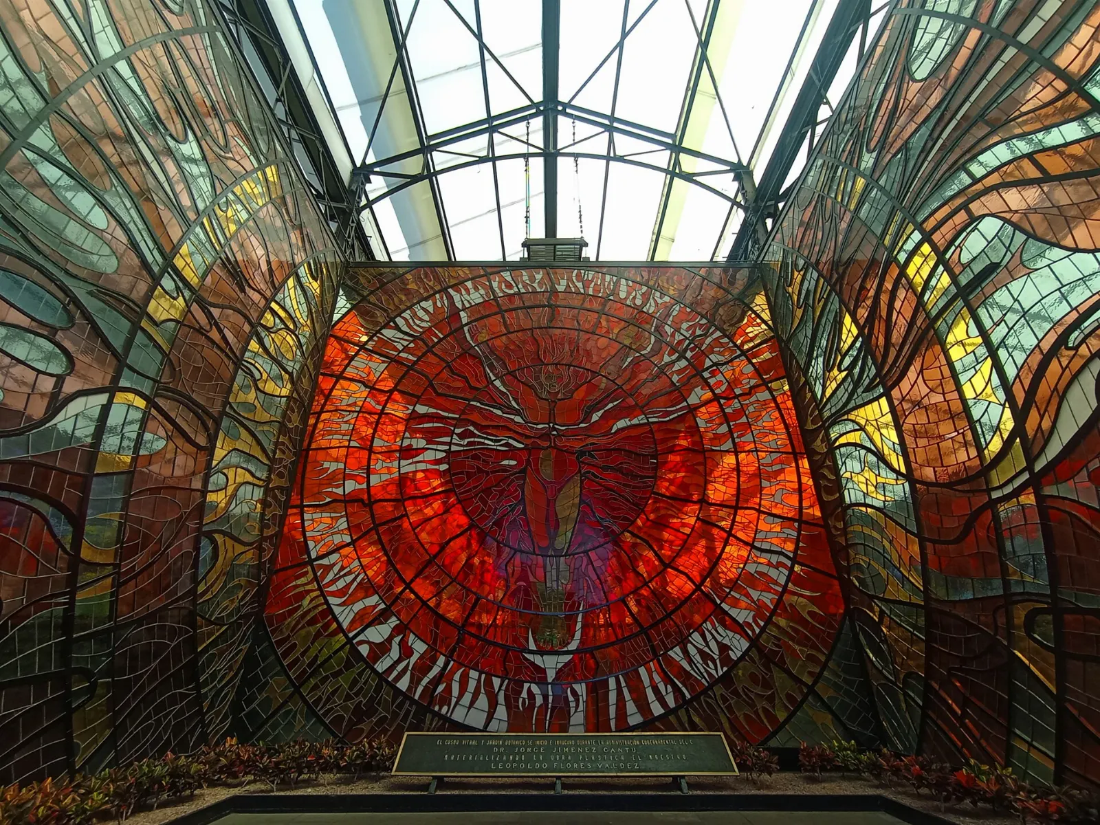
The Cosmovitral is a botanical garden inside a building of stained glass, and it feels almost celestial when light pours through the coloured panels. Plan about an hour. Opening days change, so check before you walk over.
The Cosmovitral is a botanical garden enclosed in a stained glass building in central Toluca. Photo: Juan Carlos Fonseca Mata, Wikimedia Commons, CC BY-SA 4.0
Portales de Toluca
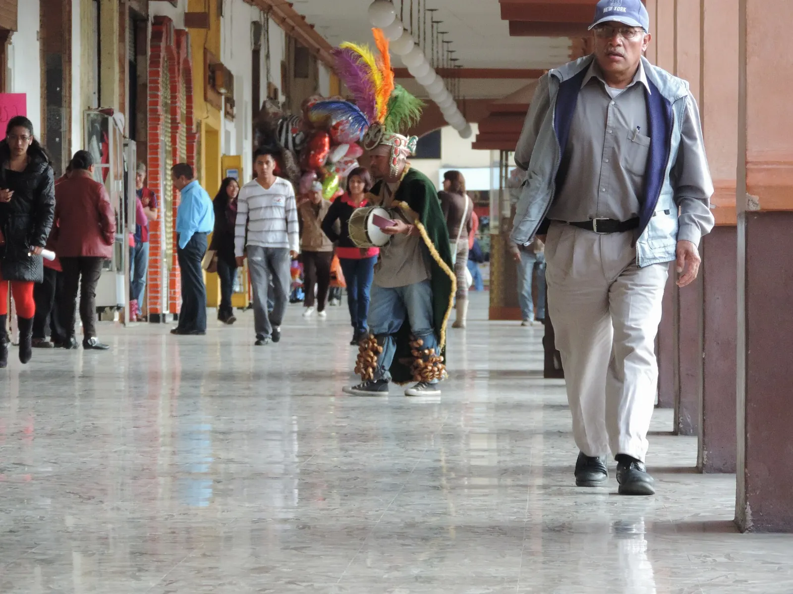
The Portales are the arcaded streets of the historic centre, with shops, cafes and restaurants under long colonnades. They are the best base for exploring on foot, because parks, churches, theatres and museums are all within walking distance. Spend an evening here after the cold of the mountain.
The Portales are the arcaded streets at the heart of historic Toluca. Photo: Emiglex, Wikimedia Commons, CC BY-SA 4.0
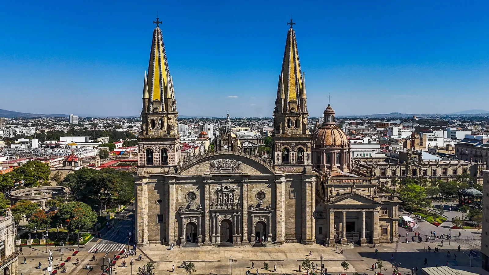
Toluca Cathedral
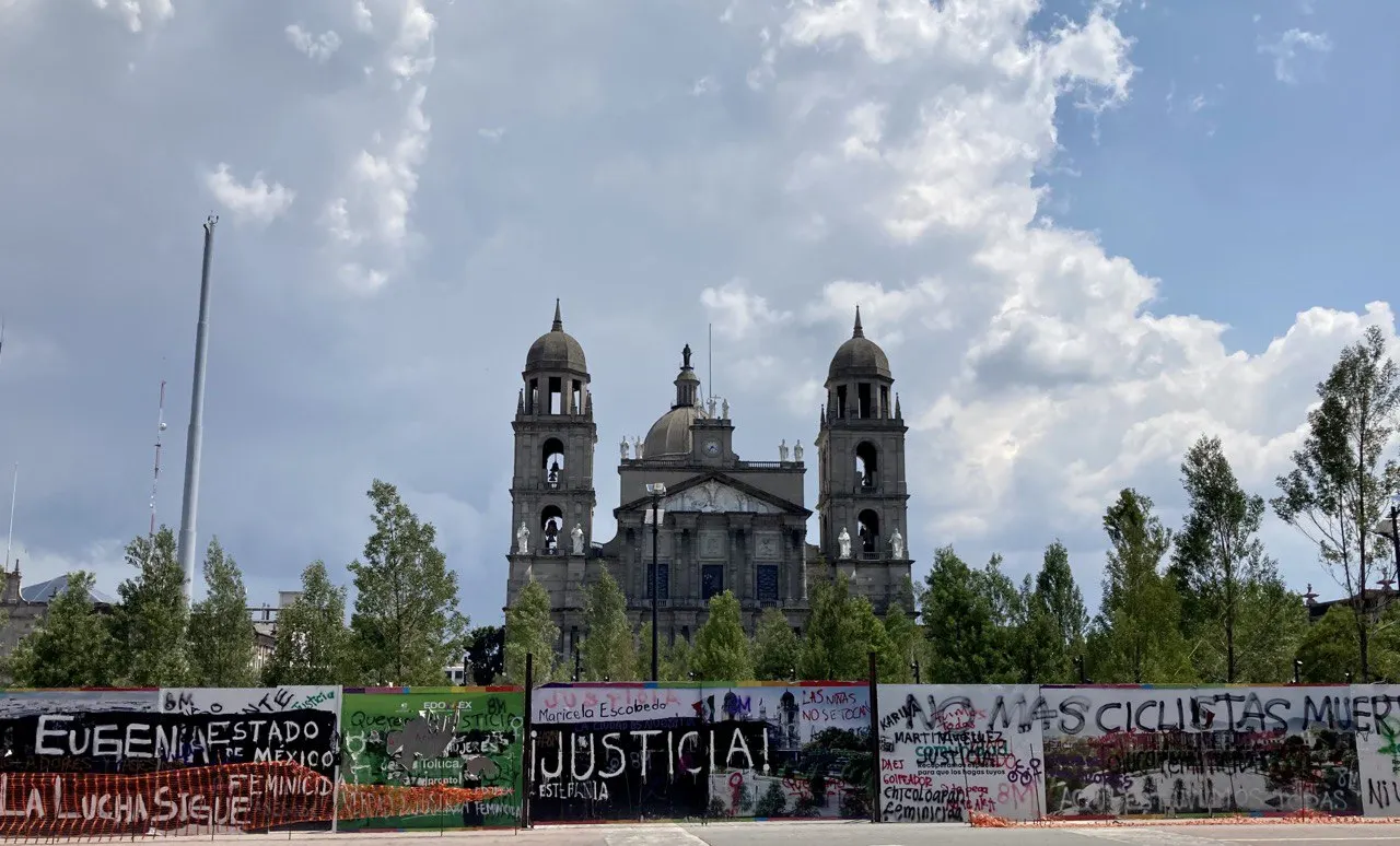
The Catedral de San José de Nazaret is neoclassical in style. It was begun in 1867 but not finished until the middle of the twentieth century. Look at the front for the carved figures of apostles, and allow half an hour.
Toluca Cathedral is a neoclassical church begun in 1867. Photo: Alanarce, Wikimedia Commons, CC BY 4.0
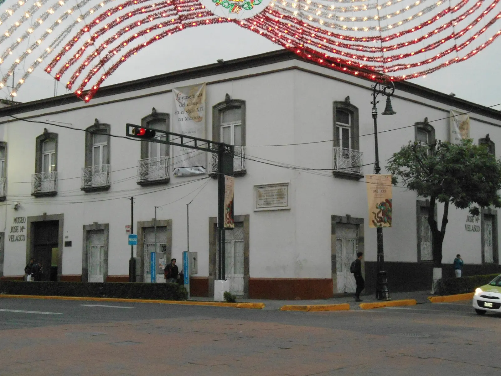
Museo del Paisaje José María Velasco
This small museum is devoted to Velasco, the best-known Mexican landscape painter of the nineteenth century. Most works on display are smaller pieces and make a calm contrast with the vastness of the volcano. It suits an easy hour in the afternoon.
The Museo del Paisaje is dedicated to the landscape painter José María Velasco. Photo: Morack, Wikimedia Commons, CC BY-SA 3.0
Ad
Food and local flavors
Toluca is famous for alfeñiques, sugar figures shaped as skulls, coffins, angels and animals that appear around Day of the Dead, when the city holds an annual Alfeñique Fair. Buy a small piece and treat it as a souvenir rather than a snack.
Alfeñiques are sugar figures made around Day of the Dead, with Toluca as a main production centre.Photo: Avecus, Wikimedia Commons, CC0
Near the mountain, trout farms supply restaurants, so look for trucha grilled or prepared with garlic and chile. In Toluca and Metepec, weekend tables are built around barbacoa and tamales, typical of the State of Mexico. For a casual meal, try the eateries in the big Toluca bus terminal or the weekly tianguises in nearby Metepec, where regional street food is easy to find.
Popular dishes to try in Nevado de Toluca
Alfeñiques Food and local flavorsToluca is famous for alfeñiques, sugar figures shaped as skulls, coffins, angels and animals that appear around Day of the Dead, when the city holds an…Photo: Tomascastelazo, Wikimedia Commons, CC BY-SA 3.0Trucha Alfeñiques are sugar figures made around Day of the Dead, with Toluca as a main production centre.Photo: Avecus, Wikimedia Commons, CC0 Near the mountain, trout farms supply…Photo: Q'orikenti, Wikimedia Commons, CC BY-SA 4.0Barbacoa In Toluca and Metepec, weekend tables are built around barbacoa and tamales, typical of the State of Mexico.Photo: Equipo 9mkt, Wikimedia Commons, CC BY-SA 3.0Tamales In Toluca and Metepec, weekend tables are built around barbacoa and tamales, typical of the State of Mexico.Photo: Usernet123u, Wikimedia Commons, CC BY-SA 4.0
Where to stay
The park itself offers only basic shelters and camping, so most visitors sleep in the valley and drive up in the morning.
Toluca centro is the best base for most people. The Portales, museums and restaurants are all within walking distance, buses and the train arrive here, and taxis are easy to find.
Metepec suits travellers who want a calmer, more charming town with cafes, craft shops and bars, only a short ride east of Toluca.
Zinacantepec lies on the volcano side of the valley and is a sensible choice if you want to shorten the drive to the park and visit its former convent museum. Another option for early starts is the small community of Temascaltepec near the Las Raíces entrance; check what accommodation is available before relying on it.
Where to stay in Nevado de Toluca
Toluca centro Toluca centro is the best base for most people.Photo: Ana Paula Tello, Wikimedia Commons, CC BY-SA 2.0Metepec Metepec suits travellers who want a calmer, more charming town with cafes, craft shops and bars, only a short ride east of Toluca.Photo: nikolas jurado cordo…, Wikimedia Commons, CC BY 3.0Zinacantepec Zinacantepec lies on the volcano side of the valley and is a sensible choice if you want to shorten the drive to the park and visit its former convent museum.Photo: Avecus, Wikimedia Commons, CC0
Ad
Best time to visit
The mountain is cold all year, and frost or snow can appear in any month. Winter, from November to April, is dry and often the clearest season, with March the driest month. The summit area can be snowy from November to March, which is when many people from Mexico City come up to see white ground.
Summer, from May to October, brings heavy rain and fog, with July the wettest. Fog hides the lakes on many days, so mornings are best. In the city, the Alfeñique Fair around Day of the Dead and the Toluca international film festival bring extra life to the streets. Always confirm the park's status before travelling.
Getting there and getting around
Toluca International Airport has domestic flights from several Mexican cities, and the airport has a station for El Insurgente commuter trains. Many international visitors fly to Mexico City instead. A bus station inside Terminal 1 of the Mexico City airport has departures for Toluca every half hour, and buses leave from the Observatorio terminal every few minutes.
El Insurgente train also runs between Observatorio in Mexico City and Toluca Centro station. Toluca has one of the largest bus terminals in the country, and taxis are plentiful in the compact centre.
The park is about 45 kilometres from Toluca and 135 from Mexico City. Without a car, plan your ride to the entrance in advance with a local tour or a taxi, because regular public transport up the mountain is limited. Drive carefully on the winding road.
Ad
A suggested itinerary
First day
Start early in Toluca, drive to Las Raíces and climb to the gate outside the crater. Walk in to the Laguna del Sol and the Laguna de la Luna, then return before the afternoon cold and fog arrive, if the park is open.
Second day
Spend the morning in central Toluca at the Cosmovitral and the cathedral, and have lunch under the Portales. In the afternoon visit the Museo del Paisaje, then end with a barbacoa dinner or a drive to Metepec.
Practical tips
Check the official status of Nevado de Toluca National Park before travelling, because it was closed indefinitely in August 2025.
Take warm layers, a waterproof jacket and sun protection, since the summit is much colder than the city.
Toluca stands at about 2,660 metres, so take the first day easily if you feel the altitude.
Do not drive into the crater; vehicles have been banned there since 2008 to protect the soft soil.
Leave the crater area early enough to descend before dark.
Avoid arriving in Toluca on a Friday, when a flea market clogs many streets.
Check your government's current travel advisory before you go.