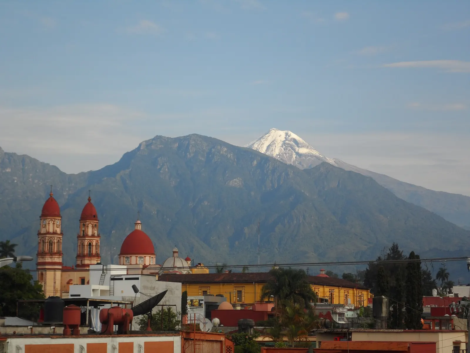
WiserMap — Choose wisely. Connect locally.Choose wisely. Connect locally.Add your business
Pico de Orizaba, Veracruz · Travel guide

Pico de Orizaba Mexico Highest Peak and Glacier Views

Pico de Orizaba rises to 5,636 metres on the border of Veracruz and Puebla, the highest volcano and the highest mountain in Mexico. On clear mornings the snowy cone floats above the farms, coffee slopes and rooftops of the valley below, and the nearby towns make an easy base for views, short hikes and good food.

By WiserMap TravelUpdated October 2026 8 places10 min read
FacebookXLinkedIn
At a glance Pico de Orizaba
  1. Best timeThe dry season from late autumn to early spring gives the clearest mornings and best views of the summit.
  2. How longAllow three to four days for the mountain, Orizaba city and the valley towns.
  3. Getting thereFly to Mexico City, Puebla or Veracruz and continue by road to Orizaba, about 200 km east of Mexico City.

Why visit Pico de Orizaba

The volcano is the main event. Its Nahuatl name, Citlaltépetl, means Star Mountain, and the snow cap is visible for hundreds of kilometres around.

What makes the area worth a longer stay is the variety. Within an hour you can go from alpine tundra to subtropical forest, then to a river canyon, a cable car and a plaza with an iron palace.

The mountain and its foothills

Pico de Orizaba (Citlaltépetl)

The volcano is dormant but not extinct, and its last eruption was in 1846. Most visitors admire it from valley viewpoints or walk on the lower slopes within the national park.

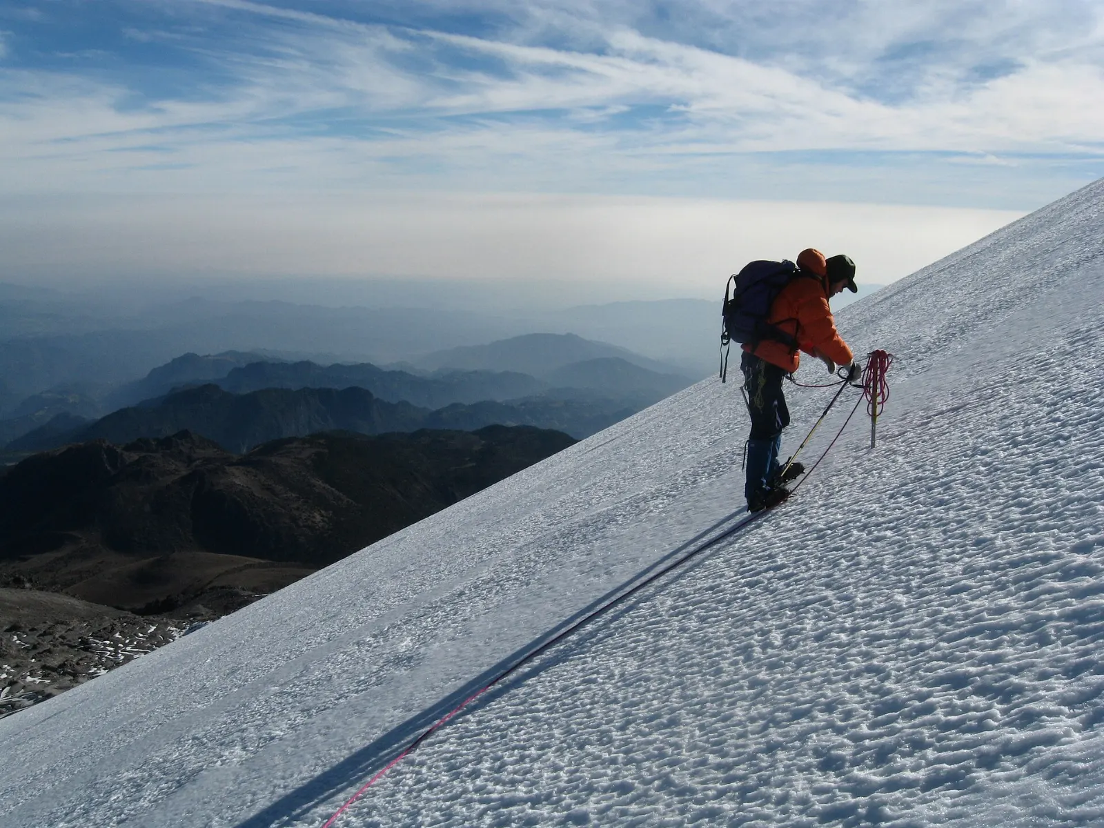
Ice and snow on the upper slopes of Pico de Orizaba, Veracruz

Gran Glaciar Norte

This is the largest glacier in Mexico and one of only three volcano glaciers in the country. It fills a basin on the northern side and feeds several outlet glaciers, with the most gradual northwestern slopes forming the route most climbers use.

Gran Glaciar Norte is the largest glacier in Mexico and covers the northern slopes of the volcano. Photo: Nick Moyes, Wikimedia Commons, CC BY-SA 3.0
The Large Millimeter Telescope dish on the summit of Sierra Negra, Pico de Orizaba, Veracruz

Sierra Negra and the Large Millimeter Telescope

A companion peak about six kilometres southwest of Pico de Orizaba, Sierra Negra is lower but still above 4,600 metres. A road climbs to the Gran Telescopio Milimétrico, a 50 metre radio dish at roughly 4,850 metres, and it is described as the highest road in North America.

The Large Millimeter Telescope sits at about 4,850 metres on Sierra Negra beside Pico de Orizaba. Photo: User:Mave21, Wikimedia Commons, Public domain

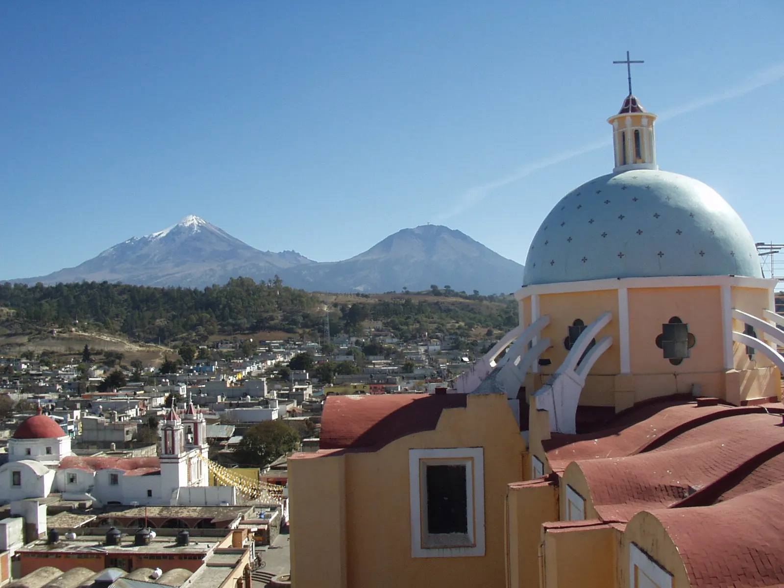
Town of Tlachichuca at the foot of Pico de Orizaba, Veracruz

Tlachichuca

This Puebla town is the starting point for many climbers and a good place to arrange guides and transport. The streets are quiet and the view of the cone is excellent in the morning.

Tlachichuca is a Puebla town that serves as a starting point for many climbers of Pico de Orizaba. Photo: Arsenio Aram, Wikimedia Commons, CC0

Orizaba city

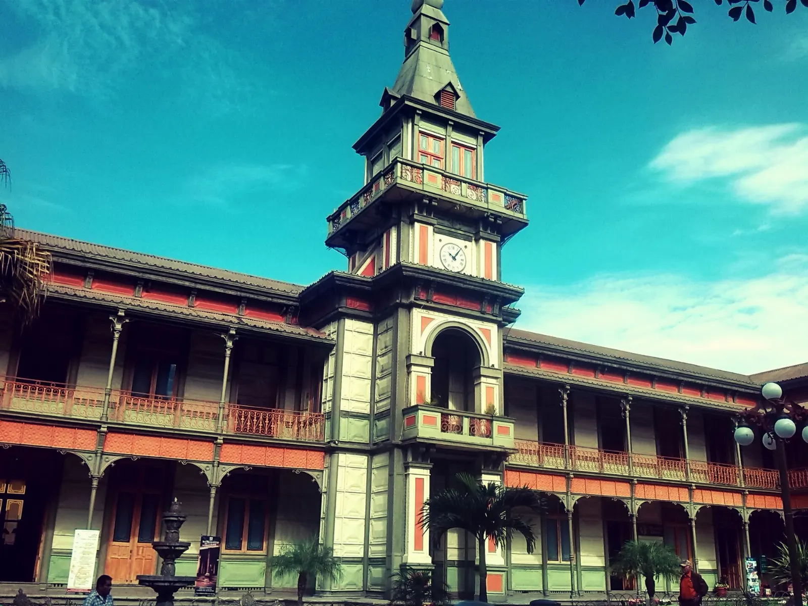
The Iron Palace in the centre of Orizaba, Pico de Orizaba, Veracruz

Palacio de Hierro

The old city hall, nicknamed the Iron Palace, was designed by Gustave Eiffel and built from 1891 to 1894. Its steel parts came from Belgium and were assembled in the centre of town.

The Iron Palace, designed by Gustave Eiffel, was built in Orizaba between 1891 and 1894. Photo: Isaacvp, Wikimedia Commons, CC BY-SA 4.0

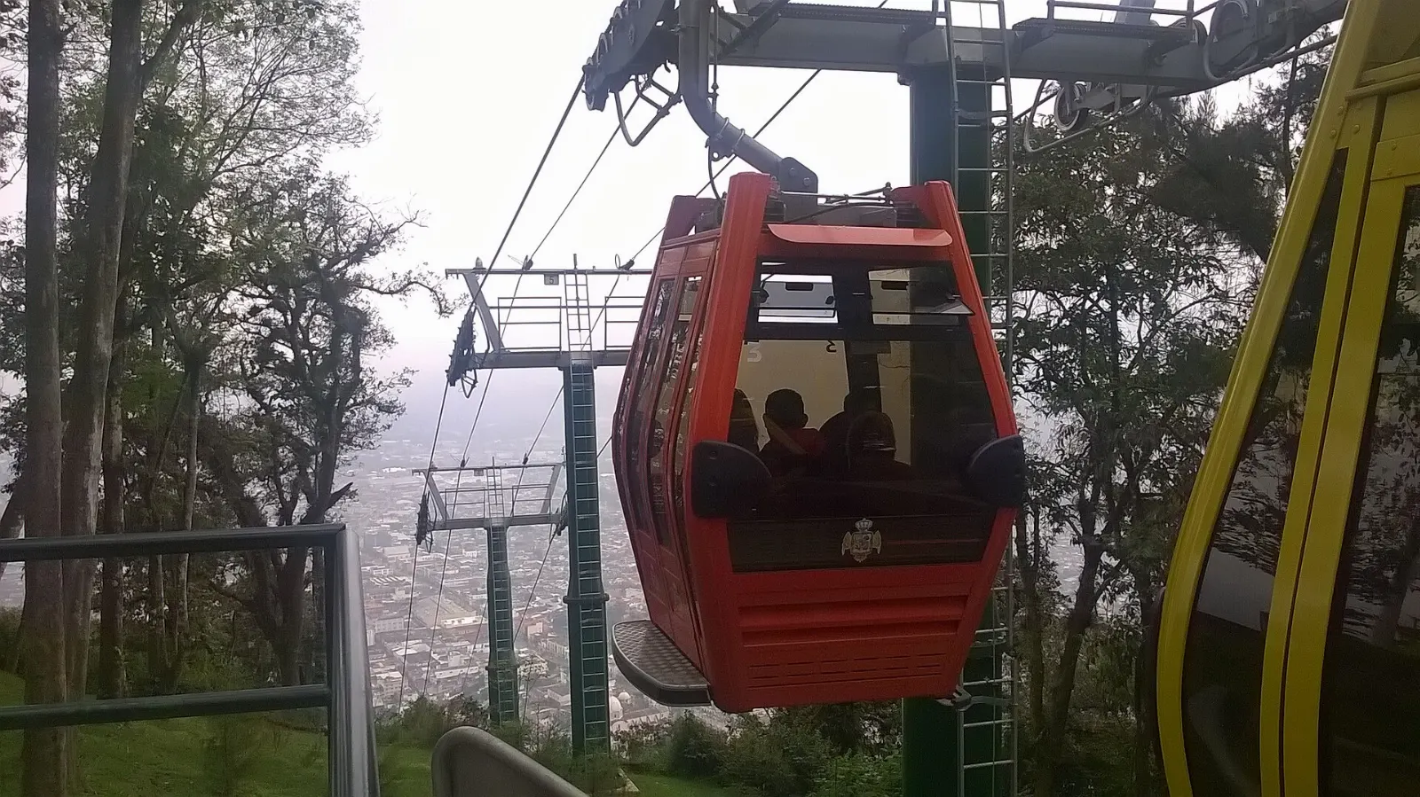
Hill of Cerro del Borrego above the city of Orizaba, Pico de Orizaba, Veracruz

Cerro del Borrego

A cable car runs to the top of the hill, and a trail also leads up if you prefer to walk. The view toward Pico de Orizaba is at its best in the morning, when the eastern sun lights the mountain.

Cerro del Borrego is reached by cable car or on foot and has views toward Pico de Orizaba. Photo: Isaacvp, Wikimedia Commons, CC BY-SA 4.0

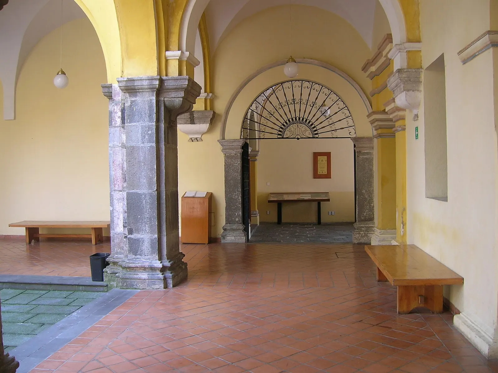
Facade of the Museo de Arte del Estado in Orizaba, Pico de Orizaba, Veracruz

Museo de Arte del Estado

This museum is the city's main art space and a good indoor stop if cloud rolls in over the valley. Plan an hour for the galleries.

The Museo de Arte del Estado is one of the main art museums in Orizaba. Photo: Xapaxava, Wikimedia Commons, CC BY-SA 3.0

Parque Castillo and the churches

The central park, often called Parque Castillo, has a theatre with frequent free music or plays in the evening.

Eco Parque Río

The Orizaba river runs through the city, and a riverside trail called the Riverwalk leads past a small park with wild and domesticated animals.

The valley and the canyon

Green ravine of Metlac near Fortín de las Flores, Pico de Orizaba, Veracruz

Fortín de las Flores and the Metlac ravine

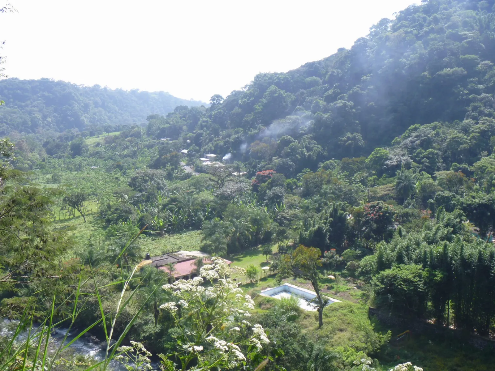
Fortín de las Flores sits on the old road and rail line between Mexico City and Veracruz and is known for its warm, even climate and its flowers. The ravine of Metlac is the most famous feature, with a green gorge that is best viewed from the edge.

The ravine of Metlac is the best-known feature of Fortín de las Flores. Photo: Hunda, Wikimedia Commons, CC BY-SA 2.0

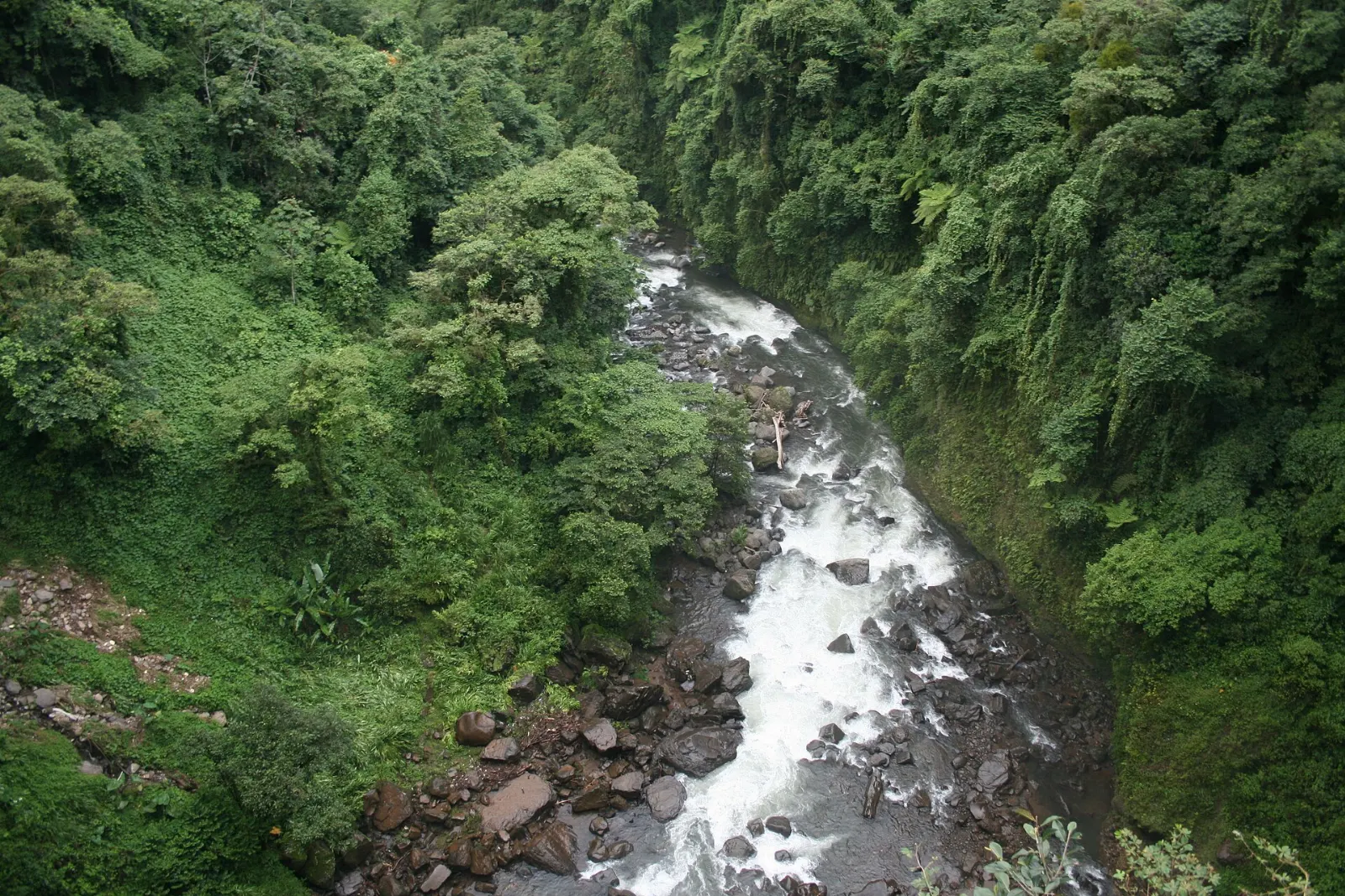
River and forested slopes in the Cañón del Río Blanco, Pico de Orizaba, Veracruz

Cañón del Río Blanco National Park

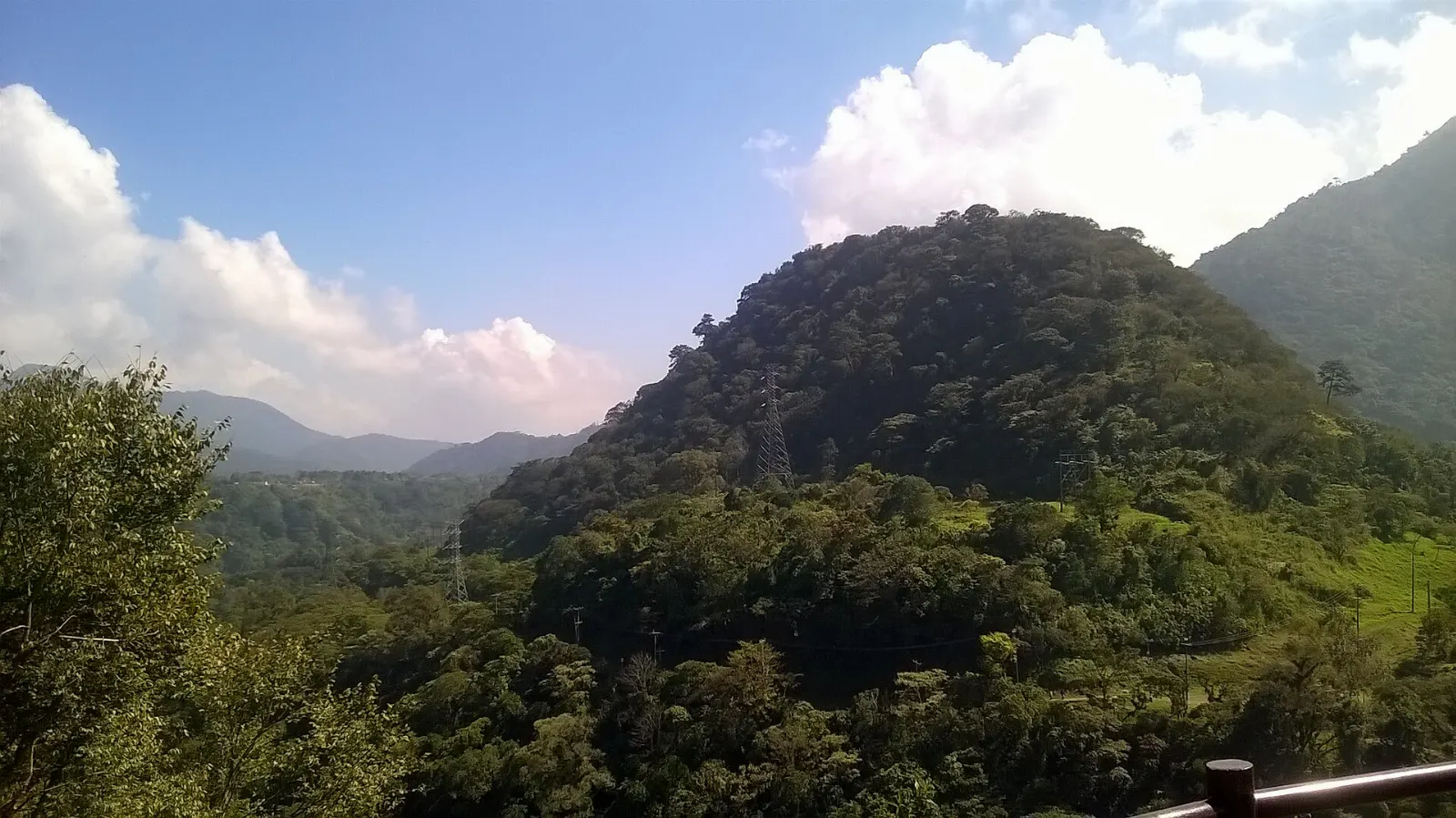
The park covers the upper watershed of the Río Blanco, where the river has cut a canyon through the Sierra Madre de Oaxaca with rapids and waterfalls. The forests range from pine and oak to rain forest.

Cañón del Río Blanco National Park protects the upper watershed of the Río Blanco. Photo: Isaacvp, Wikimedia Commons, CC BY-SA 4.0

Food and local flavors

The Orizaba valley mixes coastal Veracruz cooking with mountain traditions based on corn, beans, mushrooms and greens. Try picaditas, thick corn cakes topped with sauce, cheese and onion, and look for mole xiqueño, a sweet and rich sauce named after the town of Xico.

Coffee is grown on the slopes around Orizaba, so a cup of Veracruz coffee is a natural stop in any plaza. For a wider choice, walk through the central market of Orizaba or the food stalls around the plazas in Fortín de las Flores and Córdoba, and ask what is in season.

Popular dishes to try in Pico de Orizaba

Picaditas in Pico de Orizaba, Veracruz
Picaditas Try picaditas, thick corn cakes topped with sauce, cheese and onion, and look for mole xiqueño, a sweet and rich sauce named after the town of Xico.Photo: Isaacvp, Wikimedia Commons, CC BY-SA 4.0
Veracruz coffee in Pico de Orizaba
Veracruz coffee Coffee is grown on the slopes around Orizaba, so a cup of Veracruz coffee is a natural stop in any plaza.Photo: AlejandroLinaresGarcia, Wikimedia Commons, CC BY-SA 4.0
Zacahuil in Pico de Orizaba, Veracruz
Zacahuil In the highlands you may also find zacahuil, a giant tamale wrapped in banana or papatla leaves, usually made for celebrations.Photo: Elizabethcasasola, Wikimedia Commons, CC BY-SA 4.0

Where to stay

Orizaba is the best all-round base.

Fortín de las Flores is greener and slower, with a mild climate and gardens, and it suits couples and travelers who want a quiet stay near the Metlac ravine.

Tlachichuca is the practical choice for climbers who want an early start toward the mountain.

Córdoba, a short drive east of Orizaba, adds a larger city with more dining and evening life, and it works well if you plan to combine the volcano with the coffee country.

Where to stay in Pico de Orizaba

Orizaba, Pico de Orizaba, Veracruz
Orizaba Where to stayOrizaba is the best all-round base.Photo: México en Fotos, Wikimedia Commons, CC BY-SA 2.0
Fortín de las Flores, Pico de Orizaba, Veracruz
Fortín de las Flores Fortín de las Flores is greener and slower, with a mild climate and gardens, and it suits couples and travelers who want a quiet stay near the Metlac ravine.Photo: Pandasutra, Wikimedia Commons, CC BY-SA 4.0
Tlachichuca, Pico de Orizaba, Veracruz
Tlachichuca Tlachichuca is the practical choice for climbers who want an early start toward the mountain.Photo: Lynx Burgos, Wikimedia Commons, CC BY-SA 3.0
Córdoba, Pico de Orizaba, Veracruz
Córdoba Córdoba, a short drive east of Orizaba, adds a larger city with more dining and evening life, and it works well if you plan to combine the volcano with the coffee country.Photo: Jose María Ligero Loarte, Wikimedia Commons, CC BY-SA 4.0

Best time to visit

The best views of the volcano come in the dry season, roughly from late autumn to early spring, when mornings are often clear and cold at altitude. Autumn and winter can bring frequent freezes and light snow higher up.

Summer and early autumn are rainy, and the eastern side of the volcano is often wrapped in fog and cloud. Valley towns stay mild all year, so Orizaba and Fortín de las Flores are enjoyable in any season.

Getting there and getting around

The nearest major airports are Mexico City, Puebla and Veracruz, and the volcano lies roughly 200 km east of Mexico City and about 110 km west of the port of Veracruz. Orizaba is on federal highways 180 and 190, and intercity buses link it with Mexico City, Puebla, Veracruz and Córdoba.

Once you are in the valley, local buses and taxis cover Orizaba, Fortín de las Flores and Córdoba easily. A rental car is useful for Tlachichuca, the mountain roads and the canyon, though many climbers arrange guide transport instead.

A suggested itinerary

First day

Arrive in Orizaba, walk to the Iron Palace and Parque Castillo, then ride the cable car up Cerro del Borrego for the late-afternoon view of the volcano.

Second day

Head to the Museo de Arte del Estado in the morning, stroll the Riverwalk and Eco Parque Río, then spend the afternoon in Fortín de las Flores and the Metlac ravine.

Third day

Drive toward Tlachichuca and Sierra Negra with a guide for mountain views, or visit Cañón del Río Blanco National Park for a forest and river day.

Fourth day

Take it easy in Córdoba for coffee and market food before heading back toward Puebla, Veracruz or Mexico City.

Practical tips

  • Check your government's current travel advisory before you go.
  • Hire a certified local guide for any climb above the tree line and allow days to acclimatize.
  • Bring layers, a hat and sun protection, because weather changes quickly at altitude.
  • Start early for the clearest views, as clouds often gather by midday.
  • Ask about access and permits for the national park and the telescope road before you travel.
Pico de OrizabaWISERMAP PLACEPico de Orizaba: photos, reviews & things to doSee traveler photos and reviews, or share your own →

More places to visit

All travel guides →