Teotihuacan is the largest ancient city of the Americas and one of the grandest archaeological sites in Mexico. It lies in the State of Mexico, about 40 kilometers northeast of Mexico City, and it is a UNESCO World Heritage Site. The Pyramids of the Sun and Moon dominate a wide avenue lined with temples and painted palaces. Most visitors come on a day trip from the capital, but the area rewards those who stay longer.
By WiserMap TravelUpdated October 20267 places11 min read
Best timeArrive early on a weekday in the dry season, before the midday sun and the tour groups.
How longAllow a full day, or two to see the museums and painted palaces outside the main zone.
Getting thereBuses leave Mexico City about every half hour, or drive in around 45 minutes by toll highway.
Ad
Why visit Teotihuacan
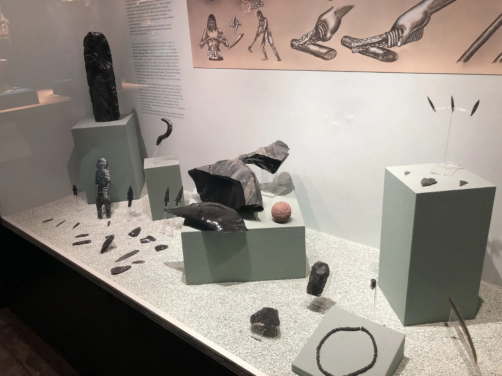
At its height the city was the largest in Mesoamerica, home to as many as 150,000 people according to some estimates, at about the same time as the Roman Empire. Its influence reached the Maya region and Veracruz, and its wall paintings and obsidian tools are found across the country.
The Aztecs arrived long after the city fell, found it in ruins and gave the site its present names, including the Avenue of the Dead. The name Teotihuacan is Nahuatl for the place where the gods were born, and the scale of the monuments still explains why.
Archaeologists still debate whether Teotihuacan ruled an empire or sat at the center of a vast trade network. Obsidian from nearby mines made the city rich, and its apartment compounds housed people from across Mesoamerica. Walking the avenue, you see only part of a much larger urban plan.
The great pyramids and the Avenue of the Dead
Pyramid of the Sun
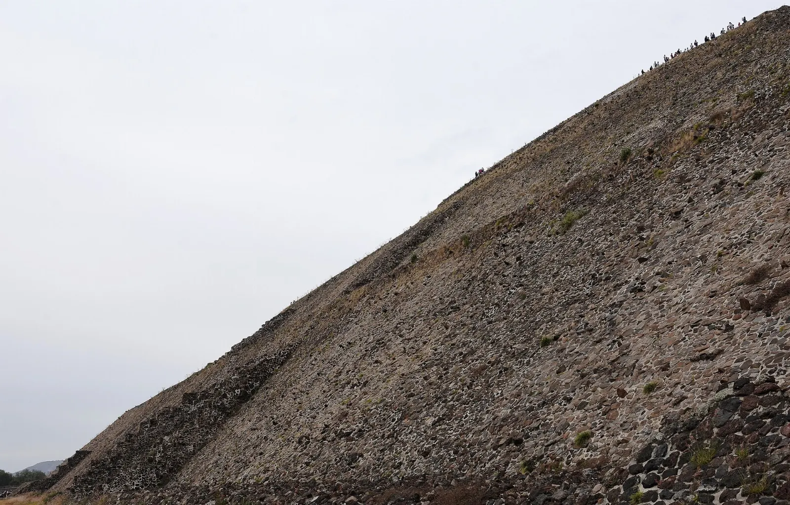
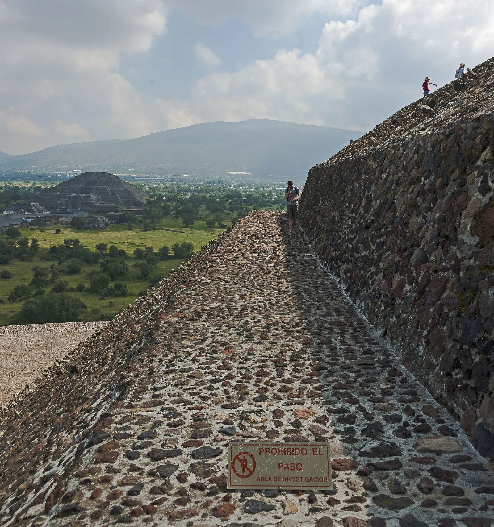
The largest pyramid at Teotihuacan stands about 71 meters tall near the middle of the zone. It was built around 200 AD, and it is aligned with Cerro Gordo and with sunrise and sunset on specific dates. Climbing has been on and off because of restoration work, so check whether the stairs are open before you go.
Pyramid of the Moon
At the north end of the avenue, the Pyramid of the Moon mirrors the outline of Cerro Gordo behind it. It was used for ceremonies and rituals honoring the Great Goddess of Teotihuacan. When climbing is permitted, the lower platform gives a long view down the avenue, so allow about an hour here.
The Pyramid of the Moon mirrors the shape of Cerro Gordo, the mountain behind it. Photo: Daniel Case, Wikimedia Commons, CC BY-SA 3.0
Avenue of the Dead
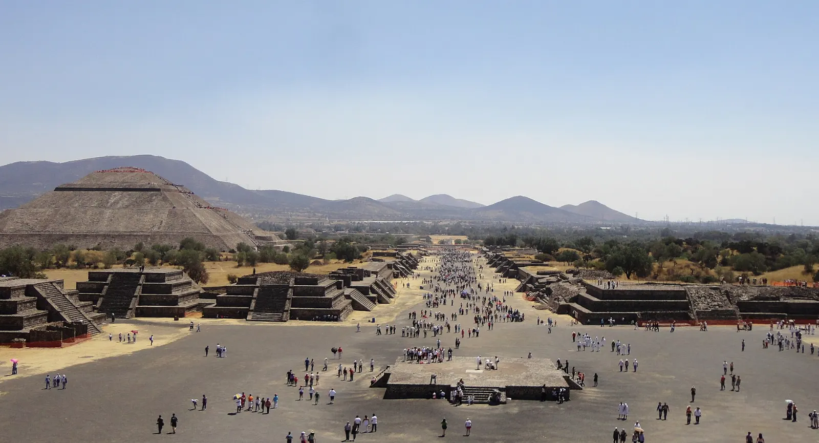
This broad road runs about two kilometers through the center of the city and links its main monuments. The Aztecs believed it was paved with tombs, hence the name. Walk it slowly and look at the smaller temples along the sides, then plan your energy for the return walk.
The Avenue of the Dead is a central road about two kilometers long that links the main monuments. Photo: Juan Carlos Fonseca Mata, Wikimedia Commons, CC BY-SA 4.0
Temple of Quetzalcoatl
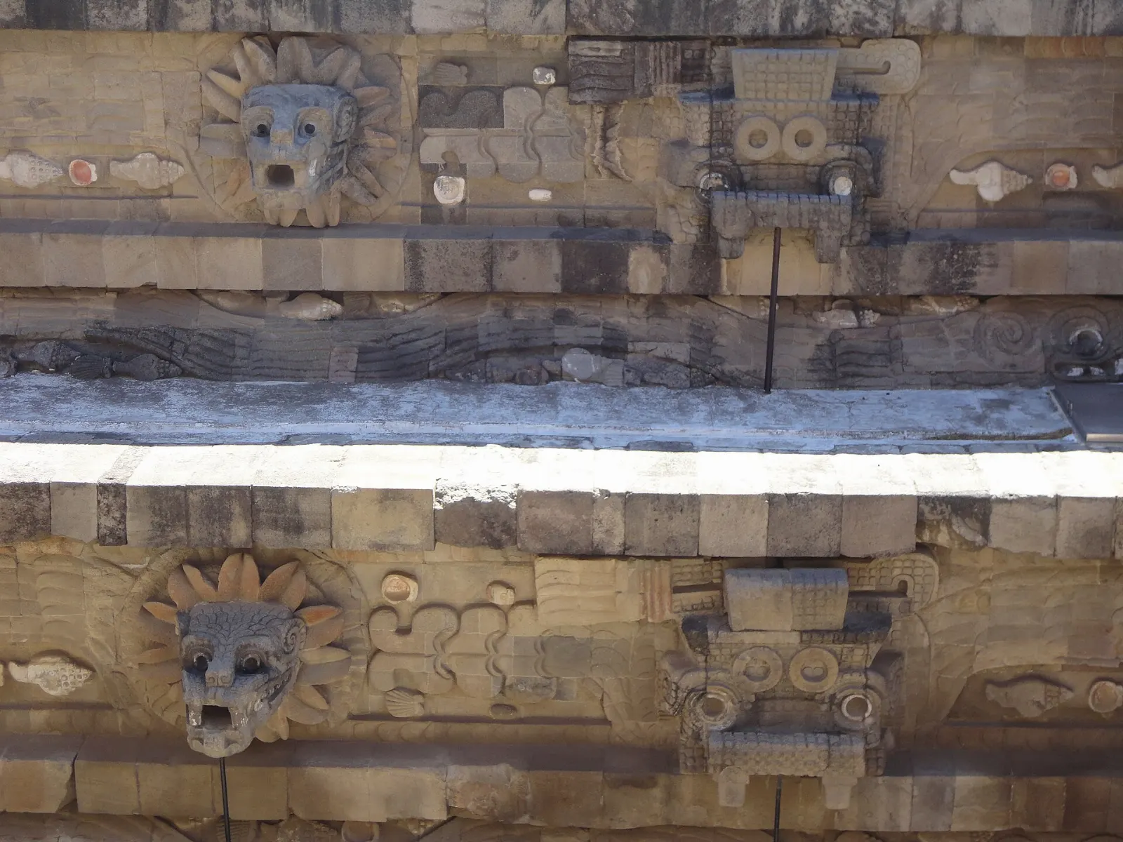
Near the southern end, this temple is the third largest pyramid in the complex and one of the most sacred. Its sides are covered in stone heads associated with the feathered serpent, and more than a hundred possible sacrificial victims were buried beneath it. It is a short walk from Puerta 1 and a good place to start a visit.
The Temple of Quetzalcoatl is covered with stone heads linked to the feathered serpent. Photo: Juan Carlos Fonseca Mata, Wikimedia Commons, CC BY-SA 4.0
Ad
Palaces, murals and museums
Palace of Quetzalpapálotl
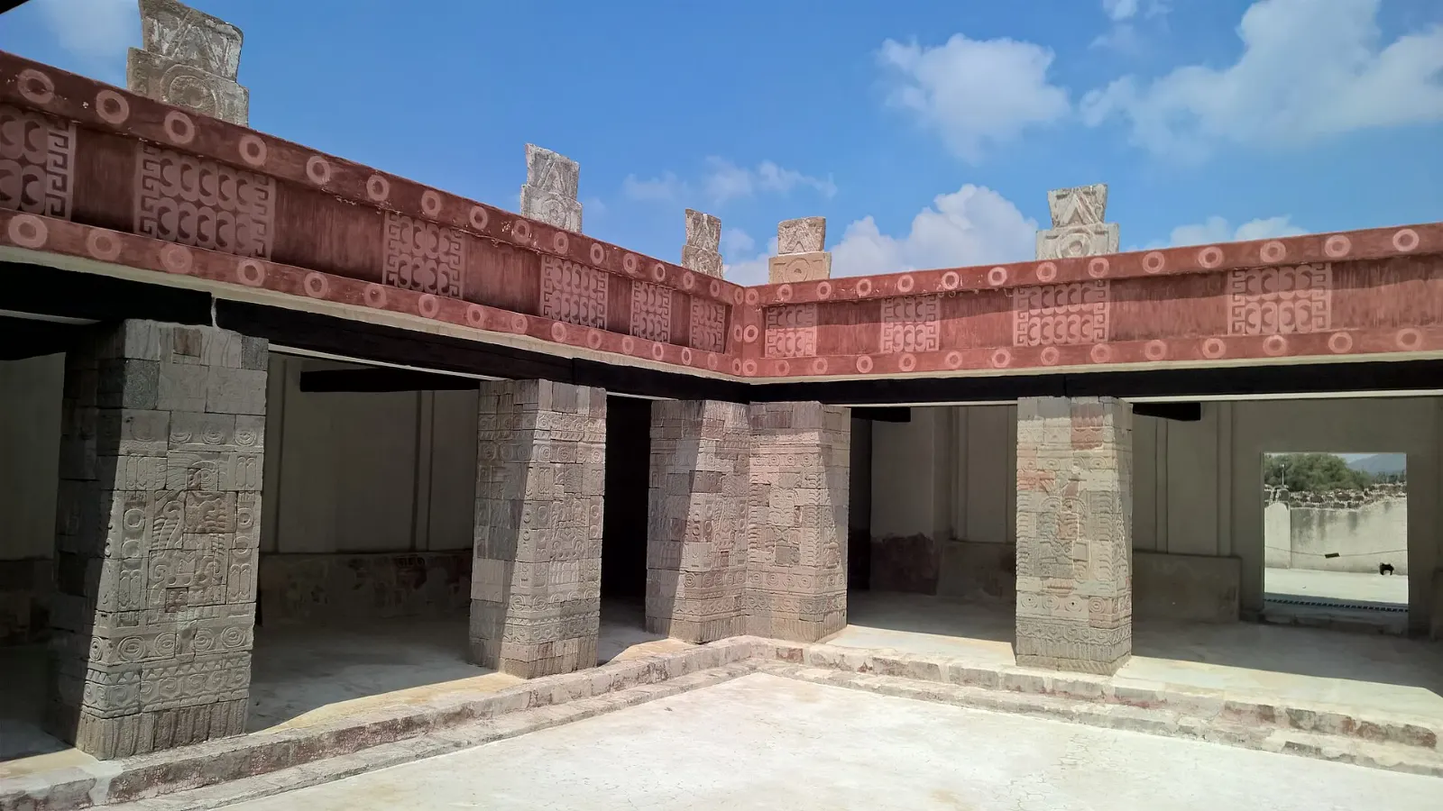
Near Puerta 3, this housing and temple complex is thought to have been the home of a high-ranking priest. Reliefs of mythological birds decorate the courtyard pillars, and the Palace of the Jaguars and the Temple of the Feathered Conches stand close by. Allow forty-five minutes.
The Palace of Quetzalpapalotl takes its name from the reliefs of mythological birds on its courtyard pillars. Photo: MIKHEIL, Wikimedia Commons, CC BY-SA 4.0
Atetelco, Tetitla and Tepantitla
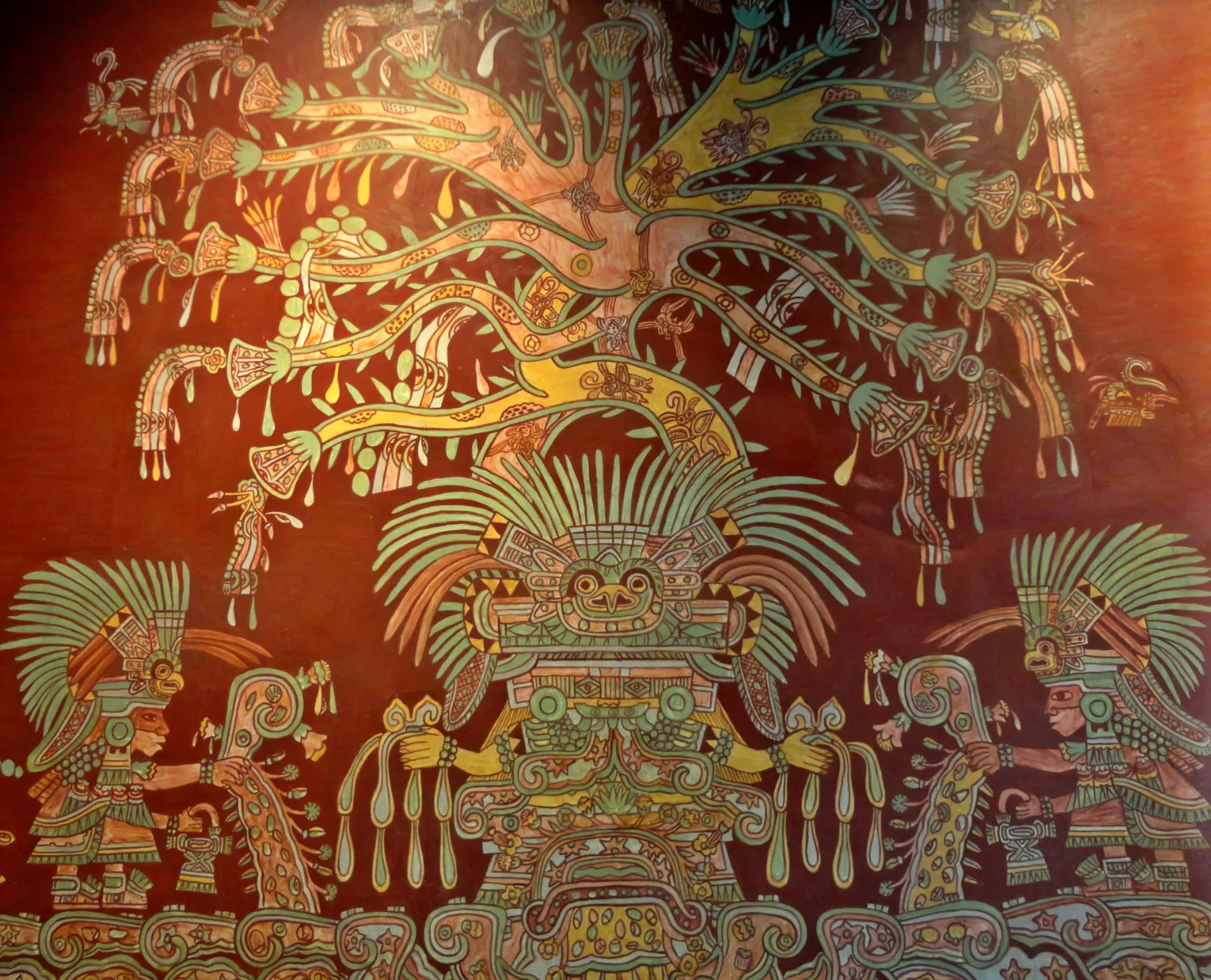
Outside the main zone, these residential compounds hold some of the city's most vivid wall paintings, and entry has been free outside the main park, though it is worth checking locally before you go. They are best reached by car or taxi, and they reward anyone who has time for a second day.
Residential compounds near the main zone preserve some of the city's richest wall paintings. Photo: Juan Carlos Fonseca Mata, Wikimedia Commons, CC BY-SA 4.0
Museo de la Cultura Teotihuacana
Next to the Puerta 5 entrance, this museum has outstanding displays and a miniature recreation of the entire site. Visit it before you walk the zone to understand what you are seeing. Allow an hour.
The museum next to the archaeological zone includes a miniature model of the whole site. Photo: Codas, Wikimedia Commons, CC BY-SA 4.0
Museo de la Grandeza Teotihuacana
Just inside Puerta 1, this two-story museum shows artifacts from the city. Some signs are translated into English and some are not. It is a good shaded break from the sun.
Museo de los Murales Teotihuacanos
A short walk outside Puerta 3, this museum is devoted to the wall paintings of the city. It pairs well with the Palace of Quetzalpapálotl nearby.
Hot air balloon flights
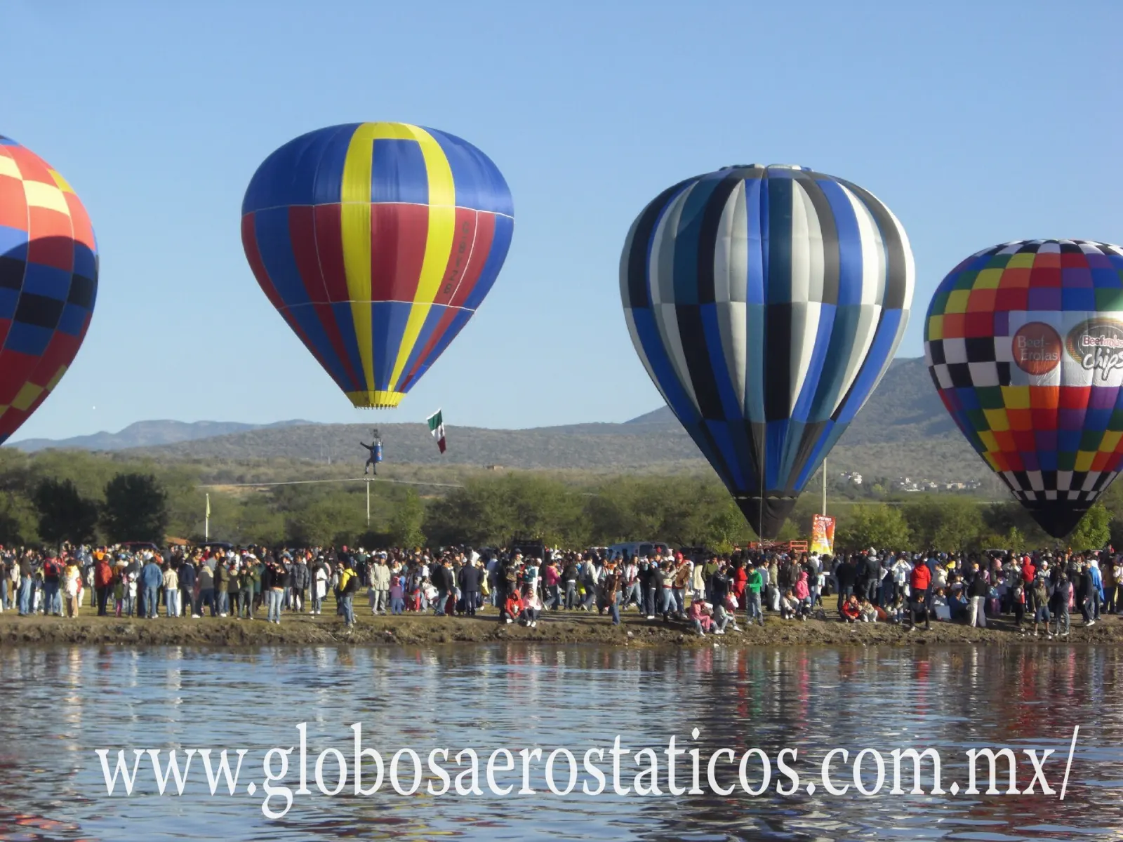
Operators run balloon flights over the pyramids, usually very early in the morning, and some include pickup from Mexico City. Book through a reputable agency, and expect the sunrise to be cold.
Hot air balloon flights over the pyramids usually take place very early in the morning. Photo: Globos aerostaticos, Wikimedia Commons, CC BY-SA 3.0
Food and local flavors
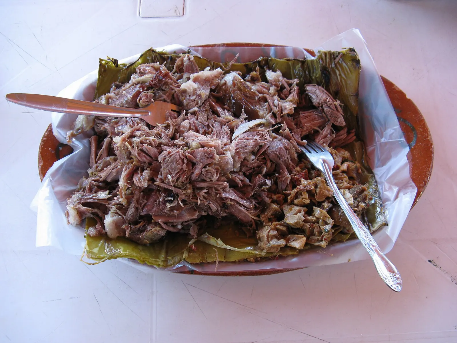
The surrounding valley is maguey country, and the food shows it. Barbacoa, meat slow-cooked in a pit lined with agave leaves, is a weekend classic, usually served with consommé and tortillas. Mixiotes, meat steamed in a wrapper of agave skin, are another regional favorite.
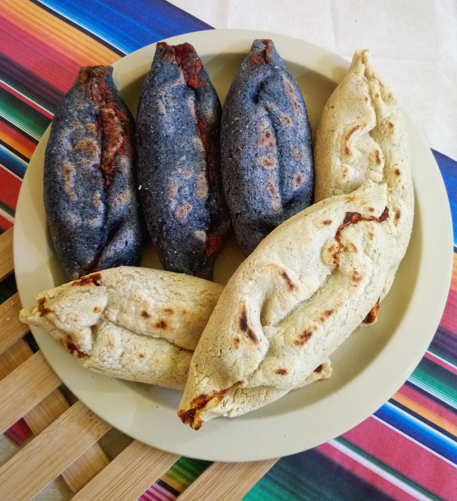
Pulque, the milky drink made from fermented maguey sap, has been made in central Mexico for millennia. For a snack, look for tlacoyos, oval masa cakes stuffed with beans or cheese, at market stalls and at restaurants around the site entrances and in San Juan Teotihuacán.
Barbacoa is slow-cooked meat traditionally steamed in a pit covered with maguey leaves.Photo: Elton Rodriguez, Wikimedia Commons, CC BY-SA 3.0
Barbacoa and tlacoyos both pair well with a fresh salsa and a long lunch after the climb back from the avenue.
Tlacoyos are oval masa cakes of pre-Hispanic origin stuffed with beans, cheese or other fillings.Photo: Dahyana Yasada R. R., Wikimedia Commons, CC BY-SA 4.0
Popular dishes to try in Teotihuacan
Barbacoa Barbacoa, meat slow-cooked in a pit lined with agave leaves, is a weekend classic, usually served with consommé and tortillas.Photo: Equipo 9mkt, Wikimedia Commons, CC BY-SA 3.0Mixiotes Mixiotes, meat steamed in a wrapper of agave skin, are another regional favorite.Photo: Wotancito, Wikimedia Commons, CC BY-SA 4.0Pulque Pulque, the milky drink made from fermented maguey sap, has been made in central Mexico for millennia.Photo: Proyecto Hunab Ku, Wikimedia Commons, CC BY-SA 4.0Tlacoyos For a snack, look for tlacoyos, oval masa cakes stuffed with beans or cheese, at market stalls and at restaurants around the site entrances and in San Juan Teotihuacán.Photo: Arnold Gatilao from Oakland, CA, USA, Wikimedia Commons, CC BY 2.0
Ad
Where to stay
San Juan Teotihuacán is the municipal town, and it suits travelers who want local restaurants, small hotels and an early start. Staying here puts you close to the entrances and avoids the long commute from the capital.
San Martín de las Pirámides is a smaller town nearby, and it suits visitors who want a quieter base and easy bus service to the pyramids. It also has a bus station with services back to Mexico City.
Centro Histórico in Mexico City suits travelers who want museums, restaurants and a wider choice of rooms, then plan Teotihuacan as a day trip. Book early for November, when balloon festivals and Day of the Dead events bring extra visitors.
Where to stay in Teotihuacan
San Juan Teotihuacán Where to staySan Juan Teotihuacán is the municipal town, and it suits travelers who want local restaurants, small hotels and an early start.Photo: Adert, Wikimedia Commons, CC BY-SA 4.0San Martín de las Pirámides San Martín de las Pirámides is a smaller town nearby, and it suits visitors who want a quieter base and easy bus service to the pyramids.Photo: H.Leonard83, Wikimedia Commons, CC BY-SA 4.0Centro Histórico Centro Histórico in Mexico City suits travelers who want museums, restaurants and a wider choice of rooms, then plan Teotihuacan as a day trip.Photo: Jose María Ligero Loarte, Wikimedia Commons, CC BY-SA 4.0
Best time to visit
The site sits at about 2,300 meters, so mornings can be cold in winter and the midday sun is strong. Shade is limited, so the best hours are early in the day, when mist often lies over the grounds. Group tours tend to arrive around the middle of the morning.
The dry season is more comfortable for walking, while the rainy months in summer bring afternoon showers. On 1 November, a festival marking Day of the Dead includes hot air balloons over the pyramids, with candlelit celebrations in the evening. Expect crowds on weekends and holidays.
Ad
Getting there and getting around
Teotihuacan lies about 40 kilometers northeast of central Mexico City. By car, the toll highway takes about 45 minutes, and there is parking at the site. Buses run about every half hour from the Terminal del Norte and from Potrero Metro station, and the ride takes about an hour from Potrero.
Check that your bus goes to the site entrance and not only to the town of San Juan Teotihuacán, and note whether you were dropped at Puerta 1 or Puerta 2. The return bus usually leaves from the opposite side of the road. Inside the site, the main avenue is about two kilometers long and there is no transport, so expect plenty of walking. Mexico City's airport is the usual gateway for flights.
A suggested itinerary
First day
Arrive early and start at the Temple of Quetzalcoatl, then walk the Avenue of the Dead to the Pyramid of the Moon. Return along the avenue to the Pyramid of the Sun and finish at the museum before the afternoon heat.
Second day
Visit the painted compounds at Atetelco, Tetitla and Tepantitla and the mural museum. Add a balloon flight at dawn if you stayed nearby, and finish with barbacoa in town.
Ad
Practical tips
Bring water, a hat and sunscreen, as shade is limited.
Wear comfortable shoes, since the avenue is long and there is no transport inside.
Pack light, because large bags make the long walk harder.
Ask about the climbing status of each pyramid, since closures for restoration are common.
Check your government's current travel advisory before you go.
Start before the tour groups arrive for the quietest views.
Dress in layers, as early mornings can be cold at this altitude.
Use signs in Spanish and English at the main structures to follow the history.