WiserMap — Choose wisely. Connect locally.Choose wisely. Connect locally.Add your business

Cabot Trail

No reviews yetScenic route Nova Scotia, Canada
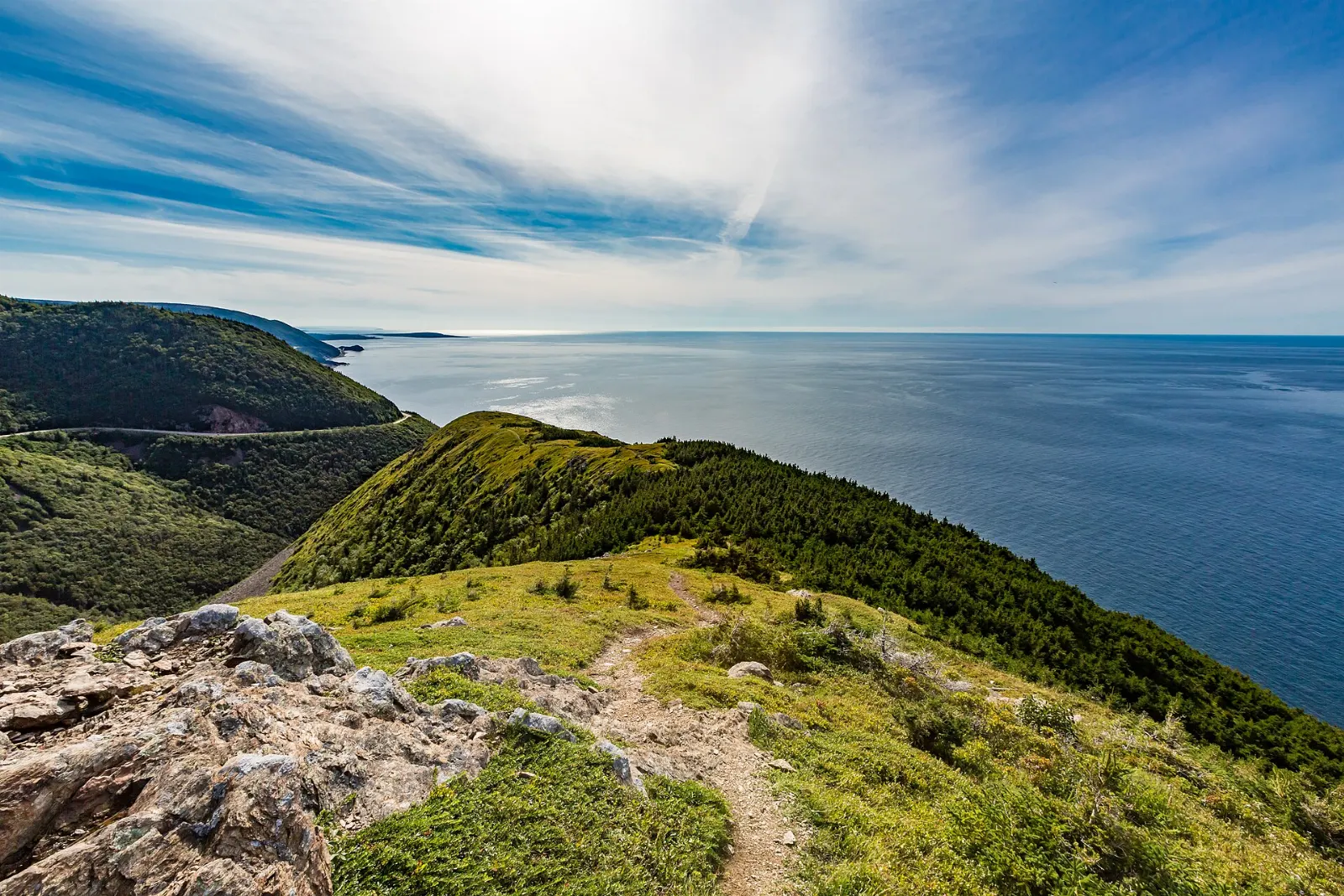
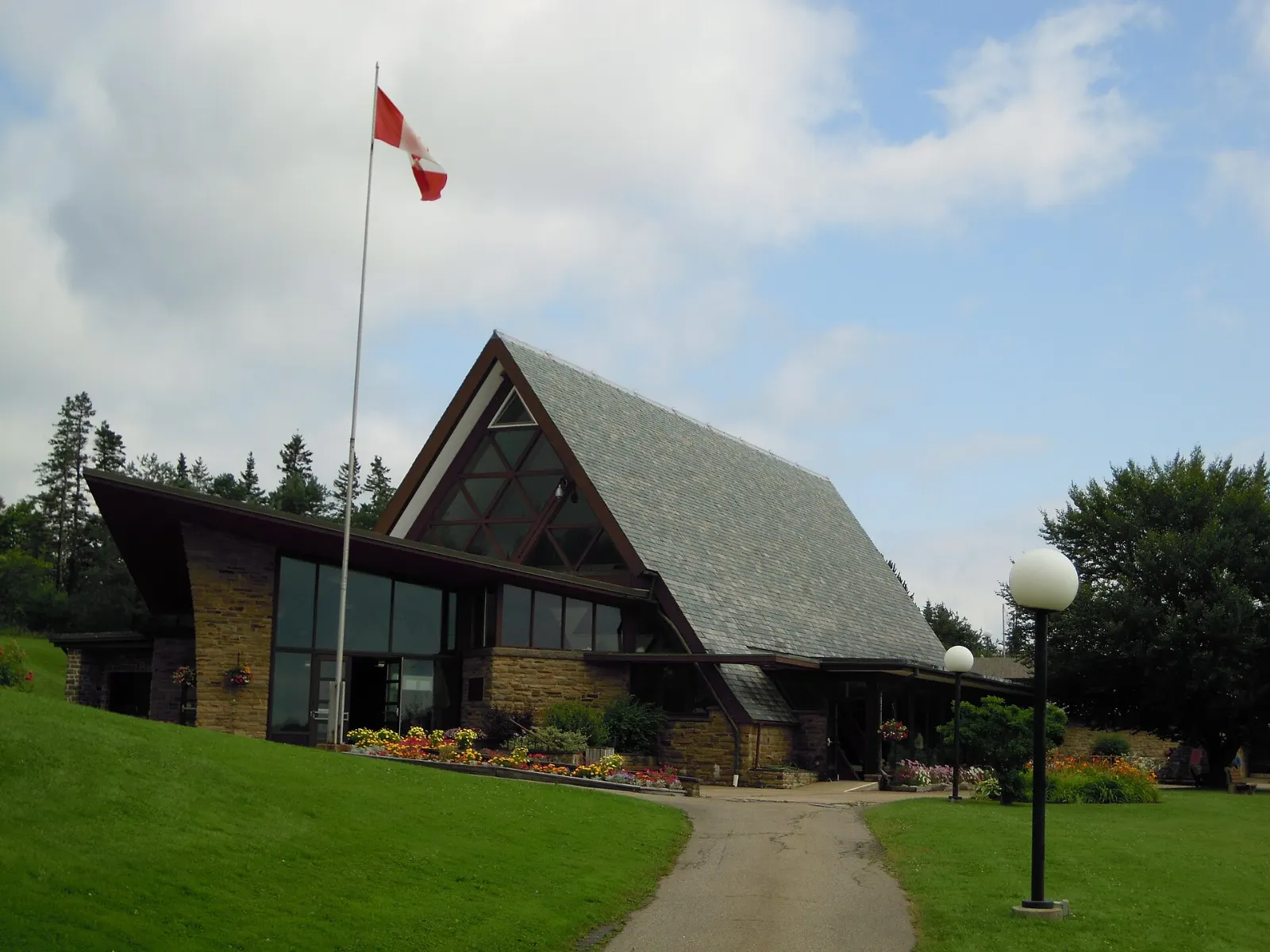
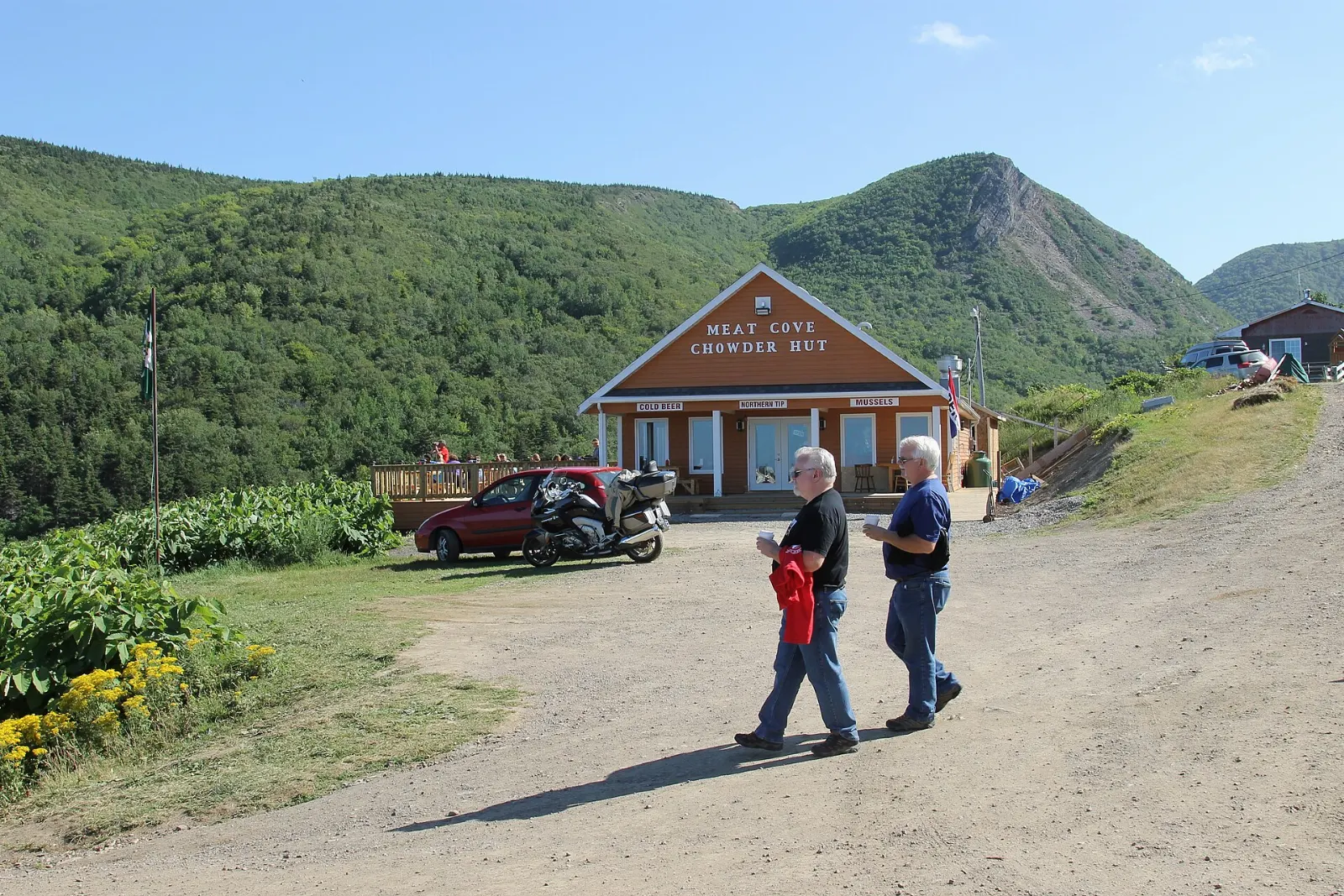
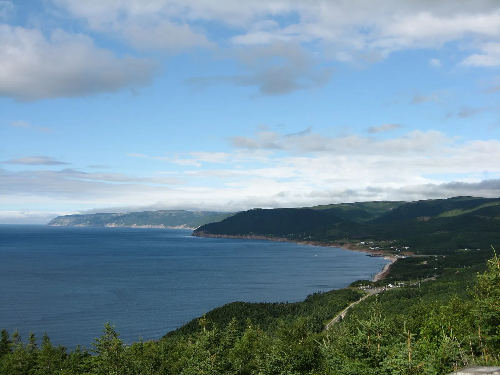
Cabot Trail, Nova Scotia, Canada The Skyline Trail is one of the best known hikes in Cape Breton Highlands National Park, Cabot Trail, Nova Scotia The Alexander Graham Bell National Historic Site in Baddeck overlooks the Bras d'Or Lake, Cabot Trail, Nova Scotia Pleasant Bay is known on Cape Breton Island as a base for whale watching, Cabot Trail, Nova Scotia Meat Cove is the northernmost settlement on Cape Breton Island, Cabot Trail, Nova Scotia

About Cabot Trail

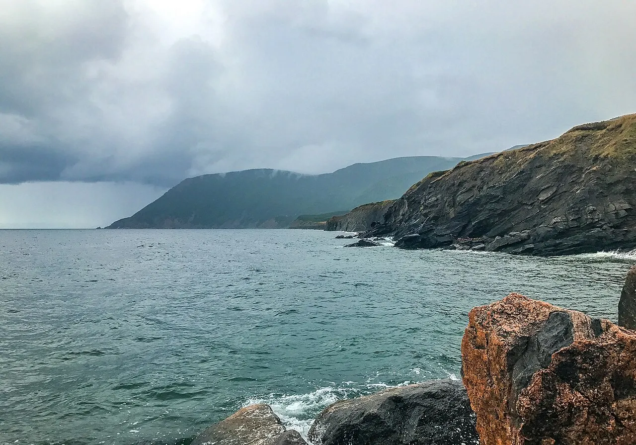
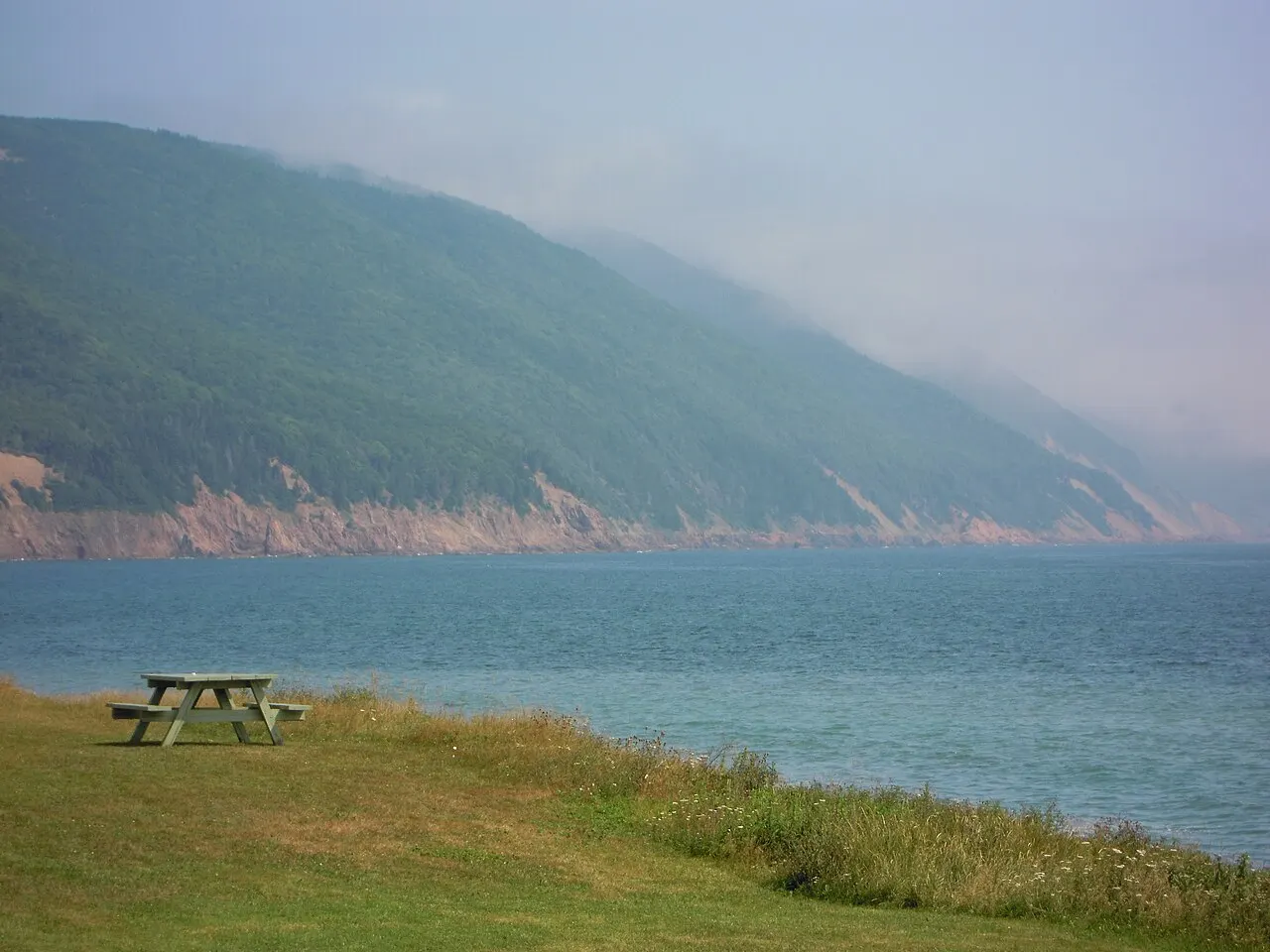
The Cabot Trail is a scenic highway that loops around the northern tip of Cape Breton Island in Nova Scotia. It climbs over coastal highlands, drops into fishing villages and passes through Cape Breton Highlands National Park, with the Gulf of St. Lawrence on one side and the Atlantic on the other. The route also crosses distinct cultural regions, from Gaelic-speaking Scottish communities to French Acadian villages.

Many drivers start in Baddeck on Bras d'Or Lake and travel the Margaree River valley, known for salmon fishing, before reaching Chéticamp, an Acadian town famed for hooked rugs. Beyond it the road climbs into the park, where the Skyline Trail leads to a boardwalk above the sea and moose often graze nearby. Pleasant Bay is a base for whale-watching trips. At the top of the island, side roads run to Cape North, Dingwall and remote Meat Cove. The eastern shore passes Ingonish and the steep grade over Cape Smokey, then the craft studios of St. Anns.

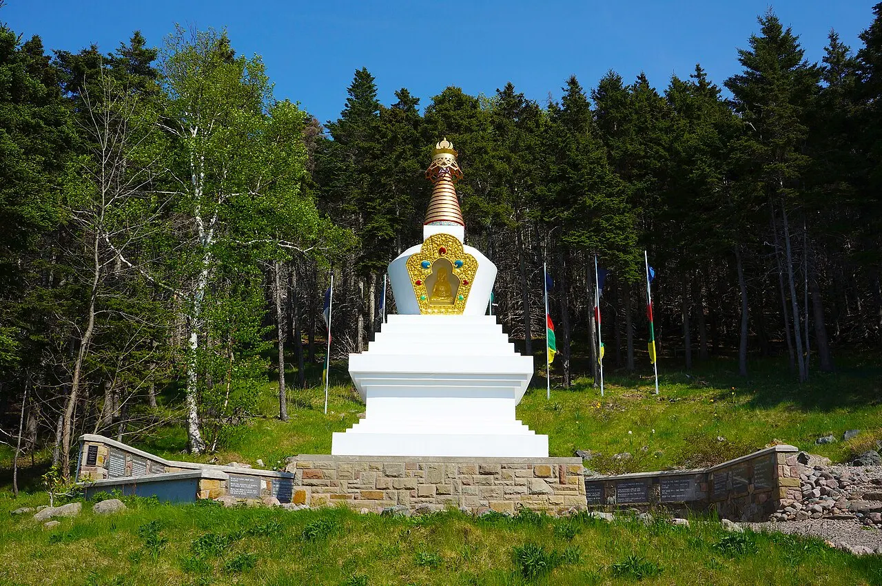
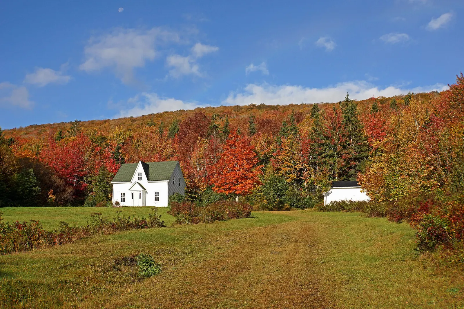
Driving the loop takes several days at a comfortable pace, with frequent stops for lookouts and hikes. Gampo Abbey, a Buddhist monastery near Red River, offers an unusual detour. The trail suits road-trippers, hikers and photographers. Fall foliage is spectacular, and many services close outside the main season.

Best seasonLate September and early October for fall color; July and August for warmest weather and whales.
Ideal stayThree to five days gives time for hikes, whale watching and unhurried driving.
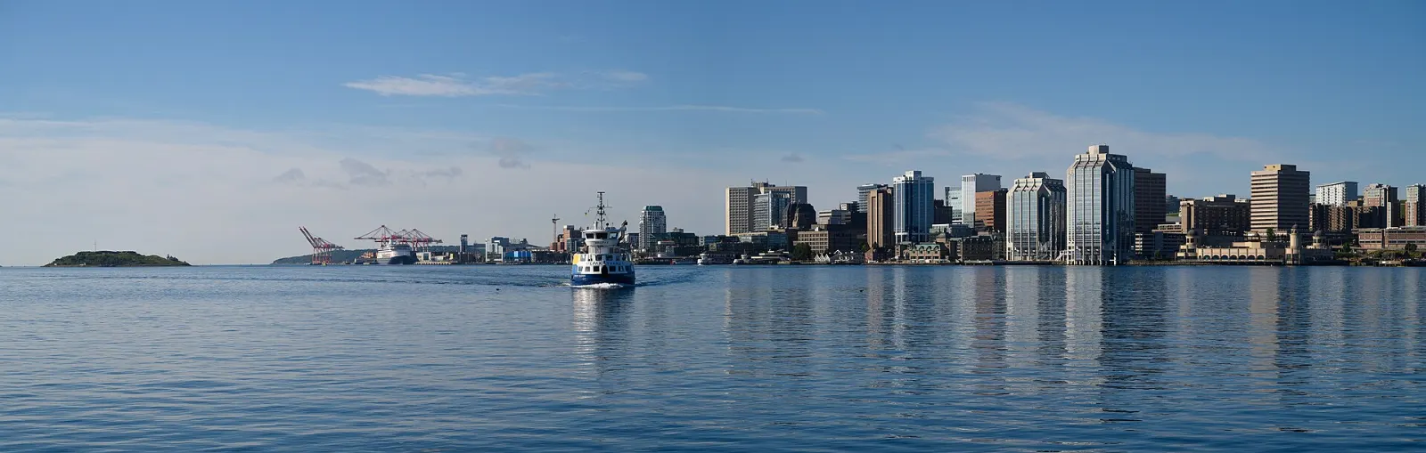
ArrivingMost travelers drive from Halifax across the Canso Causeway, or fly into Sydney and rent a car.
Cabot Trail Nova Scotia Skyline Trail and Whale WatchingWiserMap travel guideCabot Trail Nova Scotia Skyline Trail and Whale WatchingDrive the 298 km Cabot Trail loop on Cape Breton Island: Skyline Trail views, Acadian Chéticamp, Baddeck, Ingonish beaches and whale watching from Pleasant Bay.Read the guide

12 Ways to Experience Cabot Trail

Hikes 3

Skyline Trail, Cabot Trail, Nova Scotia, Canada

Skyline Trail

The Skyline Trail in Cape Breton Highlands National Park is a loop of about 7 to 9 kilometres to a headland boardwalk high above t...

Franey Trail

The Franey Trail near Ingonish is a steep climb of about 7 kilometres round trip to a lookout with wide views over the Clyburn Val...

Cape Smokey Provincial Park

Cape Smokey Provincial Park sits on a high headland south of Ingonish, often wrapped in the fog that gives it its name. A trail of...

Beaches 2

Ingonish Beach

Ingonish Beach is a long sandy beach on the Atlantic side of the Cabot Trail, separated by a barrier from a freshwater lake where...
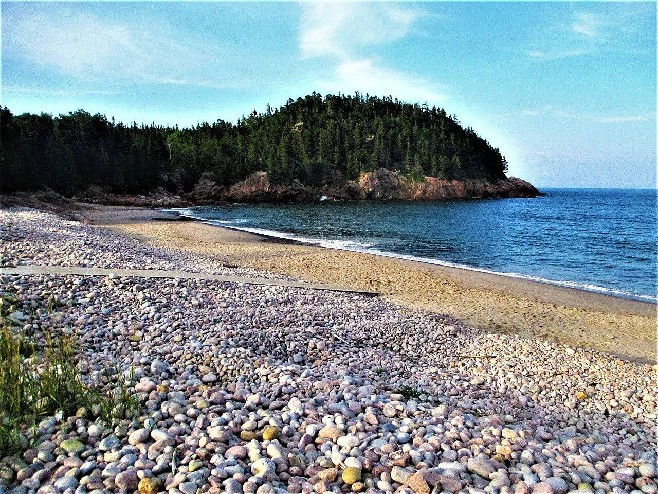
Black Brook Cove, Cabot Trail, Nova Scotia, Canada

Black Brook Cove

Black Brook Cove is a small, sheltered beach in Cape Breton Highlands National Park on the eastern part of the trail, with granite...

Viewpoints 1

Meat Cove, Cabot Trail, Nova Scotia, Canada

Meat Cove

Meat Cove is the most northerly settlement in Nova Scotia, at the end of a narrow road off the Cabot Trail beyond Cape North. It h...

Wildlife 1

Pleasant Bay Whale Watching

Pleasant Bay, on the western side of the Cabot Trail, is one of the best bases for whale watching in Cape Breton, with pilot whale...

Nature 1

Margaree River valley

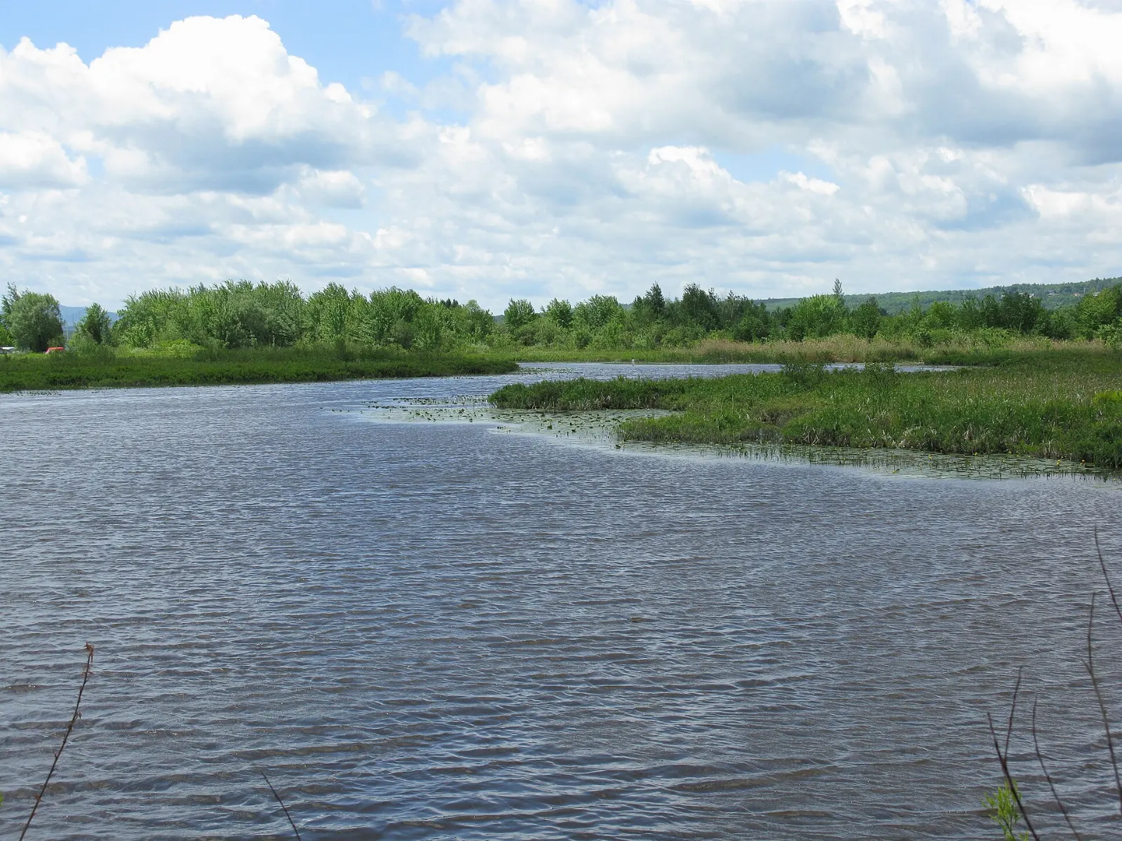
The Margaree River valley is a wide green valley on the western side of Cape Breton, famous for its salmon pools, covered bridges...

History 2

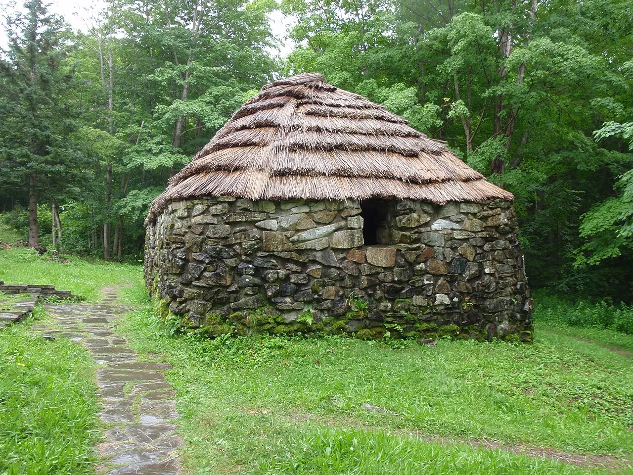
Lone Shieling, Cabot Trail, Nova Scotia, Canada

Lone Shieling

The Lone Shieling is a small stone hut built as a replica of a Scottish crofter's shelter, in honour of the Highland Scots who set...
Cabot Landing Provincial Park, Cabot Trail, Nova Scotia, Canada

Cabot Landing Provincial Park

Cabot Landing Provincial Park near Cape North has a monument marking where John Cabot is said to have landed in 1497, along with a...

Landmarks 1

Gampo Abbey, Cabot Trail, Nova Scotia, Canada

Gampo Abbey

Gampo Abbey is a Tibetan Buddhist monastery on a cliff above the Gulf of St. Lawrence at Red River, north of Pleasant Bay. Visitor...

Culture 1

Gaelic College (St. Anns)

The Gaelic College, Colaisde na Gaidhlig, at St. Anns teaches Gaelic language, music, dance and crafts, and is the only institutio...

Reviews

No reviews yet. Been to Cabot Trail? Be the first to share your experience.

Write a review

Share what you loved, what to skip and tips for other travelers.

Log in to write a review

Share your photos

Been to Cabot Trail? Add your best shots to the gallery.

Log in to add photos

More places in Nova Scotia

See all places in Canada →

Photo credits

Photo: Dennis G. Jarvis, Wikimedia Commons, CC BY-SA 2.0

Photo: Tony Webster from San Francisco, California, Wikimedia Commons, CC BY-SA 2.0

Photo: Skeezix1000, Wikimedia Commons, CC BY-SA 3.0

Photo: You may select the license of your choice., Wikimedia Commons, CC BY-SA 3.0

Photo: jockrutherford from Owen Sound, ON, Wikimedia Commons, CC BY-SA 2.0

Photo: Tango7174, Wikimedia Commons, CC BY-SA 4.0

Photo: LPeezy, Wikimedia Commons, CC BY-SA 4.0

Photo: Chris3435s, Wikimedia Commons, CC0

Photo: National Film Board, Photos by Chris Lund, Wikimedia Commons, Public domain

Photo: No machine-readable author provided. Clngre~commonswiki assumed (based on copyri, Wikimedia Commons, CC BY-SA 3.0

Photo: Elviroyage, Wikimedia Commons, CC BY-SA 4.0

Photo: WabbitWanderer from London, Canada, Wikimedia Commons, CC BY-SA 2.0

Photo: Paul from Hacketts Cove, Canada, Wikimedia Commons, CC BY 2.0

Photo: WabbitWanderer from London, Canada, Wikimedia Commons, CC BY-SA 2.0

Photo: Nicolas Raymond from Bethesda, Maryland, USA, Wikimedia Commons, CC BY 2.0

Photo: Jared Rover from Toronto, Canada, Wikimedia Commons, CC BY-SA 2.0

Photo: Bosintang, Wikimedia Commons, CC BY-SA 3.0

Photo: Dennis G. Jarvis, Wikimedia Commons, CC BY-SA 2.0

Photo: WabbitWanderer from London, Canada, Wikimedia Commons, CC BY-SA 2.0

Photo: Nicolas Raymond from Bethesda, Maryland, USA, Wikimedia Commons, CC BY 2.0

Photo: WabbitWanderer from London, Canada, Wikimedia Commons, CC BY-SA 2.0

Photo: Tony Webster from San Francisco, California, Wikimedia Commons, CC BY-SA 2.0

Photo: Tony Webster from San Francisco, California, Wikimedia Commons, CC BY-SA 2.0

Photo: Tony Webster from San Francisco, California, Wikimedia Commons, CC BY-SA 2.0

Photo: Mhsheikholeslami, Wikimedia Commons, CC BY-SA 4.0

Photo: ArcaneCraeda, Wikimedia Commons, CC BY-SA 4.0

Photo: Andrea Schaffer from Sydney, Australia, Wikimedia Commons, CC BY 2.0

Photo: Andrea Schaffer from Sydney, Australia, Wikimedia Commons, CC BY 2.0

Photo: Jared Rover from Toronto, Canada, Wikimedia Commons, CC BY-SA 2.0

Photo: Jared Rover from Toronto, Canada, Wikimedia Commons, CC BY-SA 2.0

Photo: Loneshieling, Wikimedia Commons, CC BY-SA 4.0

Photo: Tim Bryson, Wikimedia Commons, CC BY-SA 2.0

Photo: Skeezix1000, Wikimedia Commons, CC BY-SA 3.0

Photo: James Nicholson, Wikimedia Commons, CC BY-SA 4.0

Photo: James Nicholson, Wikimedia Commons, CC BY-SA 4.0

Photo: Skeezix1000, Wikimedia Commons, CC BY-SA 3.0

Photo: Paul from Hacketts Cove, Canada, Wikimedia Commons, CC BY 2.0

Photo: Nicole Bratt, Wikimedia Commons, CC BY-SA 2.0

Photo: Nicole Bratt, Wikimedia Commons, CC BY-SA 2.0

Photo: Nicole Bratt from Seattle, WA, USA, Wikimedia Commons, CC BY-SA 2.0

Photo: Nicole Bratt from Seattle, WA, USA, Wikimedia Commons, CC BY-SA 2.0
Photo: Nicole Bratt from Seattle, WA, USA, Wikimedia Commons, CC BY-SA 2.0