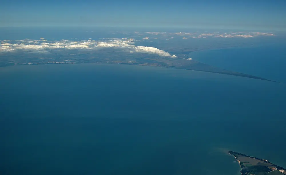
Point Pelee National Park is a narrow sand spit that reaches south into Lake Erie, ending at the southernmost point of mainland Canada. Most of it is cattail marsh, with woodland, savanna and long beaches in between, and it sits on two major bird migration flyways.
AT A GLANCE
Best time
May for peak bird migration, or summer for beaches and boardwalks.
How long
One full day in the park, or two to three days with Leamington and Pelee Island.
Getting there
The park is only reached by car, about 65 km from Windsor.
Why visit Point Pelee National Park
Point Pelee was established in 1918 at the urging of birdwatchers and hunters and became the first national park in Canada created for conservation. It has since been recognised as an Important Bird Area and a Wetland of International Significance.
Its southern location and the warming influence of Lake Erie also give the park a Carolinian character, with species such as the five-lined skink and fox snake that are rare elsewhere in Canada. The park was named a dark-sky preserve in 2006, so it is worth staying after dusk if you can.
The best places to visit in the park
Visitor Centre
Start at the Visitor Centre to pick up trail information, check which areas are open and browse the small gift shop. It is also where the free seasonal shuttle to the tip leaves. Ask staff what birds and butterflies have been seen that week.
The Tip
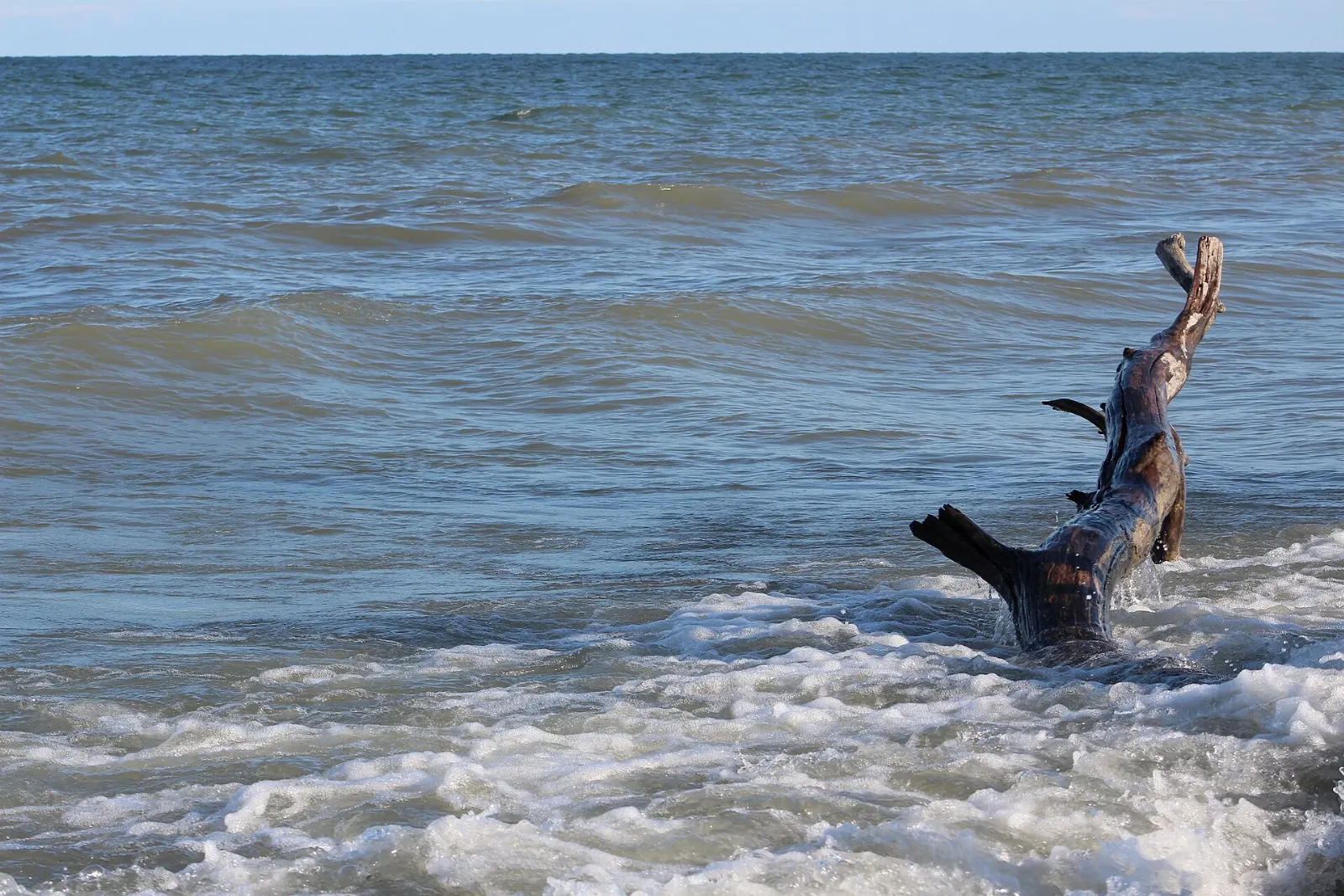
The sandy tip is the point most visitors come for, a triangle of beach where two shorelines meet and Lake Erie stretches in every direction. The shuttle runs about every twenty minutes in season, or you can walk or cycle.
Marsh and canoe circuit
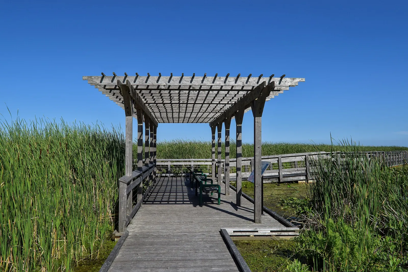
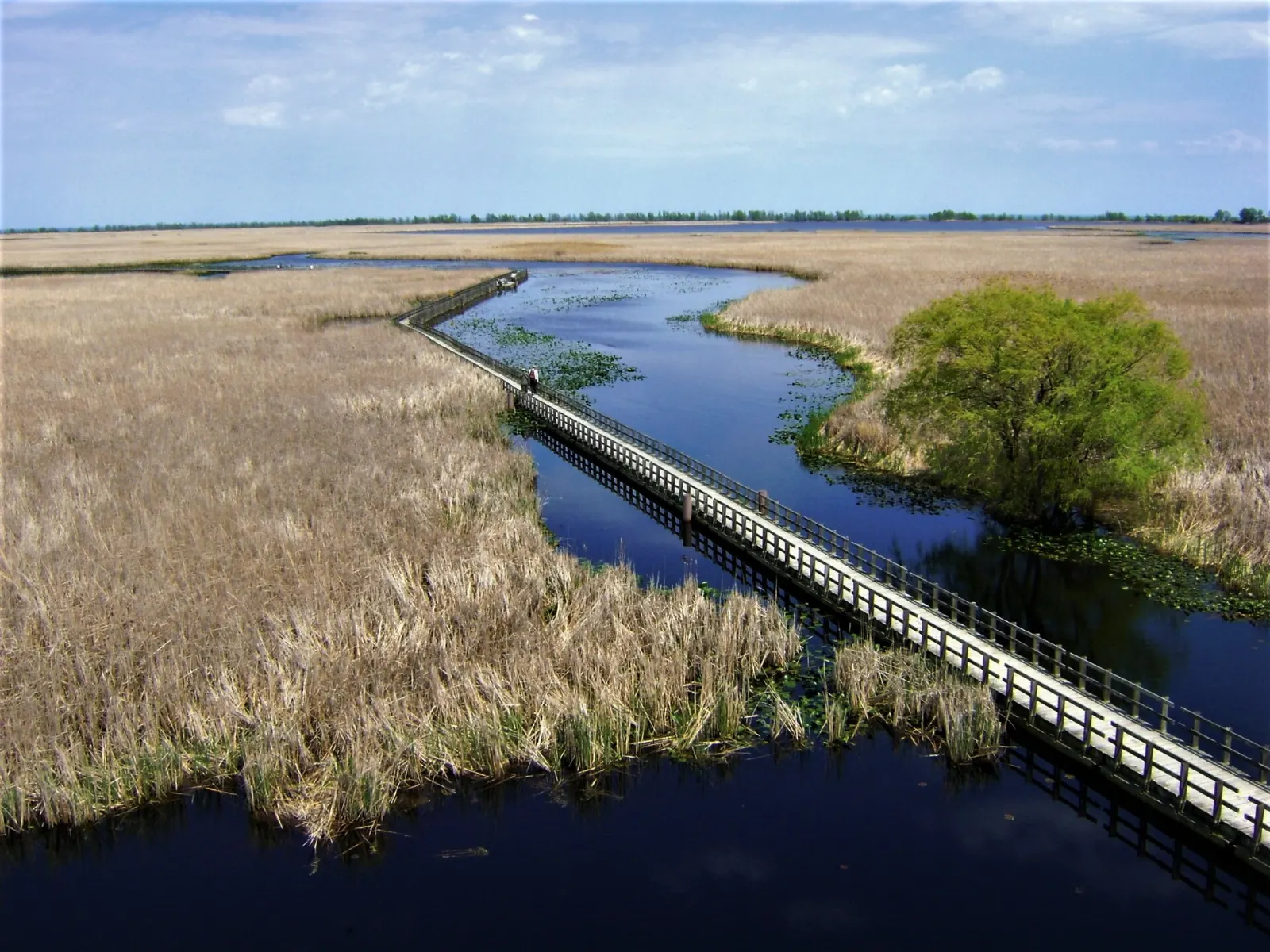
Around seventy percent of the park is marsh, dominated by cattails, and a designated canoe circuit lets you explore it from the water. Walking trails and boardwalks give an alternative on foot.
Park beaches
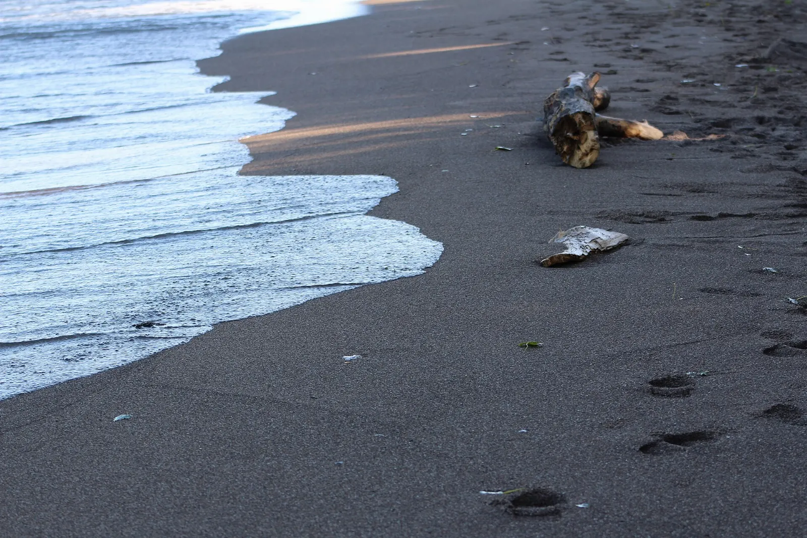
A long stretch of beach runs along the shoreline, and swimming is allowed on most of it except the tip. The sand is gentle underfoot and the water warms up in summer. Check posted water-quality notices and bring sun protection and shade.
Leamington and Pelee Island
Leamington
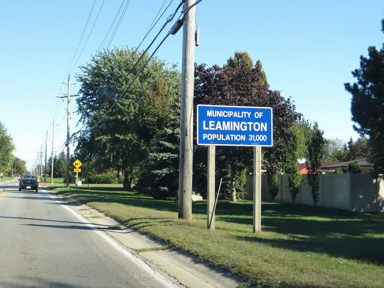
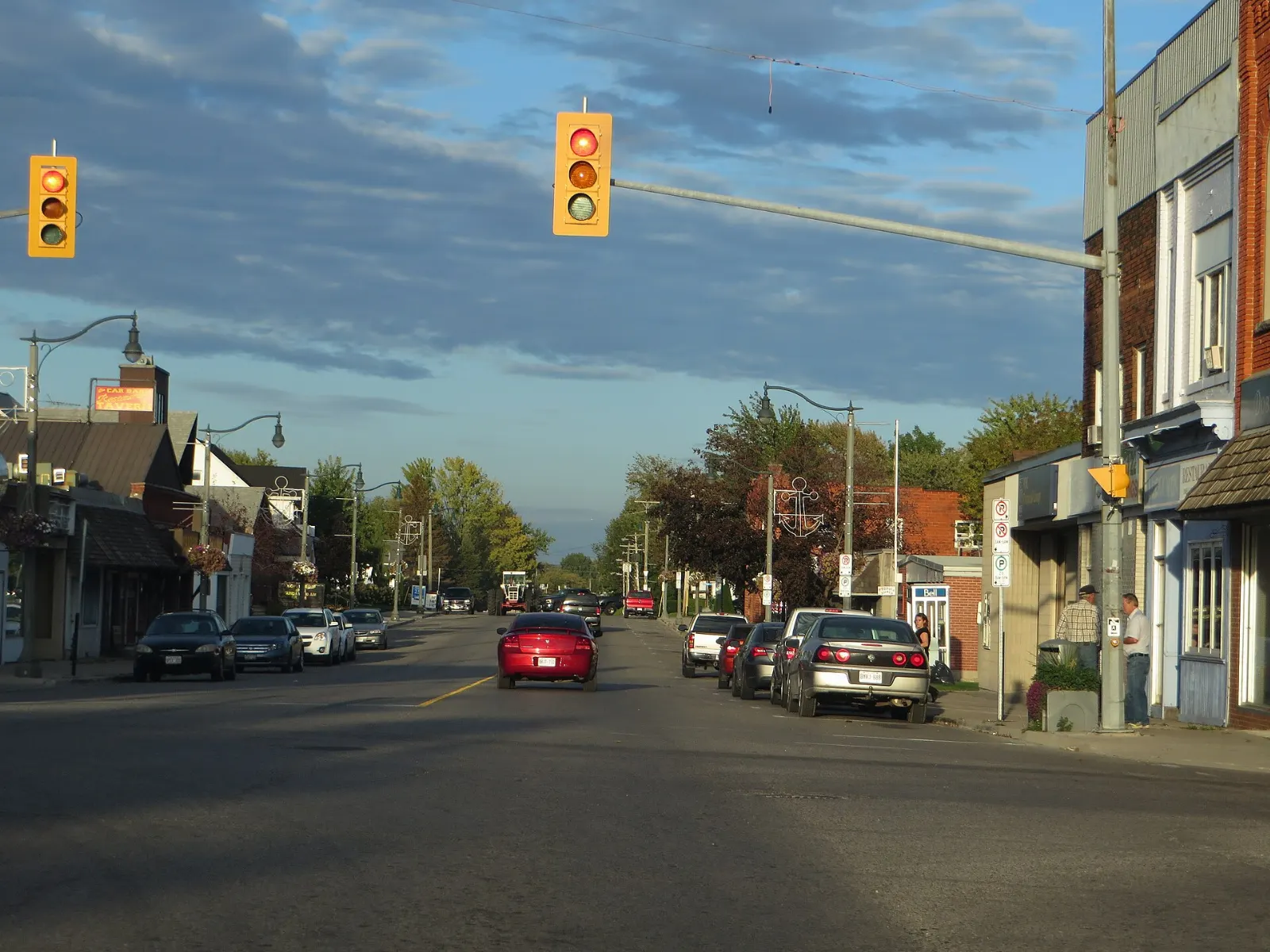
Leamington, the park's gateway town, is known as the Tomato Capital of Canada, with a tomato-shaped water tower and vast greenhouses growing vegetables.
Pelee Island ferry
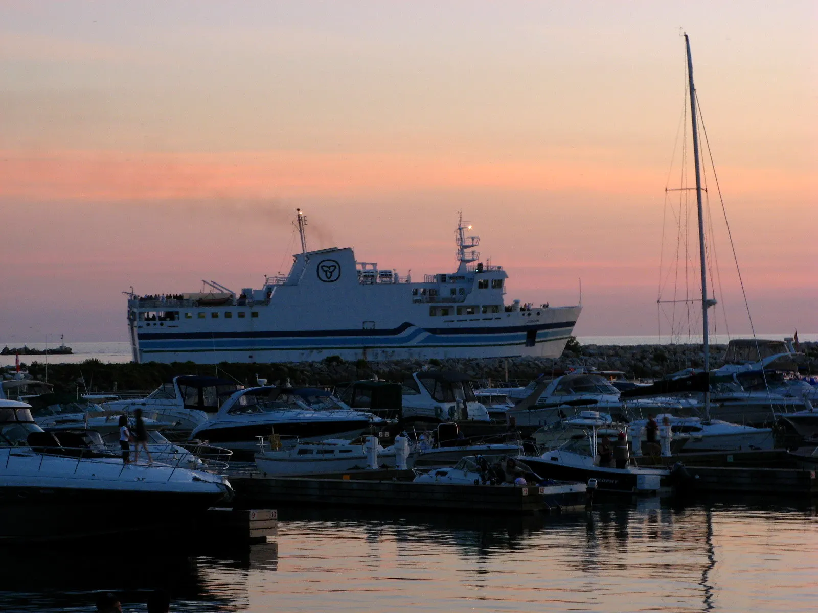
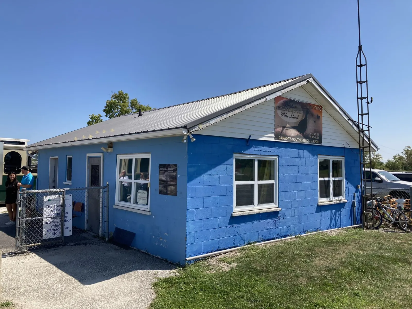
Pelee Island is Canada's southernmost populated point and lies about one and a half to two hours by ferry from the mainland. Reservations are strongly advised because boats can fill for weeks.
Lighthouse Point Nature Reserve
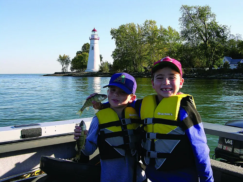
Lighthouse Point is the northernmost point of the island and a provincial nature reserve. The island's 1833 lighthouse once guided ships through the rocky Pelee Passage, and Lake Erie hides many shipwrecks.
Fish Point Nature Reserve
Fish Point sits at the southern end of the island and is one of its most botanically important areas, with sand dunes, wetlands and bird-rich shoreline.
Pelee Island Winery Pavilion
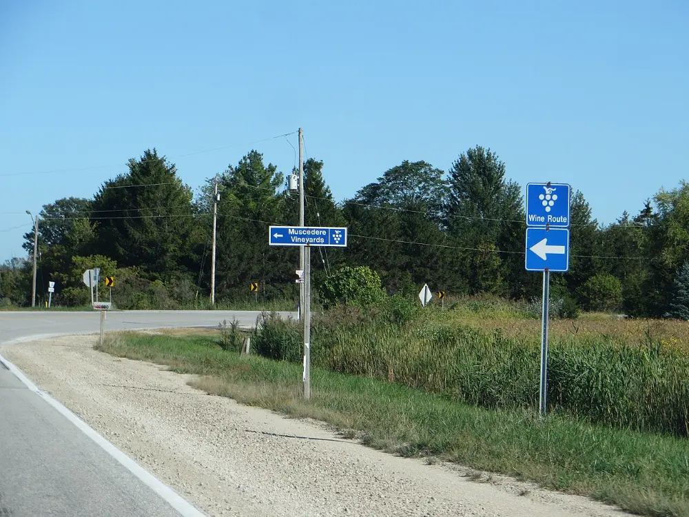
Winemaking here started in the 1860s, lapsed in the early twentieth century and was revived in the 1980s. The winery has a seasonal pavilion on the island with a shop, snacks and weekend music.

 Planning a trip to Point Pelee National Park?Compare hotels, flights and vacation rentals for Point Pelee National Park on Expedia.Book now
Food and local flavors
Southwestern Ontario eats well. Leamington grows some of the country's best-known tomatoes, so look for Leamington tomatoes at farm stands and in greenhouse markets in summer.
On Pelee Island, Pelee Island wine is the thing to try, because the island's long growing season suits vines.
Inside Point Pelee itself there are no notable restaurants, so pack a picnic or eat in Leamington before or after your visit.
Popular dishes to try in Point Pelee National Park
Where to stay
Leamington is the most practical base, with the widest range of lodging and restaurants, and it is the closest town to the park gate. It suits birdwatchers, families and anyone who wants evening dining without a drive.
Inside the park, Camp Henry offers oTENTik accommodation, which is a tent on a raised platform with beds, and the park notes that these are available year round and heated in winter.
Kingsville, the other mainland ferry port, is a smaller town to try if Leamington is full. On Pelee Island, bed and breakfasts offer rooms across the island, and they fill fast during busy weekends, so reserve as soon as ferry schedules open.
Where to stay in Point Pelee National Park

Best time to visit
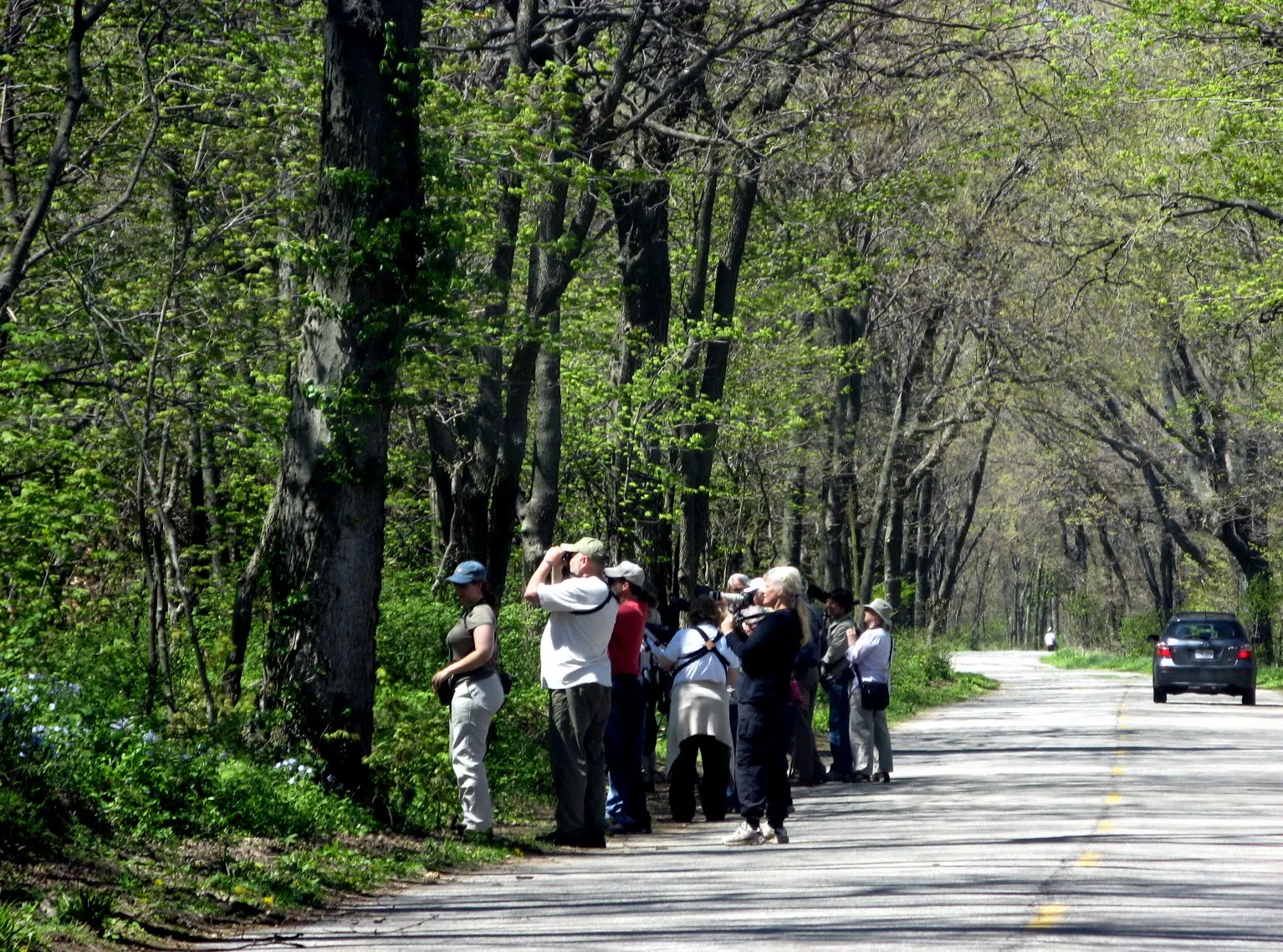
May is the peak for spring migration, when tired songbirds make their first landfall after crossing the lake, and the park draws birdwatchers from across North America. Expect crowds and book lodging early.
Summer brings warm, humid weather and the best beach days, though insects, ticks and poison ivy are possible, so stay on marked paths.
Winters are cold but milder than most of Ontario. The park is quiet, snow is intermittent and the stars are excellent.
Getting there and getting around
Point Pelee is reached only by car. There is no public transit to the park, and the nearest train and bus stations are in Windsor and Chatham.
From Highway 401, take exit 48 and head south on Highway 77, then follow County Road 33 and signs to Point Pelee Drive and the park entrance. From Windsor, take Highway 3 east to County Road 33.
Inside the park you can cycle or walk, and a free shuttle links the Visitor Centre with the tip during the season.
A suggested itinerary
First day
Arrive at the Visitor Centre early, take the shuttle to the tip, then walk or paddle through the marsh.
Second day
Catch the morning ferry to Pelee Island, rent a bike and ride to Lighthouse Point and Fish Point for birds and shoreline views.
Third day
Visit the winery pavilion and the Heritage Centre, then take an afternoon ferry back and stop at a Leamington farm stand for tomatoes.
Practical tips
- Check Parks Canada for current fees, shuttle dates and seasonal closures before you go.
- Book oTENTiks and Pelee Island ferries and lodging well ahead for May and summer weekends.
- Never swim at the tip, where currents are strong.
- Pack binoculars, a hat, repellent and water, and stay on marked trails because of ticks and poison ivy.
- Check beach water quality notices before swimming.