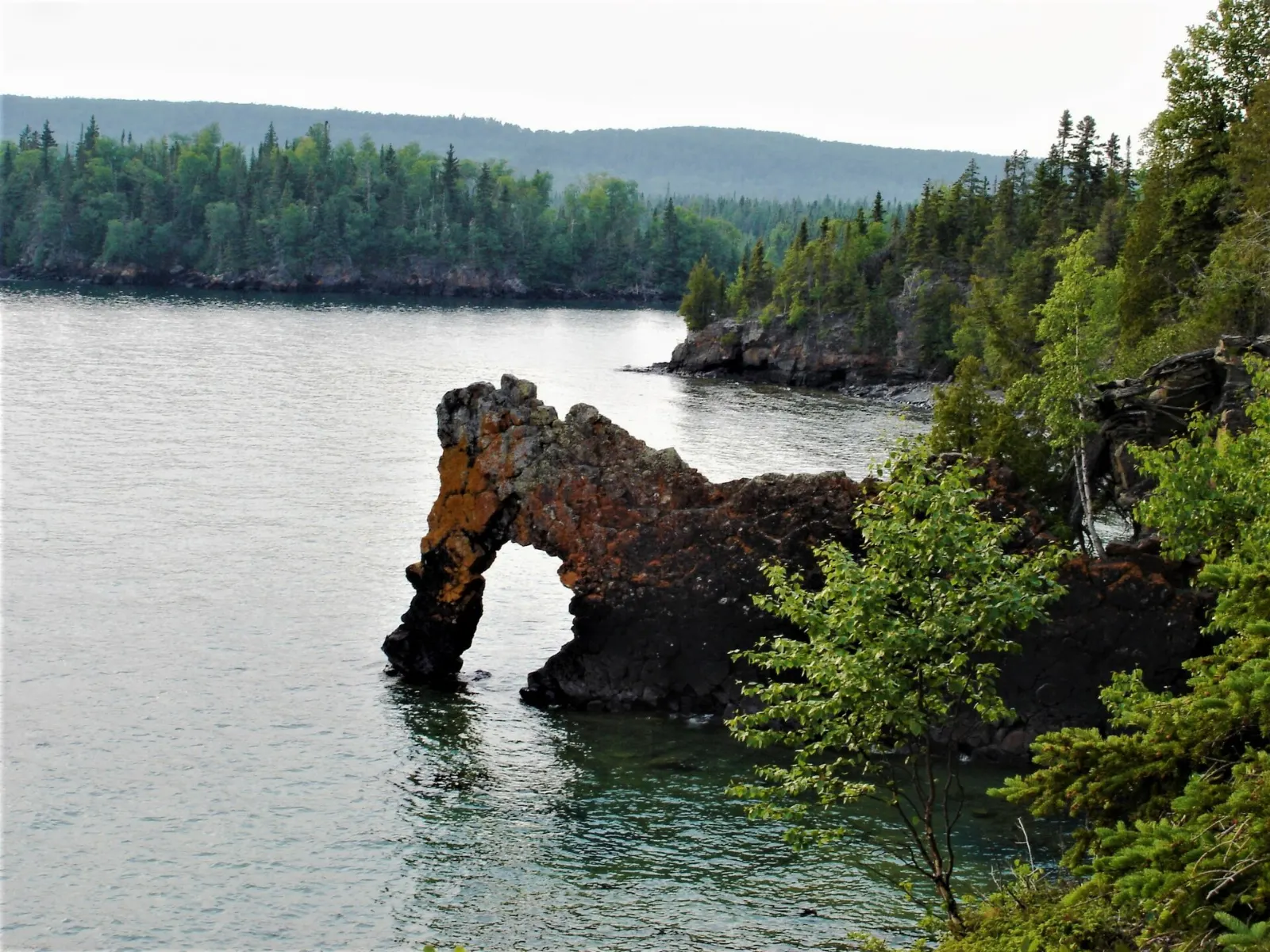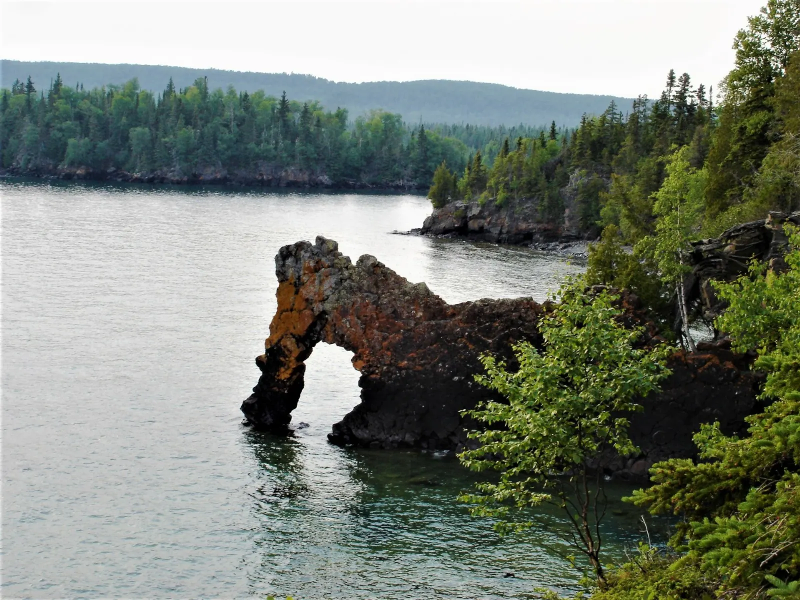
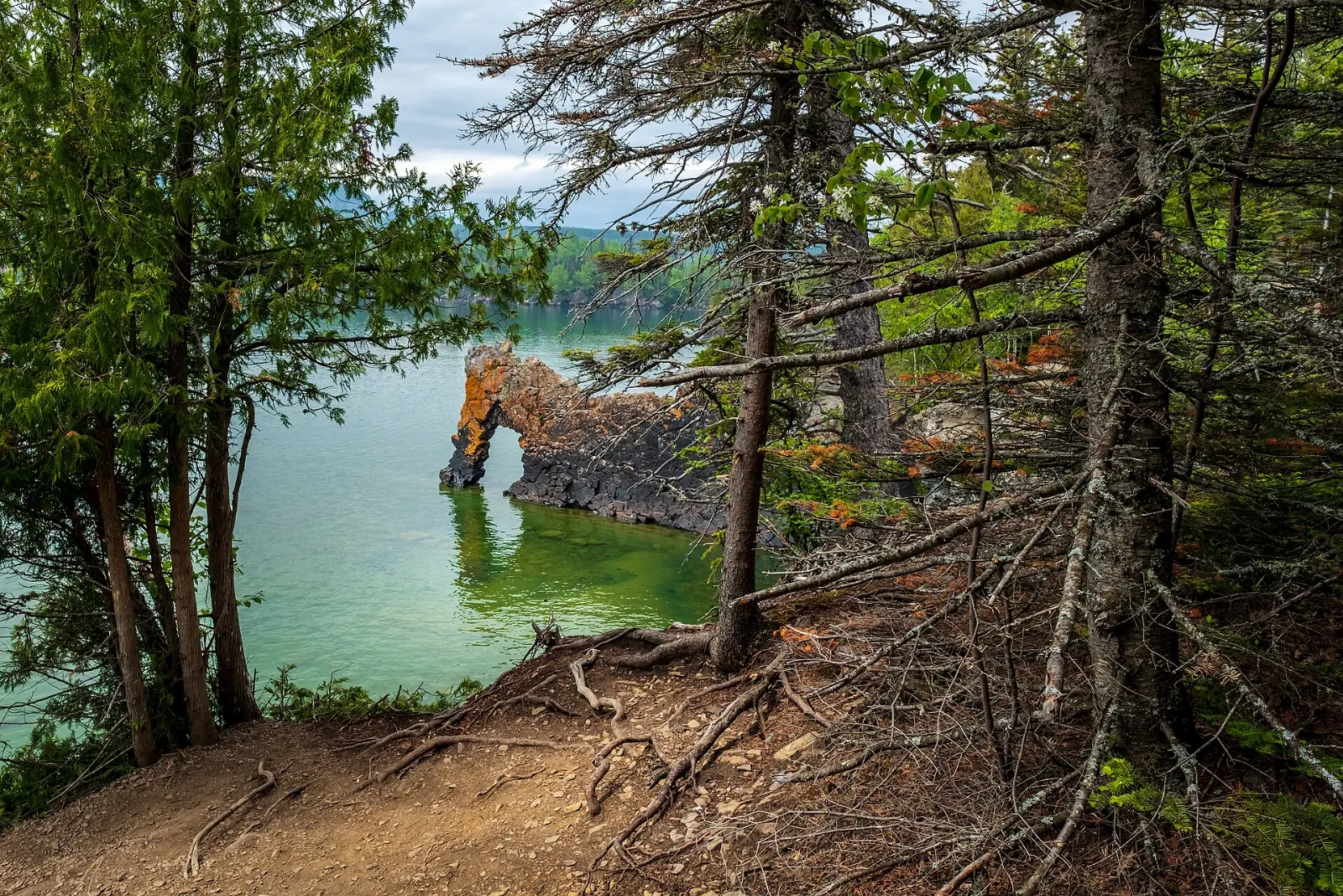
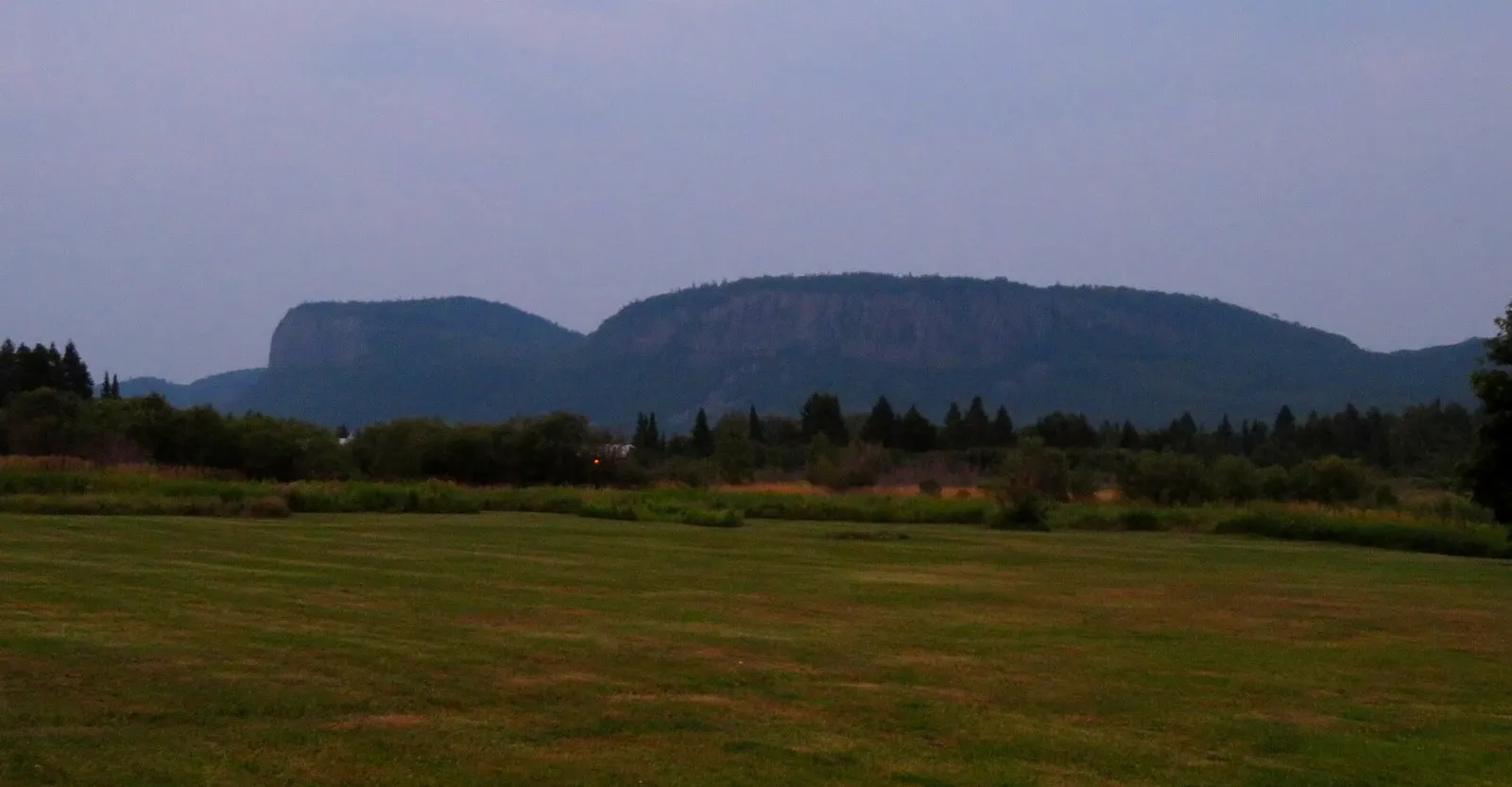
Sleeping Giant Provincial Park fills most of the Sibley Peninsula, a long finger of land that juts into Lake Superior east of Thunder Bay. Its famous namesake is a series of mesas that, seen from the right angle, form a giant lying on his back.
AT A GLANCE
Best time
Summer for hiking and paddling, March for the cross-country ski season.
How long
Two days for the park and Silver Islet, or three to four with Thunder Bay.
Getting there
Drive east from Thunder Bay on Highway 11/17, then south on Highway 587.
Why visit Sleeping Giant Provincial Park
The park covers about 244 square kilometres and was created in 1944 as Sibley Provincial Park, taking its present name in 1988. It combines steep cliffs, sheltered bays, mixed forest and cold, clear Lake Superior water. Almost 200 bird species have been recorded, and white-tailed deer and black bears are the most common large mammals.
The Sleeping Giant itself is rooted in Ojibwe tradition. One legend identifies the giant as Nanabozho, turned to stone when the secret of a rich silver mine was revealed to outsiders.
The best places to visit in the park
The Sleeping Giant formation
The giant is best seen from the west and north-northwest of Thunder Bay, where the mesas line up like a reclining figure. As you move south toward Sawyer Bay, the shape breaks into separate pieces and the cliffs show an Adam's apple.
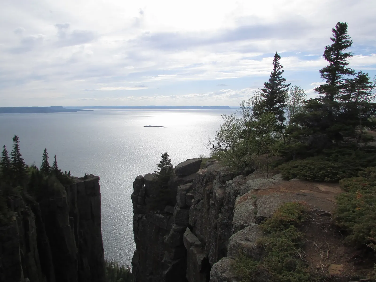
Top of the Giant
The trail to the Top of the Giant is a challenging hike of about 25 kilometres return, ending at a lookout above Tee Harbour, Lake Superior and a rugged cliff edge.
Kabeyun Trail
The Kabeyun Trail is the longest in the park at about 40 kilometres, running along the peninsula. Many visitors walk only a section as a day hike and use it to reach other trails and campsites.
Marie Louise Lake
Marie Louise Lake is the park's main camping area and home to the visitor centre, a beach and a picnic area. The park store rents canoes, kayaks, paddleboards and mountain bikes.
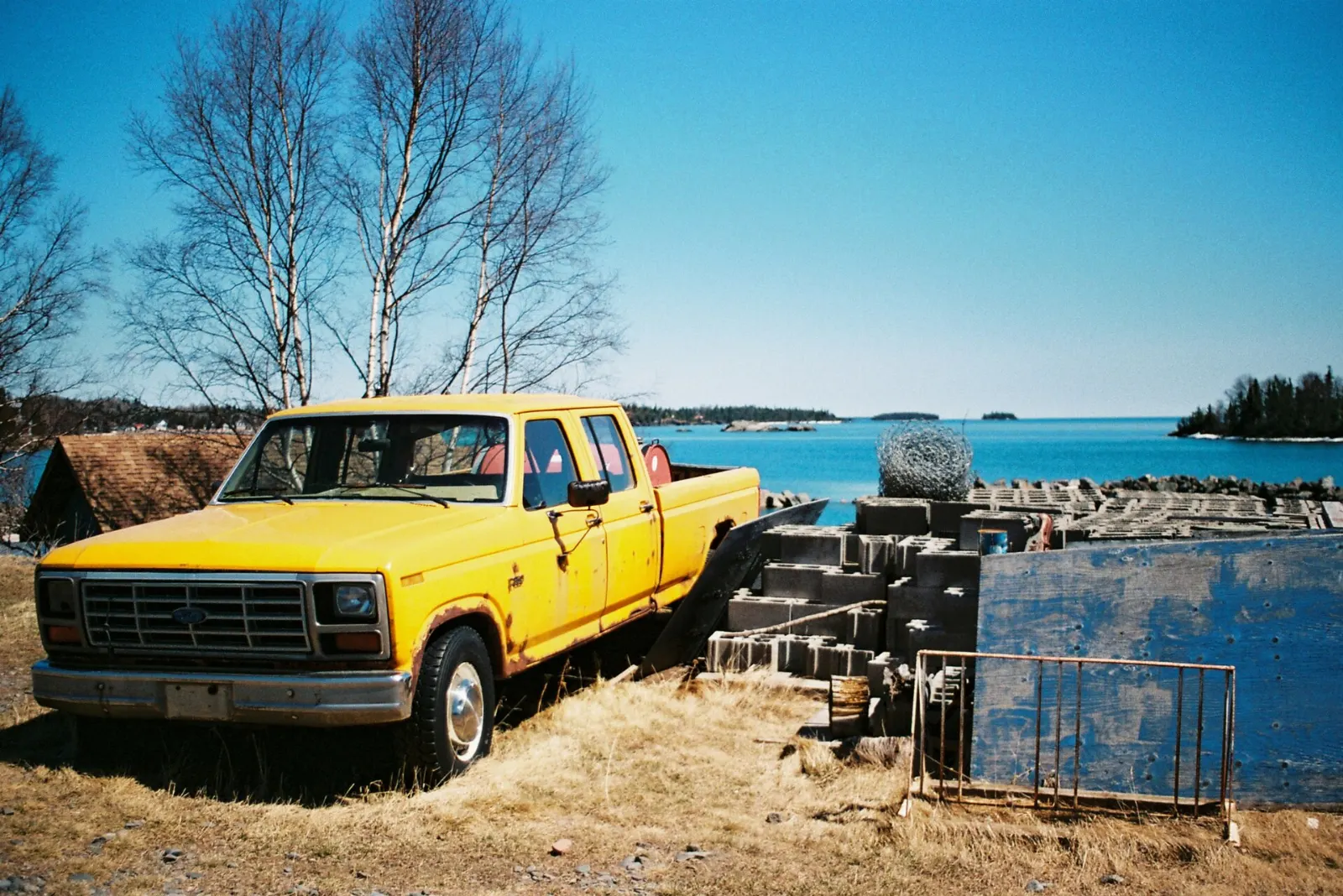
Thunder Cape Bird Observatory
At the southern tip of the peninsula, Thunder Cape is home to a bird observatory that studies migration. It is a good stop for birdwatchers during migration.
Silver Islet and the Sibley Peninsula
Silver Islet
Silver Islet is a small seasonal community at the end of Highway 587. In 1868 a rich vein of silver was found on a rocky islet just offshore, and from 1870 to 1884 the mine there was one of the richest silver mines in the world.
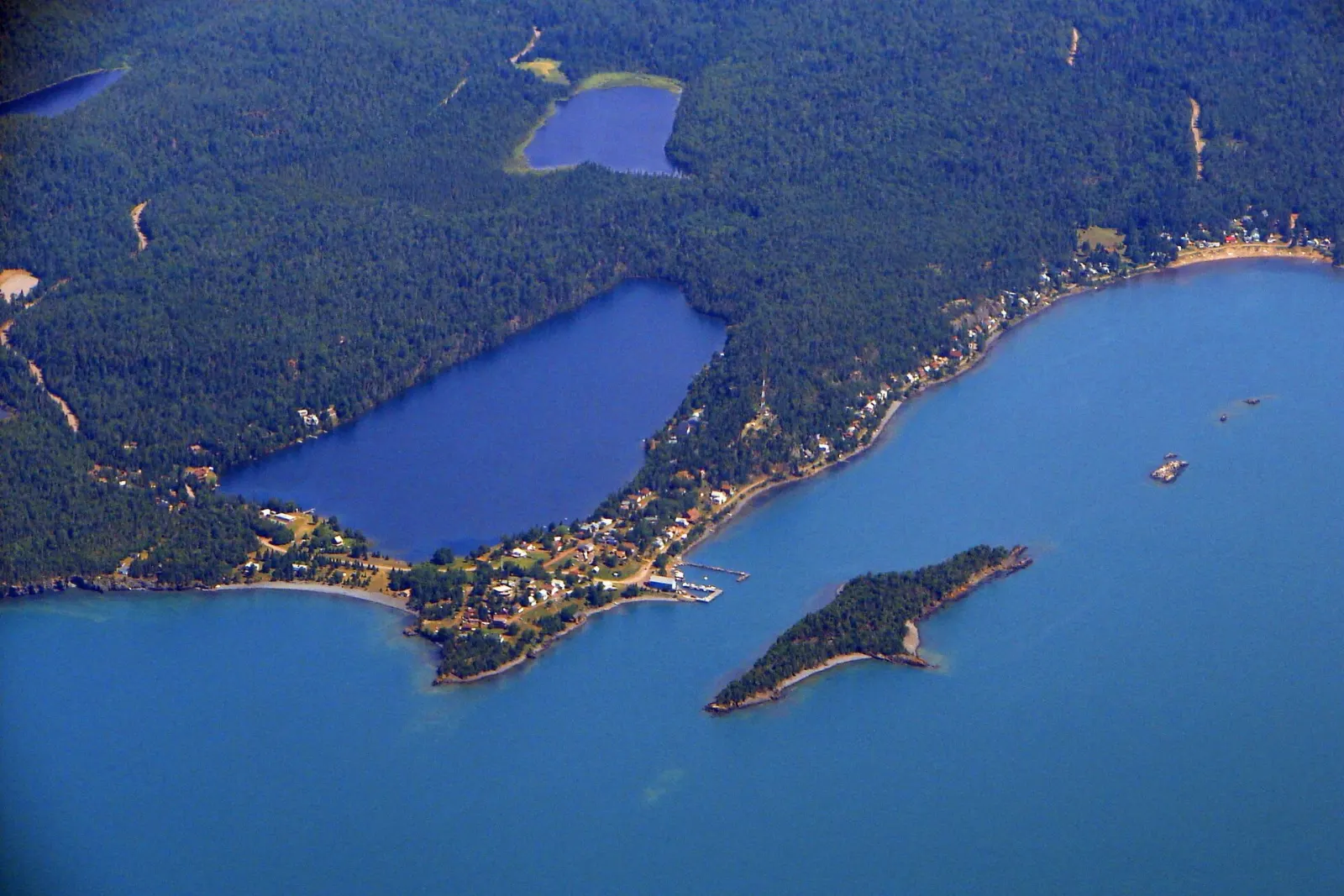
Walk the waterfront, look across to the islet and visit the restored general store, which has long served light meals in its tea room. The park's visitor centre has an exhibit on the mine and its history, so combine both stops.
Around Thunder Bay
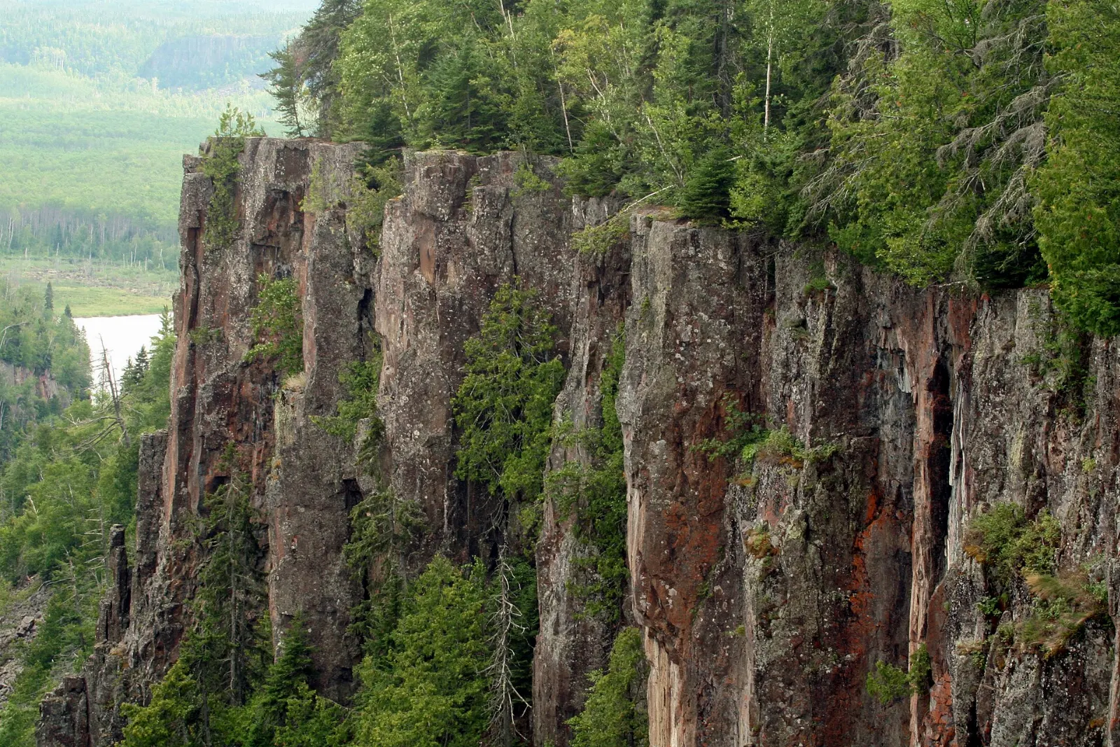
Ouimet Canyon
Ouimet Canyon is a gorge about 100 metres deep, 150 metres wide and 2 kilometres long, northeast of Thunder Bay. A boardwalk leads to viewing platforms, and rare arctic plants grow in the cool shade.
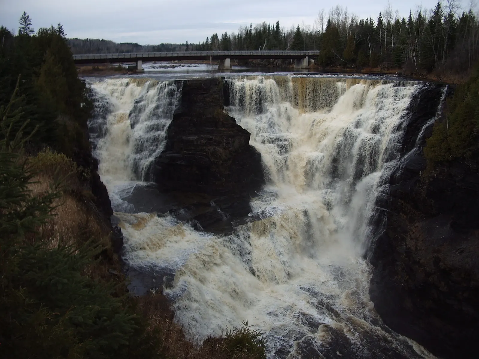
Kakabeka Falls
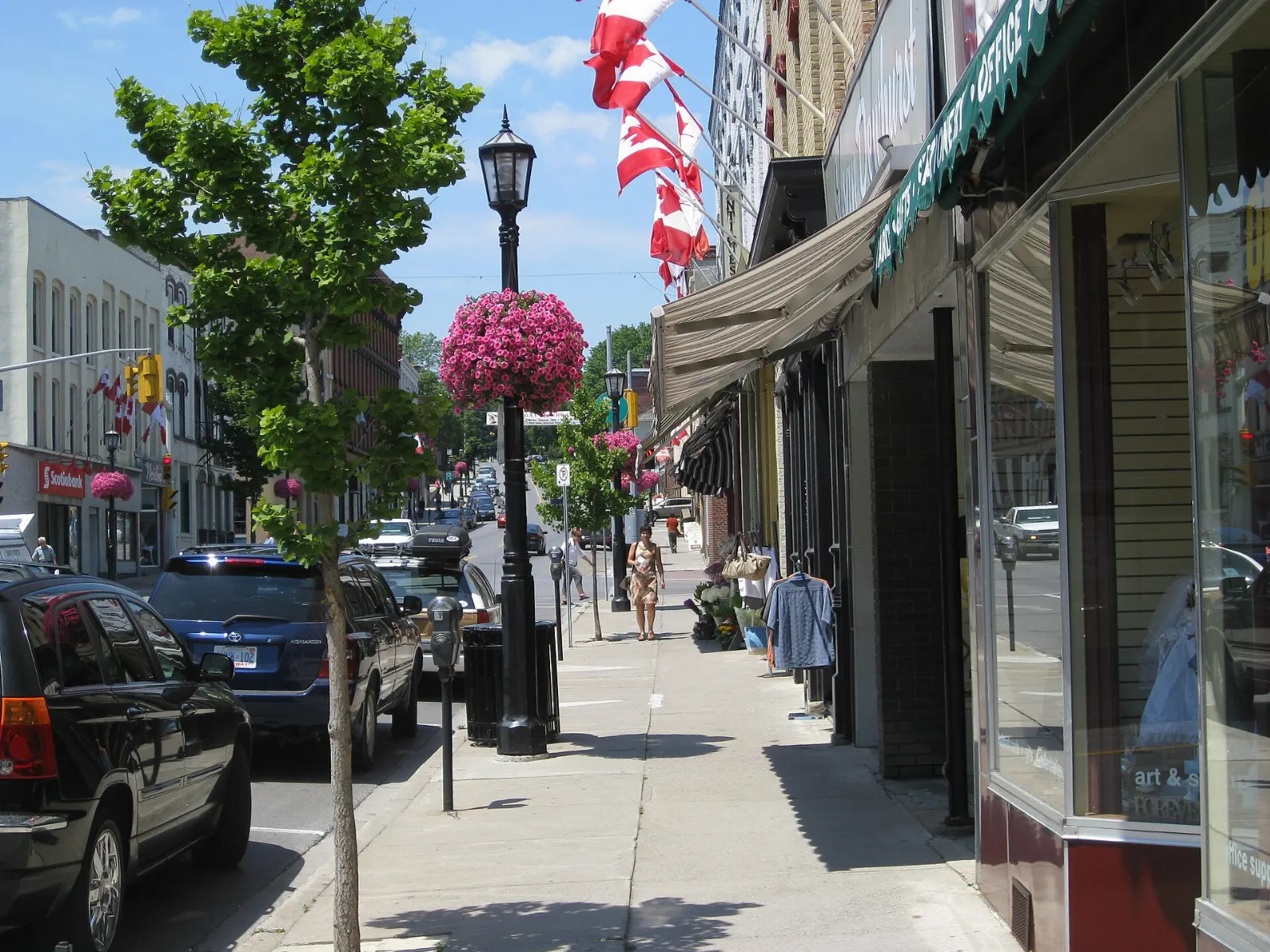
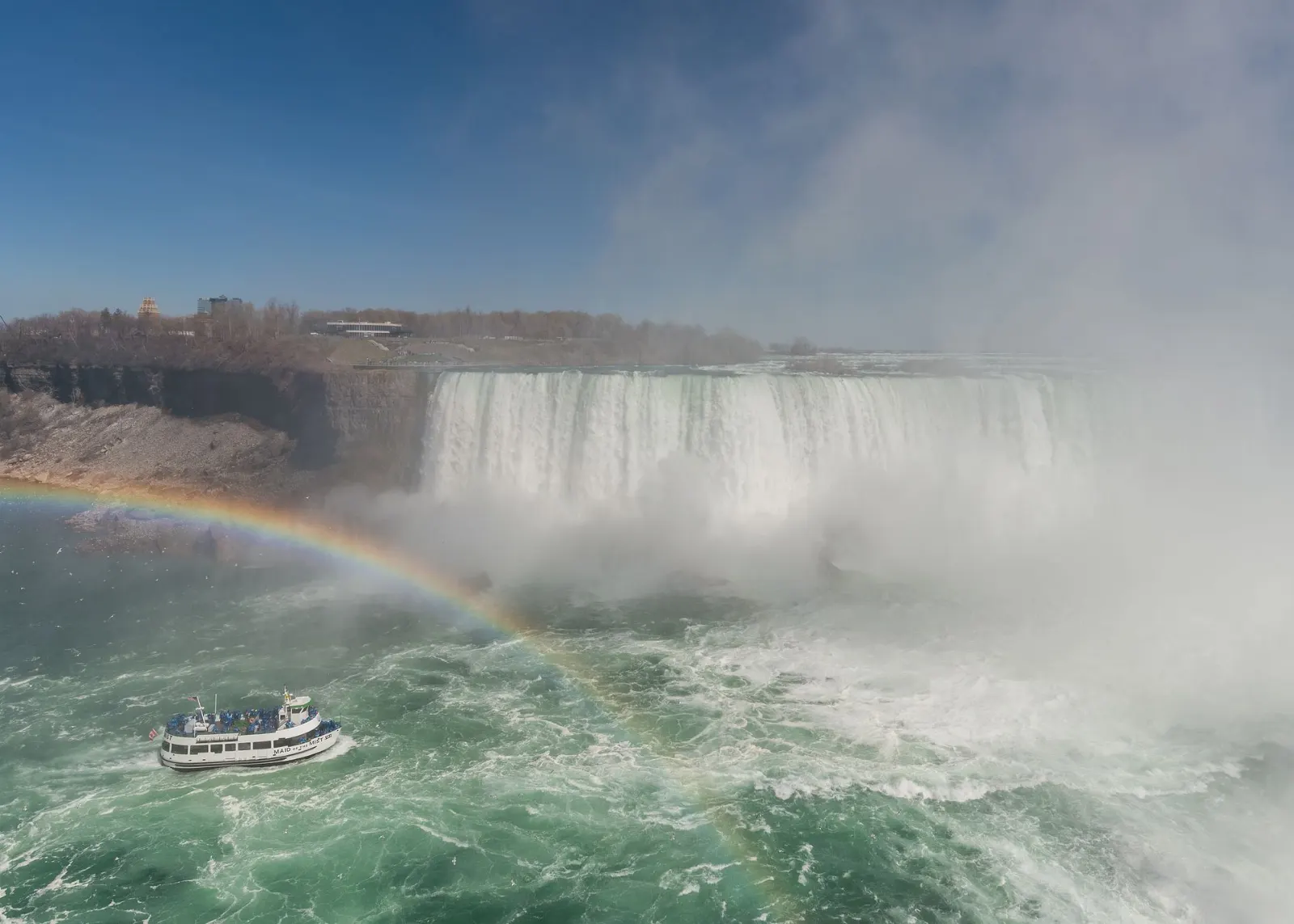
About 30 kilometres west of Thunder Bay, Kakabeka Falls plunges 40 metres into a gorge on the Kaministiquia River and is nicknamed the Niagara of the North. A short boardwalk gives views from both sides.
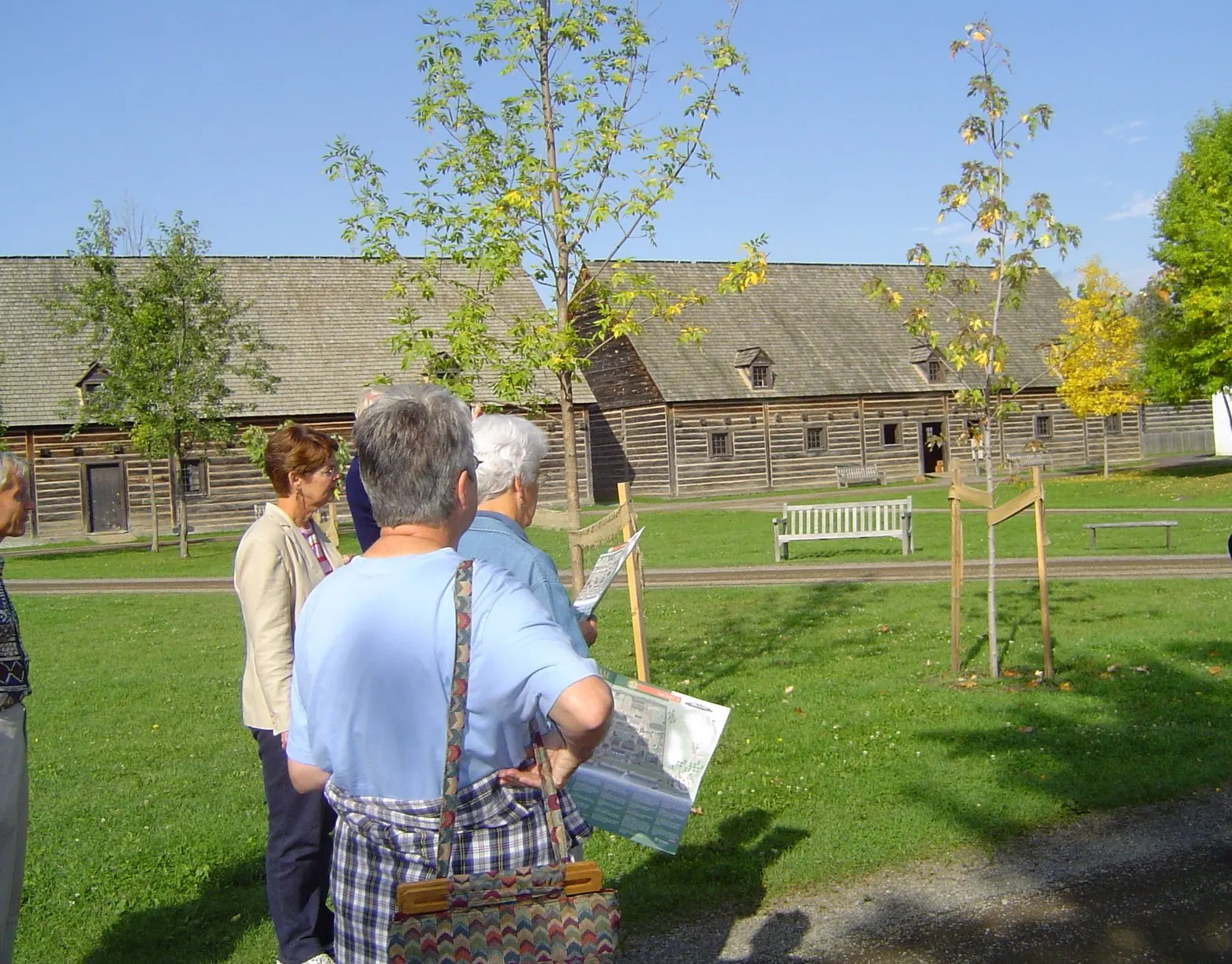
Fort William Historical Park
This living-history site recreates the North West Company's fur trade post as it was in the early 1800s, with more than 40 reconstructed buildings and costumed interpreters.
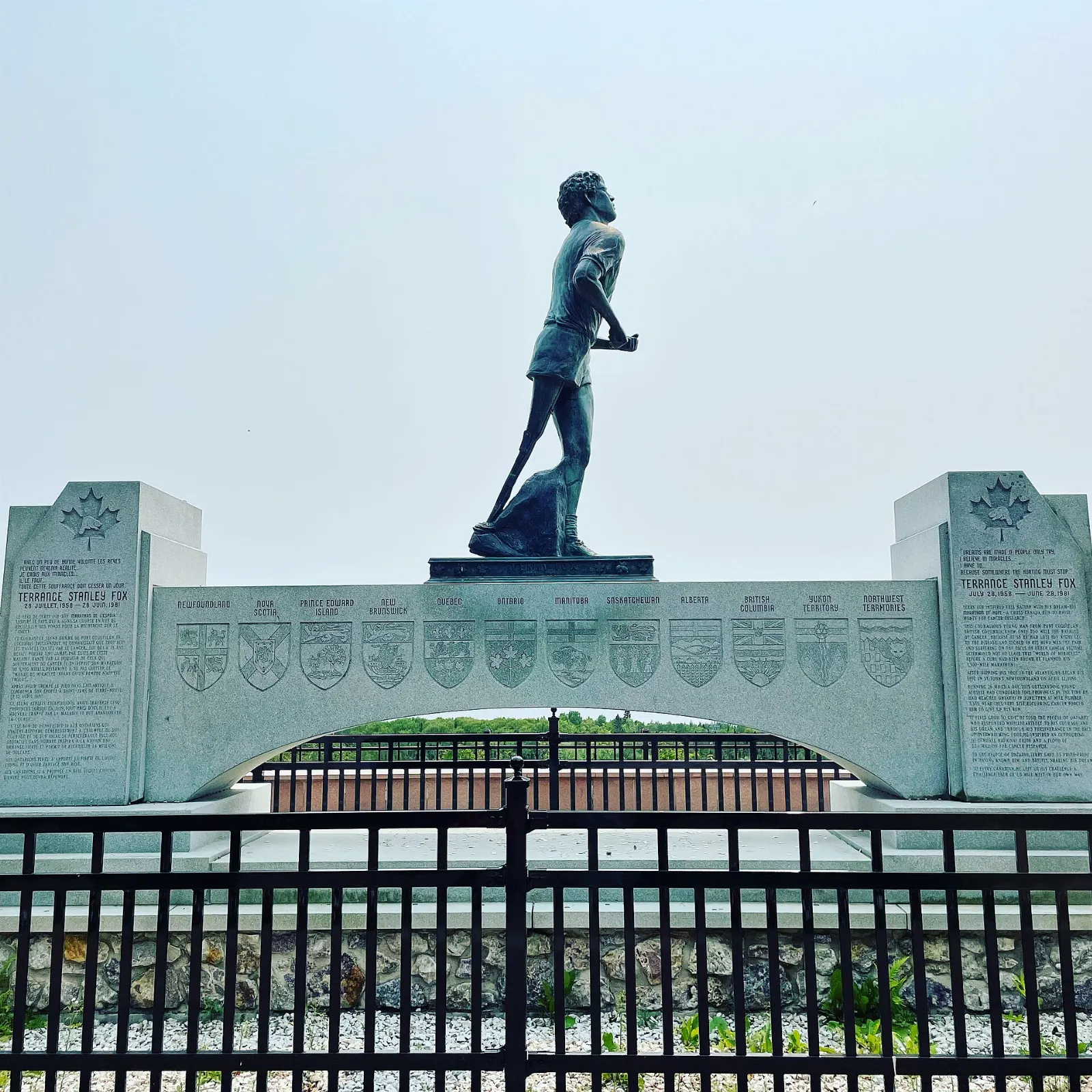
Terry Fox Scenic Lookout
The Terry Fox Memorial and Lookout stands near Thunder Bay and honours the runner who was forced to end his Marathon of Hope here.
 Planning a trip to Sleeping Giant Provincial Park?Compare hotels, flights and vacation rentals for Sleeping Giant Provincial Park on Expedia.Book now
Food and local flavors
Thunder Bay's signature treat is the Persian, a deep-fried spiral sweet roll topped with sweet pink icing, said to have originated at a bakery in Port Arthur.
Lake Superior and the region's inland waters supply lake whitefish, often pan-fried or smoked, and pickerel, the Canadian name for walleye. Thunder Bay also has the largest Finnish community outside Finland, so look for Finnish bakeries, cafes and saunas around the city.
Inside the park, supplies are limited, so shop in Thunder Bay before heading east. At Silver Islet, the general store tea room serves light meals in season.
Popular dishes to try in Sleeping Giant Provincial Park


Where to stay
Thunder Bay is the best base for variety, with the widest range of lodging, restaurants and attractions, and it is the nearest city to the park.
Marie Louise Lake offers the main campground, with over 200 sites, many of them electric, plus extra backcountry sites along the interior trails.
Silver Islet is a seasonal village at the tip of the peninsula, ideal for travellers who want a quiet setting and a lakeside walk, so check what is open and book early.
Where to stay in Sleeping Giant Provincial Park


Best time to visit
Summer is the most popular season. Lake Superior keeps temperatures mild, with July highs around 24 degrees Celsius, and Thunder Bay is sunnier than any Canadian city to its east.
Autumn offers cooler hiking weather, fewer crowds and colour in the forest. Winter is cold, with January highs around minus 8 degrees, but the park grooms about 50 kilometres of cross-country ski trails, and the Sleeping Giant Loppet is held in March.
Getting there and getting around
Thunder Bay International Airport has flights from Toronto, Winnipeg, Ottawa and Montreal, and sits about fifteen minutes west of downtown.
From the city, drive east on Highway 11/17 and turn south on Highway 587 at Pass Lake to reach the park and continue to Silver Islet.
Inside the park, you get around on foot, by bike or by canoe and kayak. Check park advice on trail conditions and road closures before you travel.
A suggested itinerary
First day
Look at the Sleeping Giant from Thunder Bay, then drive to the park.
Second day
Hike to the Top of the Giant lookout, or take a shorter trail if you prefer.
Third day
Return to Thunder Bay for Fort William Historical Park, a Persian and a stop at the Terry Fox Lookout, with Kakabeka Falls on the way if time allows.
Fourth day
Drive northeast to Ouimet Canyon for the boardwalk and lookouts before heading home.
Practical tips
- Check Ontario Parks for current fees, trail conditions and seasonal service dates before you go.
- Carry water, food, layers and a map on long hikes, because the weather over Lake Superior can change quickly.
- Start the Top of the Giant hike early so you have time for the return.
- Store food securely, since black bears live in the park.
- Book campsites well ahead for summer weekends.