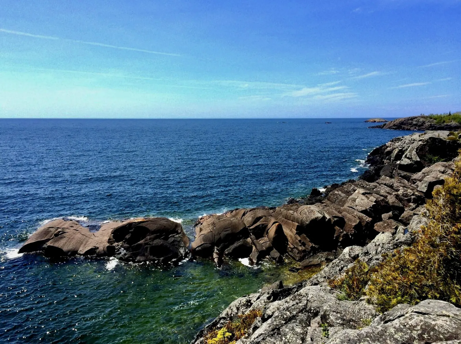
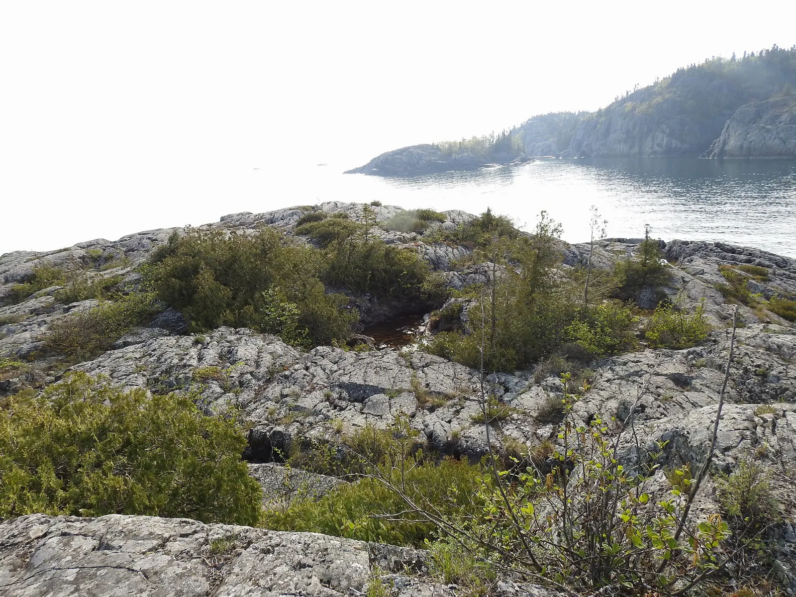
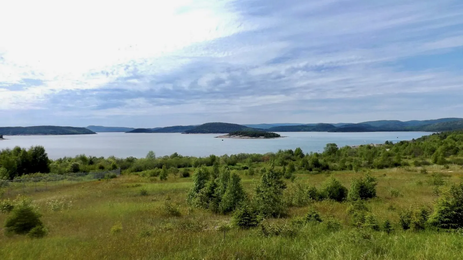
Pukaskwa National Park spans 1,878 square kilometres of boreal forest, cobble beaches and rocky headlands on the north shore of Lake Superior, and it protects part of the longest undeveloped shoreline anywhere on the Great Lakes. Only one road reaches it, ending at the sheltered Hattie Cove, so this is a park for slow trips on foot or by paddle.
AT A GLANCE
Best time
Mid-summer to early autumn, when the park is fully open and trails are at their best.
How long
A full day for short walks, or a week or more for the Coastal Hiking Trail.
Getting there
Drive Highway 17 to Highway 627, then 15 kilometres to Hattie Cove, the only road access.
Why visit Pukaskwa National Park
Pukaskwa is wild in a way few Ontario parks are. It lies in the heart of Canada's boreal forest and is home to black bears, moose, wolves, lynx and bald eagles, as well as rare plants that normally grow in Arctic and alpine regions.
The park also holds deep human history. Rock structures called Pukaskwa Pits, around a thousand years old, sit on many cobble beaches, left by the original inhabitants of the area.
At Hattie Cove
Hattie Cove and the day-use area
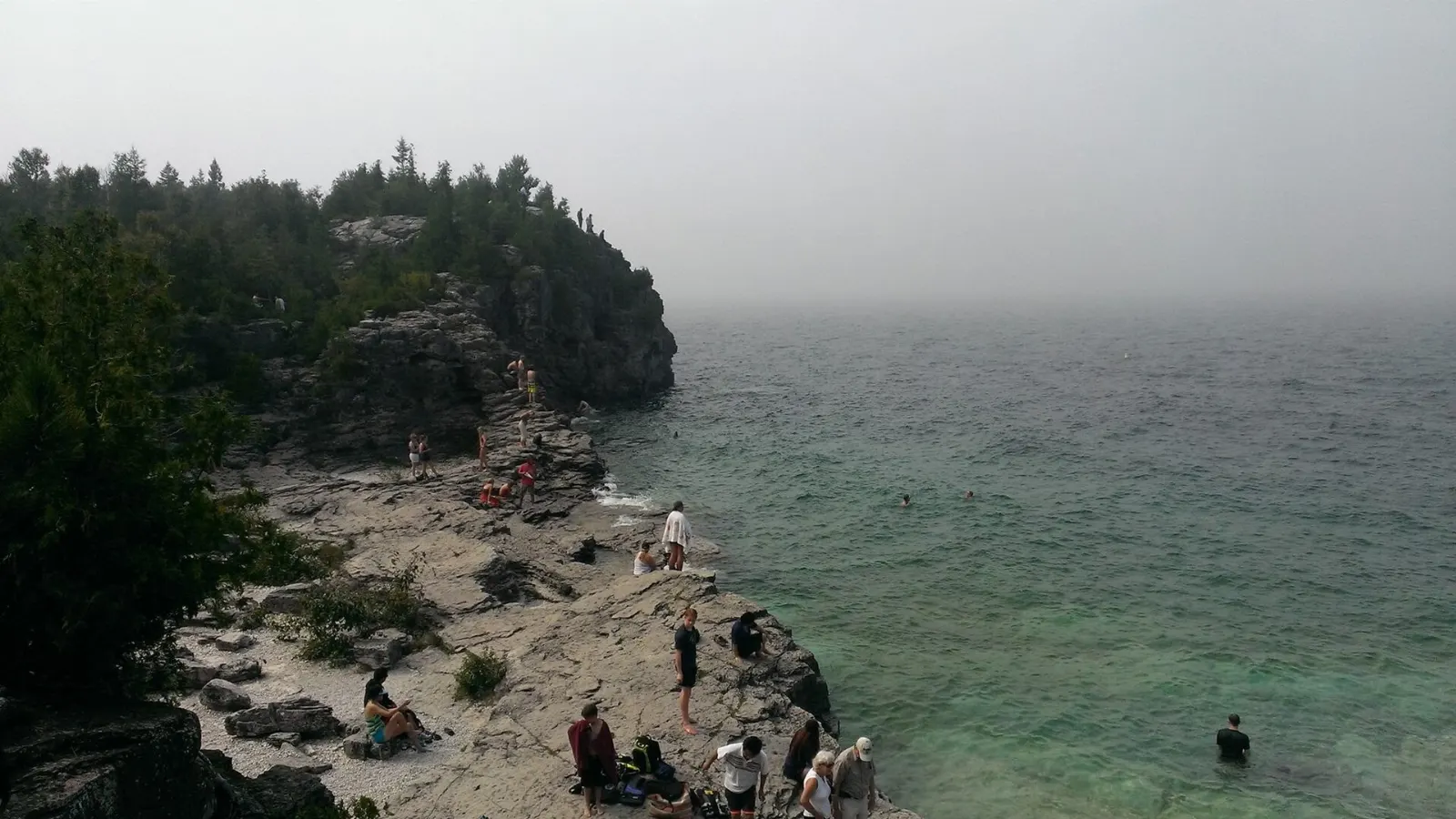
Hattie Cove, at the north end of the park, is the only place reachable by road, and it holds the main campground and day-use area. A short walk to the water gives a first look at the Lake Superior shoreline.
The Hattie Cove campground
The campground is a practical base, with washroom buildings and options from simple tent sites to glamping tents. Most visitors start trips from here.
The visitor centre
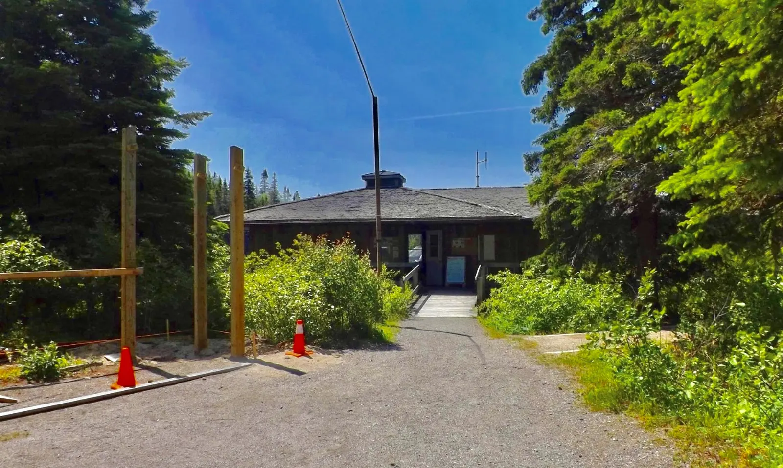
Inside the campground, the visitor centre offers information on trails, events and conditions. It also sells souvenirs, has washrooms and picnic space, and is located near several short hiking trails.
On the trails
The Coastal Hiking Trail
This 60-kilometre trail climbs steep Lake Superior coastline, crosses cobble and sand beaches and runs through rugged boreal forest. Backcountry campsites are spaced along the route, and the trail is part of the long-distance Voyageur Hiking Trail and the Trans-Canada Trail.
White River Suspension Bridge
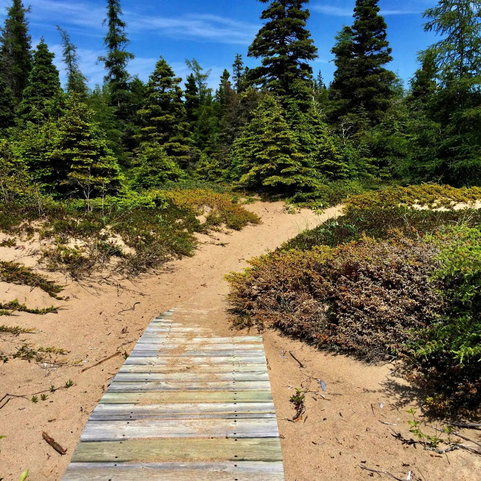
A challenging, scenic day hike of about 18 kilometres follows boardwalk across wetland and then rugged Canadian Shield terrain to the White River Suspension Bridge. The bridge spans roughly 23 metres above Chigamiwinigum Falls, and the view from it is the park highlight.
Willow River bridge
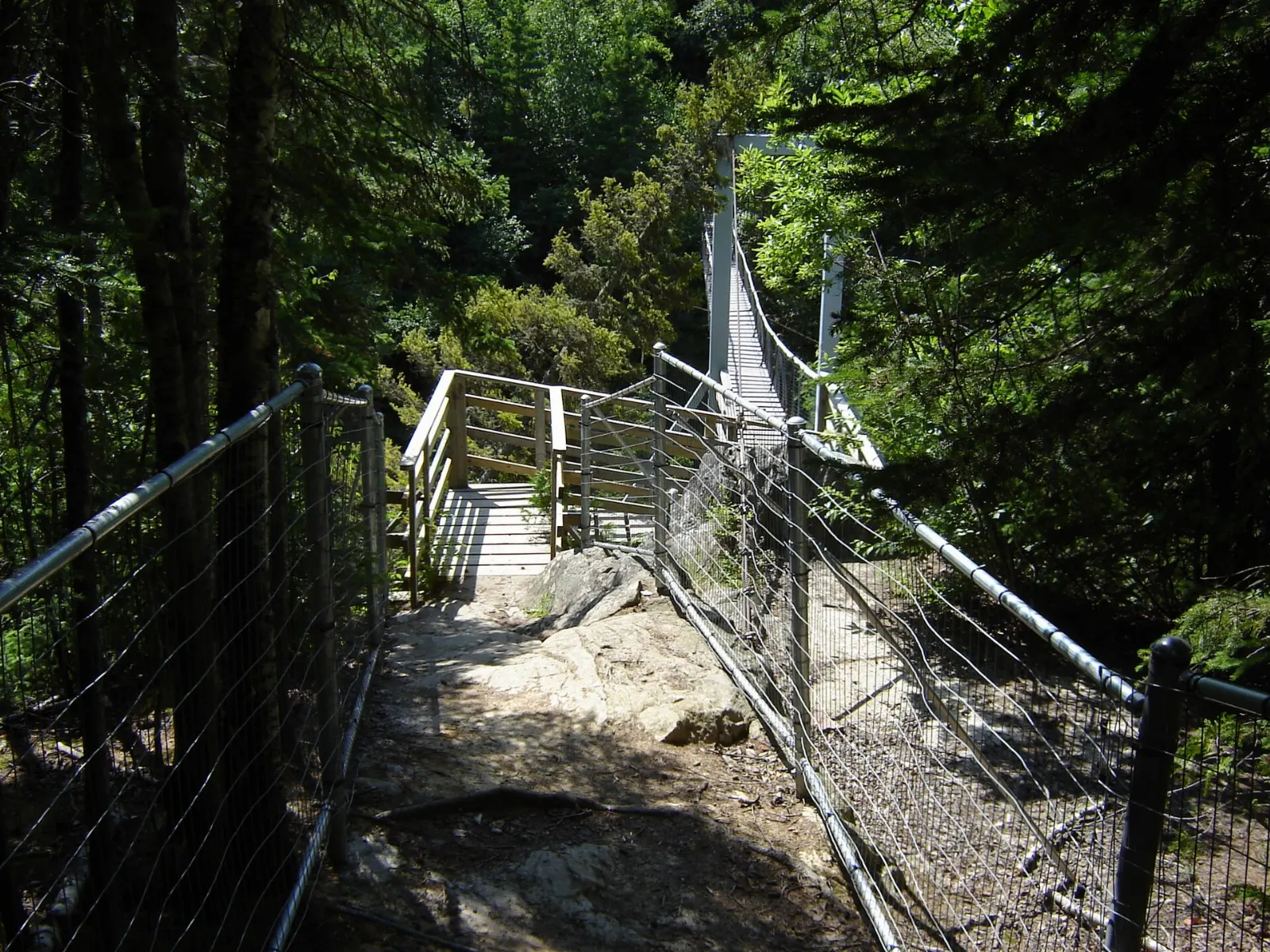
Further along the Coastal Hiking Trail, a second suspension bridge crosses the Willow River. It matters mostly to multi-day hikers, who use it to continue along the coast.
Mdaabii Miikna and Picture Rock Harbour
The name means go to shore trail in Ojibwe, and it opened in 2017 as a shorter backcountry alternative to the Coastal Hiking Trail.
Water, history and the nearest town
Pukaskwa Pits
Cobblestone beaches along the shore hold the Pukaskwa Pits, rock structures made by the area's original inhabitants, around a thousand years old. They are fragile and culturally significant, so look but do not move stones or build new ones.
The Coastal Paddling Route
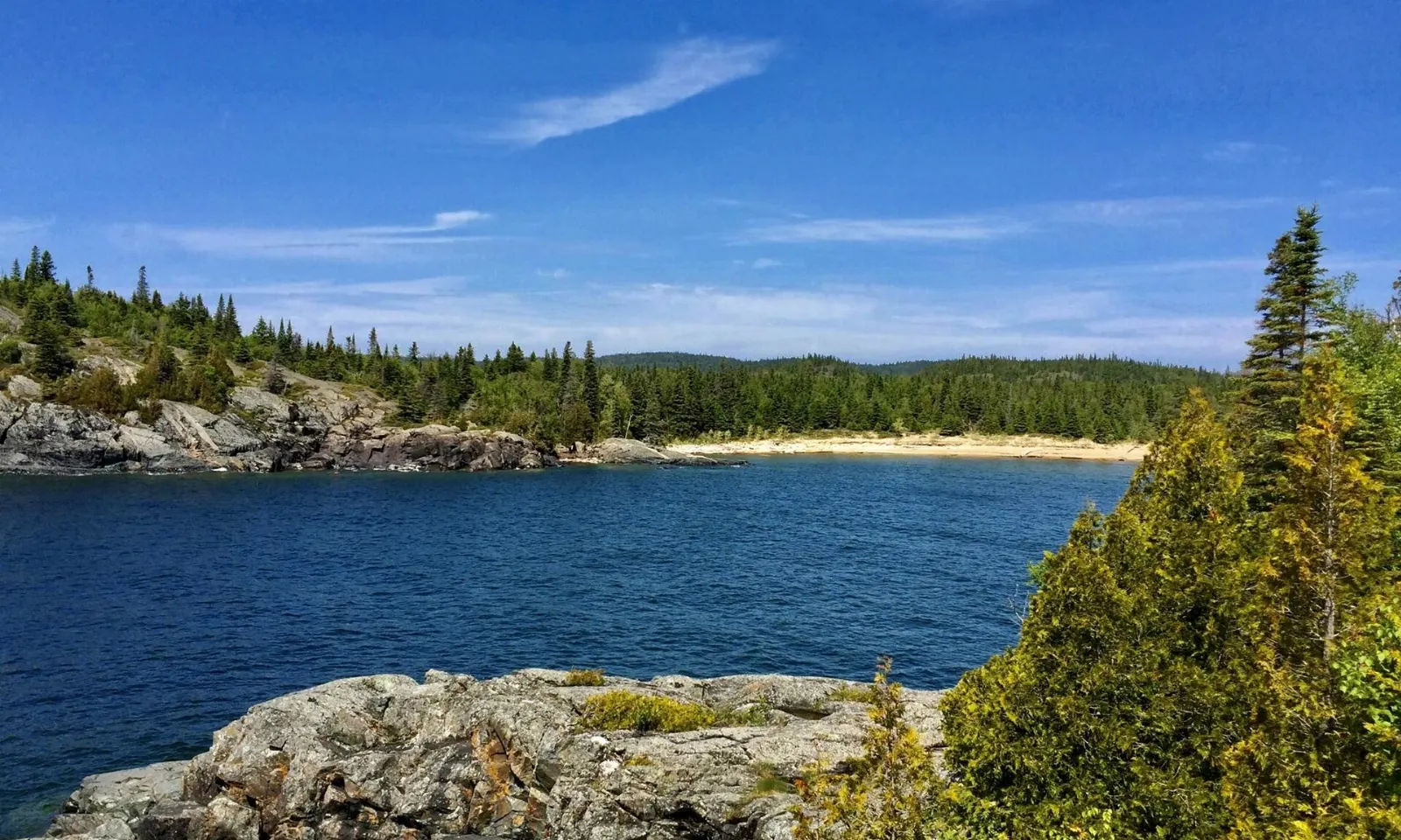
Experienced paddlers can explore the shoreline by kayak or canoe, with backcountry campsites along the paddling route, the White River and the Pukaskwa River.
Marathon
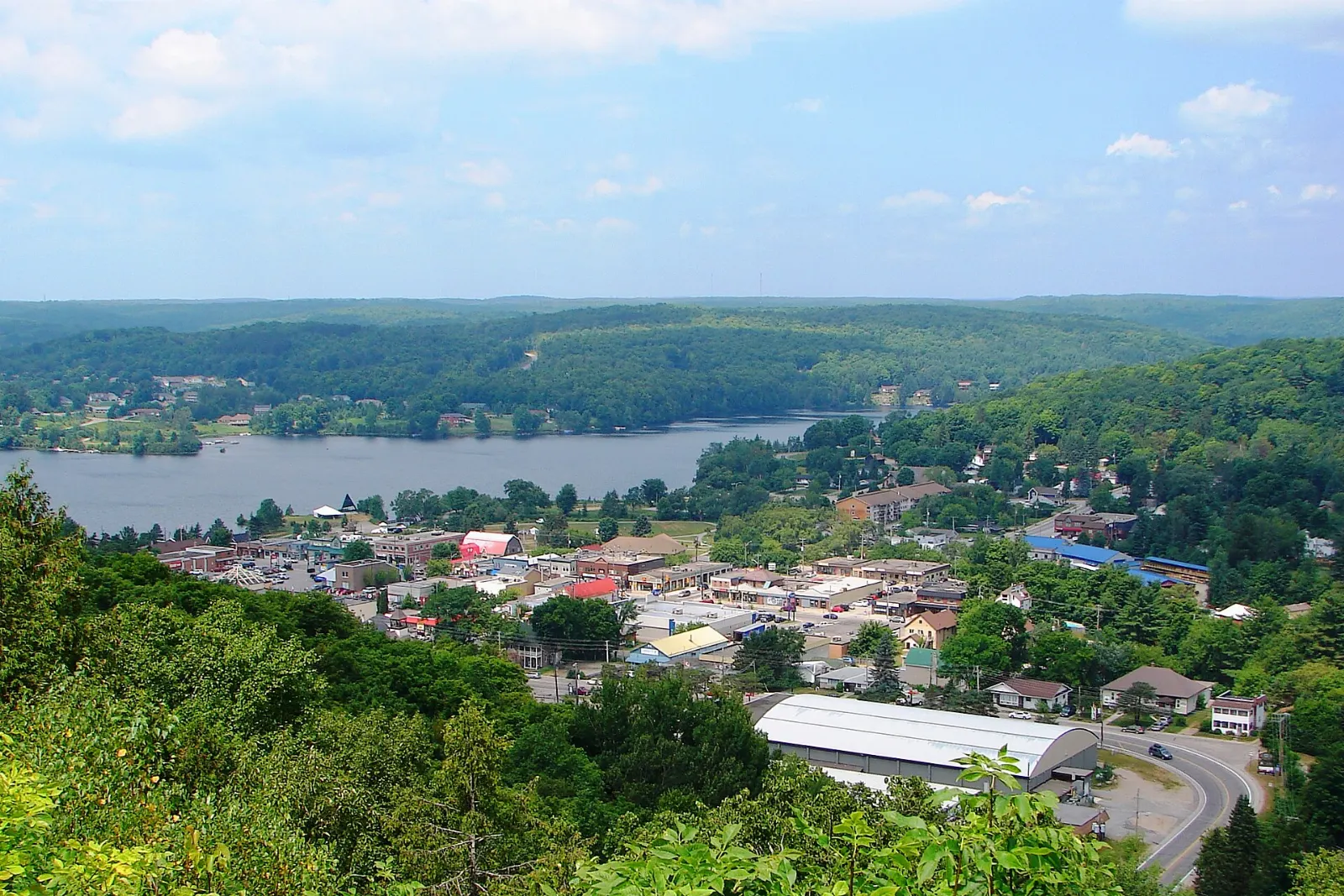
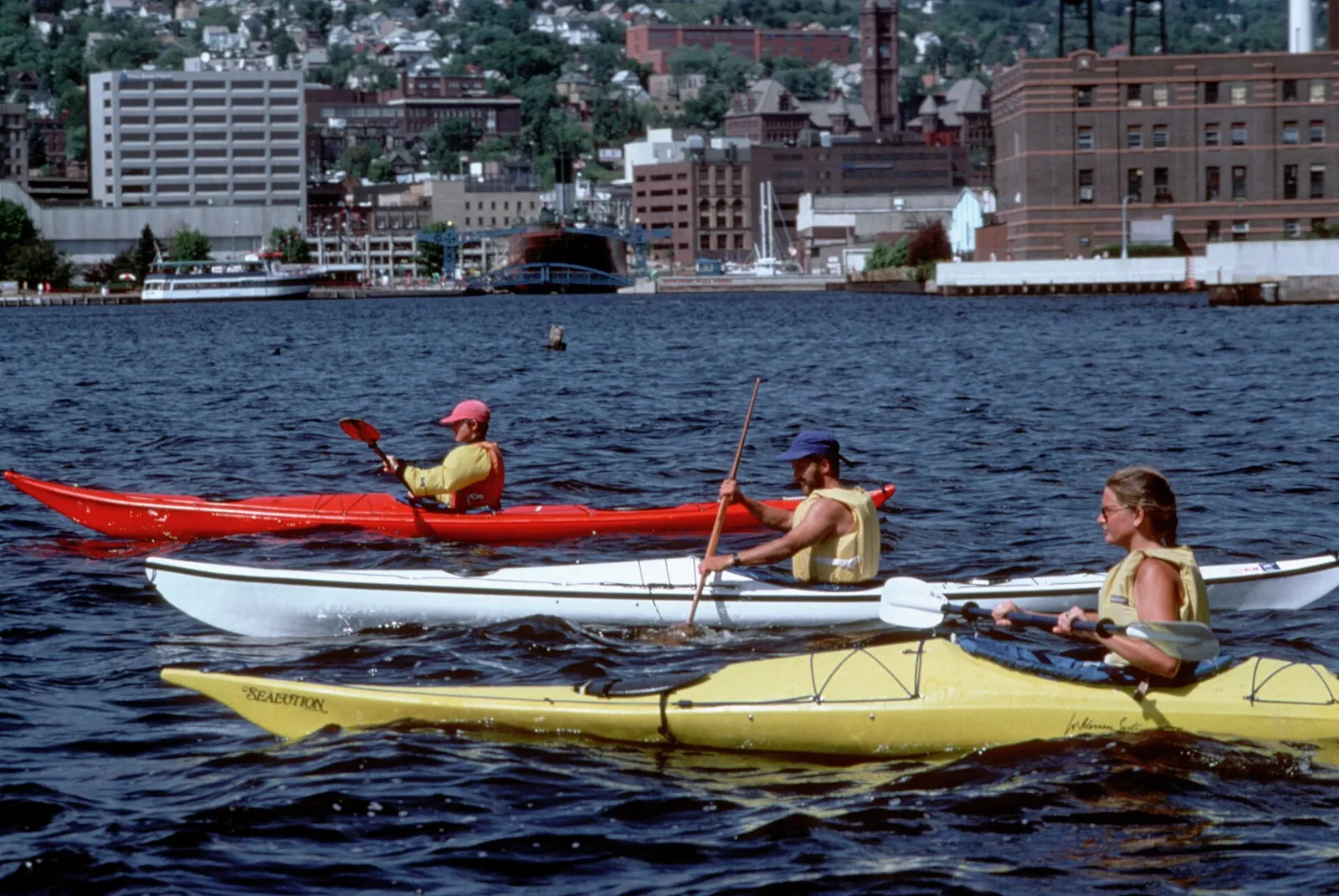
The town of Marathon is the closest community to the park, and it is the place for last-minute supplies and onward transport. Buses serve the town, and a taxi can take you the rest of the way to the park.
 Planning a trip to Pukaskwa National Park?Compare hotels, flights and vacation rentals for Pukaskwa National Park on Expedia.Book now
Food and local flavors
There are no restaurants inside the park, so you must bring all your own food. Stock up in Marathon or before you leave larger towns, and pack for every meal you plan to eat on the trail.
Bannock, a pan-fried bread with Indigenous roots, is easy to make over a camp stove and is popular on trips like this. Along the lake, ask in town about local bakeries and fish sellers, as they come and go.
Popular dishes to try in Pukaskwa National Park


Where to stay
Hattie Cove Campground is the easiest choice, with serviced and unserviced sites and glamping tents. It is close to the visitor centre and short trails, so it suits first-timers and families.
The Coastal Hiking Trail has backcountry sites for hikers who want solitude, and permits are required for overnight use. If you prefer a bed, Marathon is the nearest town, a short drive from the park entrance.
Where to stay in Pukaskwa National Park


Best time to visit
The park is open from mid-May to mid-October, and weather conditions in early May can affect services.
Early autumn is quieter and brings crisp air for hiking, though services wind down toward Thanksgiving. Services outside the open season are limited, so check the Parks Canada website before you go.
Getting there and getting around
Pukaskwa lies near Marathon, and the only road access is Highway 627, which leaves the Trans-Canada Highway and runs about 15 kilometres to Hattie Cove. The drive from Thunder Bay Airport takes about three and a half hours, and from Sault Ste. Marie about five hours.
Air Canada, Porter and WestJet serve Thunder Bay and Sault Ste. Marie. Ontario Northland buses go to Marathon, and taxis cover the final stretch to the park.
A suggested itinerary
First day
Arrive at Hattie Cove, visit the information desk and walk the short trails near the campground.
Second day
Hike toward the White River Suspension Bridge and Chigamiwinigum Falls, starting early and carrying plenty of food and water.
Third day
Try the Mdaabii Miikna loop at Picture Rock Harbour, or begin a longer section of the Coastal Hiking Trail if you have booked a backcountry site.
Practical tips
- Bring all food and supplies, as there are no eateries inside the park.
- Store food securely because black bears and wolves live in the park.
- Register your backcountry trip and carry maps, since signal is unreliable.
- Pack for cold lake winds, rain and quick changes in weather.
- Respect the Pukaskwa Pits and other cultural sites by leaving them untouched.