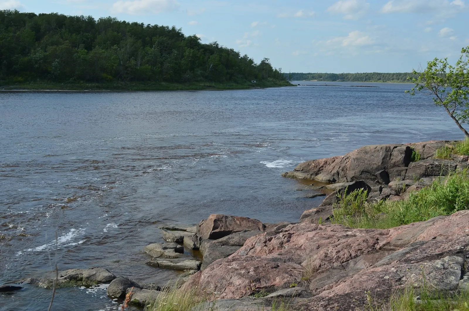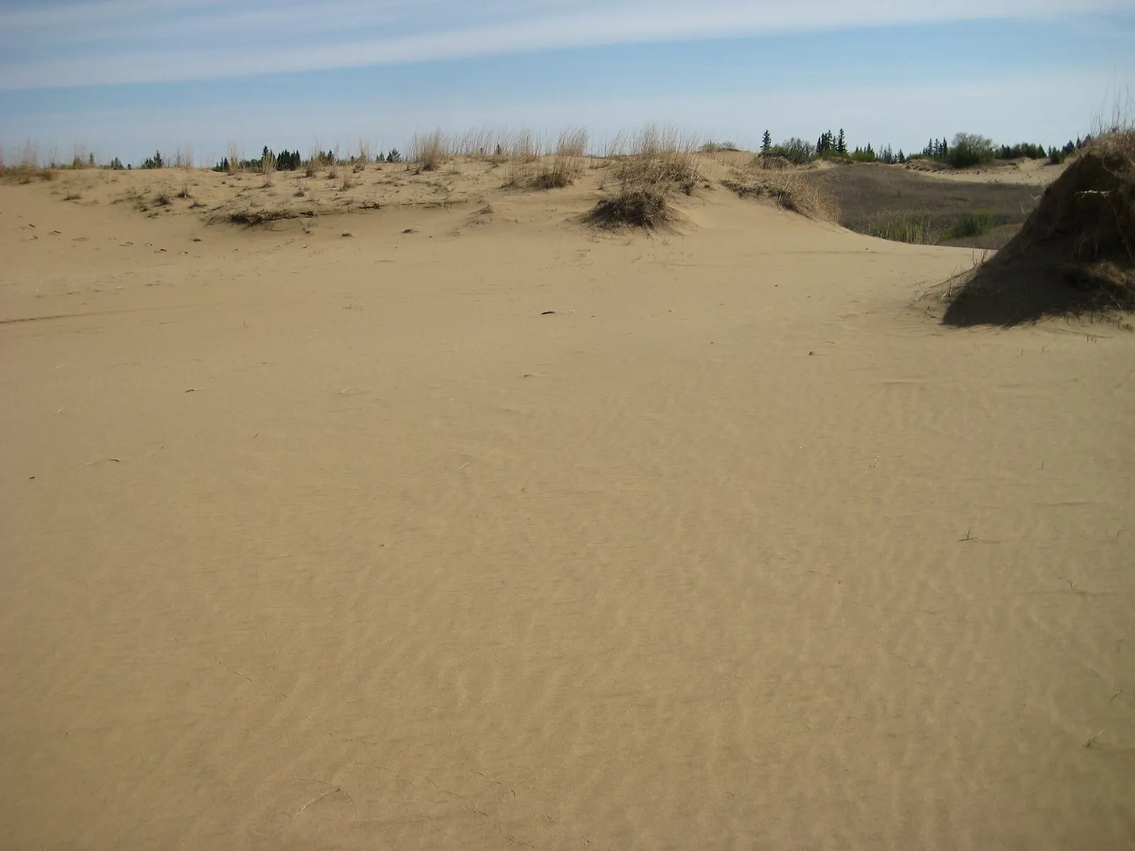
Spruce Woods Provincial Park sits in south-central Manitoba where the Assiniboine River cuts through an old glacial delta. The result is one of the strangest landscapes on the Canadian prairies: open sand dunes, prickly pear cactus and hognose snakes alongside spruce forest and river valley.
AT A GLANCE
Best time
Late spring to early autumn suits hiking, while winter suits skiing on groomed trails.
How long
A full day covers the dunes, though two days let you hike and explore nearby towns.
Getting there
Drive Highway 5 south from the Trans-Canada near Carberry into the park.
Why visit Spruce Woods
The park covers about 269 square kilometres and was designated a provincial park in 1964. Its centrepiece is the Carberry Sandhills, also known as the Spirit Sands, one of very few areas of sand dunes in Canada.
Open and stabilized dunes shelter plants and animals found nowhere else in Manitoba, including some cacti and hognose snakes. In 2020 the park was named a Canadian Dark-Sky Preserve, so evenings can be as memorable as days.
The mix of habitats makes the park easy to enjoy at any pace. You can take a short walk from a trailhead, plan a full day of cycling, or spend a night in a trail shelter, and the scenery changes quickly between dune, forest and river valley.
Sandhills and trails
Spirit Sands
The Spirit Sands are the star of the park, a stretch of rolling dunes surrounded by grass and forest. Allow half a day to walk among them, and stay on marked trails to protect fragile plants.
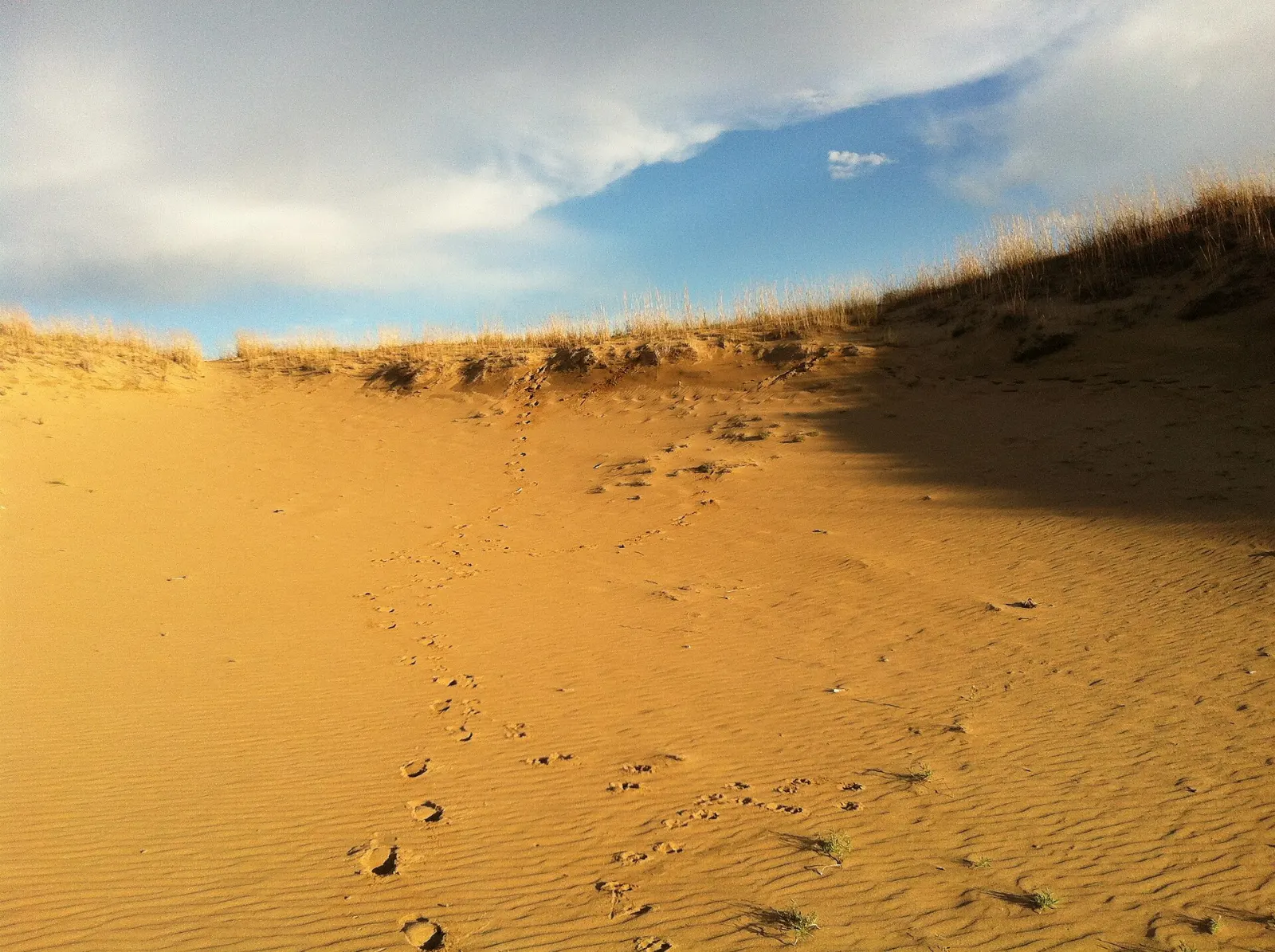
Newfoundland Trail
This 38 kilometre trail begins at a parking lot off Highway 5 and twists through the hills to Jackfish Lake near the Assiniboine River. It is open year-round, and it is groomed in winter for cross-country skiing.
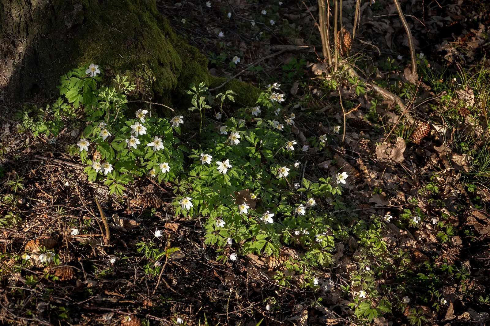
Jackfish Lake
Jackfish Lake is the destination at the far end of the Newfoundland Trail and a quiet spot to rest near the river.
Epinette Creek Trail System
A series of loops carve through unusual terrain here, and many cyclists enjoy riding them each year. Choose a loop that matches your fitness and bring a repair kit and water.
Trans Canada Trail
A section of the Trans Canada Trail passes through the park, so walkers and cyclists can add a stretch of the national route to their visit. Ask park staff which sections suit your plans before you set out.
History and dark skies
Pine Fort
In the late 1760s, independent fur traders from Montreal built a small trading post called Pine Fort on the Assiniboine River within what is now the park.
Historical plaques
Other plaques in the park honour the Assiniboine (Nakota) First Nation and their role in Manitoba's heritage, and Norman Criddle, an early naturalist. They add context to the landscape, and they are worth a stop if you enjoy local history.
Stargazing
The Royal Astronomical Society of Canada designated the park a Dark-Sky Preserve in 2020, which makes it one of the better places in southern Manitoba to see stars.
Carberry, Camp Hughes and Glenboro
Carberry Plains Museum
Carberry lies about twenty kilometres north of the park and is the main service town. Its museum is a good rainy-day stop, and the surrounding farmland is known as King Spud Country because of the high-quality potatoes grown there.

Camp Hughes
West of Carberry, Camp Hughes trained more than thirty-eight thousand Canadian soldiers during World War I and is now a provincial heritage site with trench systems. A roadside wayside park on the Trans-Canada Highway marks the area.
Glenboro and Sara the camel
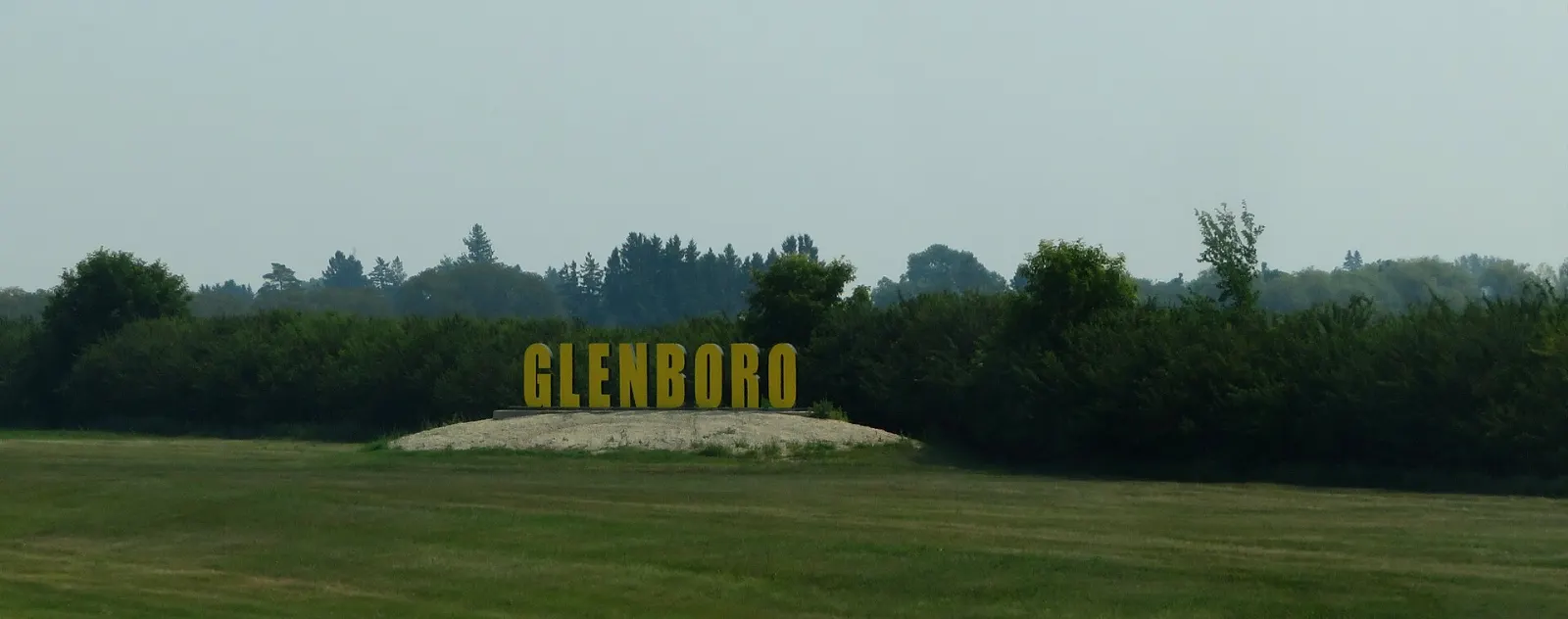
Glenboro stands southeast of Brandon along Highway 2 and is home to Sara the camel, a seventeen-foot statue made in 1978 that celebrates the nearby Spirit Sands.
 Planning a trip to Spruce Woods Provincial Park?Compare hotels, flights and vacation rentals for Spruce Woods Provincial Park on Expedia.Book now
Food and local flavors
Dining here is simple and prairie flavoured. Saskatoon berry pie is the iconic dessert, made with a sweet and nutty berry that has long been eaten by Indigenous peoples in Canada, and you will find it in local bakeries and cafes.
Bannock, a simple bread served with tea at festivals such as the Gimli Ice Festival, is a prairie staple, and smoked goldeye is a Manitoba classic worth trying if you see it in a shop.
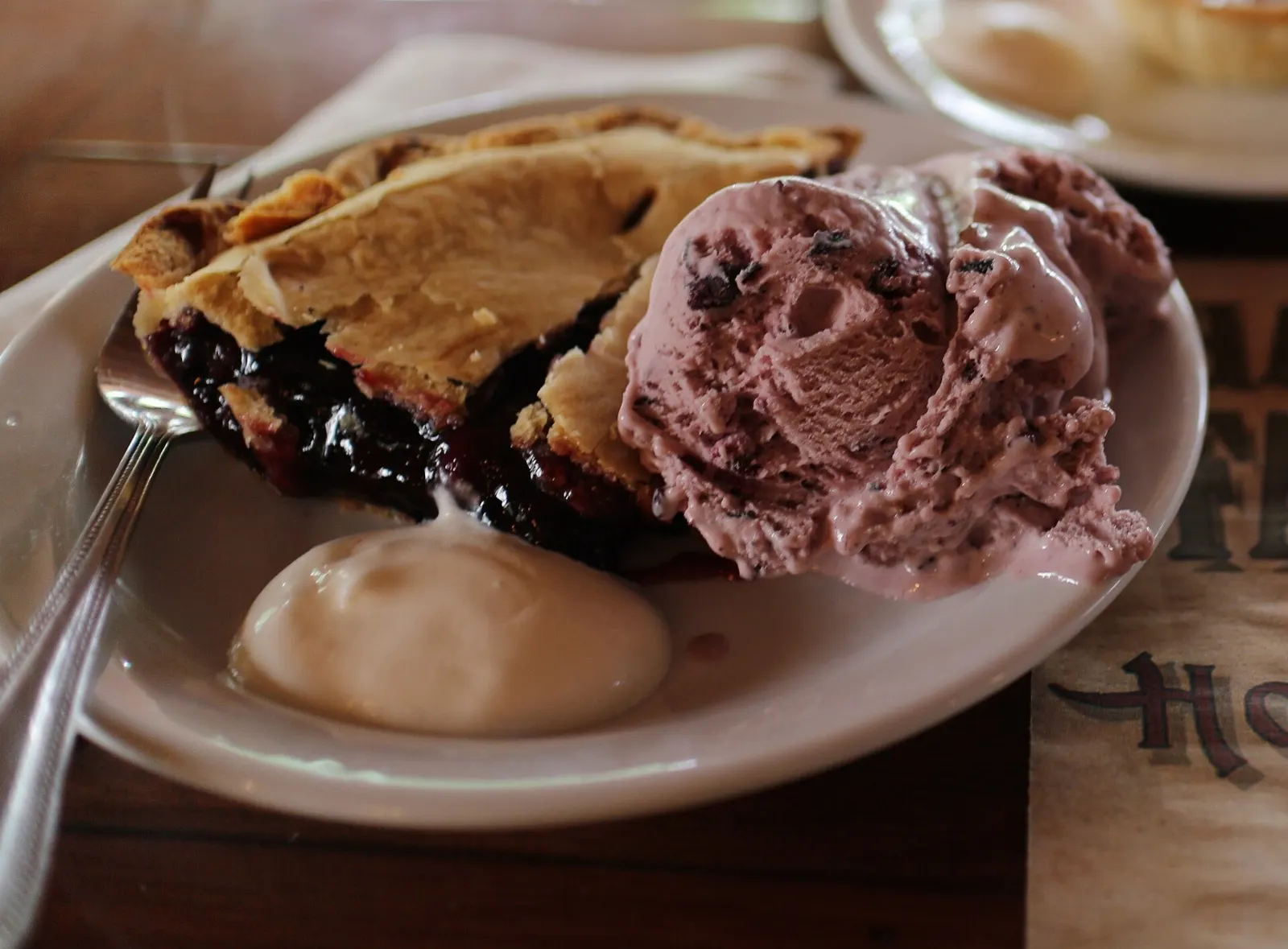
Popular dishes to try in Spruce Woods Provincial Park


Where to stay
Carberry is the most convenient base, about twenty kilometres from the park along Highway 5. It suits families and road-trippers who want a bed, a meal and fuel close to the trailheads, and it is just south of the Trans-Canada Highway.
Glenboro is a quieter small town southeast of Brandon, with a golf course and friendly local services. It suits travellers who want a calm base and an easy drive to the southern side of the park.
Brandon, about fifty kilometres west of Carberry, offers the widest choice of places to stay, restaurants and services. It suits visitors who want more options and an airport nearby.
Where to stay in Spruce Woods Provincial Park


Best time to visit
Late spring to early autumn is the best time for hiking, cycling and the dunes. Summers are warm, and winters are cold, but the Newfoundland Trail is groomed for cross-country skiing, so cold months have their own appeal.
For stargazing, choose a clear evening with little moon and plan to stay after dark. Spring and early autumn can be quieter, and the cool mornings are good for long hikes.
Getting there and getting around
The park lies on Highway 5, designated in Manitoba as the Parks Route. Carberry is about 150 kilometres west of Winnipeg and sits three kilometres south of the Trans-Canada Highway.
The nearest major airport is Winnipeg James Armstrong Richardson International Airport, and the Brandon Municipal Airport is about forty-eight kilometres west of Carberry. A shuttle service has linked Carberry to the Winnipeg airport on request, so check current options.
A suggested itinerary
First day
Drive to the park in the morning and hike among the Spirit Sands. Have a picnic lunch, then cycle one of the Epinette Creek loops.
Second day
Visit Pine Fort and the plaques, then drive to Carberry for the museum and a meal. In the afternoon, stop at Camp Hughes, then continue to Glenboro to see Sara the camel before you head home.
Practical tips
- Carry plenty of water, sun protection and snacks for the open dunes.
- Stay on marked trails to protect the sensitive dune plants and animals.
- Check the Manitoba government parks website for trail status and entry requirements.
- Bring warm clothing and a red-light flashlight for stargazing.
- Keep your distance from snakes and other wildlife.