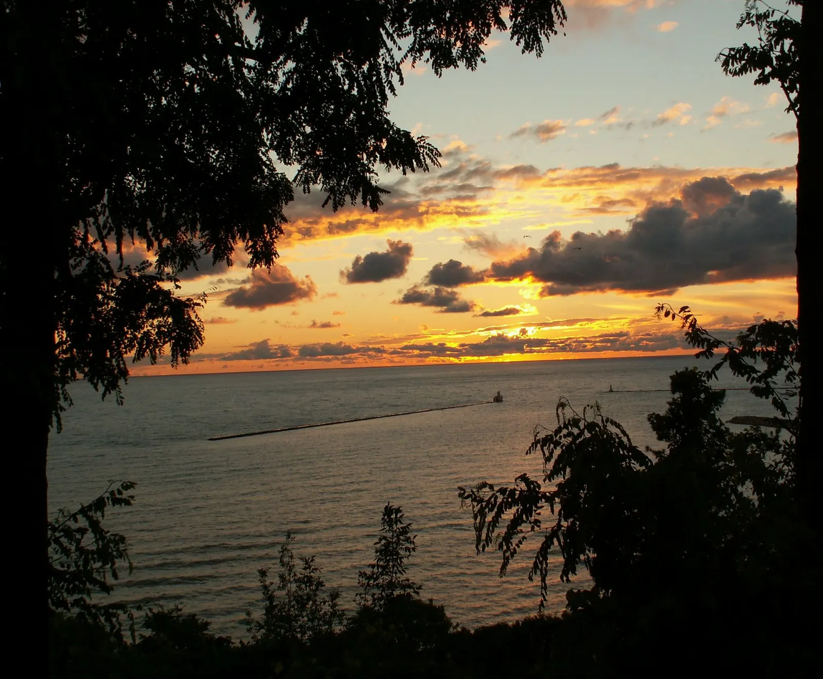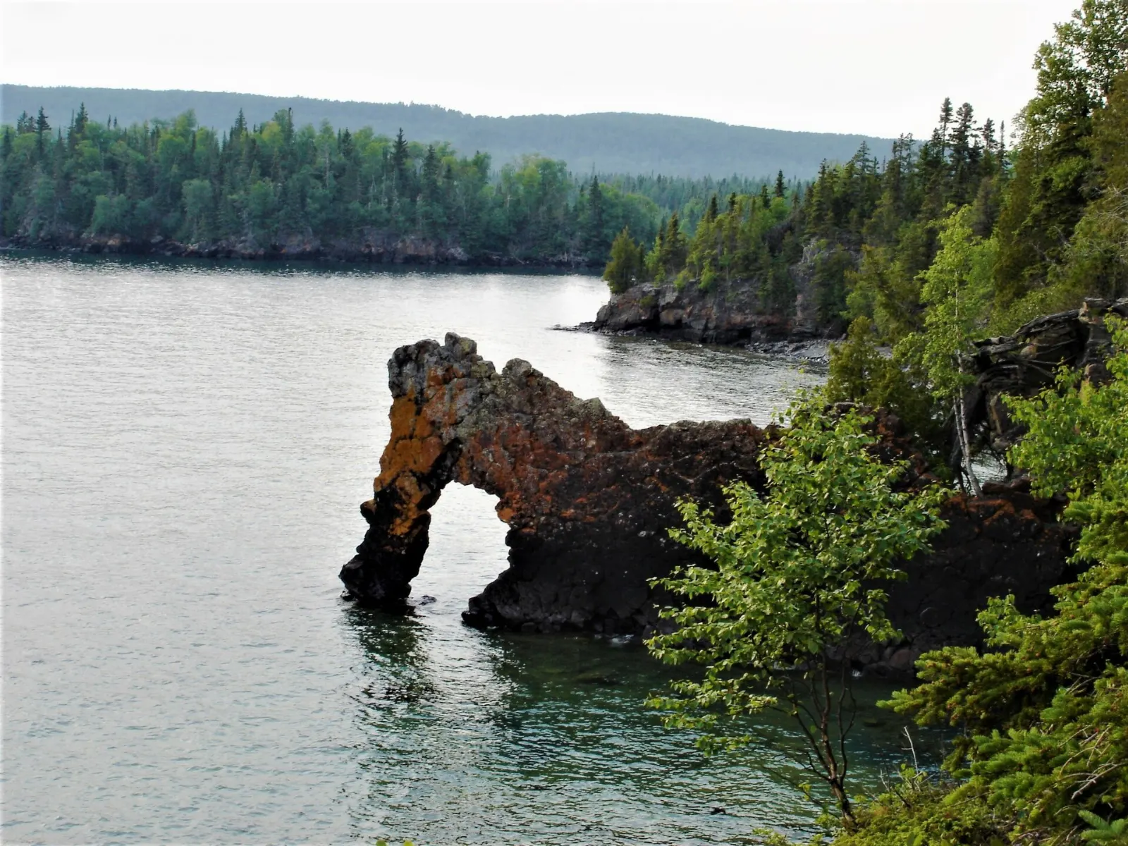
Lake Superior Provincial Park covers about 1,550 square kilometres of rocky shoreline, hills and river valleys on the eastern side of the world's largest freshwater lake. The Trans-Canada Highway runs straight through it, so some of its best sights are a short walk from the car, while the Coastal Trail rewards those with several days to spare.
AT A GLANCE
Best time
Summer for beaches and hiking, and early autumn for fall color and fewer visitors.
How long
One long day for the roadside highlights, or three to five days to hike and paddle.
Getting there
Drive Highway 17 between Sault Ste. Marie and Wawa, which cuts through the park.
Why visit Lake Superior Provincial Park
The park was created in 1944 after residents of Sault Ste. Marie asked for protection of a large piece of the Lake Superior shoreline. What they saved is a landscape of high, rounded hills, rushing rivers and canyons shaped by faults in the Canadian Shield, all meeting a cold, clear lake.
Its artistic story is just as strong. The scenery inspired Canada's Group of Seven painters, and the visitor centre at Agawa Bay explains how the lake shaped the fur trade, shipwrecks and art in the region.
Shoreline highlights along the highway
Agawa Bay and the visitor centre
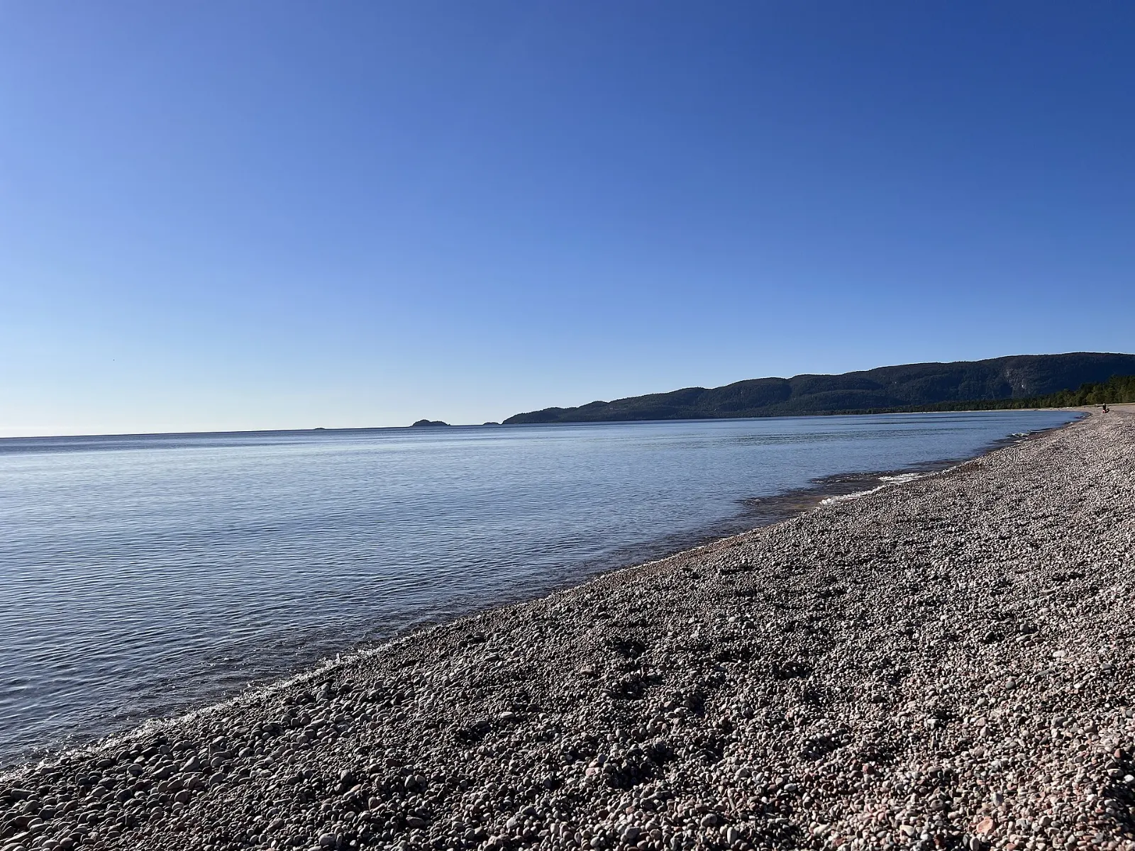
Agawa Bay is the park hub, with a campground, a long beach and a visitor centre that has displays on the park's history.
Agawa Rock pictographs
At Agawa Rock, near the mouth of the Agawa River, Ojibwe artists painted figures with powdered hematite and animal fat, an estimated 150 to 400 years ago. A short but challenging trail leads to a narrow ledge on a sheer rock face above the lake.
Katherine Cove and Bathtub Island
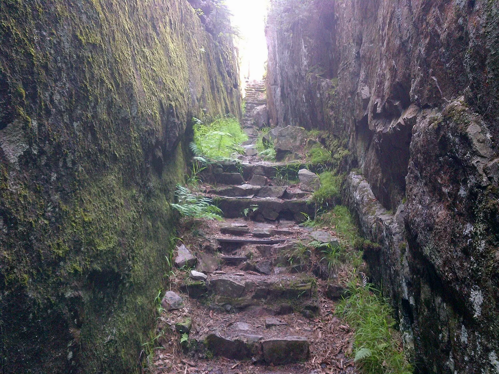
This sheltered cove has a sandy beach and a picnic area, and it is one of the easier places to reach the water. Nearby Bathtub Island is named for a rock hollow that forms a natural pool.
Old Woman Bay
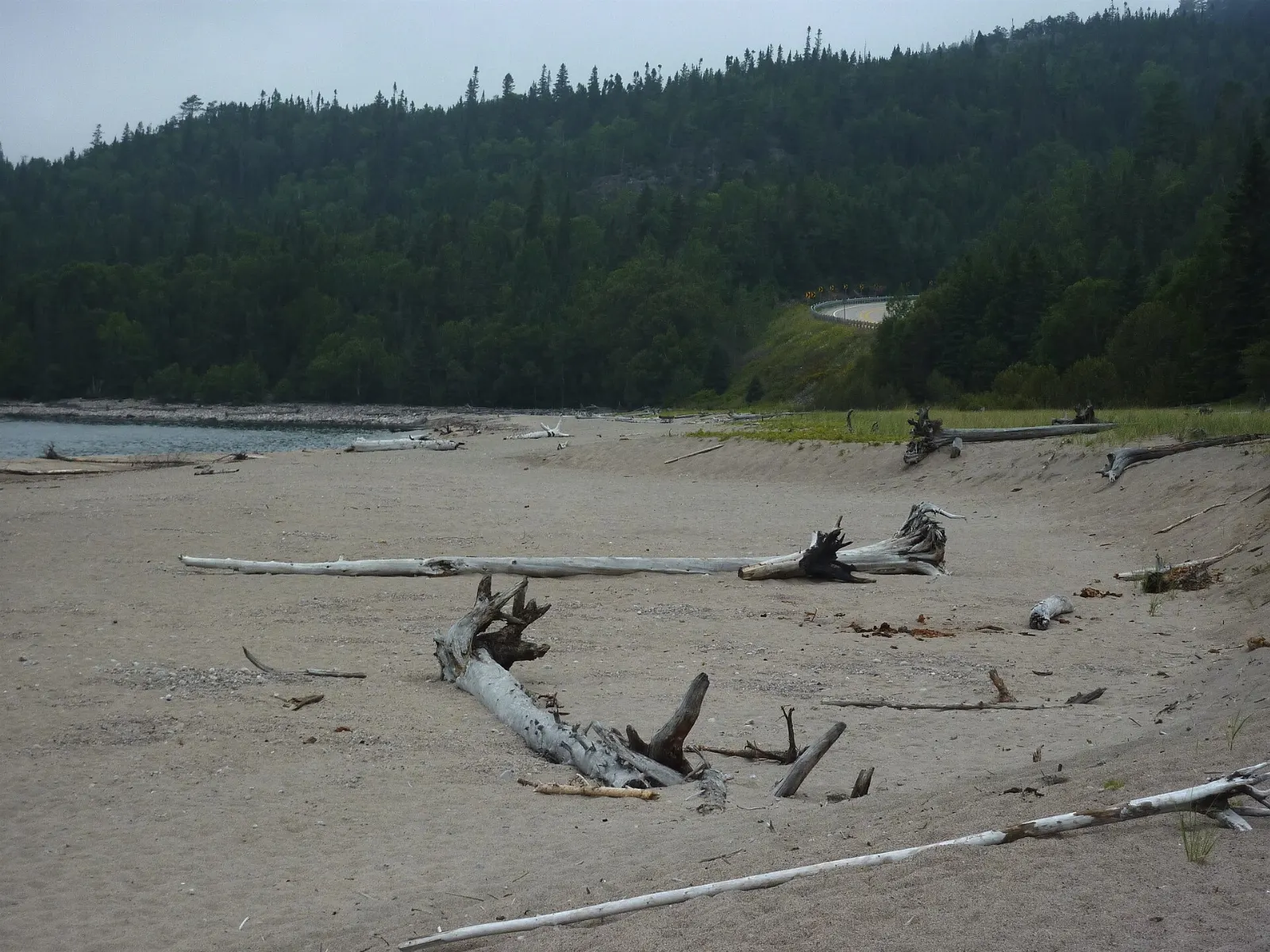
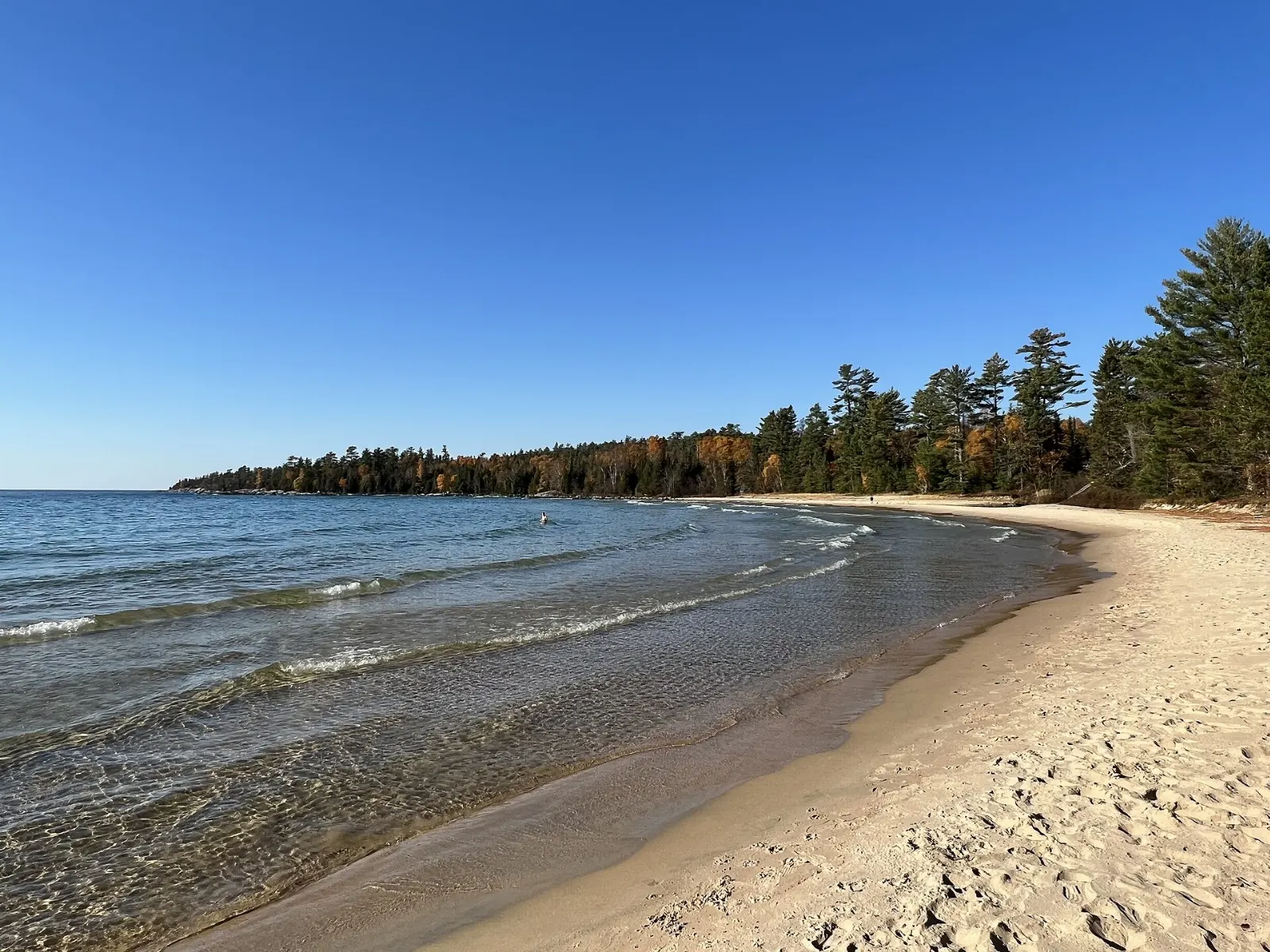
A broad sand beach sits below a cliff about 200 metres high, said to resemble an old woman's face. Picnic tables and composting toilets are available, and the beach is easy to reach from the highway.
Hikes and paddling routes
Nokomis Trail
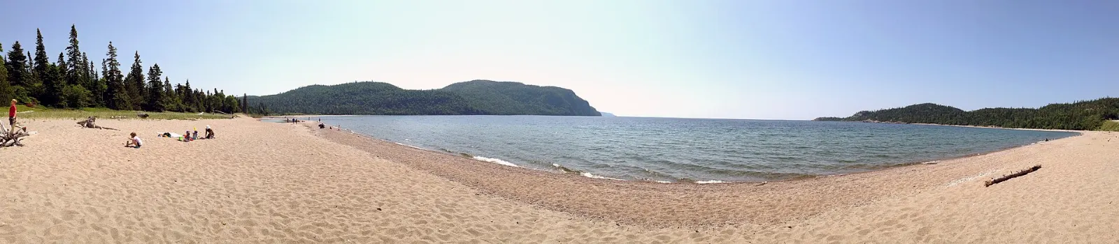
The Nokomis trail leaves from the opposite side of the highway from Old Woman Bay and gives you a hiking option away from the shoreline. It makes a good add-on if you already have the bay in your plans.
Orphan Lake Trail
This is a moderate loop of about eight kilometres through a variety of terrain, usually taking between two and four hours. It is a strong pick for a single day, because it passes beach and forest.
Coastal Trail
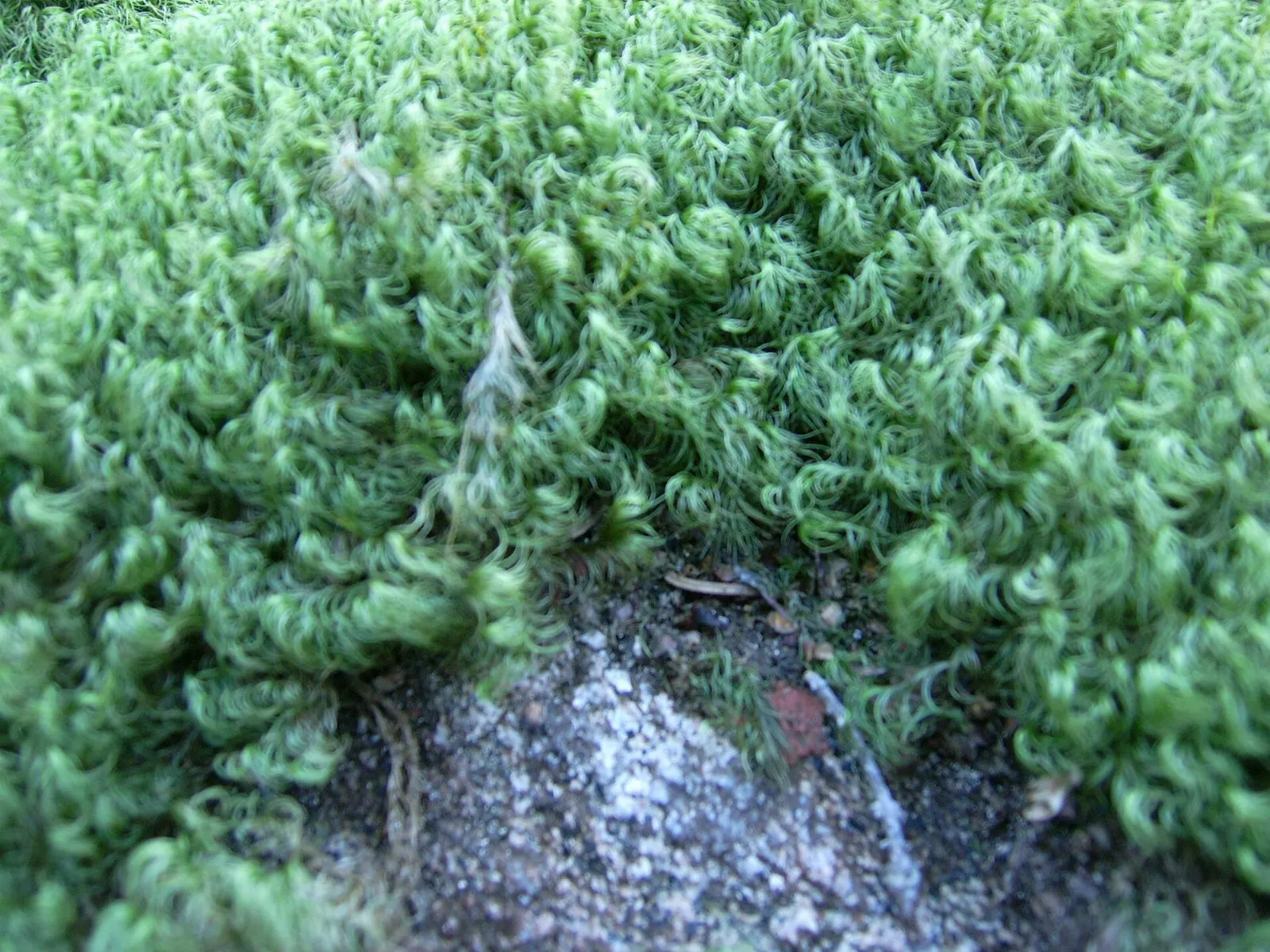
The 65-kilometre Coastal Trail is demanding and takes between five and seven days, with basic backcountry campsites on secluded bays.
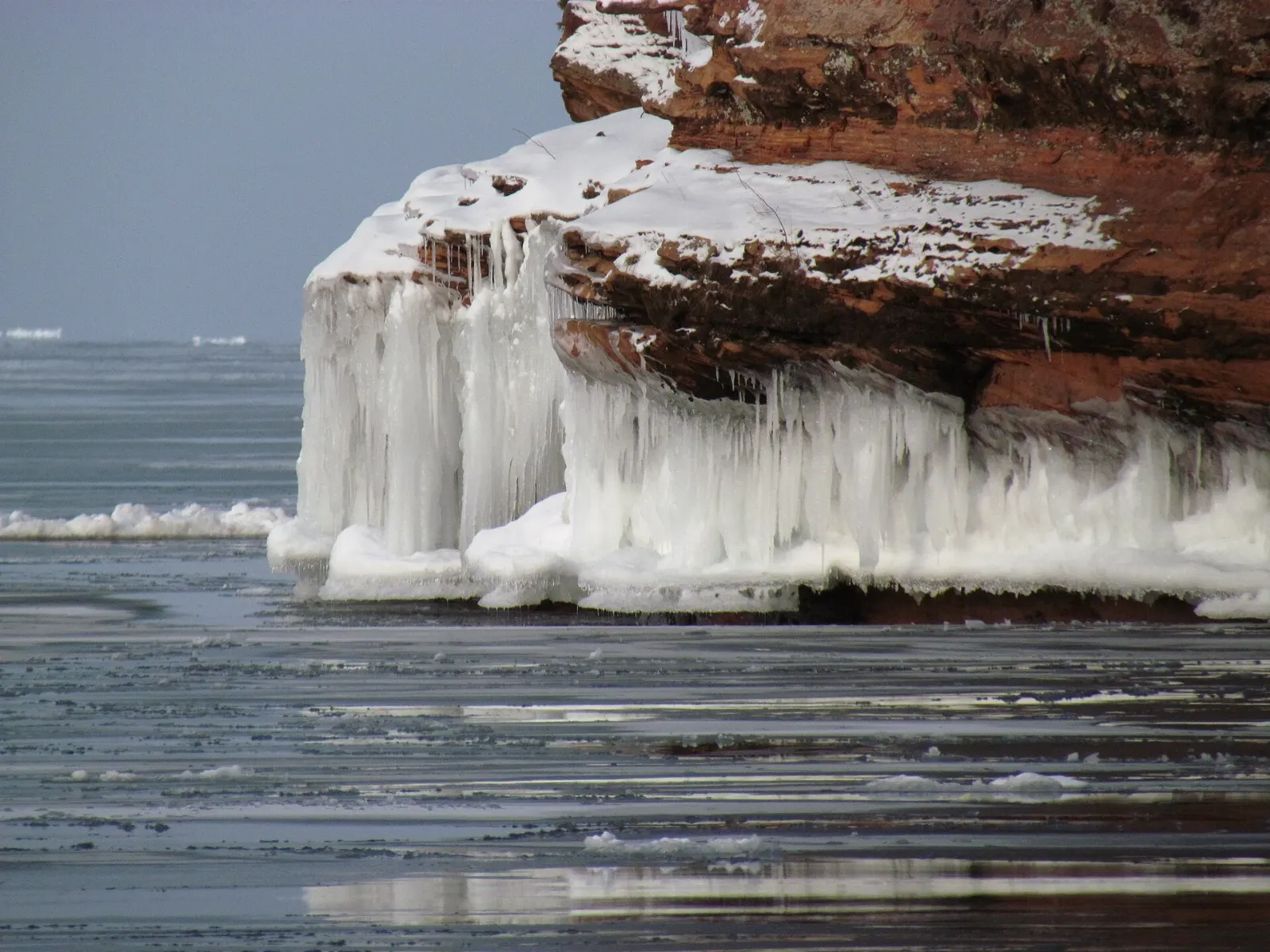
Canoe routes
Interior canoe routes range from easy to challenging and often involve stretches of white water. Open water on Lake Superior itself is only for experienced paddlers because conditions can change fast.
Just beyond the park boundary
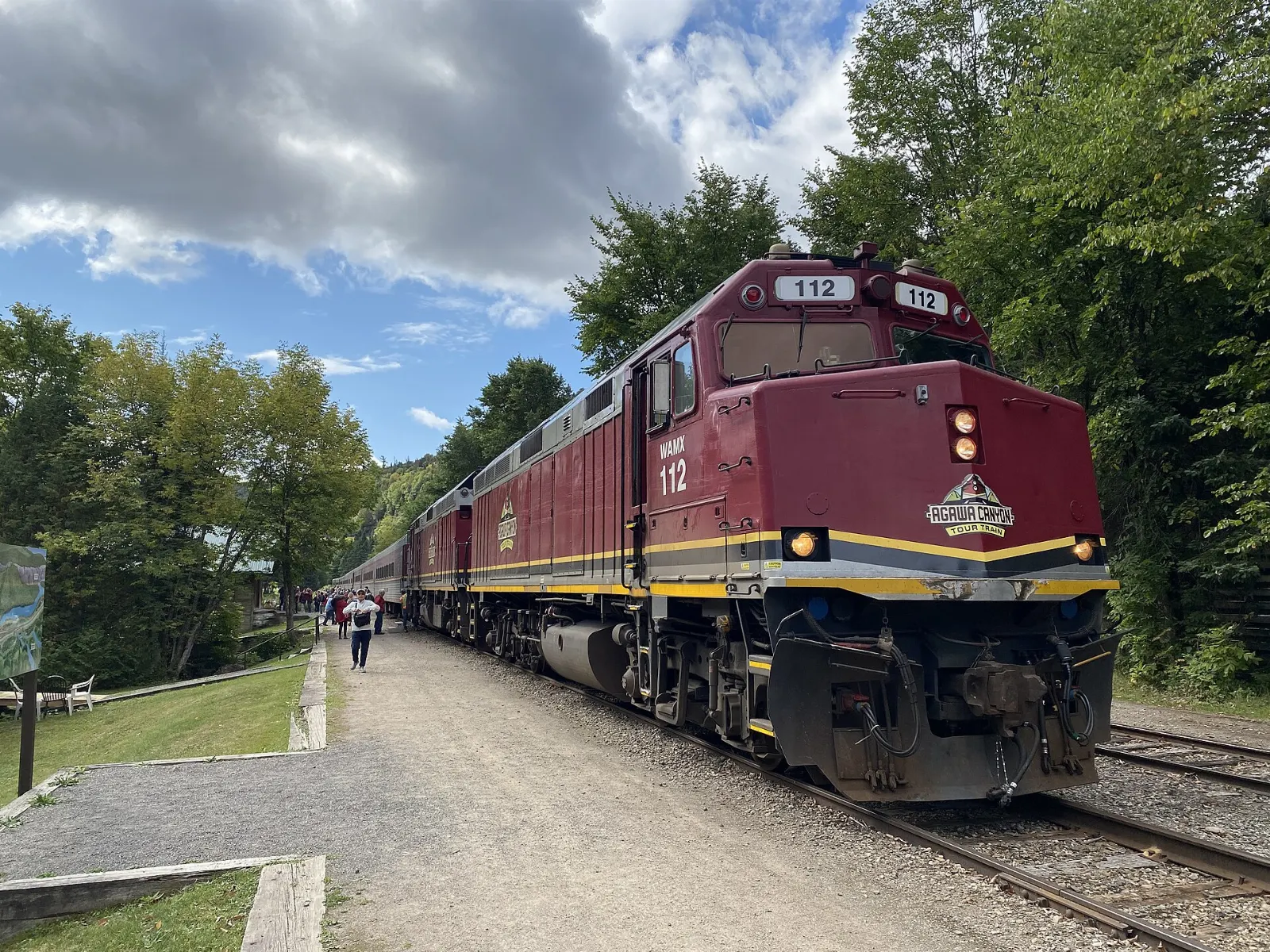
Agawa Canyon Tour Train
Agawa Canyon, carved by the Agawa River, has no road access and is reached by the tour train from Sault Ste. Marie.
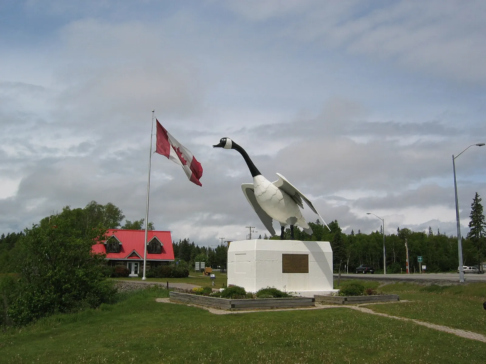
The Wawa Goose
About 20 kilometres north of the park, Wawa marks its place on Highway 17 with a bronze goose roughly 8.5 metres tall. The name comes from an Ojibway word meaning wild goose.
Scenic High Falls
Near Wawa, Scenic High Falls on the Magpie River gorge has a picnic pavilion and an interpretive trail from the bottom to the top of the falls. It is a good pairing with the Voyageur trail section nearby.
 Planning a trip to Lake Superior Provincial Park?Compare hotels, flights and vacation rentals for Lake Superior Provincial Park on Expedia.Book now
Food and local flavors
There are no restaurants inside the park, so bring what you need from Wawa or Sault Ste. Marie, where supermarkets and cafés are your best bet and any seasonal markets are worth a look.
Ontario's signature dessert is butter tarts, small pastry shells filled with butter, sugar, syrup and egg, and bakeries along the route sell them. Bannock, a pan-fried bread with Indigenous roots, shows up at some community events and cafés.
Popular dishes to try in Lake Superior Provincial Park


Where to stay
Agawa Bay Campground has 152 sites within walking distance of the lake, with comfort stations, showers and a seasonal gatehouse that sells firewood. It suits families and anyone who wants the beach at the doorstep.
If you prefer a bed, Wawa is the nearest town north of the park and has motels, with shops and restaurants close by. Sault Ste. Marie, about 120 kilometres south, offers the widest range of rooms and is the best base if you are flying in or taking the train.
Where to stay in Lake Superior Provincial Park


Best time to visit
The park operates from May to October or so. Summers are cool because of the lake, and water temperatures often stay below 15 degrees Celsius in June and July, so fog is frequent early on.
Moose are easiest to see in April, May and June during the spring melt. Early autumn brings the color, when sugar maples contrast with dark boreal evergreens.
Getting there and getting around
The park lies along the Trans-Canada Highway, about 120 kilometres north of Sault Ste. Marie and 20 kilometres south of Wawa. The nearest airport with scheduled service is at Sault Ste. Marie, and a car is the best way to reach the trailheads.
A daily Ontario Northland bus has run between the two towns through the park, but check current schedules before relying on it. Vehicle permits are required for day use and are sold at the park office and campgrounds.
A suggested itinerary
First day
Start at Agawa Bay for the visitor centre and the pictographs hike, then stop at Katherine Cove for a swim or picnic.
Second day
Hike the Orphan Lake loop in the morning, then drive north to Wawa for the goose, a meal and fuel.
Third day
Choose between a short section of the Coastal Trail, a paddle on an interior lake or the Agawa Canyon train from Sault Ste. Marie.
Practical tips
- Buy or confirm your vehicle permit and campsite reservation before you arrive in peak season.
- Pack warm layers even in summer, because Lake Superior breezes are cold.
- Wear sturdy footwear for the pictographs trail and stay off wet rock.
- Store food securely, since black bears and other wildlife live in the park.
- Bring supplies from Wawa or Sault Ste. Marie, as there are no shops inside the park.