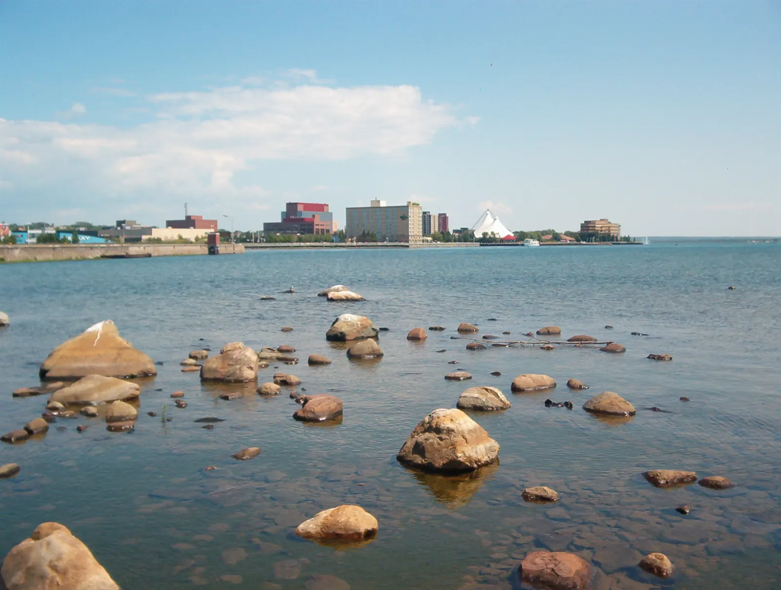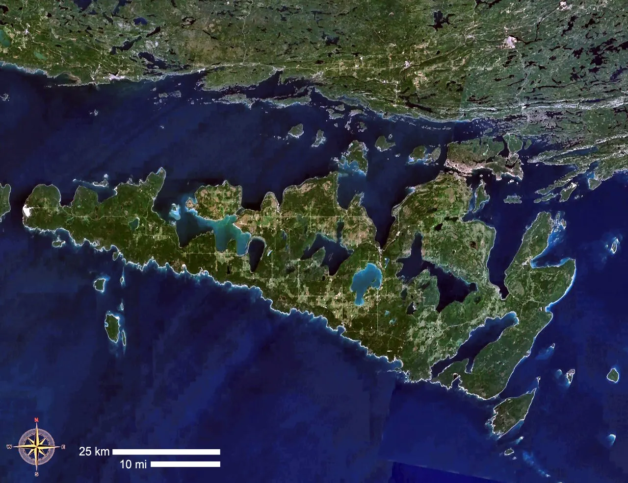
Manitoulin Island rises from northern Lake Huron as the largest freshwater island in the world. Its name means spirit island in Anishinaabemowin, and the Anishinaabe people have lived here for thousands of years.
AT A GLANCE
Best time
June to early October offers the best weather and the ferry.
How long
Plan three or four days to see the main sights.
Getting there
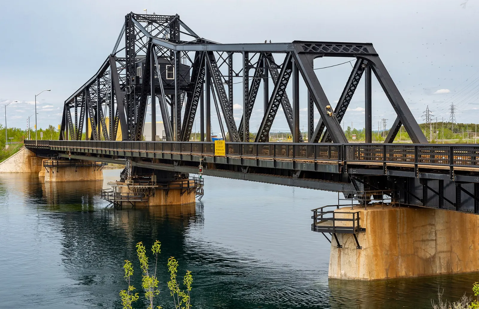
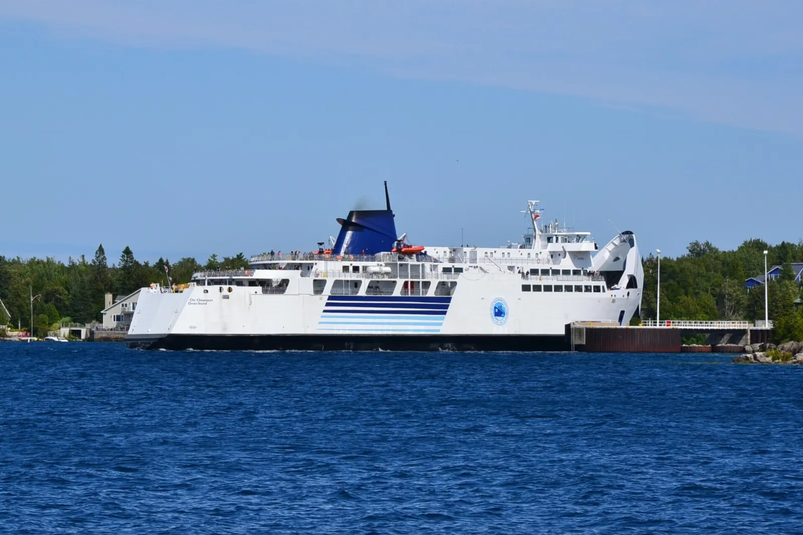
Drive over the Little Current swing bridge or take the Chi-Cheemaun ferry.
Why visit Manitoulin Island
Manitoulin offers a mix of long beaches, cliff trails, waterfalls, small harbour towns and strong Indigenous culture.
The island is sacred to the Anishinaabe, the People of the Three Fires, made up of the Ojibwe, Odawa and Potawatomi. Archaeological finds at Sheguiandah show human presence more than nine thousand years ago.
Little Current and the northeast
Little Current
Little Current sits at the narrow channel where the North Channel meets Georgian Bay, and the swing bridge connects the island to the mainland.
Cup and Saucer Trail
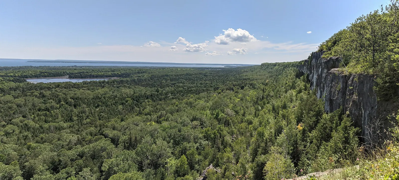
The Cup and Saucer is the island's most famous hike and passes the highest point on the island. The trail follows the escarpment to cliff lookouts with views over farmland and the lake.
Sheguiandah
Sheguiandah is the site of an important prehistoric excavation, and finds here date back thousands of years.
Manitowaning
The village is home to the Assiginack Museum, where a provincial plaque marks the role of the Manitoulin treaties in Ontario's history. Allow an hour for a visit and a stroll.
Central and southern shores
Providence Bay
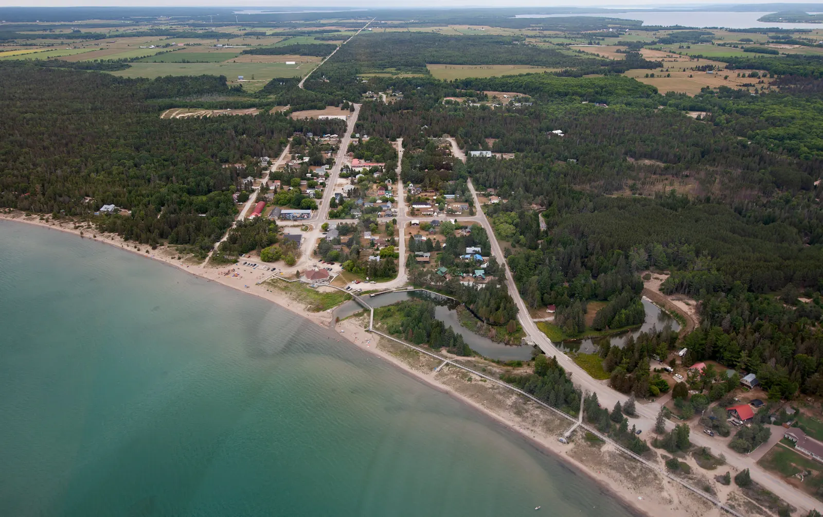
Providence Bay has the second largest freshwater beach in Ontario, and it is free to enjoy. Its sand and dunes make it good for a long walk or a picnic.
Mindemoya and Treasure Island
Mindemoya is a small service town on Lake Mindemoya.
Mississagi Lighthouse
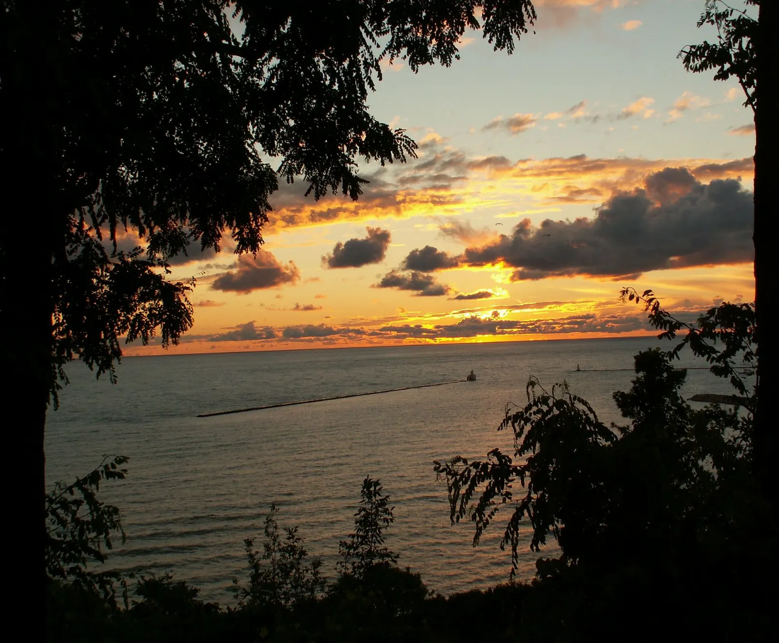
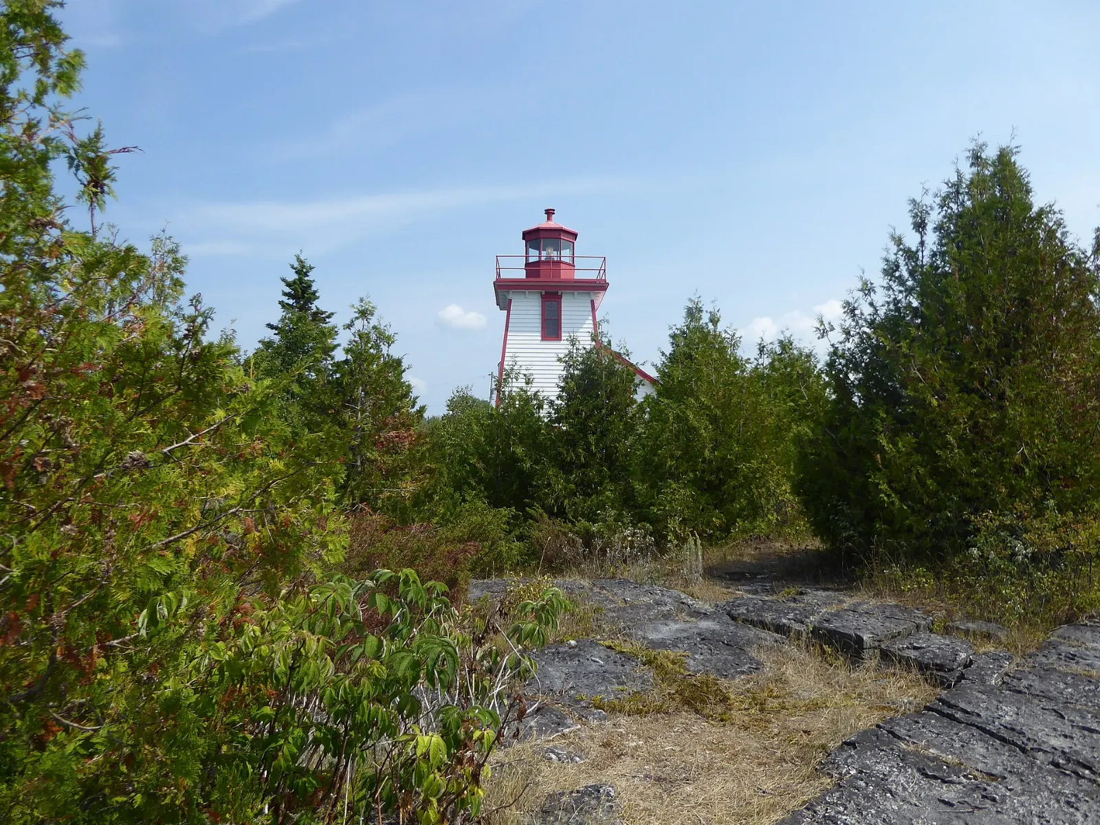
The trail to the lighthouse at the western tip of the island rewards you with open water and big skies. Walk it in the morning or at sunset, and carry water.
South Baymouth
South Baymouth is the island terminal for the Chi-Cheemaun ferry. If you arrive by ferry, take a short walk by the harbour before you head on.
North and west
Kagawong and Bridal Veil Falls
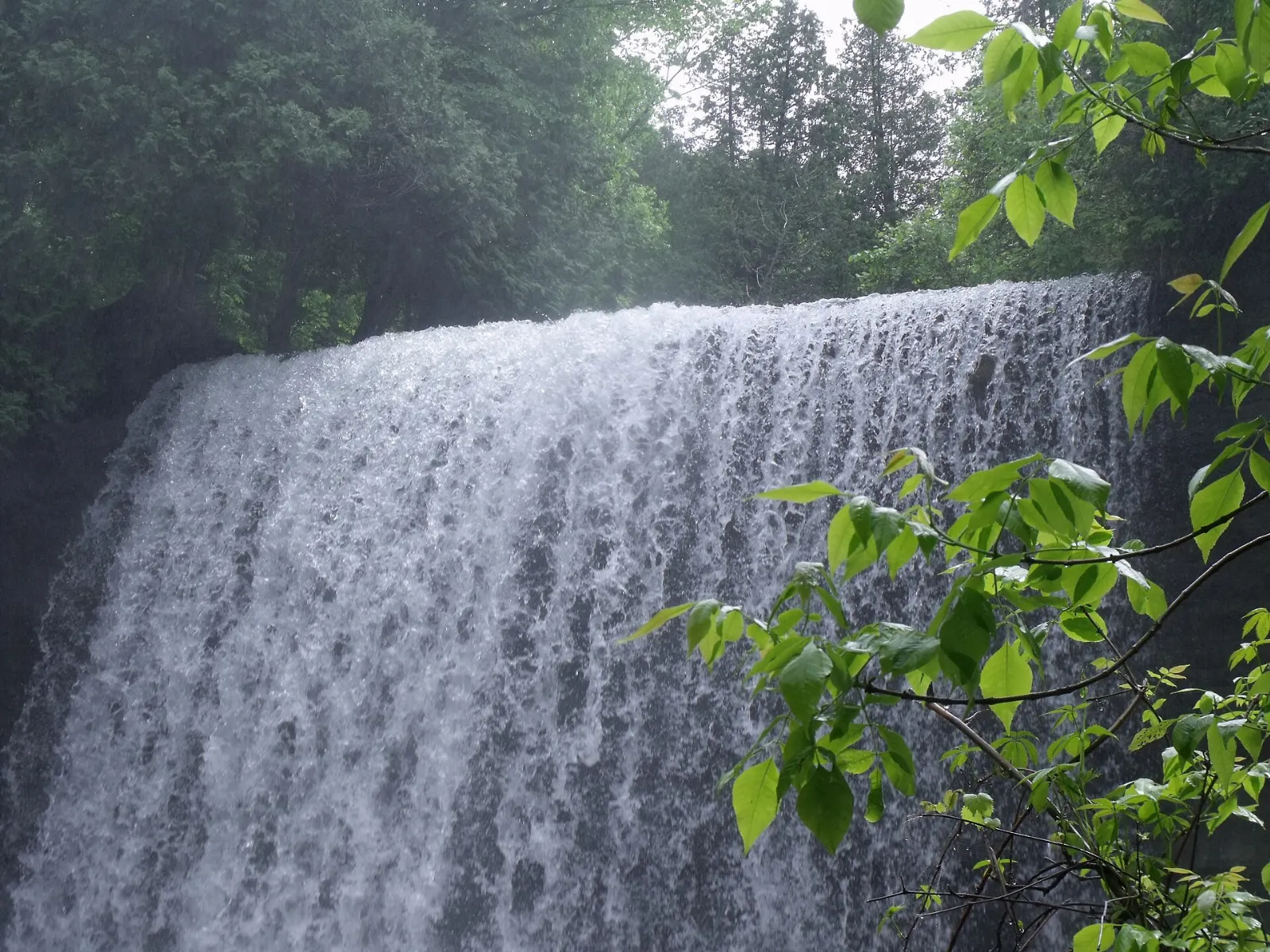
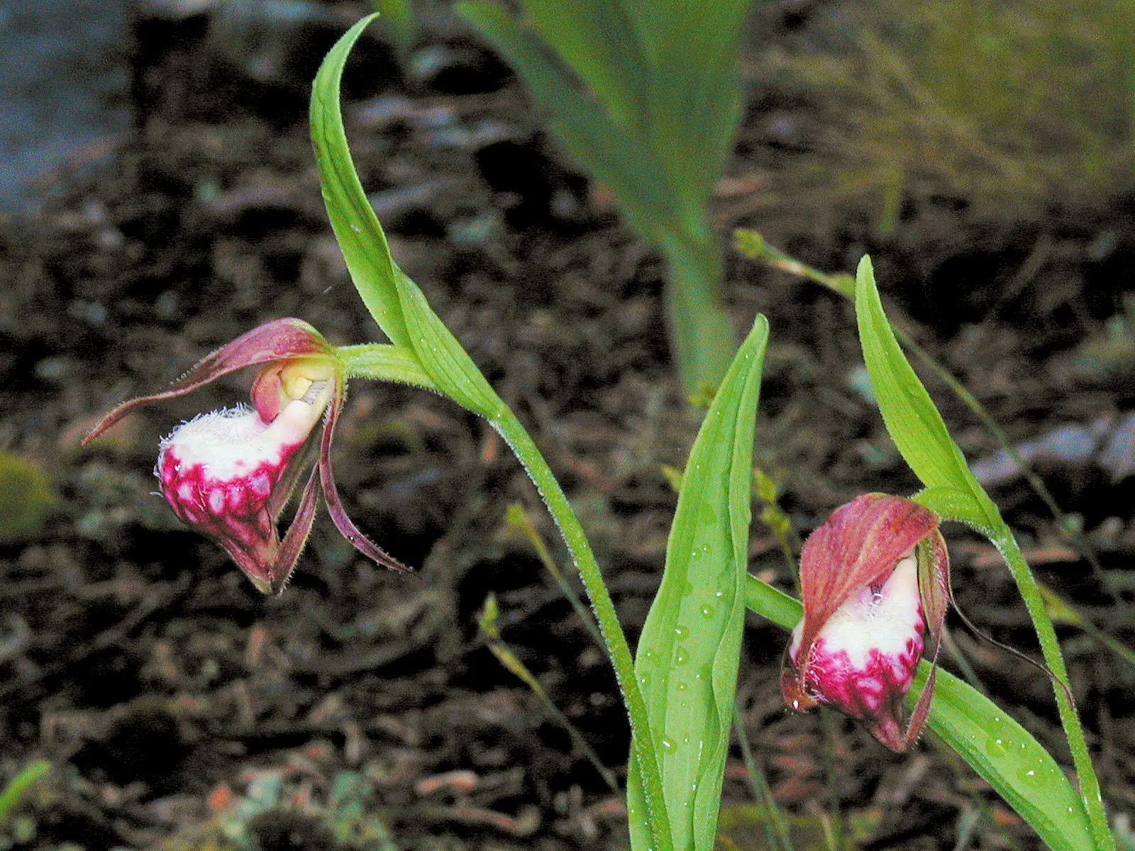
Kagawong is a pretty harbour village, and its name means where mists rise from falling waters. The falls are a short walk from the village, and trails lead past small cascades toward Mudge Bay.
Gore Bay
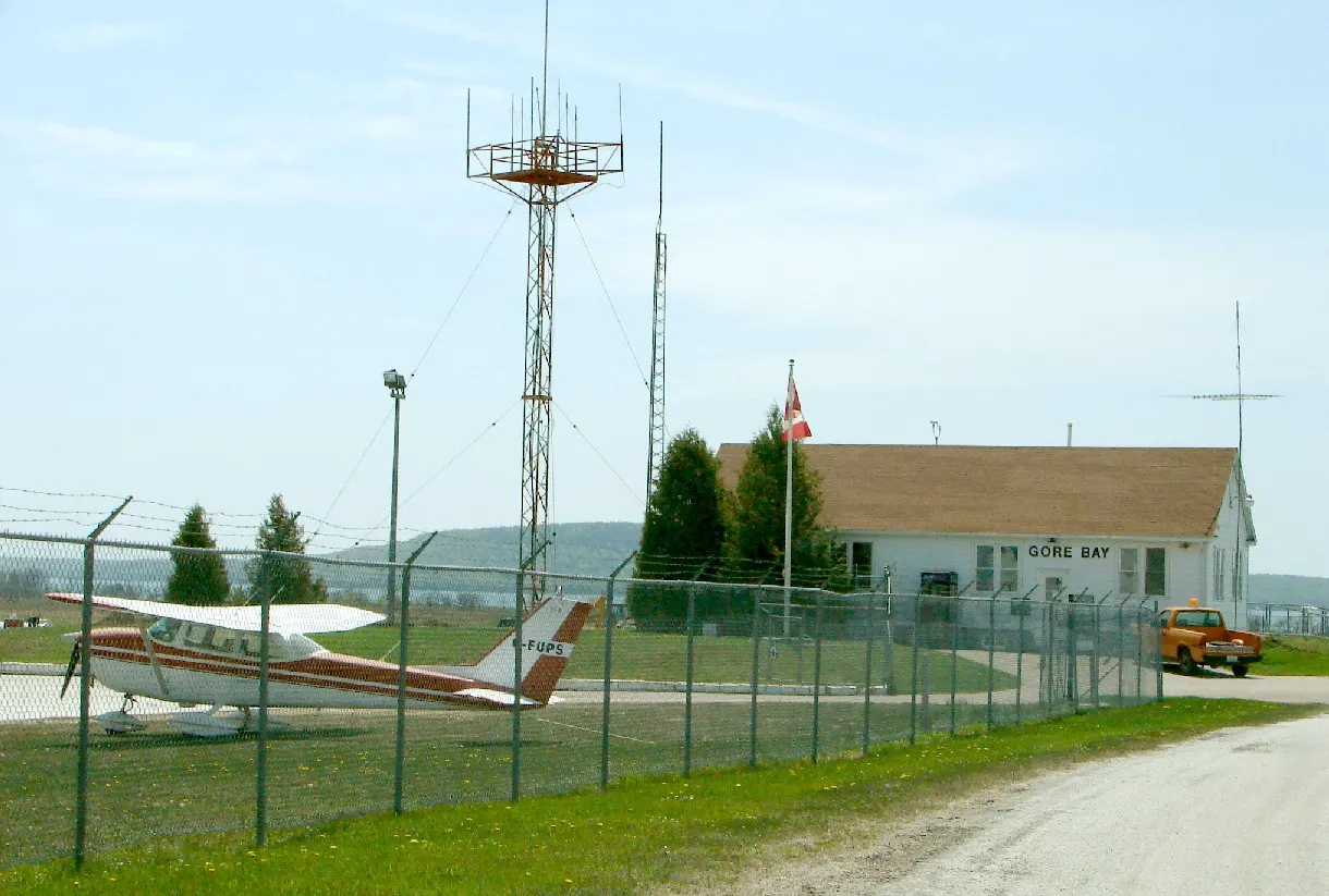
Gore Bay is a harbour town with a marina, shops and restaurants, and a good base for exploring the north shore. Walk the waterfront, then drive to nearby viewpoints.
Misery Bay Nature Reserve
Misery Bay is on an ancient flat rock sea bottom known as an alvar. The Great Lakes basin has the world's most important examples of this habitat, and Manitoulin has the most significant cluster.
Culture and events
Wikwemikong
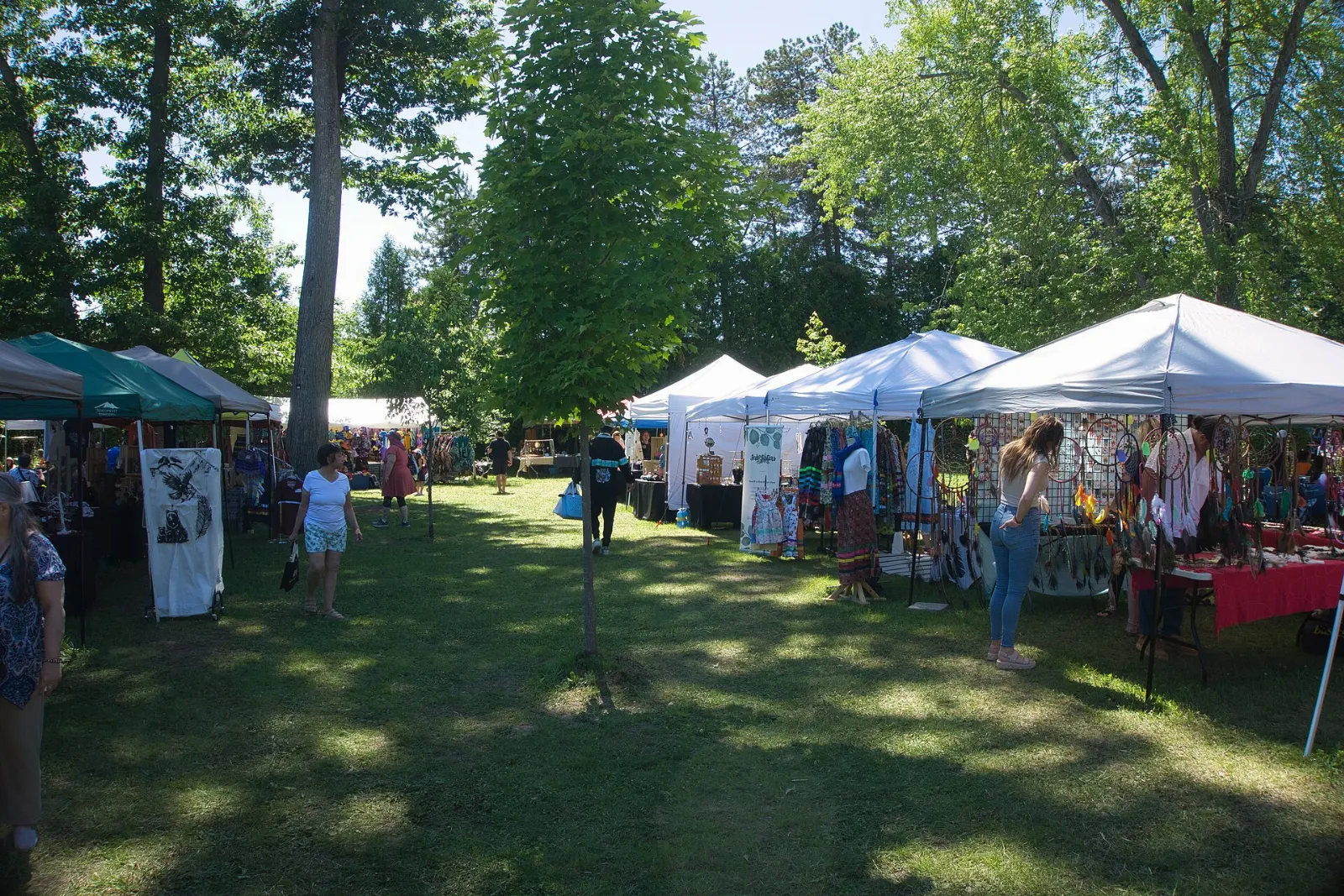
Wikwemikong is an unceded territory on the east side of the island. Each summer it hosts a cultural festival and pow wow, with dance competitions, arts and crafts.
The Great Spirit Circle Trail
This Indigenous tourism route offers guided walks, storytelling and plant knowledge. It is a good way to learn from local hosts.
 Planning a trip to Manitoulin Island?Compare hotels, flights and vacation rentals for Manitoulin Island on Expedia.Book now
Food and local flavors
The Great Lakes shape the table here. Smoked whitefish comes from the region's commercial fishery and is easy to find in shops and takeout places.
Sweet-toothed travelers should try butter tarts, a classic Ontario pastry, from local bakeries. In Kagawong, Manitoulin Chocolate Works is a popular stop. Roadside stands and small restaurants in villages such as Tehkummah and Meldrum Bay are worth a detour.
Popular dishes to try in Manitoulin Island


Where to stay
The island is large, so pick a base to match your plans. Little Current is the most convenient for arrivals by road and for the Cup and Saucer, and it has a harbour and choice of places to eat.
Providence Bay is ideal for beach lovers and families, with sunsets over the water and a quiet atmosphere. Mindemoya sits in the middle of the island and is a handy hub for cottages and campgrounds, with easy drives to the other towns.
Where to stay in Manitoulin Island


Best time to visit
The best weather arrives from June to early October, and the ferry runs from mid May to mid October. July and August are warm and lively, with festivals including the Haweater Weekend in the first weekend of August and the Wikwemikong Cultural Festival and Pow Wow.
Late September and early October bring cooler air, fewer visitors and fall color along the escarpment. Spring and winter are quiet, and some services close.
Getting there and getting around
Two routes lead to the island. By road, drive to Little Current and cross the swing bridge, which is a little under two hours from Sudbury and almost six hours from Toronto.
Once on the island, a car is the practical way to get around, since distances are long. Many cyclists ride the island, but there are no dedicated trail systems, so share the roads with cars and wear bright clothing. The quieter back roads are good for biking.
A suggested itinerary
First day
Cross at Little Current, walk the waterfront and drive to the Cup and Saucer Trail in the afternoon.
Second day
Visit Sheguiandah and Manitowaning, then continue to Providence Bay for a beach walk and a lakeside dinner.
Third day
Head north to Kagawong for Bridal Veil Falls, then Gore Bay for lunch and the harbour.
Fourth day
See Misery Bay or Mississagi Lighthouse in the morning, then leave by road or ferry.
Practical tips
- Book ferry space well ahead in summer, and arrive early for check-in.
- Fill your fuel tank in larger towns, because services are spread out.
- Stay on marked trails and well back from cliff edges.
- Pack insect repellent and sunscreen.
- Ask before photographing people at cultural events.
- Respect Indigenous lands and follow posted rules in First Nation territory.