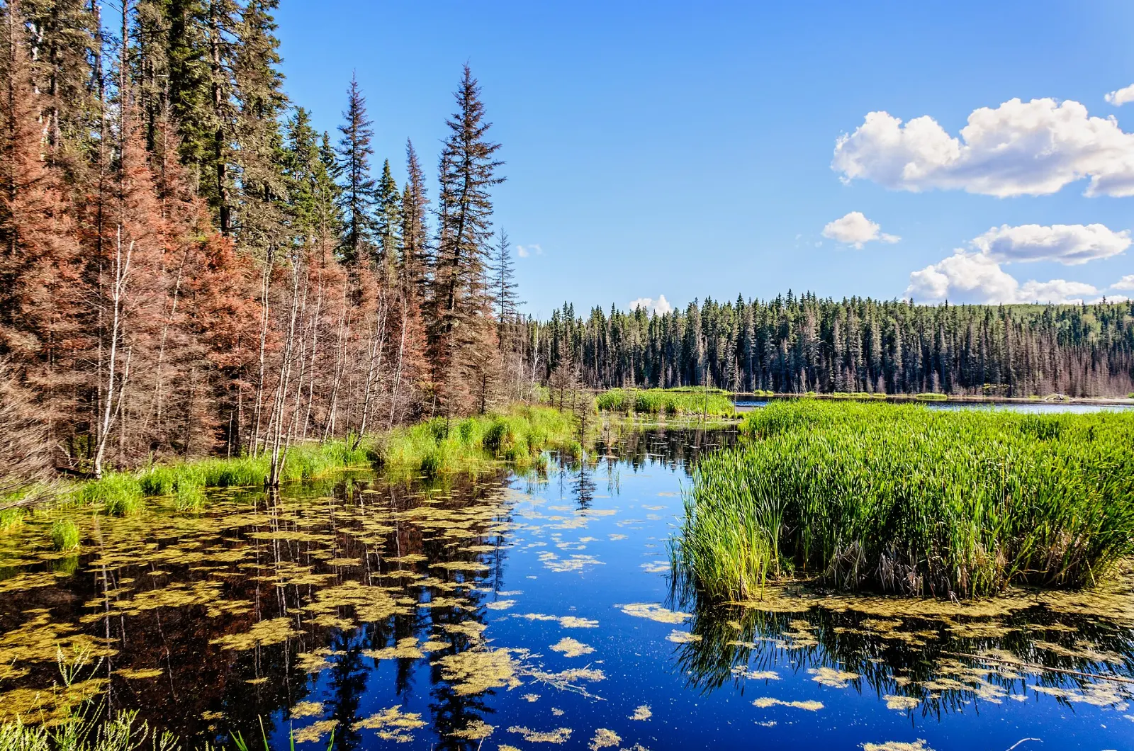
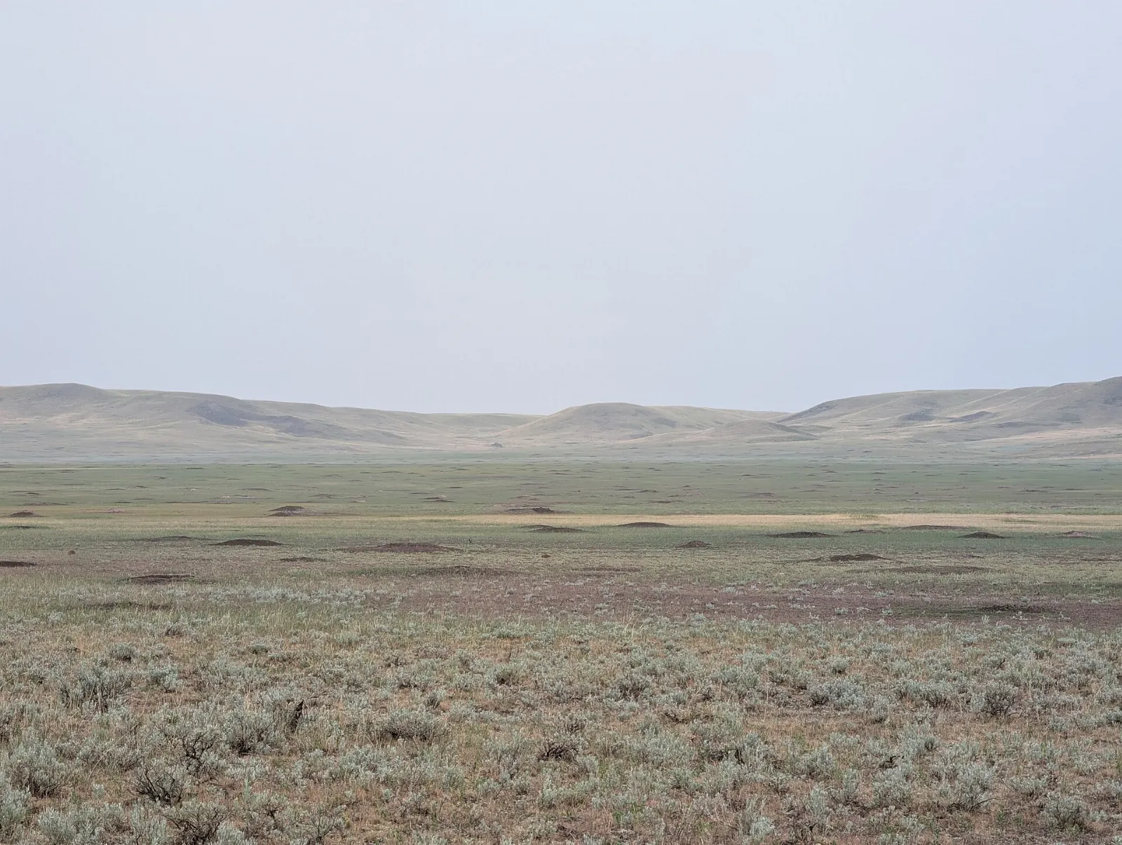
Cypress Hills Interprovincial Park rises like an island of forest and fescue grassland from the dry prairie on the Alberta and Saskatchewan border. It is Canada's first interprovincial park, jointly run by both provinces, and it includes a fur trade era police fort, quiet lakes, long viewpoints and some of the darkest night skies in the country.
AT A GLANCE
Best time
Summer for lakes and trails, or winter for skiing and snowshoeing under clear skies.
How long
Two or three days lets you see one or two blocks without rushing.
Getting there
Fly to Medicine Hat or drive from the Trans-Canada Highway toward Maple Creek.
Why visit Cypress Hills
The plateau rises about 600 metres above the surrounding plains and reaches nearly 1,470 metres at Head of the Mountain, the highest point in Canada between the Rockies and Labrador.
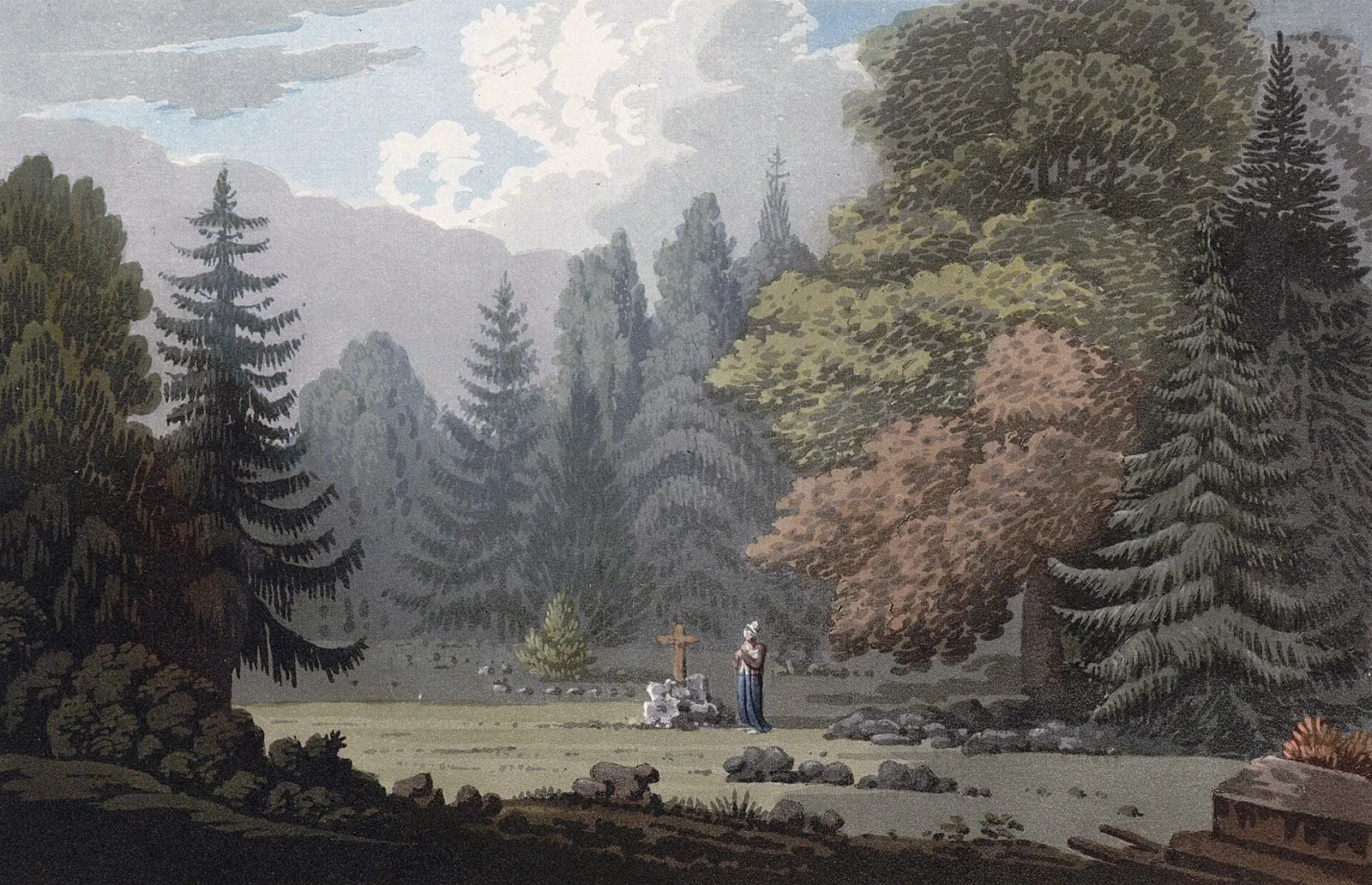
The park is also a history lesson. Fort Walsh and the 1873 Cypress Hills Massacre are part of the story of the North-West Mounted Police and of Indigenous treaty relations on the plains.
Visitors often underestimate how varied the park is. In a single trip you can paddle a lake, walk through spruce forest, stand on a windy prairie lookout and tour a reconstructed fort.
The Alberta side
Head of the Mountain Viewpoint
This lookout marks the highest point of the hills. Allow half an hour to take in the sweep of prairie and sky, and bring a jacket because wind picks up at elevation.
Elkwater Lake and townsite
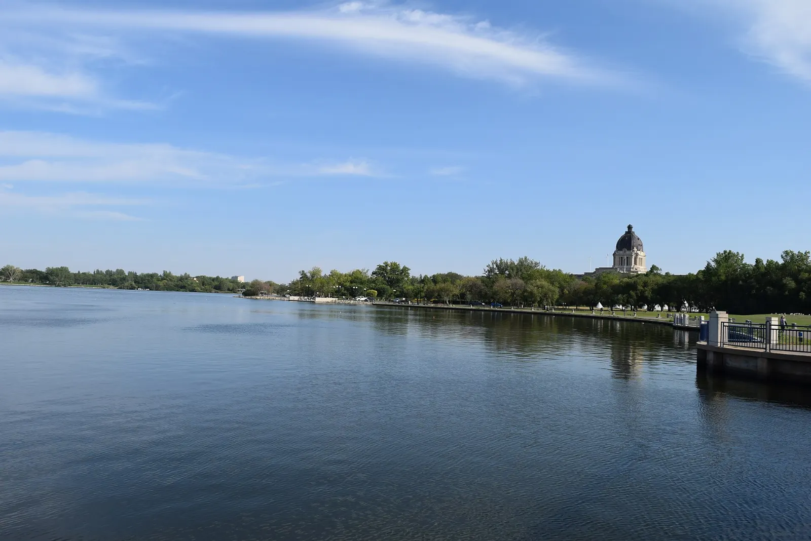
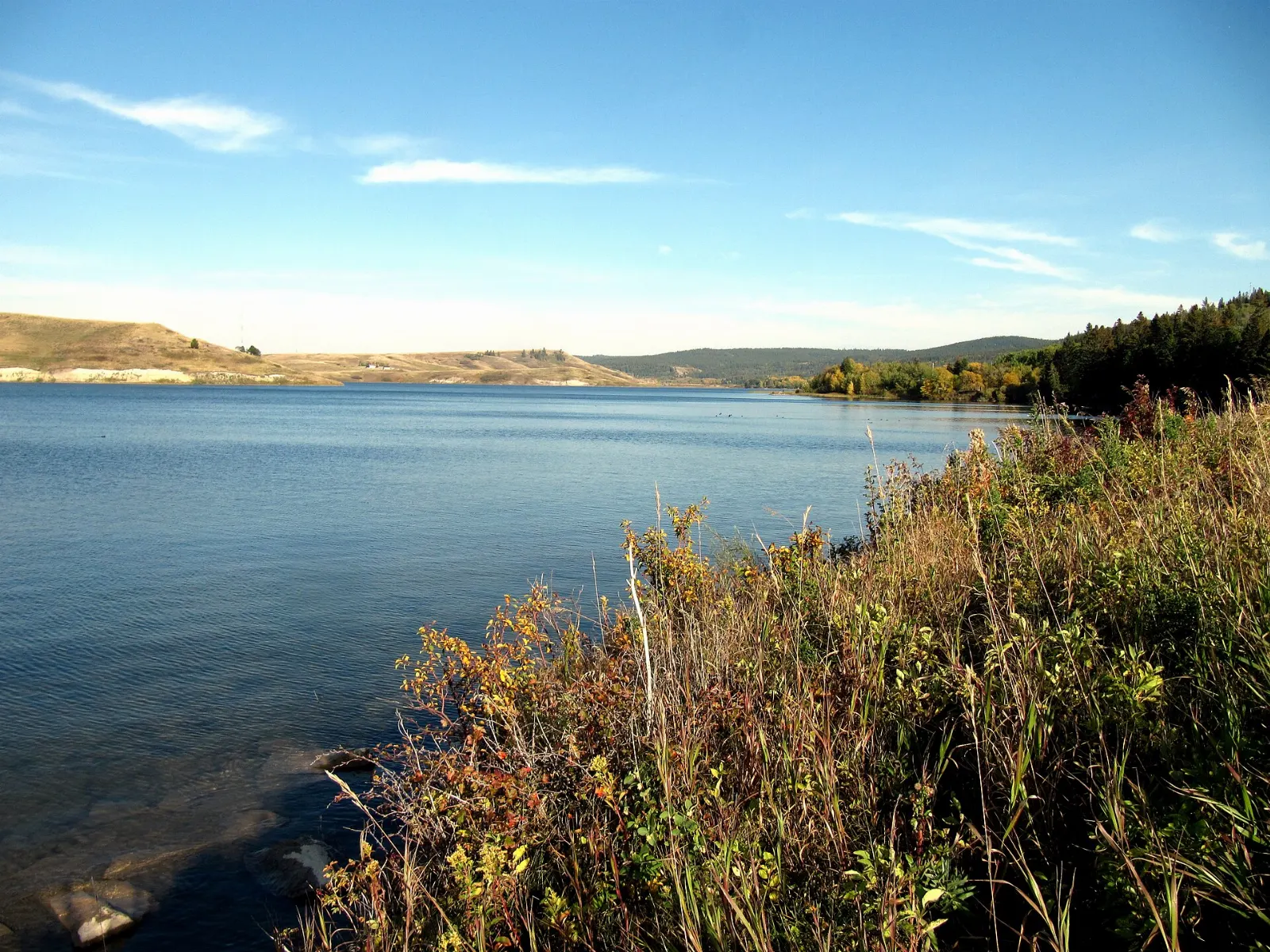
Elkwater is a cottage community on the south shore of Elkwater Lake, at about the same elevation as the Banff townsite. In summer you can rent kayaks, canoes, bicycles and paddle boards, then walk the lakeside paths.
Horseshoe Canyon and Reesor Lake viewpoints
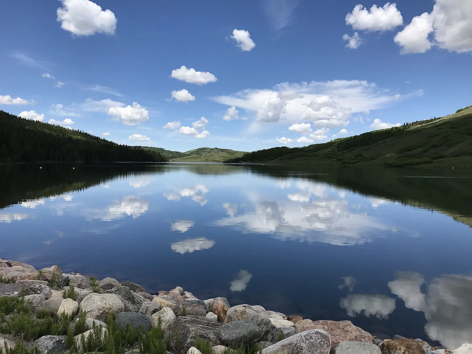
These two lookouts offer views that can reach about 100 kilometres on a clear day. They suit a slow afternoon of photos and short walks, since the Alberta side has over 50 kilometres of hiking and mountain biking trails.
Hidden Valley
Hidden Valley Ski Resort lies just south of Elkwater on Highway 41 and brings the winter crowd. If you do not ski, snowshoes and skates are available to rent.
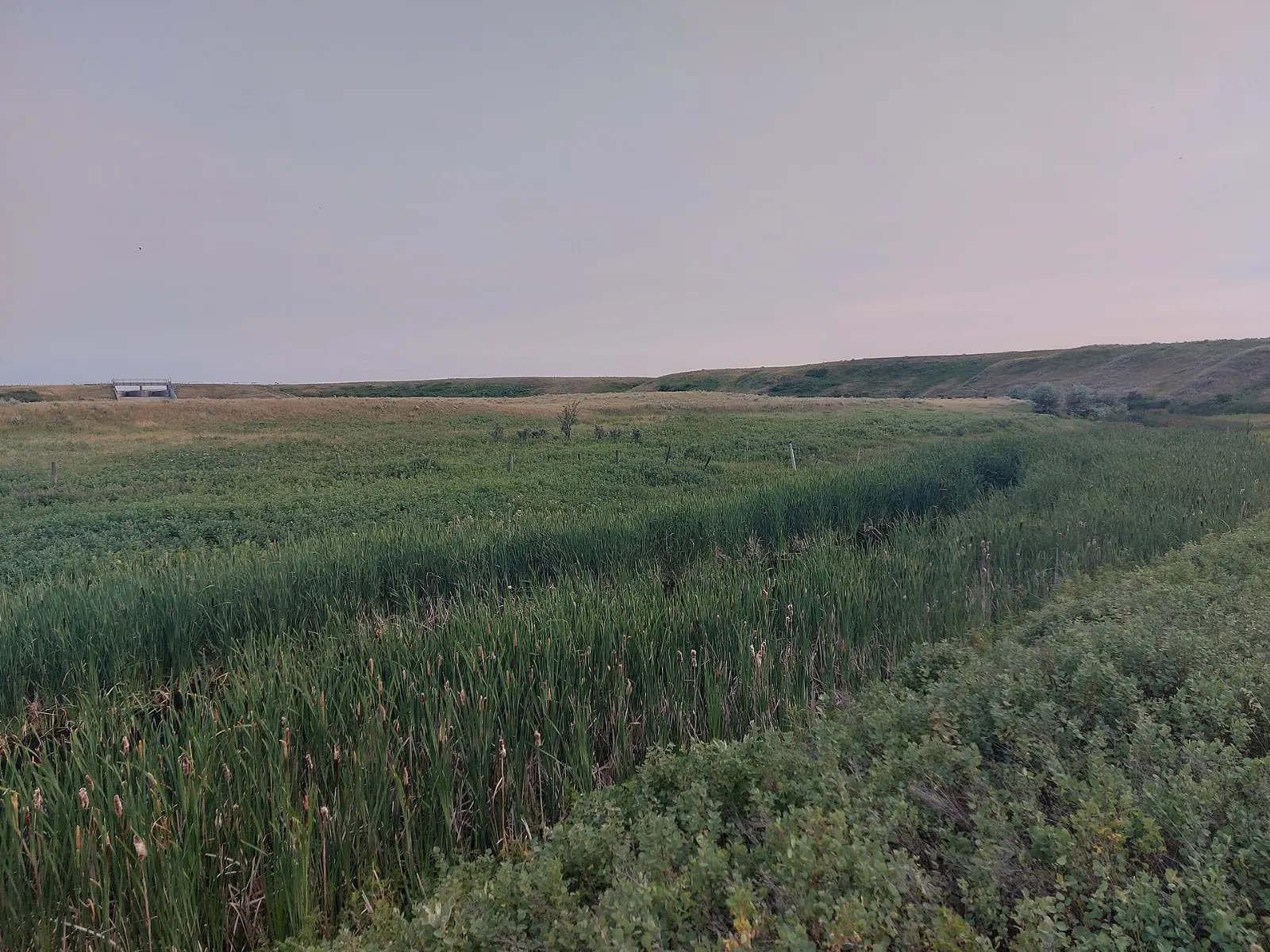
The Saskatchewan blocks
Loch Leven and the Centre Block
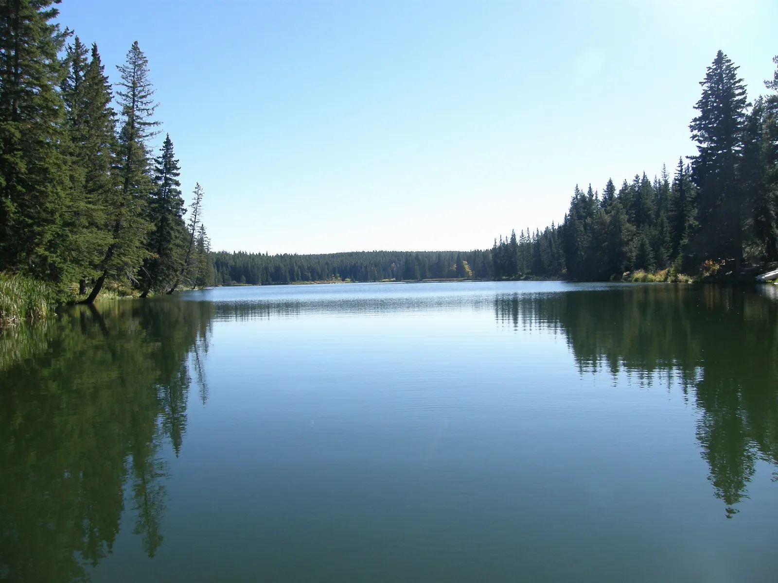
The Centre Block is a 58 square kilometre protected area with year-round facilities, about 30 kilometres south of Maple Creek on Highway 21. Loch Leven has a marina, a swimming pool, a tourist information centre and a restaurant, and nearby lakes include Harris, Adams, Coulee Lake and Loch Lomond.
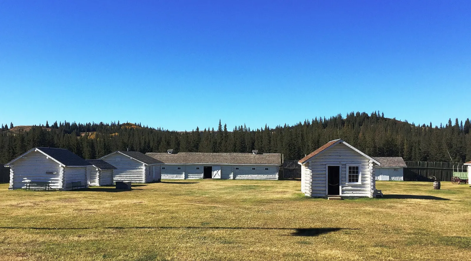
Fort Walsh National Historic Site
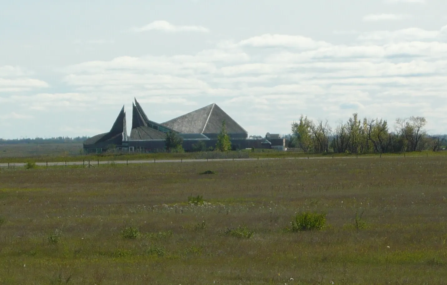
Fort Walsh was built in June 1875 as a North-West Mounted Police post and served as headquarters from 1878 to 1882. Today you can tour the reconstructed buildings, the former townsite, the cemeteries and the whisky trading post.
West Block wilderness
The West Block, about 45 kilometres southwest of Maple Creek on Highway 271, offers rustic camping and horse-friendly campgrounds. It is the quiet side for people who want trails with few amenities.
Night skies and gateway towns
Cypress Hills Observatory
The park became a dark-sky preserve in 2004, and an observatory with a yurt classroom opened in 2011. Plan an evening here during a clear, moonless stretch, and dress warmly, since nights are cool even in summer.
Maple Creek and Cypress Hills Winery
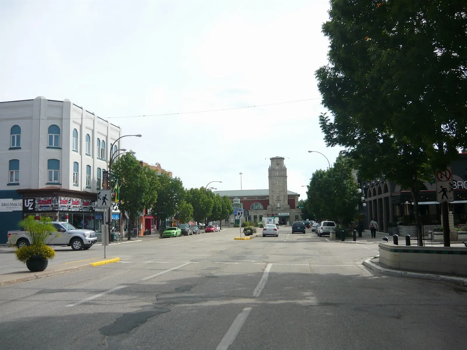
Maple Creek is the main service town on the Saskatchewan side. Nearby, Cypress Hills Winery claims to be the world's northernmost winery and makes fruit wines rather than grape wines.
Wildlife along the trails
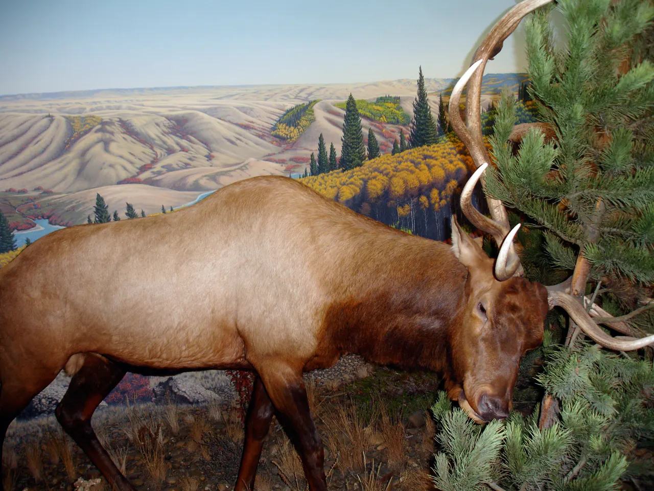
Five species of large hoofed mammals live in the park, including wapiti, moose, mule deer, white-tailed deer and pronghorn. Keep your distance from all animals and livestock, and keep pets on a short leash.
 Planning a trip to Cypress Hills Interprovincial Park?Compare hotels, flights and vacation rentals for Cypress Hills Interprovincial Park on Expedia.Book now
Food and local flavors
Prairie cooking here leans on local fruit. Saskatoon berry pie is a traditional dessert in Saskatchewan, often served with cream or ice cream, and you will find it at cafes and bakeries in the region.
Bannock, a pan-fried bread with deep roots in Indigenous cooking across the Prairies, is worth asking for at cultural events and festivals. Restaurants and cafes operate at Loch Leven, in Elkwater and in Maple Creek, and the Elkwater side also has a general store.
Popular dishes to try in Cypress Hills Interprovincial Park


Where to stay
Your base depends on which block you want to explore.
The Centre Block suits families and first-time visitors, with hotel rooms, cabins and townhouses around Loch Leven plus several campgrounds. Elkwater, on the Alberta side, is best for lake days, summer cabins and ski trips, and it offers a lodge and campgrounds. Maple Creek works as a practical gateway with more conventional services and easier access to Fort Walsh.
Where to stay in Cypress Hills Interprovincial Park


Best time to visit
Summer brings camping, hiking, swimming and paddling, and it is when the grasslands and orchids look their best. Autumn is quieter, with crisp air and wildlife.
The hills get more precipitation than the plains, so pack layers and rain gear in any season. For stargazing, choose a clear night near the new moon.
Getting there and getting around
The nearest airport is at Medicine Hat. The Trans-Canada Highway passes north of the park. For the Centre and West Blocks, take Saskatchewan Highway 21 south to Maple Creek, then continue south on Highway 21 for the Centre Block or southwest on Highway 271 for the West Block.
Each block has its own road access, but travel between blocks is limited. Gravel roads connect them, and these can be rough in winter, so ask locally first. If you want an all-paved route between blocks, you must return to the Trans-Canada.
A suggested itinerary
First day
Arrive via Maple Creek, drive to the Centre Block and spend the afternoon around Loch Leven.
Second day
Head to Fort Walsh for a morning of history, then drive to the West Block for a short hike.
Third day
Cross to the Alberta side by the paved route, visit Head of the Mountain and the Reesor Lake viewpoints, then relax at Elkwater Lake with a paddle or a lakeside picnic before the drive home.
Practical tips
- Cell coverage is limited, so download maps and tell someone your plans.
- Pack layers and rain gear, because weather changes quickly at elevation.
- Carry water, food and a basic survival kit on trails.
- Never approach or feed wildlife or livestock.
- Check the park websites for trail, road and fee updates before you travel.