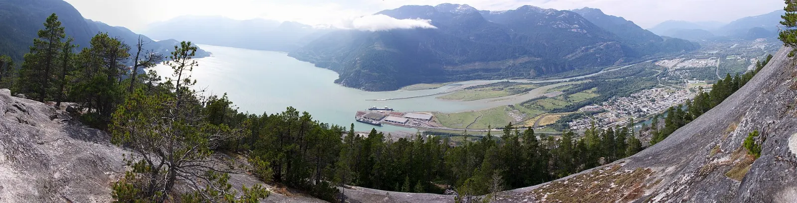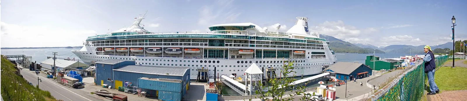
Prince Rupert sits on Kaien Island at the western end of Highway 16, a rain-washed port where Tsimshian heritage, railway history and old canneries meet open water.
AT A GLANCE
Best time
Summer is the mildest and least rainy season, though rain can arrive in any month.
How long
Allow two to three days, or longer with a boat trip or a Haida Gwaii crossing.
Getting there
Fly to the island airport, drive Highway 16, ride VIA Rail from Jasper or take a BC Ferries sailing.
Why visit Prince Rupert
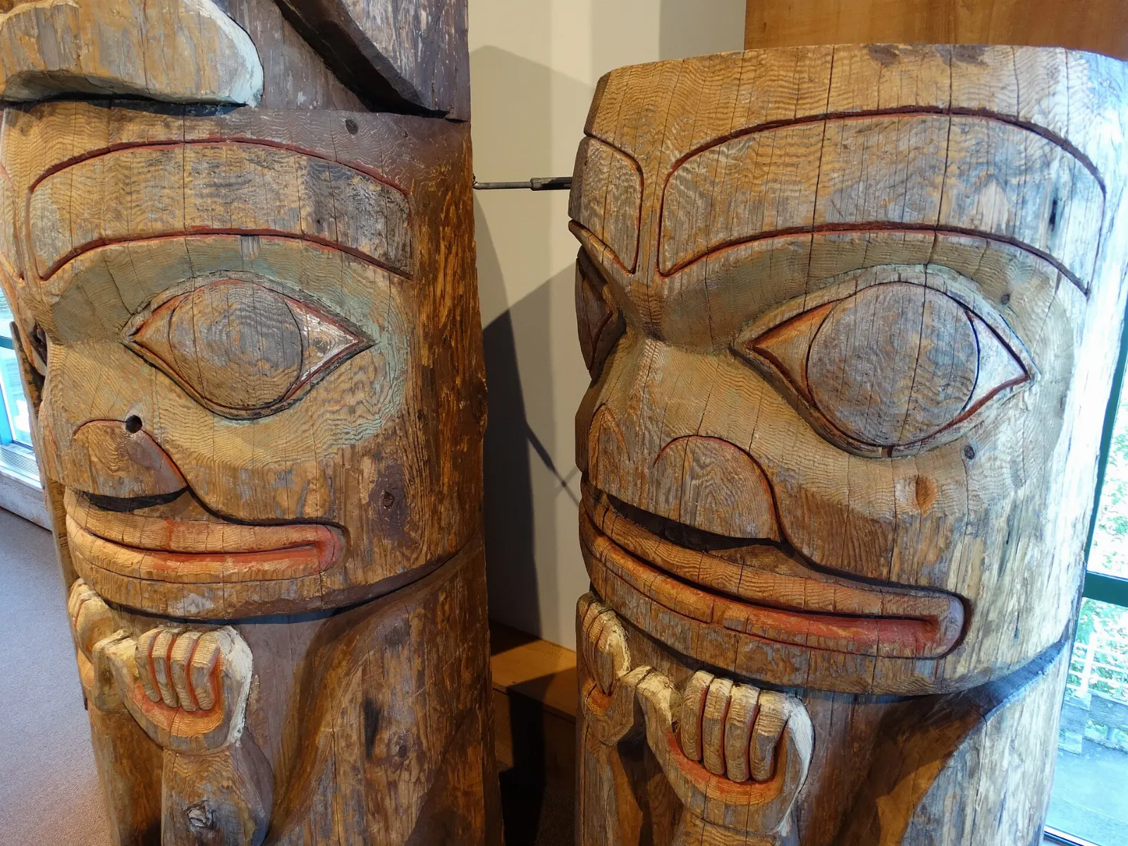
Prince Rupert is a working port on Kaien Island, close to the Alaskan panhandle, and it feels like a place shaped by water. The Coast Tsimshian have lived around the harbour for at least 5,000 years, and about half of today's residents are First Nations, so Indigenous art and history show up everywhere from museum galleries to roadside totem poles.
The modern city arrived with the Grand Trunk Pacific Railway and grew on salmon and halibut. It is Canada's wettest city and is known as the City of Rainbows, so pack a good rain jacket and slow down.
Downtown and Cow Bay
Cow Bay
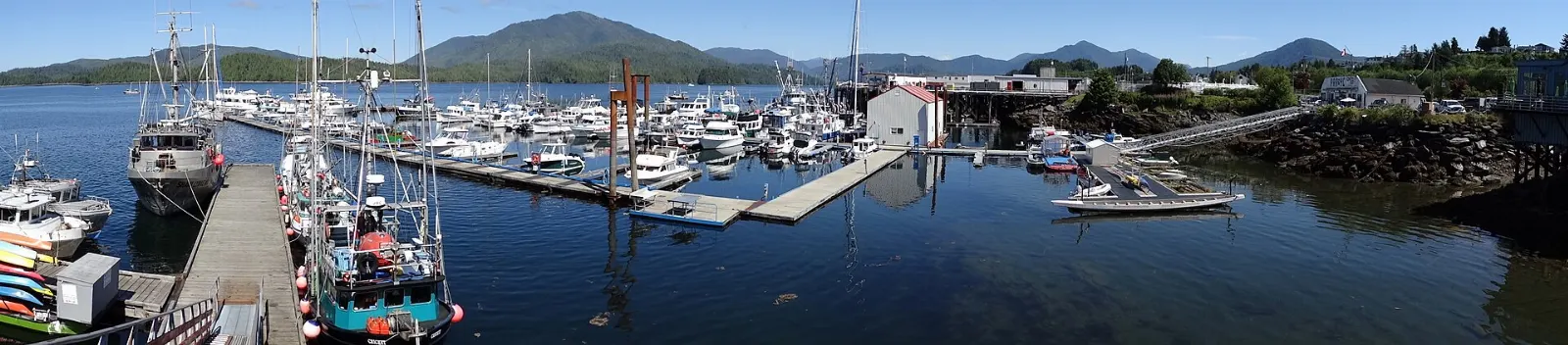
Cow Bay is the small harbour district just below the downtown core, where the cruise terminals, coffee houses and gift shops line the water. Browse the galleries for Indigenous art, then watch the boats from a harbourside seat.
Museum of Northern British Columbia
The museum stands on the waterfront at the foot of McBride Avenue. Its galleries trace thousands of years of Haida, Tsimshian, Tlingit and Nisga'a history, and the museum also runs the nearby Carving Shed.
Kwinitsa Station Railway Museum
Kwinitsa Station sits in Rotary Waterfront Park. Built in 1911, it is one of only four survivors of the 400 identical stations that once lined the Grand Trunk Pacific Railway.
Pacific Mariners Memorial Park
This small park lies between the foot of McBride Street and the Northland Terminal. A bronze mariner statue and memorial walls honour people lost at sea, and a Shinto shrine commemorates the Kazu Maru, a Japanese fishing boat that drifted across the Pacific from Prince Rupert's sister city of Owase.
Sunken Gardens
Sunken Gardens fills the hollow left when the courthouse was moved in the 1920s, tucked behind the courthouse on McBride Avenue. Flowers, shrubs and trees grow in the sheltered pit, making a free stop of ten or fifteen minutes.
Totem poles and the cannery
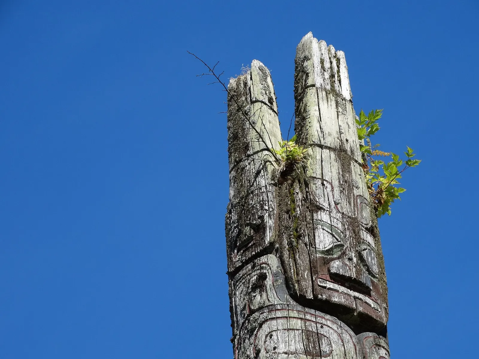
Totem Park
Totem Park on Summit Avenue, on the ocean side of the loop just past the main hospital entrance, is home to many of the city's totem poles. Allow half an hour to walk slowly and read the carvings.
North Pacific Cannery
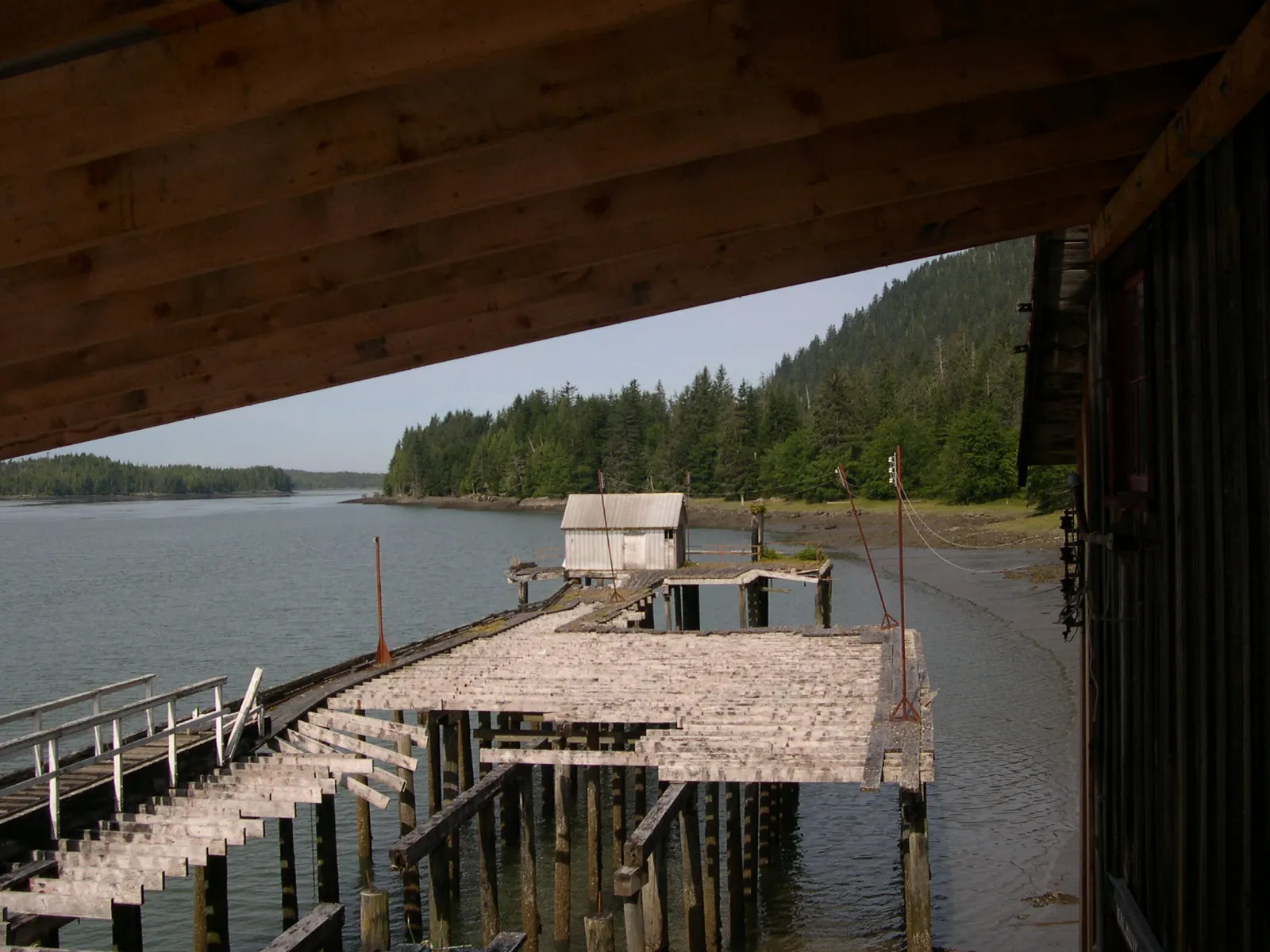
The North Pacific Cannery in Port Edward, about 20 kilometres from downtown, is a national historic site and the oldest, most completely preserved of the roughly two hundred canneries that once dotted the coast. Allow two hours for the buildings and exhibits.
The wild coast and the islands
Khutzeymateen Grizzly Sanctuary
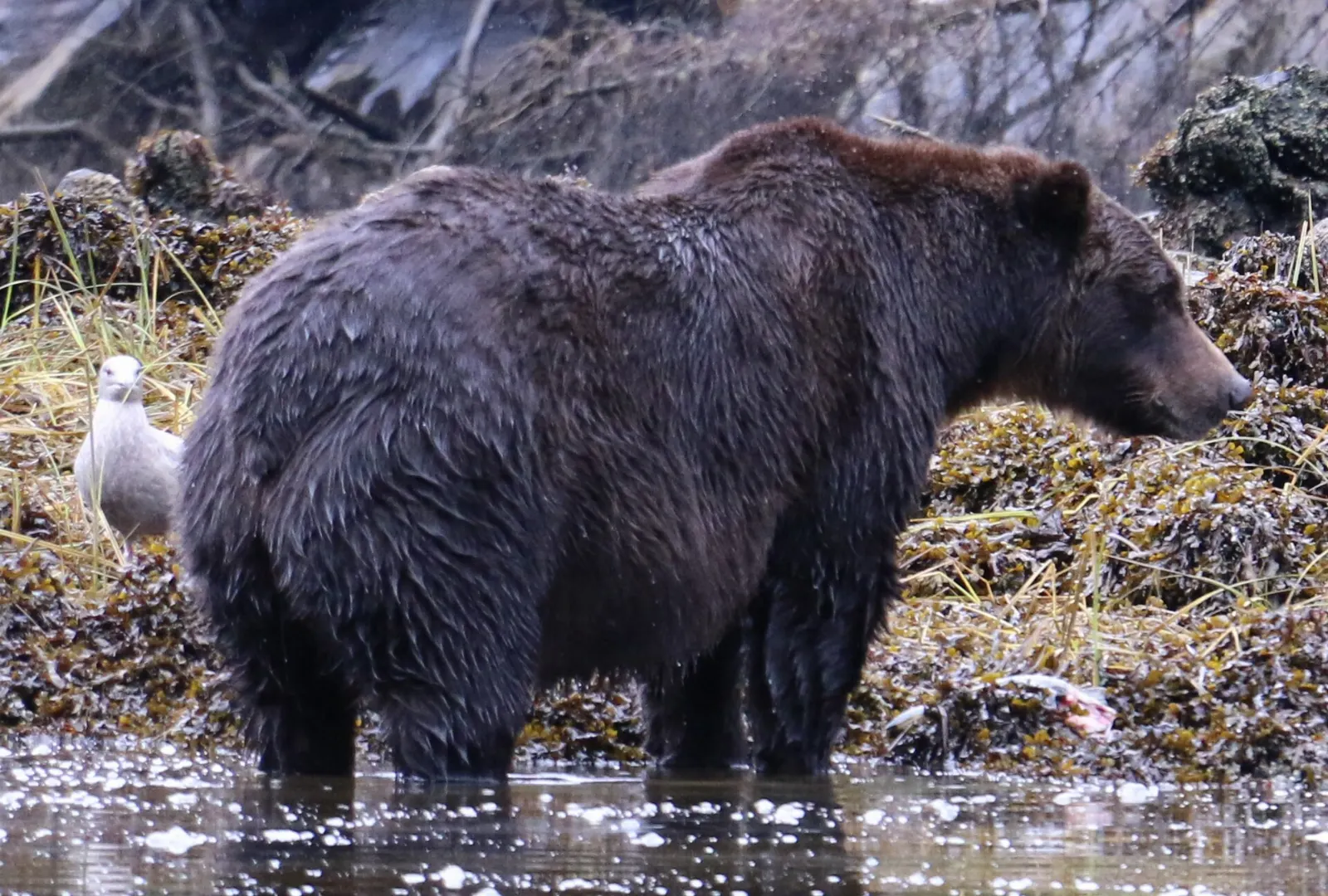
Khutzeymateen, also written K'tzim-A-Deen, lies about 37 kilometres northeast of Prince Rupert. It was created in 1994 to protect grizzly habitat and a very large stand of old-growth Sitka spruce, and it was the first area in Canada set aside specifically for grizzly bears.
Metlakatla
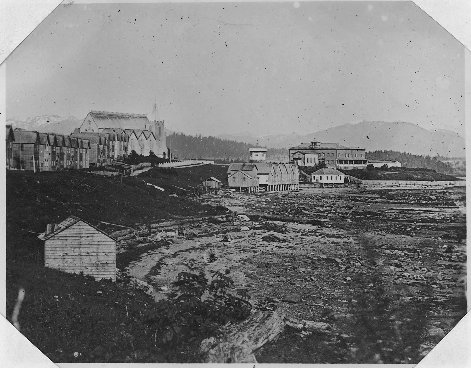
Metlakatla is a Tsimshian village on Metlakatla Pass, close to Prince Rupert. The name means saltwater pass, and the site was a collective winter village for the Nine Tribes of the lower Skeena River.
Haida Gwaii by ferry
Most travellers treat Haida Gwaii as a separate trip. If you are tempted to add it, BC Ferries sails from Prince Rupert to Skidegate on Graham Island in seven to eight hours, and some crossings run overnight.
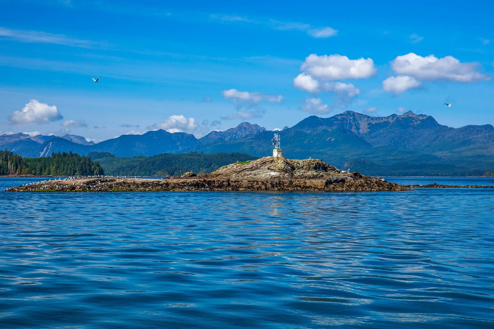
Fishing charters
Fishing is the city's trademark. Local charters head out for salmon, halibut and crab, and catches can be large.
Food and local flavors in Prince Rupert
Seafood defines the table here. Halibut is the signature fish, a nod to the decades when the city called itself the halibut capital of the world, and it is served grilled, baked or battered.
For an easy browse, walk Cow Bay Road, where coffee houses, a pub and small restaurants sit within a short stroll of the cruise docks. Ask your charter captain where the day's catch is sold, and keep room for dessert after a walk along the waterfront.
Popular dishes to try in Prince Rupert


Where to stay in Prince Rupert
Cow Bay suits travellers who want harbour views, cafes and a short walk to the cruise docks and the Visitor Information Centre.
Port Edward, about 16 kilometres west, is a quieter base for anyone focused on the North Pacific Cannery, though you will want a car or a firm grip on the bus schedule. Lodging in town ranges from motels and guesthouses to waterfront hotels.
Where to stay in Prince Rupert


Best time to visit Prince Rupert
Summer is the mildest and comparatively least rainy season, but do not expect heat. Prince Rupert has the coolest summers of Canada's 100 largest cities, with highs averaging around 16 degrees Celsius.
Cruise ships call through the season, so downtown is busier on port days. Check the city and tourism listings for summer events before you book.
Getting there and getting around
Prince Rupert Airport is on Digby Island, so arriving passengers continue by airport shuttle and ferry to town. Allow extra time, and a seaplane base at Seal Cove also serves the city. By road, Highway 16 runs west from Prince George in roughly eight hours, and winter driving needs care.
VIA Rail's daytime train links Jasper and Prince Rupert over two days, with an overnight stop in Prince George. BC Ferries sails from Port Hardy and from Skidegate on Haida Gwaii.
A suggested itinerary
First day
Start at Cow Bay, then visit the Museum of Northern British Columbia and Kwinitsa Station.
Second day
Visit Totem Park in the morning, then travel to the North Pacific Cannery in Port Edward for a long afternoon with the exhibits.
Third day
Book a boat day: a fishing charter, a trip to Khutzeymateen if conditions allow, or a visit to Metlakatla.
Practical tips
- Pack waterproof layers in every season, because the city is known for its rain.
- Check ferry, train and bus schedules early, since services are limited outside summer.
- Book boat tours, fishing charters and ferry crossings well ahead.
- Allow extra time on arrival days for the airport shuttle and ferry from Digby Island.
- Drive Highway 16 with care in winter unless you are used to the conditions.