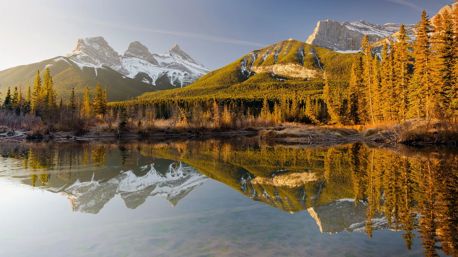
Wells Gray Provincial Park is a huge wilderness of volcanic plateaus, glacier-fed lakes and thundering waterfalls in the Cariboo Mountains of east-central British Columbia.
AT A GLANCE
Best time
Visit from summer to early fall for open trails, or in winter for the ice cone at Helmcken Falls.
How long
One long day covers the main falls, and two days add the lake and trails.
Getting there
Drive north from Clearwater on Highway 5 and the park road, about an hour to Clearwater Lake.
Why visit Wells Gray Provincial Park
The park covers more than 5,000 square kilometres, making it one of the largest provincial parks in British Columbia, and it was created in 1939 and named for Arthur Wellesley Gray, a provincial minister of lands.
It is best known for its waterfalls, which form where rivers drop over lava plateaus and canyon walls, and the most famous of them, Helmcken Falls, is one of the top reasons to come.
The best places to visit for waterfalls
Helmcken Falls
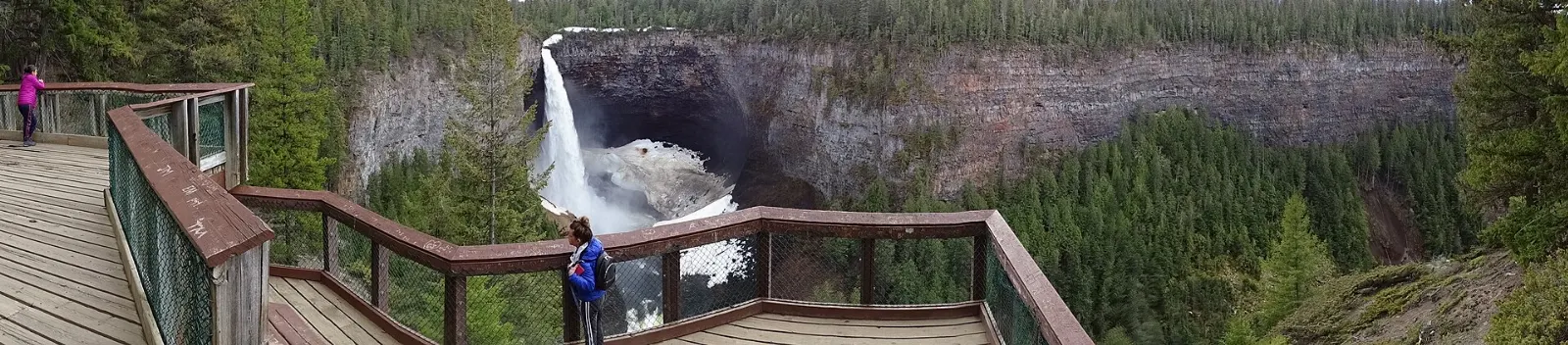
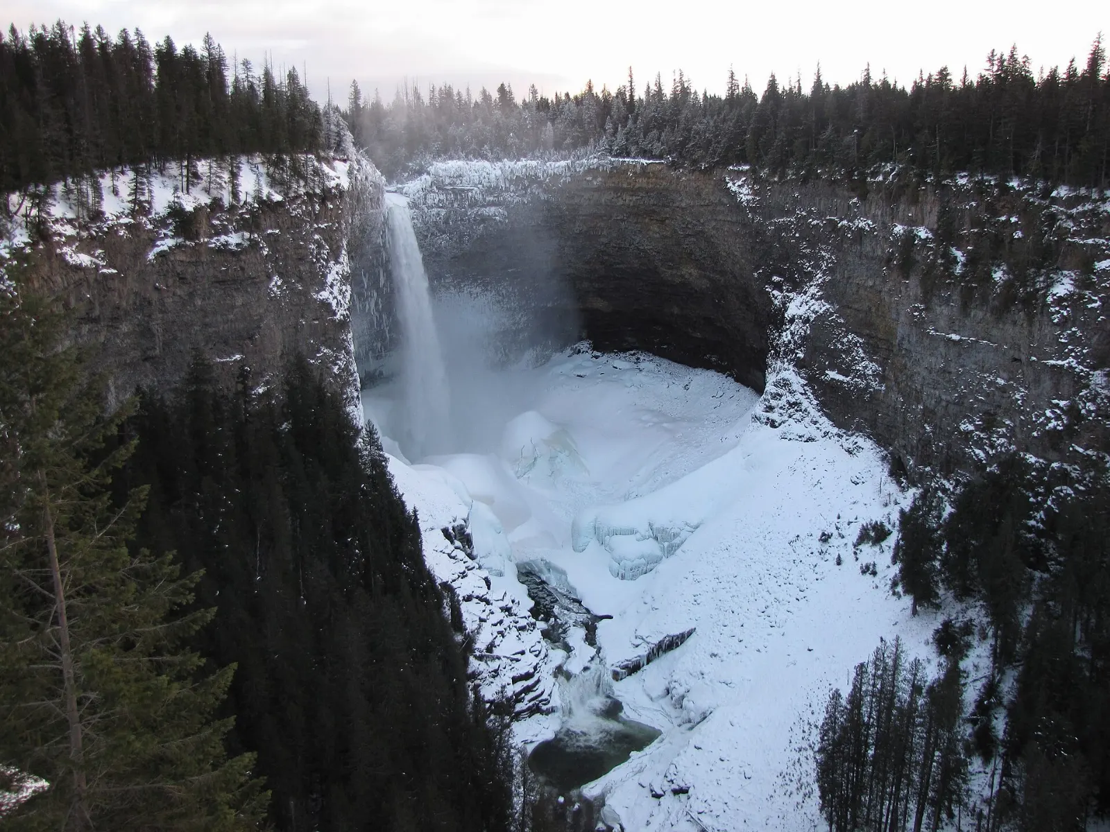
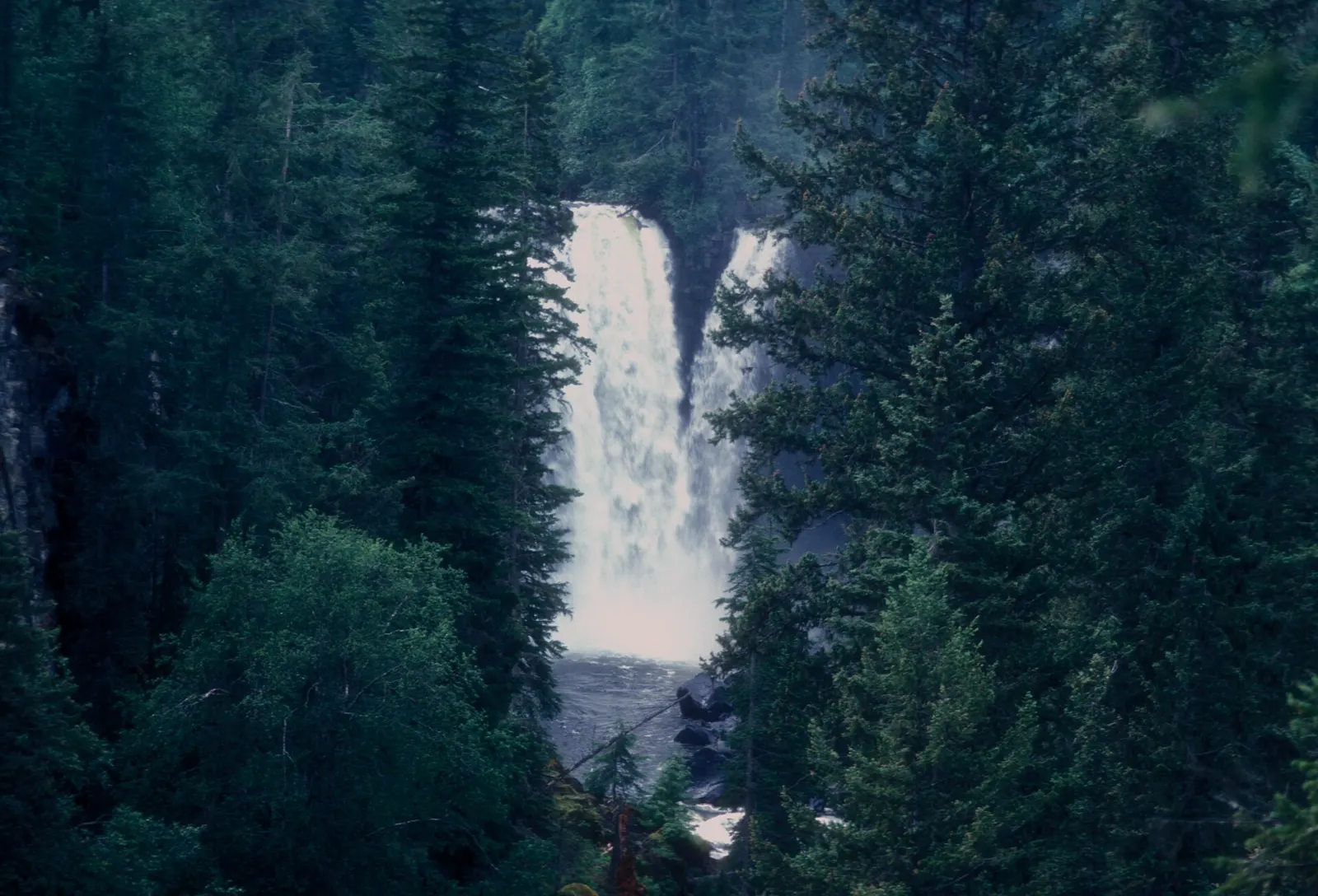
Helmcken Falls drops 141 metres on the Murtle River and is the fourth highest waterfall in Canada. A short paved side road from the main park road leads to a viewing platform on the canyon rim, and you can add the Helmcken Canyon trail for a view along the rim.
Spahats Creek Falls
Spahats Creek Falls is about 11 kilometres north of Clearwater, close to the start of the park road. The waterfall is about 60 metres tall, and it drops into the Granite Canyon of the Clearwater River.
Moul Falls
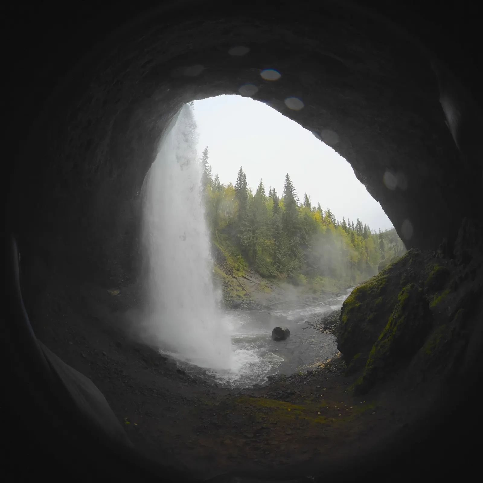
Moul Falls is about 27 kilometres north of Clearwater on Grouse Creek. It is a 35 metre waterfall and one of the park's most popular short hikes.
Dawson Falls and the Mushbowl
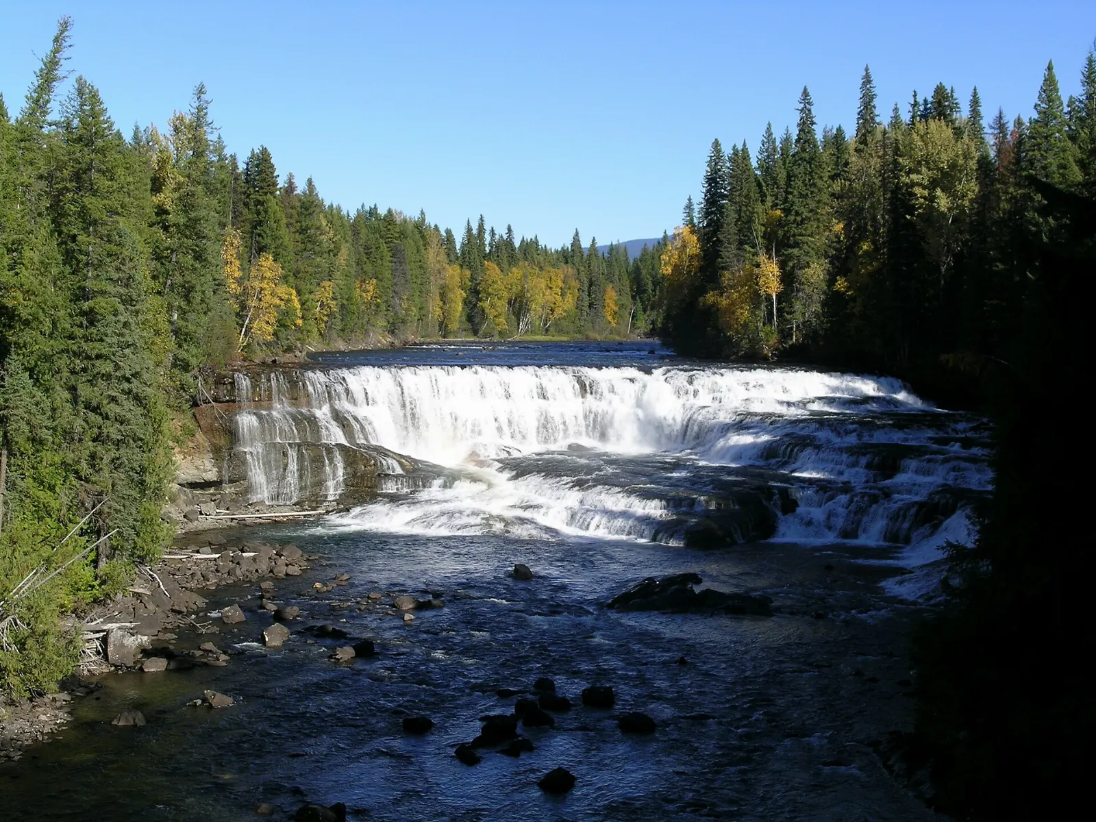
Dawson Falls is about 40 kilometres north of Clearwater, a 20 metre waterfall on the Murtle River a few kilometres upstream of Helmcken Falls. The Mushbowl is another roadside waterfall on the same river.
Walks near Helmcken Falls
A 30 minute walk west from the main viewpoint follows the rim of the canyon to an overlook above the meeting of the Murtle and Clearwater Rivers. A longer trail leads to Gatling Gorge, the narrowest point of the Clearwater River, and takes about an hour and a half each way.
The best places to visit for lakes and wilderness
Clearwater Lake
At the end of Clearwater Valley Road, this lake has boat tours, boat rentals and a public launch, and it lets you reach deeper into the park via Clearwater Lake and Azure Lake.
Mahood Lake
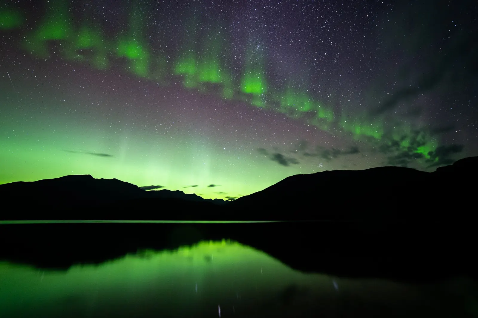
Reached from Highway 24 near Interlakes, Mahood Lake is the only lake in the park that is not glacier fed, so it can warm up enough for swimming.
Canim Falls and Mahood Falls
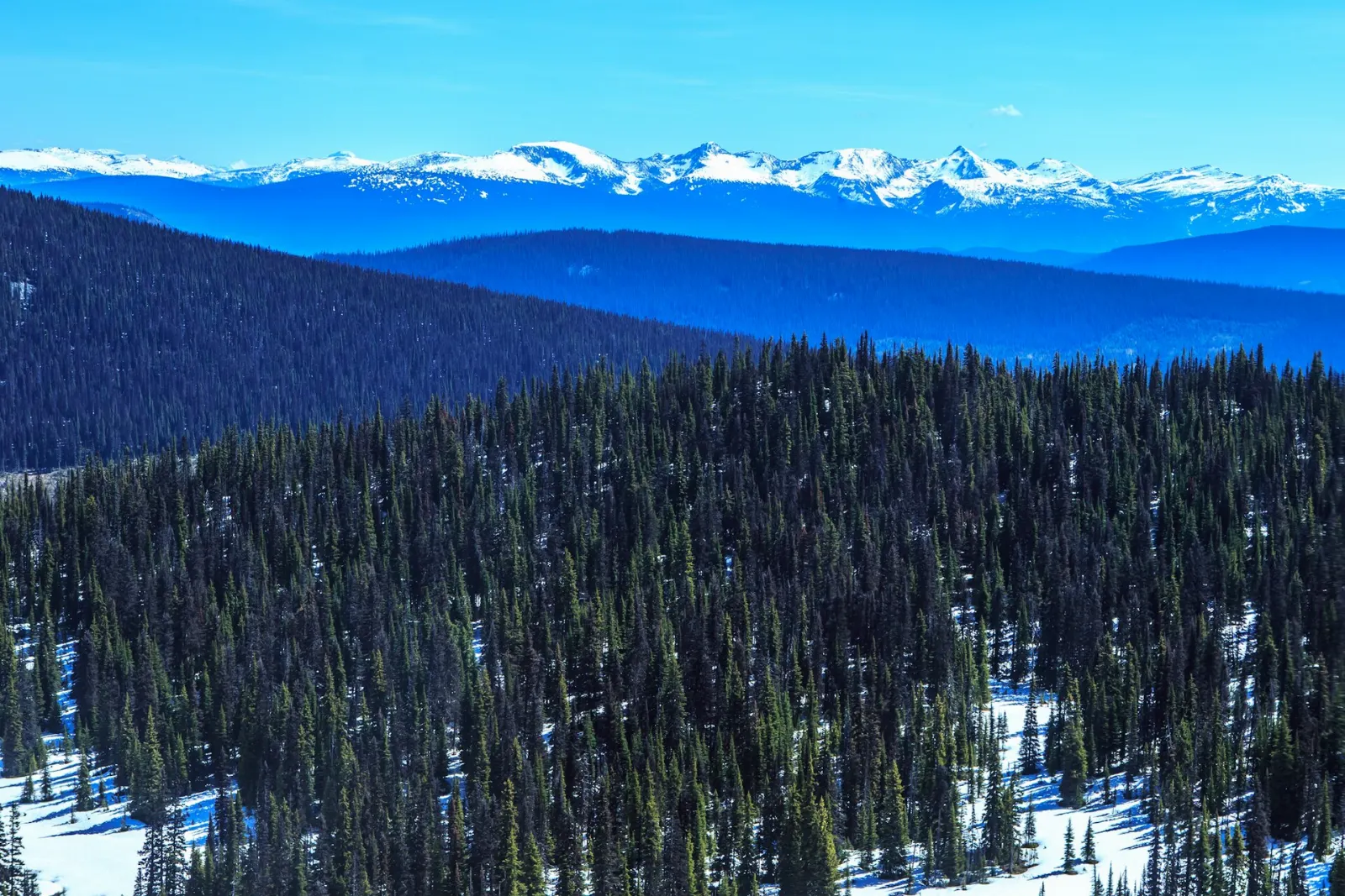
Canim Falls is a 25 metre waterfall on the Canim River between Canim Lake and Mahood Lake, and Mahood Falls is a 20 metre drop on the same river. Both lie along Mahood Lake Road.
Murtle Lake
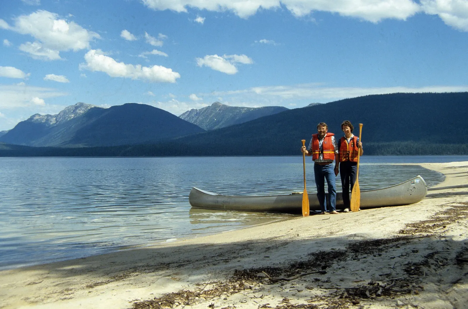
Murtle Lake is the largest paddle-only lake in North America. It is reached from Blue River, and a short trail designed for portaging canoes or kayaks leads from the end of the road to the water.
Trophy Mountain and the viewpoints
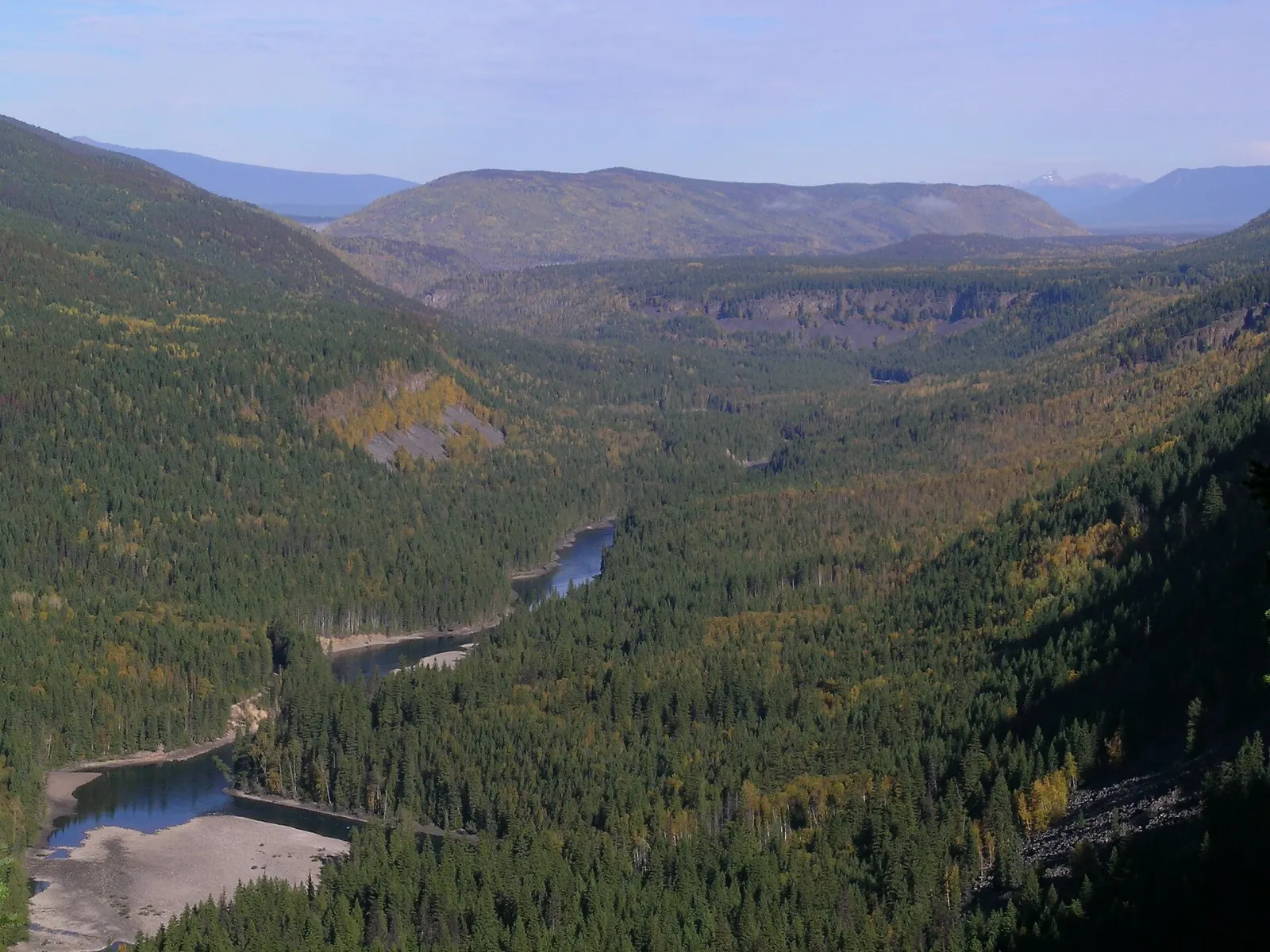
Trophy Mountain and the Clearwater Valley Overlook are among the attractions reached from the main park road.
 Planning a trip to Wells Gray Provincial Park?Compare hotels, flights and vacation rentals for Wells Gray Provincial Park on Expedia.Book now
Food and local flavors
There is a seasonal cafe at Clearwater Lake, but otherwise you need to buy food in Clearwater and carry it with you, so stock up before you head up the valley.
The interior of British Columbia is berry country. Look for huckleberry jam, made from the wild huckleberries that grow on subalpine slopes across western Canada, and saskatoon berry pie, a classic of the Canadian West made from a sweet, nutty berry.
Do not pick and eat berries or mushrooms inside the park, which is both dangerous and illegal. Buy local products in Clearwater instead.
Popular dishes to try in Wells Gray Provincial Park


Where to stay
Clearwater is the main base for Wells Gray. It is the gateway town on Highway 5 and has the widest choice of lodging, shops and restaurants, and it is also where the visitor information centre is.
Clearwater Valley Road, the route north from town, has cabins, guest ranches and other lodging between Clearwater and the park.
Mahood Lake is a quieter destination campground on the western side of the park for families and anglers.
The park has campgrounds at Clearwater Lake, Falls Creek and Pyramid along the main road, and backcountry camping is allowed with registration. Check the BC Parks website for current booking rules.
Where to stay in Wells Gray Provincial Park


Best time to visit
Summer is the main season, with warm days in the mid 20s Celsius, open trails and full access to the lakes. Storms roll through about once a week, and early May and most of June are often rainy.
September through mid October is clear and cool with colorful fall foliage, and it is a lovely time to visit.
A winter visit has one big reward, which is the ice cone at the base of Helmcken Falls. Dress warmly and confirm access with the visitor centre.
Getting there and getting around
Almost all visitors use Clearwater Valley Road, which starts from the Yellowhead Highway (Highway 5) in Clearwater and runs about 68 kilometres north to Clearwater Lake.
Other access points include Mahood Lake Road from Highway 24 at Interlakes, Murtle Lake Road from Blue River, and the rougher Clearwater River Road, where a high-clearance vehicle is recommended.
There is no public transport in the park, so you need a car or an organized tour. Access to British Columbia provincial parks is free, and the Wells Gray visitor information centre in Clearwater has maps and advice from the rangers.
A suggested itinerary
First day
Stop at the visitor centre in Clearwater for a map, then drive north and see Spahats Creek Falls and Moul Falls. Continue to Dawson Falls and the Mushbowl, and end the day at Helmcken Falls for the viewing platform.
Second day
Drive to Clearwater Lake for a boat trip or a paddle, then return along the valley stopping at the overlooks.
Practical tips
- Stock up on food, fuel and water in Clearwater before you drive into the park.
- Do not approach bears, moose or caribou, especially if they have young animals nearby.
- Boil all water from lakes and streams, and do not pick or eat mushrooms or berries.
- Be careful on the trails near cliffs and wet rocks, and keep children and pets close.
- Register your itinerary with park staff before any backcountry trip.