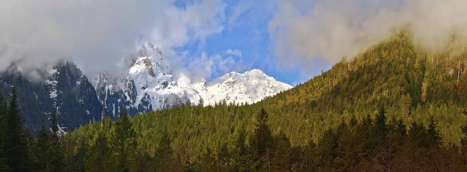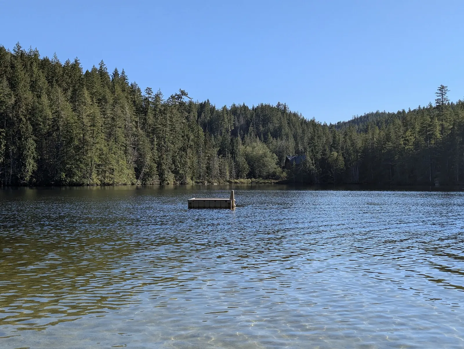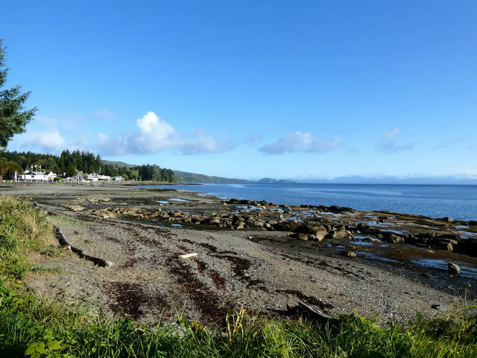
Port Hardy sits at the northern end of the Island Highway on Vancouver Island, where the pavement runs out and the wild coast begins. It is a working harbour town of about 3,900 people, a gateway to Cape Scott, and the southern terminus of the Inside Passage ferry to Prince Rupert.
AT A GLANCE
Best time
Summer from June to September brings the longest days and the most ferry sailings.
How long
Two or three days covers the town and Fort Rupert, and a few more suit Cape Scott.
Getting there
Drive the Island Highway, fly from Vancouver or arrive by ferry from the north.
Why visit Port Hardy
Port Hardy is the place to feel how far north the island really stretches. Humpback whales surface in the bay now and then, bald eagles perch along the shore, and black bears fish for salmon in the Quatse River.
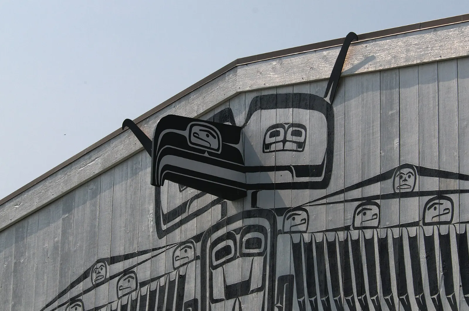
It is also a cultural crossroads. The Kwakiutl people have lived at Fort Rupert for generations, and carved totem poles and painted buildings reward anyone who takes the time to look.
In and around town
Port Hardy Museum
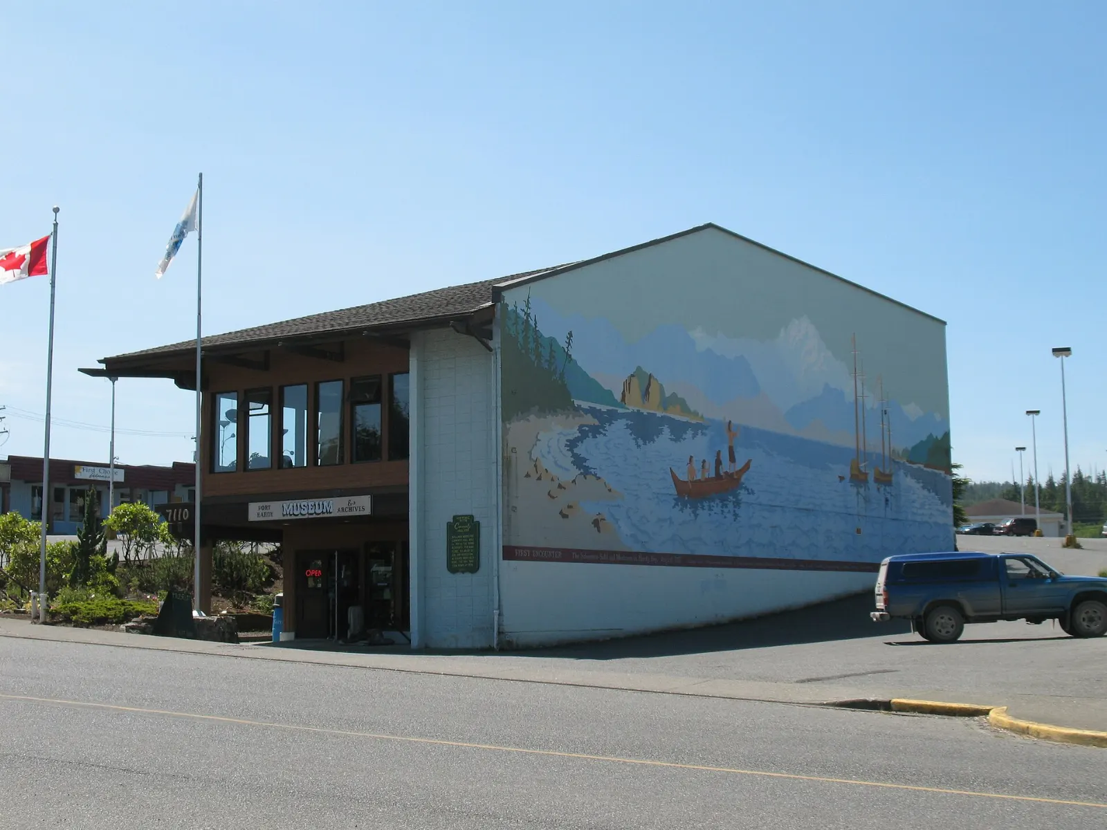
The Port Hardy Museum on Market Street displays First Nations artifacts, some thousands of years old, along with settler belongings, fossils and exhibits on local industry. Allow an hour.
Carrot Park and the Seawall
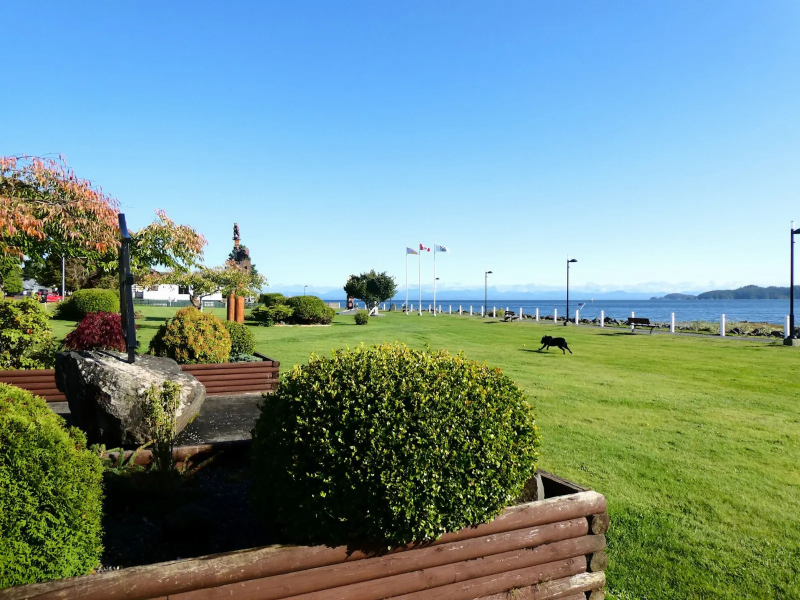
Carrot Park, also called Rotary Park, holds the Port Hardy sign and a totem pole, and it is the setting for the summer Filomi Days celebration of fishing, logging and mining. From there, follow the seawall along the water for an easy walk with views across Hardy Bay.
Quatse Salmon Stewardship Centre
This family-friendly centre on Byng Road teaches how Pacific salmon connect the coastal ecosystem, local First Nations and the community. The interpretive gallery and hands-on displays suit children, and the Quatse River trails nearby are good for watching wildlife.
Fort Rupert
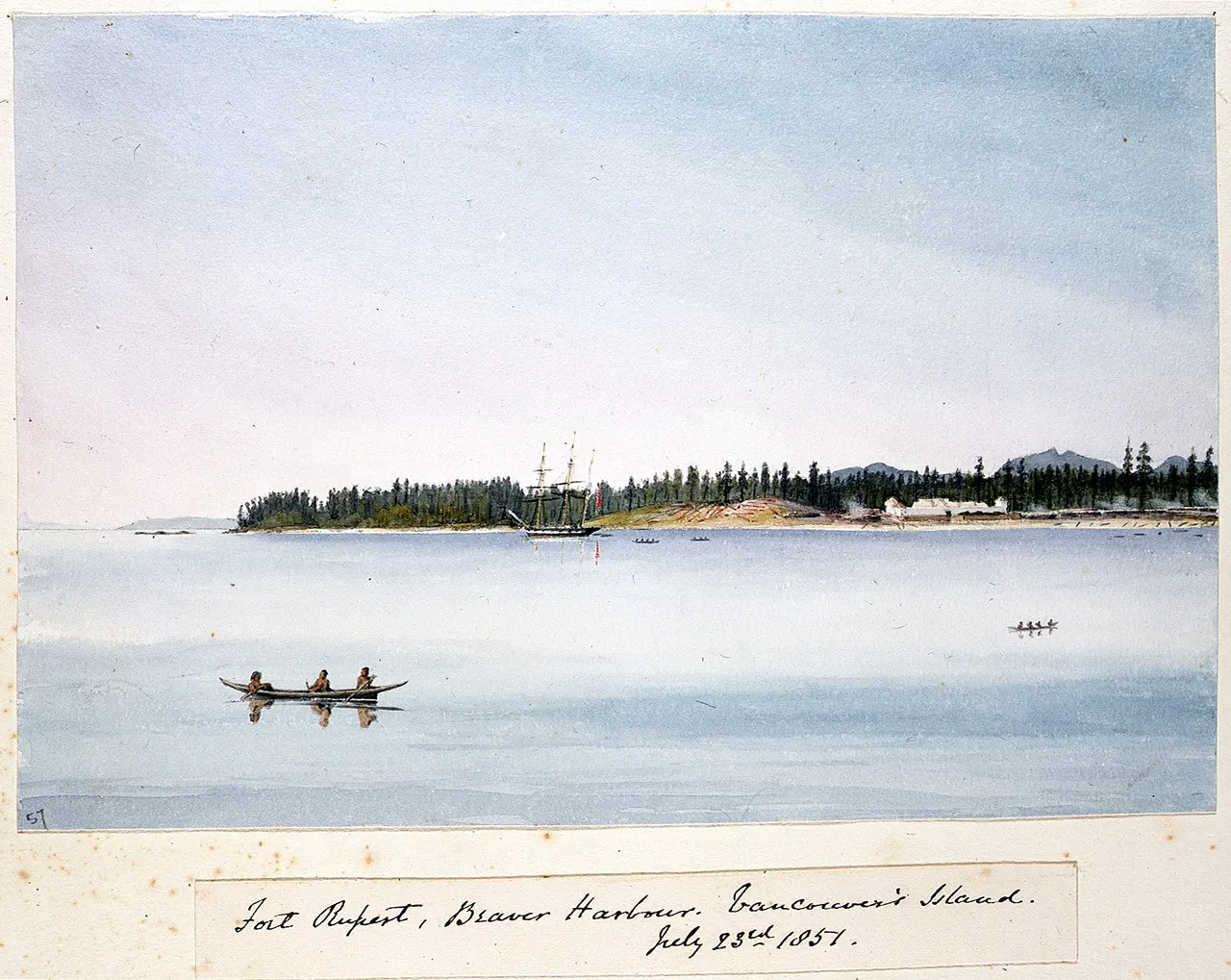
Fort Rupert, known as Tsaxis to the Kwakiutl, lies a short drive east of town.
Storey's Beach and Beaver Harbour Park
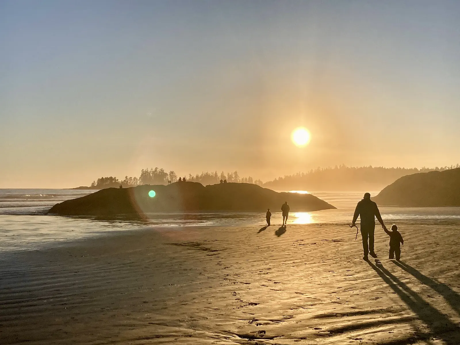
Beaver Harbour Park, also called Storey's Beach, is a rocky beach and one of the best places in the area to watch the sunset. It is also where Tex Lyon's Trail begins, a coastal path of about 7 kilometers heading north toward Dillon Point.
The Copper Maker Gallery
The Copper Maker Gallery is owned by artist and totem pole carver Calvin Hunt, and visitors can often watch work in progress. It is a good place to see how Kwakwaka'wakw art continues today and to bring home a carefully made piece.
Beyond Port Hardy
Cape Scott Provincial Park
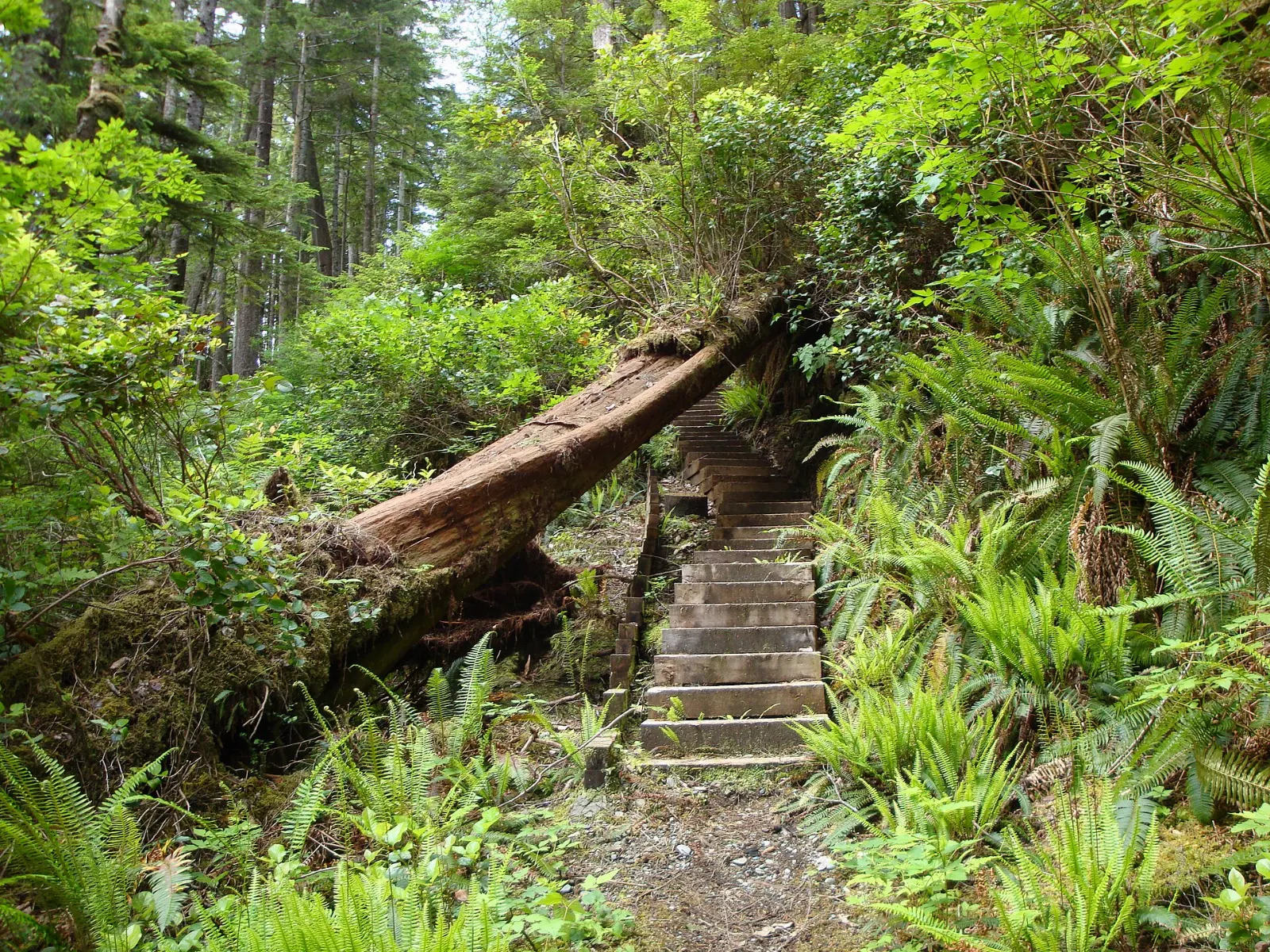
Cape Scott Provincial Park covers the very top of Vancouver Island, from Shushartie west around the cape and south to San Josef Bay. A Danish community tried to settle here in 1897, and collapsed buildings and old farm tools still hide in the forest.
Telegraph Cove and Johnstone Strait
Telegraph Cove, a former milling and cannery village on a boardwalk, has become a launch point for whale watching and kayaking. Orca whales spend the summer months in Johnstone Strait, and tours leave from here.
Alert Bay and the U'mista Cultural Centre
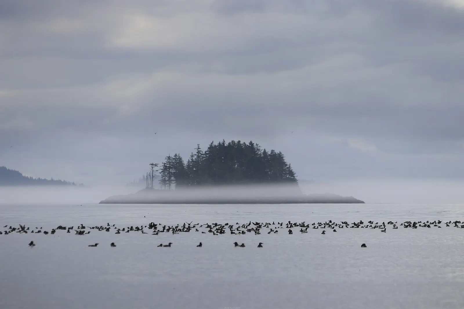
Alert Bay on Cormorant Island is reached by BC Ferries from Port McNeill. The U'mista Cultural Centre houses regalia and masks returned to the Kwakwaka'wakw after being confiscated in 1921 under the Indian Act.
 Planning a trip to Port Hardy?Compare hotels, flights and vacation rentals for Port Hardy on Expedia.Book now
Food and local flavors
Seafood is the point here. Smoked salmon is the local signature, and Hardy Buoys Smoked Fish makes it in many flavors, from maple to garlic, sold in local grocery stores.
For everyday meals, browse Market Street, where cafes serve breakfasts and fresh baking, and a few restaurants cover Chinese, Japanese and pub fare. Ask where the day's catch came from and what is in season.
Popular dishes to try in Port Hardy


Where to stay
Port Hardy has a modest range of lodging, so book ahead in summer. Hardy Bay is the waterfront stretch with inns that look out over the bay and marina, close to the seaplane base and downtown.
Bear Cove is near the ferry terminal and has cottages, a good pick before an early Inside Passage sailing. Byng Road is where the Quatse River campground and several hotels sit, handy for the salmon centre and the airport.
Where to stay in Port Hardy


Best time to visit
Port Hardy has a mild, wet oceanic climate. Summers are cool for the latitude and fairly dry, which makes June to September the most popular window, with more ferry sailings and the visitor centre open daily from May to September. Winters are mild but very rainy. Filomi Days, typically the third weekend in July, brings a parade, dances and fireworks to Rotary Park.
Getting there and getting around
By road, follow Highway 19, the Island Highway, to its northern end. From Nanaimo it is about 385 kilometers and roughly four hours of driving, and from Victoria it is about 500 kilometers. IslandLink Bus connects the town with Campbell River, Courtenay, Nanaimo and Victoria.
BC Ferries sails from the Bear Cove terminal to Prince Rupert through the Inside Passage, with stops at Klemtu or Bella Bella on some sailings. A summer-only route links Bella Coola.
A suggested itinerary
First day
Start at the Port Hardy Museum and the seawall, then visit the Quatse Salmon Stewardship Centre.
Second day
Visit Fort Rupert in the morning, then drive south to Port McNeill for the ferry to Alert Bay and the U'mista Cultural Centre.
Third day
Go to Telegraph Cove for a whale watching or kayak tour, or take on a day hike toward Cape Scott if the weather and trail conditions suit you.
Practical tips
- Reserve BC Ferries sailings to Prince Rupert and Bella Coola well ahead in summer.
- Be bear aware near the Quatse River and in any campground.
- Pack rain gear in every season, since the weather changes quickly on this coast.
- Check Cape Scott trail conditions and tide tables before hiking.
- Treat Fort Rupert as a living community and ask before photographing people.