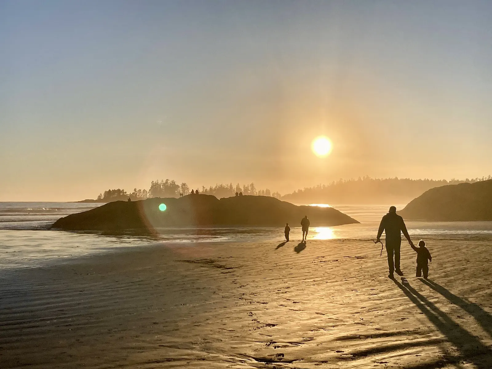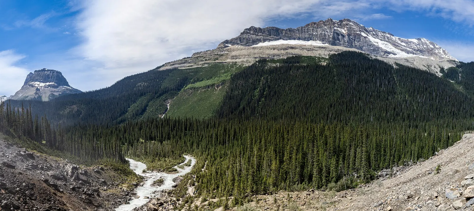
Yoho National Park sits on the western side of the Continental Divide in British Columbia, and it is the smallest of the four neighbouring Rocky Mountain parks. The name comes from a Cree expression of awe and wonder, which suits the waterfalls, glacier-fed lakes and sheer rock walls packed into a small area.
AT A GLANCE
Best time
Late June to September gives open roads and trails, while winter suits skiing and ice climbing.
How long
Allow two to three days to cover the main lakes, falls and viewpoints.
Getting there
Drive the Trans-Canada Highway from Lake Louise or Golden, since public transport does not stop in the park.
Why visit Yoho National Park
Yoho packs a lot into a modest footprint. Waterfalls, an alpine lake accessed by a limited bus, a world-famous fossil site and railway history all sit within a short drive of one another along the Trans-Canada Highway.
Yoho is also quieter than its famous neighbours, so you can often find a viewpoint to yourself, especially early in the day.
Field and the Kicking Horse valley
Field
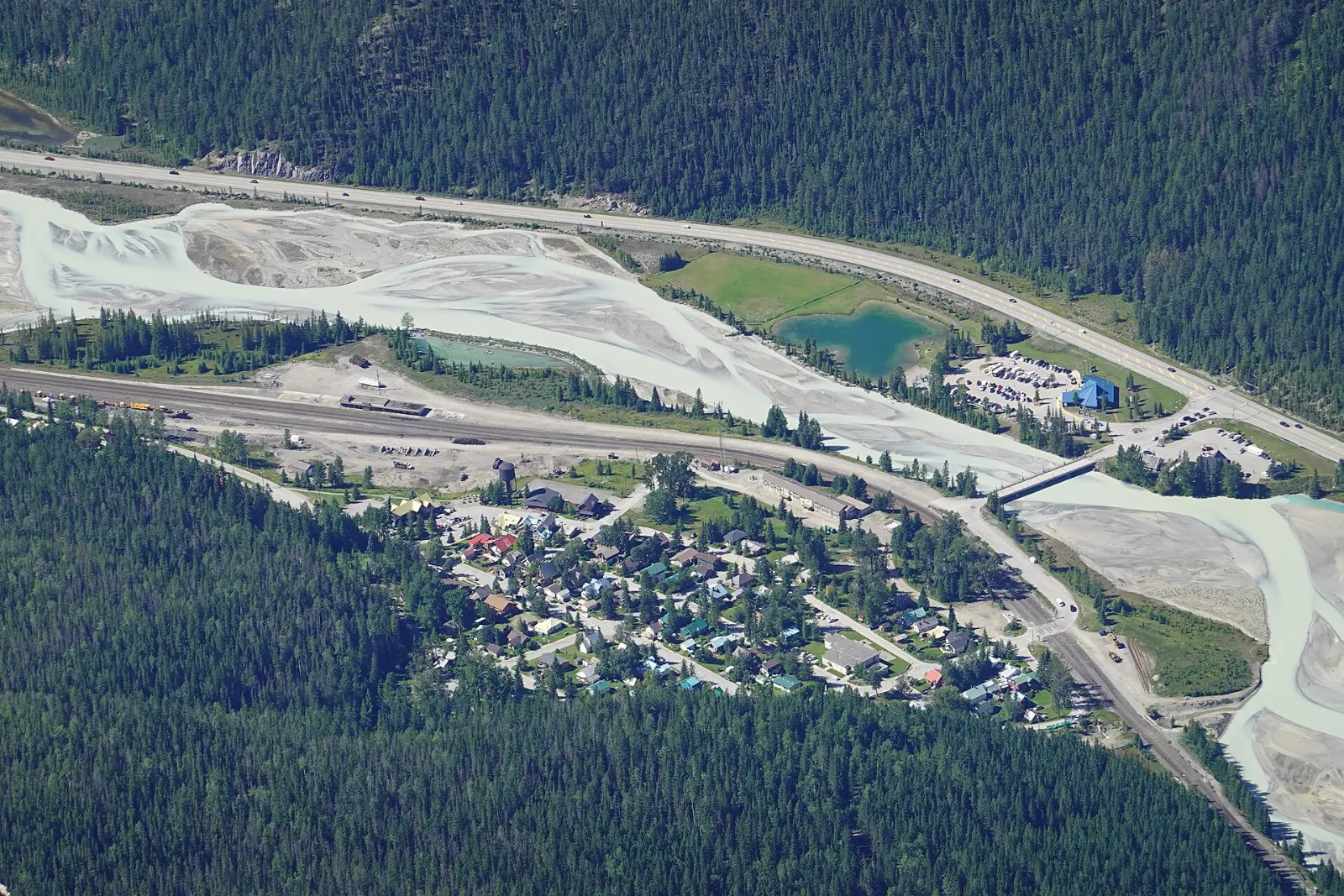
Field is the small village that serves as the park base, with the visitor centre and most food outlets in the park.
Spiral Tunnels viewpoints
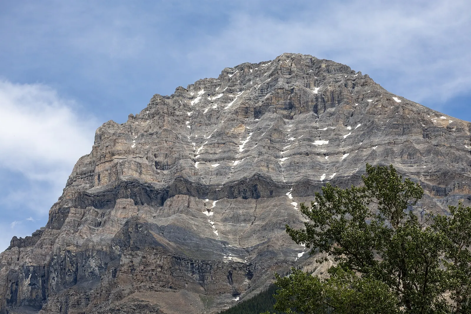
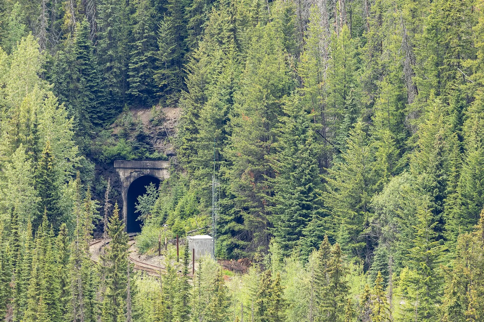
About 8 kilometres east of Field, the viewpoints show how the railway climbs through the Kicking Horse valley using two spiral tunnels built in 1909 to replace a very steep grade. A long freight train can be seen entering and leaving the tunnels at the same time.
Kicking Horse Pass
Kicking Horse Pass is a National Historic Site that carries the railway and the highway across the divide. The river and pass take their name from an 1858 incident in which explorer James Hector was kicked by his packhorse.
Natural Bridge
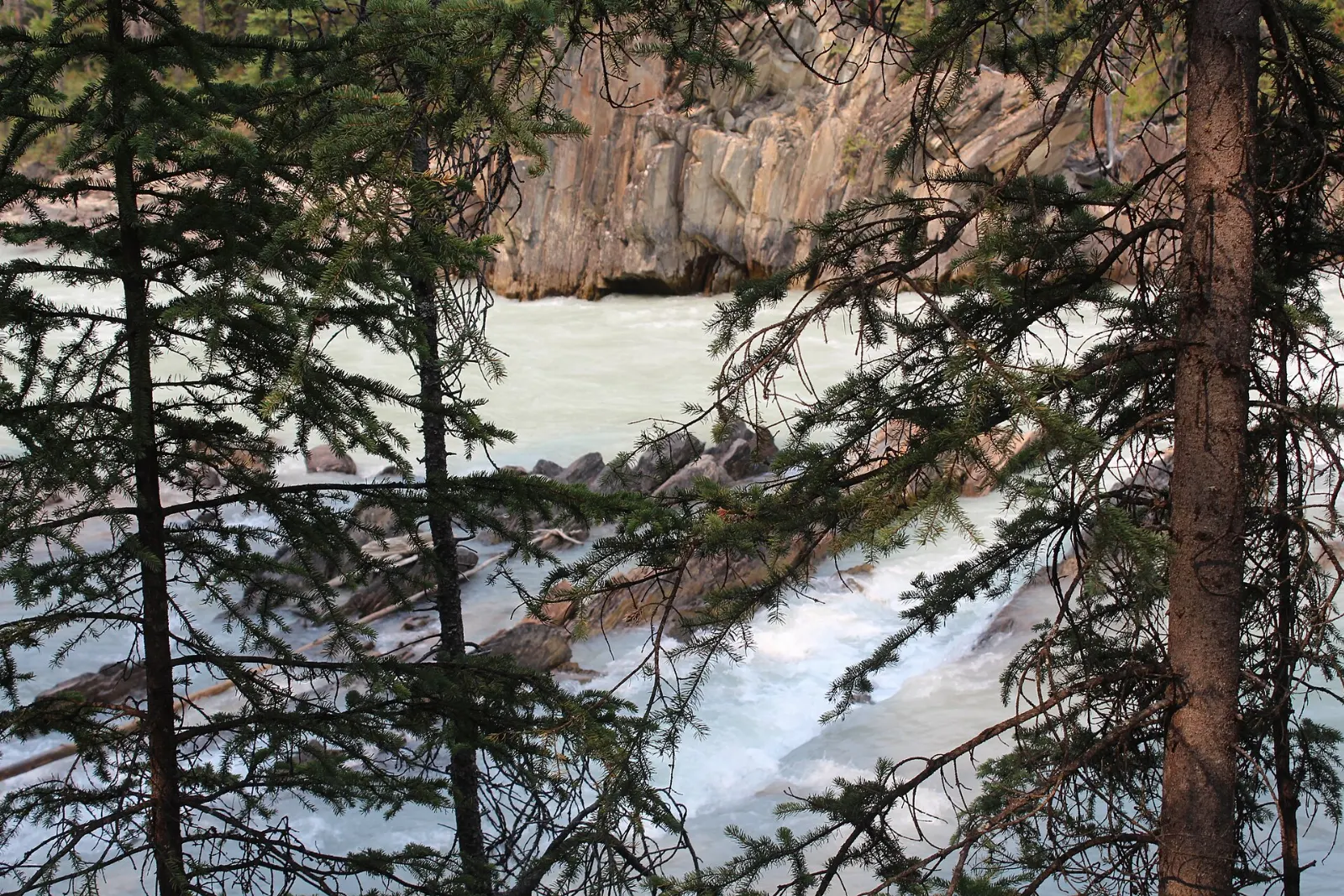
A short drive from Field, the Natural Bridge is a rock span carved by the Kicking Horse River. The water funnels through a narrow gap, so stay well back from the edge.
Wapta Falls
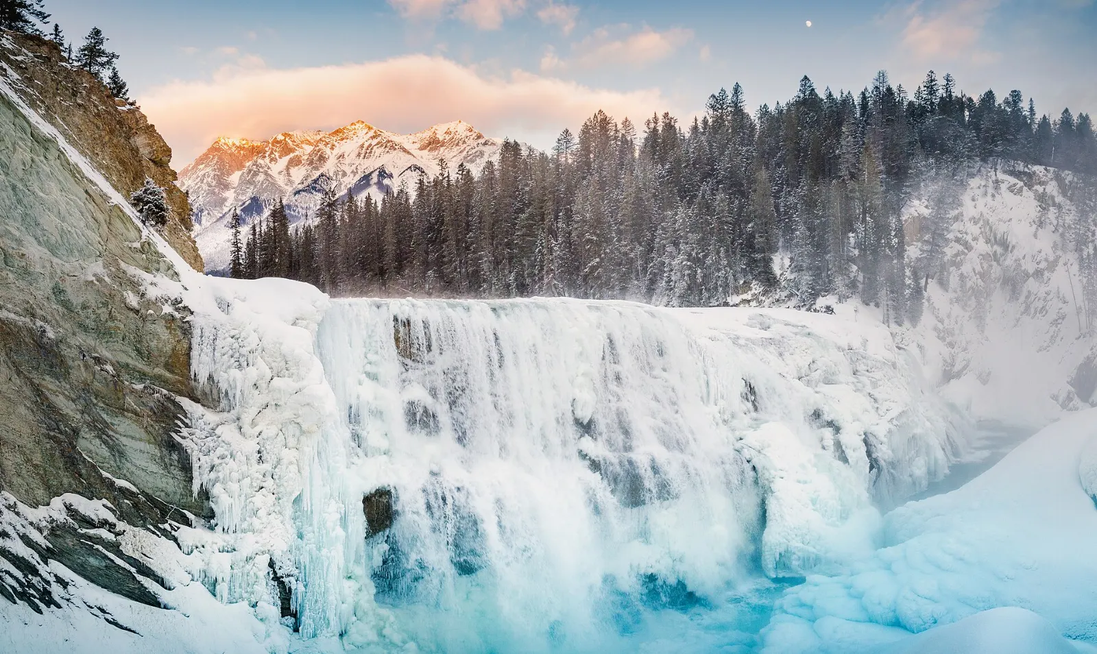
Wapta Falls is the largest waterfall on the Kicking Horse River, about 18 metres high and 107 metres wide. Its name comes from a Nakoda word meaning river.
Lakes and waterfalls
Emerald Lake
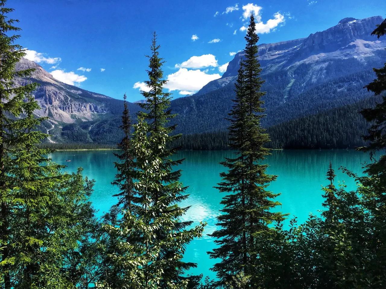
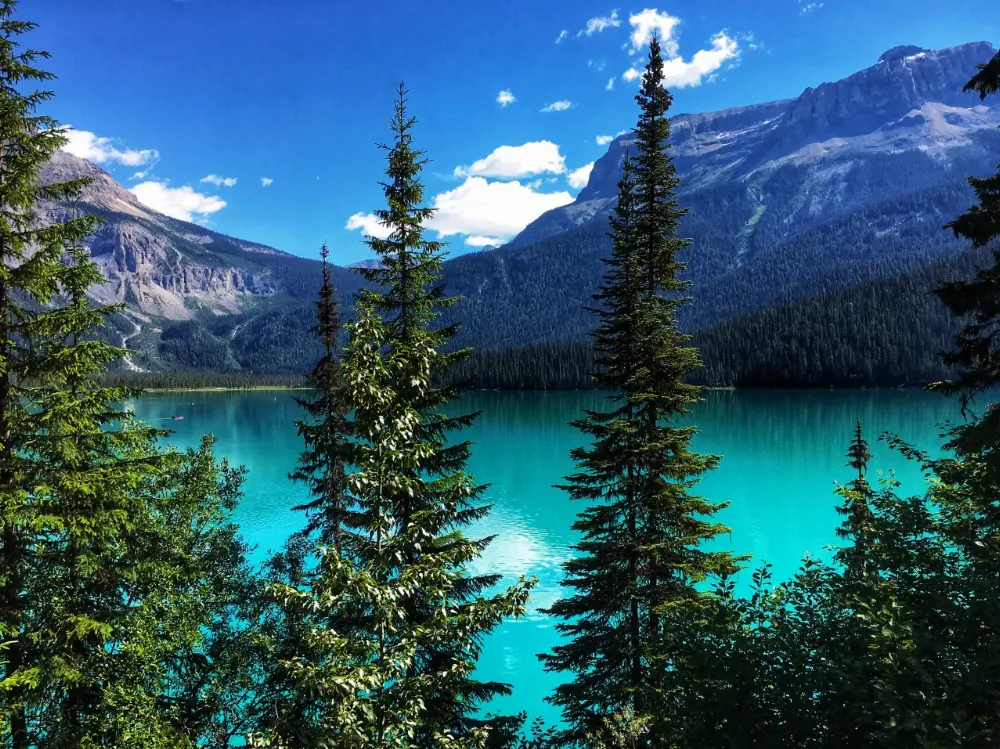
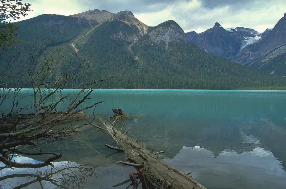
A paved road of about 9 kilometres leads from the highway to Emerald Lake, a glacier-fed lake ringed by the President Range. A trail of about 5 kilometres circles the shore and suits most visitors.
Takakkaw Falls
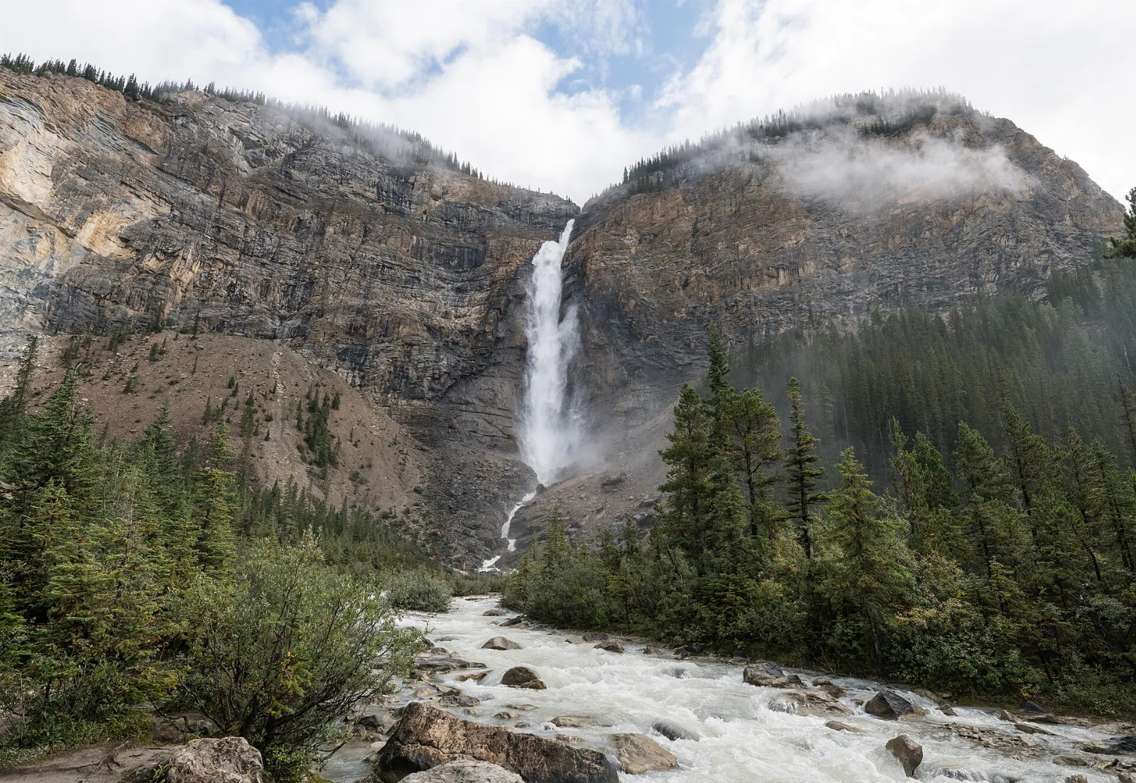
At the end of the Yoho Valley Road, Takakkaw Falls drops about 254 metres in its main fall, and the total height is quoted as high as 373 metres. Takakkaw means it is magnificent in Cree.
Lake O'Hara
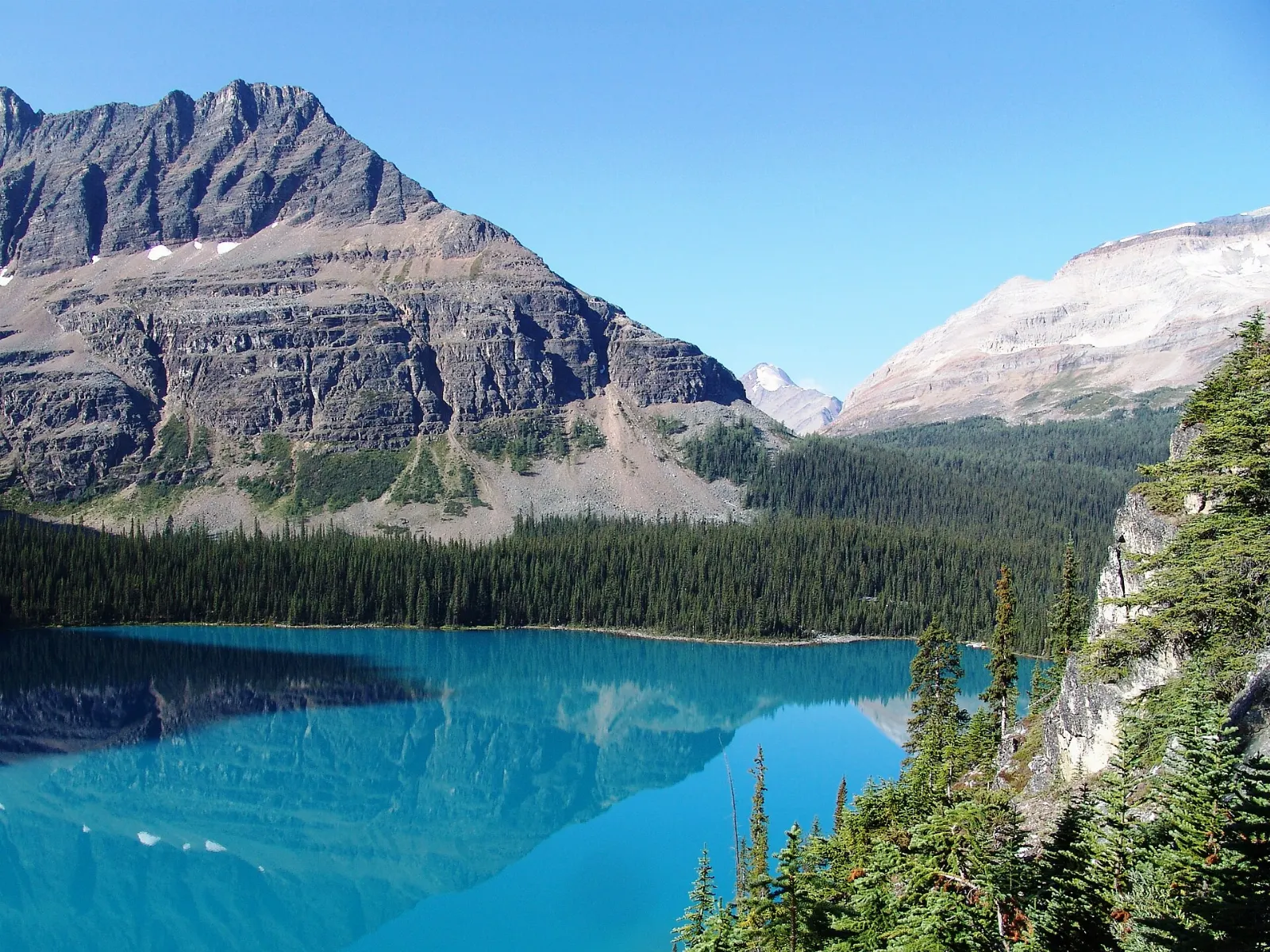
Lake O'Hara lies at about 2,000 metres in the alpine zone, with trails to Lake Oesa and Opabin Lake. Visitor numbers are limited, access is by a Parks Canada bus or an 11 kilometre walk along the road, and reservations are required for the campground.
Fossils and peaks
Burgess Shale
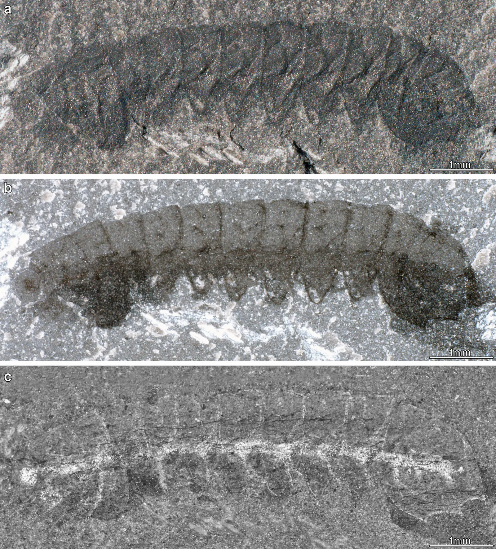
The Burgess Shale, about 505 million years old, preserves the soft parts of ancient marine animals in remarkable detail. Charles Walcott found the main quarry in 1909.
Mount Stephen
Mount Stephen towers over Field at 3,199 metres and was named in 1886 for the first president of the Canadian Pacific Railway. The first fossils of the Burgess Shale were found on its slopes by railway workers.
 Planning a trip to Yoho National Park?Compare hotels, flights and vacation rentals for Yoho National Park on Expedia.Book now
Food and local flavors
Options in the park are concentrated in Field, with more choice at Lake Louise and in Golden. Expect hearty mountain fare. A bison burger is the classic order, lean and slightly sweet compared with beef.
The few cafes and dining rooms in Field and at Emerald Lake are small, so reserve ahead in the busy months. Carry snacks for the trails, because services away from the village are minimal.
Popular dishes to try in Yoho National Park


Where to stay
Field is the main base inside the park, with a small number of guest homes, bed and breakfasts and a hotel on the Trans-Canada Highway.
Emerald Lake has a timber lodge beside the water, which suits travellers who want a quiet evening shoreline walk after the day-trippers leave.
Lake Louise to the east is a convenient base if you want to see Yoho and Banff on the same trip.
Camping is also available, with four campgrounds in the park, and a hostel near Takakkaw Falls in summer.
Where to stay in Yoho National Park
Best time to visit
Late June to September is the most popular window, with open roads, lakes free of ice and mild days. Summer highs average around 20 degrees Celsius, but snow is possible above about 1,500 metres.
July and August are the busiest months, and Canada Day on 1 July draws crowds. Winter is cold, with ice climbing, cross-country skiing and backcountry touring, and some viewpoints and roads close from October to April.
Getting there and getting around
The Trans-Canada Highway runs through the park, so a car is the practical choice. Calgary is about two and a half hours east, Vancouver about ten hours west, and Lake Louise about 27 kilometres from Field. Golden lies to the west.
Inside the park there is no public transport, apart from limited shuttle service to places such as Lake O'Hara. Side roads like the Yoho Valley Road to Takakkaw Falls close in winter.
A suggested itinerary
First day
Start in Field, then drive to the Spiral Tunnels viewpoints and the Natural Bridge. Continue to Takakkaw Falls for the afternoon.
Second day
Spend the morning at Emerald Lake, walk the loop trail, then stop at Wapta Falls on the way west.
Third day
Reserve a guided Burgess Shale hike or a Lake O'Hara day, both of which need advance booking.
Practical tips
- Buy a Parks Canada pass before you stop, since all vehicles that stop in the park need one.
- Book Lake O'Hara and Burgess Shale visits as far ahead as the rules allow.
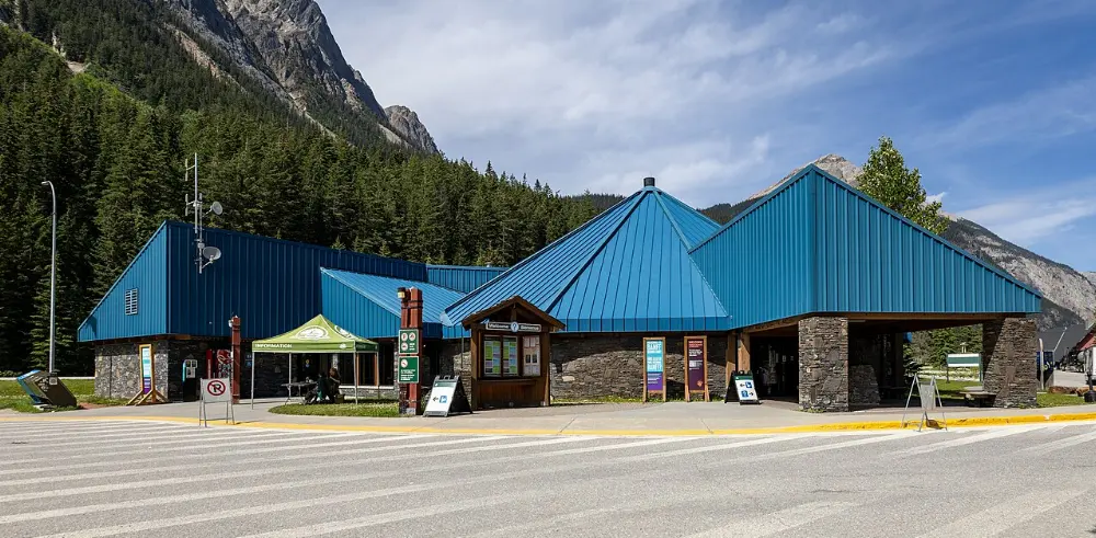
- Check road and trail conditions at the visitor centre in Field.
- Carry bear spray and make noise on trails, because grizzly and black bears live here.
- Keep a safe distance from all wildlife, including elk and mountain goats.