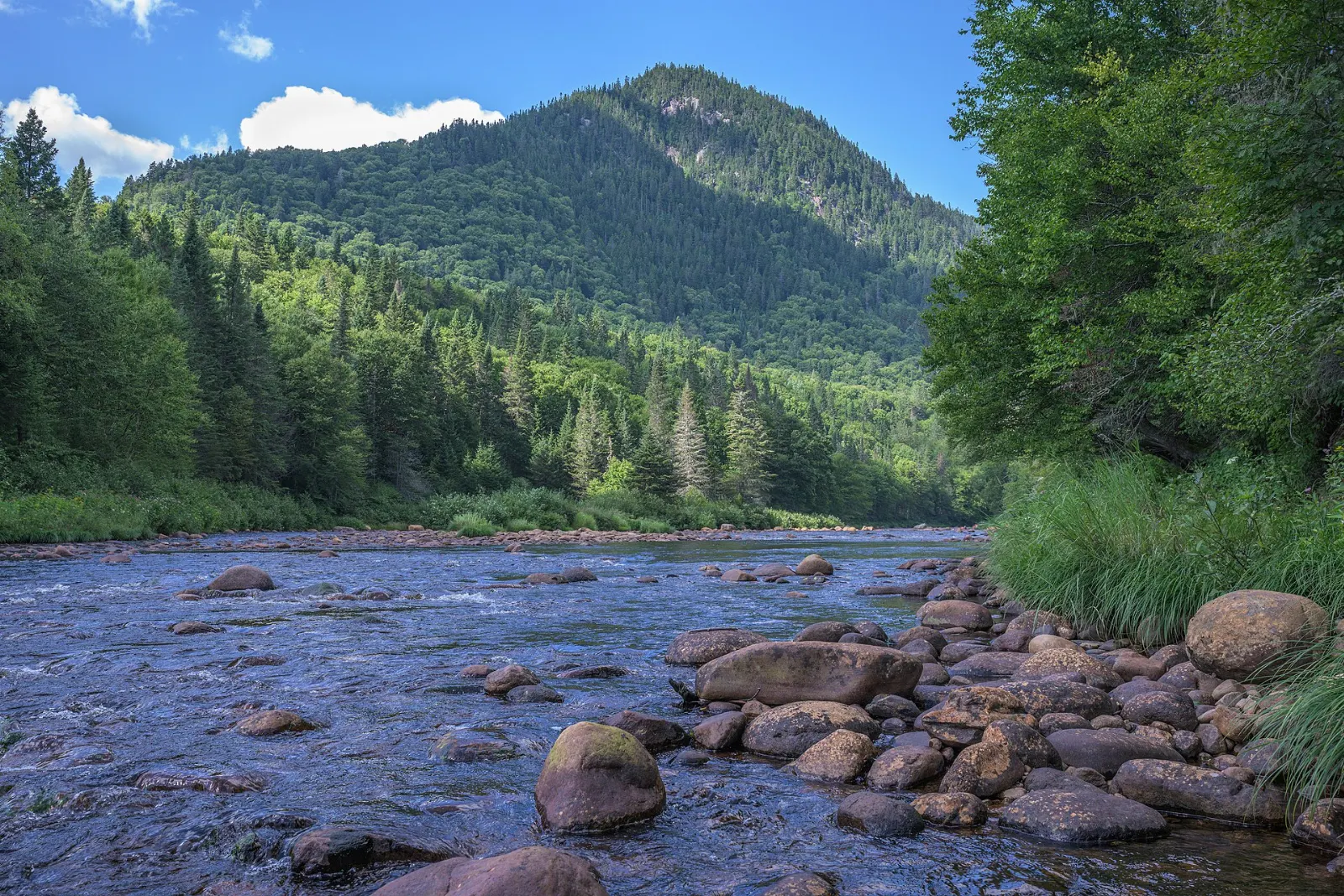
Jacques-Cartier National Park lies about 50 kilometres north of Quebec City, close enough for a day trip and wild enough to feel remote. A deep glacial valley cut by the Jacques-Cartier River runs through the Laurentian Mountains, with forested slopes, a plateau of spruce and a long list of outdoor activities.
AT A GLANCE
Best time
Summer for paddling and hiking, late September for fall color.
How long
One full day, or a weekend with a night in a cabin or yurt.
Getting there
Drive north from Quebec City on Route 175, about thirty minutes.
Why visit Jacques-Cartier National Park
The park protects part of the Laurentian massif, and its valley is the main attraction. Steep slopes covered in sugar maple and yellow birch drop to a clear river, while the plateau above is dominated by black spruce.
Wildlife is a big draw, with moose, black bear, lynx, wolves and over a hundred bird species recorded.
The park is also close to the Canadian Forces base at Valcartier and to the Laurentian Wildlife Reserve, which means large areas of forest remain unbroken, a big reason wildlife does so well here.
Inside the park
The Jacques-Cartier valley
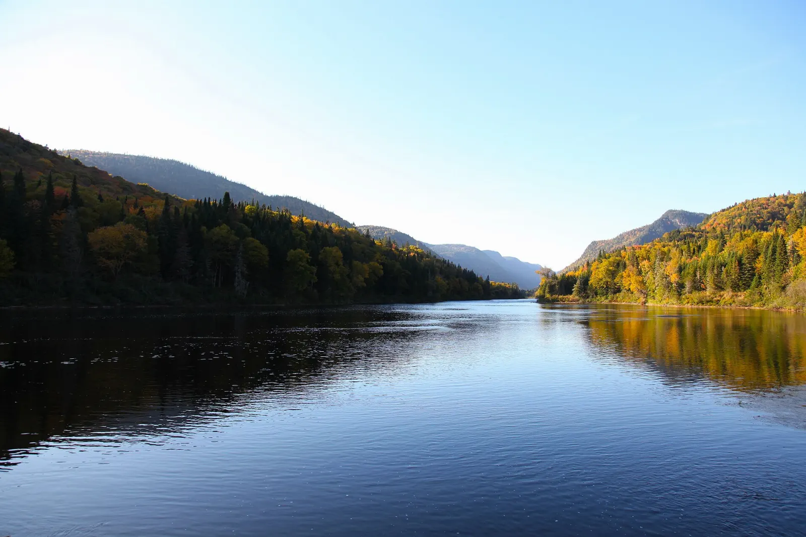
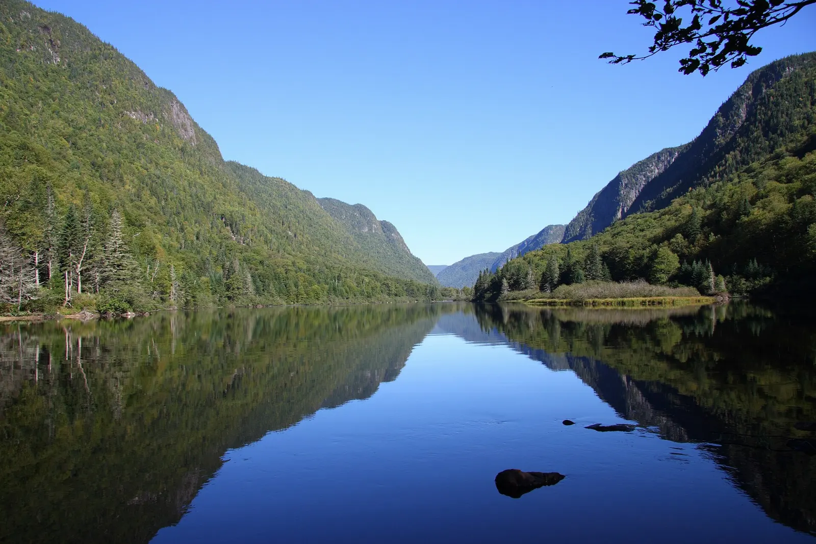
The park's signature feature is a U-shaped glacial valley about 550 metres deep, formed during the last ice age. Viewpoints along the trails show how the river winds between steep walls.
Paddling and tubing on the river
In the warmer months the Jacques-Cartier River is used for canoeing, kayaking and tubing. Calm sections suit beginners, while faster stretches reward more experience.
Hiking trails
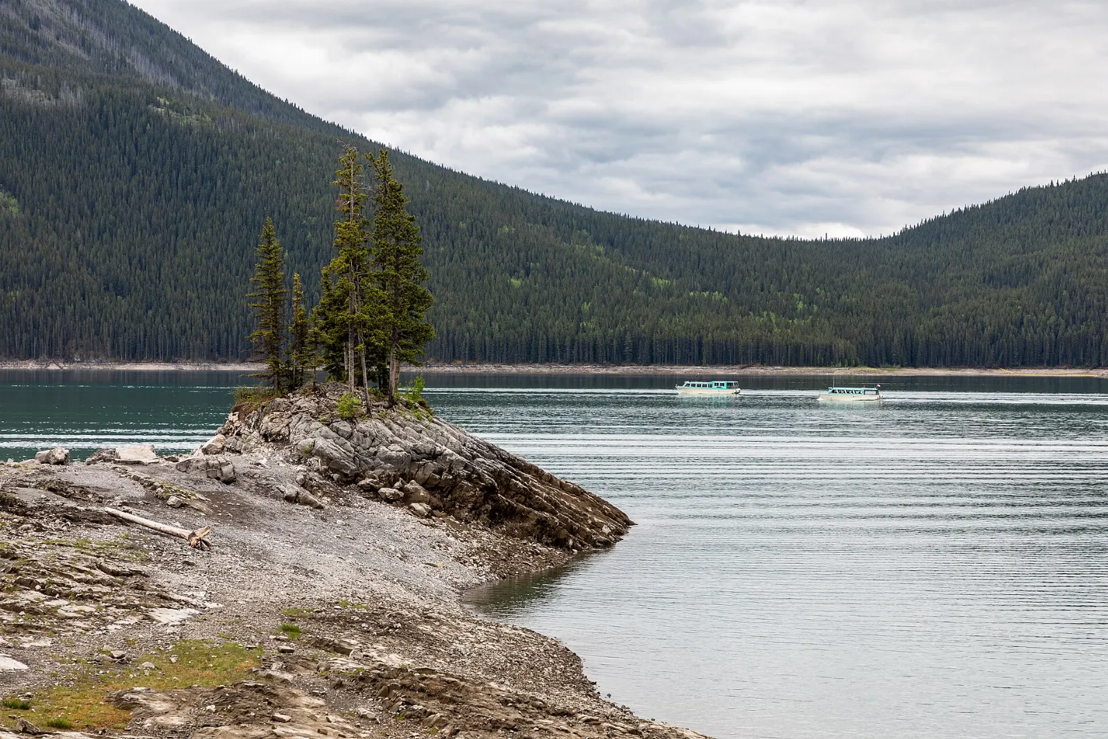
The park has around 100 kilometres of hiking trails, from short valley walks to long ridge routes.
Wildlife watching
Moose, black bear, white-tailed deer, red fox, lynx and river otter live here, and eastern wolves are also recorded. Dawn and dusk are the best times for sightings.
Fishing and the river
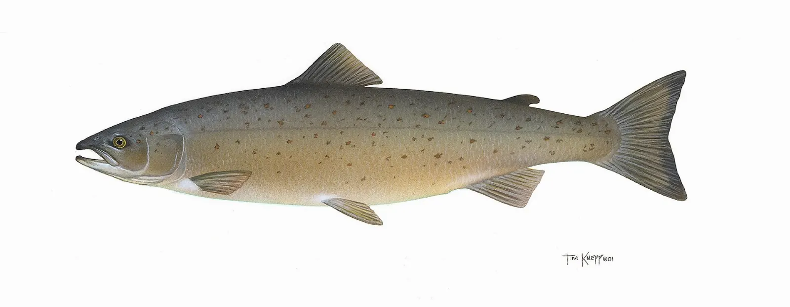
Atlantic salmon, brook trout and Arctic char live in the river and lakes, and fishing is one of the park's traditional activities. A valid license and park rules apply.
Cycling and winter activities
About 30 kilometres of biking trails let you cover more ground in summer. In winter the park opens to snowshoeing and skiing, so the valley stays a destination well after the leaves fall.
Beyond the park
Grands-Jardins National Park
Northeast of Jacques-Cartier lies Grands-Jardins National Park, part of the Charlevoix World Biosphere Reserve. It protects an unusual patch of taiga, with lichen-covered spruce and caribou habitat, far south of where such landscapes normally occur.
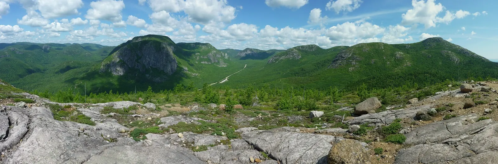
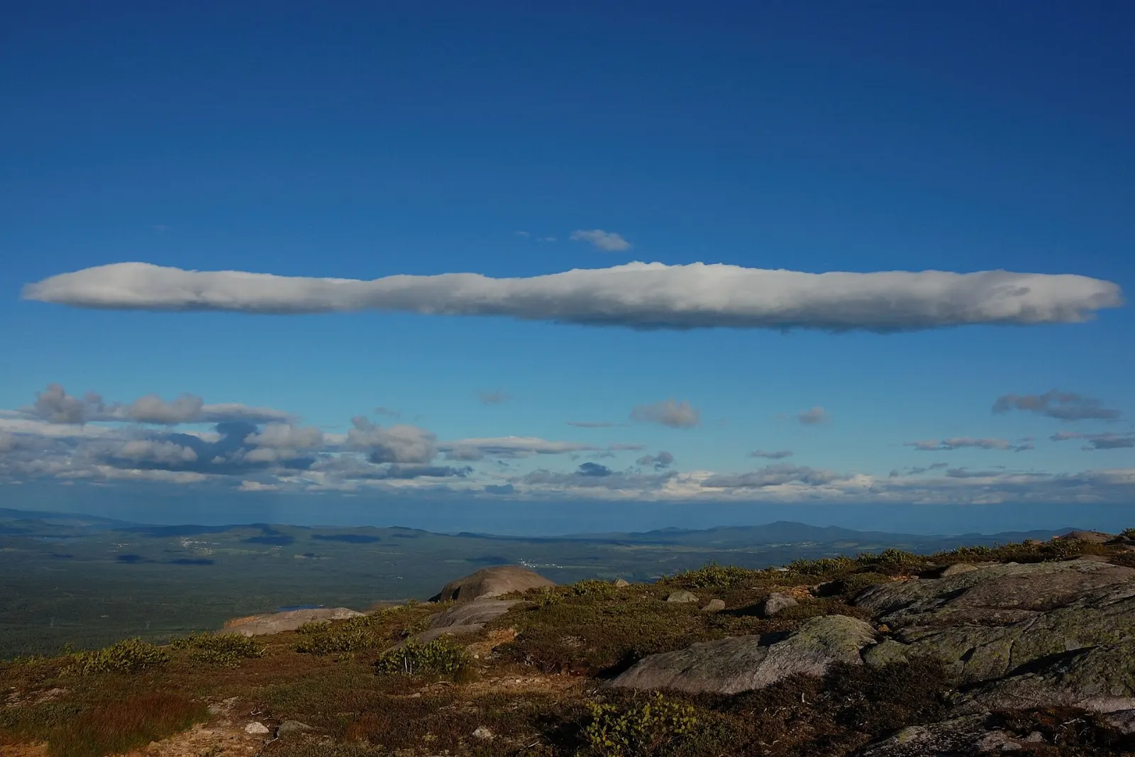
Mont du Lac des Cygnes
One of Grands-Jardins' main attractions, Mont du Lac des Cygnes rises to 980 metres and overlooks the valley of the Rivière du Gouffre. The summit views are wide and wild.
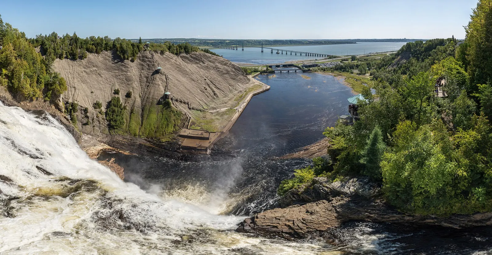
Montmorency Falls
On the way back toward town, Montmorency Falls drops 83 metres into the St. Lawrence, about 12 kilometres from Old Quebec and higher than Niagara Falls. It is a quick, easy stop with viewing areas around the park.
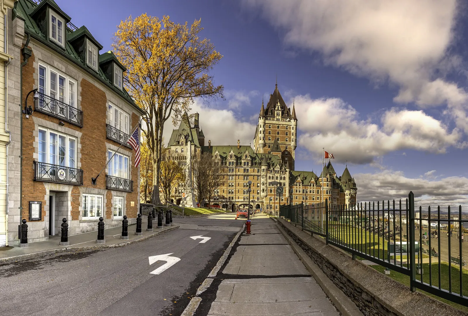
Old Quebec and Wendake
Old Quebec, the UNESCO-listed Upper Town and Lower Town, is the natural place to spend the evening after a day of hiking.
 Planning a trip to Jacques-Cartier National Park?Compare hotels, flights and vacation rentals for Jacques-Cartier National Park on Expedia.Book now
History of the valley
The Innu and the Wendat once lived on these lands. In the seventeenth century, Wendat guides led Jesuits through the valley so they could travel between Quebec City and Lac Saint-Jean without using the St. Lawrence.
The Laurentian Wildlife Reserve was created in 1895, and in 1972 a plan to build a dam that would have flooded the valley was proposed.
Food and local flavors
Quebec's comfort food suits hungry hikers. Poutine, fries topped with cheese curds and gravy, is available in cantines around Quebec City and the villages north of it.
Finish with tarte au sucre, a sugar pie considered a classic of Quebec cuisine and often made with maple syrup. Old Quebec has many cafés and bistros, and Stoneham and Lac-Beauport have casual restaurants near the road to the park.
Popular dishes to try in Jacques-Cartier National Park


Where to stay
Jacques-Cartier National Park offers cabins, yurts and campsites, which is the best choice for early mornings on the trails and quiet nights.
Stoneham is a mountain community north of Quebec City with ski and outdoor services, and it suits travelers who want lodging close to the road to the park.
Quebec City is the best choice for sightseeing, dining and nightlife, with the park about thirty minutes away.
Where to stay in Jacques-Cartier National Park


Best time to visit
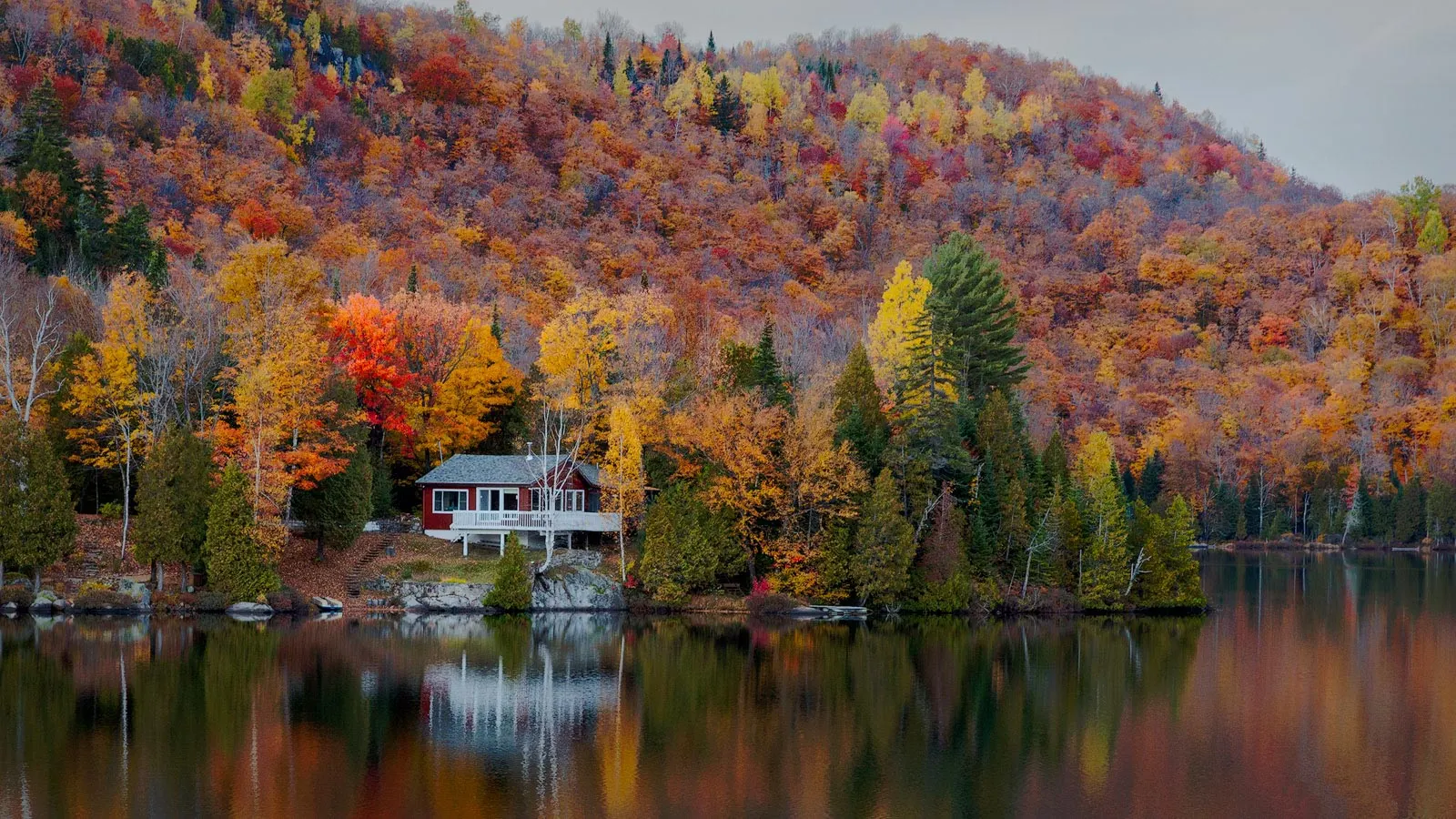
Summer is the main season, with warm days for hiking and river activities, though weekends can be busy. Late September and early October bring brilliant color to the maple and birch forest, and weekday visits feel quieter.
Winter is a different park, with snowshoeing and skiing among snowy spruce. Spring is variable, with melting snow and muddy trails, so check conditions.
Getting there and getting around
The park lies west of Route 175 in the Laurentian Mountains, around thirty minutes by car from Quebec City. Quebec City's airport and train and bus stations connect it with Montreal and other cities, and a car is the practical way to reach the park from there.
Inside the park, you move on foot, by bike or by boat, and services are concentrated near the welcome area. Fill the tank before you leave town and download directions in advance, since signal can be weak.
A suggested itinerary
First day
Leave Quebec City early and stop at the welcome centre for a map.
Second day
Drive to Grands-Jardins National Park for a mountain walk, then return via Montmorency Falls and spend the evening in Old Quebec.
Third day
Use the extra day for a longer hike, a cabin night in the valley or a visit to Wendake before heading home.
Practical tips
- Check SÉPAQ for entry rules, trail status and seasonal closures before you travel.
- Pack rain gear, because mountain weather changes quickly.
- Carry water, snacks and a printed or offline map.
- Store food securely and never feed wildlife, especially bears.
- Wear insect repellent in early summer.