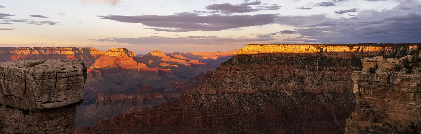
The Grand Canyon is one of those places that photographs never quite prepare you for. You walk a few steps from a parking area, the ground drops away, and suddenly you are looking across roughly ten miles of air to a far rim, with the Colorado River a thin green thread about a mile below.
AT A GLANCE
Best time
April to May and September to October for mild rim weather and easier hiking.
How long
Two full days on the South Rim; add a day for a longer hike or the North Rim.
Getting there
Fly into Phoenix, Las Vegas or Flagstaff, then drive; the South Rim is open all year.
Why visit the Grand Canyon
The canyon stretches 277 river miles across northern Arizona, and its walls expose nearly two billion years of geologic history in stacked bands of limestone, sandstone and shale.
It is also a landscape with deep human roots. Eleven Native American tribes hold traditional ties to the canyon, and the Havasupai still live within it.
Most visitors only see the South Rim, which is open year round. The North Rim sits about a thousand feet higher, gets far fewer people and closes to cars in winter.
Grand Canyon Village and the Rim Trail
The heart of the South Rim is a cluster of viewpoints, historic buildings and trailheads linked by the Rim Trail, a mostly flat path that runs for about thirteen miles along the edge. Much of the central section is paved, and shuttle stops along the way let you walk as far as you like and ride back.
Mather Point
A short walk from the main Grand Canyon Visitor Center, Mather Point is where most people get their first view, and it is a good one. Railed terraces push out onto a rocky promontory with a panorama that takes in a huge sweep of the canyon, including a glimpse of the Colorado River.
Yavapai Point and Geology Museum
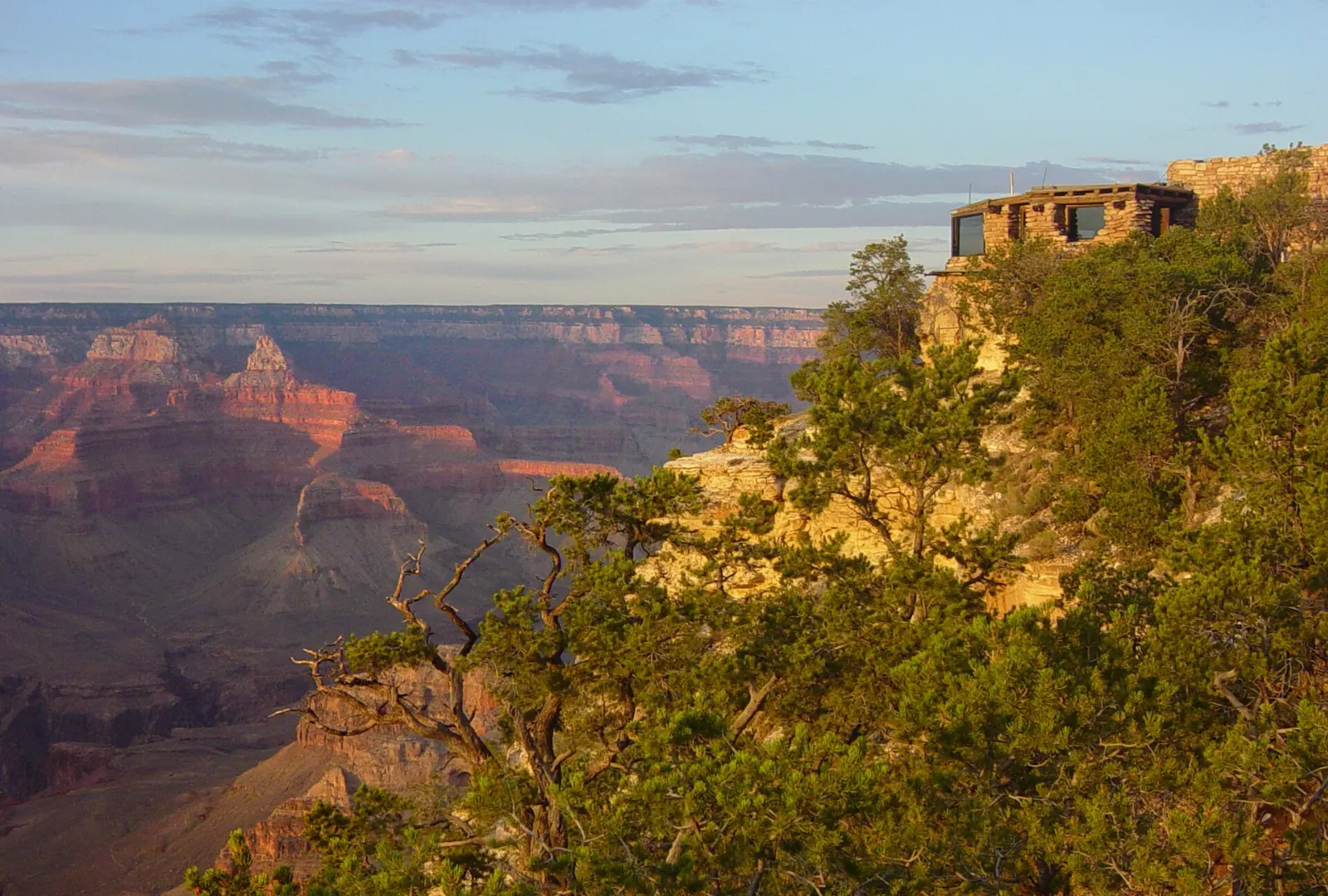
About a mile west along the Rim Trail, Yavapai Point holds a stone museum with floor-to-ceiling windows and a topographic relief model of the canyon that helps you make sense of what you are seeing. Rangers often give talks here.
Historic Grand Canyon Village
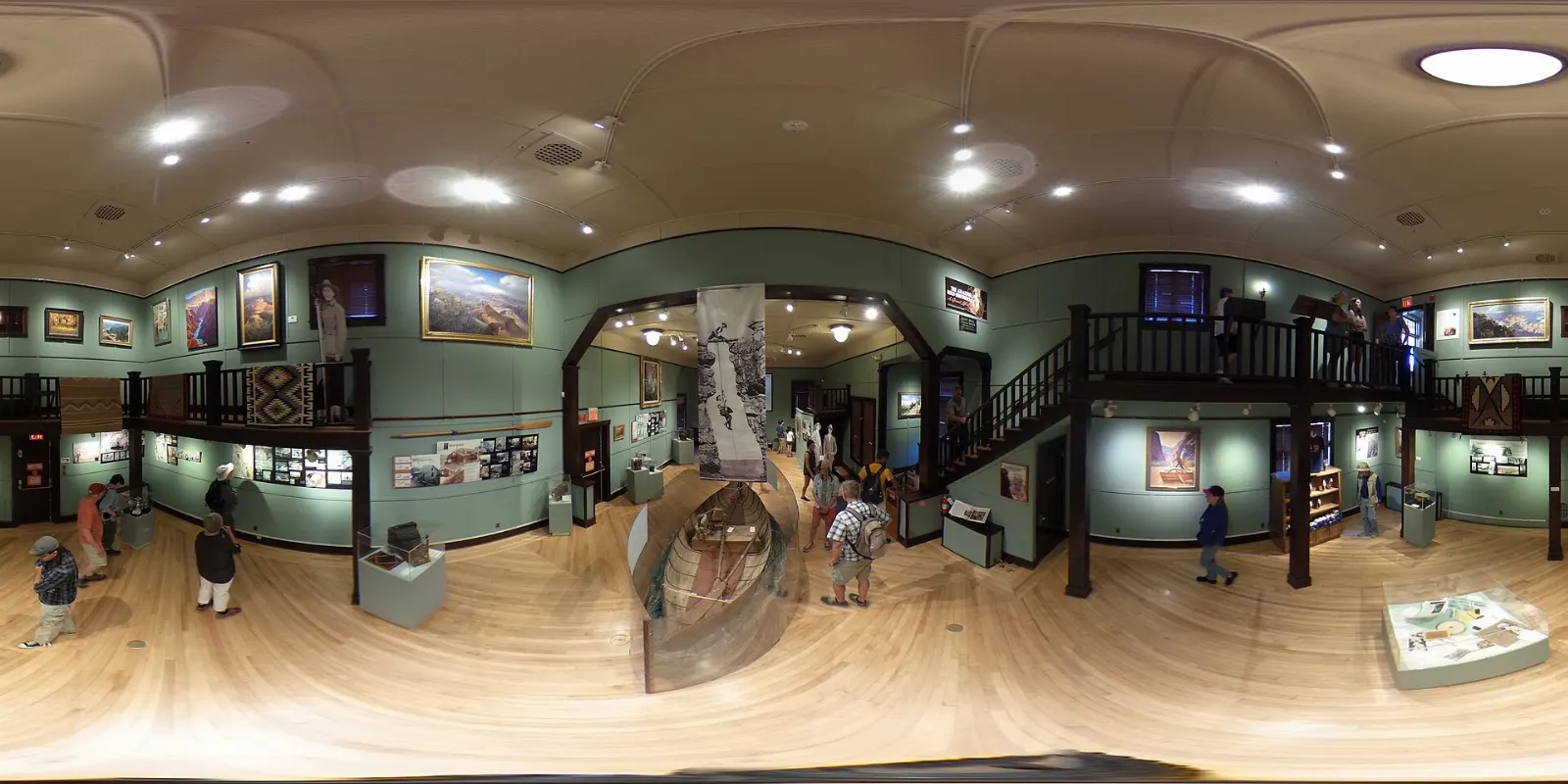
The historic district gathers early twentieth century buildings right on the rim.
Bright Angel Trail
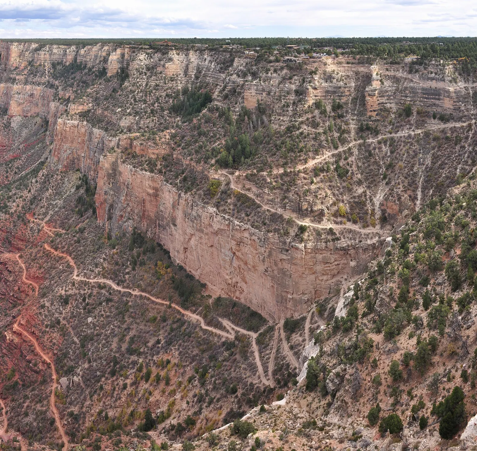
Starting beside Kolb Studio, the Bright Angel Trail descends along a fault line with steady switchbacks and seasonal water at its resthouses. Many day hikers turn around at the Mile-and-a-Half Resthouse or the Three-Mile Resthouse, while fit hikers in cool weather may go on to Havasupai Gardens.
Hermit Road and the South Kaibab Trail
West of the village, Hermit Road runs seven miles along the rim to Hermits Rest. From March through November it is closed to private vehicles, and the free Hermits Rest shuttle (the red route) stops at each overlook.
Hopi Point and Mohave Point
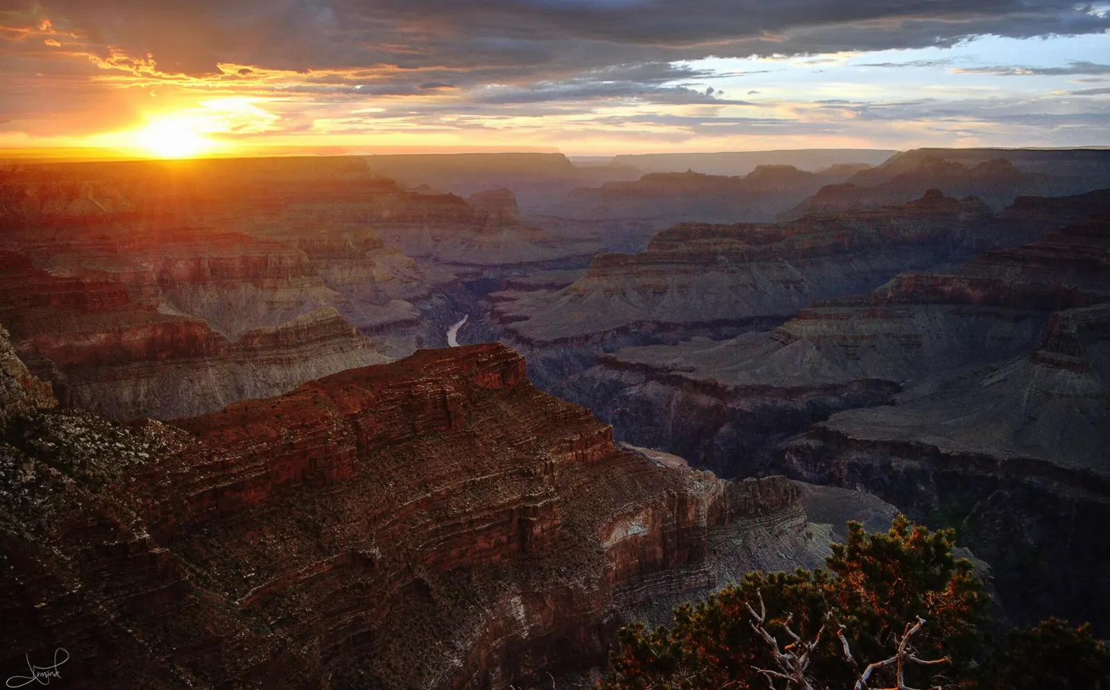
Hopi Point juts far into the canyon and offers wide views east and west, which is why it draws big crowds at sunset. Nearby Mohave Point gives a clear look down to the Colorado River and the sound of Hermit Rapid on still days.
Hermits Rest
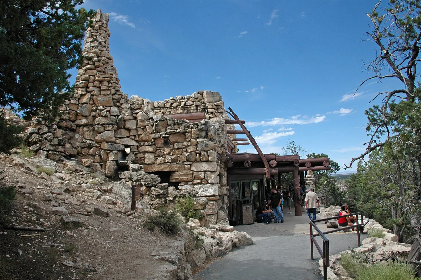
At the end of the road, Hermits Rest is a small stone building Mary Colter designed in 1914 to look like a shelter an old prospector might have built, complete with a massive fireplace.
South Kaibab Trail to Ooh Aah Point and Cedar Ridge
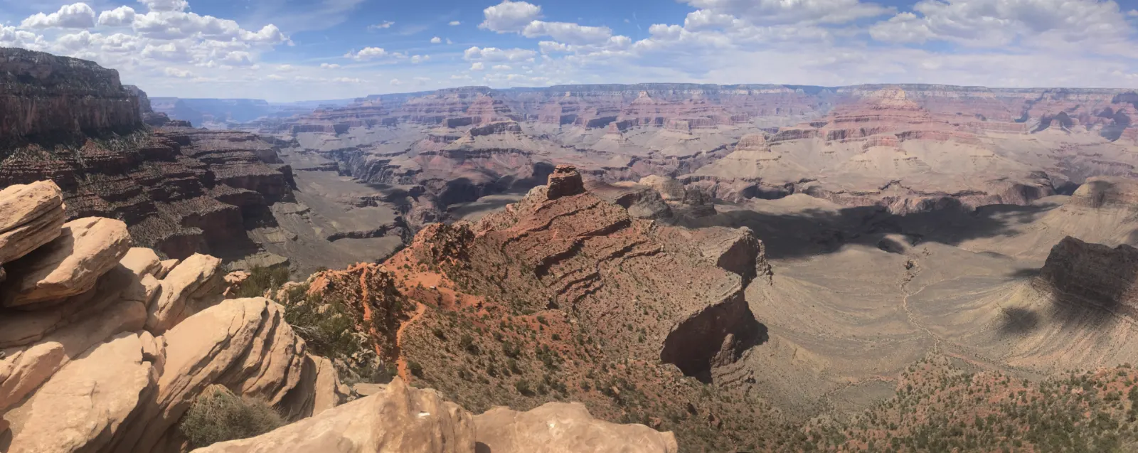
East of the visitor center, the South Kaibab Trail follows a ridgeline instead of a side canyon, so the views open up almost immediately. Ooh Aah Point is under a mile down and a good goal for a first taste of the inner canyon, while Cedar Ridge, a bit farther, makes a solid two to four hour round trip.
Desert View Drive and the North Rim
Desert View Drive heads twenty-five miles east from the village to the park's east entrance, with a string of pullouts that you reach by car. It is the best way to escape the busiest areas, and if you enter or leave the park via Cameron, you will drive it anyway.
Desert View Watchtower
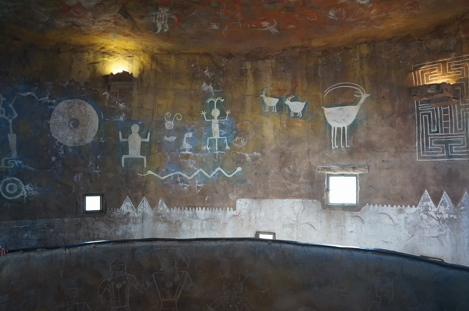
At the eastern end of the drive, the seventy-foot Desert View Watchtower is perhaps Colter's most striking work. Completed in 1932, it was modeled on ancestral Puebloan towers, and its interior holds murals by Hopi artist Fred Kabotie.
Lipan Point
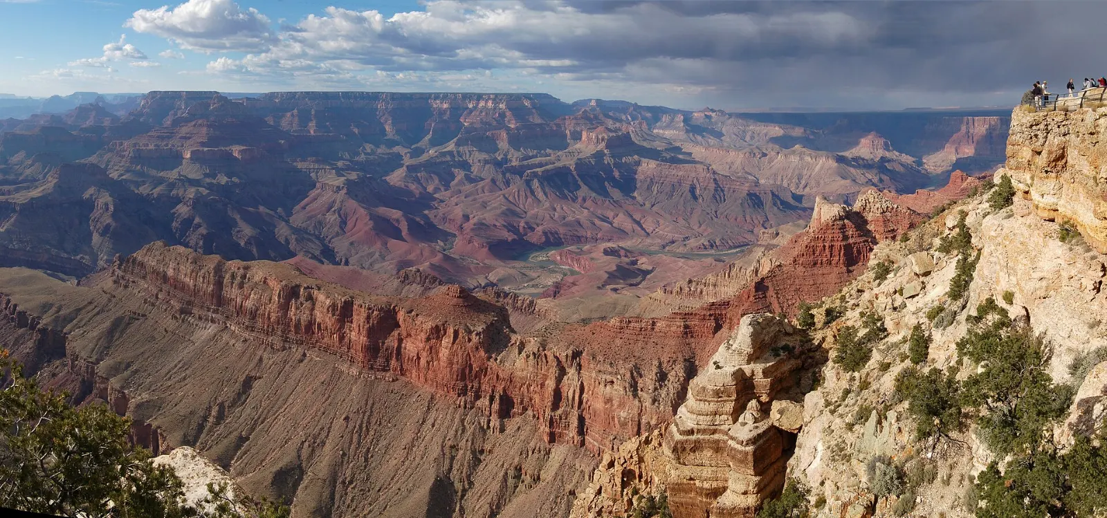
Just west of Desert View, Lipan Point gives one of the longest views of the Colorado River from the South Rim, with the river curving through a wide section of canyon below. It is a favorite for sunrise and sunset because the open terrain catches light from both directions.
The North Rim: Cape Royal and Point Imperial
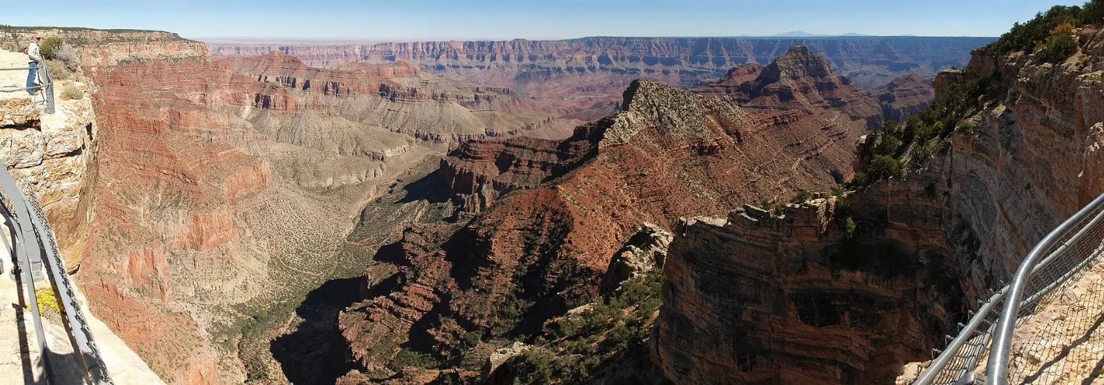
The North Rim is a separate trip, about 215 miles and four to five hours by road from the South Rim, through a forest of ponderosa pine, aspen and fir on the Kaibab Plateau.
 Planning a trip to Grand Canyon National Park?Compare hotels, flights and vacation rentals for Grand Canyon National Park on Expedia.Book now
Food and local flavors
Dining inside the park is practical rather than adventurous: cafeterias, delis, a market at Market Plaza and a few historic dining rooms on the rim, where dinner reservations are worth making well ahead in busy months.
The flavors of the region are worth seeking out.
Popular dishes to try in Grand Canyon National Park


Where to stay
Inside the park on the South Rim. Staying in Grand Canyon Village puts you steps from the rim for sunrise, sunset and stargazing without a drive.
Tusayan. The small town just outside the south entrance has chain-style hotels, restaurants and a seasonal free shuttle into the park.
Williams and Flagstaff. Williams is about an hour from the rim and is the departure point for the Grand Canyon Railway.
North Rim area. Jacob Lake and Kanab, Utah, are the main bases when park lodging is limited. Kanab also puts you within reach of Zion and Bryce Canyon.
Where to stay in Grand Canyon National Park


Best time to visit
Spring, from April to May, and fall, from September to October, bring comfortable rim temperatures, clear air and better hiking conditions, though they are popular and weekends can be busy.
Winter is quiet and often beautiful, with snow dusting the red rock, but nights are cold and icy trails call for traction devices. The North Rim is a summer and early fall destination only.
Getting there and getting around
The closest major airport is Flagstaff Pulliam Airport, about eighty miles from the South Rim, but most travelers fly into Phoenix Sky Harbor, roughly three and a half to four hours away by car, or Las Vegas, about four and a half hours away.
Inside the park, the free shuttle buses are the easiest way to get around the South Rim.
Day hikes do not require permits, but overnight trips below the rim and camping at Phantom Ranch or backcountry sites require advance permits or lotteries. River trips on the Colorado through the canyon are run by licensed outfitters and are often booked a year or more ahead.
A suggested itinerary
First day
Arrive at the main visitor center, watch the park film and walk out to Mather Point. Follow the Rim Trail west to the Yavapai Geology Museum, then along the Trail of Time into the historic village.
Second day
Catch an early shuttle to the South Kaibab Trailhead and hike to Ooh Aah Point or Cedar Ridge before the heat builds. After lunch, drive Desert View Drive east, stopping at Grandview Point, Moran Point and the Tusayan Ruin and Museum.
Third day
With a third day, either take a longer morning hike on the Bright Angel Trail toward the Three-Mile Resthouse, join a ranger program or ride the Grand Canyon Railway.
Practical tips
- Book lodging and campsites inside the park as early as possible; they often sell out many months ahead.
- Arrive before about nine in the morning in busy seasons to find parking, or use the free shuttles.
- On any hike below the rim, carry plenty of water and salty snacks, hike in the cooler hours and turn around well before you feel tired.
- Stay behind railings and back from unfenced edges, especially when taking photos; the rim can be crumbly and drops are sheer.
- The South Rim sits at around seven thousand feet, so drink water, take it slow and expect to tire faster than at home.
- Pack layers year round; mornings and evenings on the rim can be cold even in summer.
- Do not feed squirrels, ravens or elk, and give elk plenty of space, particularly in fall.
Find local businesses in Flagstaff on WiserMap
Flagstaff is the largest town near the South Rim and a handy base for supplies, gear, meals and lodging before or after your canyon days.