The Black Hills rise out of the western South Dakota prairie like an island of pine-covered granite, and they pack an unusual amount into a compact area.
AT A GLANCE
Best time
Late May through September for open scenic roads; September for fewer crowds and fall color.
How long
Four to six days covers the highlights without rushing.
Getting there
Fly into Rapid City Regional Airport or drive Interstate 90; a car is essential.
Why visit the Black Hills
Mount Rushmore draws most first-time visitors, but the surrounding Black Hills are the real reason to stay longer. The region holds a national memorial, two national parks counting nearby Badlands, a national monument, one of the largest state parks in the country and a national forest laced with trails and lakes.
The scenery shifts quickly. The southern hills open into rolling grassland where bison, pronghorn and prairie dogs roam. The central hills are a jumble of granite spires and clear lakes.
Mount Rushmore and the central hills
Mount Rushmore National Memorial
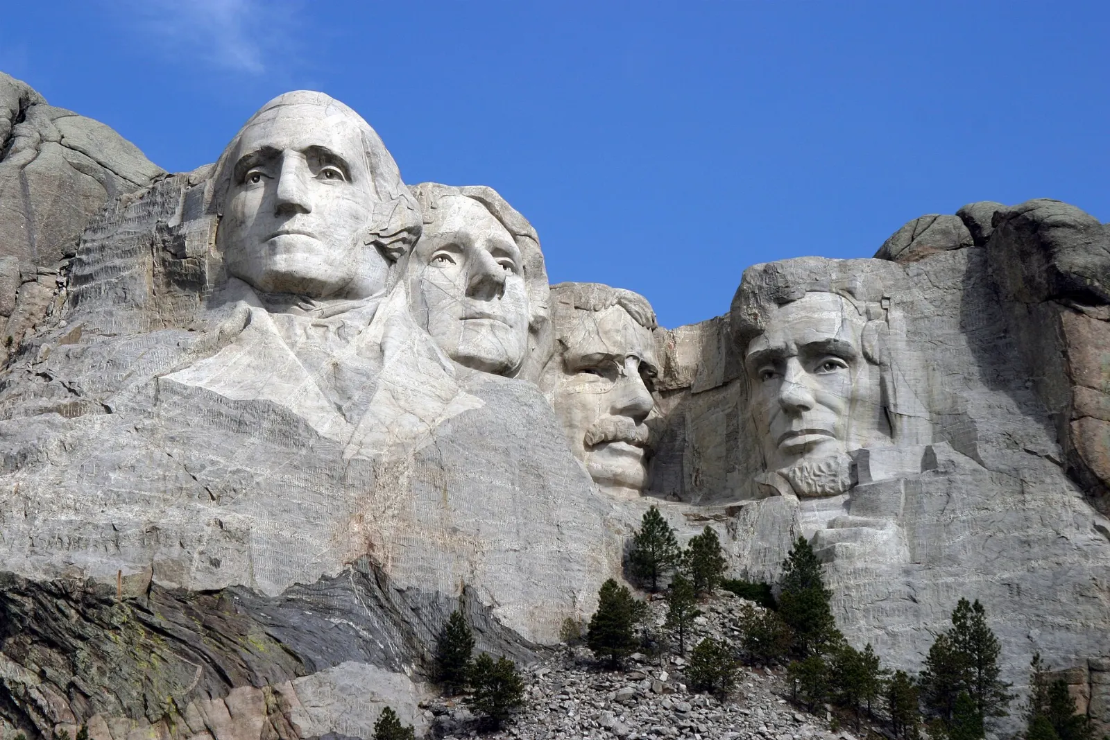
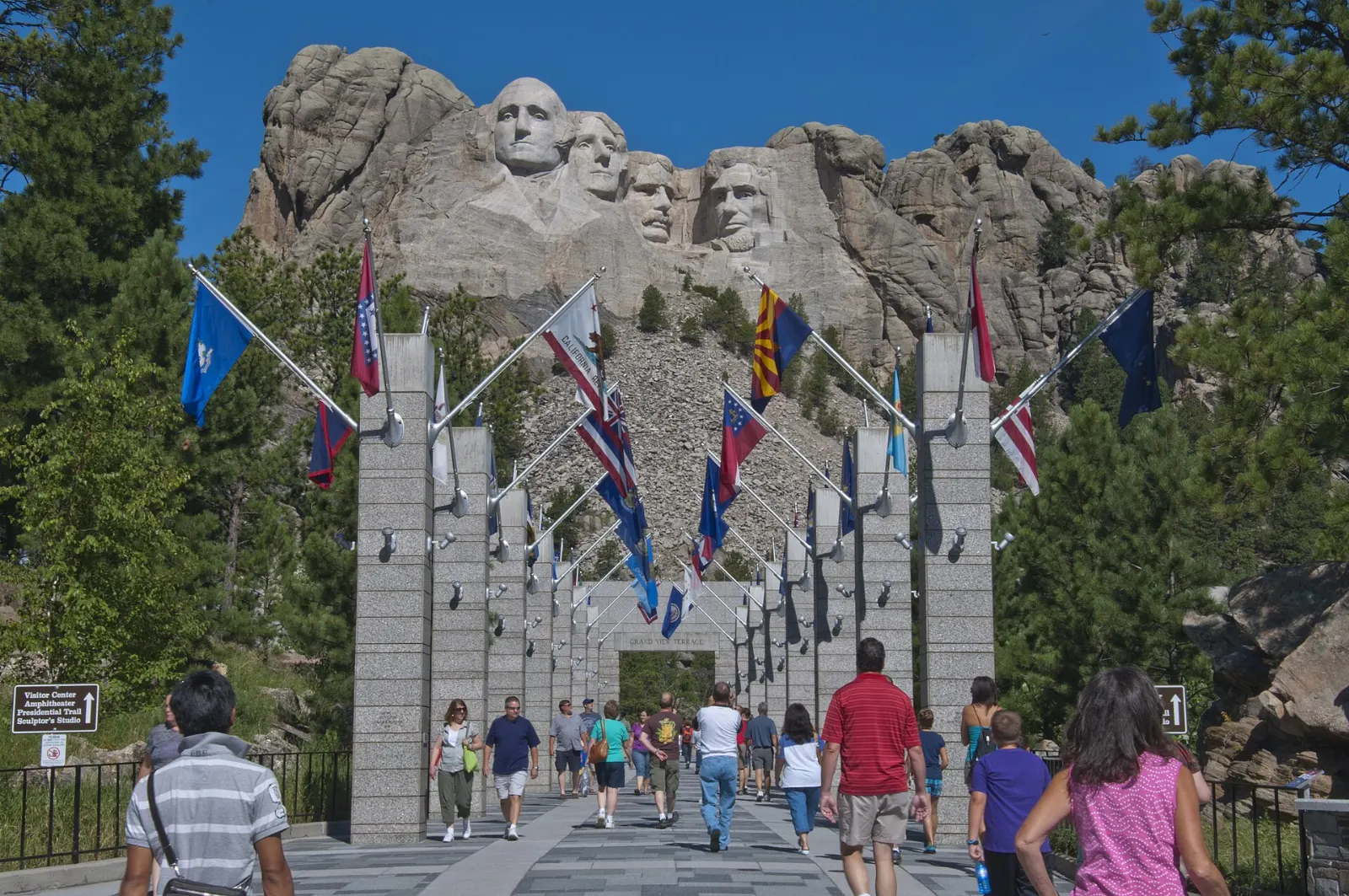
The sculpture is larger and more detailed in person than most people expect, with each face roughly sixty feet tall. Walk the Avenue of Flags to the Grand View Terrace, then take the Presidential Trail, a short loop with several hundred stairs that brings you close to the base of the carving and offers angles you cannot see from the terrace.
Allow two to three hours. Arrive early morning when light falls directly on the faces, or attend the evening lighting ceremony held on summer nights.
Crazy Horse Memorial
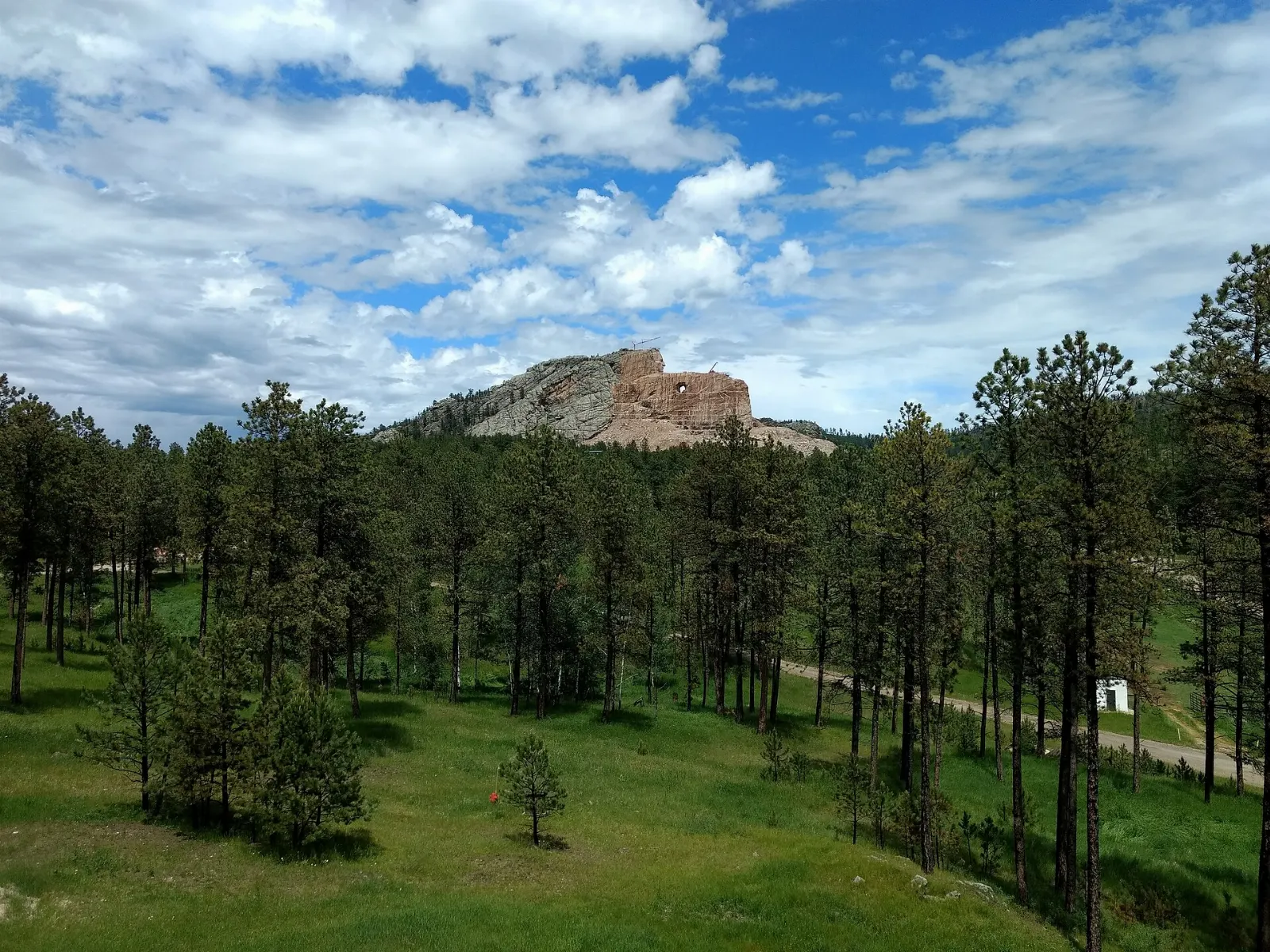
About seventeen miles southwest of Rushmore, the Crazy Horse Memorial is a mountain carving still in progress, honoring the Lakota leader. Work began in 1948 under sculptor Korczak Ziolkowski, and the face was dedicated in 1998.
Allow two hours. The memorial is privately funded, so admission works differently from federal sites; plan to pay at the gate.
Keystone and Hill City
Keystone, the closest town to Rushmore, is a busy strip of shops, fudge counters and attractions that works well for a quick meal. Hill City, a few miles northwest, has a calmer main street with galleries and wine tasting rooms.
Custer State Park and the southern hills
Needles Highway
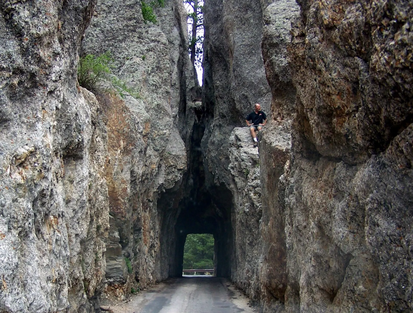
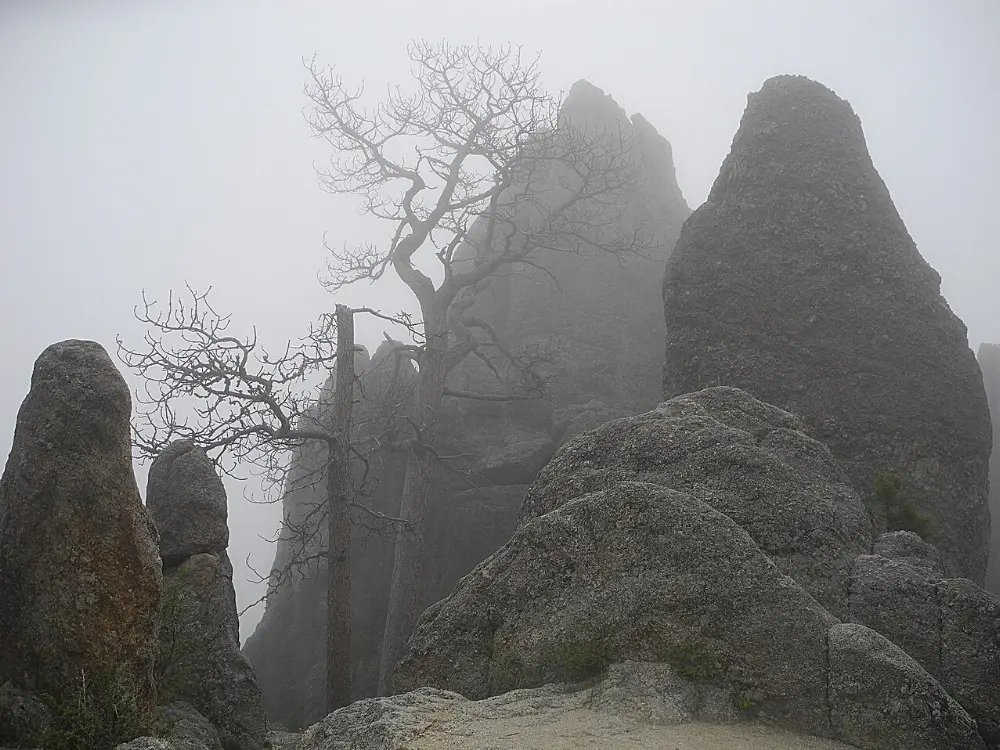
South Dakota Highway 87, known as the Needles Highway, winds for about fourteen miles past tall granite spires, through narrow tunnels and around tight curves. The Needles Eye Tunnel, barely wider than a car, is the famous squeeze; nearby the Needle's Eye spire has a slender gap near its top.
Sylvan Lake and Black Elk Peak
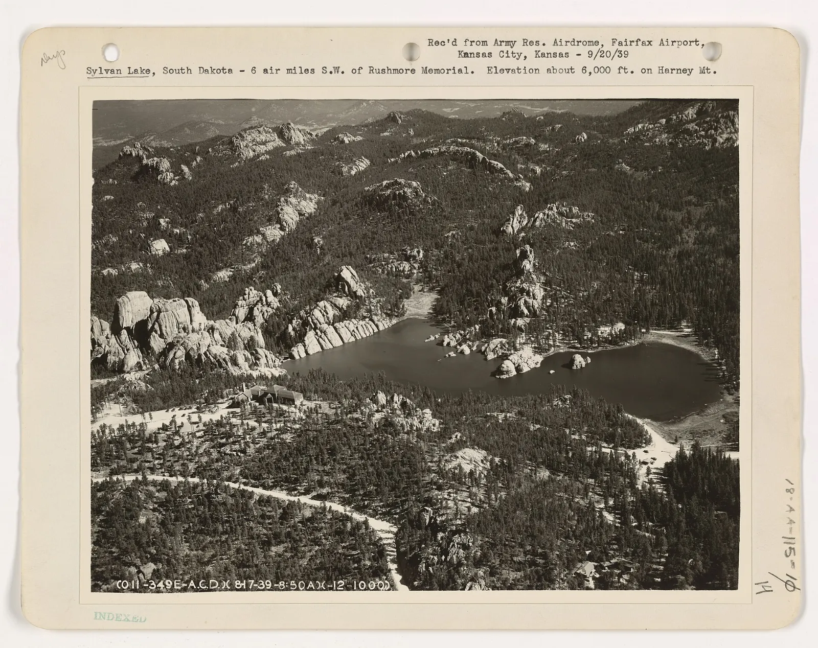
At the northern end of the Needles Highway, Sylvan Lake is a small reservoir framed by granite boulders. An easy trail circles the shore in under an hour, and families scramble over the rocks at the dam end.
Wildlife Loop Road
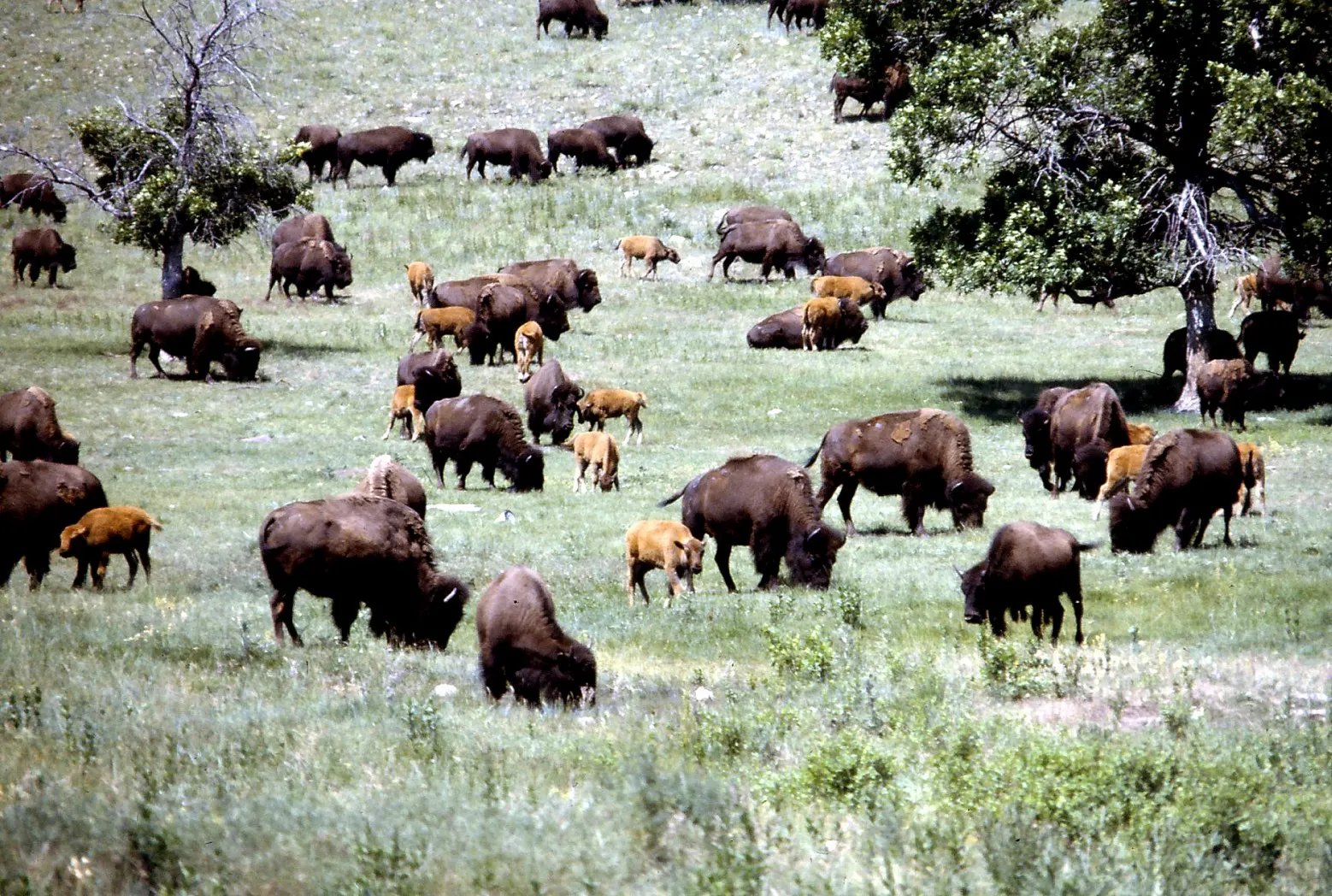
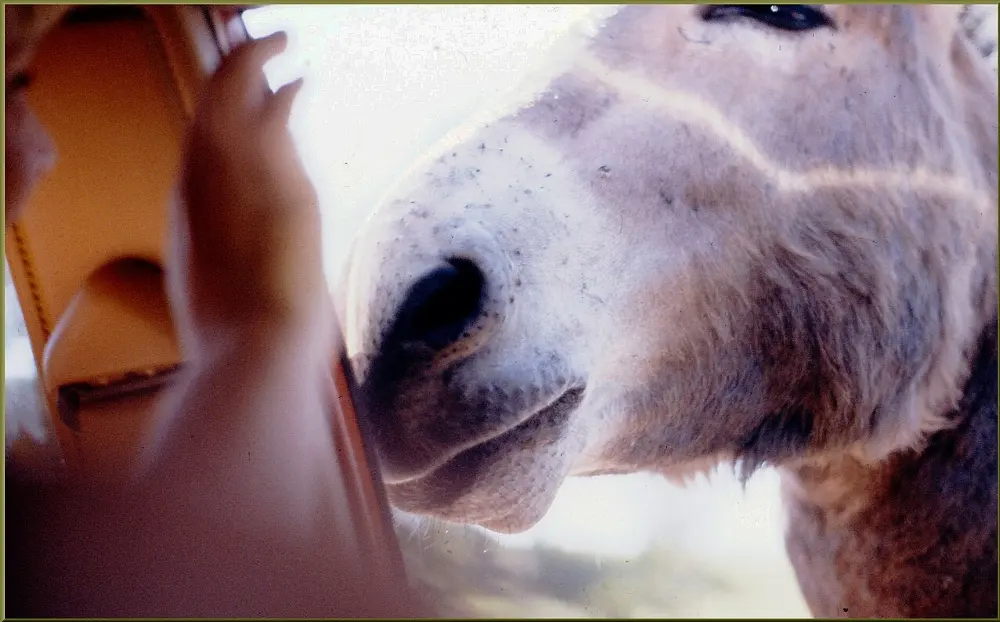
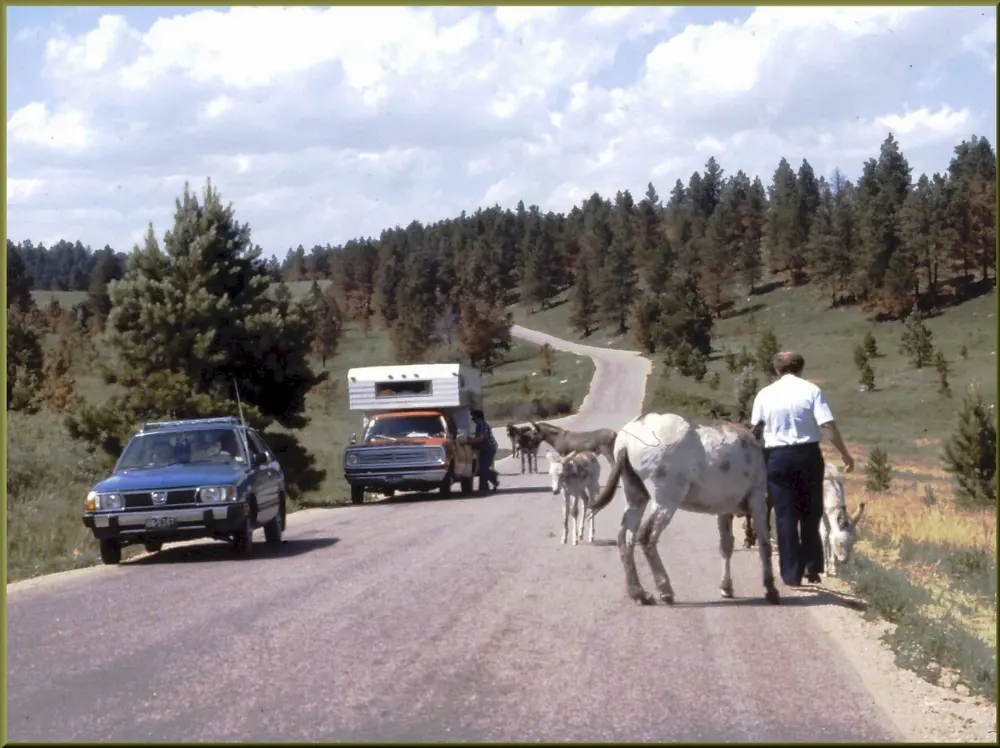
The Wildlife Loop Road, about eighteen miles long, crosses the open grasslands of southern Custer State Park. You are likely to see bison, pronghorn, prairie dog towns, white-tailed and mule deer, and the famous begging burros, descendants of pack animals released decades ago. Drive it early morning or near sunset, when animals are most active.
Iron Mountain Road
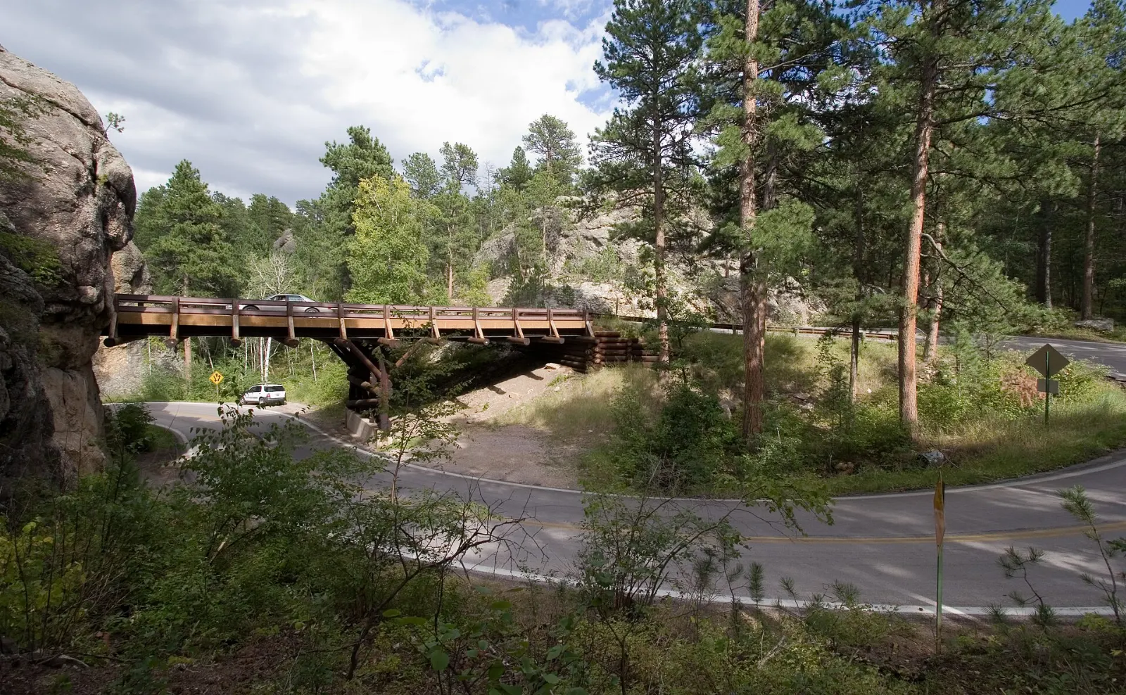
U.S. Highway 16A between Custer State Park and Keystone, called Iron Mountain Road, was designed so that its rock tunnels frame Mount Rushmore in the distance. It also features the pigtail bridges, wooden spiral structures that loop the road over itself. Allow about an hour.
Wind Cave National Park and Jewel Cave
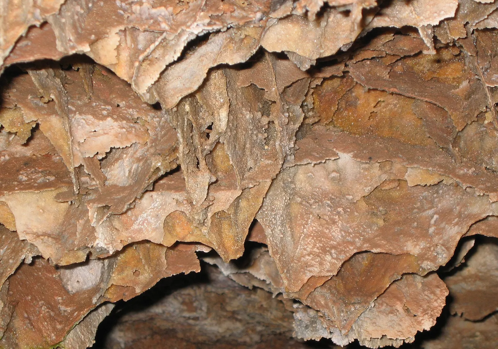
Wind Cave National Park protects both prairie above ground and one of the longest and most complex caves in the world below. The cave is known for boxwork, delicate calcite fins rarely found elsewhere.
 Planning a trip to Mount Rushmore and the Black Hills?Compare hotels, flights and vacation rentals for Mount Rushmore and the Black Hills on Expedia.Book now
Rapid City, Spearfish Canyon and Deadwood
Rapid City
Rapid City is the largest town in the area and the usual gateway. Downtown, the City of Presidents project places life-size bronze statues of past presidents on street corners, and Main Street Square hosts events in summer.
Spearfish Canyon Scenic Byway
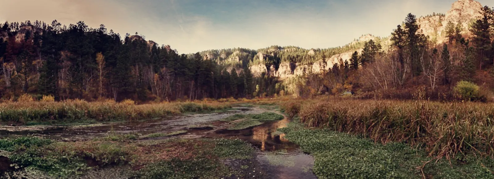
U.S. Highway 14A follows Spearfish Creek through a deep limestone canyon for about twenty miles.
Deadwood
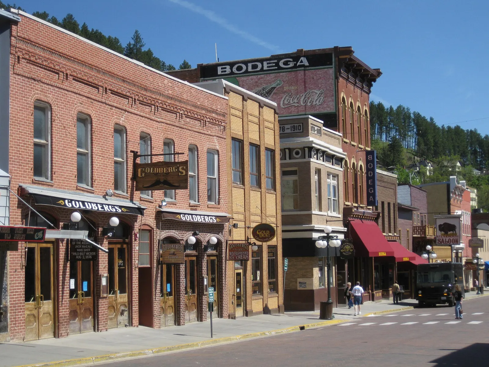
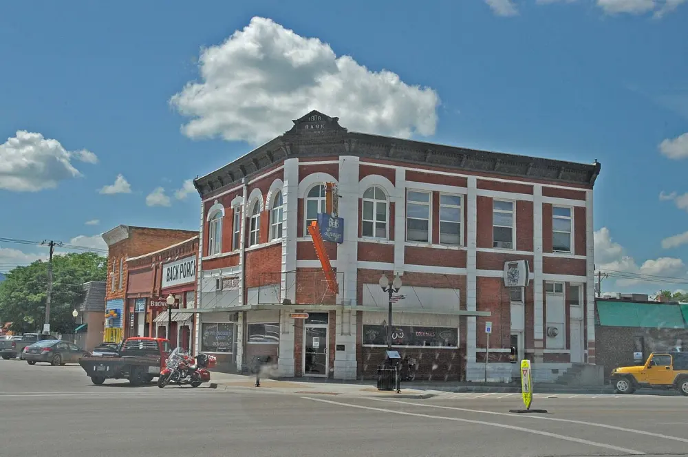
Deadwood boomed after gold was found in the Black Hills in 1876, and its brick Main Street is now a National Historic Landmark district with casinos, saloons and historic hotels.
Badlands National Park
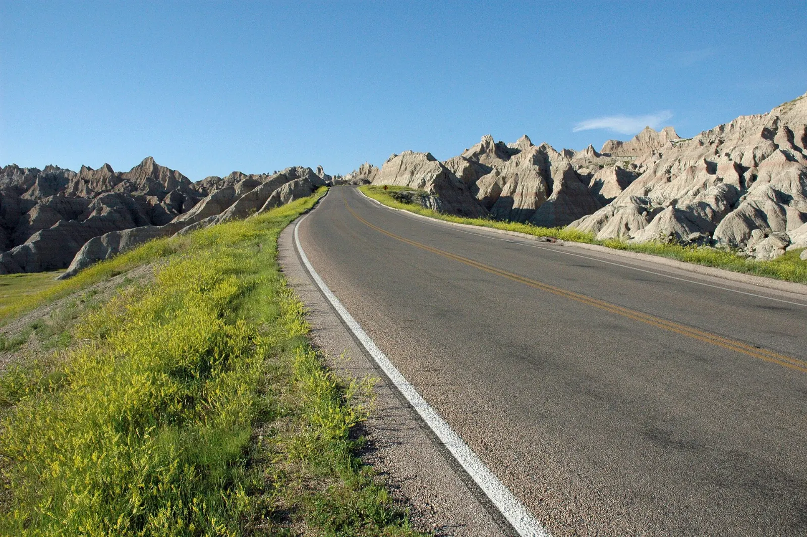
Roughly an hour east of Rapid City, Badlands National Park makes a strong day trip. Drive the Badlands Loop Road for eroded pinnacles and banded buttes, and walk the short Door and Notch trails near the Ben Reifel Visitor Center.
Food and local flavors
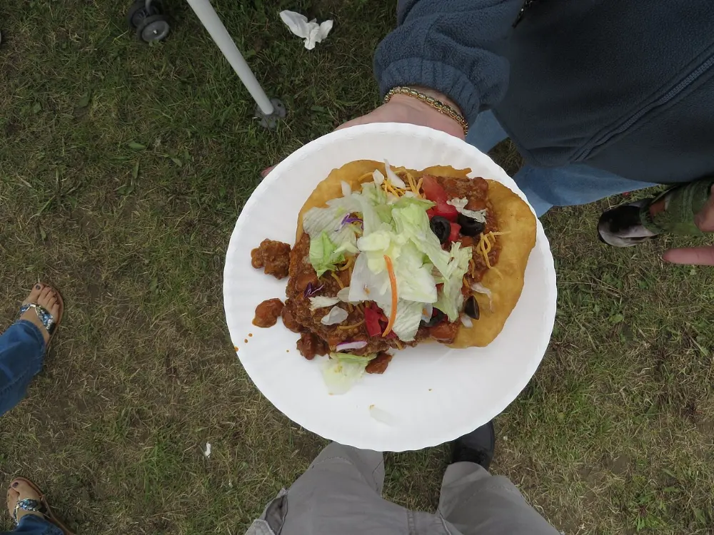
Black Hills cooking leans hearty. Bison appears everywhere, from burgers and steaks to stew, and it is worth trying at least once.
Walleye and trout show up on menus near the lakes, and pheasant is a regional favorite in fall. Hill City and Rapid City have the most varied dining and several craft breweries, while Deadwood's casinos run casual restaurants open late.
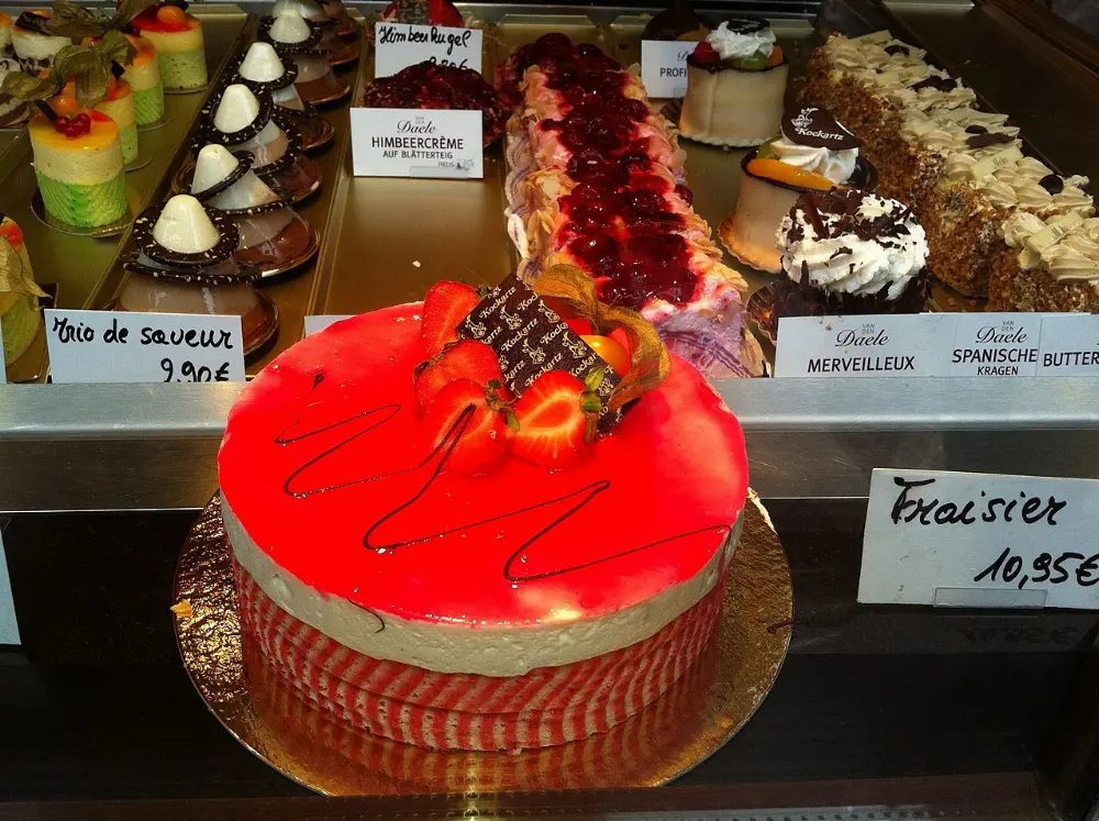
Popular dishes to try in Mount Rushmore and the Black Hills
Where to stay
Rapid City suits travelers who want the widest choice of lodging and dining, easy airport access and a central position for day trips to Badlands and the northern hills.
Custer and Custer State Park work well for nature-focused travelers, with park lodges, cabins and campgrounds near the Needles Highway and Wildlife Loop. Deadwood and Spearfish suit visitors focused on the northern canyons and history, and Spearfish sits right at the mouth of the byway.
Where to stay in Mount Rushmore and the Black Hills
Best time to visit
Summer, from June through August, brings warm days, all attractions running, the Rushmore lighting ceremony and the biggest crowds.
September is arguably the best month: cooler temperatures, thinner crowds, the Buffalo Roundup and the start of fall color in Spearfish Canyon.
Getting there and getting around
Rapid City Regional Airport is the main airport, about a half hour from downtown Rapid City and roughly forty minutes from Mount Rushmore.
A car is essential; public transportation to the main sights is minimal outside of guided tours. Mount Rushmore to Custer State Park is under an hour, and Rapid City to Deadwood about an hour.
A suggested itinerary
First day
Arrive in Rapid City, walk past the City of Presidents statues and drive up to Dinosaur Park.
Second day
Return to Rushmore early for the Presidential Trail in morning light, then drive to the Crazy Horse Memorial.
Third day
Drive the Needles Highway to Sylvan Lake, hike Black Elk Peak or the lake loop, then cross to Iron Mountain Road and finish with the Wildlife Loop Road at sunset.
Fourth day
Take a reserved tour at Wind Cave or Jewel Cave, then explore the town of Custer.
Fifth day
Head north for Spearfish Canyon's waterfalls and an evening in Deadwood.
Practical tips
- Reserve Wind Cave and Jewel Cave tours on Recreation.gov as soon as your dates are set; same-day tickets often sell out in summer.
- Check tunnel heights and widths before taking an RV on the Needles Highway or Iron Mountain Road.
- Stay in your vehicle near bison; they are fast and unpredictable, and the park asks visitors to keep a wide distance.
- Do not feed the begging burros or other wildlife, even when they approach the car.
- Start hikes early to avoid summer thunderstorms and lightning on exposed summits.
- Carry layers; mornings can be cool even in July, and elevation changes quickly.
Find local businesses in Rapid City on WiserMap
Looking for a place to eat, an outfitter, a car service or a local shop before you head into the hills?