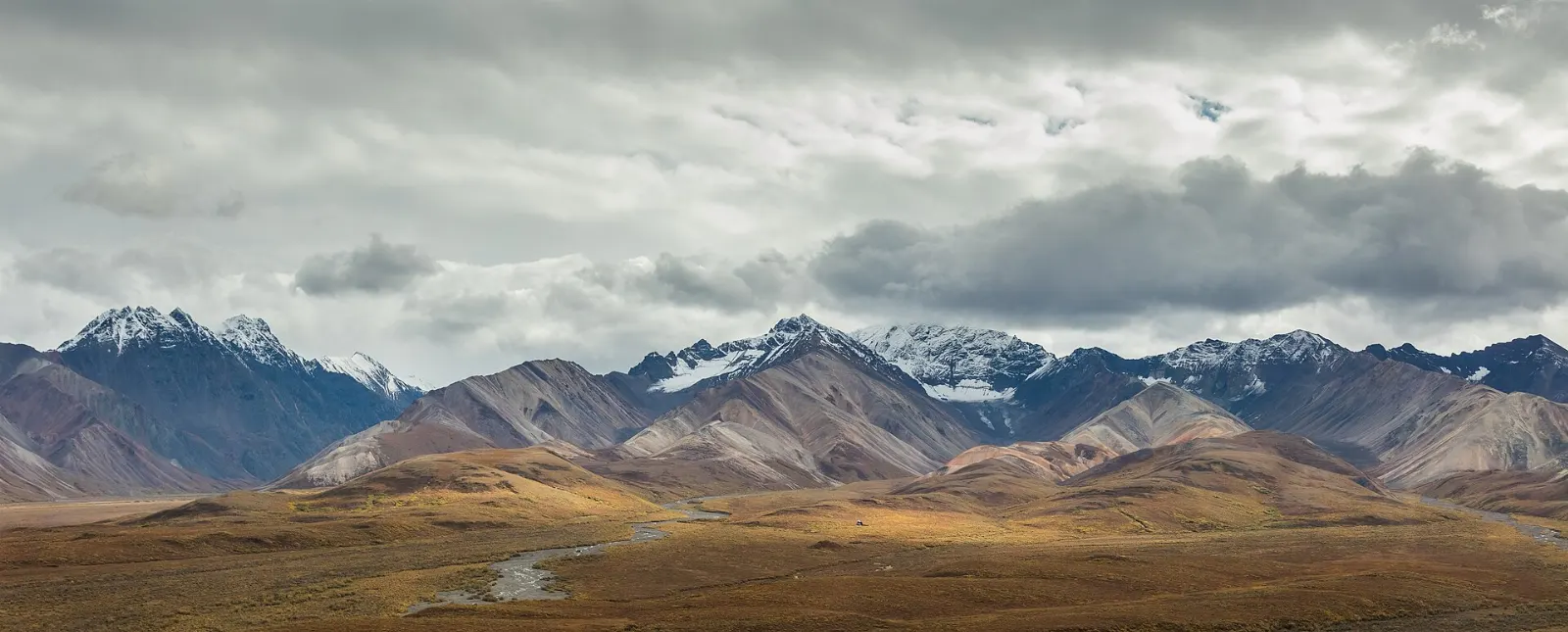
Denali National Park and Preserve covers about six million acres of interior Alaska, an area larger than the state of Massachusetts, yet it has only one road.
AT A GLANCE
Best time
Late May to mid-September, when buses run and trails are snow free; late August brings fall color.
How long
Two to three full days covers the entrance area and one long bus trip into the park.
Getting there
Drive the Parks Highway or ride the Alaska Railroad from Anchorage or Fairbanks to the park depot.
Why visit Denali National Park
Congress set this land aside in 1917 as Mount McKinley National Park, mainly to protect its large animals, and that purpose still shapes the visit. On a single day along the road you can reasonably expect to see caribou, Dall sheep on the ridges, moose in the willows and grizzly bears grazing on open slopes.
Then there is the mountain. Denali, the Koyukon Athabascan name usually translated as the High One, is the tallest peak in North America, and its rise of roughly 18,000 feet from the lowlands near Wonder Lake is one of the greatest vertical reliefs on Earth.
The entrance area: visitor centers, kennels and trails
The first few miles of the park road hold the visitor facilities, the railroad depot, the main campground and a network of well-built trails. You can spend a full day here without a bus ticket, and it is the right place to start.
Denali Visitor Center
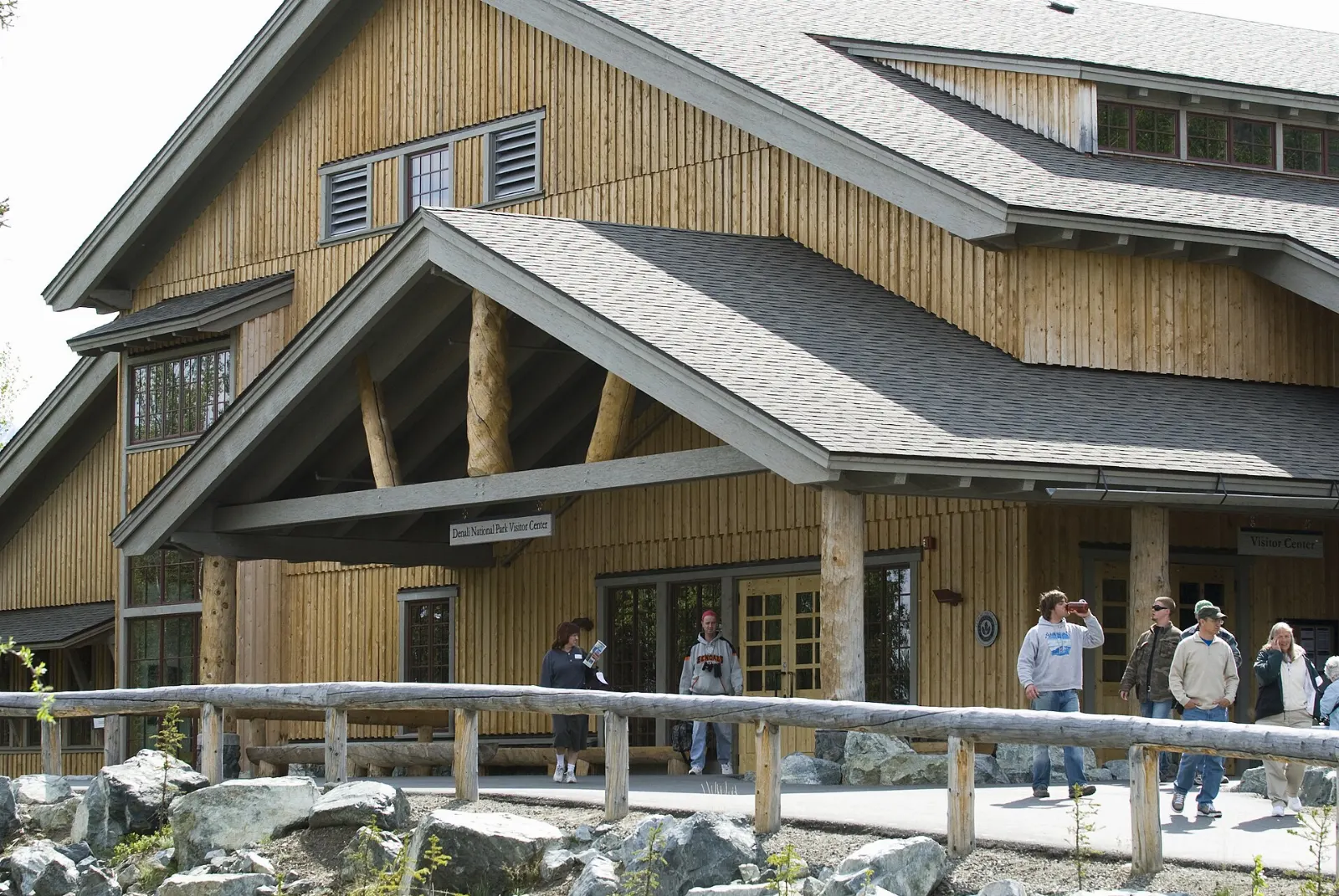
Near Mile 1.5, the Denali Visitor Center is the summer base for the park, with exhibits on the natural and cultural history of the region, the park film and a daily program of ranger walks and talks. It sits beside the railroad depot, so train passengers walk straight in.
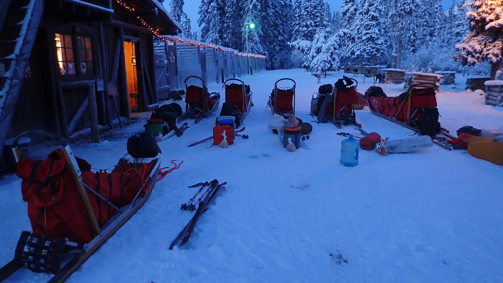
The sled dog kennels
Denali keeps the only sled dog kennel run by the federal government, and the dogs are working staff, not a show. Since the 1920s, teams have hauled supplies and patrolled the park in winter, when motorized travel is restricted in the wilderness.
Horseshoe Lake Trail
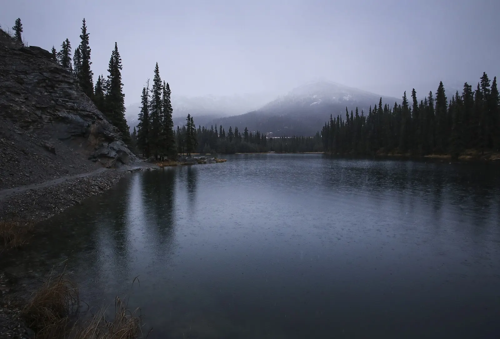
This short trail drops from the park road through spruce and aspen to an oxbow lake left behind by the Nenana River. Beavers are active here, and you can often see their lodges and dams along the shore, along with waterfowl and the occasional moose.
Mount Healy Overlook Trail
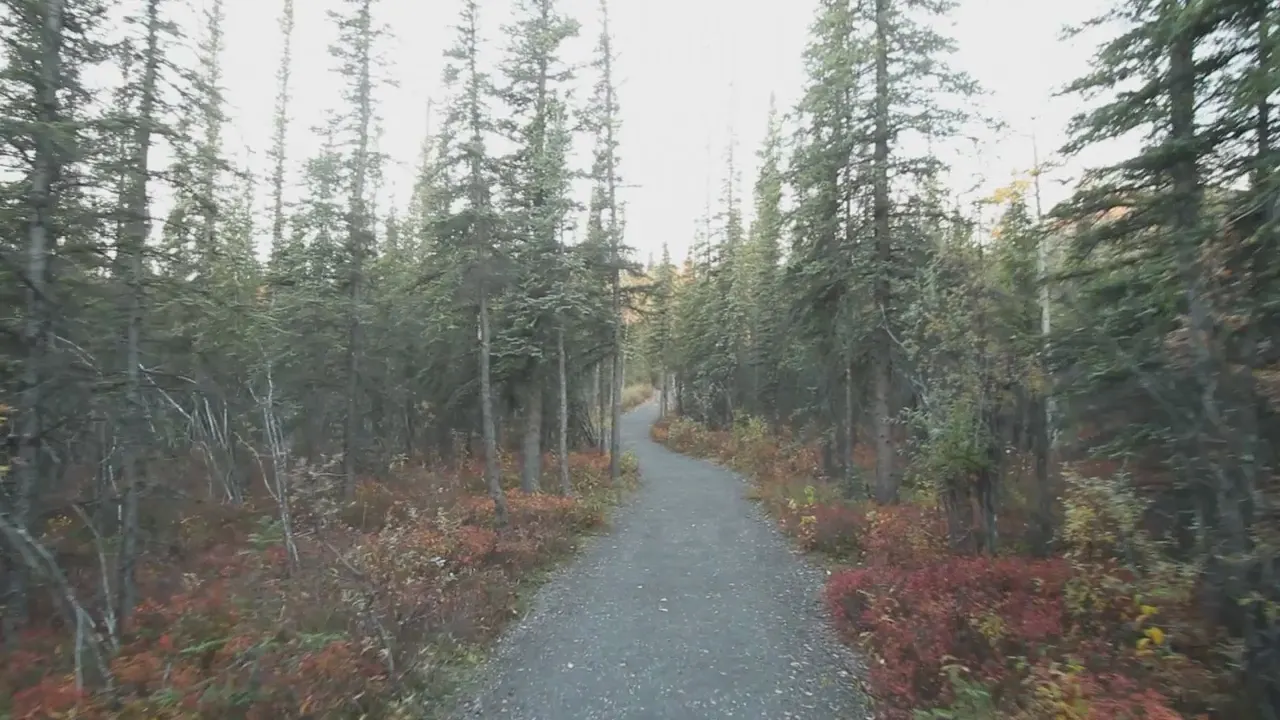
For the best view you can earn from the entrance area, take the Mount Healy Overlook Trail. It climbs steadily through forest and then above treeline to a rocky overlook with wide views over the Nenana River valley, the entrance area and, on clear days, peaks of the Alaska Range.
Along the park road: Savage River to East Fork
Beyond the entrance, the road leaves the forest and enters a wide world of tundra, braided rivers and mountain passes. This is where most wildlife sightings happen.
Savage River
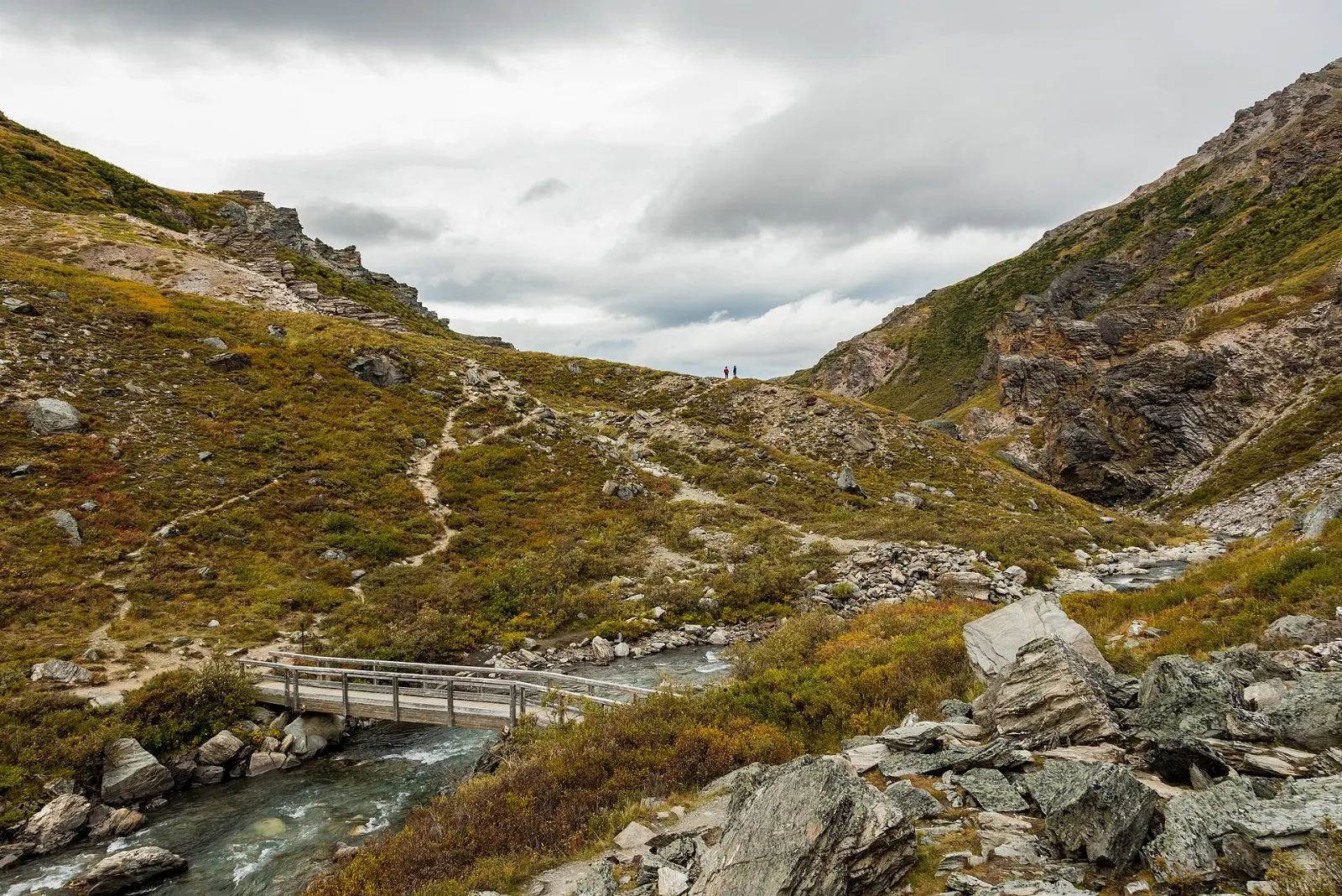
At about Mile 15, the pavement ends and private vehicles must turn around at the Savage River check station. A parking area sits beside the river, and the Savage River Loop follows the water upstream along both banks through a rocky canyon with a footbridge at the far end. It is an easy walk of about an hour.
Sanctuary River and Teklanika River
Past Savage River, the road enters the area served only by buses, bikes and hikers. The Sanctuary River and Teklanika River valleys are the first big landscapes you cross, with wide gravel bars that make natural walking routes. The Teklanika rest stop, around Mile 30, overlooks the braided river and is a common place to spot caribou, moose and bears on the flats.
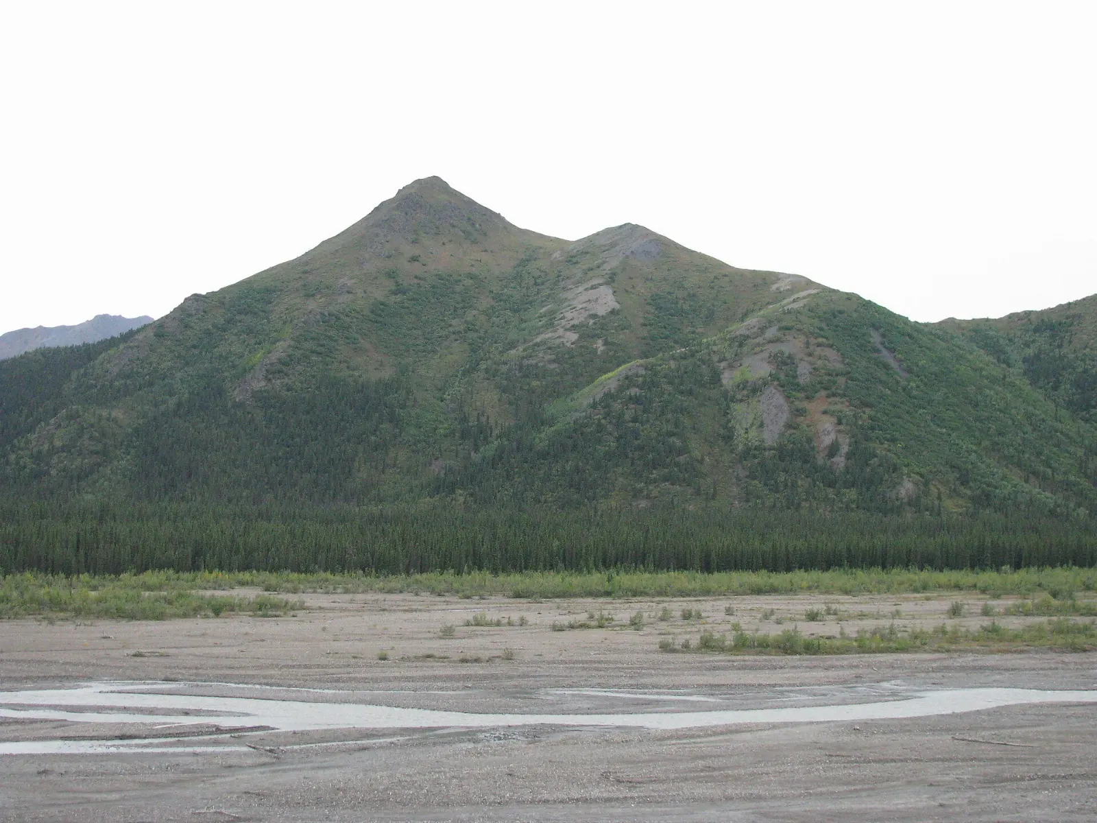
Igloo Creek, Sable Pass and East Fork River
As the road climbs toward Sable Pass, the country opens up into prime bear habitat, and the area around the pass is closed to hiking to protect the animals. Buses stop often here for grizzly sightings. The current end of bus service is the East Fork River area, around Mile 43, where the road ends at the Pretty Rocks landslide.
Beyond the landslide: Polychrome, Eielson and Wonder Lake
Since August 2021, the road beyond about Mile 43 has been closed because of the Pretty Rocks landslide, a slow-moving slide in which ice-rich ground beneath the road at Polychrome Pass shifted faster than crews could repair it. A bridge to carry the road past the slide area has been under construction, and the park has said it intends to reopen the full road in the summer of 2027.
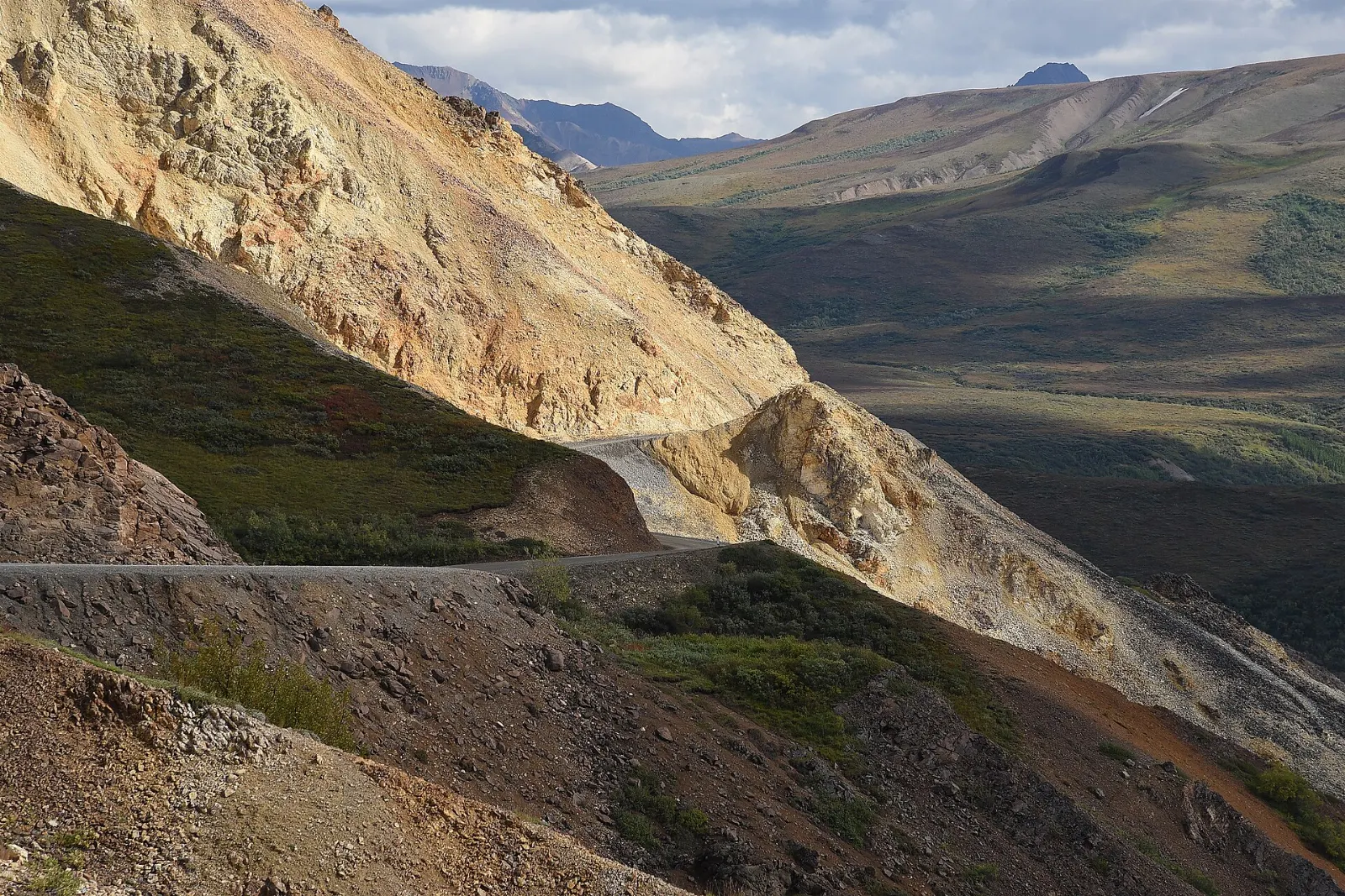
Eielson Visitor Center
At about Mile 66, Eielson Visitor Center faces the mountain across the Thorofare River valley and gives one of the closest roadside views of Denali on a clear day. Short trails leave from the building.
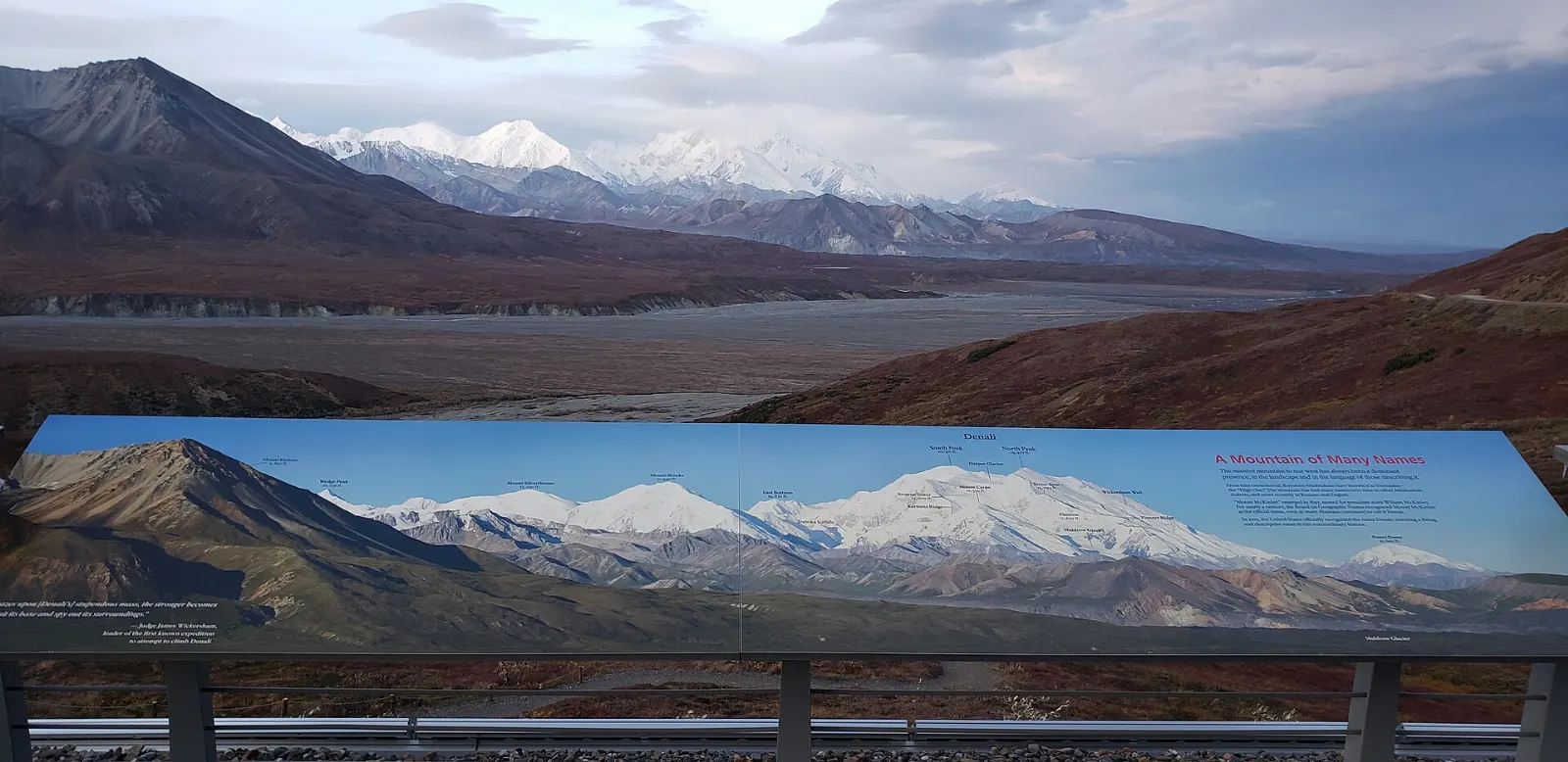
Wonder Lake and Kantishna
Near the far western end of the road, Wonder Lake lies within about 25 miles of Denali, and nearby Reflection Pond is where many famous photographs of the mountain were taken. Kantishna, at the road's end, is an old gold mining district.
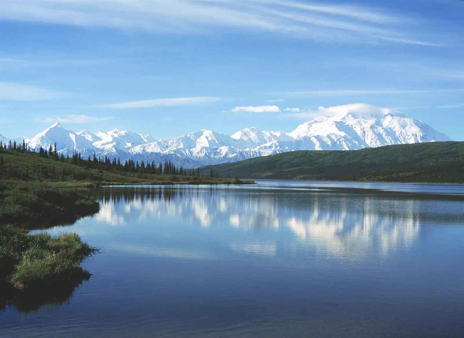
 Planning a trip to Denali National Park?Compare hotels, flights and vacation rentals for Denali National Park on Expedia.Book now
Food and local flavors
There are no restaurants or shops inside the park beyond the entrance area, and the bus trips into the interior last many hours, so packing food is part of every day here.
Popular dishes to try in Denali National Park


Where to stay
Inside the park entrance area. Riley Creek Campground near the entrance is the most convenient place to camp, close to the visitor center, trails and shuttles.
The Canyon. Just north of the entrance along the Parks Highway, the Canyon area has the largest cluster of lodges, cabins and restaurants.
Healy. About a dozen miles north, Healy is the nearest year-round town, with motels, cabins, a grocery store and a more local feel.
Carlo Creek and McKinley Village. South of the entrance, small clusters of cabins and lodges sit along the Nenana River in a quieter setting.
Where to stay in Denali National Park


Best time to visit
The main season runs from late May to mid-September, when the buses operate, the visitor center is open and the trails are free of snow.
Weather is changeable in every month. Summer temperatures range from near freezing to the seventies Fahrenheit, and snow is possible even in July, so pack layers.
Getting there and getting around
By air. The nearest major airports are Ted Stevens Anchorage International Airport, about 240 miles south, and Fairbanks International Airport, about 120 miles north.
By road. The park entrance is on the George Parks Highway, which is paved and open year round.
By train. In summer the Alaska Railroad runs a daily service from both Anchorage and Fairbanks to the Denali depot beside the visitor center.
Inside the park. You can drive your own vehicle only to Savage River.
A suggested itinerary
First day
Arrive by train or car, check in, and head straight to the Denali Visitor Center for the film and exhibits.
Second day
Take an early transit bus to East Fork River. Watch for bears and caribou through the Teklanika and Sable Pass areas, and if the weather is good, get off along the way for a walk on the gravel bars before catching a later bus back.
Third day
Drive or take the shuttle to Savage River for the canyon loop or the Savage Alpine Trail, then spend the afternoon on the Mount Healy Overlook Trail if your legs allow.
Practical tips
- Reserve bus seats, campsites and lodging months ahead for June through August, especially for early morning departures.
- Check the official park website for current road status, the planned reopening beyond the Pretty Rocks area, and current fees.
- Bring food, water and extra layers on every bus trip; there are no services beyond the entrance area other than basic restrooms.
- Stay at least 300 yards from bears and 25 yards from other wildlife, and never feed or approach animals.
- Carry bear spray when hiking, learn how to use it, and tell your bus driver before boarding so it can be stored safely.
- Pack a head net and insect repellent for June and July, when mosquitoes are thick near water and in low tundra.
Find local businesses in Healy on WiserMap
Healy is the nearest year-round town to the park entrance, with lodging, groceries, fuel, guiding outfits and places to eat.