Big Bend National Park sits where the Rio Grande makes its great curve along the border between Texas and Mexico. Inside its boundaries you will find three worlds in one: the Chihuahuan Desert, the cool, forested Chisos Mountains and the river, which has carved deep canyons through limestone cliffs.
AT A GLANCE
Best time
Late fall through early spring; avoid desert hiking in summer heat.
How long
Three to four days lets you see the west, the mountains and the river.
Getting there
Fly into Midland or El Paso and drive; no public transit reaches the park.
Why visit Big Bend National Park
Big Bend protects more than 800,000 acres, an area bigger than the state of Rhode Island, and roughly 118 miles of the Rio Grande form its southern border.
Big Bend is also one of the darkest places in the continental United States, and it is certified as an International Dark Sky Park. On a clear moonless night, the Milky Way casts faint shadows.
Above all, Big Bend rewards those who take their time. Distances between highlights are long, services are few and cell service is patchy, but that is what keeps the park quiet and wild.
The west side and Santa Elena Canyon
The western half of the park is reached by the Ross Maxwell Scenic Drive, which ends at the park's most famous viewpoint.
Ross Maxwell Scenic Drive
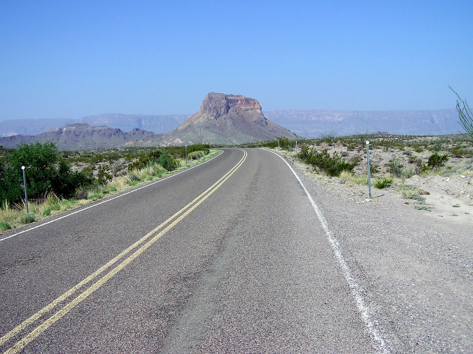
This paved road runs about thirty miles from the Santa Elena Junction near the Chisos Mountains down to the Rio Grande at Castolon and Santa Elena Canyon. Stops along the way include the Sam Nail Ranch, the Homer Wilson Ranch overlook, Sotol Vista, Tuff Canyon and the Castolon Historic District.
Mule Ears and Tuff Canyon
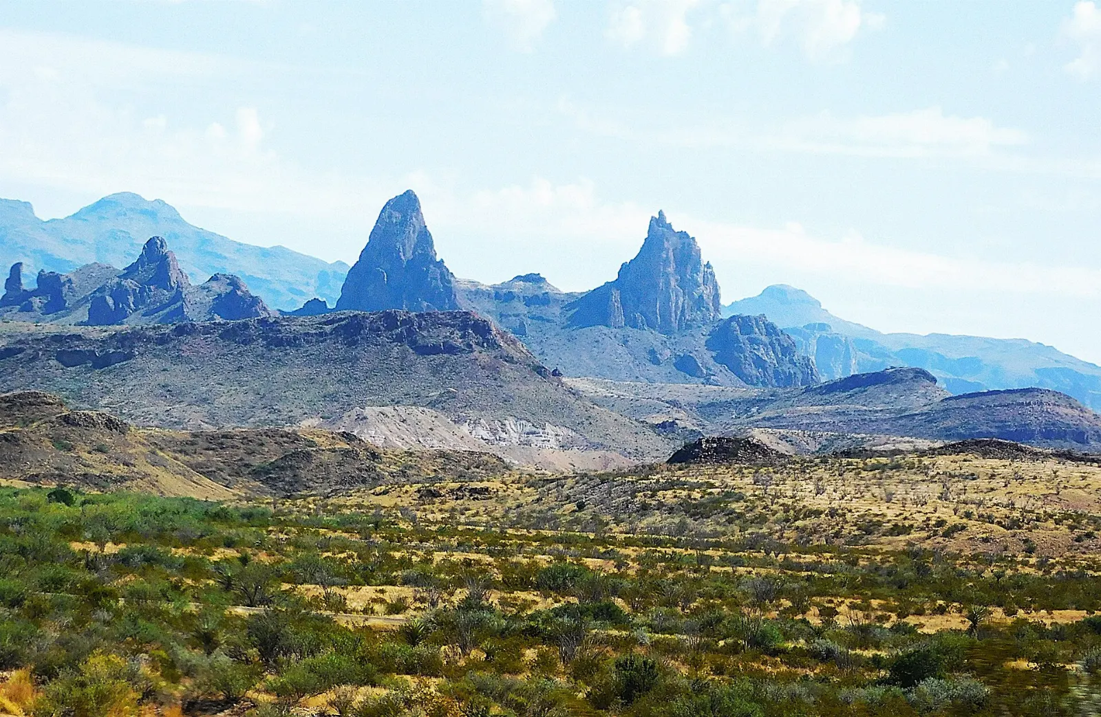
The Mule Ears Viewpoint looks out to a pair of volcanic spires that resemble a mule's ears, and a trail of about three and a half miles each way leads across the desert to a small spring near their base.
Santa Elena Canyon Trail
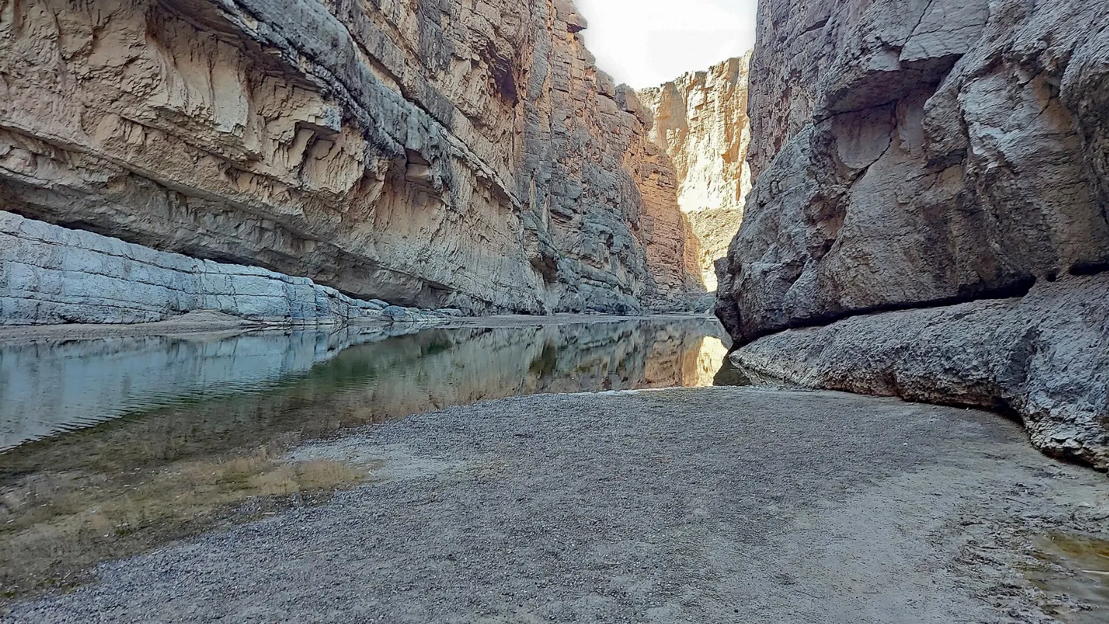
At the end of the drive, the Rio Grande emerges from a narrow canyon with walls about fifteen hundred feet high.
The Chisos Mountains
The Chisos Mountains rise in the middle of the park, entirely within its boundaries. The Chisos Basin, a bowl at around 5,400 feet, is the hub for hiking and is often fifteen to twenty degrees cooler than the desert floor.
Chisos Basin
A steep, winding road climbs into the basin, where you will find a visitor center, a campground, a camp store and the park's only lodge.
Window Trail
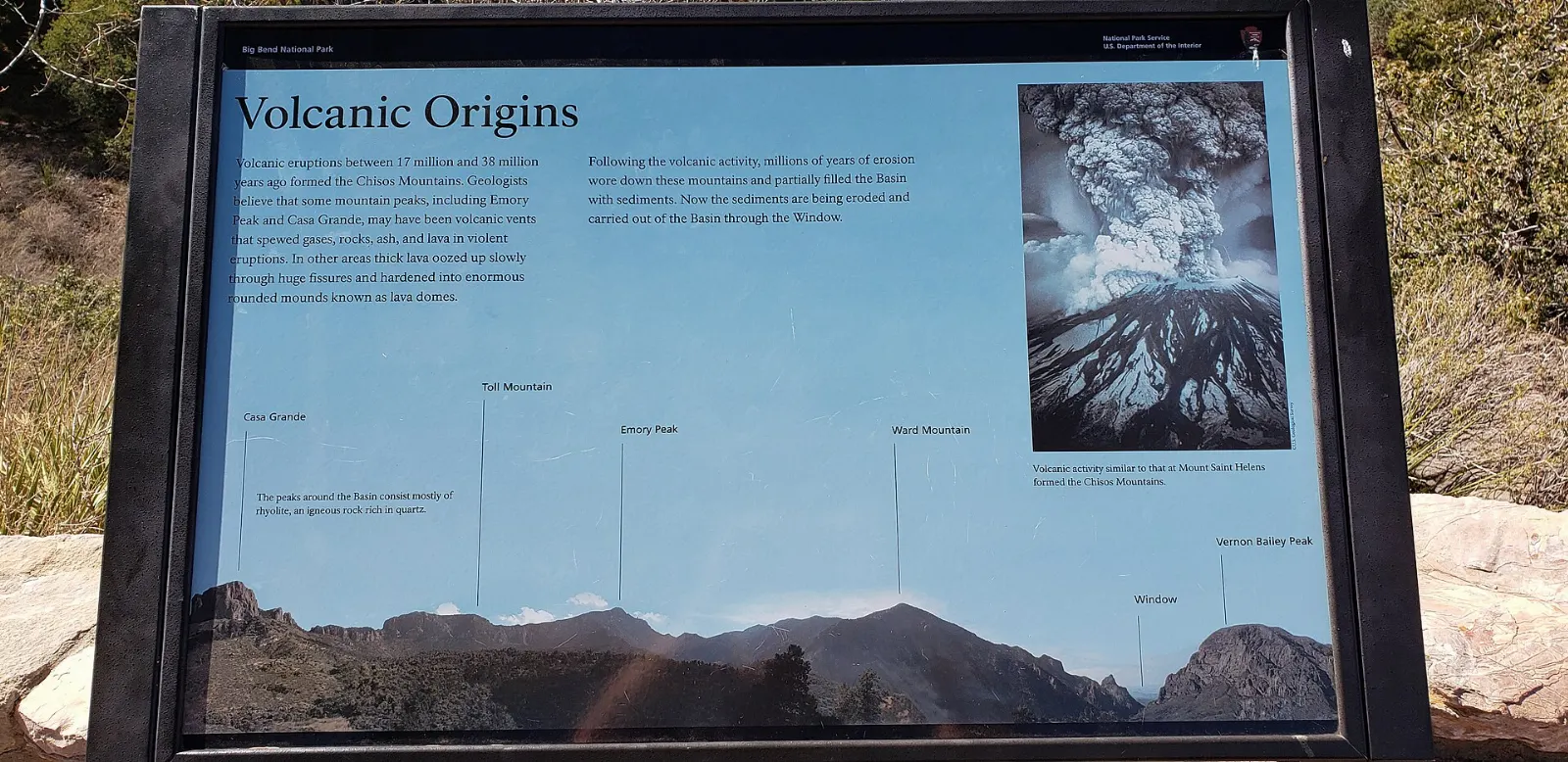
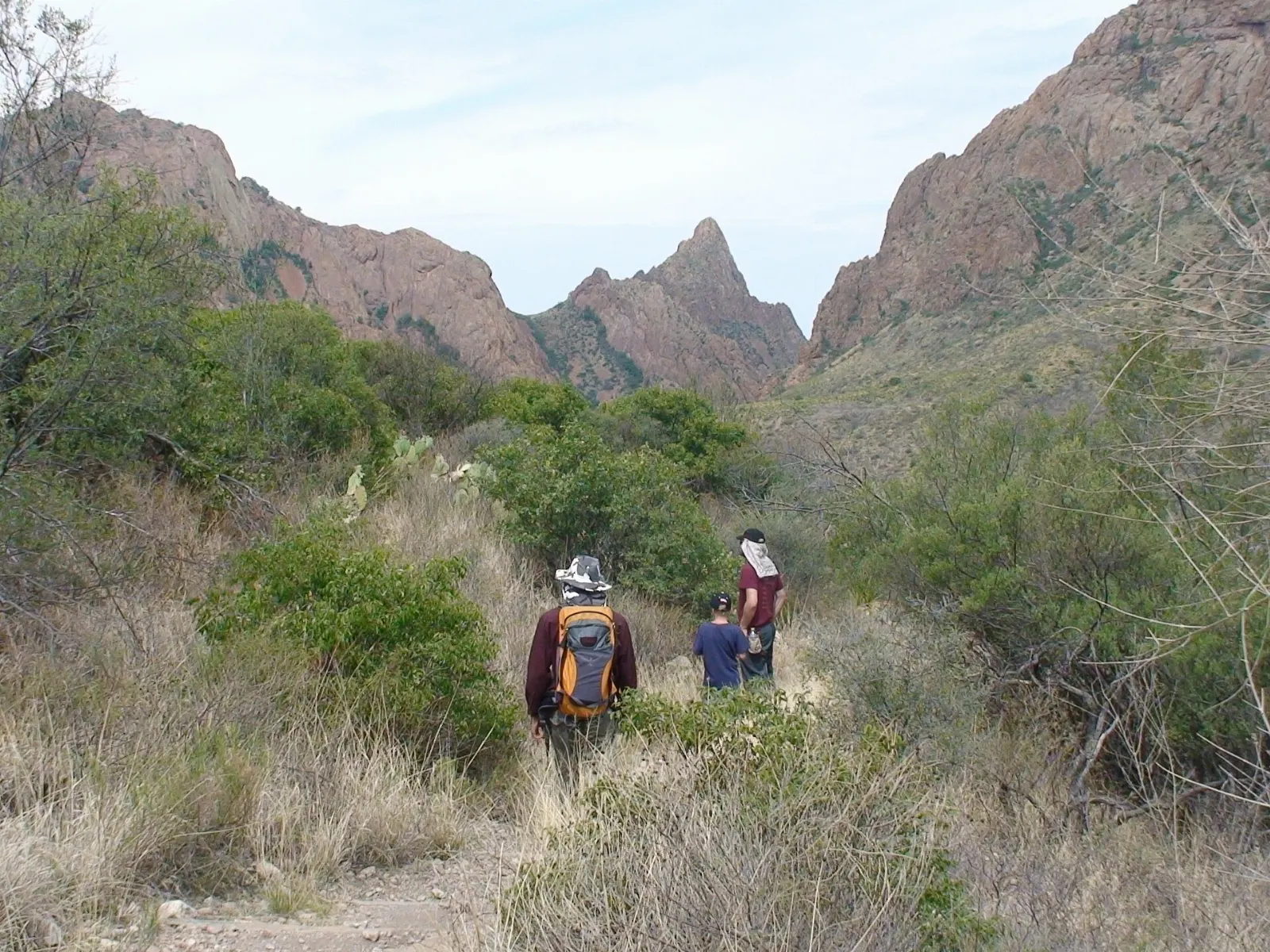
The Window Trail descends from the basin through a shady canyon to the Window, a narrow pour-off where water drains out of the mountains. The rock at the edge is slick and the drop is sheer, but the framed view of the desert is one of the park's classic sights.
Lost Mine Trail
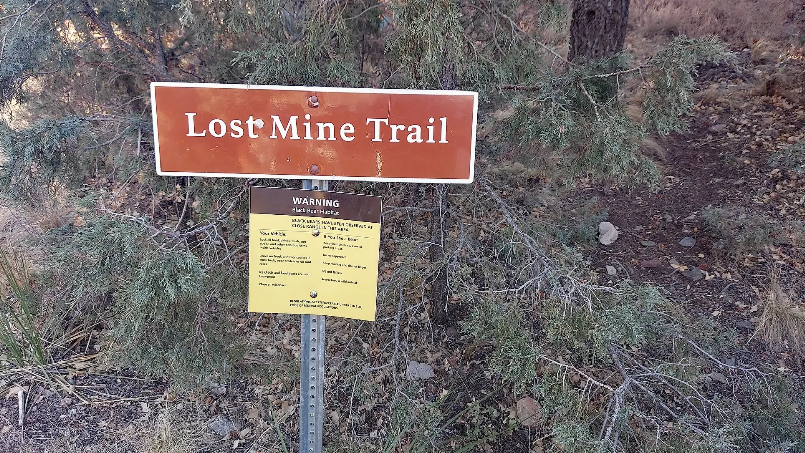
Many visitors consider this the best day hike in Big Bend. The trail climbs nearly five miles round trip from a trailhead on the Basin Road, passing through oak and juniper woodland to a rocky ridge with views over Pine Canyon, Casa Grande and the Sierra del Carmen in Mexico.
Emory Peak and the South Rim
Emory Peak is the highest point in the Chisos Mountains, and a spur off the Pinnacles Trail leads to its summit with a short rock scramble at the top.
Grapevine Hills and Balanced Rock
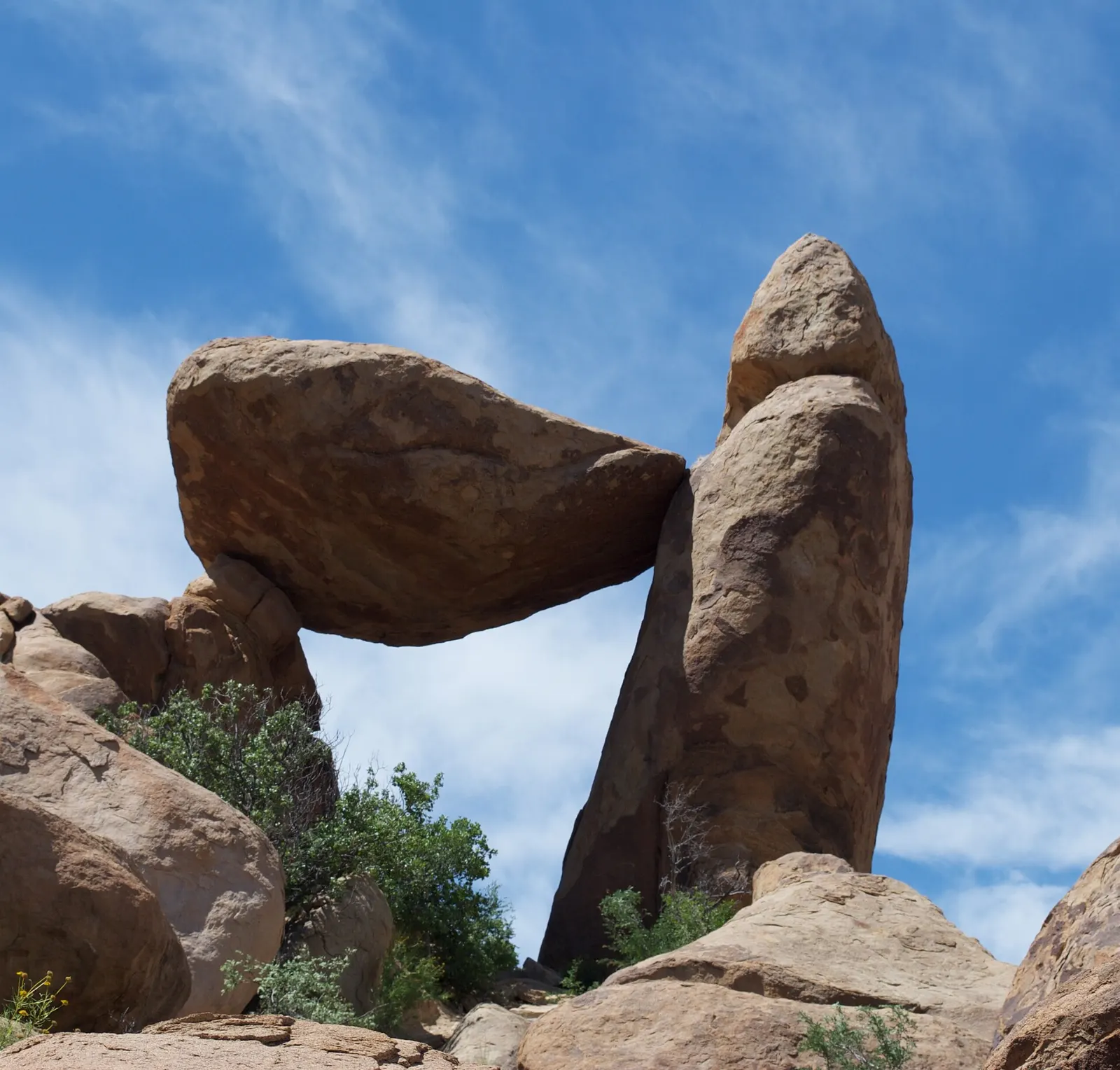
North of the mountains, a graded dirt road leads to the Grapevine Hills trailhead. The trail follows a sandy wash for about a mile, then scrambles up boulders to Balanced Rock, a large stone perched above a window in the rocks.
The Rio Grande and the east side
The eastern side of the park follows the river past cottonwood groves, historic sites and the deep gorge of Boquillas Canyon.
Boquillas Canyon
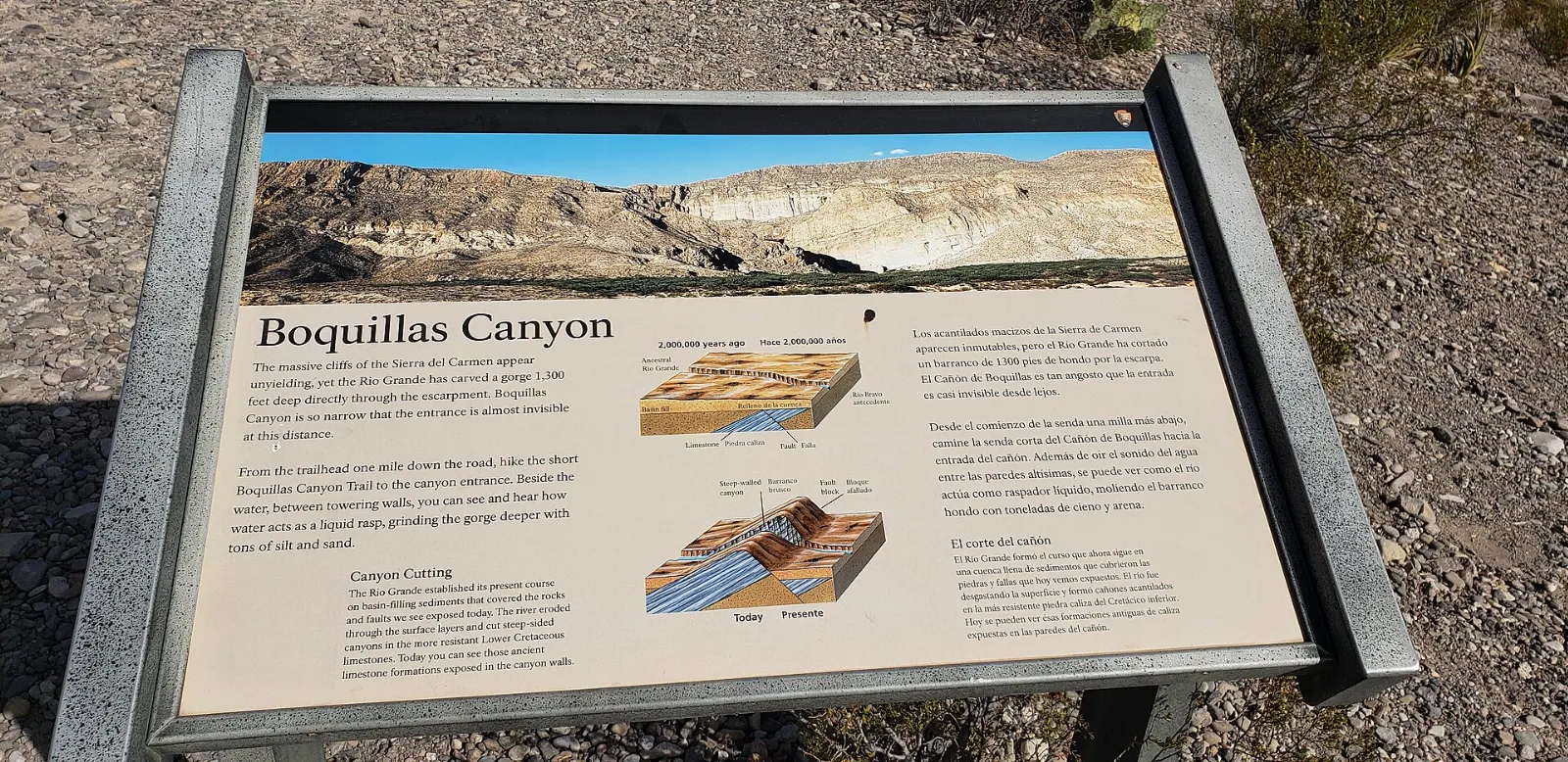
The Boquillas Canyon Trail climbs over a small hill and then descends to the river at the mouth of the canyon, where a sandy beach leads into the gorge. The round trip is about one and a half miles.
Hot Springs Historic District
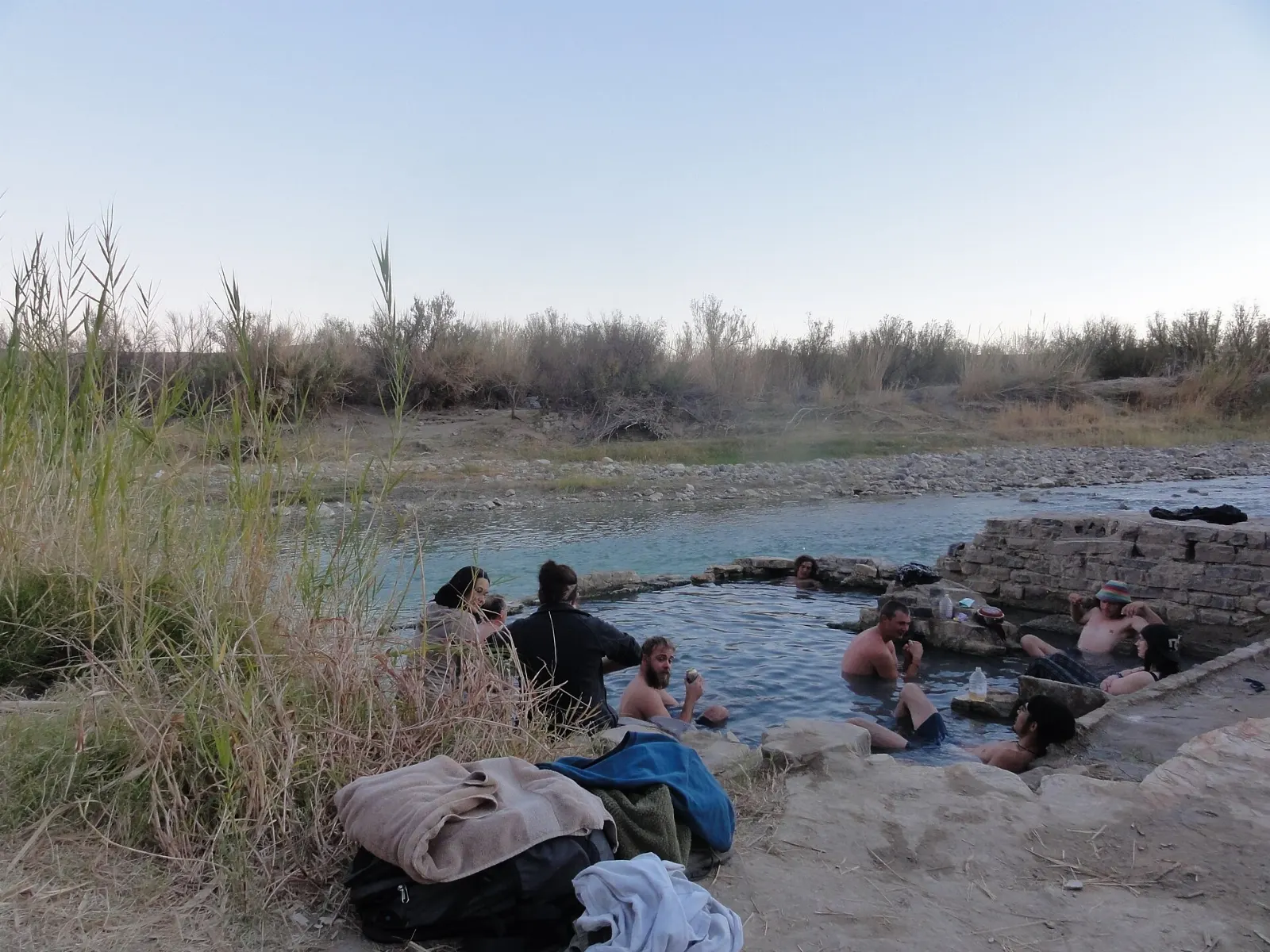
A narrow gravel road leads to the ruins of a resort that operated here in the early twentieth century. A short trail passes the old post office and store, pictographs on the cliff and the foundation of a bathhouse, where a spring of water warm enough for a soak flows into a stone tub beside the river.
Rio Grande Village and Boquillas, Mexico
Rio Grande Village has a campground, a store and a short nature trail that ends on a hill with views over the river at sunset.
 Planning a trip to Big Bend National Park?Compare hotels, flights and vacation rentals for Big Bend National Park on Expedia.Book now
Terlingua and beyond the park
Terlingua Ghost Town
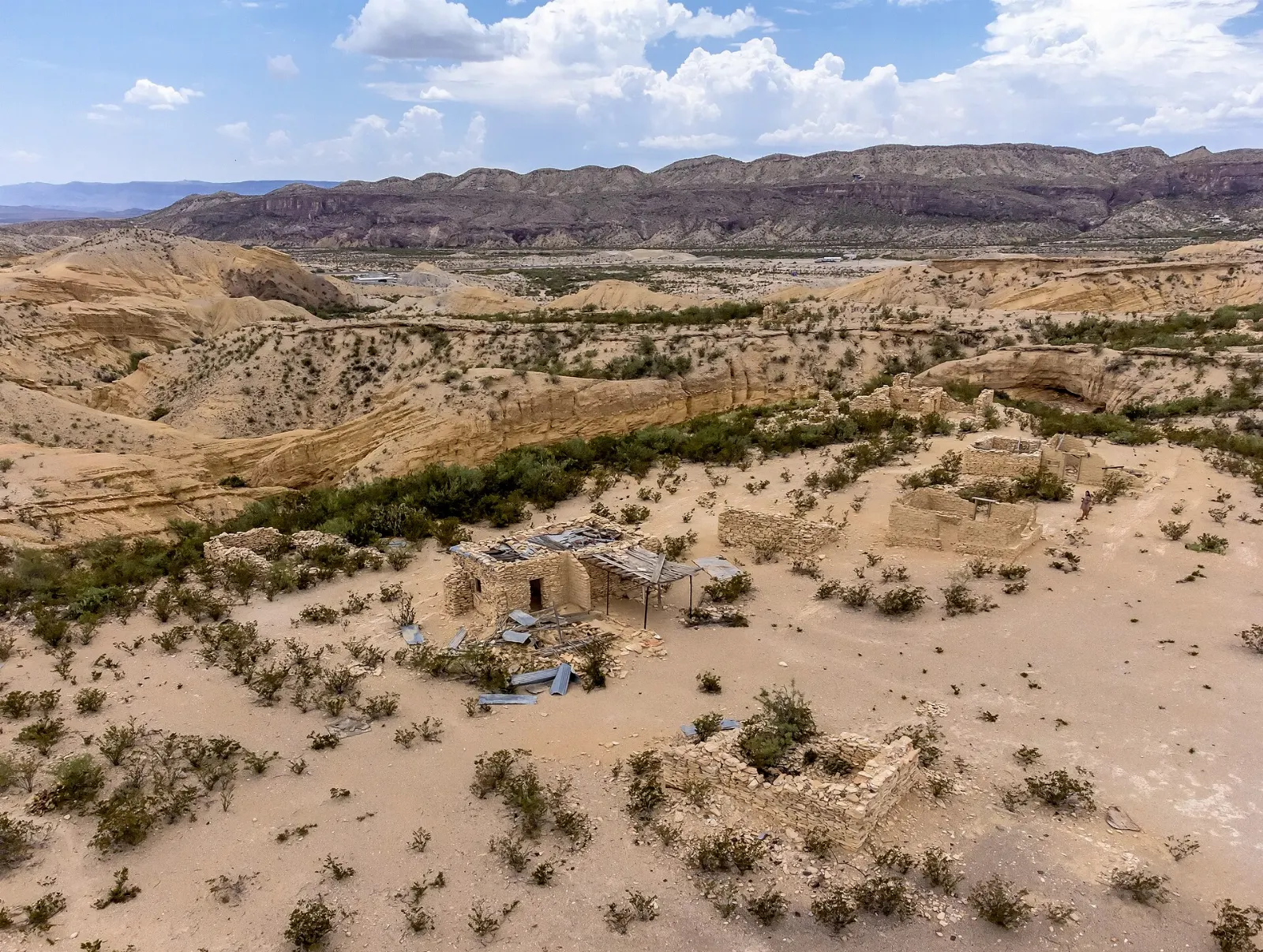
Just west of the park, Terlingua grew up around quicksilver mines in the early twentieth century and was largely abandoned when mining ended. Today its stone ruins, historic cemetery and old trading post share space with shops, restaurants and a small, close-knit community.
River Road and Big Bend Ranch State Park
West of Lajitas, FM 170, often called the River Road, follows the Rio Grande through Big Bend Ranch State Park toward Presidio, climbing steep hills with views of the river canyon.
Food and local flavors
Dining inside the park is limited, so plan your meals. Camp stores sell groceries and basics, but options are limited and prices are higher than in town.
In Terlingua and Study Butte you will find a handful of casual restaurants serving Tex-Mex plates, burgers, barbecue and hearty breakfasts, along with a few coffee shops.
Popular dishes to try in Big Bend National Park


Where to stay
The only lodging inside the park is the lodge in the Chisos Basin, which is in high demand.
The park also has developed campgrounds at the Chisos Basin, Rio Grande Village and Cottonwood near Castolon, plus primitive roadside sites for which you need a backcountry permit.
Outside the park, Terlingua and Study Butte offer motels, vacation rentals, quirky cabins and campgrounds just minutes from the west entrance, ideal for the west side and Santa Elena Canyon. Lajitas suits travelers who want resort-style comfort and golf.
Where to stay in Big Bend National Park


Best time to visit
The most popular season runs from late October through April, when desert days are mild and nights are cool to cold.
Summer, from May through September, is very hot along the river and in the desert, where temperatures often exceed one hundred degrees Fahrenheit.
Getting there and getting around
Big Bend is remote. The nearest major commercial airports are Midland International Air and Space Port, about four hours by car from park headquarters, and El Paso International Airport, about five hours away.
Inside the park, a car is essential. Panther Junction, home to the main visitor center, sits roughly in the middle, and drives between the major areas can take an hour or more.
A suggested itinerary
First day
Enter from the west and stop at a visitor center for trail conditions. Drive the Ross Maxwell Scenic Drive, stopping at Sotol Vista, the Mule Ears Viewpoint and Tuff Canyon.
Second day
Rise early for the Lost Mine Trail, then continue into the Chisos Basin to hike the Window Trail or walk the Window View Trail at sunset.
Third day
Drive east to Rio Grande Village.
Practical tips
- Book lodging and campgrounds months ahead for holidays and spring break.
- Fill your fuel tank and carry extra water and food every time you drive in.
- Download offline maps; cell coverage is limited across most of the park.
- Bring a passport or passport card if you plan to visit Boquillas del Carmen.
- Carry at least a gallon of water per person per day when hiking in warm weather.
- Watch for mountain lions and black bears in the Chisos; store food in bear boxes.
Find local businesses in Terlingua on WiserMap
Terlingua is the main gateway town on the park's west side, with places to eat, sleep, refuel and pick up supplies before heading into the backcountry.