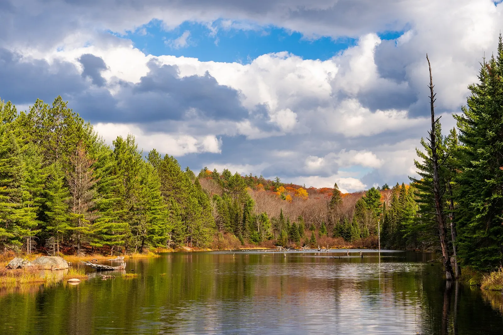
Algonquin Provincial Park is Canada's oldest provincial park and one of Ontario's most visited wild places, with thousands of lakes, pine ridges, bogs and rivers. It sits between Georgian Bay and the Ottawa River and lies less than a day's drive from Toronto, Ottawa and Montreal.
AT A GLANCE
Best time
Late September and early October for fall colour, or summer for paddling once the worst bugs have eased.
How long
Two days cover the Highway 60 corridor, and three or more add canoe routes and the northern edge.
Getting there
Drive Highway 60 from the West or East Gate, or take a seasonal bus from Toronto.
Why visit Algonquin Provincial Park
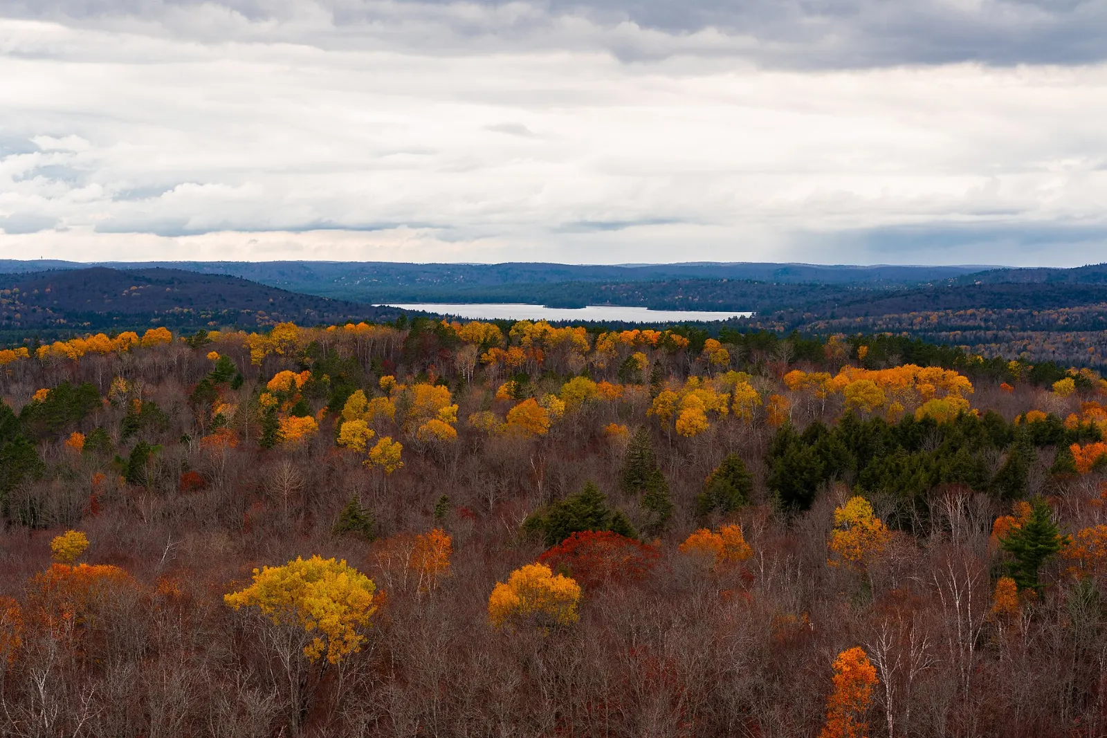
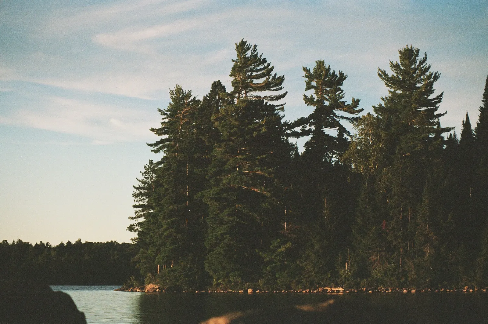
Algonquin was established in 1893 and now covers about 7,600 square kilometres, with more than 2,400 lakes and 1,200 kilometres of streams and rivers. It sits where northern conifer forest meets southern hardwoods, so you see pine, maple, birch and hemlock in the same day.
Moose are the park's best-known animal, wolves live at their southern limit in Ontario, and black bears are present throughout.
The park was named a National Historic Site in 1992, partly for its role in inspiring artists and in developing park management and visitor interpretation.
Highway 60 sights
Algonquin Visitor Centre
Start here for park information, permits and maps. Exhibits explain the history of the park, and there is a bookstore, a restaurant and an observation deck.
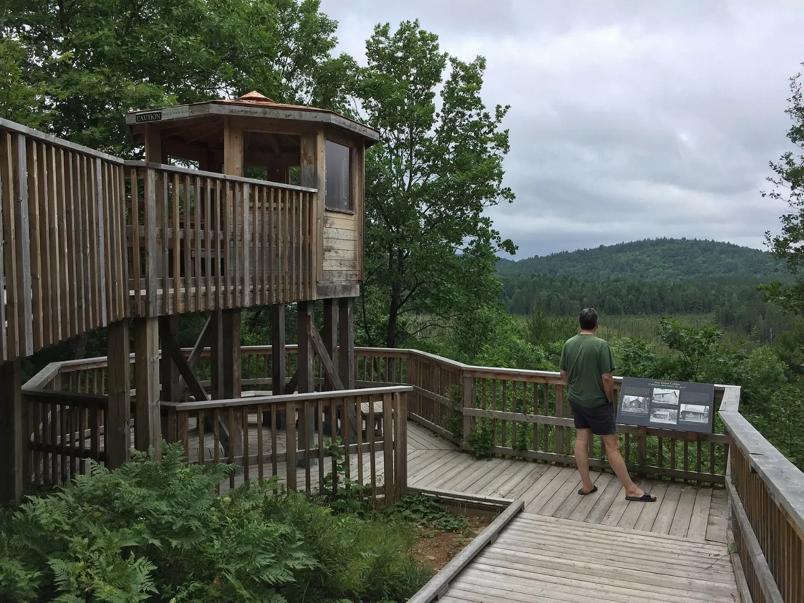
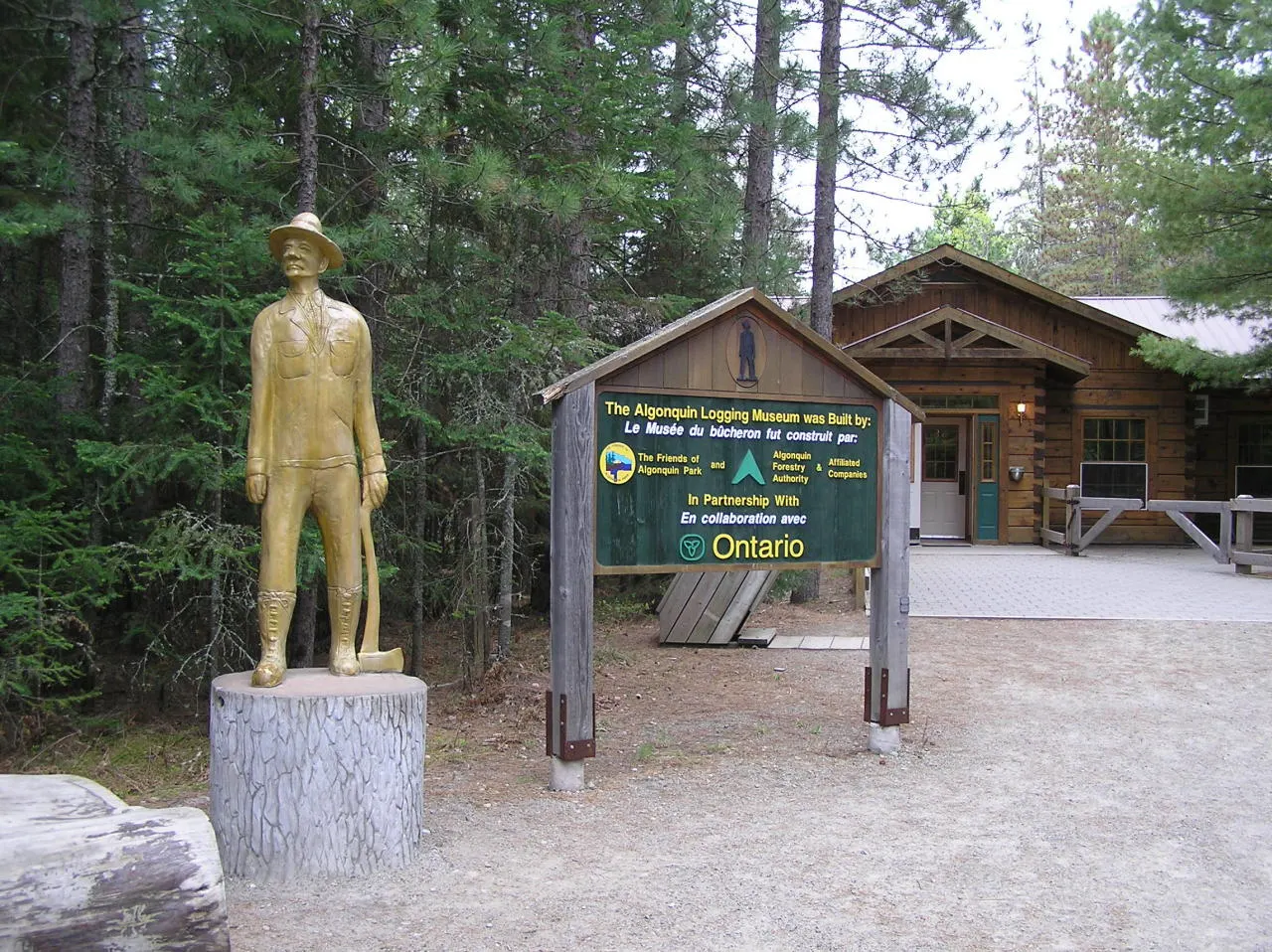
Algonquin Logging Museum
An outdoor pathway and a reception building tell the story of logging in the park, with historic and modern equipment on display.
Algonquin Art Centre
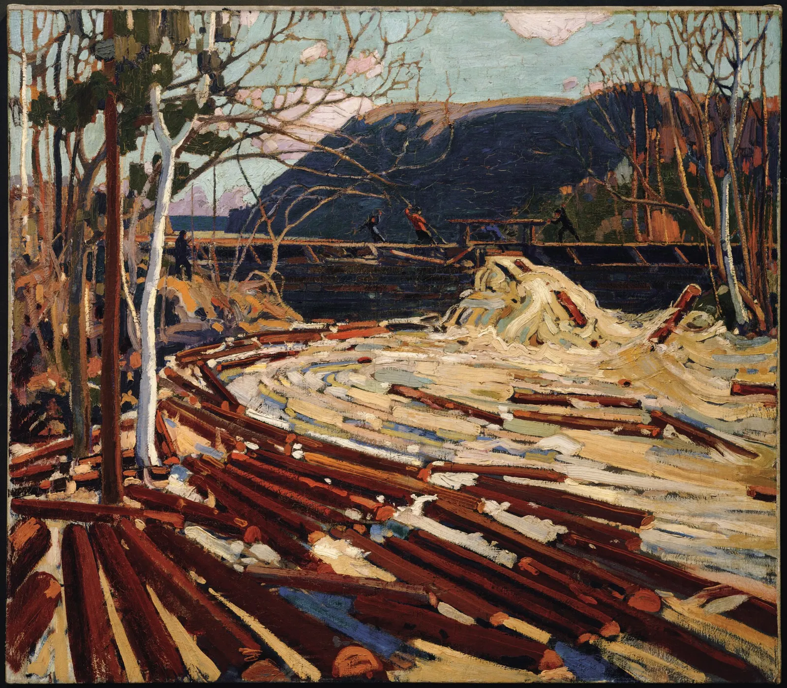
The park has long drawn Canadian artists, and the Art Centre focuses on art that highlights wilderness, wildlife and nature. It is open from June to October, so check dates before you go.
Short hikes along the corridor
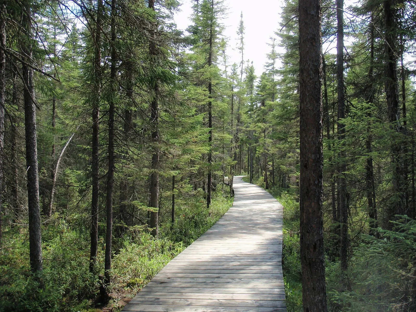
Spruce Bog Boardwalk
This easy 1.5 kilometre flat loop uses sections of wooden boardwalk to cross Sunday Creek and enter a bog. It suits families and birdwatchers.
Big Pines Trail
An easy 3 kilometre loop runs through an area logged in the 1880s. The white pines that remain have matured, and it is one of the best preserved old growth white pine forests in the park.
Centennial Ridges
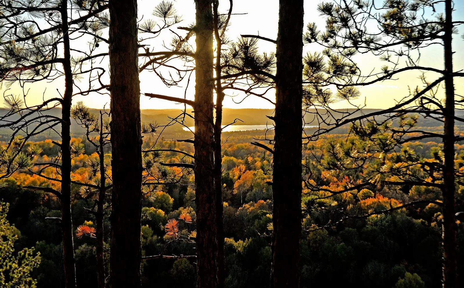
A strenuous 10 kilometre loop gives a workout and views nearly 100 metres above Whitefish Lake along several long ridges. A side trail leads to Racoon Lake Campground.
Lakes, canyon and crater
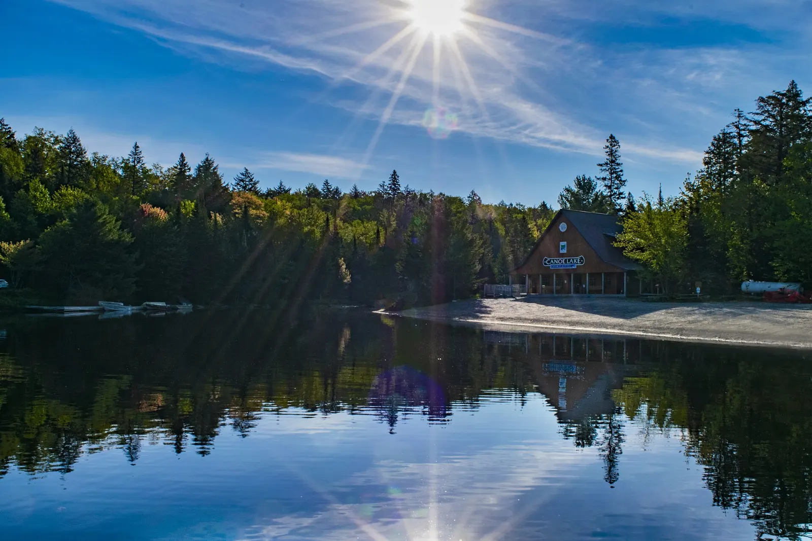
Canoe Lake
This large, busy lake on Highway 60 connects to several canoe routes and has services nearby. Tom Thomson drowned here in the summer of 1917, and a cairn stands on the shore opposite the ghost town of Mowat.
Lake Opeongo
The park's largest lake has rentals and access off Highway 60. Its open water gives scenic paddling but little shelter from strong summer winds, so many paddlers leave early or use a water taxi.
Barron Canyon
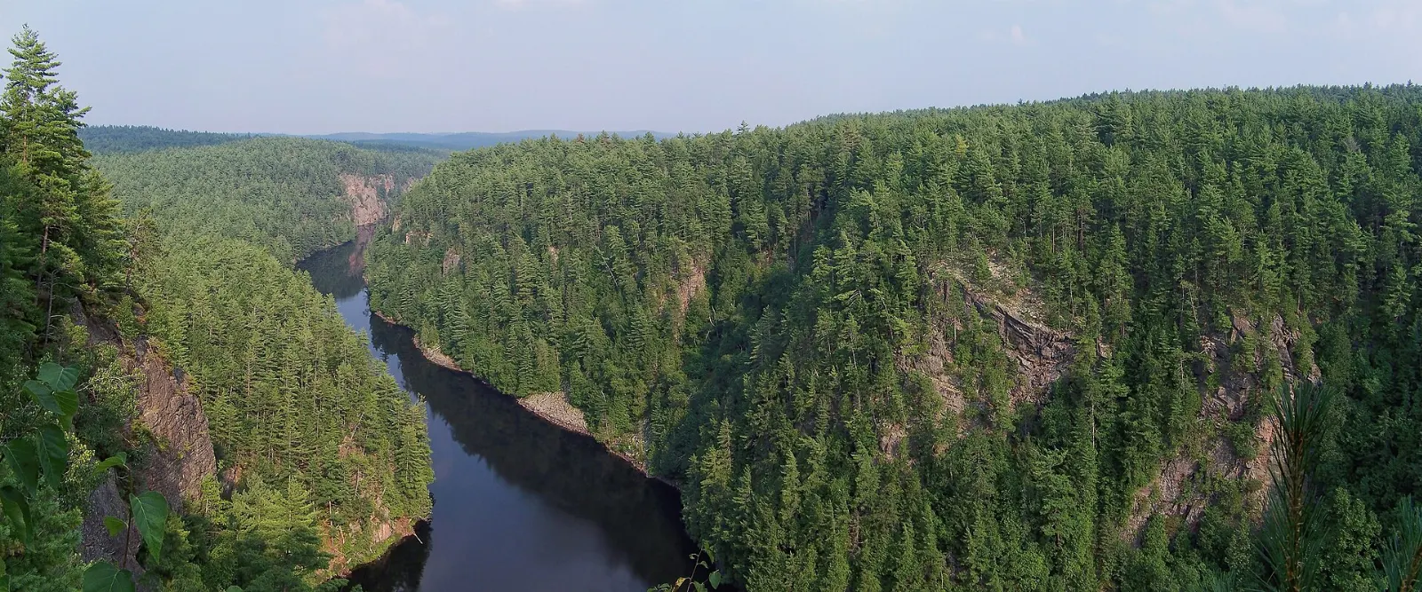
Reached from the northern side of the park, a short 1.5 kilometre loop leads to cliffs above Barron Canyon and the Barron River. The cliffs are not fenced, so keep children close and stay back from the edge.
Brent Crater
About 450 million years ago a large meteorite made a bowl in the Canadian Shield here.
The old railway bed
The abandoned Ottawa, Arnprior and Parry Sound Railway bed crosses the southern part of the park and passes remnants of old train stations, logging depots and bridges, and even the remains of a derailment from the 1930s.
 Planning a trip to Algonquin Provincial Park?Compare hotels, flights and vacation rentals for Algonquin Provincial Park on Expedia.Book now
Food and local flavors
Eating in the park is simple. The Visitor Centre has a cafeteria, and the store at Lake of Two Rivers serves coffee, burgers, pulled pork poutine and Kawartha ice cream.
Campers should bring their own food. Ontario staples make good picnic fare: maple syrup, made from sap tapped in late winter and early spring, butter tarts filled with butter, brown sugar and egg, and peameal bacon, an unsmoked pork loin rolled in cornmeal.
Popular dishes to try in Algonquin Provincial Park


Where to stay
The Highway 60 corridor is the classic base, with drive-in campgrounds such as Canisbay Lake and Kearney Lake, plus yurts and a few lodges that serve meals.
Whitney is a small town about 6 kilometres from the East Gate with a handful of motels and cabins. It suits travellers arriving from Ottawa or Bancroft.
Huntsville lies about 43 kilometres from the West Gate, with motels along Highway 11 and bigger supermarkets.
Where to stay in Algonquin Provincial Park


Best time to visit
Ice-out on the lakes comes between April and mid-May, and the water stays dangerously cold for weeks. Black flies peak in May and June and mosquitoes until the end of July, so summer paddling is easier later in the season.
Fall begins in early September, and colours peak from September to mid-October. Nights get cold, and rain is common.
Getting there and getting around
Highway 60 is the only major road through the park, running about 64 kilometres inside the boundary. The West Gate is about 43 kilometres from Huntsville, 118 from Parry Sound and 168 from Barrie. The East Gate is about 70 kilometres from Bancroft and 244 from Ottawa.
Seasonal Parkbus service links Toronto to the Highway 60 corridor, and Ontario Northland buses serve Huntsville, South River and Pembroke. Once inside, a vehicle is the best way to see the corridor, and canoes are the way into most of the rest.
A suggested itinerary
First day
Enter by the West Gate, stop at the Visitor Centre and the Logging Museum, then walk the Spruce Bog Boardwalk and Big Pines Trail.
Second day
Hike Centennial Ridges early, visit the Art Centre in the afternoon and spend the evening listening for wolves and watching for moose along the highway.
Third day
Drive the north side to Barron Canyon and Brent Crater, or rent a canoe or take a water taxi on Lake Opeongo.
Practical tips
- Buy or reserve your day-use or camping permit before you arrive, and keep a printed copy.
- Carry a canoe route map, because other maps do not show portages, and wear a life jacket on the water.
- Store food and scented items safely, since black bears are drawn to food, and never feed wildlife.
- Drive carefully at dusk and dawn when moose stand near the highway.
- Boil, filter or treat lake water before drinking it.
- Phone service is not reliable, so download directions and tell someone your plans.