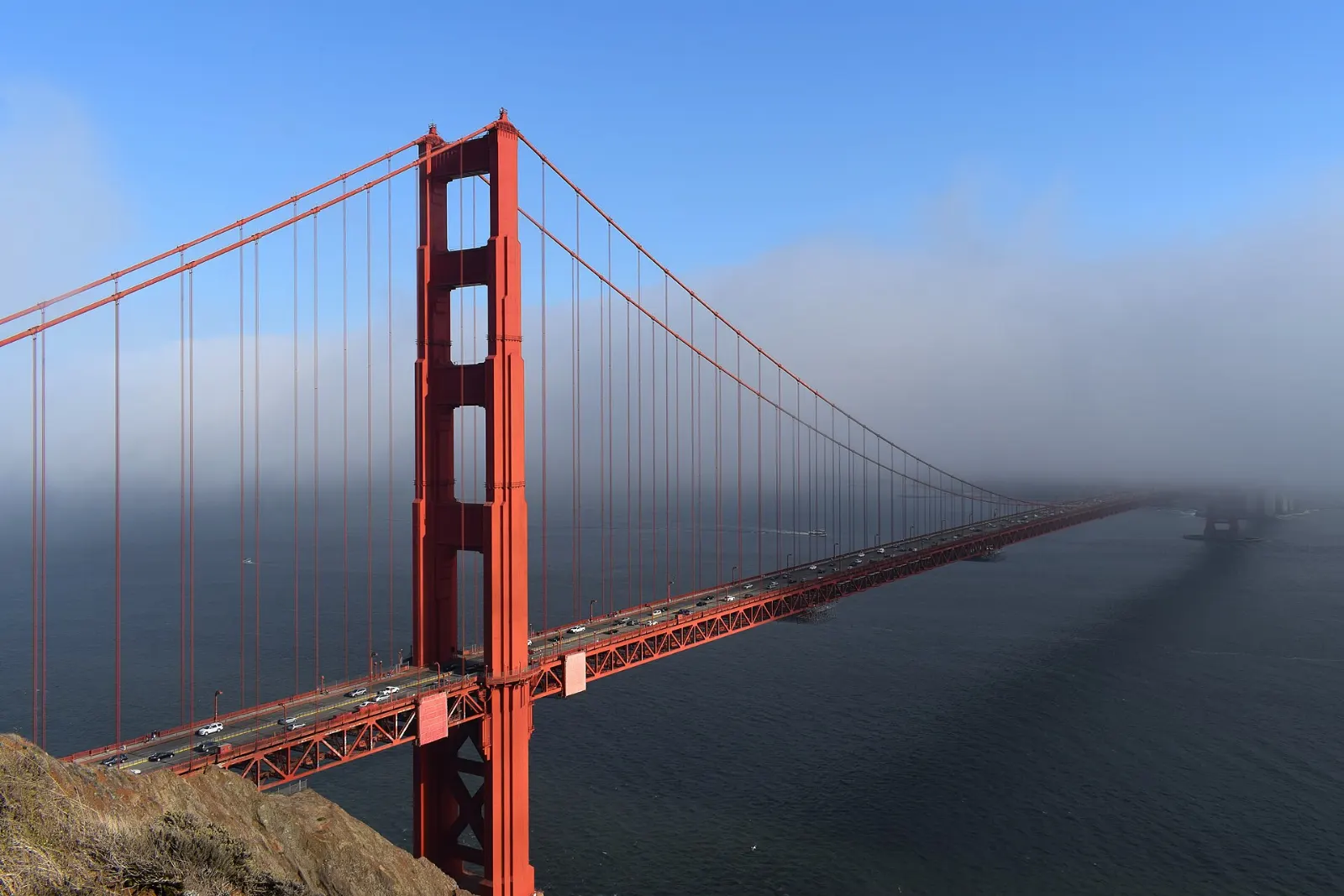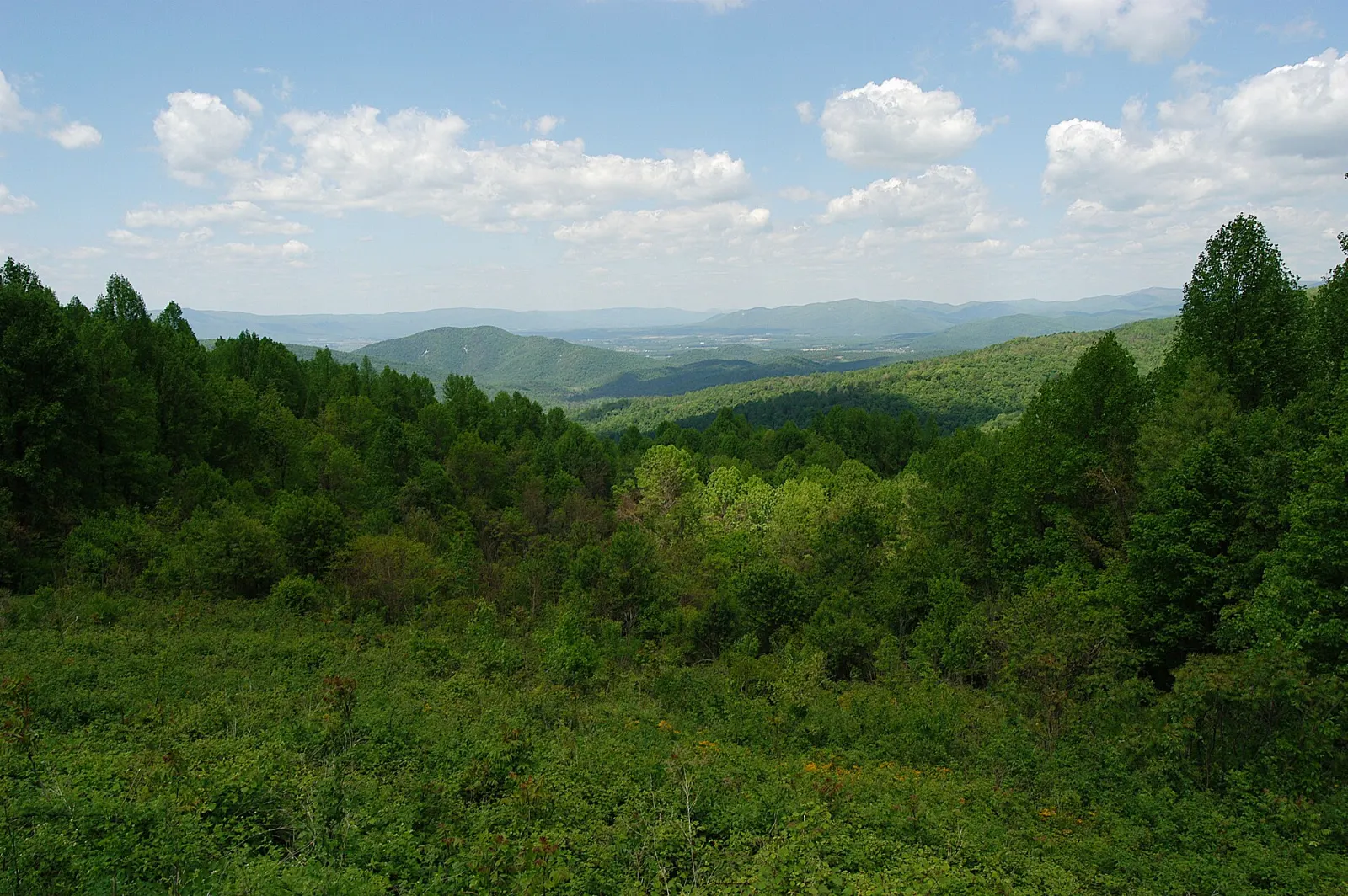
Shenandoah National Park protects a long, narrow stretch of the Blue Ridge Mountains in northern Virginia, with the Shenandoah Valley spreading out to the west and the Piedmont rolling away to the east.
AT A GLANCE
Best time
Mid to late October for foliage; May and June for wildflowers and waterfalls.
How long
Two to three days to drive the full length and hike several trails.
Getting there
Drive in at Front Royal, Thornton Gap near Luray, Swift Run Gap near Elkton or Rockfish Gap near Waynesboro.
Why visit Shenandoah National Park
Shenandoah offers big mountain scenery without a big expedition. Skyline Drive has around seventy-five overlooks, so even a slow drive delivers wide views over the valley and the ridges beyond.
The park also tells a human story. Established in 1935, it was created from land that had been farmed and logged for generations, and hundreds of families were moved out to make way for it. Stone walls, old roads and family cemeteries still appear along the trails.
The North District: Front Royal to Thornton Gap
Skyline Drive uses concrete mileposts that start at zero at Front Royal and run to 105 at the southern end, and every park map uses them, so they are the easiest way to plan.
Dickey Ridge Visitor Center and Fox Hollow Trail
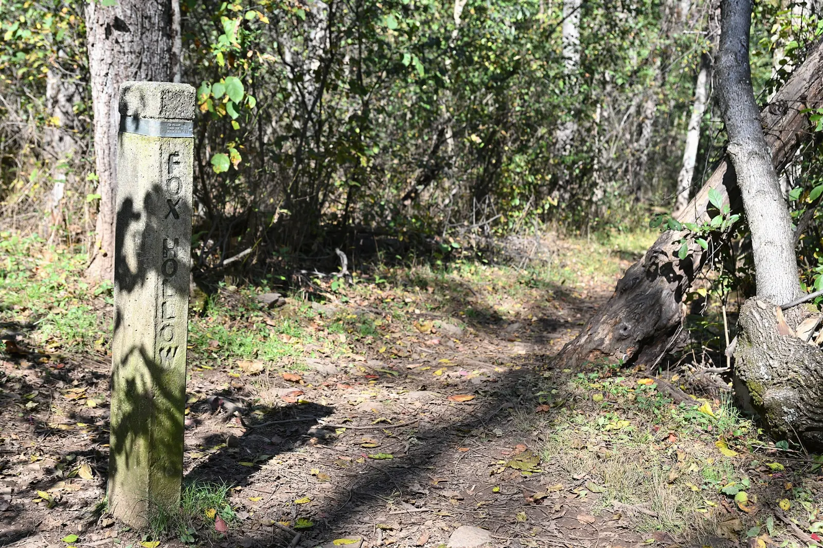
Near milepost 4.6, Dickey Ridge Visitor Center is the first stop for most visitors arriving from the north, with exhibits, an orientation film, maps and backcountry permits. Across the road, the Fox Hollow Trail makes an easy loop of a little over a mile past the stone walls and family cemetery of the Fox family, who farmed here before the park existed.
Mary's Rock
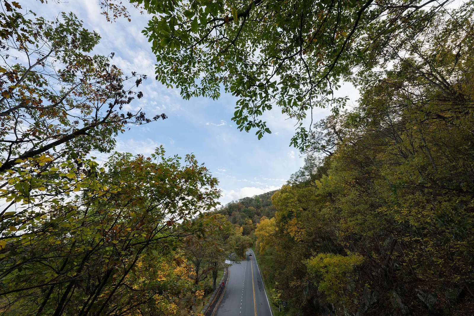
Just south of the Thornton Gap entrance on Route 211, the drive passes through Marys Rock Tunnel beneath one of the park's best viewpoints.
The Central District: Skyland, Big Meadows and the high summits
The central part of the park, between Thornton Gap and Swift Run Gap, has the highest peaks, the two lodges and the greatest concentration of popular trails.
Stony Man
Stony Man, at just over 4,000 feet, is the second highest summit in the park, yet it is one of the easiest to reach. A short loop of under two miles from the northern entrance of the Skyland area climbs gently to cliffs with a view across the valley to Massanutten Mountain.
Whiteoak Canyon
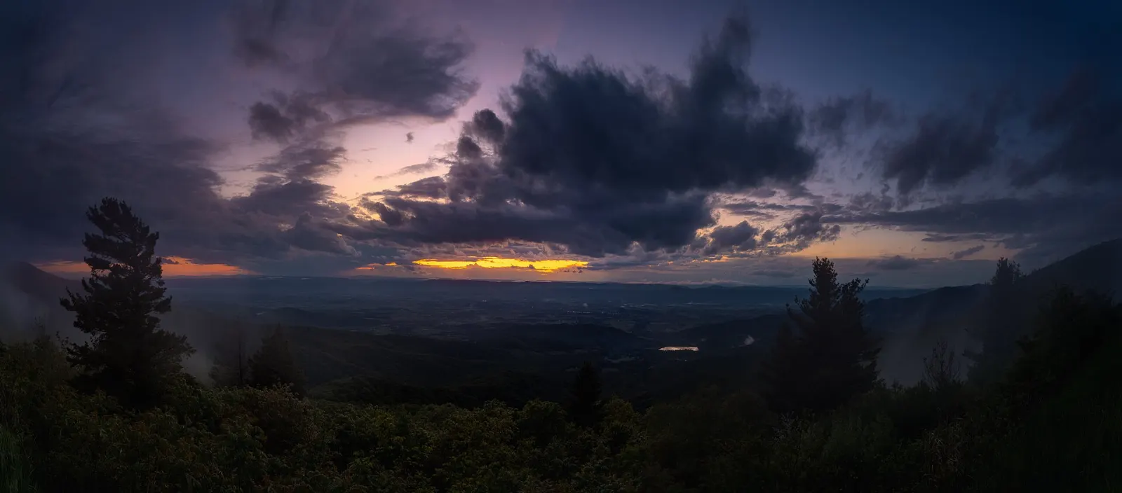
Whiteoak Canyon is a deep, shaded ravine on the eastern slope with a series of waterfalls, the tallest dropping well over eighty feet. From the trailhead on Skyline Drive near Skyland, the trail descends steadily to the upper falls, and strong hikers can continue down past more cascades.
Hawksbill
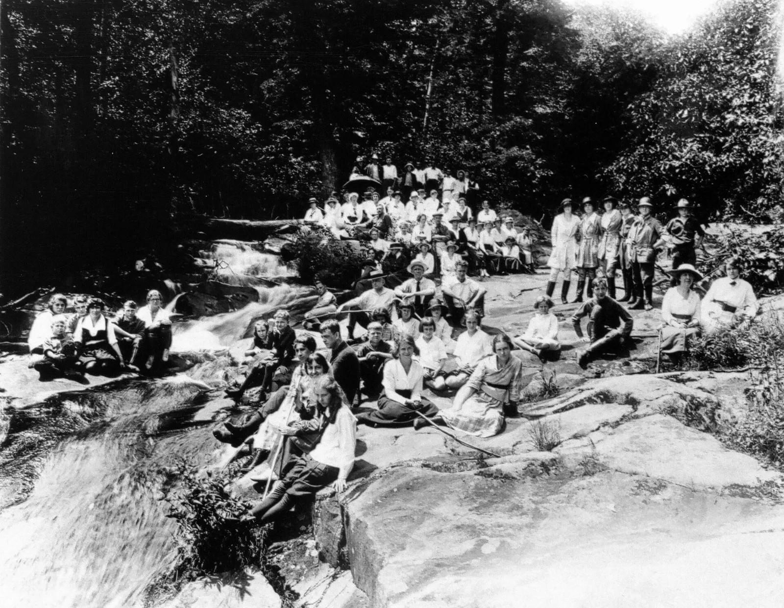
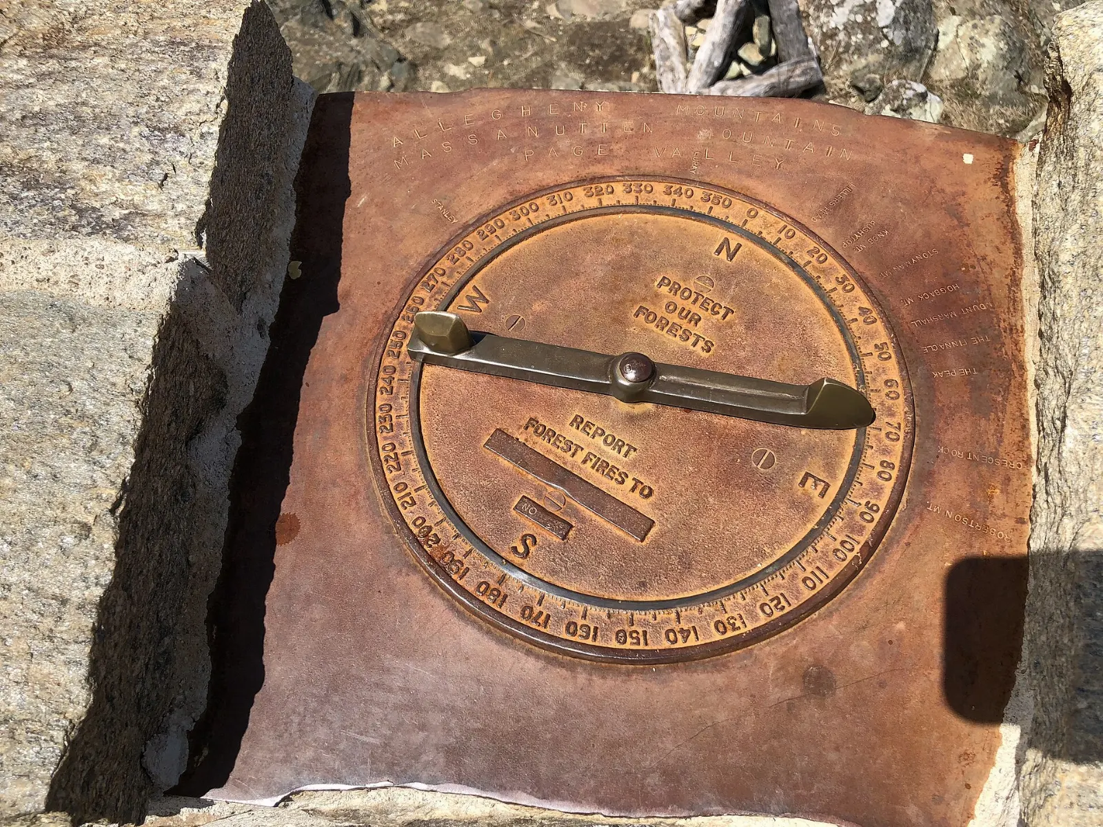
Hawksbill is the highest point in the park at 4,050 feet, and a stone observation platform at the summit offers a near-circular view.
Dark Hollow Falls
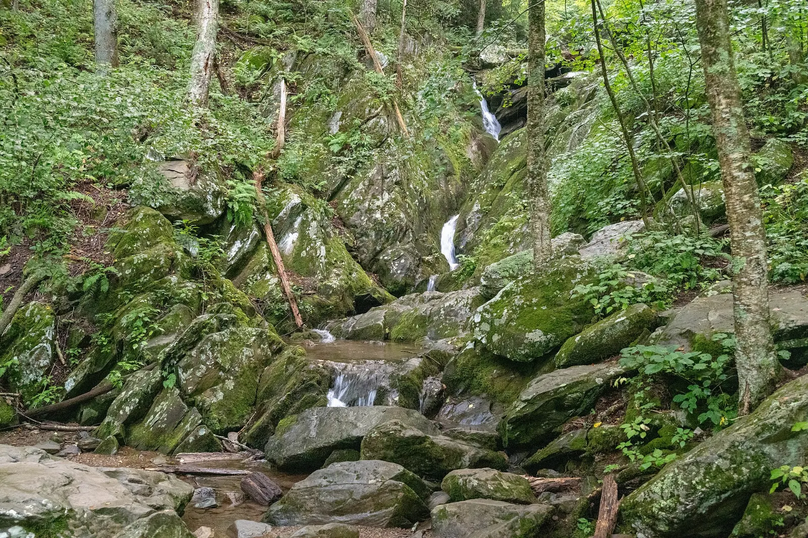
The trail to Dark Hollow Falls starts at milepost 50.7, just north of Big Meadows, and descends steeply for about seven-tenths of a mile to a series of cascades over greenstone ledges. It is the closest waterfall to Skyline Drive and the busiest trail in the park, so the parking area fills early on weekends.
Big Meadows and the Byrd Visitor Center
At milepost 51, Big Meadows is the largest open area in the park and the centre of its facilities, with the Harry F. Byrd Sr. Visitor Center, a lodge, a campground, a wayside and ranger programmes. The meadow itself is managed to keep it open, and at dawn and dusk deer graze in full view.
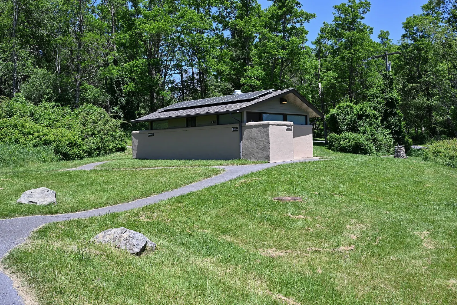
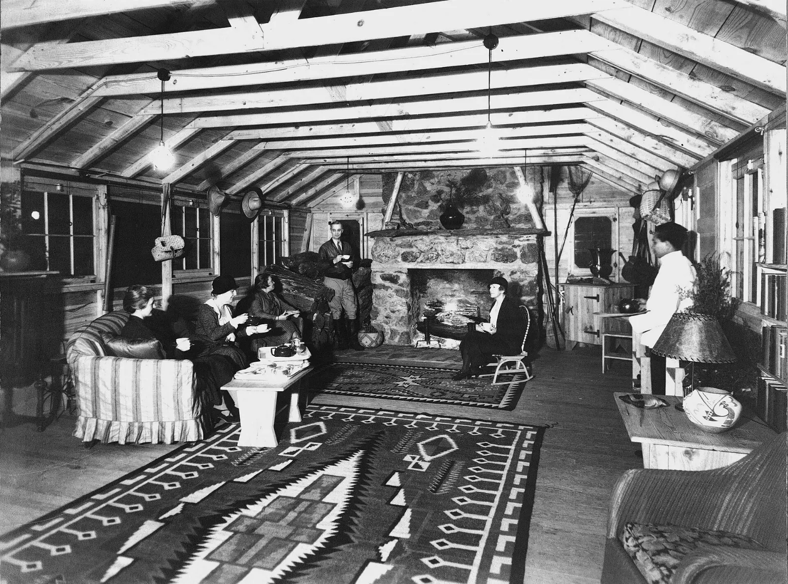
Rapidan Camp
Herbert Hoover bought land on the Rapidan River in 1929 and built a summer retreat that became known as the Summer White House. The restored Brown House, furnished as it was in Hoover's time, sits beside the rushing stream.
Bearfence Mountain
Near milepost 56.4, the short Bearfence Trail involves a genuine rock scramble that rewards you with a 360-degree view. The route is only about a mile but needs hands as well as feet.
Old Rag and the South District
Old Rag Mountain
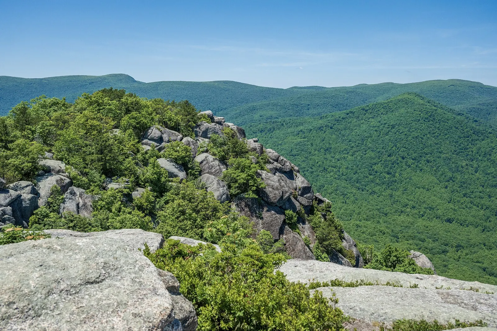
Old Rag stands apart from the main ridge on the eastern edge of the park and is the most famous hike in Shenandoah. The usual circuit from the parking area at its base is around nine miles, including a rock scramble of more than a mile over and through granite boulders, before you descend on the Saddle Trail and a fire road.
Loft Mountain and Blackrock Summit
The South District, between Swift Run Gap and Rockfish Gap, is quieter and wilder. Loft Mountain, near milepost 79.5, has a campground, wayside and the Frazier Discovery Trail, a short loop with a steep climb to a rocky viewpoint. Further south, near milepost 84.4, an easy loop of about a mile leads to Blackrock Summit, a pile of dark, lichen-covered boulders with long views west.
 Planning a trip to Shenandoah National Park?Compare hotels, flights and vacation rentals for Shenandoah National Park on Expedia.Book now
Food and local flavors
Dining inside the park is limited to the lodges and waysides, which operate seasonally. They serve hearty American fare, and blackberry desserts, from pies to ice cream, are a long-standing park favourite.
Outside the park, the Shenandoah Valley and the Blue Ridge foothills are farm country. Look for apple orchards and farm stands along the roads near Luray and in Rappahannock County, especially in autumn, when you will find fresh cider, apple butter and local honey.
Popular dishes to try in Shenandoah National Park


Where to stay
Staying inside the park lets you hike at dawn and watch sunsets from the ridge. Skyland and Big Meadows have lodges, and Lewis Mountain has cabins, all open seasonally from spring through late autumn; reserve months ahead for October.
Outside the park, Luray, just west of Thornton Gap, is the most central gateway and close to Luray Caverns. Front Royal suits visitors arriving from Washington and wanting to explore the North District.
Where to stay in Shenandoah National Park


Best time to visit
Autumn is the most popular season. Leaves usually peak from mid to late October, and the higher elevations turn first.
Winter is quiet and beautiful, with bare trees opening up views, but Skyline Drive closes in sections during snow and ice, and most lodging and food services shut down from late autumn to spring.
Getting there and getting around
You need a car to explore Shenandoah, as there is no public transport in the park.
The speed limit on Skyline Drive is 35 mph, and driving its full length takes around three hours without stops; in practice, plan on a full day. An entrance pass is required for every vehicle and is valid for several days, and America the Beautiful annual passes are accepted.
A suggested itinerary
First day
Enter at Front Royal, stop at Dickey Ridge for maps and the Fox Hollow loop, then drive south with stops at overlooks.
Second day
Start early with the short Stony Man loop, then hike to the upper falls of Whiteoak Canyon.
Third day
Either tackle Old Rag with your pre-booked day-use ticket, or visit Rapidan Camp and Bearfence in the morning before driving south to Loft Mountain and Blackrock Summit, exiting at Rockfish Gap.
Practical tips
- Book an Old Rag day-use ticket on Recreation.gov for hikes from March through November.
- Reserve lodges and campgrounds well in advance for October weekends.
- Check the official park website for current hours and fees, road closures and trail conditions.
- Store food securely and keep your distance from black bears; never feed any wildlife.
- Dogs are allowed on most trails on a leash, but are banned on a short list including Old Rag, Whiteoak Canyon, Dark Hollow Falls and Bearfence.
- Cell coverage is patchy, so download maps before you arrive.
Find local businesses in Luray on WiserMap
Luray, the gateway town just west of Thornton Gap, is the handiest base for supplies, meals, outfitters and places to stay before or after a day on Skyline Drive.