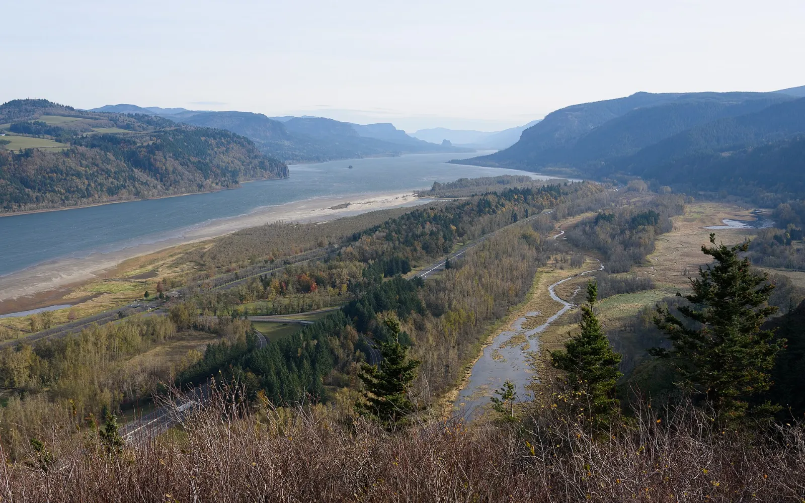
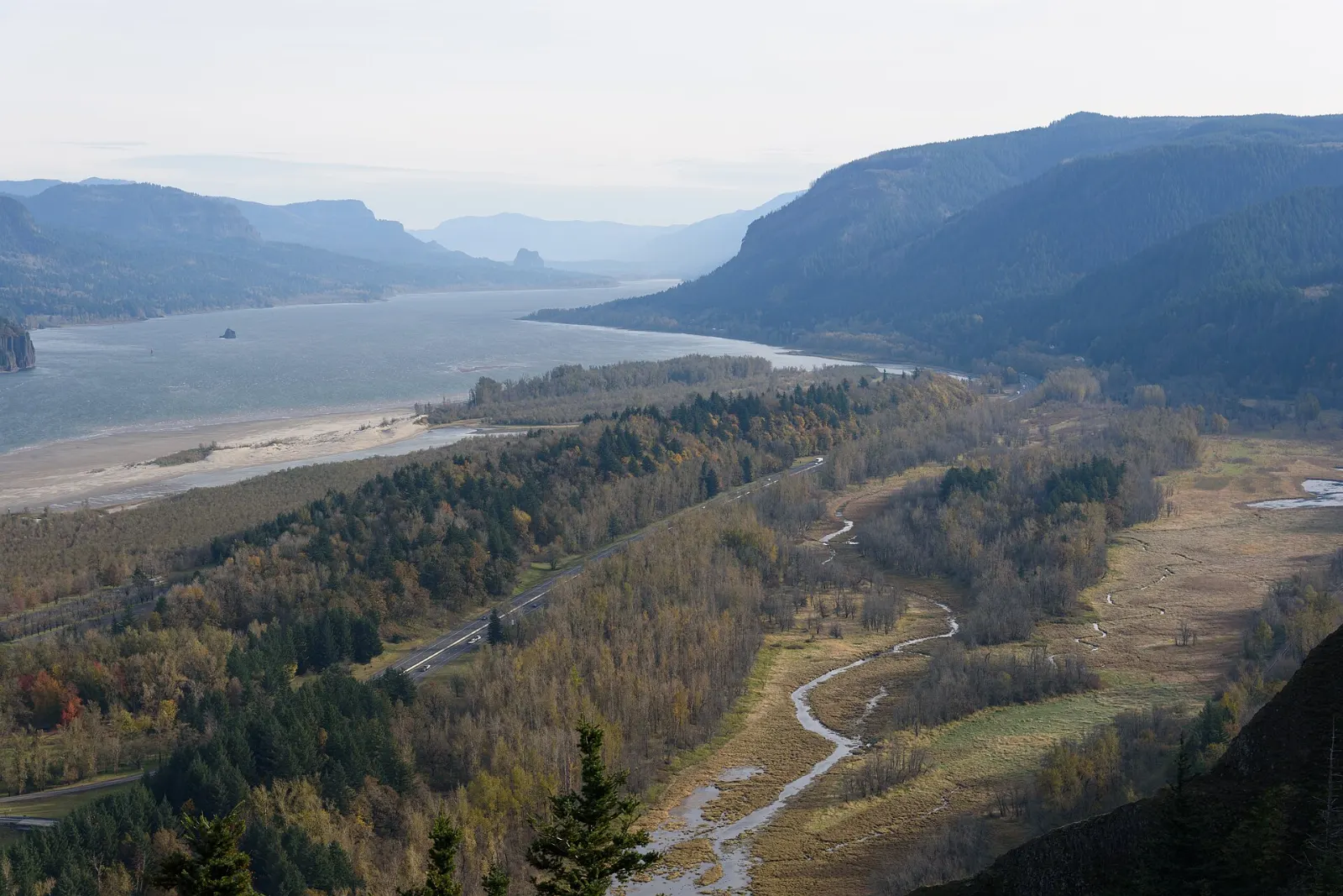
Less than an hour east of Portland, the Columbia River has carved a canyon through the Cascade Range that is up to several thousand feet deep.
AT A GLANCE
Best time
April to June for waterfalls and wildflowers; September and October for harvest and fewer crowds.
How long
One day for the waterfall corridor; two or three days to add Hood River and the eastern Gorge.
Getting there
Fly into Portland and drive east on Interstate 84. Multnomah Falls parking needs a timed permit in summer.
Why visit the Columbia River Gorge
The Gorge is the only sea-level route through the Cascades, and that geography creates dramatic contrasts. Moist Pacific air pours in from the west and drops heavy rain on the cliffs near Portland, feeding the highest concentration of waterfalls in the region. Travel an hour east and the rain shadow takes over: forests give way to oak savanna, sunny grasslands and some of the best spring wildflower displays in the Pacific Northwest.
The human story is just as rich. Native peoples have fished these waters for thousands of years, and tribal fishing platforms still cling to the riverbanks. Lewis and Clark paddled through in 1805.
The western Gorge and the waterfall corridor
Vista House at Crown Point
Perched on a basalt promontory high above the river, Vista House is an octagonal stone building completed in 1918 as a rest stop for travelers on the new highway. Inside you will find marble walls, a small exhibit on the road's history and a gift shop; outside, the viewpoint looks east down the length of the Gorge.
Latourell Falls
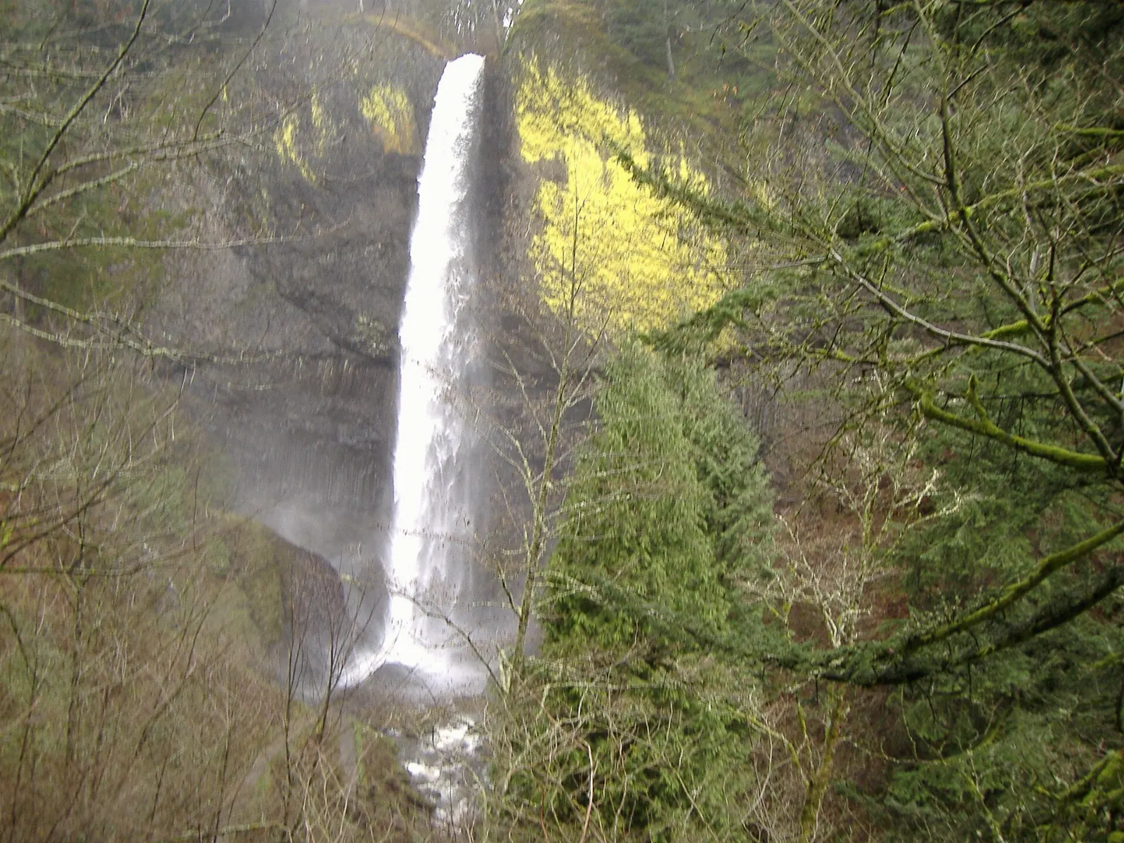
A short way east, Latourell Falls drops in a single clean plunge over a wall of columnar basalt splashed with bright yellow-green lichen. The lower viewpoint is just steps from the parking area, and a loop trail of a little over two miles climbs to the upper falls and returns through Guy W. Talbot State Park.
Multnomah Falls
Oregon's tallest waterfall drops about 620 feet in two tiers, and the Benson Bridge spans the gap between them. A paved path climbs to the bridge in a few minutes, and a steep trail with many switchbacks continues to a platform at the top of the upper falls.
Practical tip: in 2026, a timed-use permit from Recreation.gov is required to park at the Interstate 84 Exit 31 lot daily from nine in the morning to six in the evening between late May and early September.
Wahkeena and Horsetail Falls
West of Multnomah Falls, lacy Wahkeena Falls tumbles down a series of cascades close to the road, and a connecting trail links it with Multnomah for a loop of about five miles.
Bonneville, Eagle Creek and Cascade Locks
Bonneville Lock and Dam
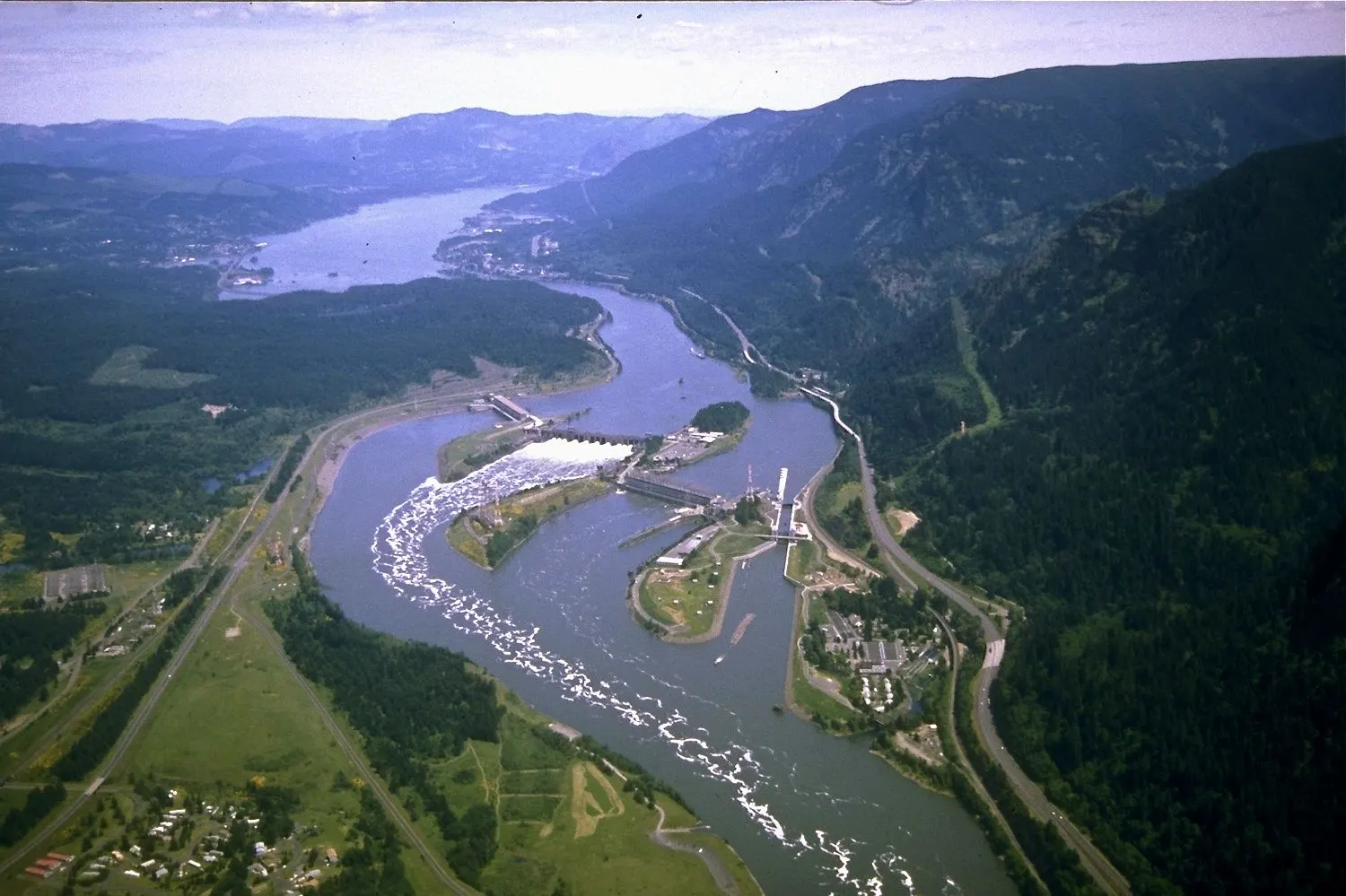
The first dam built across the lower Columbia River opened in the late 1930s. At the Bradford Island Visitor Center you can watch salmon, steelhead and lamprey swim up the fish ladders through underwater windows, especially during spring and autumn runs.
Eagle Creek Trail and Punch Bowl Falls
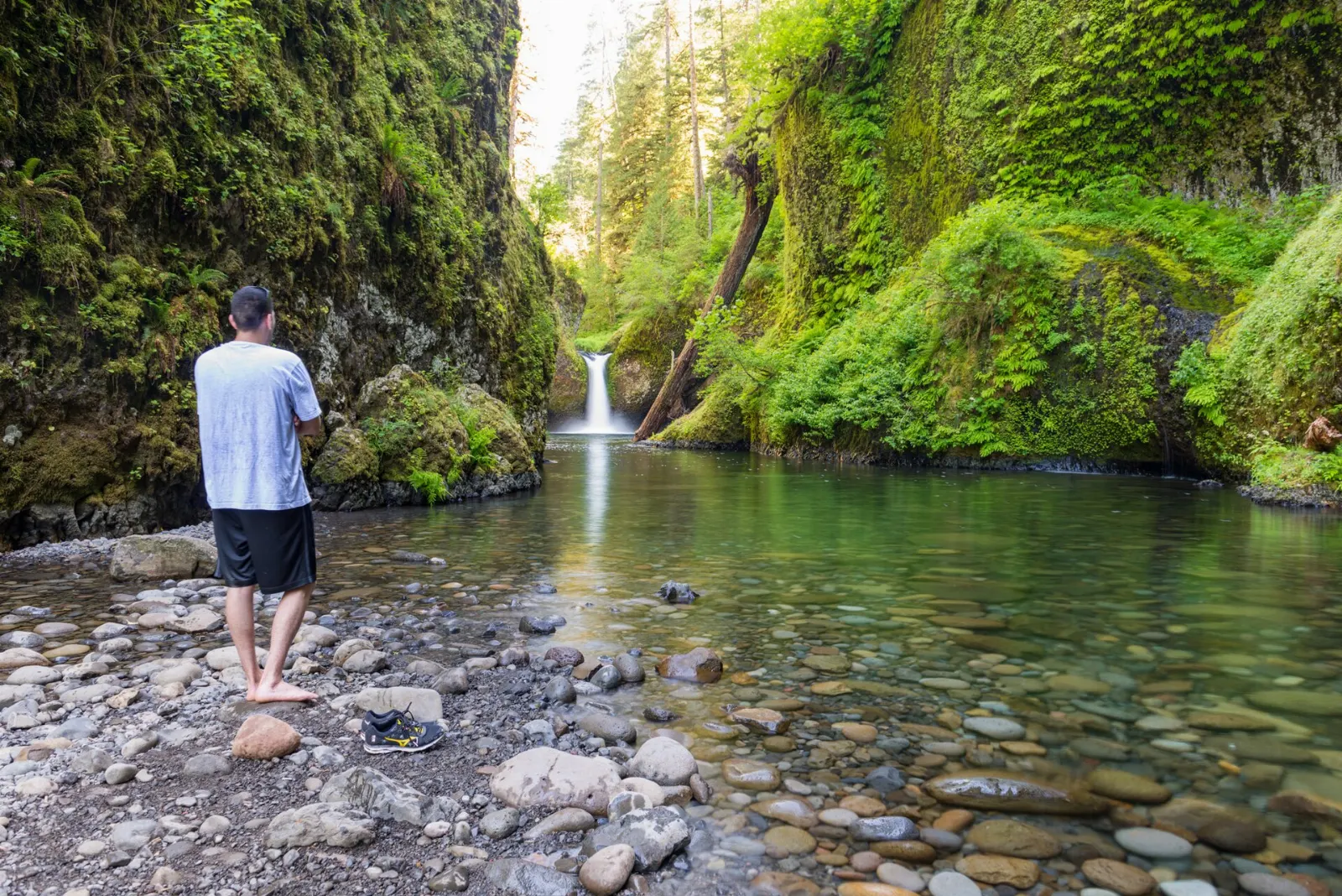
Eagle Creek is the Gorge's classic waterfall hike. The trail follows a narrow ledge blasted into cliffs high above the creek, passing several falls before reaching Punch Bowl Falls, which pours into a round emerald pool.
Practical tip: sections of the trail have steep drop-offs with only cable handholds, so keep children close and leave dogs at home. Arrive early, because the small parking area fills quickly.
Cascade Locks and the Bridge of the Gods
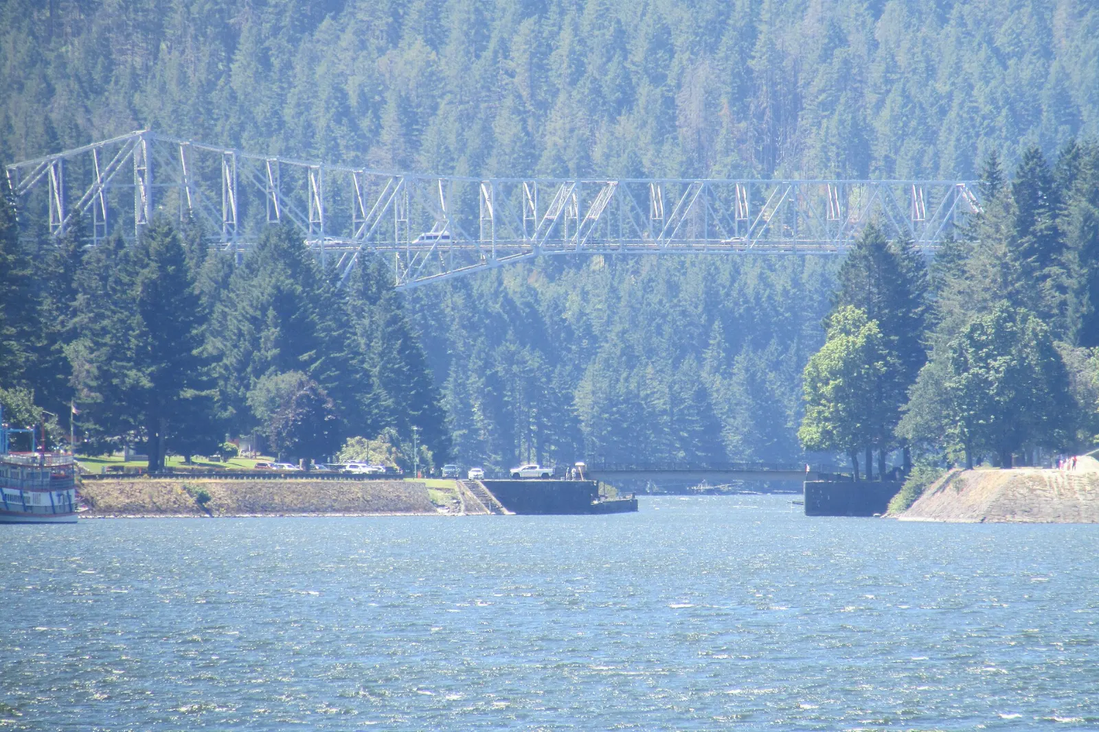
The small town of Cascade Locks is named for the navigation locks that once allowed boats past the river's rapids. Today its Marine Park is a pleasant place to picnic, and the steel cantilever Bridge of the Gods crosses to Washington.
Hood River and the eastern Gorge
Hood River and the Fruit Loop
Hood River is the Gorge's liveliest town, with a compact downtown of cafes, outfitters and tasting rooms climbing the hillside above the river. Strong, reliable summer winds have made it a world-famous center for windsurfing and kiteboarding, and you can watch riders zipping across the water from the waterfront park.
Mosier Twin Tunnels
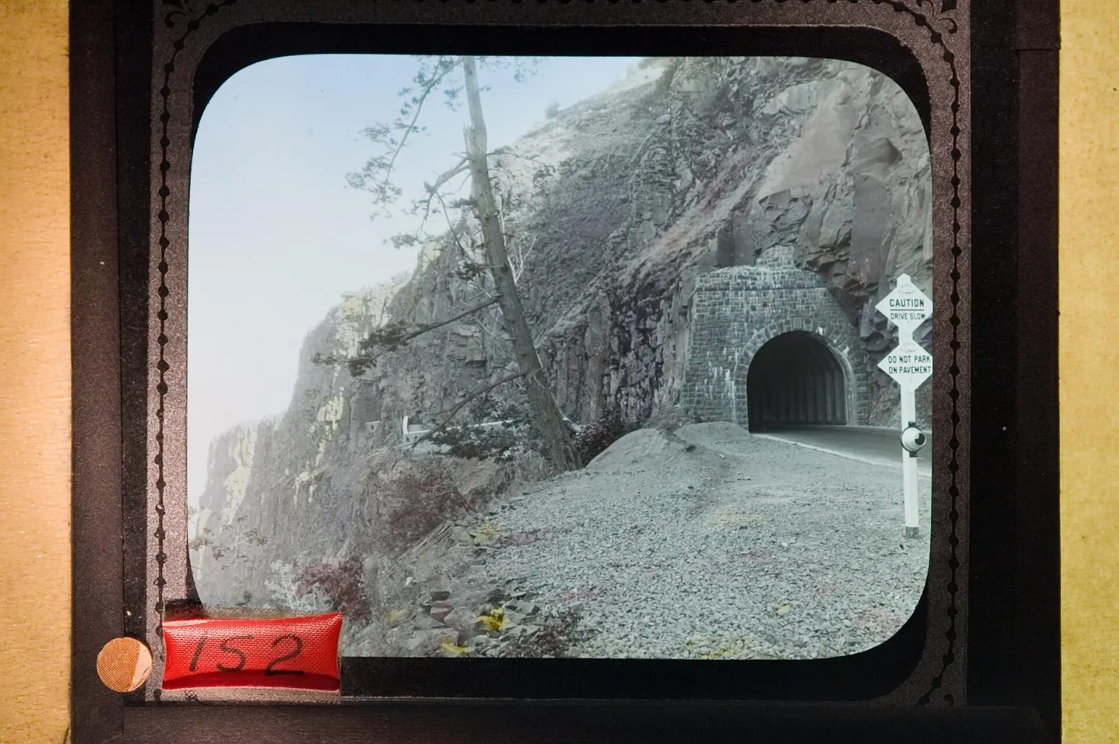
Between Hood River and the town of Mosier, a stretch of the old highway has been turned into the Historic Columbia River Highway State Trail, closed to cars. The paved route climbs through oak woods to the Mosier Twin Tunnels, cut through basalt cliffs with windows looking out over the river.
Rowena Crest and the Tom McCall Preserve
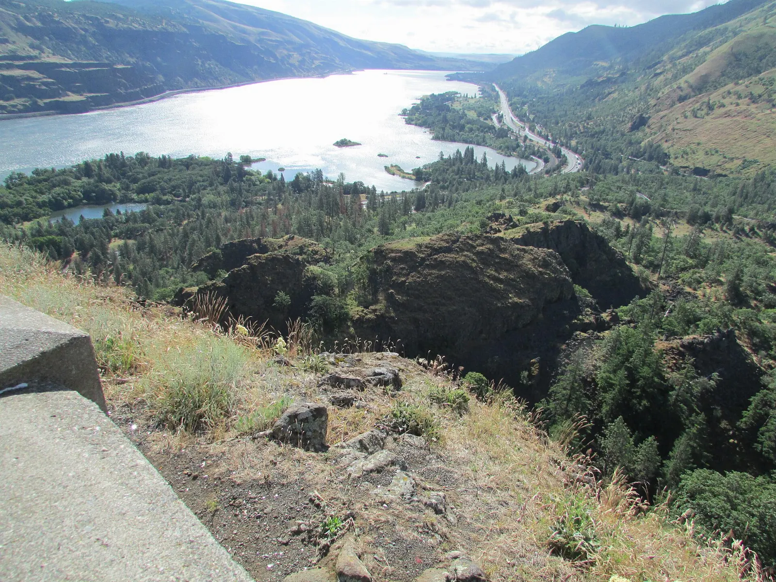
East of Mosier, the old highway twists down in a series of tight curves known as the Rowena Loops. At the top, Rowena Crest Viewpoint looks over the loops and the river, and the Tom McCall Preserve, managed by The Nature Conservancy, protects grassland plateaus that burst with arrowleaf balsamroot, lupine and other wildflowers in spring.
Beacon Rock, across the river
On the Washington side, Beacon Rock is the core of an ancient volcano, rising about 850 feet straight from the riverbank. A trail of switchbacks with handrails climbs to the summit for a sweeping view up and down the Gorge.
Food and local flavors
The Hood River Valley is one of the country's major pear-growing regions, along with apples and cherries, and the orchards turn into a feast in late summer and autumn.
Salmon is central to the culture of the river.
Hood River and the nearby towns have a busy craft brewery scene, and the Columbia Gorge wine region has grown into a destination in its own right, with vineyards on both sides of the river.
Popular dishes to try in Columbia River Gorge


Where to stay
Hood River. The best all-round base, with the widest choice of lodging and restaurants, easy access to the Fruit Loop and the eastern trails, and about forty minutes' drive to Multnomah Falls.
The Dalles and Mosier. On the dry eastern end, these are good choices for wildflower season and for exploring the Rowena area and wine country.
Portland. If you are only doing a day trip, staying in the city works well; the western Gorge is less than an hour away.
Where to stay in Columbia River Gorge


Best time to visit
Spring, from March to June, is peak season for many visitors: the waterfalls are at full flow after winter rains and snowmelt, and the eastern Gorge bursts with wildflowers from late March into May.
Summer, from July to early September, brings warm, dry weather, strong winds for water sports and the heaviest crowds.
Autumn is a quieter, lovely time to come.
Getting there and getting around
By air. Portland International Airport is the main gateway, about half an hour from the western end of the Gorge.
By car. Interstate 84 runs along the Oregon shore and Washington State Route 14 follows the north bank.
Permits and parking. The Multnomah Falls lot at Exit 31 requires a timed-use permit from Recreation.gov during summer daytime hours.
Without a car. The Columbia Gorge Express bus links Portland's Gateway Transit Center with Multnomah Falls and other Gorge stops, and private shuttles and waterfall tours run in season.
A suggested itinerary
First day
Start at sunrise at Vista House, then work east along the historic highway: Latourell Falls, Wahkeena Falls and Multnomah Falls before the permit window begins or with a reserved permit.
Second day
Hike Eagle Creek to Punch Bowl Falls early, then cross the Bridge of the Gods for lunch in Stevenson or Cascade Locks.
Third day
Cycle or walk to the Mosier Twin Tunnels in the morning, then continue east to Rowena Crest for wildflowers and the view of the loops.
Practical tips
- Reserve a Multnomah Falls timed-use permit on Recreation.gov for summer visits, or arrive before nine in the morning.
- Check trail conditions before hiking; fire damage, rockfall and seasonal closures change from year to year.
- Carry the right parking passes: Oregon state park day-use, Washington Discover Pass and Northwest Forest Pass.
- Bring layers. The west end is cool and damp while the east end can be hot and dry on the same day.
- Watch for poison oak and ticks on the eastern trails, and stay on paths to protect wildflowers.
- Expect strong winds, particularly at Crown Point and Rowena Crest; hold on to hats and phones.
Find local businesses in Hood River on WiserMap
Looking for a cafe before a hike, a bike shop for the twin tunnels or a farm stand on the Fruit Loop?