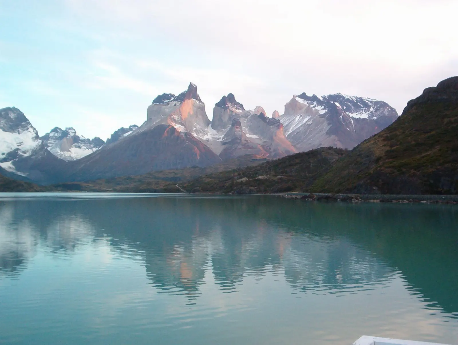
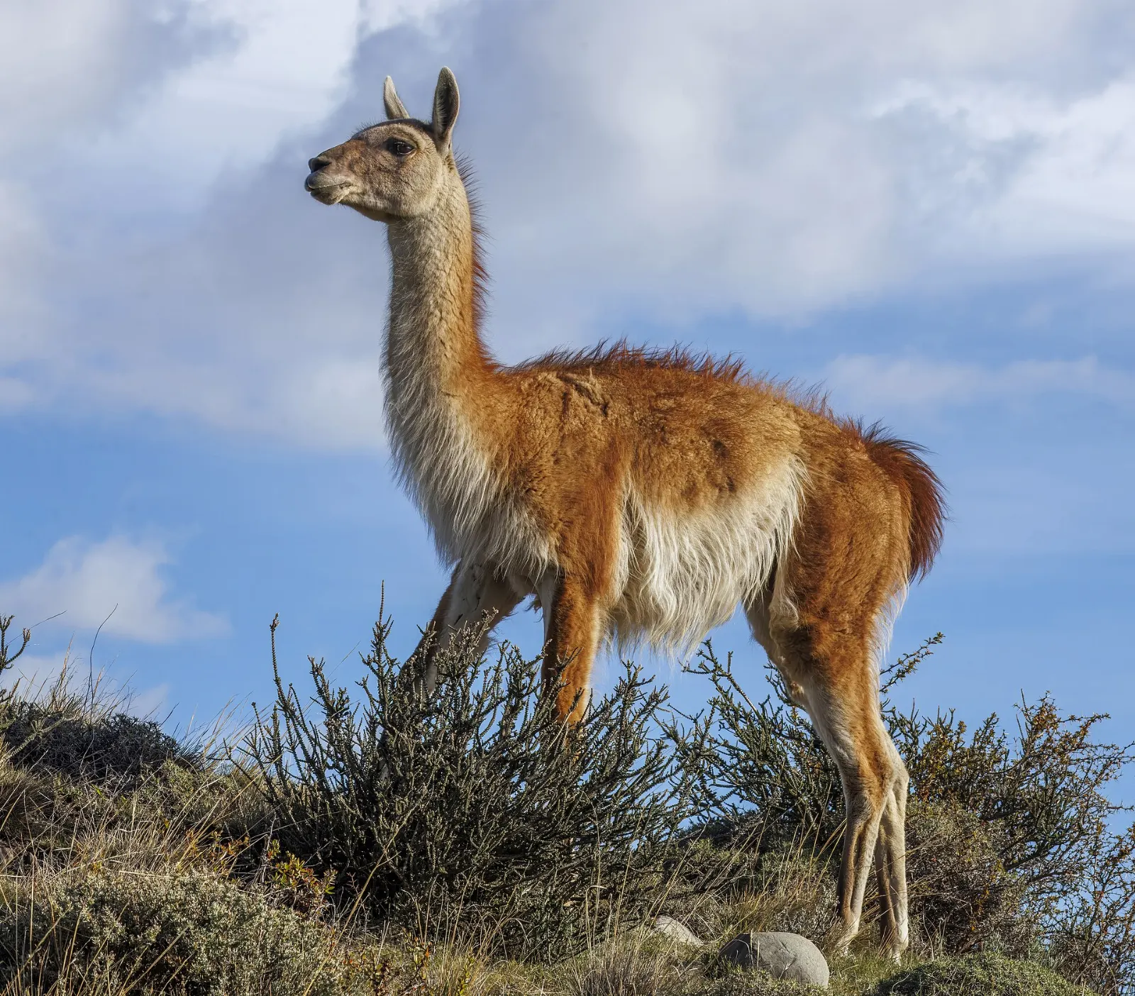
Torres del Paine is the kind of place that rearranges your sense of scale. Three pale granite spires stab out of the southern Andes, glaciers spill off the Southern Patagonian Ice Field into milky lakes, and the steppe below is busy with guanacos, rheas and the occasional condor drifting overhead.
AT A GLANCE
Best time
October to April, the southern spring and summer, with long daylight and the most open trails.
How long
Three to four days for day hikes and boat trips; four to six for the W Trek; a week or more for the full circuit.
Getting there
Fly to Punta Arenas or Puerto Natales, then travel by bus or car from Puerto Natales to the park entrances.
Why visit Torres del Paine
The park protects the Paine massif, a block of mountains formed when granite pushed up beneath older sedimentary layers and was then sculpted by ice. On the southern side erosion stripped the dark rock away, leaving the bare towers.
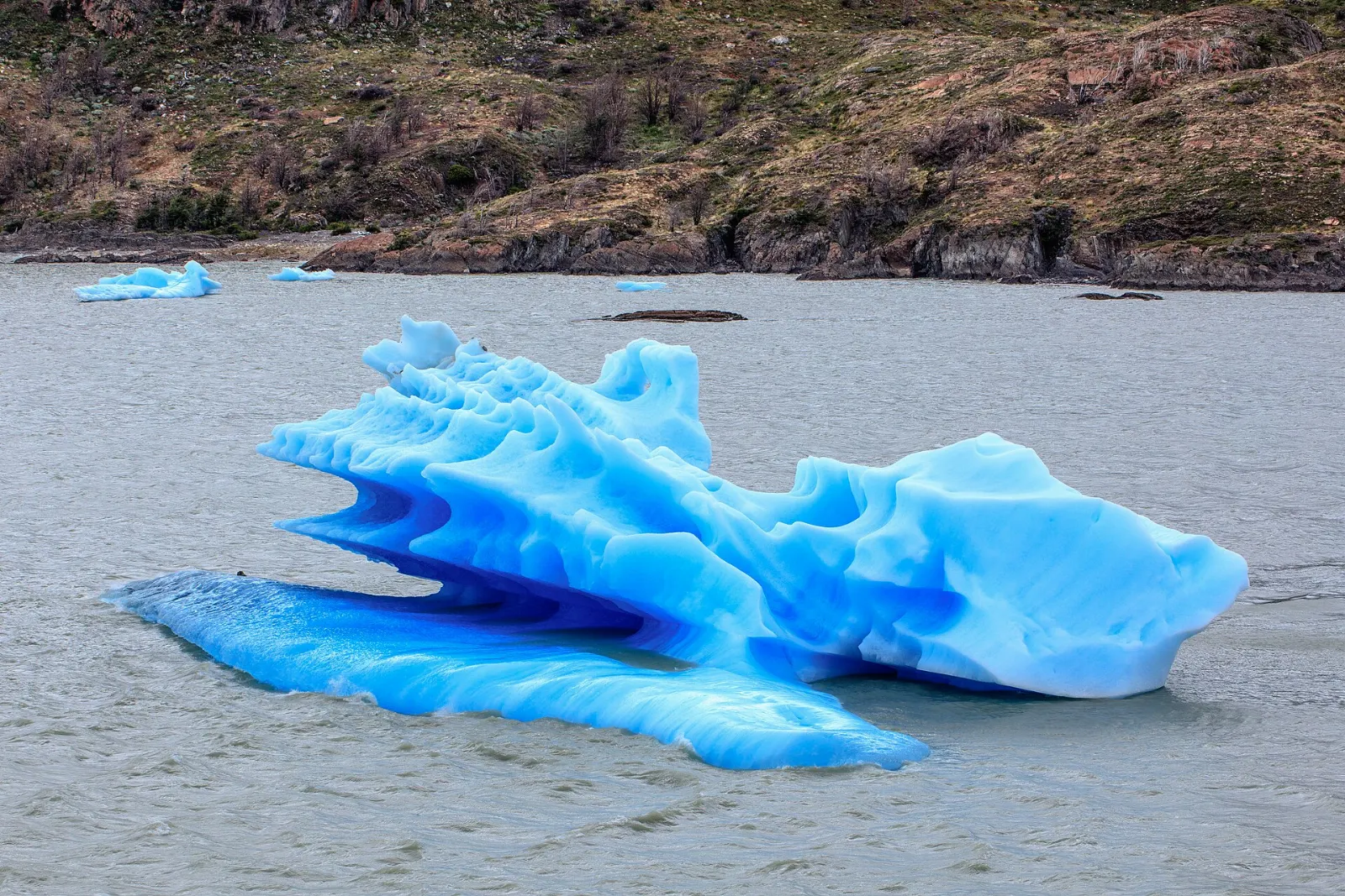
Around the massif lie lakes in improbable colors: the jade of Pehoé, the deep blue of Nordenskjöld, the grey of Lago Grey with its floating icebergs, and the chalky shoreline of Lago Sarmiento.
Above all, Torres del Paine rewards every kind of visitor. Serious trekkers come for the multi-day W and O routes, but you can also see the towers, a glacier and several lakes on day hikes and short boat crossings, sleeping in Puerto Natales or in lodges inside the park.
The towers and the quiet northeast
Base de las Torres
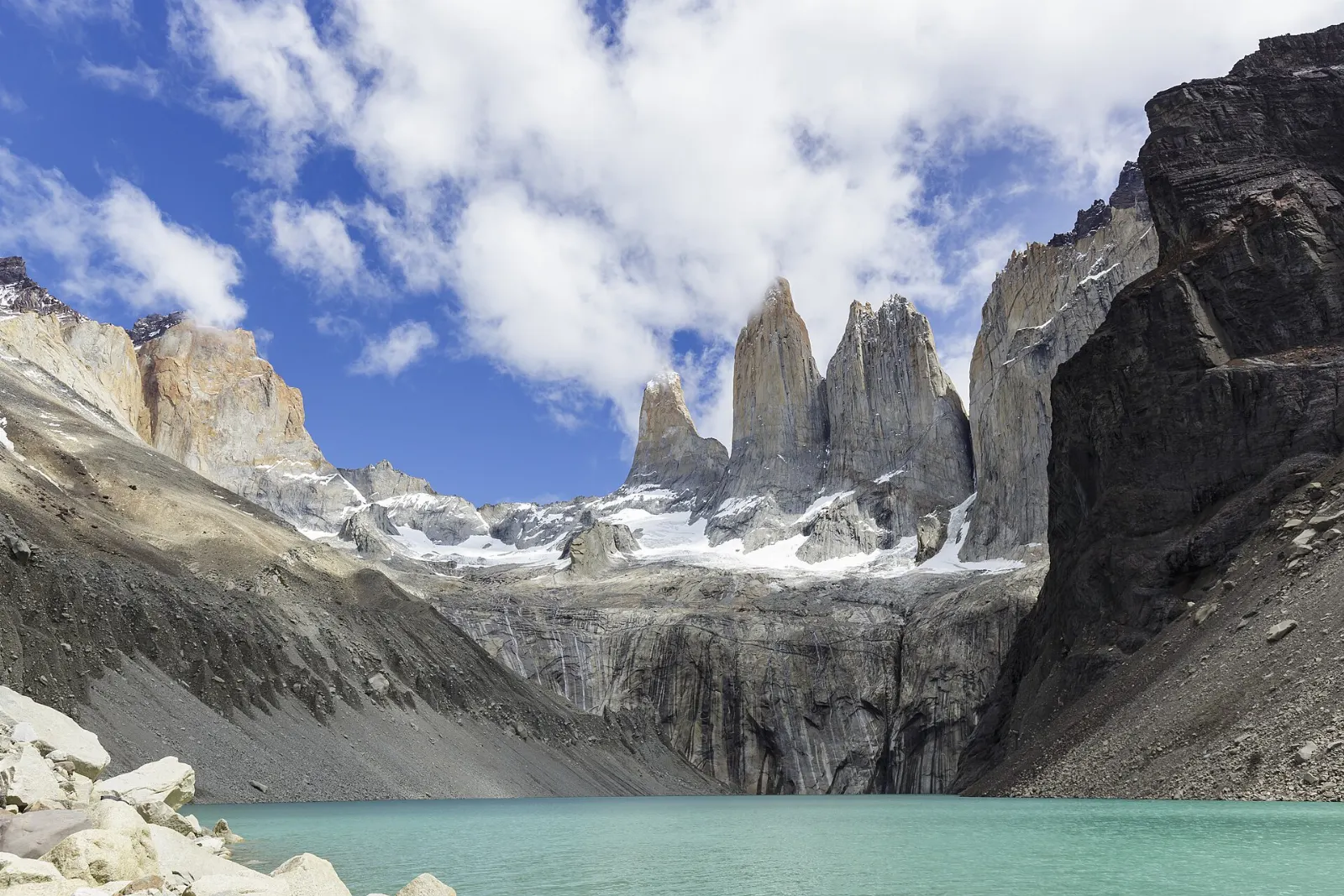
The park's signature hike climbs from the Las Torres area up the Ascencio Valley, past the Chileno camp, through beech forest and finally up a steep moraine of loose boulders to a glacial lagoon at the foot of the three towers.
Laguna Azul
In the park's northeast corner, reached by its own entrance road, Laguna Azul offers a different angle on the towers, seen from the north across open water. It is far less busy than the central sector, with picnic spots and short walks along the shore.
Lago Sarmiento and Laguna Amarga
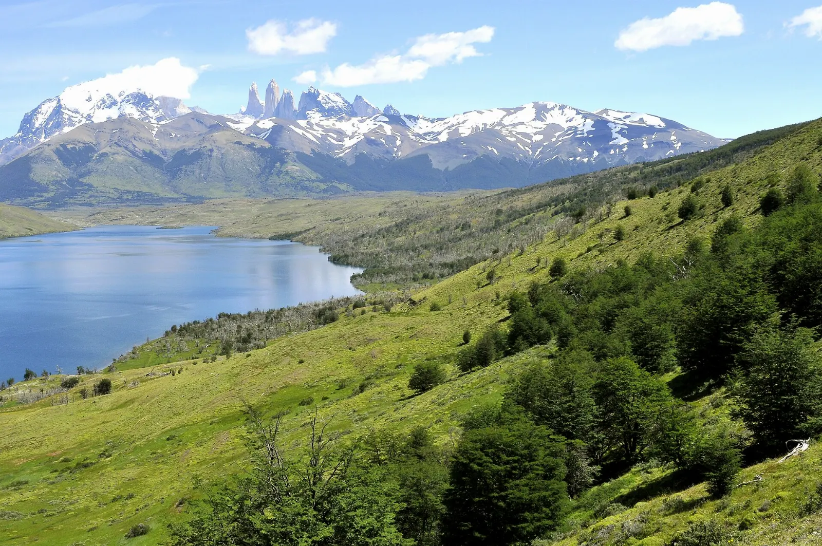
The eastern lakes sit in rolling steppe rather than forest. Lago Sarmiento is known for its white banks, formed by calcium deposits, and for wide views back to the whole massif.
Waterfalls and lakes of the central park
Salto Grande
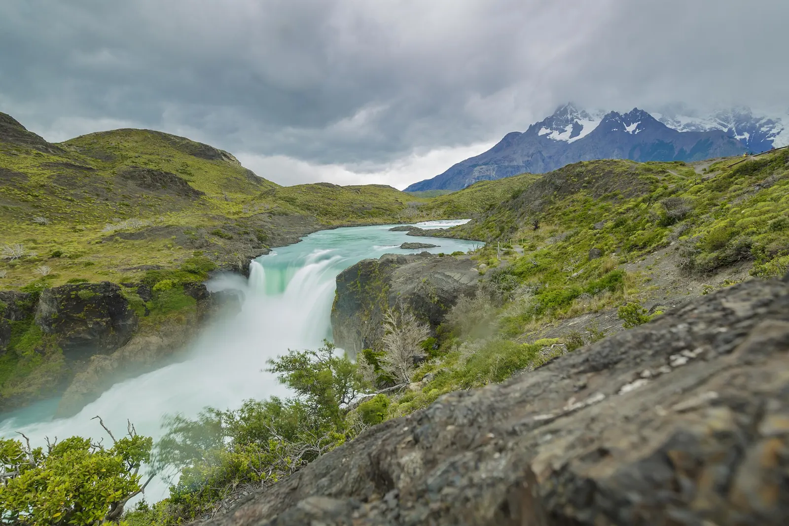
A short, easy walk from the Pudeto catamaran dock leads to Salto Grande, a thundering waterfall where Lago Nordenskjöld drains toward Lago Pehoé. The view of the Cuernos rising directly behind the falls is one of the most photographed in the park.
Mirador Cuernos
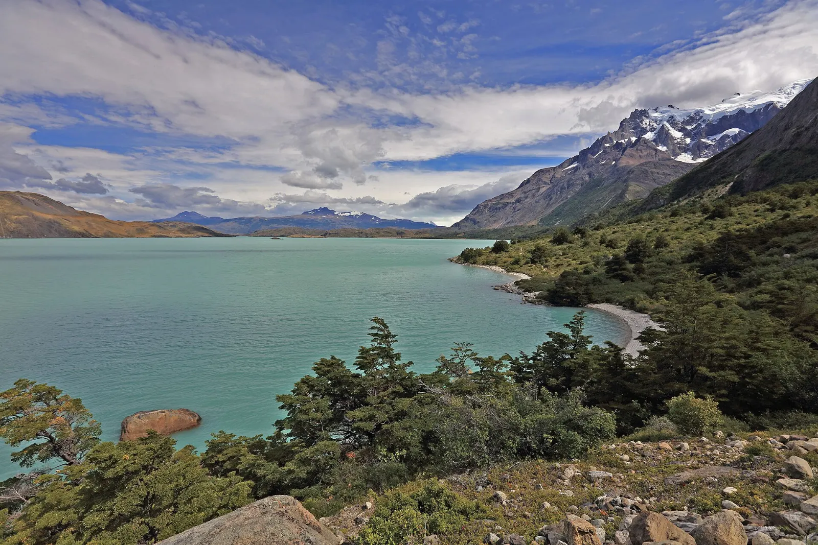
Continue past Salto Grande on a gentle trail across open, fire-scarred ground and you reach a rocky viewpoint on the shore of Lago Nordenskjöld, directly beneath the Cuernos. It is one of the best value walks in the park: mostly flat, with constant mountain views.
Lago Pehoé
Pehoé is the lake on most postcards, its intense turquoise water set against the Cuernos. You will see it from the road, from viewpoints near the Pehoé campsite and from the catamaran that crosses from Pudeto to Paine Grande.
Valle Francés and Mirador Británico
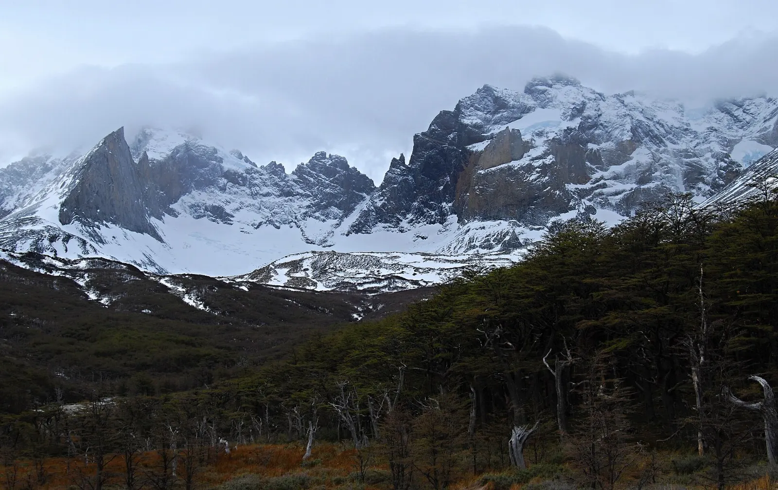
The French Valley is the central arm of the W, a deep valley wedged between Paine Grande and the Cuernos.
Glacier country in the west
Grey Glacier
Grey Glacier flows south from the Southern Patagonian Ice Field into Lago Grey, and its front splits into two tongues of crevassed blue ice. Hikers on the W reach viewpoints near Refugio Grey after a walk of several hours from Paine Grande, with suspension bridges beyond for even closer views.
Lago Grey beach and the iceberg viewpoint
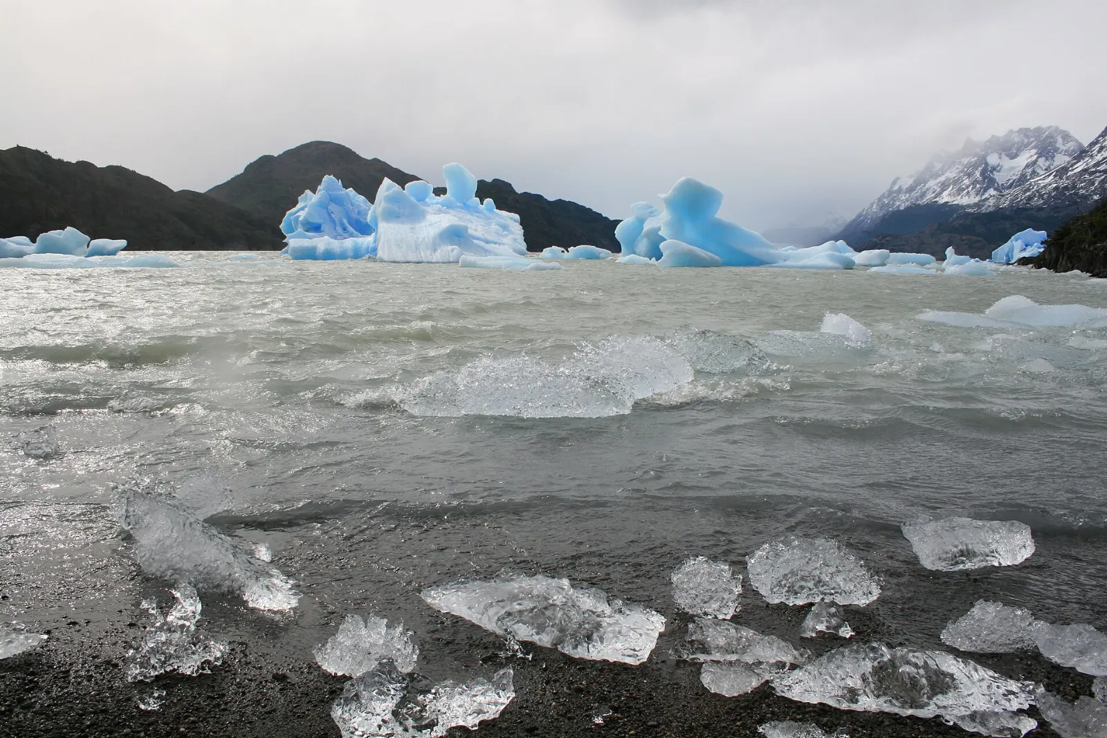
At the southern end of Lago Grey, a short walk from the Guardería Grey area crosses a footbridge and leads out along a pebble beach and sandbar.
Cueva del Milodón, near Puerto Natales
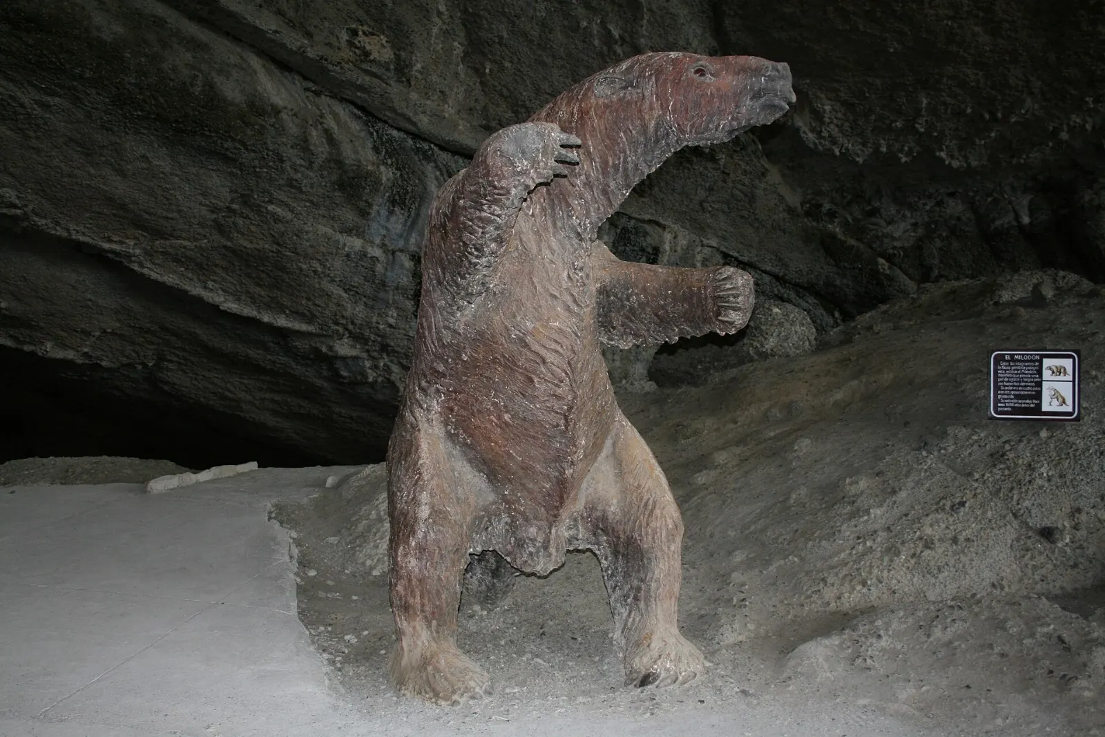
On the road between the park and Puerto Natales, about twenty-four kilometers northwest of town, the Cueva del Milodón Natural Monument protects a series of caves where skin and bones of an extinct giant ground sloth were found in 1895.
 Planning a trip to Torres del Paine?Compare hotels, flights and vacation rentals for Torres del Paine on Expedia.Book now
Food and local flavors
Southern Patagonia's food tradition grew out of sheep ranching, and lamb is the star.
The calafate berry, a dark blue fruit from a thorny shrub that grows across the region, turns up in jams, ice cream and a version of the pisco sour.
Puerto Natales has the widest choice of restaurants, cafes and bakeries, concentrated around the main square and the waterfront.
Popular dishes to try in Torres del Paine


Where to stay
Puerto Natales is the practical base for most visitors. The town has hostels, guesthouses and upscale hotels along the waterfront of the Última Esperanza Sound, plus tour offices, gear rental shops and the bus terminal.
Inside the park, options range from campsites and dormitory refugios along the W and O trails to full-service lodges near the lakes. Staying inside saves hours of driving and lets you be on the trail at dawn.
Estancias and lodges outside the park boundary, especially to the south and east, offer a middle ground: quieter surroundings, horseback riding and ranch life, with a shorter drive than from Puerto Natales.
Where to stay in Torres del Paine


Best time to visit
The main season runs from October to April. December through February brings the warmest weather and very long days, but also the biggest crowds and the strongest winds; gusts in Patagonian summer can be powerful enough to make walking difficult.
October, November, March and April are shoulder months. You may get crisp, clear days, fewer people and, in autumn, beech forests turning red and gold.
Getting there and getting around
Most travelers fly from Santiago to Punta Arenas, then ride a bus about three hours north to Puerto Natales, roughly two hundred and fifty kilometers away.
From Puerto Natales, buses run to the park daily in high season, taking around two hours to the Laguna Amarga entrance, then continuing to Pudeto for the catamaran.
Driving gives the most flexibility. The road via the Serrano entrance is the most direct from Puerto Natales, and other entrances include Laguna Amarga, Lago Sarmiento and Laguna Azul.
A suggested itinerary
First day
Drive or ride from Puerto Natales, stopping at the Cueva del Milodón on the way.
Second day
Rise early for the Base de las Torres hike, giving yourself the whole day.
Third day
Head west to Lago Grey. Walk out to the iceberg beach in the morning, then take a boat toward Grey Glacier if conditions allow.
Fourth day
Cross Lago Pehoé by catamaran to Paine Grande and hike into the French Valley as far as time allows, returning for the last boat.
Practical tips
- Reserve every overnight stay inside the park in advance; rangers check reservations between campsites.
- Buy park entry ahead through CONAF and keep your ticket handy, as it may be checked again.
- Pack for wind, rain and sun on the same day: waterproof shell, warm layers, hat, gloves and strong sunscreen.
- Use trekking poles on the moraine below the towers and on steep descents, and start long hikes early.
- Fires are a serious risk; past blazes burned large areas. Cook only in designated areas and never light open flames.
- Stay on marked trails, carry out all rubbish and keep a respectful distance from guanacos and other wildlife.