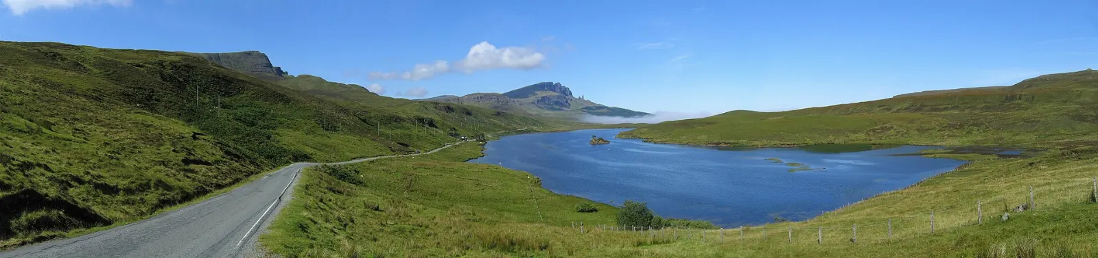
The Scottish Highlands cover the rugged north and west of Scotland, a land of long sea lochs, bare mountains, ruined castles and single-track roads that wind for miles without passing a village.
AT A GLANCE
Best time
May, June and September for long days, fewer midges and calmer roads.
How long
Seven to ten days for the west and north; four days for a Glen Coe and Loch Ness loop.
Getting there
Fly to Inverness, Glasgow or Edinburgh, or take the Caledonian Sleeper from London.
Why visit the Scottish Highlands
Few places in Europe give you this much open country. The Highlands hold most of Scotland's Munros, the mountains over 3,000 feet that walkers spend years collecting, plus thousands of lochs, a coastline cut into fjord-like inlets and some of the lowest population densities on the continent.
History runs deep too. The clans, the Jacobite risings and the Highland Clearances shaped the empty glens you drive through, and you can trace that story at Culloden, Glenfinnan and the abandoned townships scattered across the hills.
Glen Coe, Fort William and the Road to the Isles
The southwest corner of the Highlands is the easiest to reach from Glasgow and packs in the most famous scenery. The A82 crosses the bleak expanse of Rannoch Moor before dropping into Glen Coe, then continues to Fort William, the self-styled outdoor capital of the UK.
Glen Coe
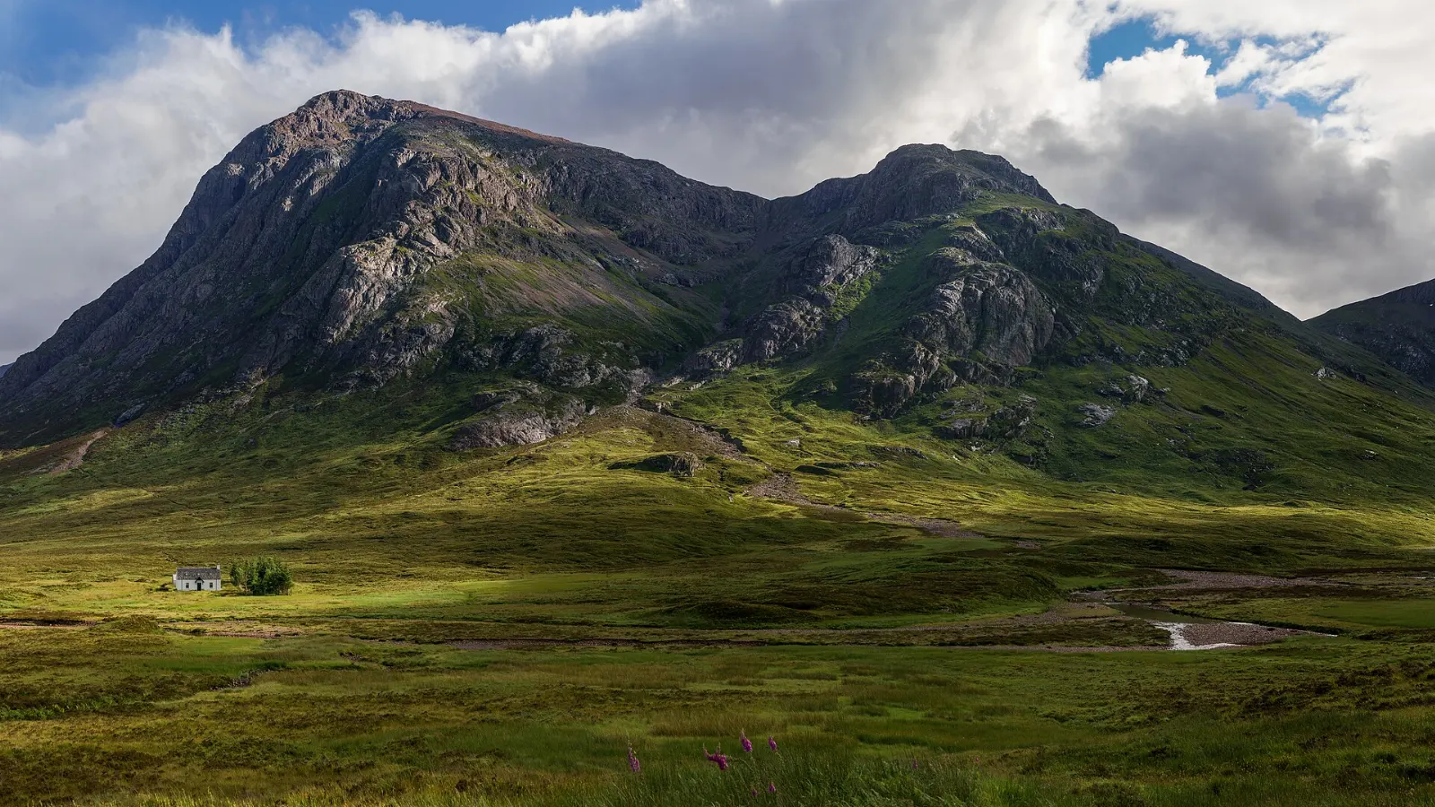
Glen Coe is a steep, narrow valley flanked by some of the most dramatic mountains in Scotland. Buachaille Etive Mor marks its eastern gate, and further down the glen the Three Sisters rise in a row of sheer ridges above the road.
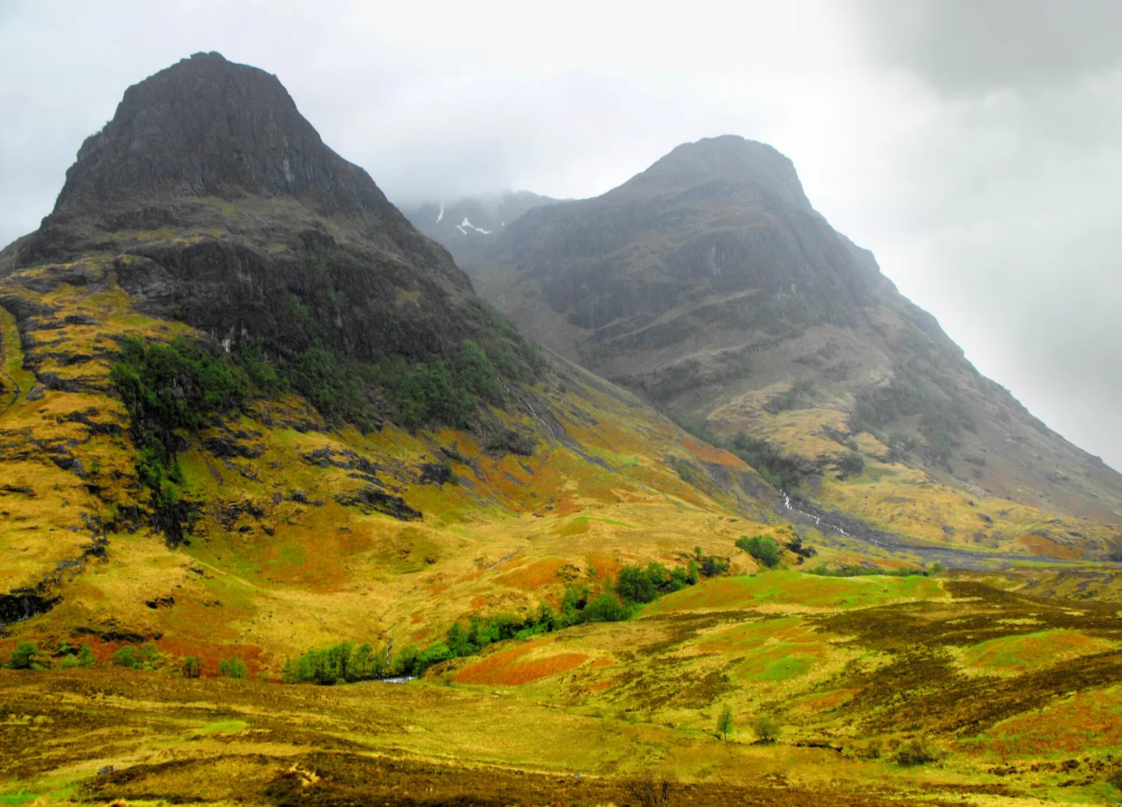
Allow at least half a day. Easy walks include the path around Glencoe Lochan, a short woodland loop above the village, while experienced hillwalkers can tackle the Lost Valley (Coire Gabhail), a rough climb into a hidden hanging valley.
Ben Nevis and Glen Nevis
Ben Nevis rises directly above Fort William and draws huge numbers of walkers each year.
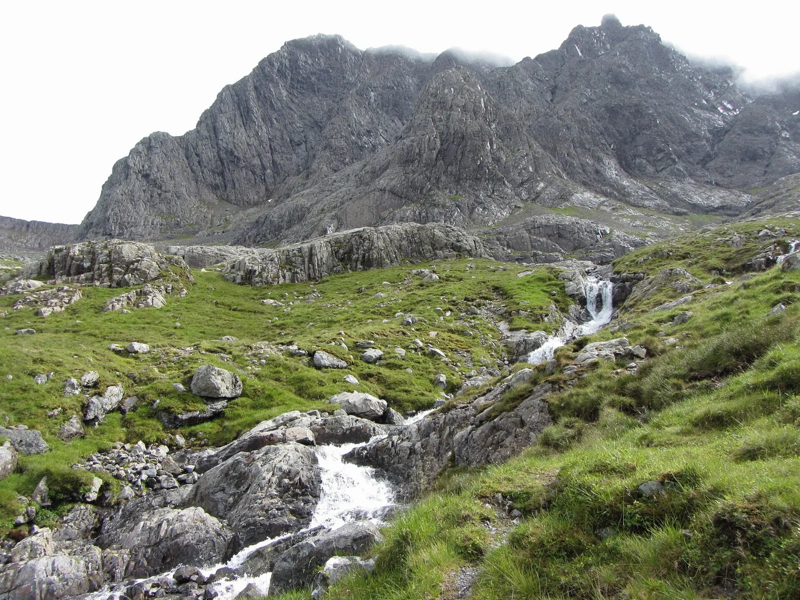
If a full ascent is not for you, walk up Glen Nevis to Steall Falls, one of the tallest waterfalls in Scotland, reached by a short gorge path that ends in a meadow beneath the cascade. Allow two to three hours for the return walk.
Glenfinnan
Glenfinnan, at the head of Loch Shiel, is where Prince Charles Edward Stuart raised his standard in 1745 to begin the last Jacobite rising.
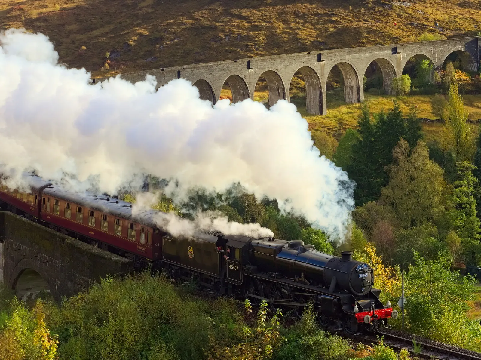
Allow one to two hours. A signed path from the visitor centre climbs to a viewpoint above the viaduct.
Loch Ness, Inverness and the Great Glen
The Great Glen is a long geological fault that slices the Highlands diagonally from Fort William to Inverness.
Loch Ness and Urquhart Castle
Loch Ness is long, narrow and remarkably deep, holding more fresh water than all the lakes of England and Wales combined.
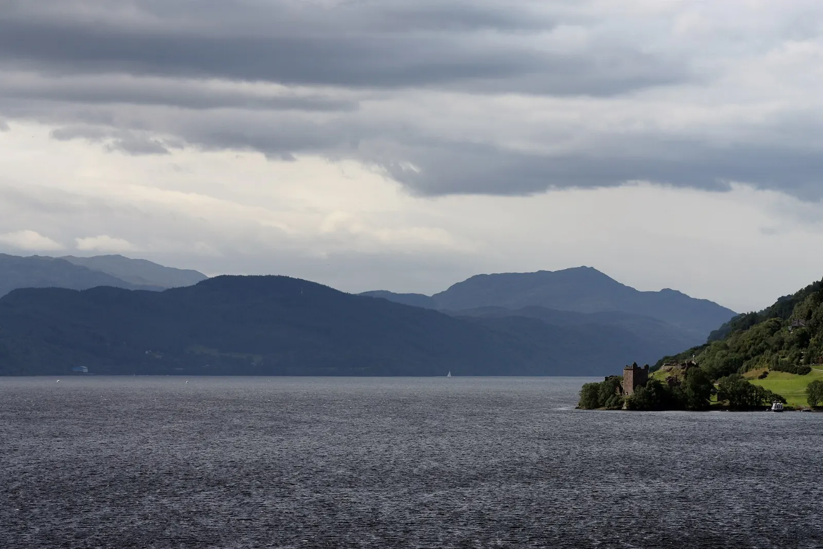
Allow two hours at the castle, which is cared for by Historic Environment Scotland; check the official website for current hours and fees. Boat cruises leave from several points along the shore.
Inverness and Culloden Battlefield
Inverness is the main city of the Highlands and a practical base with shops, restaurants and good transport links.
A short drive east, Culloden Battlefield is where the Jacobite army was defeated in April 1746, the last pitched battle fought on British soil.
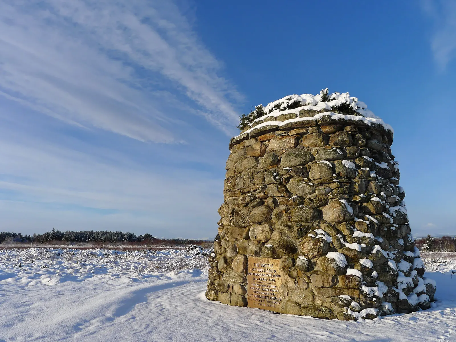
Tip: combine Culloden with Clava Cairns nearby, a group of Bronze Age burial cairns and standing stones in a quiet grove, free to visit and rarely crowded early in the day.
Castles, mountains and the wild northwest
West and north of Inverness the landscape grows emptier and more dramatic. This is the territory of the North Coast 500 driving route, where roads narrow to a single lane and the mountains rise straight out of the moor.
Eilean Donan Castle
Eilean Donan sits on a small tidal island where Loch Duich, Loch Long and Loch Alsh meet at Dornie, on the A87 toward the Skye Bridge.
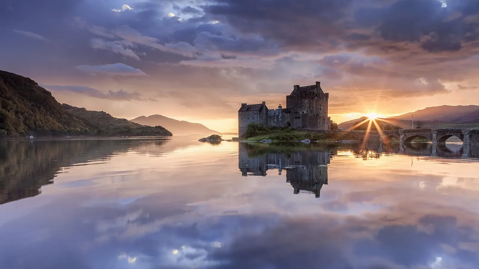
Allow one to two hours to tour the rooms and walk the shoreline.
Cairngorms National Park
The Cairngorms form the largest national park in Britain, a high granite plateau with arctic-like conditions on top and ancient Caledonian pine forest below.
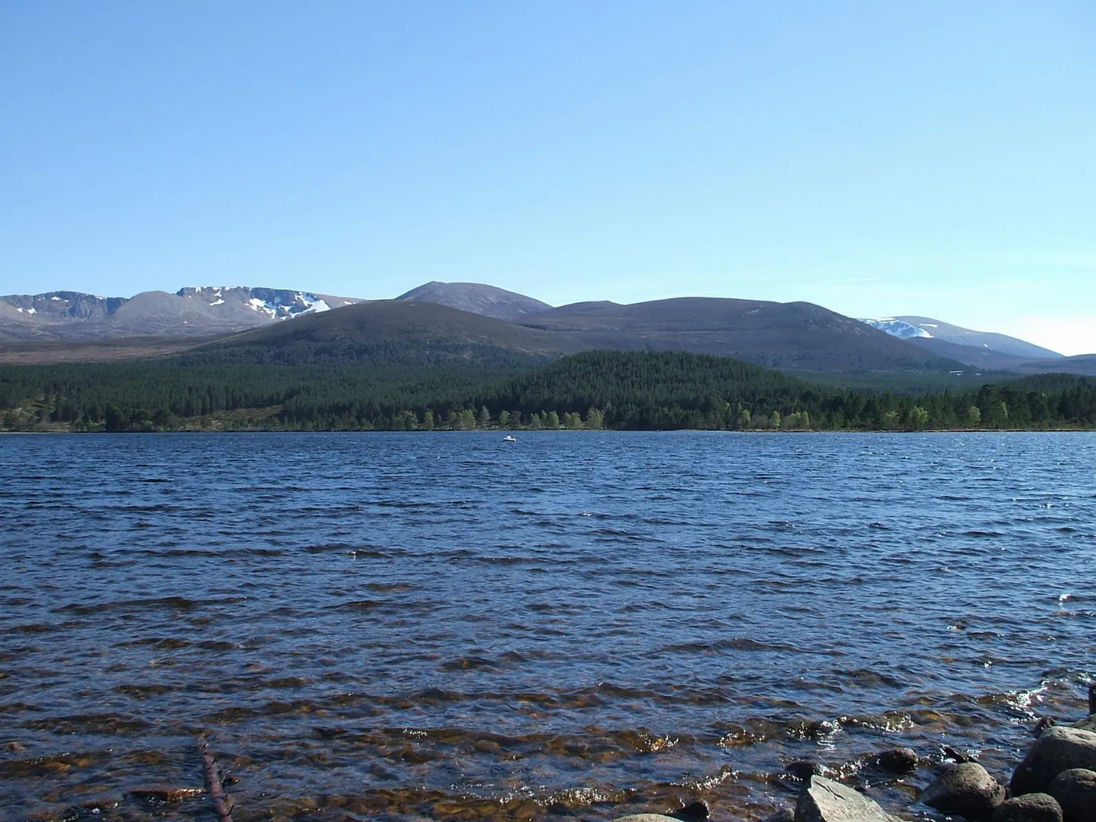
Allow a full day or more. Highlights include the Cairngorm Reindeer Centre in Glenmore, the RSPB Loch Garten reserve near Boat of Garten, known for ospreys, and the Strathspey Railway, a heritage steam line running from Aviemore.
Inverewe Garden and Wester Ross
On the shore of Loch Ewe near Poolewe, Inverewe Garden is a sheltered collection of plants from around the world, created by Osgood Mackenzie from the 1860s on a bare peninsula.
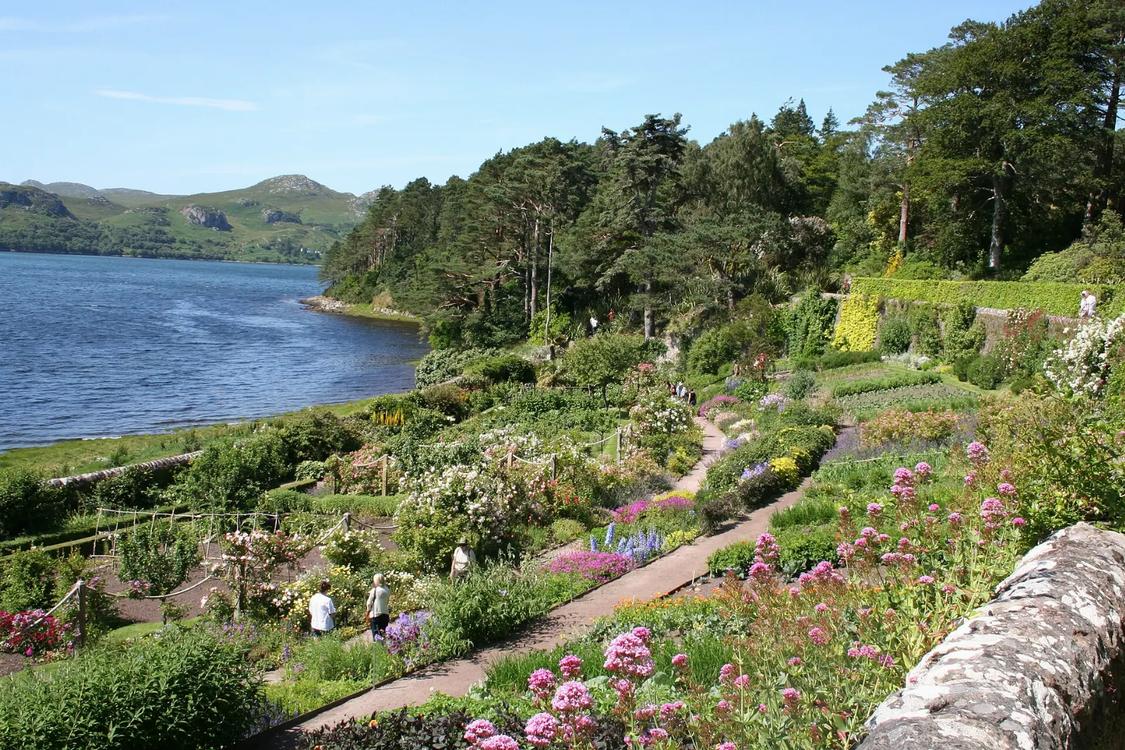
Allow two to three hours. The garden is run by the National Trust for Scotland.
Assynt and Stac Pollaidh
North of Ullapool the land breaks into a strange collection of isolated mountains rising from a plain of rock and water. Suilven, Quinag, Cul Mor and Stac Pollaidh are among the most distinctive.
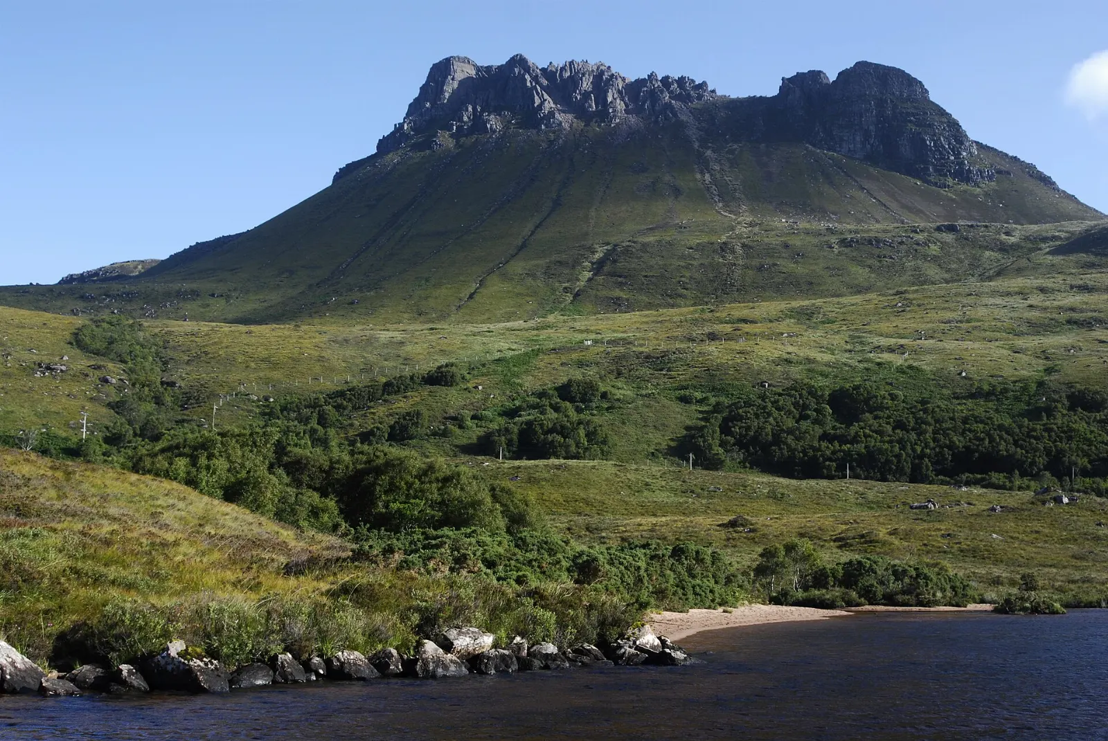
Tip: the true summit involves exposed scrambling, so most walkers are content with the eastern top and the circuit path. Nearby Ardvreck Castle on Loch Assynt and the beaches at Achmelvich and Clachtoll make good stops on the same day.
 Planning a trip to Scottish Highlands?Compare hotels, flights and vacation rentals for Scottish Highlands on Expedia.Book now
Food and local flavors
Highland food is built on what the land and sea provide.
Try Cullen skink, a creamy soup of smoked haddock, potato and onion; haggis served with neeps and tatties; and cranachan, a dessert of raspberries, cream, honey, toasted oats and a splash of whisky.
Away from towns, choice can be limited. Village hotel bars often serve the best food, and kitchens may stop taking orders early in the evening, so plan dinner before a long drive.
Popular dishes to try in Scottish Highlands


Where to stay
Fort William and Glencoe suit hillwalkers and anyone focused on Ben Nevis, Glen Coe and the West Highland Line.
Inverness is the best base for travellers using public transport, families and anyone who wants restaurants and shops in the evening.
Aviemore and Speyside suit outdoor lovers, wildlife watchers and whisky enthusiasts, with forest lodges, cabins and campsites around the Cairngorms.
Ullapool, Gairloch and Torridon serve those exploring the northwest by car.
Where to stay in Scottish Highlands


Best time to visit
Late spring, from May into early June, is often the driest period, with very long daylight hours, fresh green hillsides and few midges.
Winter days are short and many rural businesses close, but the snow-covered mountains are striking and ski areas operate at Cairngorm, Glencoe and Nevis Range when conditions allow.
Getting there and getting around
Inverness Airport has UK domestic flights and a handful of European routes, while Glasgow and Edinburgh airports offer far more international connections and car hire. ScotRail trains run from Glasgow and Edinburgh via Perth and Aviemore to Inverness, and the West Highland Line runs from Glasgow to Fort William and Mallaig.
A car gives you the most freedom.
A suggested itinerary
First day
Drive north from Glasgow along Loch Lomond and across Rannoch Moor into Glen Coe.
Second day
Walk Glen Nevis to Steall Falls in the morning, then drive the Road to the Isles to Glenfinnan for the viaduct and monument.
Third day
Head up the Great Glen to Loch Ness.
Fourth day
Drive west to Eilean Donan, then north through Glen Torridon to Inverewe Garden and on to Ullapool.
Fifth day
Explore Assynt: walk around Stac Pollaidh, visit Ardvreck Castle and the beaches near Lochinver before returning to Inverness, or extend the trip along the north coast.
Practical tips
- Book accommodation early for May to September, especially in the northwest, where options are few and fill months ahead.
- Pack waterproofs, warm layers and midge repellent at any time of year, plus a head net for summer evenings in the west.
- Learn single-track road etiquette: use passing places, never park in them and give a wave of thanks.
- Follow the Scottish Outdoor Access Code, which allows responsible access to most land but asks you to respect farms, livestock and lambing time.
- On high ground, carry a map and compass, check the mountain weather forecast and turn back if conditions worsen.
- Mobile signal is patchy in remote glens, so download offline maps and tell someone your route before a long walk.