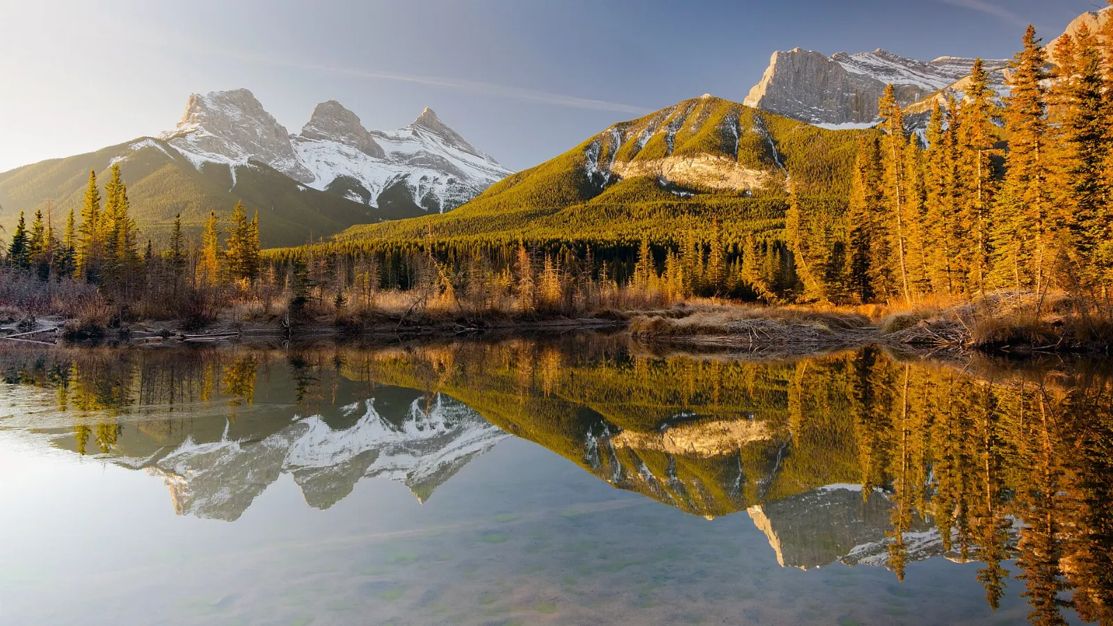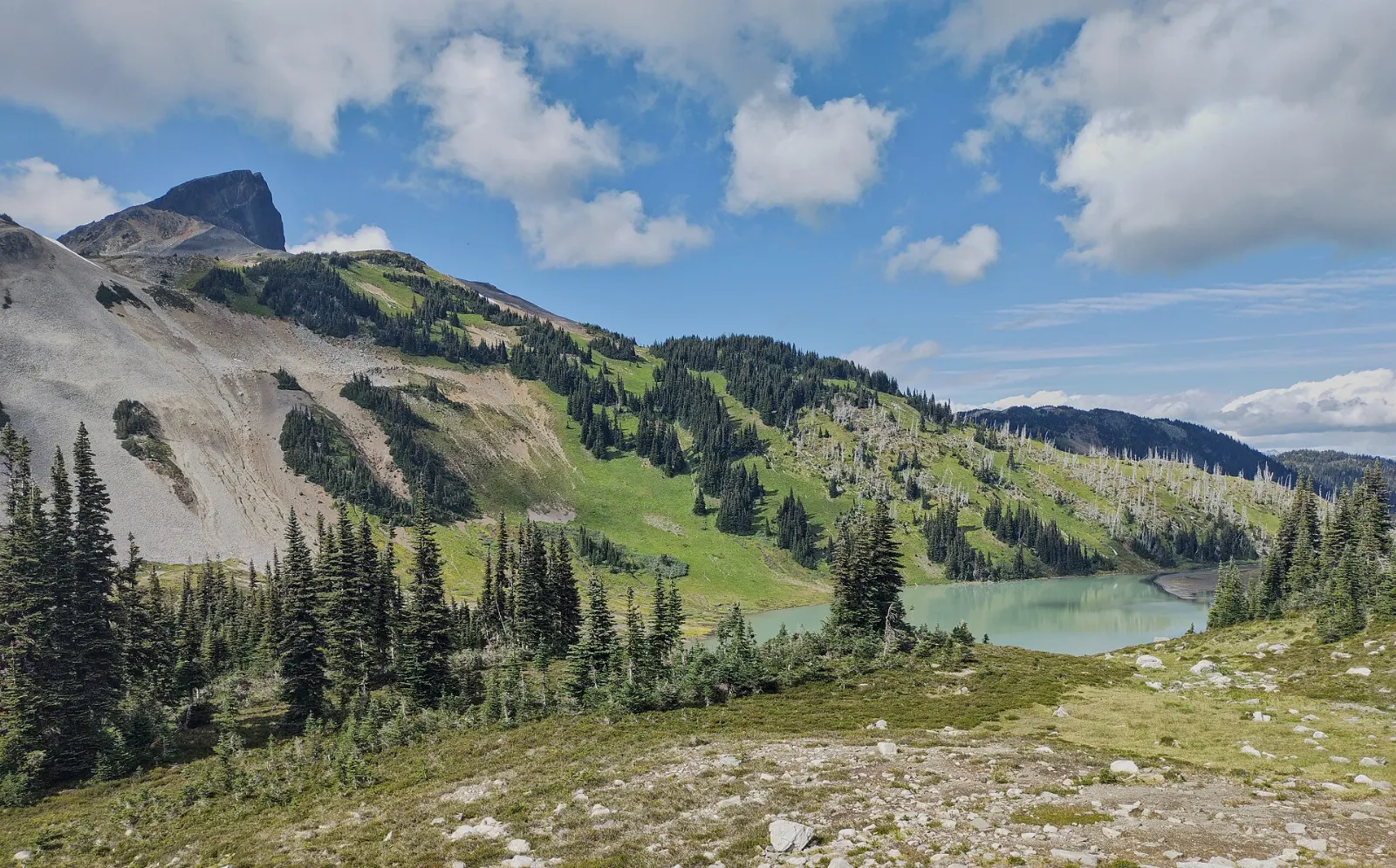
Garibaldi Provincial Park is a wilderness of glaciers, volcanic peaks and bright alpine lakes in the Coast Mountains, about 70 kilometres north of Vancouver. Most visitors reach it from the Sea to Sky Highway, with five trailheads between Squamish and Whistler.
AT A GLANCE
Best time
July to September is the main hiking season with snow-free trails.
How long
Allow a full day for one big hike or two to three days for camping.
Getting there
Drive the Sea to Sky Highway about one to two hours north of Vancouver.
Why visit Garibaldi Provincial Park
The park covers more than 1,950 square kilometres and holds over 150 glaciers, volcanic summits and a chain of lakes. It was established in 1920 and named a Class A provincial park in 1927.
There are more than 90 kilometres of maintained trails, so the park suits strong day hikers and backcountry campers. The western side is the most accessible, while the eastern wilderness is far more remote.
Garibaldi Lake and the Black Tusk
Garibaldi Lake
A steep trail with many switchbacks climbs from the Rubble Creek access point, roughly halfway between Squamish and Whistler, to a lake of vivid turquoise water. A lava dam called The Barrier holds the lake in place.
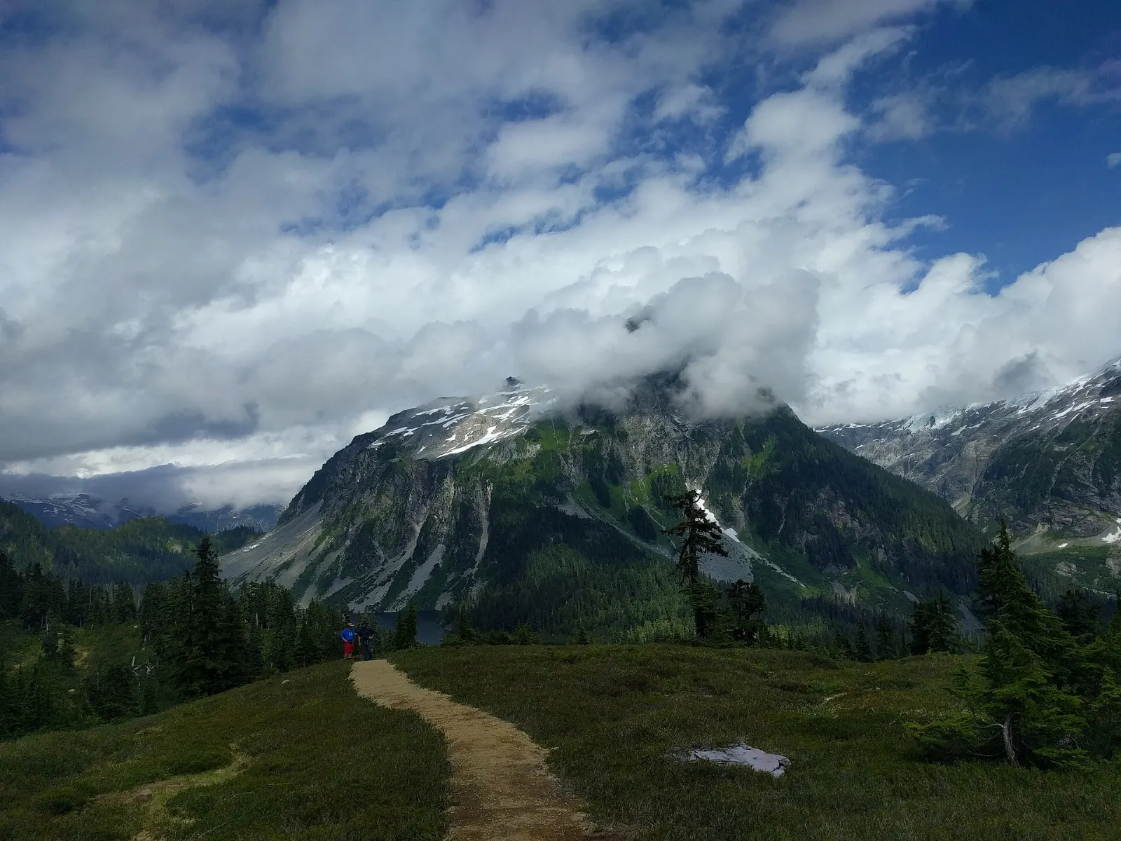
The Garibaldi Lake trail
The route is a long uphill walk through forest before the lake appears, and the grade is steady rather than technical.
Taylor Meadows
This alpine meadow sits near the trail junction and holds a walk-in campground. Wildflowers bloom in July and August, which makes it a lovely place to wander.
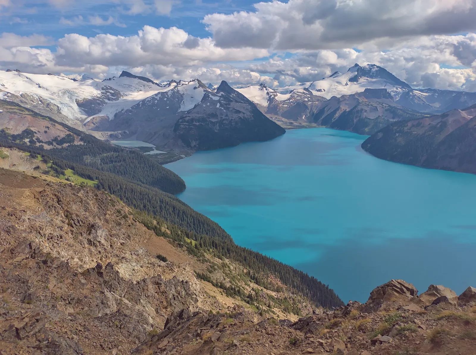
Panorama Ridge
The ridge ends at a spectacular viewpoint overlooking Garibaldi Lake and the glaciers beyond. It is a longer outing that suits fit hikers with early starts.
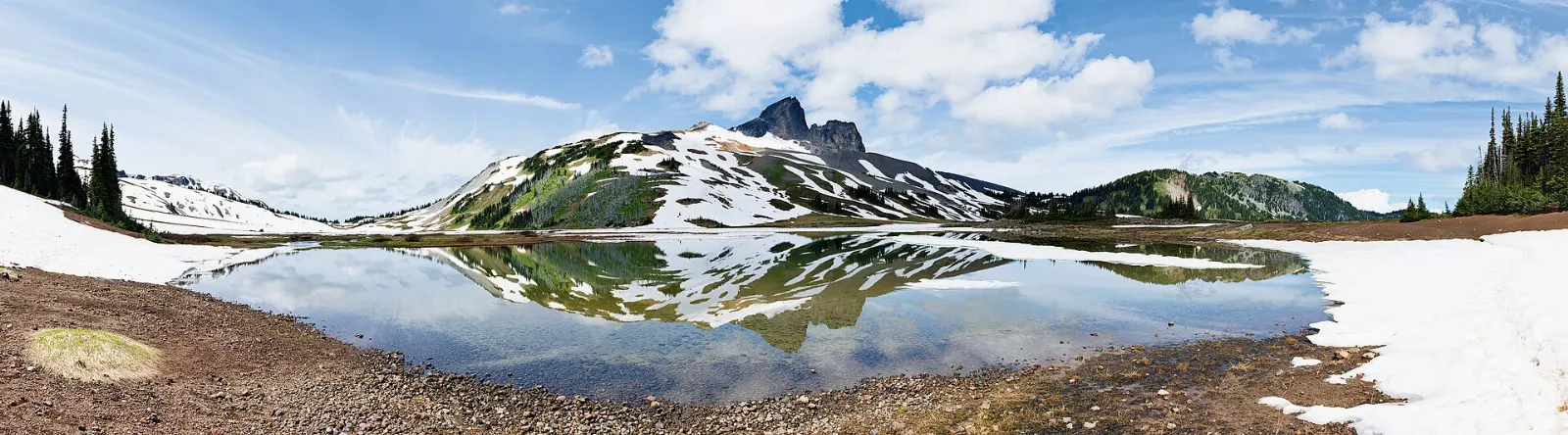
The Black Tusk
The jagged volcanic pinnacle is one of the park's best known landmarks, called the Landing Place of the Thunderbird by the Squamish. The trail reaches its base, and an optional scramble leads toward the top.

Elfin Lakes and the other entrances
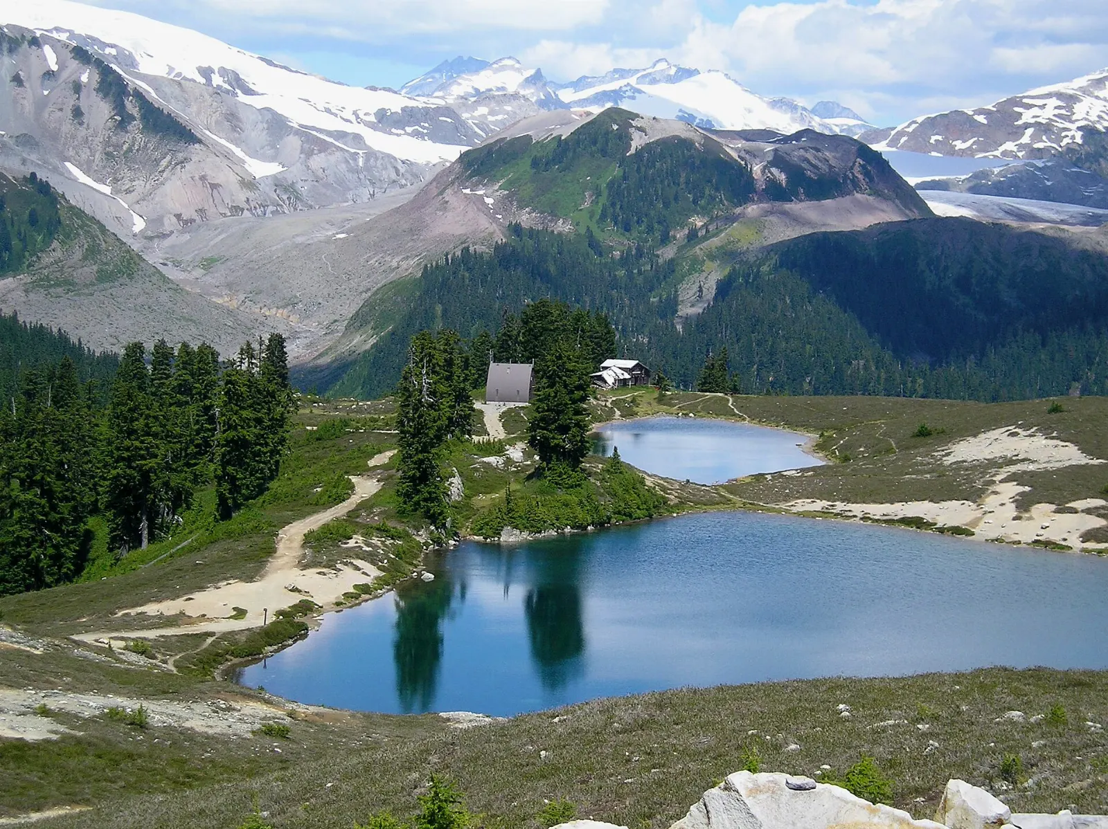
Elfin Lakes
From the Diamond Head entrance, the Elfin Lakes trail leads to two small lakes and a rewarding day hike. A shelter at the lakes can be reserved year round.
Opal Cone and Mamquam Lake
Beyond Elfin Lakes, the trail gives access to the Opal Cone, a cinder cone, and to Mamquam Lake. Both are good add-ons for those with extra energy.
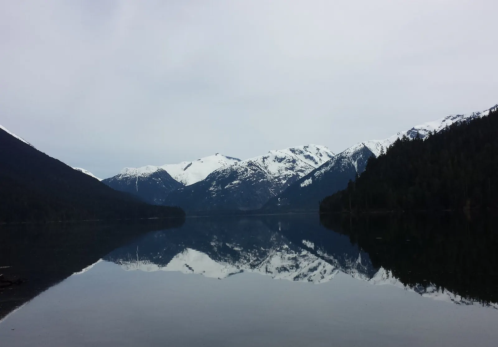
Cheakamus Lake
This lake, just south of Whistler, is the only one in the park where you may canoe or kayak. The walk to it is gentler than most trails in the park.
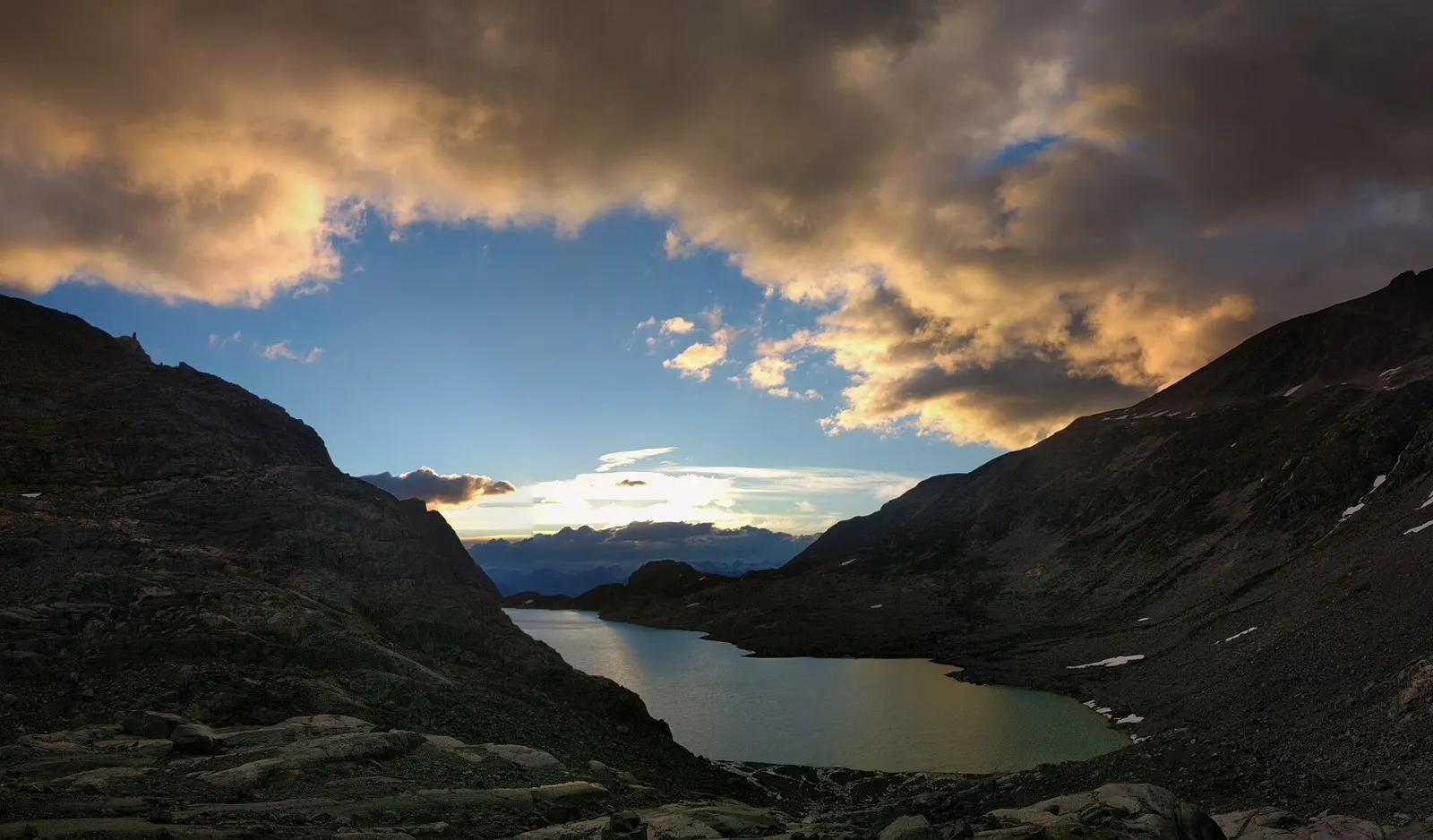
Wedgemount Lake
The northernmost entrance is reached by a deactivated forest service road and leads up a steep trail to a glacier-fed lake. A basic hut there is mainly an emergency shelter.
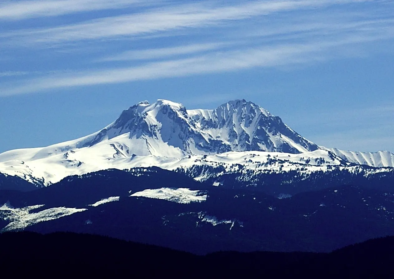
Singing Pass and Mount Garibaldi
Singing Pass is reached from Whistler along Fitzsimmons Creek and opens into alpine terrain.
 Planning a trip to Garibaldi Provincial Park?Compare hotels, flights and vacation rentals for Garibaldi Provincial Park on Expedia.Book now
Wildlife, huts and trail manners
Forests of Douglas fir, western red cedar and western hemlock cover the lower slopes, and alpine meadows open higher up.
Overnight shelters include the Elfin Lakes shelter, which sleeps about 33 people, along with huts at Russet Lake and Wedgemount Lake and the Burton Hut near Garibaldi Lake. Walk-in campsites are scattered across the park and all require reservations.
Rock climbers use granite walls in several areas, and winter visitors snowshoe or ski tour, though winter travel requires avalanche awareness. Whatever the season, tell someone your plan, carry the right gear and leave no trace.
Food and local flavors
There are no services inside the park, so pack all your food and fill water bottles before you hike, then treat or filter any lake or stream water. Squamish and Whistler have grocery stores, bakeries and restaurants for refueling afterward. Try wild salmon, a staple of the Pacific coast, and bannock, a simple bread that is common on trail and camp menus.
Popular dishes to try in Garibaldi Provincial Park


Where to stay
Squamish is the closest town to the southern entrances and is known for its outdoor scene. It suits hikers who want an early start on Diamond Head or Rubble Creek and a quieter base than Whistler.
Whistler is the resort village near the Cheakamus Lake and Singing Pass entrances and has the widest choice of lodging and restaurants. It suits families and groups who want comfort after trail days.
Where to stay in Garibaldi Provincial Park


Best time to visit
Summer from June to August is the driest season, with daytime highs of about 15 to 25 °C. Snow can linger at higher elevations well into July. Wildflower meadows peak in July and August, and September offers cooler weather with fewer crowds.
By October the first snow arrives at higher elevations, and winter brings deep snow and avalanche risk. Most trails need snowshoes, skis and winter skills in that season. Spring brings mud, snowmelt and high stream levels. Check current conditions before you set out. Trail reports from BC Parks and recent hikers are the best guide to snow levels, closures and water crossings, and conditions can differ sharply between the Squamish and Whistler sides of the park.
Getting there and getting around
The park has five access points off Highway 99, the Sea to Sky Highway, at Diamond Head, Rubble Creek for Garibaldi Lake and the Black Tusk, Cheakamus Lake, Singing Pass and Wedgemount Lake.
Hiking is the main way to get around inside the park. Motorized travel is prohibited except on the park roads, and bicycles are allowed only in a couple of areas.
A suggested itinerary
First day
Start at Rubble Creek and hike to Garibaldi Lake, then continue to Taylor Meadows if you have a camping reservation.
Second day
Take the Panorama Ridge or Black Tusk trail in the morning, then descend and drive to Squamish or Whistler for a hot meal.
Practical tips
- Reserve overnight camping and huts in advance because walk-in sites require reservations.
- Check BC Parks for current day-use and trail information before you go.
- Filter, boil or treat all lake and stream water.
- Store food properly because black bears and other wildlife live in the park.
- Start early and carry layers, since weather in the mountains changes fast.