Bend sits on the dry eastern side of Oregon's Cascade Range, where ponderosa pine forest meets sagebrush and the Deschutes River cuts straight through town.
AT A GLANCE
Best time
Late June to September for trails and lakes; January to March for skiing.
How long
Three to four days covers town, Smith Rock and the Newberry volcano.
Getting there
Fly into Redmond Municipal Airport or drive about three and a half hours from Portland.
Why visit Bend
Bend began as a lumber town, and the old mill sites along the river are now parks, shops and a concert venue. What draws most visitors, though, is the landscape.
The variety is the real point. Mount Bachelor and the Three Sisters rise to the west, alpine lakes line a scenic byway, and to the south the Newberry National Volcanic Monument protects lava tubes, cinder cones and a huge caldera holding two lakes. North of town the Crooked River has carved the orange cliffs of Smith Rock.
Downtown, the river and the Old Mill
Drake Park and Mirror Pond
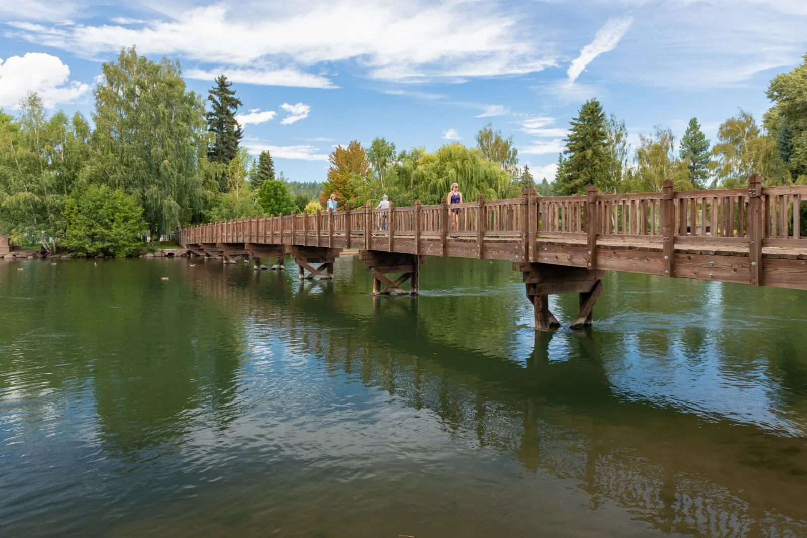
Downtown Bend backs onto Drake Park, a lawn and tree-lined stretch beside Mirror Pond, where the Deschutes widens and slows behind a small dam. Ducks and geese crowd the banks, paddleboarders drift past, and the footbridge to the far shore gives you the classic view of the river with the older homes of the west side behind it.
The Old Mill District and the Deschutes River Trail
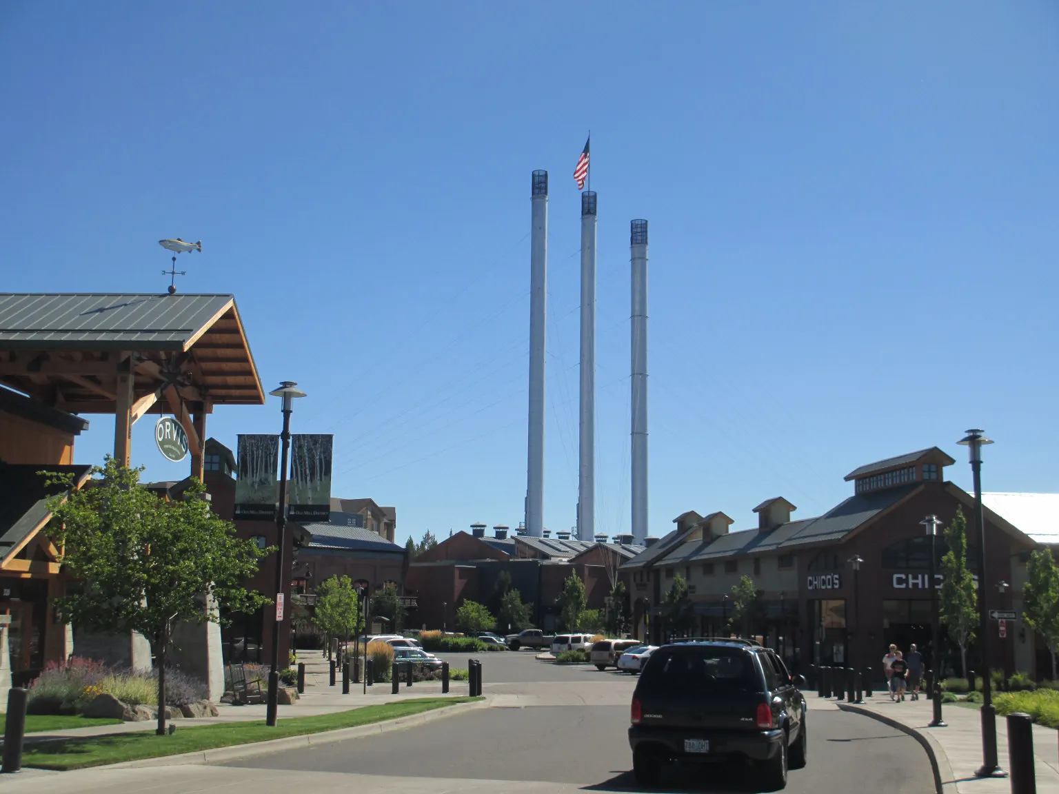
A short walk or bike ride upstream brings you to the Old Mill District, built on the grounds of two large sawmills that operated here for much of the twentieth century.
Floating the Deschutes
On hot summer afternoons, much of Bend is on the river. The standard float runs from Riverbend Park down to Drake Park, passing through a channel at the Bend Whitewater Park, and takes one to two hours.
Pilot Butte State Scenic Viewpoint
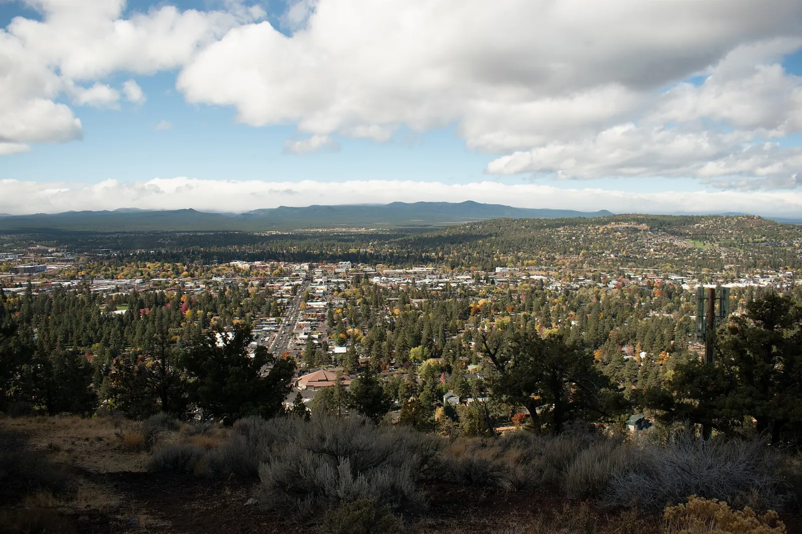
Pilot Butte is an extinct cinder cone sitting right in Bend's east side, and its summit gives you a full panorama of the Cascades, from Mount Hood on clear days down past the Three Sisters and Broken Top to Mount Bachelor.
Waterfalls, lakes and peaks to the west
Tumalo Falls
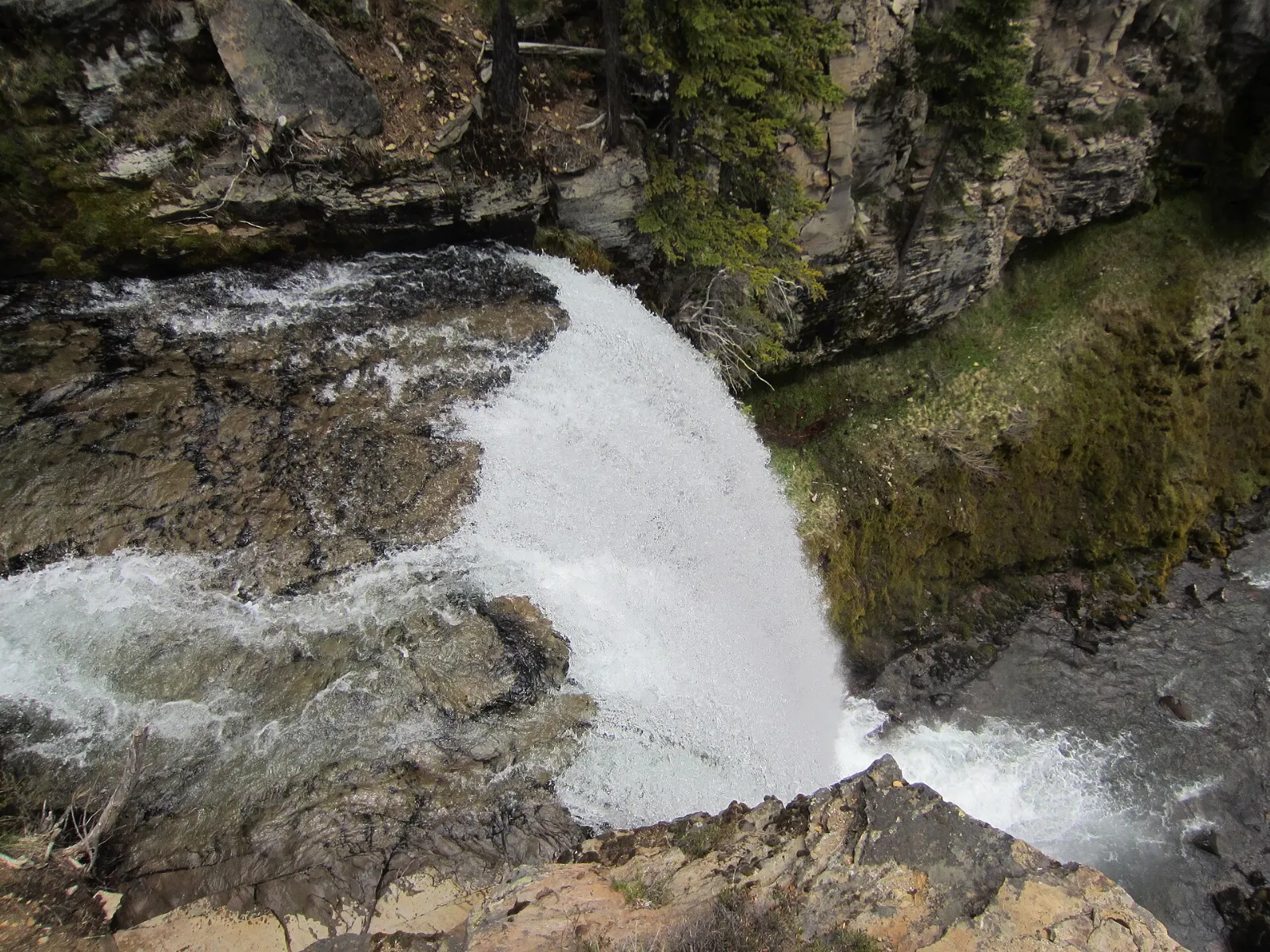
Tumalo Falls is a tall plunge waterfall in the Deschutes National Forest, reached by Skyliners Road west of town. A short walk from the parking area brings you to the main viewpoint, and a steeper trail climbs to an upper overlook beside the lip of the falls.
Mount Bachelor
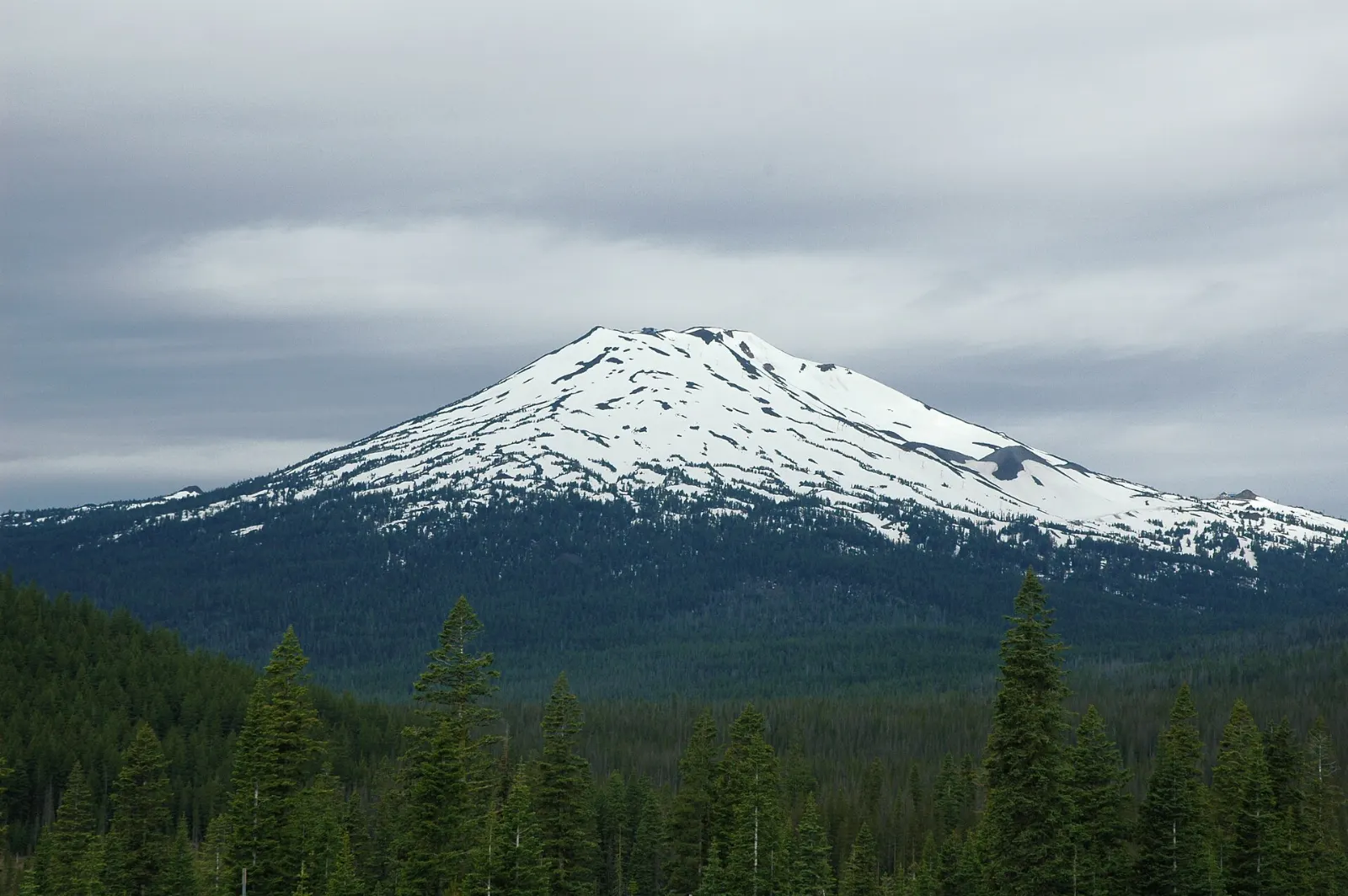
Mount Bachelor is a broad volcano about half an hour west of Bend on the Cascade Lakes Highway and is home to one of the largest ski areas in the Pacific Northwest. Winter brings downhill skiing, a Nordic center with groomed trails and tubing.
The Cascade Lakes Scenic Byway
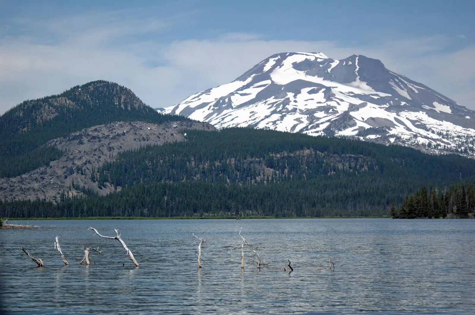
Past Mount Bachelor, the Cascade Lakes Highway becomes a designated scenic byway that loops through a chain of mountain lakes. Sparks Lake, a shallow lake fringed with lava rock, is the favorite for kayaking and paddleboarding, with South Sister and Broken Top reflected in still morning water. Todd Lake, Devils Lake, Elk Lake and Lava Lake follow, each with picnic spots, trailheads or rustic campgrounds.
Volcanoes, lava tubes and canyons
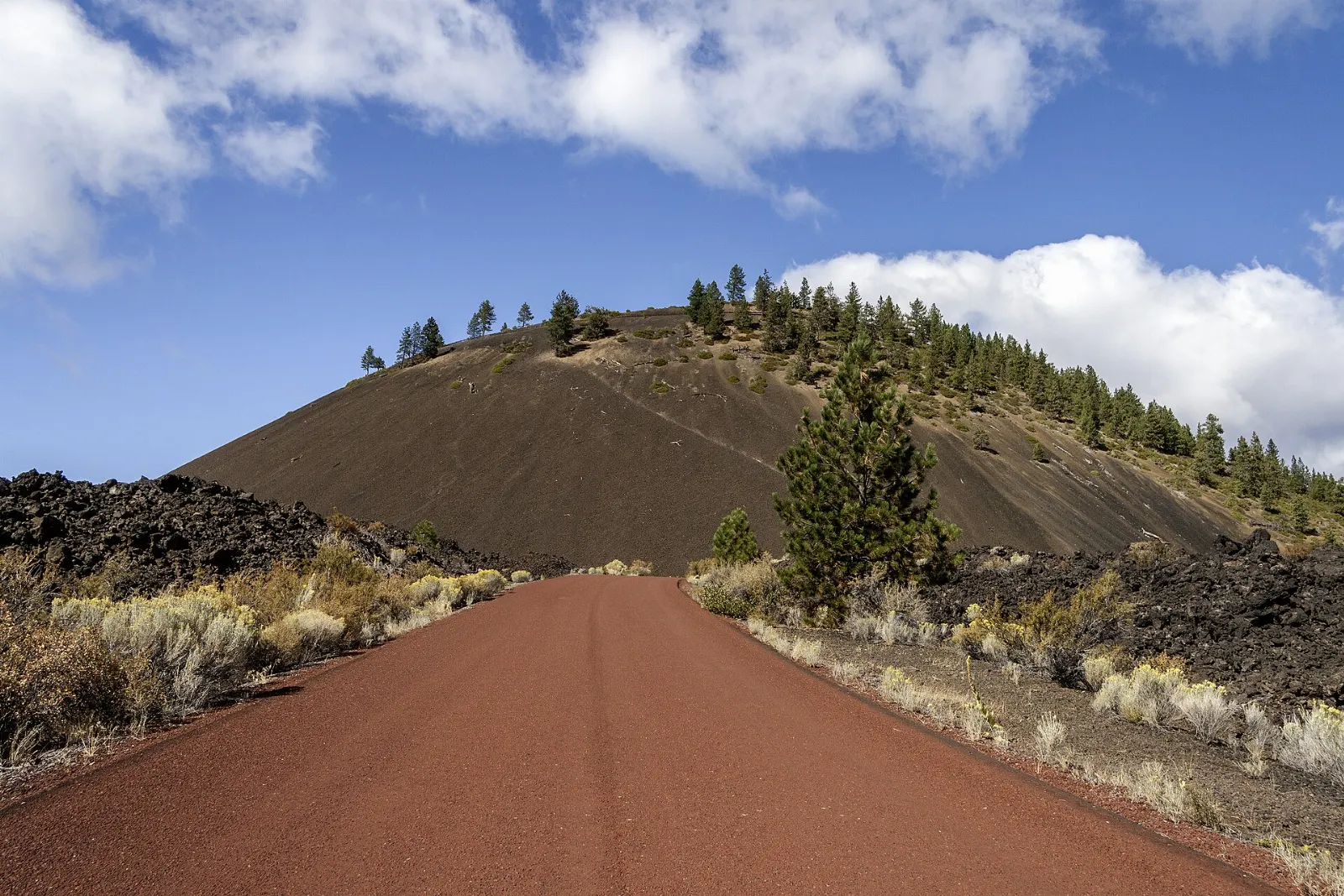
Lava Lands and Lava Butte
Start your exploration of the Newberry National Volcanic Monument at the Lava Lands Visitor Center, just off US 97 south of Bend. Exhibits explain how the Newberry Volcano shaped this landscape, and short paved trails cross a jagged lava flow.
Lava River Cave
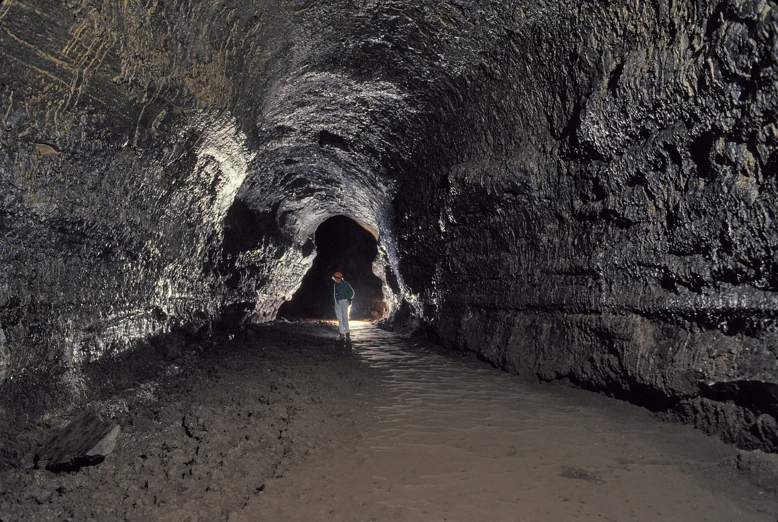
The Lava River Cave is a lava tube about a mile long, the longest in Oregon, and walking its length and back takes around an hour and a half. You descend steps into a cold, dark tunnel that stays around 42 degrees Fahrenheit all year, so bring a warm layer and two reliable light sources.
Newberry Caldera, Paulina Lake and the Big Obsidian Flow
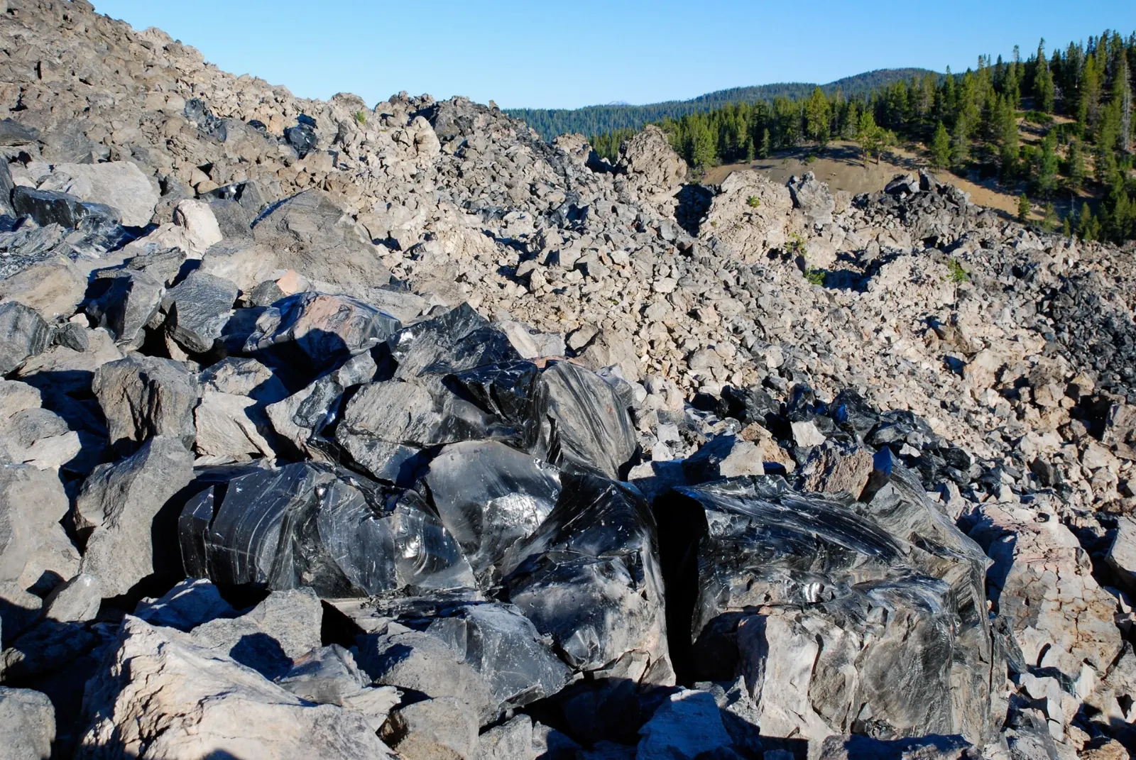
Further south, a road climbs into the Newberry Caldera, a vast collapsed summit holding Paulina Lake and East Lake. The Big Obsidian Flow Trail is a short loop with stairs that climbs onto a flow of shiny black volcanic glass roughly 1,300 years old; stay on the trail and leave every piece of obsidian where it lies.
Smith Rock State Park
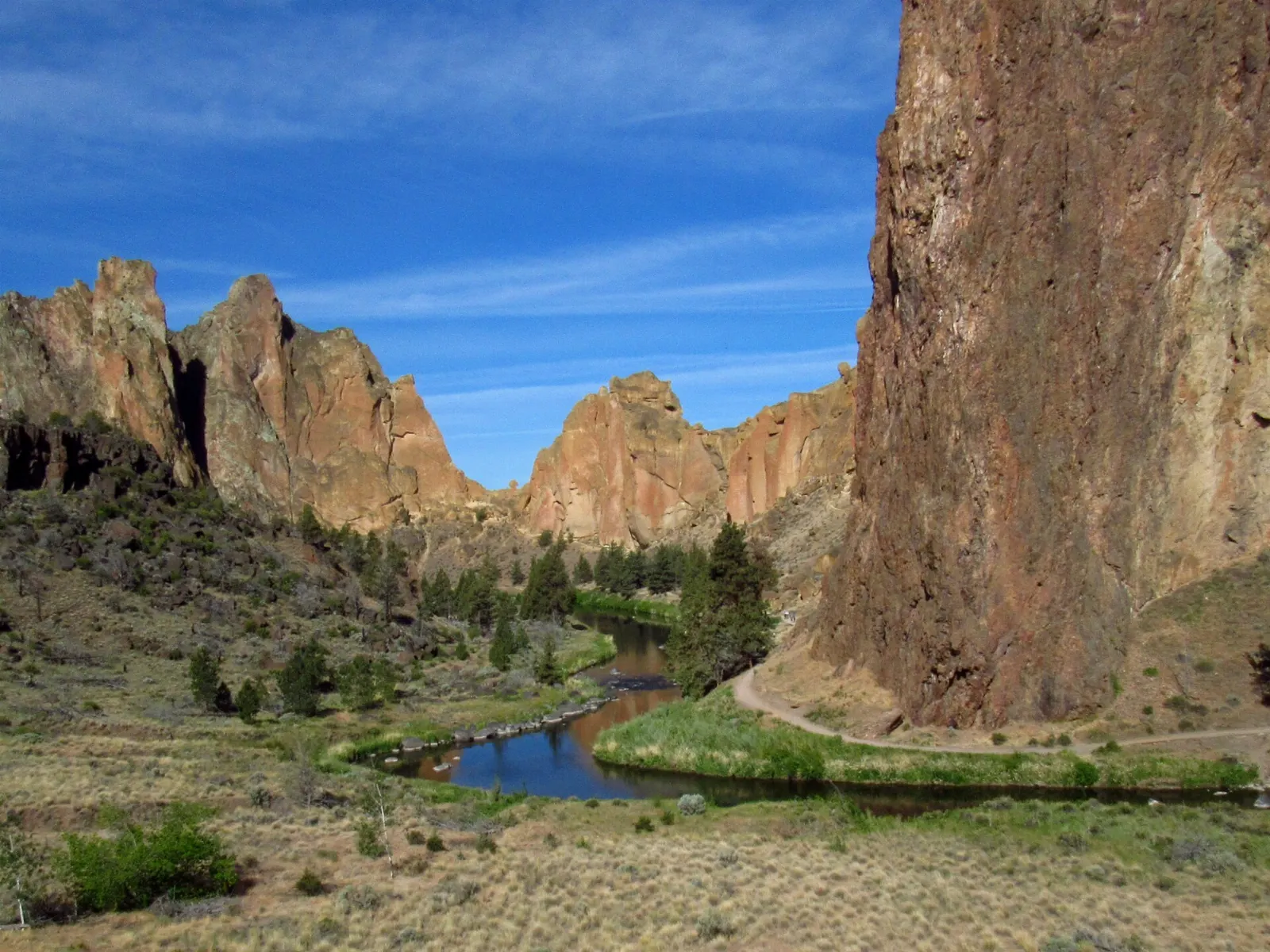
About forty minutes north of Bend near Terrebonne, Smith Rock State Park is famous among rock climbers, but you do not need a rope to enjoy it.
High Desert Museum
Just south of Bend on US 97, the High Desert Museum combines natural history, Indigenous culture and frontier history of the dry interior West. Indoor galleries cover the Columbia Plateau tribes and settlement, and outdoor exhibits include a historic ranch and sawmill and live animal habitats with birds of prey, otters and porcupines.
Food and local flavors
Beer is central to Bend's food culture. The town has dozens of breweries for its size, and the Bend Ale Trail, a self-guided route through many of them, comes with a passport you can collect stamps in.
Beyond beer, look for dishes built on Northwest ingredients: wild salmon, Pacific oysters brought over the mountains, local grass-fed beef and lamb, and huckleberries in late summer pastries and ice cream.
Popular dishes to try in Bend


 Planning a trip to Bend?Compare hotels, flights and vacation rentals for Bend on Expedia.Book now
On WiserMap
Local businesses in Bend

Oregon Appliance Repair
Oregon Appliance Repair is a family-owned appliance repair business serving Bend, Portland, and surrounding Oregon areas. It offers professional repair services...
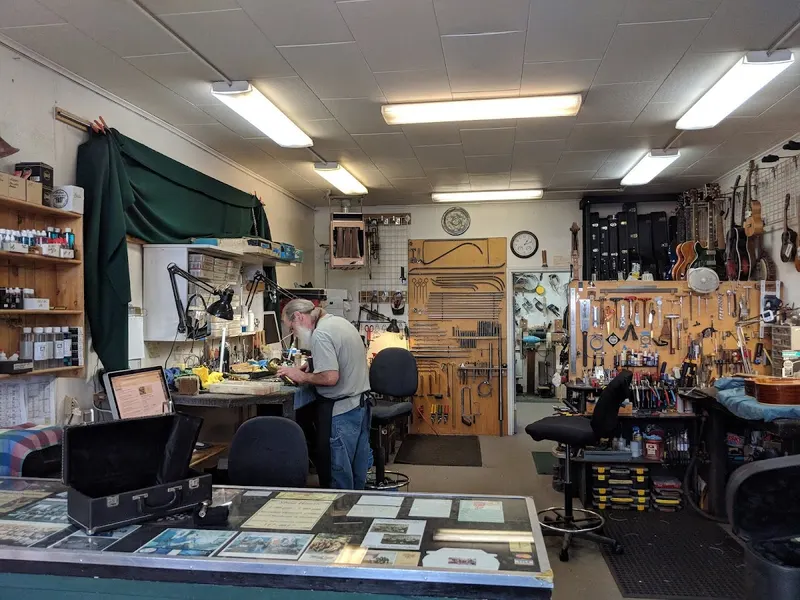
Bend Instrument Repair
Bend Instrument Repair is a professional instrument repair business in Bend, Oregon, specializing in woodwind, brass, and string instrument repairs including cl...
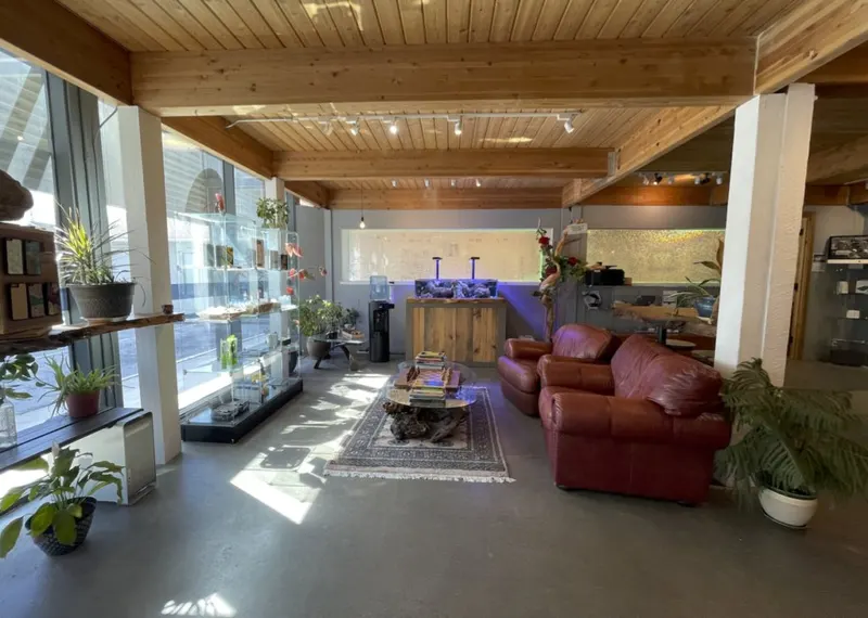
The iPhone Professor
The iPhone Professor is an electronics repair business serving Bend, Oregon. It provides fast iPhone and iPad repairs including screen and battery replacements,...
Where to stay
Downtown suits travelers who want to walk to restaurants, breweries and Drake Park without driving in the evening.
The west side, including the area around Galveston Avenue and the neighborhoods toward Century Drive, puts you closest to Mount Bachelor, Tumalo Falls and the lakes.
Sunriver and the south end, about twenty minutes from town, is a resort community with bike paths and vacation rentals.
Redmond is a quieter base to the north, close to the airport and Smith Rock.
Where to stay in Bend


Best time to visit
Summer, from late June through August, is peak season. Days are warm and dry, the Cascade Lakes Highway and the caldera road are open, and the river float is in full swing.
September and early October are many visitors' favorite months.
Winter, from December to March, is ski season at Mount Bachelor, with snowshoeing and cross-country skiing at sno-parks along the Cascade Lakes Highway.
Getting there and getting around
Redmond Municipal Airport, about a twenty-five-minute drive north of Bend, has direct flights from several West Coast and mountain-region hubs.
A car is the easiest way to reach Smith Rock, the Newberry monument, Tumalo Falls and the lakes. Cascade East Transit runs local buses in Bend and regional routes to Redmond and other towns, and in winter a seasonal bus has served Mount Bachelor.
A suggested itinerary
First day
Start with a sunrise walk up Pilot Butte to get your bearings. After breakfast on the west side, walk the Deschutes River Trail loop through the Old Mill District.
Second day
Drive south to the Lava Lands Visitor Center and Lava Butte, then go underground at the Lava River Cave if you have secured a reservation. Continue up into the Newberry Caldera for the Big Obsidian Flow Trail, Paulina Falls and lunch by Paulina Lake.
Third day
Leave early for Smith Rock and hike the River Trail, adding Misery Ridge if you are comfortable with steep climbs.
Practical tips
- Book summer and holiday lodging well ahead; Bend fills up on weekends from June through September.
- Reserve Lava River Cave entry on Recreation.gov as soon as your dates are firm; tickets are released on a rolling basis.
- Carry the right parking passes: a recreation pass for national forest trailheads and the Newberry sites, and a state park permit for Smith Rock.
- The high desert is dry and sunny, so carry more water than you think you need and use sun protection even on cool days.
- Check wildfire and air quality updates in late summer, and follow all fire restrictions on public lands.
Find local businesses in Bend on WiserMap
Looking for a gear rental shop, a brewery near the river, a cafe for an early start or a guide for Smith Rock?