This guide groups the best places to visit by area, with how long to allow at each stop, what to eat, where to base yourself, and a plan that keeps the driving under control.
AT A GLANCE
Best time
July through September for open high roads, drier weather and wildflowers; winter for storm watching on the coast.
How long
Three to four days to see the mountains, rain forest and coast without rushing.
Getting there
Fly into Seattle, take a Puget Sound ferry and drive US 101 to Port Angeles, the main gateway town.
Why visit Olympic National Park
Olympic is three parks in one. The mountainous interior, crowned by glaciated Mount Olympus, is ringed by temperate rain forest on its western valleys, and beyond that runs one of the longest stretches of undeveloped coastline in the lower 48 states.
The park is also a place of recovery. On the Elwha River, the removal of two dams in the early 2010s was one of the largest dam removal projects in the world, and salmon have returned to stretches of river they could not reach for a century.
The north side: Hurricane Ridge, Lake Crescent and Sol Duc
The north side of the park is the most accessible from Port Angeles and makes an ideal first day. It combines a high mountain viewpoint, a deep blue lake and a waterfall in an old-growth forest.
Hurricane Ridge
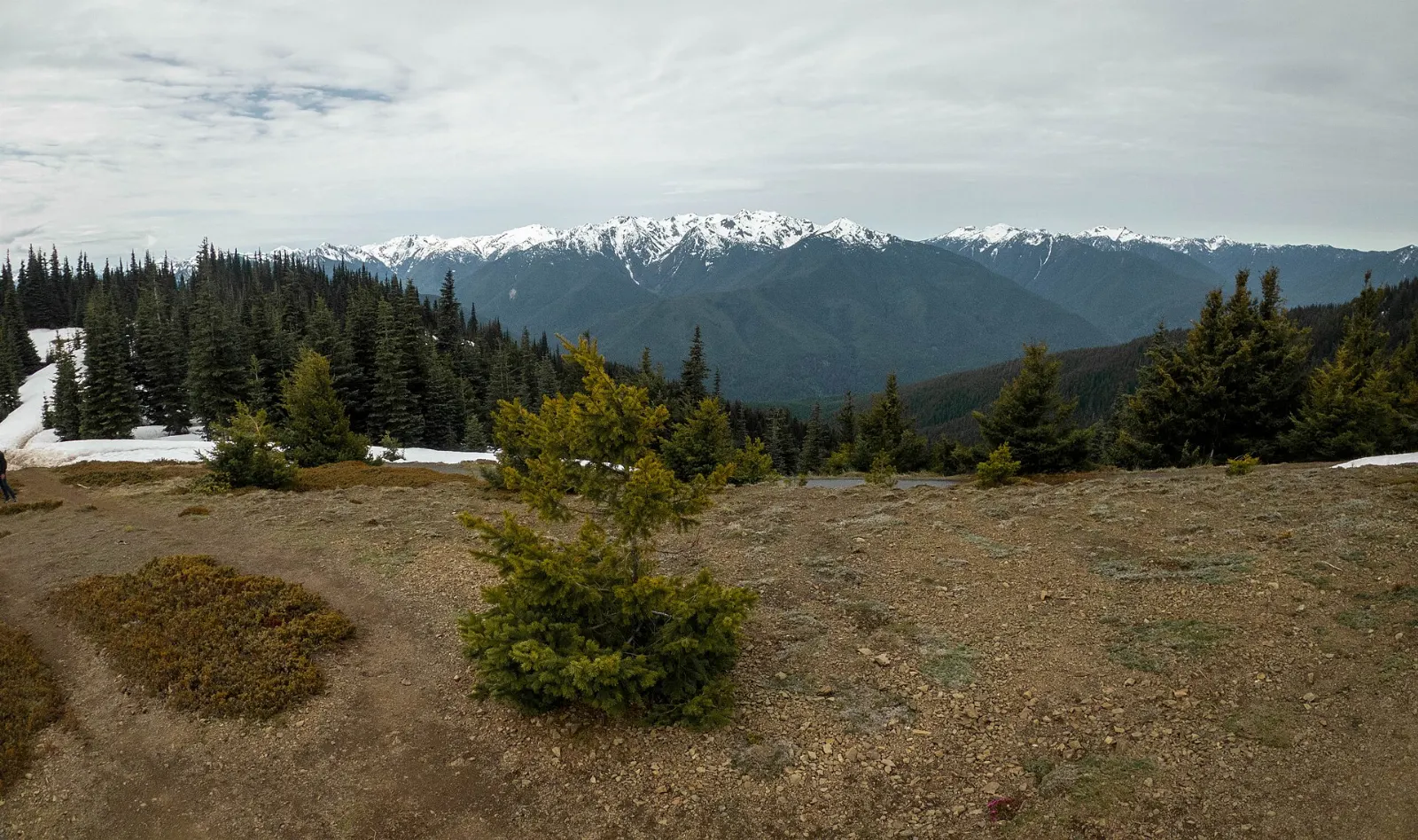
A winding paved road climbs about 17 miles from Port Angeles to Hurricane Ridge, which sits at more than 5,000 feet. On a clear day the view takes in a wall of snowy peaks to the south and the Strait of Juan de Fuca and Vancouver Island to the north.
Hurricane Hill
From the end of the road beyond the main parking area, the Hurricane Hill trail climbs about 1.6 miles each way on a paved path to a rounded summit with a 360 degree panorama. Marmots are common in the meadows along the way.
Lake Crescent
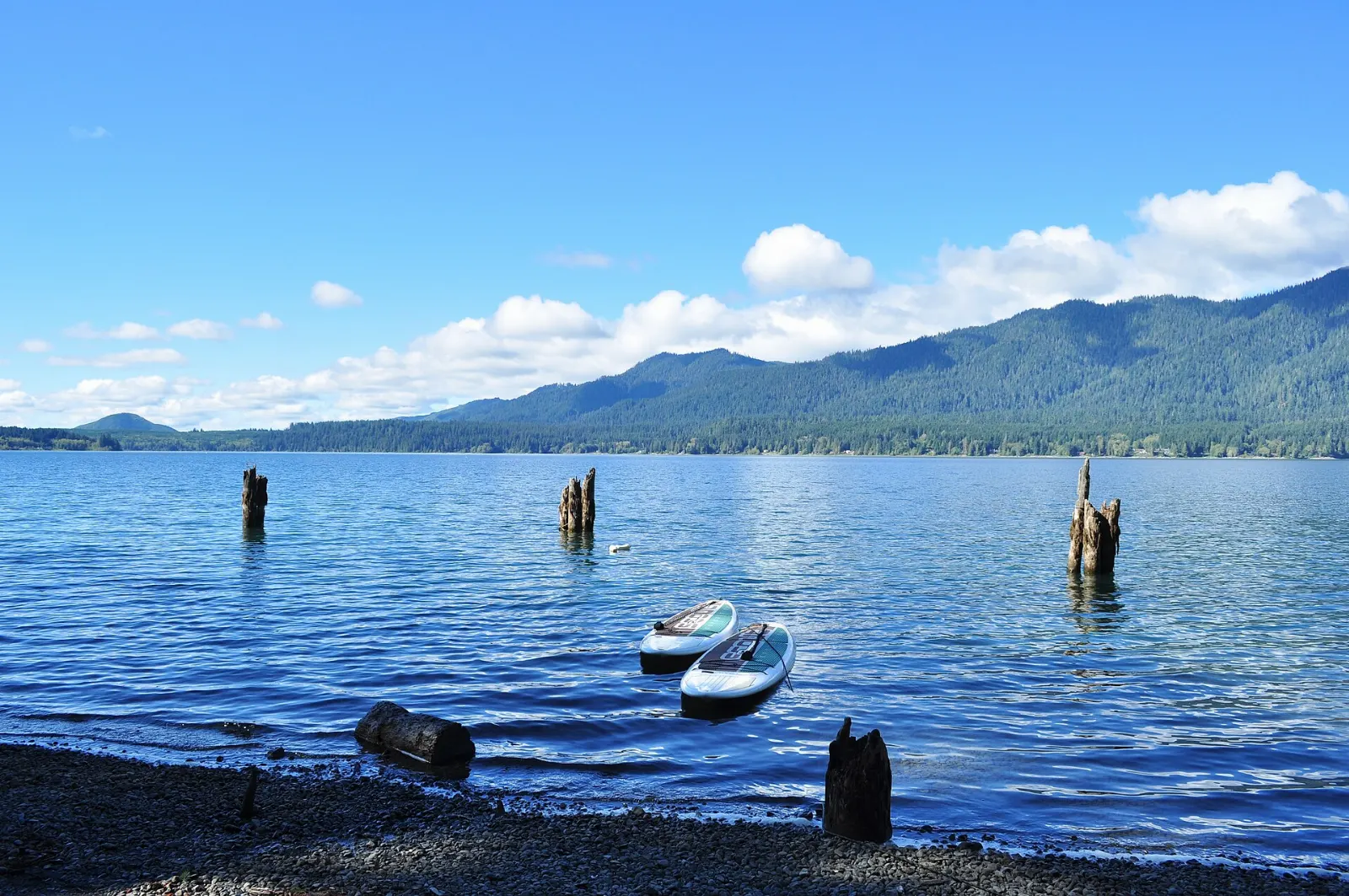
About 20 miles west of Port Angeles, US 101 traces the southern shore of Lake Crescent, a glacially carved lake more than 600 feet deep whose clear water shifts from teal to deep blue.
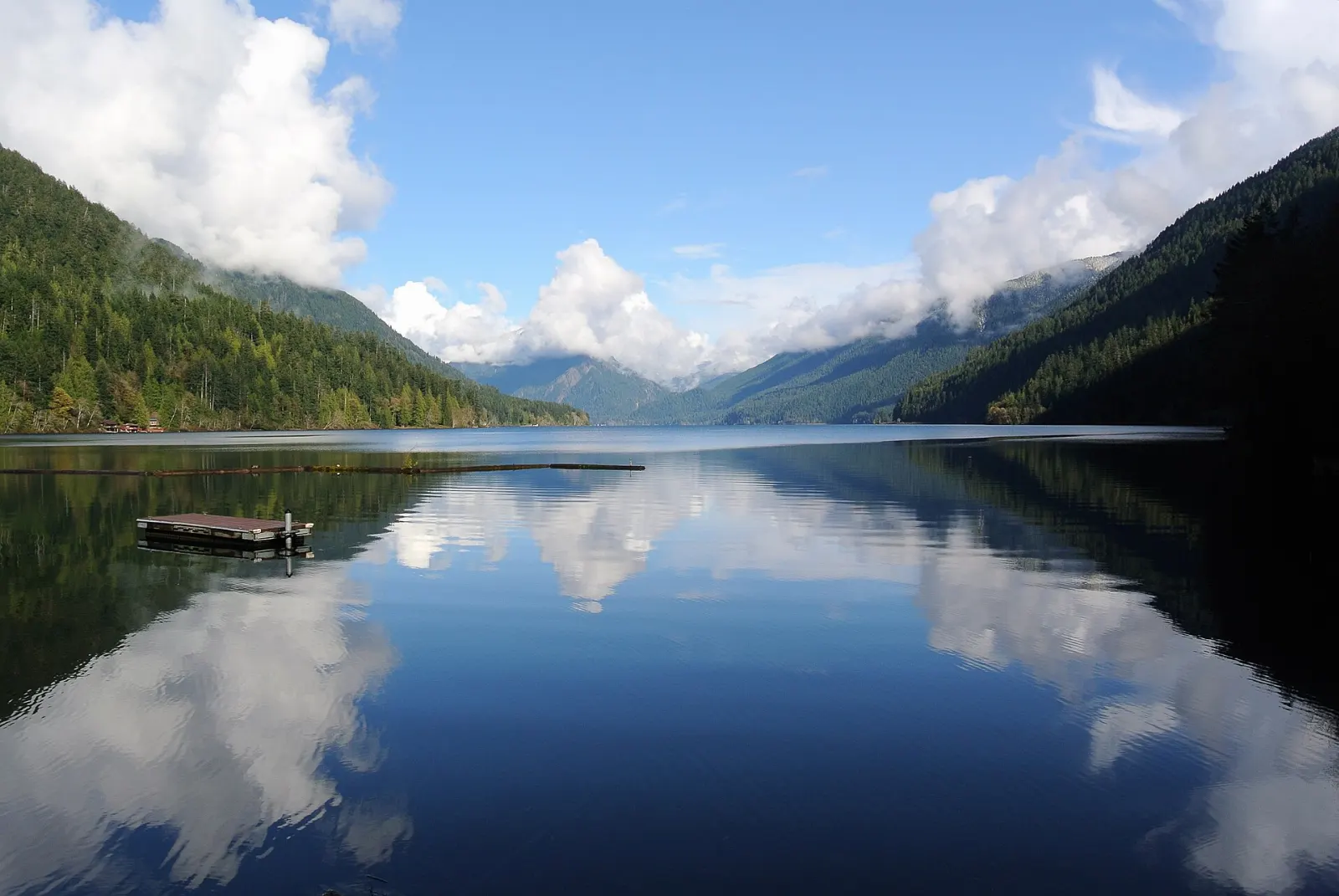
Marymere Falls and Mount Storm King
From the Storm King Ranger Station area on Lake Crescent, an easy trail of under a mile each way leads through old-growth forest to Marymere Falls, a delicate 90 foot waterfall. Strong hikers can branch off to Mount Storm King, a relentlessly steep climb with big views over the lake; the last stretch is a rocky scramble beyond the end of the maintained trail.
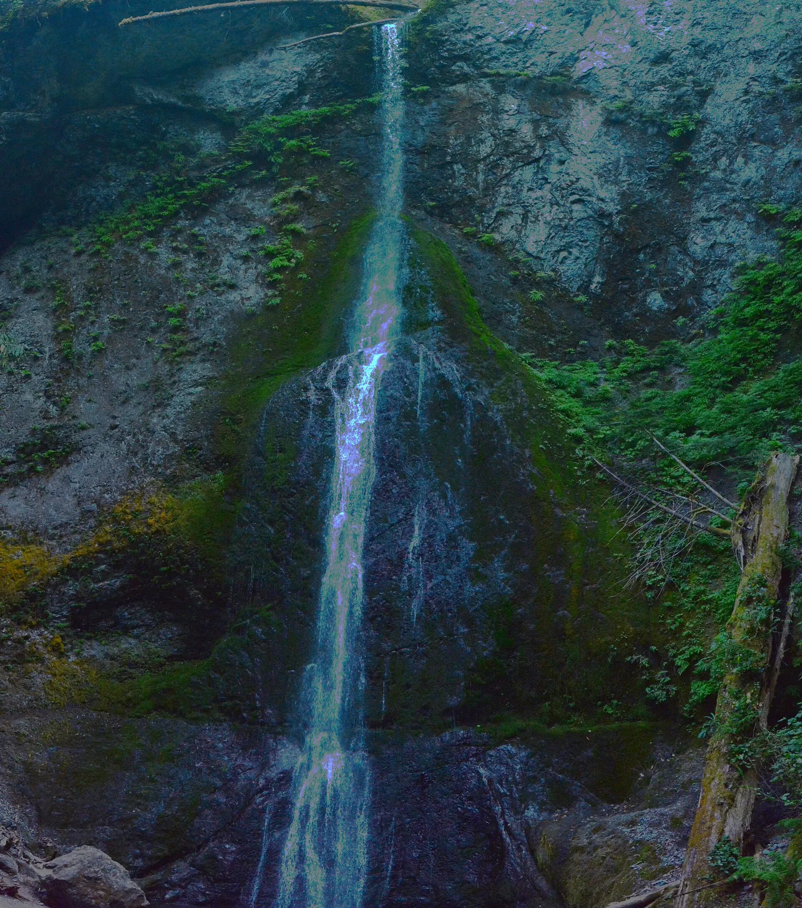
Sol Duc Falls
The Sol Duc Road leaves US 101 west of Lake Crescent and runs about 14 miles up a forested valley. At its end, a trail of under a mile each way leads to Sol Duc Falls, where the river splits into several channels before dropping into a narrow mossy canyon.
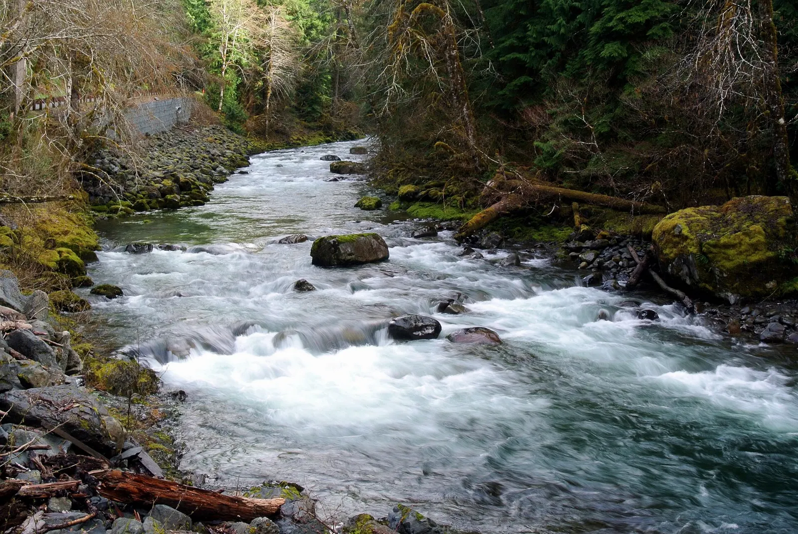
The rain forests: Hoh and Quinault
The west-facing valleys of the Olympics catch so much moisture that they support some of the finest temperate rain forest in the world. Two valleys are easy to reach by car and offer short, rewarding walks.
Hoh Rain Forest
The Upper Hoh Road runs about 18 miles from US 101 south of Forks to the Hoh Rain Forest Visitor Center. Two short loops start here. The Hall of Mosses, under a mile long, winds beneath bigleaf maples wrapped in hanging club moss and past nurse logs where rows of young trees grow from fallen giants.
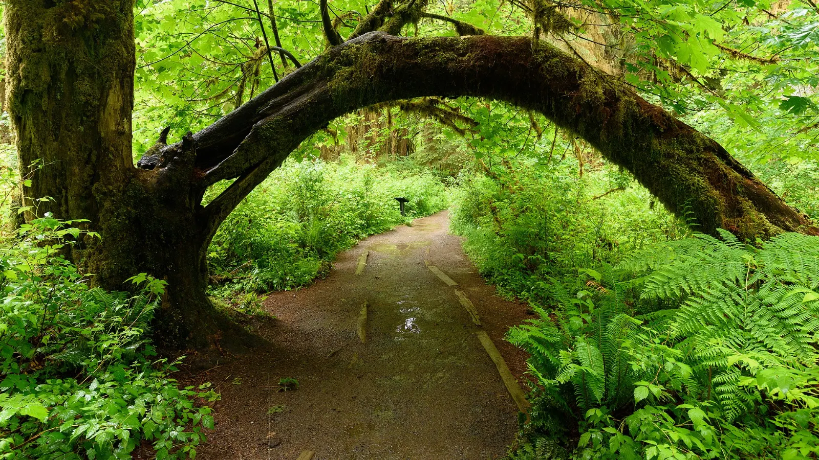
Lake Quinault
In the southwest corner of the peninsula, Lake Quinault sits at the mouth of a broad rain forest valley sometimes called the Valley of the Rain Forest Giants. Short trails on both shores, including the Maple Glade trail on the north shore and the Quinault Loop on the south shore, pass huge Sitka spruce, western red cedar and Douglas fir.
The wild Pacific coast
The park protects a long strip of coastline where forest meets the ocean. Sea stacks, tide pools, and huge piles of bleached driftwood define these beaches, and fog and wind are part of the experience.
Ruby Beach
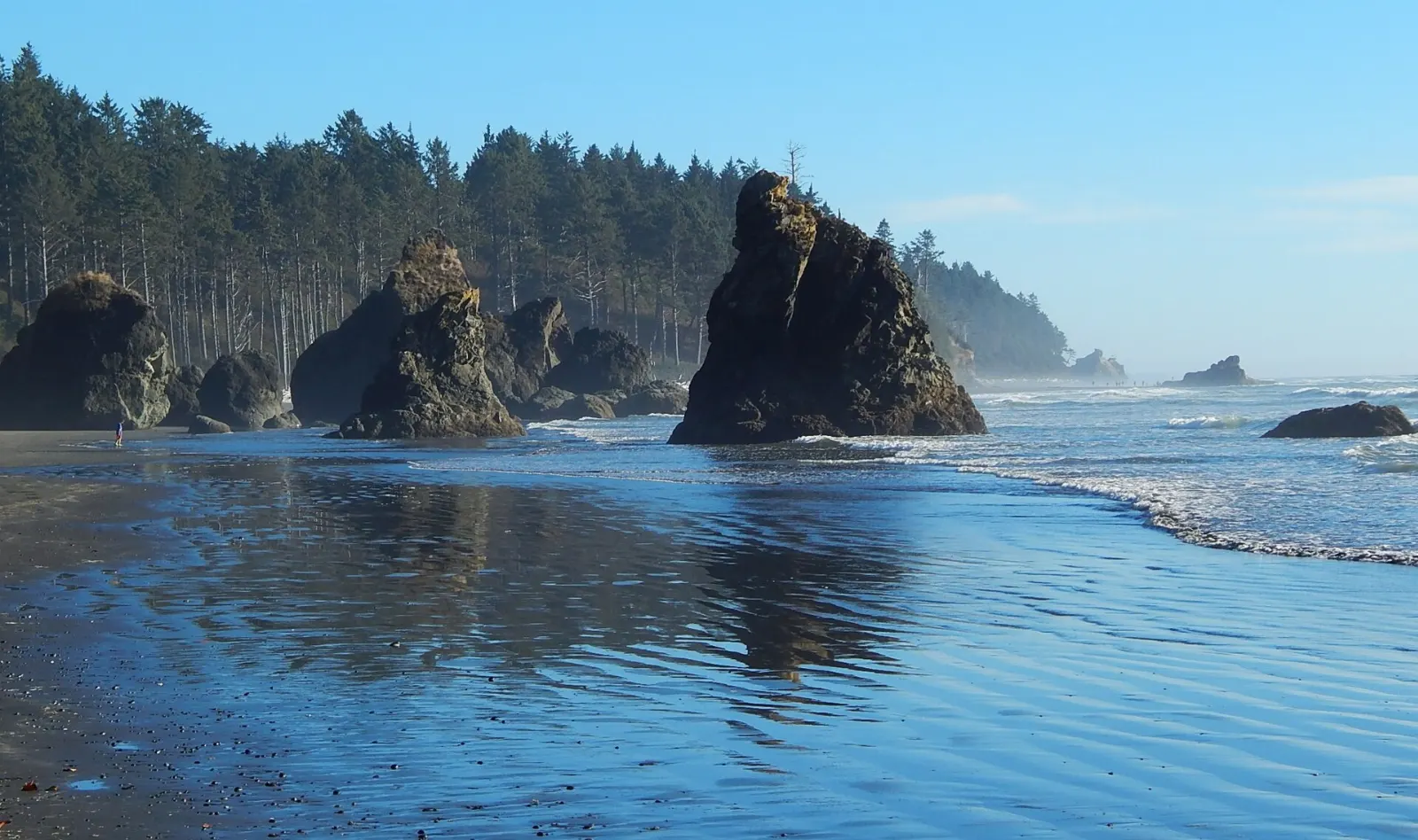
Ruby Beach is the northernmost of the Kalaloch-area beaches and the most photographed. A short, steep trail drops from the parking area to a cove where Cedar Creek meets the sea, with Abbey Island and other sea stacks offshore and driftwood piled against the bluff.
Kalaloch and the Tree of Life
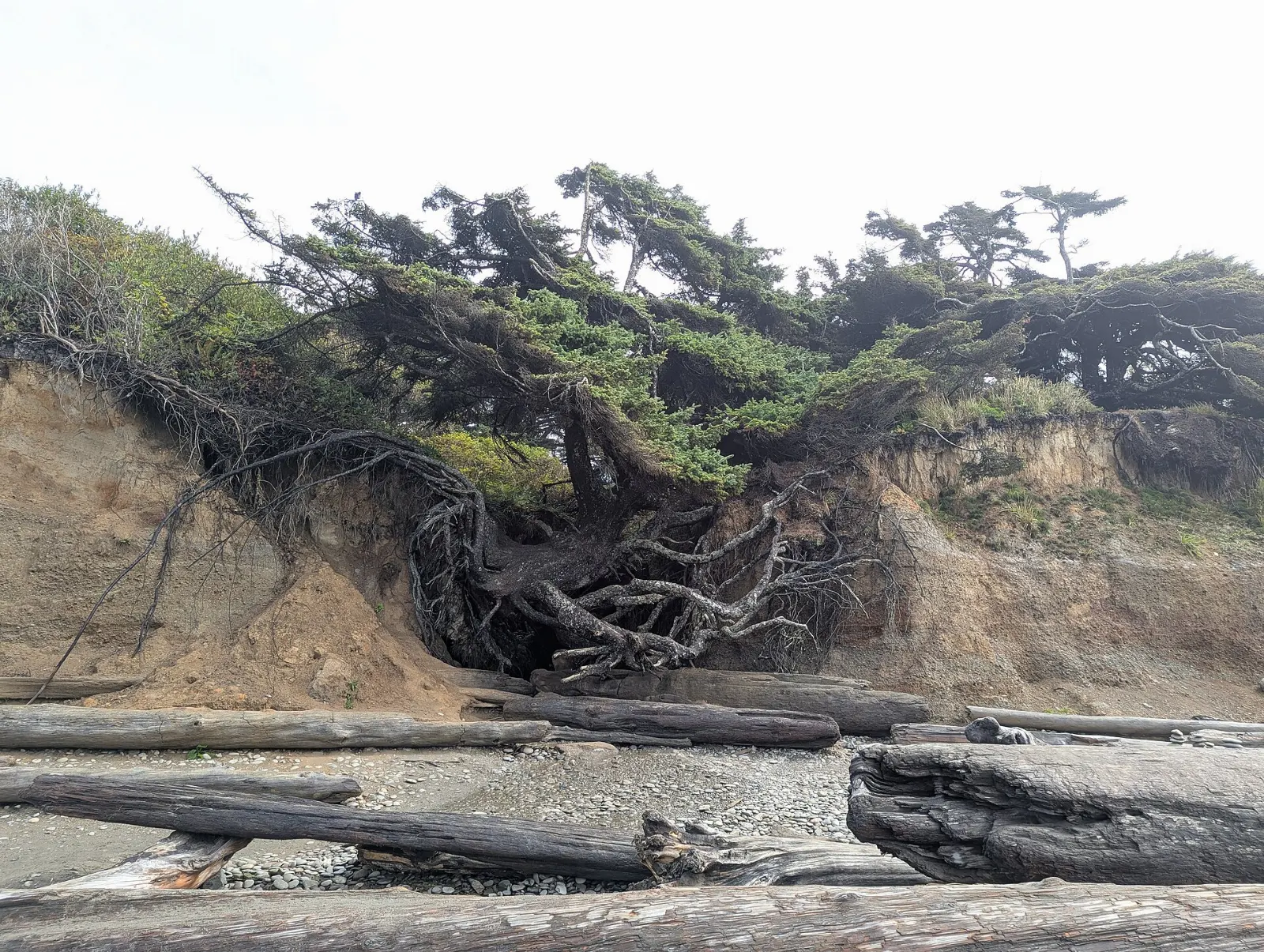
Kalaloch is a stretch of wide beaches and bluffs with a campground, lodge and ranger station.
Second Beach near La Push
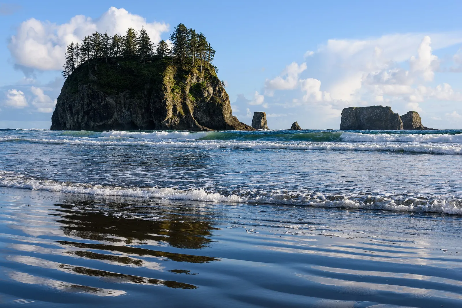
Near the village of La Push, home of the Quileute Tribe, a forest trail of under a mile leads to Second Beach, a broad crescent of sand framed by sea stacks and a natural arch. It is especially lovely at sunset.
 Planning a trip to Olympic National Park?Compare hotels, flights and vacation rentals for Olympic National Park on Expedia.Book now
Food and local flavors
The Olympic Peninsula eats from the sea and the farm.
Sequim sits in the rain shadow of the Olympics and is known for lavender farms, which bloom in July and inspire lavender lemonade, ice cream and baked goods.
Popular dishes to try in Olympic National Park


Where to stay
Because the park is a loop, the best strategy is to split your stay between two bases rather than return to one town each night.
Port Angeles is the largest town on the north side and the most practical first base, with the widest choice of lodging and restaurants and quick access to Hurricane Ridge, Lake Crescent and the Elwha.
Lake Crescent and Sol Duc have historic lodges and cabins inside the park, ideal if you want to wake up by the water; they book months ahead.
Where to stay in Olympic National Park


Best time to visit
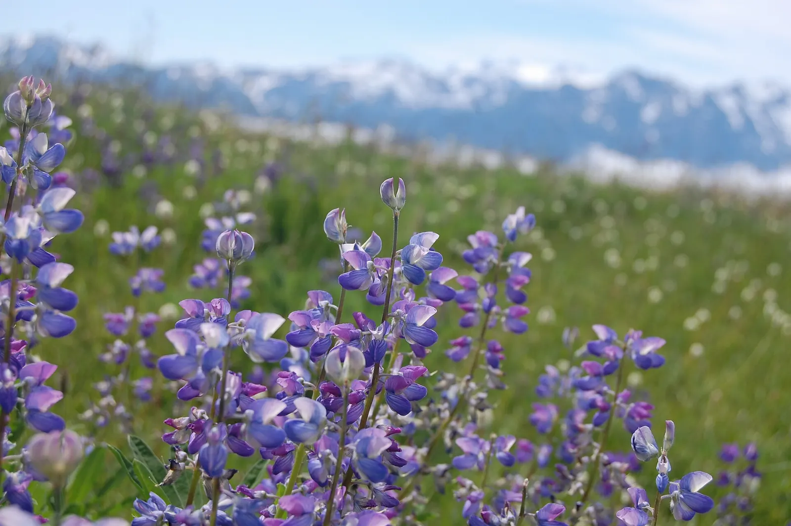
Summer (July to mid-September) is the best time for most visitors. The weather is at its driest, Hurricane Ridge and high trails are usually snow free by mid-July, and wildflowers peak in the meadows.
Spring and early autumn bring fewer people, green and dripping rain forests, and waterfalls at full strength. In autumn, salmon run up the Sol Duc and other rivers and the bigleaf maples turn gold.
Getting there and getting around
The nearest major airport is Seattle-Tacoma International. From Seattle, most travelers drive onto a Washington State Ferries boat from downtown Seattle to Bainbridge Island or from Edmonds to Kingston, then continue across the Hood Canal Bridge and along US 101 to Port Angeles.
A car is essential. US 101 wraps around three sides of the park, and the full loop is more than 300 miles, with long stretches between towns and fuel stops.
A suggested itinerary
First day
Drive from Seattle by ferry to Port Angeles and stop at the Olympic National Park Visitor Center for maps and conditions.
Second day
Drive west to Lake Crescent and walk to Marymere Falls, then paddle on the lake or ride a section of the Spruce Railroad Trail.
Third day
Arrive early at the Hoh Rain Forest to walk the Hall of Mosses and Spruce Nature Trail before the crowds.
Fourth day
Continue south to Lake Quinault for a walk among giant trees and a drive around the lake, then return to Seattle via Olympia, or loop back north if you are heading to the ferry.
Practical tips
- Check the park's current road conditions page each morning, since construction, washouts and weather can close roads with little notice.
- Book lodging in the park and in Forks or Kalaloch well ahead for summer weekends.
- Carry a tide table and only walk around headlands at low tide; rising water and rolling logs are serious hazards on the coast.
- Dress in layers and bring rain gear in every season, since conditions can swing from sun to drizzle within an hour.
- Stay at least 100 yards from bears and at least 25 yards from elk, deer and marmots, and never feed wildlife.
- Pets are not allowed on most park trails; check the regulations if you are traveling with a dog.
Find local businesses in Port Angeles on WiserMap
Port Angeles is the main gateway to Olympic National Park, with outfitters, cafes, seafood spots, grocery stores and places to stay that make it easy to stock up before a day on the ridge or the coast.