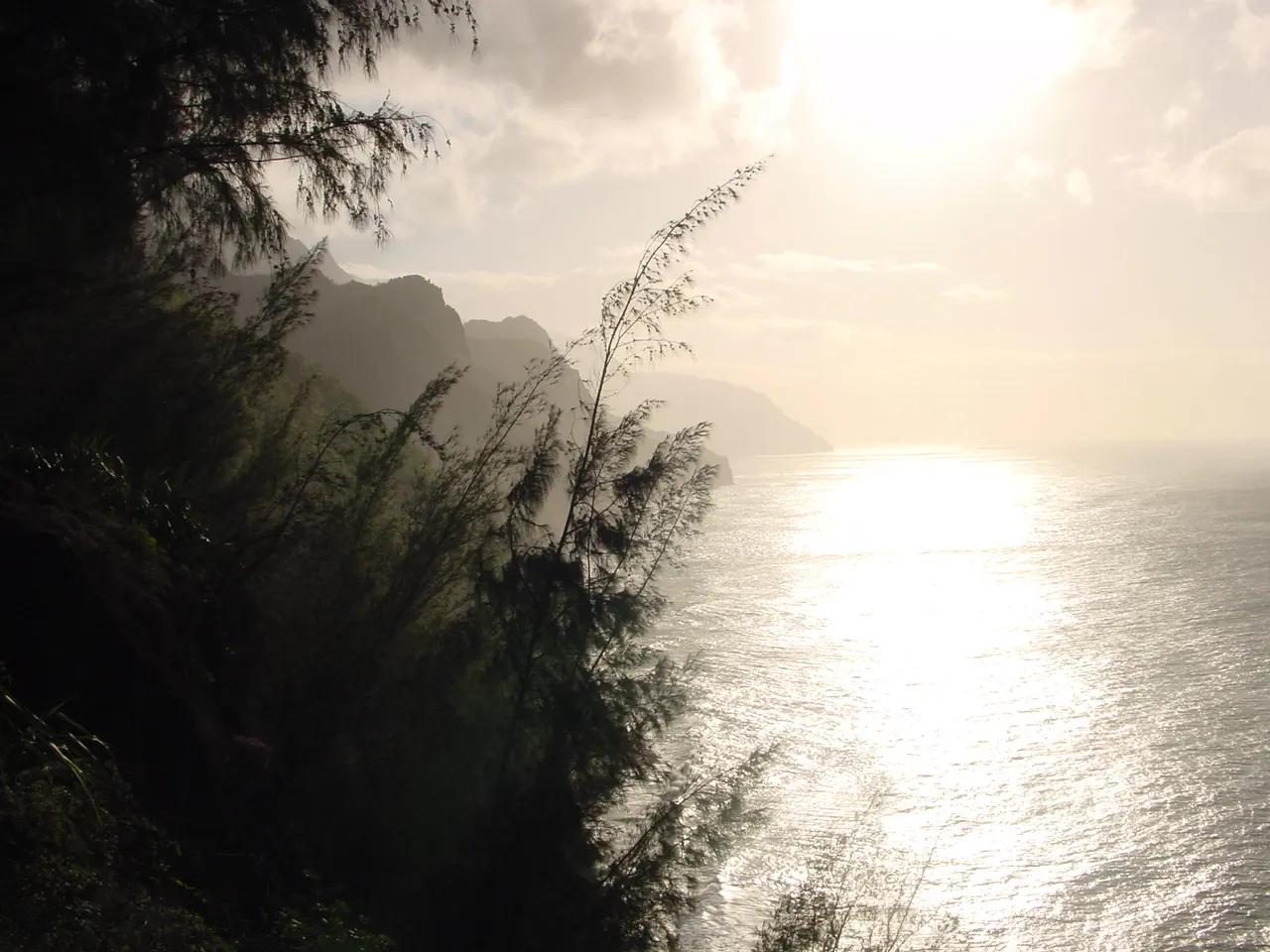
Kauai is the oldest of Hawaii's main inhabited islands, and time has carved it into the most dramatic shapes in the chain. Rainfall on its central peak has cut a canyon of red rock and fluted cliffs that drop straight into the sea along the Na Pali Coast.
AT A GLANCE
Best time
April to June and September to October for drier days, calmer north shore water and fewer crowds.
How long
Five to seven days, ideally split between a north or east shore base and a south shore base.
Getting there
Fly into Lihue Airport, then rent a car to reach both ends of the island's main highway.
Why visit Kauai
Kauai's appeal is its landscape. Mount Waialeale, near the center of the island, is among the wettest places on earth, and its runoff feeds rivers, valleys and the deep gorge of Waimea Canyon.
The island also moves at a gentler pace than Oahu or Maui. Towns are small, traffic lights are few and the main roads pass through former plantation villages, fruit stands and roadside churches. Visitor numbers at the most fragile places are managed through reservations, which keeps the north shore beaches and trails from feeling overrun.
The north shore and Na Pali
Hanalei Bay
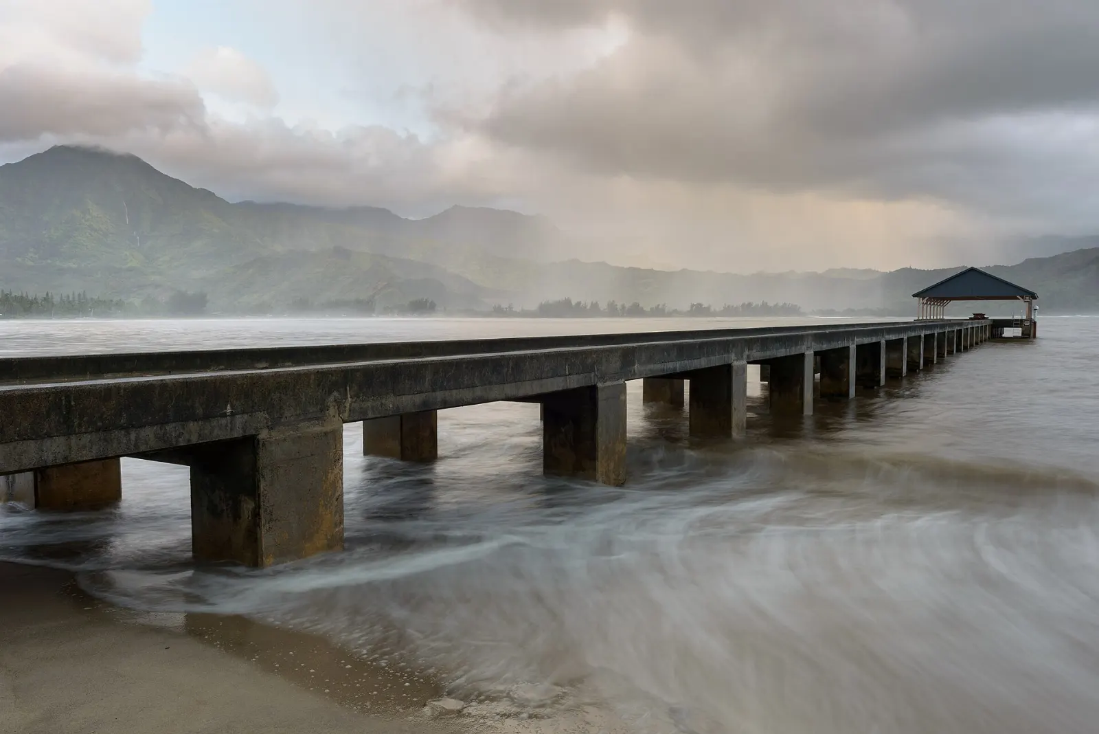
Hanalei Bay is a two mile crescent of sand framed by green mountains, with the historic Hanalei Pier reaching into the water. In summer the bay is usually calm enough for swimming, paddleboarding and lessons for beginner surfers, while winter swells turn it into a serious surf spot.
Hanalei Valley Lookout
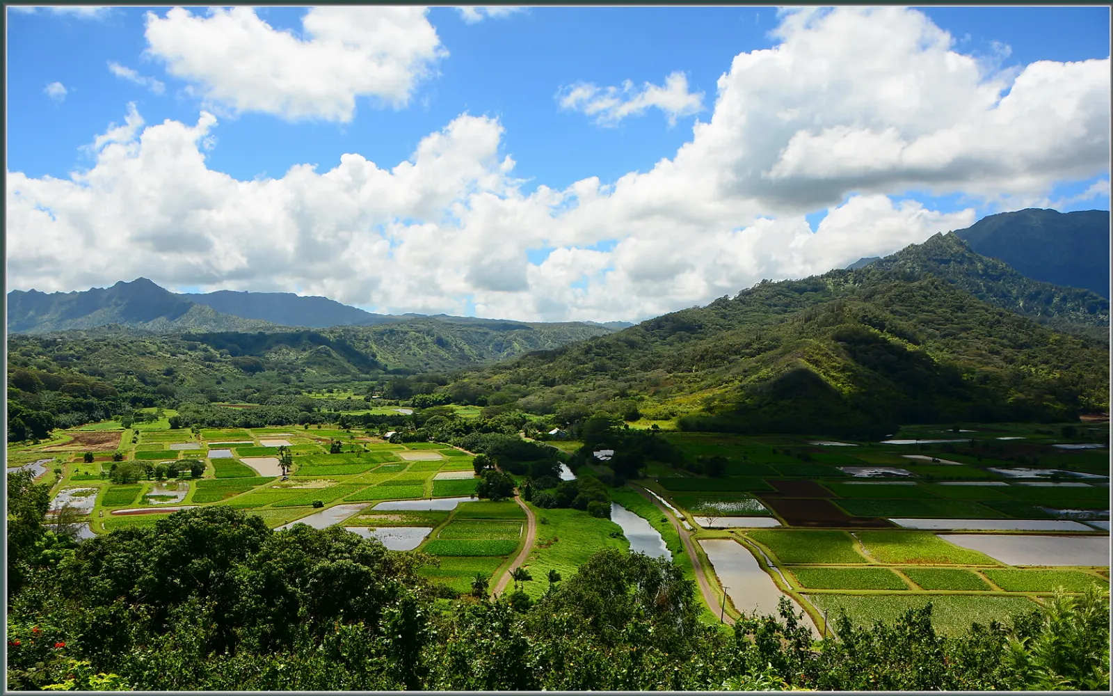
Just past Princeville, a roadside lookout gazes down on the Hanalei River and the patchwork of flooded taro fields that produce much of Hawaii's taro. The fields lie within the Hanalei National Wildlife Refuge, which protects endangered Hawaiian waterbirds such as the koloa duck and the Hawaiian stilt.
Haena State Park and Kee Beach
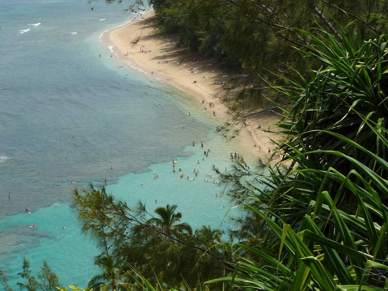
The north shore road ends at Haena State Park, home to Kee Beach, a reef protected lagoon with good summer snorkeling, along with sea caves and the trailhead of the Kalalau Trail.
Kalalau Trail and the Na Pali Coast
The Kalalau Trail runs eleven miles along the Na Pali Coast and is the only land access to Na Pali Coast State Park. Day hikers with a Haena reservation can walk the first two miles to Hanakapiai Beach, a demanding, often muddy route with spectacular cliff views.
Kilauea Point National Wildlife Refuge
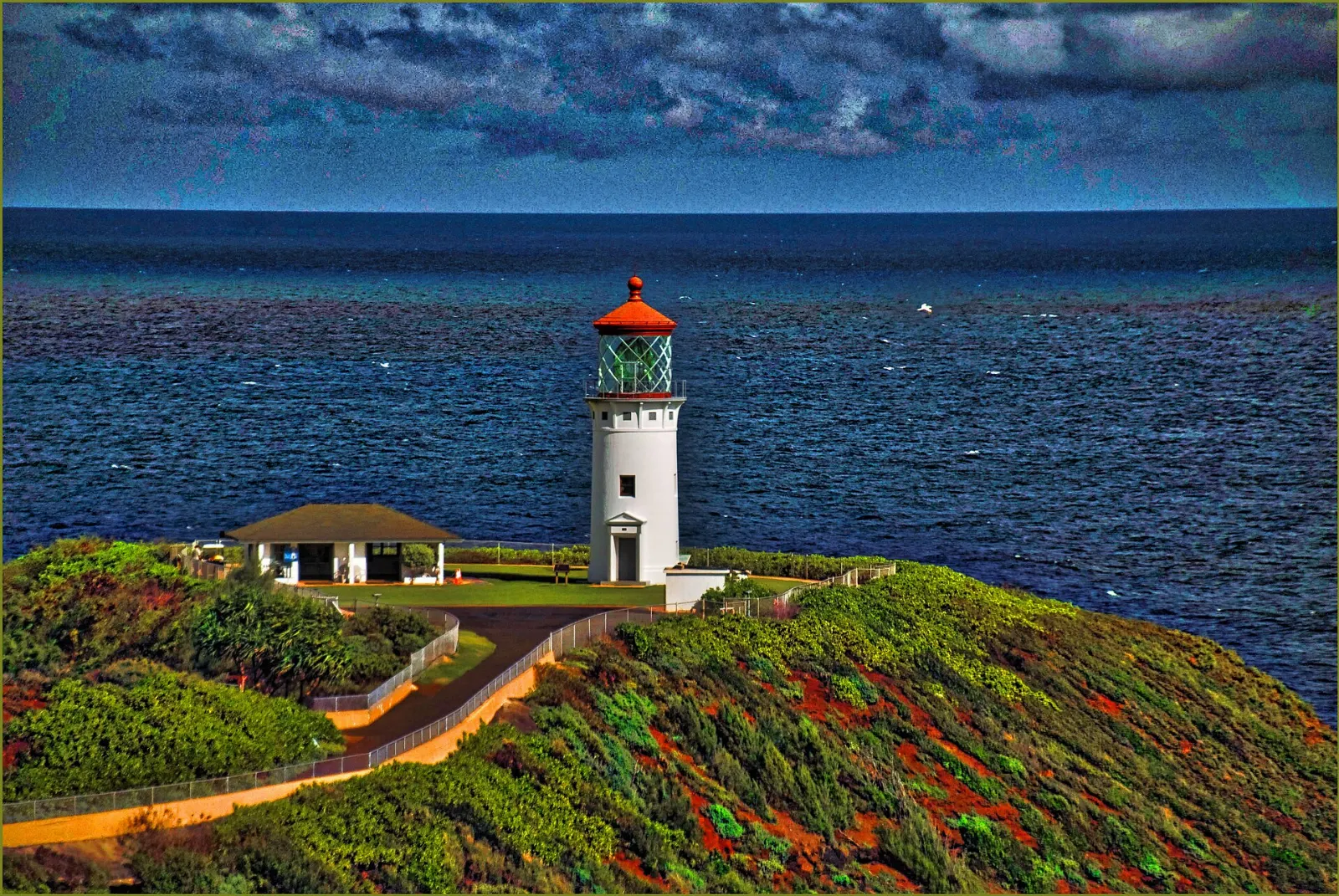
On a narrow lava point east of Princeville, the white Kilauea Lighthouse, built in 1913, stands above cliffs crowded with seabirds. The refuge protects nesting red footed boobies, tropicbirds, shearwaters and Laysan albatrosses, which can be seen from about November to July, along with nene geese.
The west side canyons
Waimea Canyon State Park
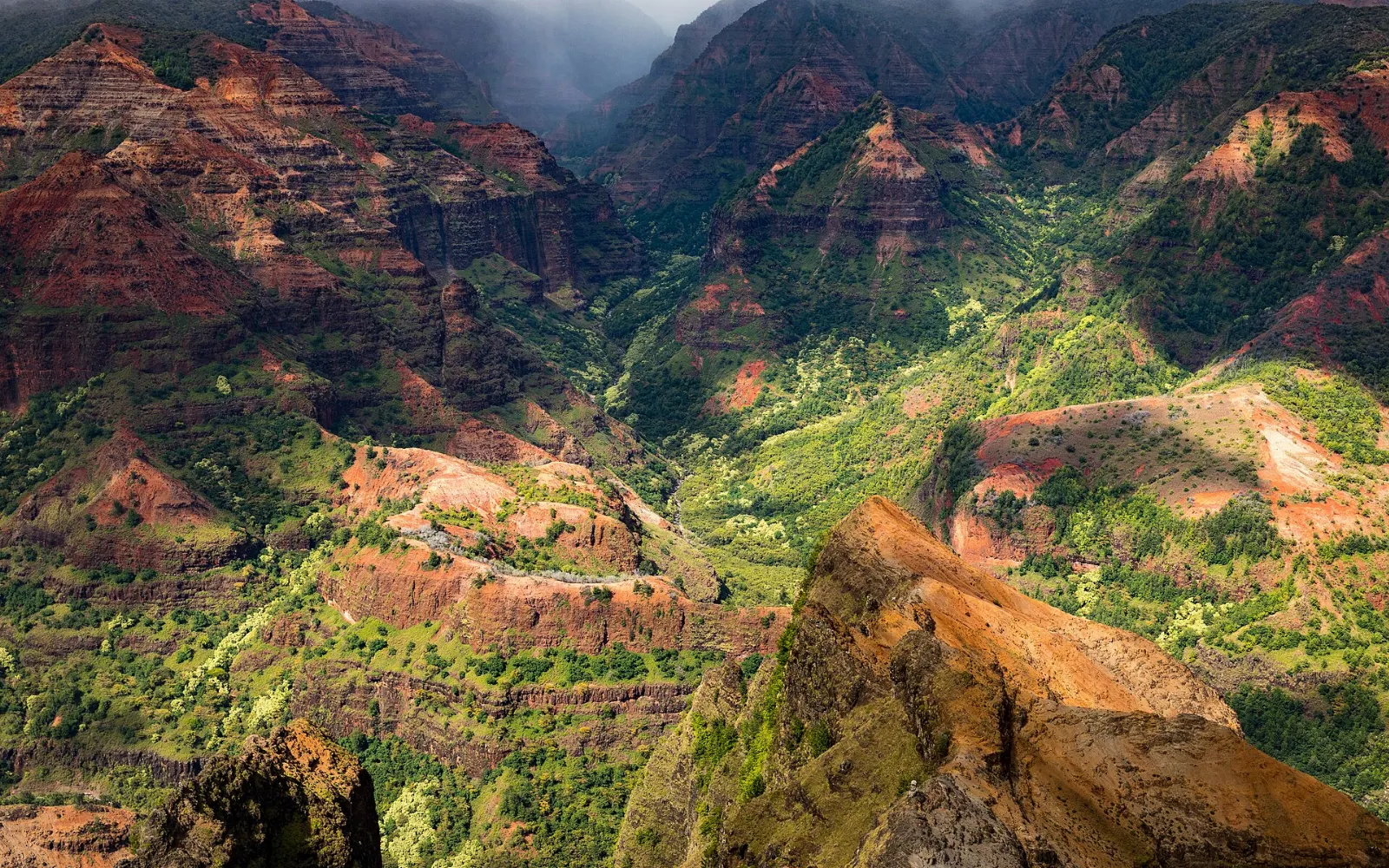
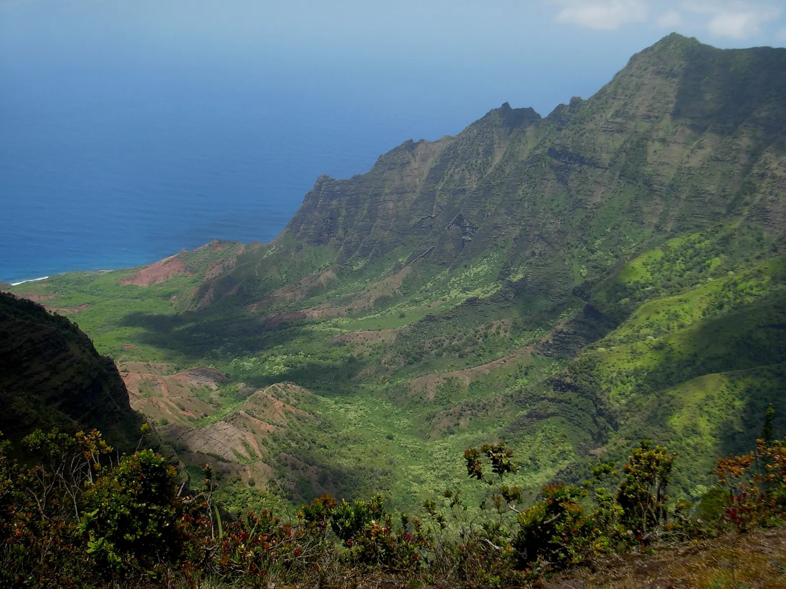
Often called the Grand Canyon of the Pacific, Waimea Canyon is roughly ten miles long and up to about three thousand feet deep, its walls banded in red, rust and green. The canyon was carved by the Waimea River, fed by heavy rain on the island's central peak.
Kokee State Park and Kalalau Lookout
At the top of the canyon road, cooler Kokee State Park offers forest trails, a small natural history museum and two remarkable viewpoints. Kalalau Lookout and the Puu o Kila Lookout at the end of the road peer straight down into the Kalalau Valley, framed by Na Pali's cliffs. Allow two to four hours.
Hanapepe
The old plantation town of Hanapepe, between Lihue and Waimea, has wooden storefronts, art galleries and a wobbly swinging footbridge across the Hanapepe River. A Friday evening art walk brings live music and food vendors. Allow one to two hours.
The east side and the south shore
Wailua River and Opaekaa Falls
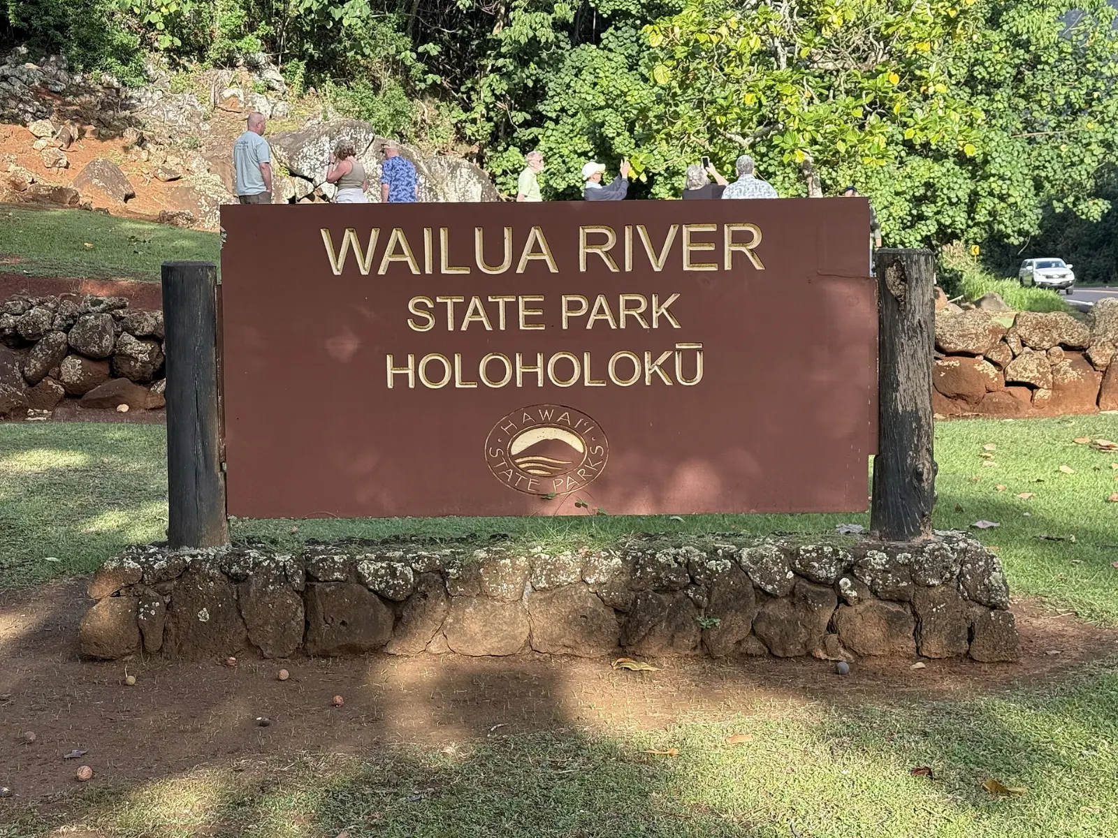
The Wailua River on the east side was a royal center in ancient times, and the area still holds several heiau and sacred sites. Today you can kayak upriver with a guided tour and hike to Uluwehi Falls, often called Secret Falls, or ride a boat to the Fern Grotto.
Poipu Beach Park
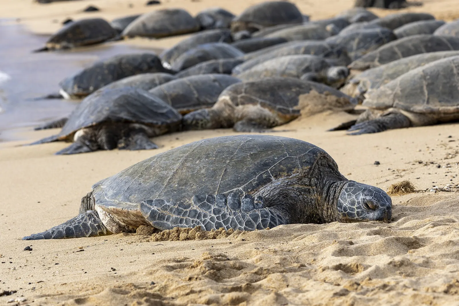
Poipu on the south shore is Kauai's sunniest region. Poipu Beach Park has a sandbar that creates a calm, protected swimming area for families and good snorkeling on calm days. Hawaiian monk seals frequently haul out to rest on the sand, and green sea turtles feed close to shore.
Spouting Horn and Old Koloa Town
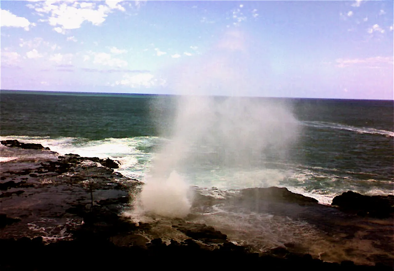
West of Poipu, Spouting Horn is a lava tube on the shoreline where waves force seawater high into the air with a deep moaning sound. Local vendors often sell crafts at the parking area.
 Planning a trip to Kauai?Compare hotels, flights and vacation rentals for Kauai on Expedia.Book now
Food and local flavors
Kauai's kitchen draws on Native Hawaiian traditions and the cultures of plantation workers from Japan, China, the Philippines, Portugal and Korea.
The island is also known for coffee, grown on large plantations near Kalaheo on the south side, and for tropical fruit such as lilikoi, rambutan, apple bananas and papaya, sold at roadside stands and weekly farmers markets in towns including Lihue, Kapaa and Hanalei.
Popular dishes to try in Kauai


Where to stay
Poipu on the south shore has the sunniest weather and a range of condos and resorts near calm beaches, making it ideal for families and anyone who wants reliable beach days. It is also convenient for Waimea Canyon and Na Pali boat tours from Port Allen.
Princeville and Hanalei on the north shore offer the island's most dramatic scenery and easy access to Haena State Park, but they are wetter, especially in winter. They suit hikers and couples.
Where to stay in Kauai


Best time to visit
Kauai is warm year round, but rain and ocean conditions vary by season and region.
Humpback whales visit from roughly December to April, and Laysan albatrosses nest at Kilauea Point in winter and spring. The busiest times are the winter holidays and the summer months.
Getting there and getting around
Lihue Airport on the east side is the island's gateway, with interisland flights from Honolulu and nonstop flights from several West Coast cities.
Kauai has two main highways from Lihue: one heads north through Kapaa and Princeville toward Hanalei and Haena, and the other heads west past the turnoff for Koloa and Poipu, then on through Hanapepe and Waimea.
A suggested itinerary
First day
Arrive in Lihue, drive to Wailua to see Opaekaa Falls and Wailua Falls, and walk or cycle the coastal path in Kapaa before dinner.
Second day
Head north to Kilauea Point in the morning, stop at the Hanalei Valley Lookout and spend the afternoon on the beach at Hanalei Bay.
Third day
Use your Haena State Park reservation to hike to Hanakapiai Beach early, then snorkel at Kee Beach if conditions are calm.
Fourth day
Drive to the west side for Waimea Canyon and Kokee State Park, aiming to reach Kalalau Lookout before the clouds build.
Fifth day
Take a morning Na Pali Coast boat tour from Port Allen, then relax at Poipu Beach Park and visit Spouting Horn at sunset.
Practical tips
- Book Haena State Park reservations as soon as they open for your dates, since they are required for out of state visitors and sell out.
- Check ocean conditions with lifeguards and heed warning signs; when in doubt, stay out of the water.
- Give monk seals, turtles and nesting seabirds plenty of room, and follow posted barriers.
- Use mineral reef safe sunscreen and never stand on or touch coral.
- Pack rain gear, sturdy shoes for muddy trails and a warm layer for Kokee.
- Do not leave valuables in parked cars at trailheads, beaches or lookouts.
Find local businesses in Lihue on WiserMap
Lihue is Kauai's main town and the first stop for most visitors.