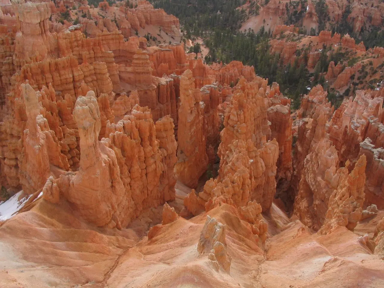
Bryce Canyon is not really a canyon. It is a series of natural amphitheaters carved into the eastern edge of the Paunsaugunt Plateau in southern Utah, and they are packed with hoodoos, the slender spires of orange, pink and cream limestone that freeze and thaw into ever-changing shapes.
AT A GLANCE
Best time
May to June and September to October for mild weather; winter for snow-dusted hoodoos and quiet trails.
How long
One full day covers the highlights; two days lets you add longer hikes, sunrise and stargazing.
Getting there
Drive via Scenic Byway 12; the nearest airport is Cedar City, with larger hubs in Las Vegas and Salt Lake City.
Why visit Bryce Canyon
Bryce holds the largest concentration of hoodoos on Earth. Water seeps into cracks in the rock, freezes overnight and expands, a cycle that repeats on a huge number of nights each year at this altitude. Over time it splits the plateau edge into fins, windows and finally free-standing pillars.
The park also sits high. The rim ranges from about 8,000 feet to more than 9,100 feet at Rainbow Point, so summers are cool compared with Zion or Arches, and winters bring real snow.
The Bryce Amphitheater rim
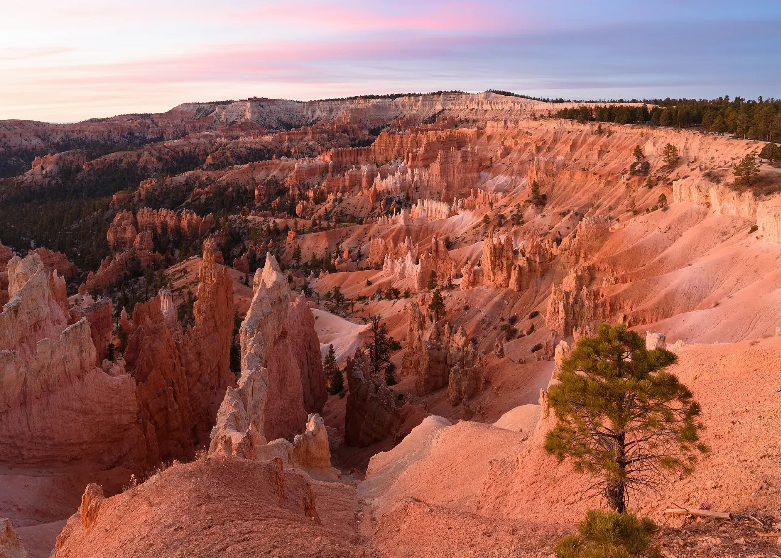
Most visitors spend their time around the Bryce Amphitheater, the largest and most famous bowl in the park. Four main viewpoints line its rim, linked by the paved and mostly level Rim Trail, which makes it easy to walk between them.
Sunrise Point
Sunrise Point looks south across the amphitheater toward the hoodoos of Queens Garden and is, as the name suggests, the favorite spot to watch first light. Arrive at least half an hour before sunrise to see the colors build.
Sunset Point and the Navajo Loop
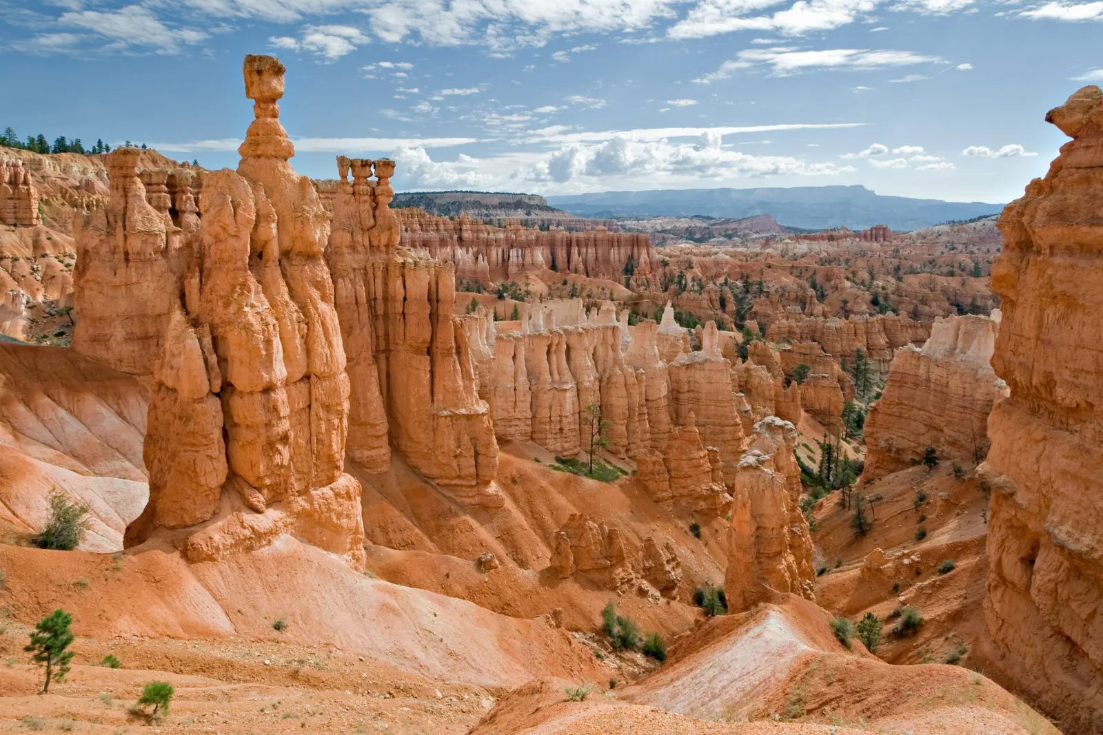
Sunset Point gives a close view of Thor's Hammer, a balanced capstone perched on a slim column, and is the trailhead for the Navajo Loop.
Queens Garden Trail
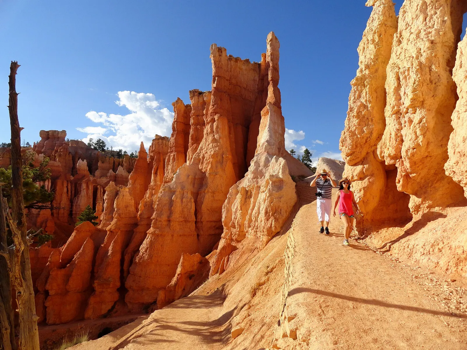
The Queens Garden Trail starts at Sunrise Point and is often called the gentlest way to walk among the hoodoos. A short spur leads to a formation said to resemble Queen Victoria seated on her throne.
Inspiration Point
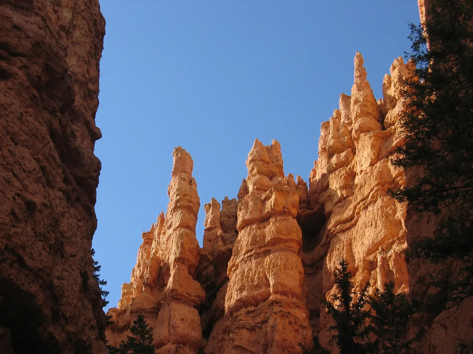
From Inspiration Point you look down into the heart of the amphitheater at row upon row of hoodoos sometimes called the Silent City. There are three levels, and the upper viewpoint, a short but steep walk up from the parking area, gives the widest panorama.
Bryce Point
Bryce Point sits on a promontory at the southern end of the amphitheater and offers a sweeping view north along the full length of the bowl. It is a superb sunrise alternative with fewer people than Sunrise Point.
Fairyland, the scenic drive and beyond the park entrance
Fairyland Point and Fairyland Loop
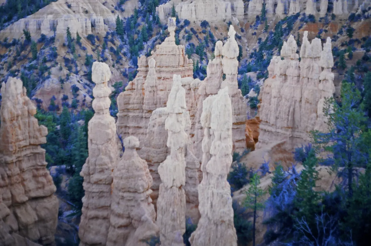
Fairyland Point lies just inside the park boundary, north of the visitor center, along a short spur road. The views over Fairyland Canyon and the Sinking Ship mesa are excellent and far quieter than the main amphitheater.
Natural Bridge
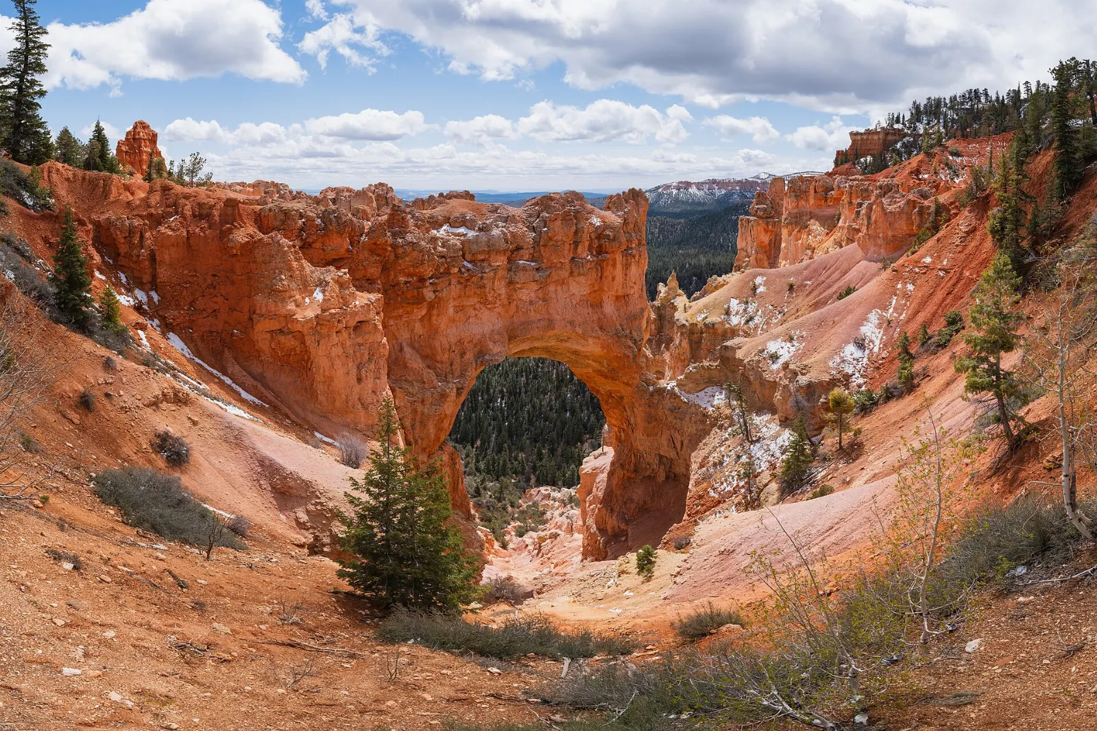
The scenic drive continues south past the amphitheater for about 18 miles in total, climbing through forest to the highest part of the park. Along the way, Natural Bridge is a pullout where a large red arch frames the forest below.
Rainbow Point and Yovimpa Point
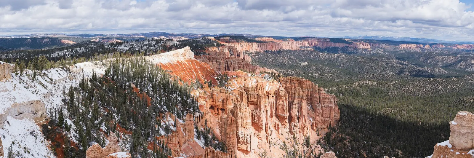
The drive ends at Rainbow Point, above 9,100 feet, where views stretch south across the layered cliffs of the Grand Staircase toward Arizona on clear days. Nearby Yovimpa Point shares the same parking area.
Mossy Cave Trail
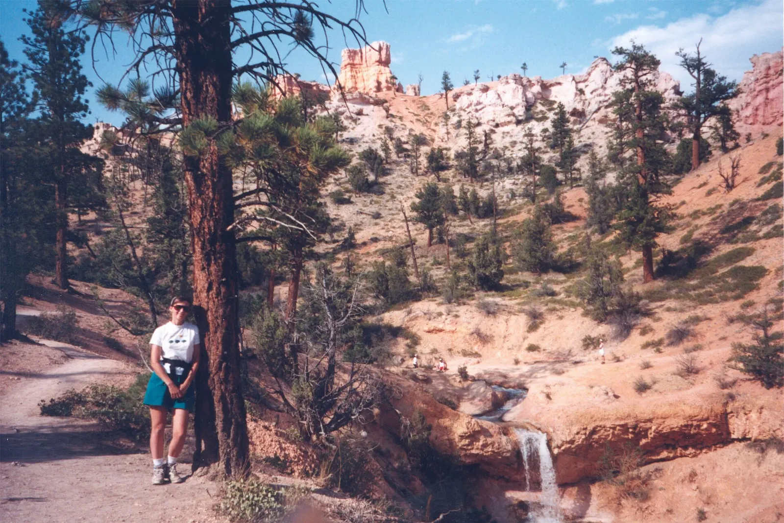
Outside the main entrance, on Highway 12 between Bryce Canyon City and Tropic, the Mossy Cave Trail is a short and easy walk along a stream to a shallow alcove and a small waterfall. The water was diverted here by Mormon settlers in the 1890s to irrigate farms in the valley below.
Red Canyon
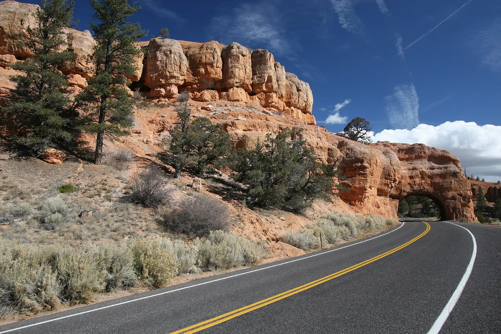
Driving in from the west on Scenic Byway 12, you pass through Red Canyon in Dixie National Forest, where vivid red hoodoos and two rock tunnels frame the road. Short trails start at the visitor center, and a paved path for cyclists and walkers follows the road.
 Planning a trip to Bryce Canyon National Park?Compare hotels, flights and vacation rentals for Bryce Canyon National Park on Expedia.Book now
Food and local flavors
Dining around Bryce is rural and simple. Inside the park, food is limited to the lodge dining room, a seasonal general store near Sunrise Point and grab-and-go options, so most visitors eat in Bryce Canyon City just north of the entrance or in the small towns of Tropic and Panguitch.
Look for a few regional favorites. Utah fry sauce, a pink blend of ketchup and mayonnaise, comes with fries almost everywhere.
Popular dishes to try in Bryce Canyon National Park


Where to stay
Inside the park, a historic lodge near the rim and two campgrounds, North and Sunset, put you minutes from sunrise viewpoints. Rooms and campsites book out months ahead for summer, so reserve as early as possible.
Bryce Canyon City, right outside the entrance, is the most convenient base. It has the shuttle station, gas, groceries and a cluster of motels and RV parks, and suits first-time visitors and anyone relying on the shuttle.
Where to stay in Bryce Canyon National Park


Best time to visit
Late spring and early autumn are the sweet spots. From mid-May through June, days are mild and wildflowers dot the meadows, though June is busy. September and October bring crisp air, golden aspens on the plateau and thinner crowds after Labor Day.
Winter, from November through March, transforms Bryce. Snow on red hoodoos makes for striking photographs, and you can snowshoe or cross-country ski along the rim.
Getting there and getting around
Bryce Canyon sits off Scenic Byway 12, a designated All-American Road, a short drive east of US Highway 89. The nearest commercial airport is Cedar City, roughly 80 miles away. Larger airports in Las Vegas and Salt Lake City are each around four hours' drive.
Bryce does not currently use a timed entry reservation system. You pay the entrance fee or show a valid pass at the gate; check the official website for current fees.
A suggested itinerary
First day
Watch sunrise at Sunrise Point or Bryce Point, then hike Queens Garden down and the Navajo Loop up while the air is cool.
Second day
Start early with the Fairyland Loop or the Peekaboo Loop, depending on your energy. In the afternoon, drive east to Mossy Cave and continue to Kodachrome Basin State Park, or head west to Red Canyon for short walks and photos.
Practical tips
- Take the altitude seriously: drink extra water, pace yourself on climbs and turn back if you feel dizzy or short of breath.
- Check current trail status, including closures on the Wall Street section of the Navajo Loop, at the visitor center or on the official park website.
- Wear shoes with good grip; the fine gravel on hoodoo trails is slippery, and snow or ice can linger into spring.
- Bring layers. Temperatures swing widely between dawn and afternoon, even in summer.
- Fill up on fuel in Bryce Canyon City, Tropic or Panguitch; services are sparse along Highway 12.
- Stay on trails and never climb on hoodoos; the rock is fragile and erodes easily.
Find local businesses in Bryce Canyon City on WiserMap
Looking for a place to eat, a gear shop, a guide or a gas station near the park entrance?