Moab is a small town on the Colorado River in southeastern Utah, surrounded by some of the most dramatic sandstone scenery on Earth.
AT A GLANCE
Best time
March to May and September to October for mild hiking weather.
How long
Three to four days for Arches, Island in the Sky and a river or scenic drive day.
Getting there
Drive from Grand Junction or Salt Lake City; a small regional airport lies north of town.
Why visit Moab
Few places pack so much variety into such a short radius. Arches National Park holds more than two thousand documented natural stone arches, from delicate ribbons of rock to massive spans you can stand beneath.
Moab is also one of the country's great outdoor adventure towns. You can hike, raft, paddle, bike slickrock, ride four-wheel-drive trails, climb sandstone towers or simply watch the light change on red cliffs at sunset.
Arches National Park
The park entrance is just a few miles north of Moab on U.S. 191. For 2026, the park dropped its timed-entry reservation system, so you can enter during operating hours with a valid park pass, but parking at the most popular trailheads still fills quickly.
Park Avenue and Balanced Rock
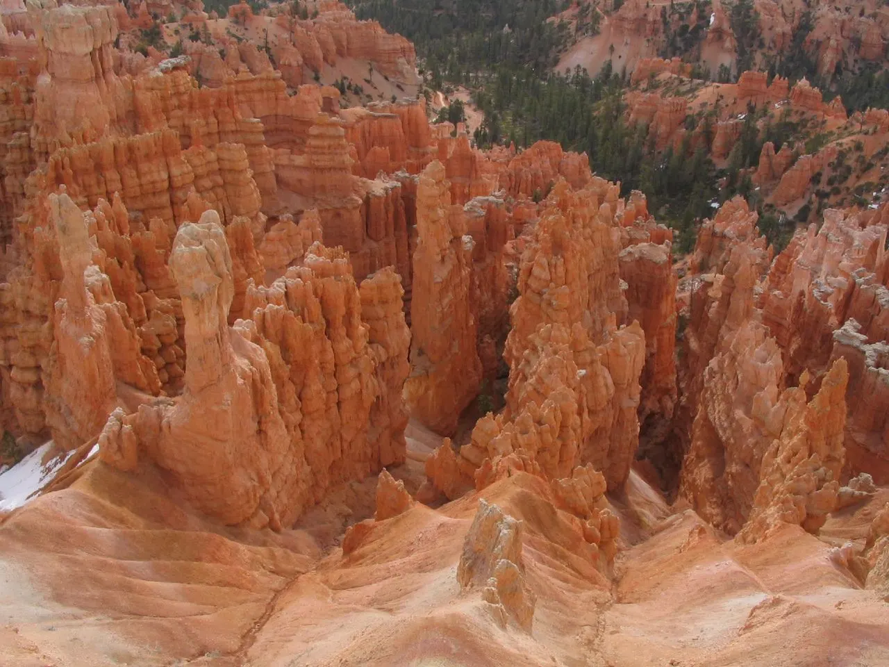
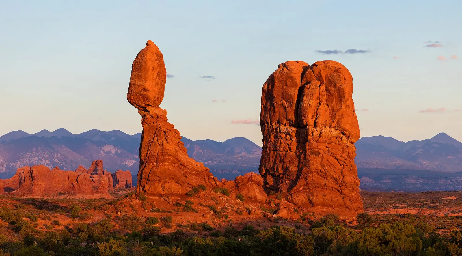
Shortly after climbing the switchbacks from the visitor center, you reach Park Avenue, a canyon lined with towering sandstone walls that recalls a city skyline. A trail descends through it for about a mile.
The Windows Section and Double Arch
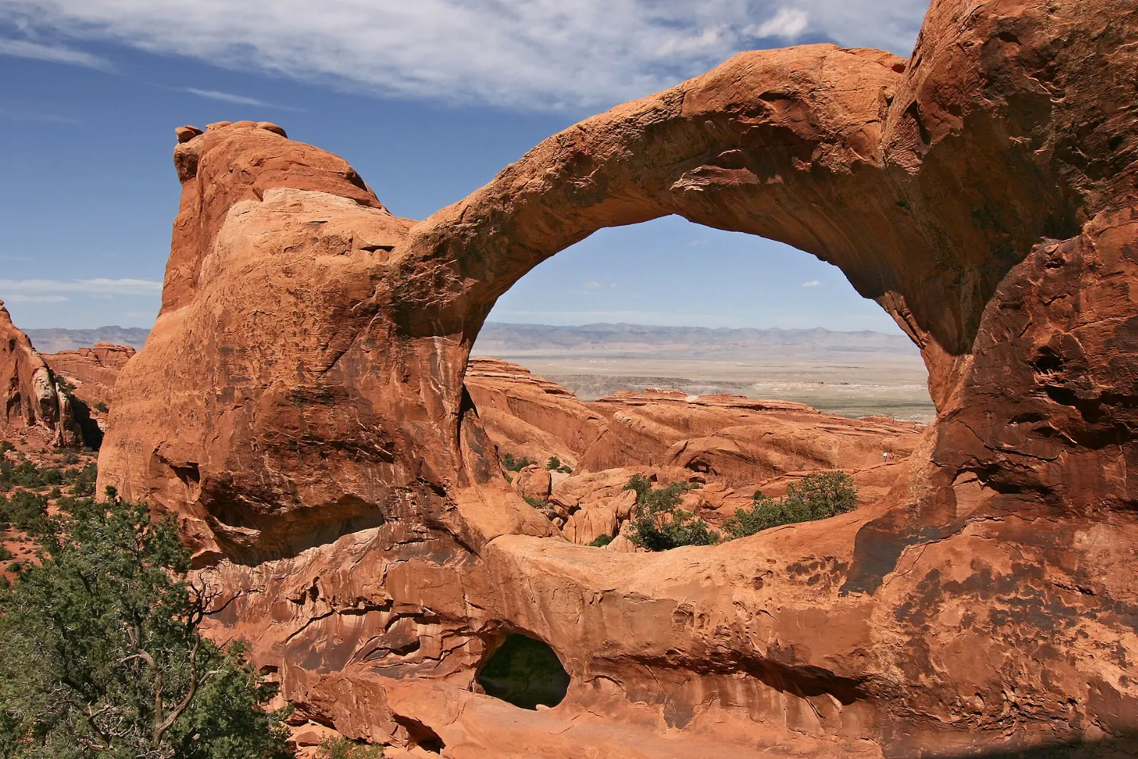
The Windows Section packs several big arches into short, easy walks. North Window, South Window and Turret Arch sit on a loop of about a mile, and Double Arch, with two spans joined at one end, is a short walk from the same parking area.
Delicate Arch
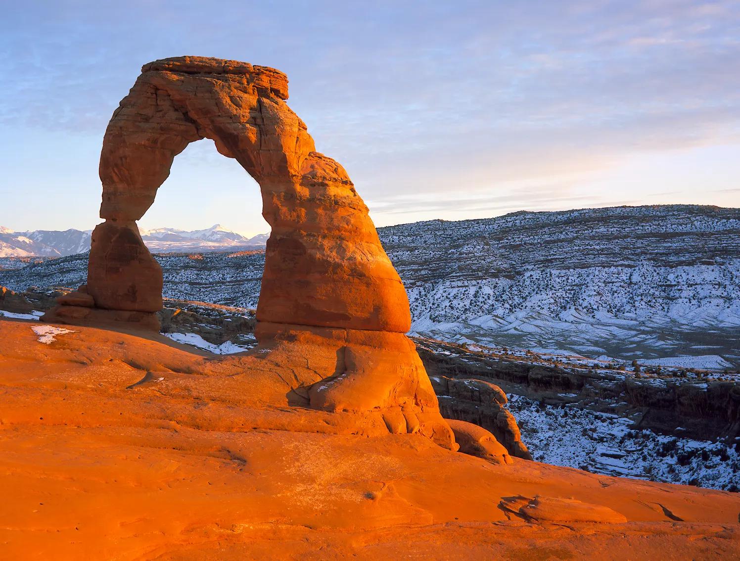
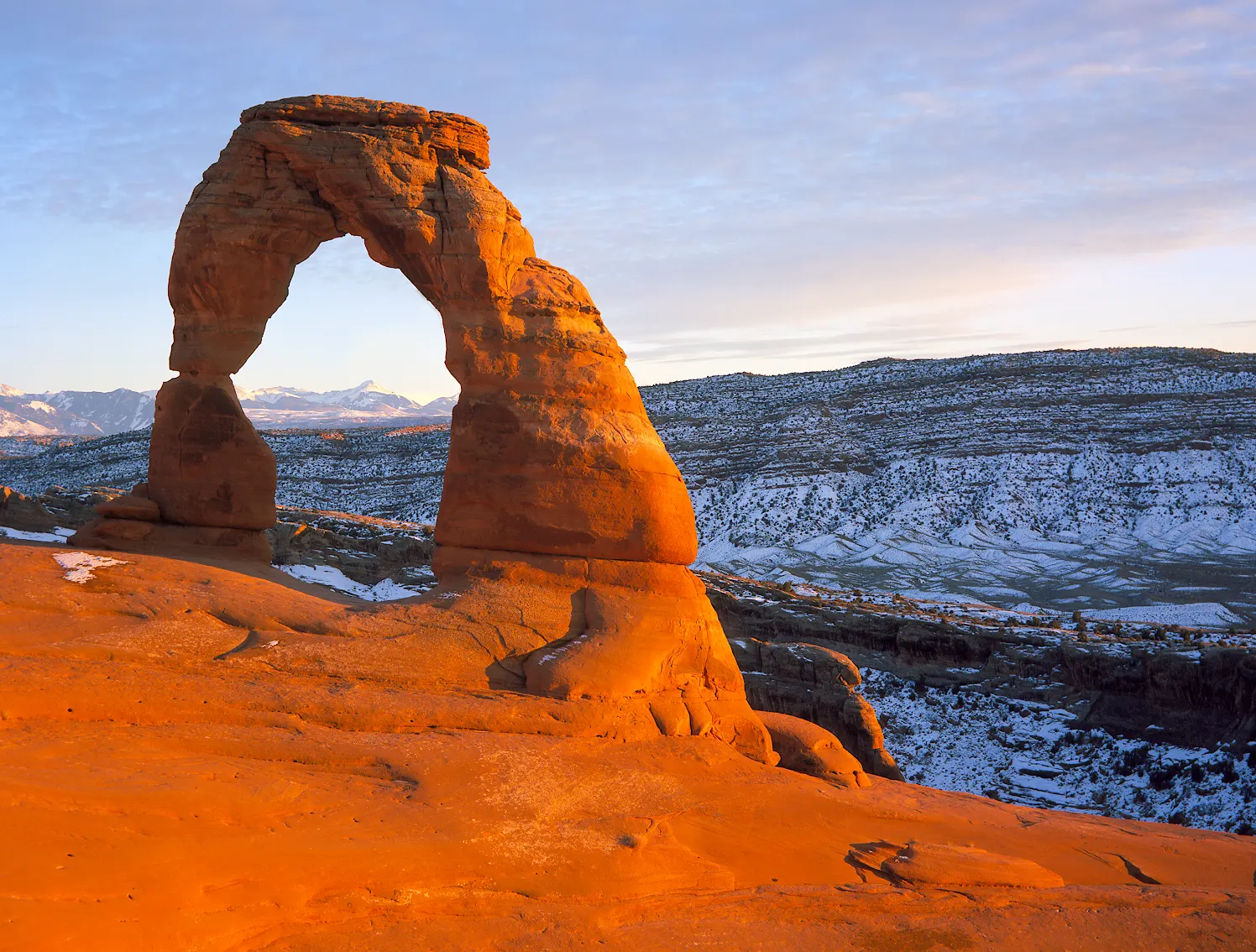
Delicate Arch, the free-standing arch on Utah's license plates, sits on the rim of a slickrock bowl with the La Sal Mountains behind it.
Devils Garden and Landscape Arch
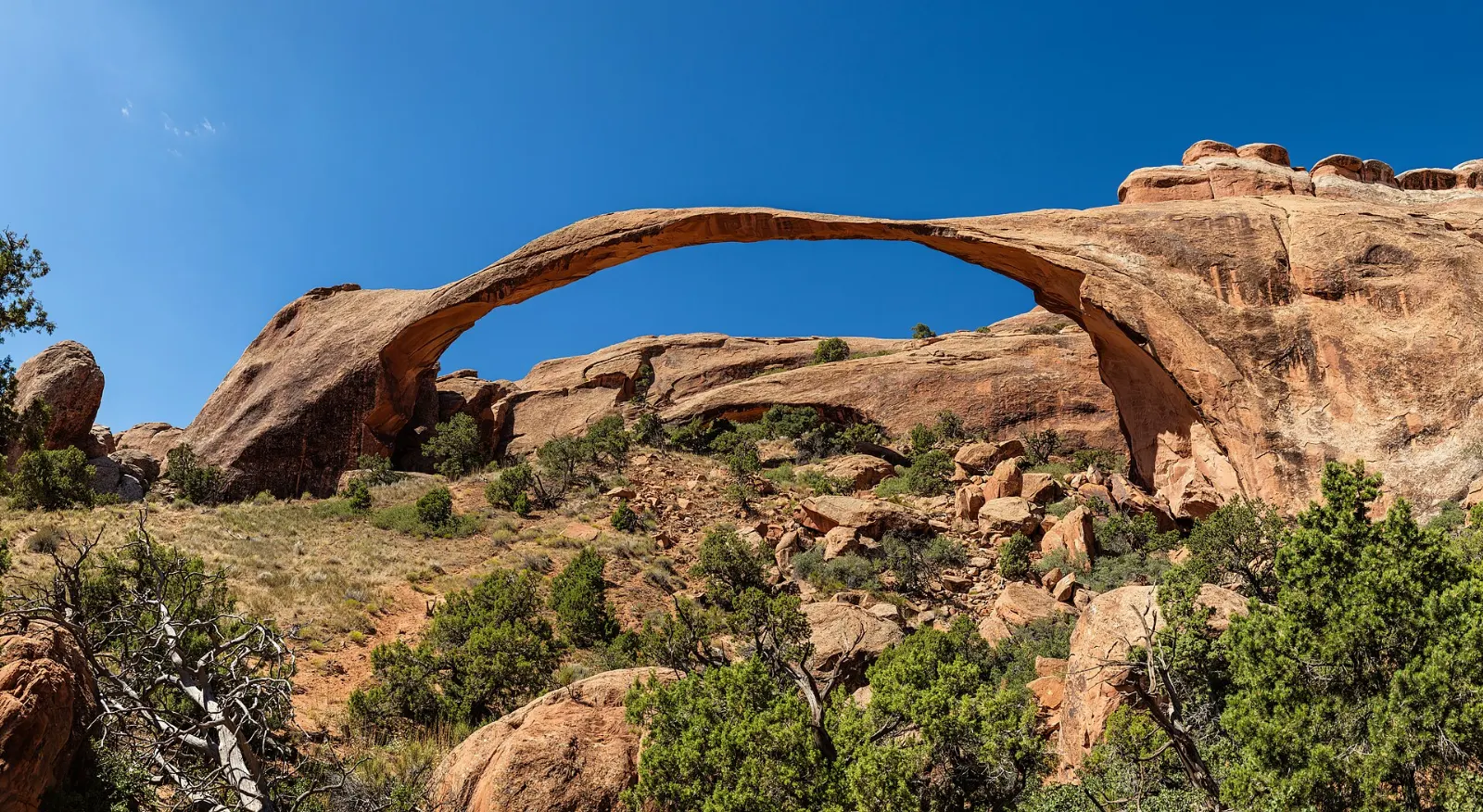
At the end of the park road, the Devils Garden Trail leads to Landscape Arch, a thin ribbon of rock spanning roughly the length of a football field, one of the longest natural arches in the world. The trail continues to Partition Arch, Navajo Arch and Double O Arch, with sections of fin scrambling.
Fiery Furnace
The Fiery Furnace is a maze of narrow sandstone fins and slots with no marked trail. Entry requires either a self-guided permit or a spot on a ranger-led hike, both arranged in advance.
Canyonlands and Dead Horse Point
Island in the Sky
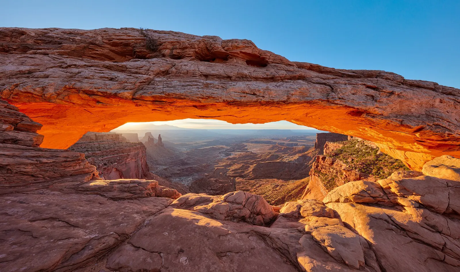
Island in the Sky is the most accessible district of Canyonlands, about forty minutes from Moab. A paved road runs across a high mesa to overlooks above vast canyon systems. Mesa Arch, reached by an easy half-mile loop, sits right on the rim and is famous at sunrise, when the underside of the arch glows.
Shafer Trail
From the edge of Island in the Sky, the Shafer Trail drops off the mesa in a series of dramatic switchbacks. Even if you do not drive it, the view from the overlook near the visitor center is memorable.
Dead Horse Point State Park
On the way to Island in the Sky, Dead Horse Point State Park overlooks a sweeping gooseneck of the Colorado River roughly two thousand feet below. Rim trails connect several viewpoints, and the park is known for excellent stargazing. Allow two to three hours.
River country and public lands
Corona Arch
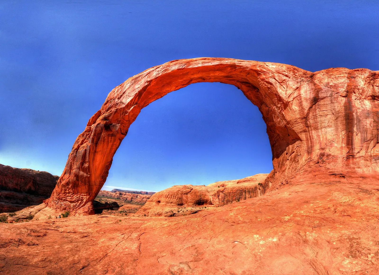
West of town along Potash Road, State Route 279, the Corona Arch trail climbs across slickrock to a huge arch standing alone on a sandstone fin, with Bowtie Arch nearby.
Fisher Towers
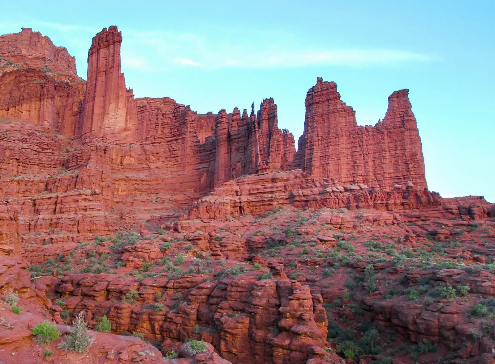
Northeast of Moab off State Route 128, the Fisher Towers are tall spires of deep red sandstone, the tallest of which is called the Titan. A trail winds along their base for a few miles, ending at a viewpoint across the desert.
Scenic Byway 128 and the Colorado River
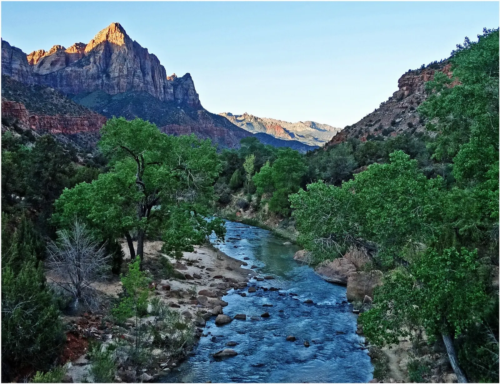
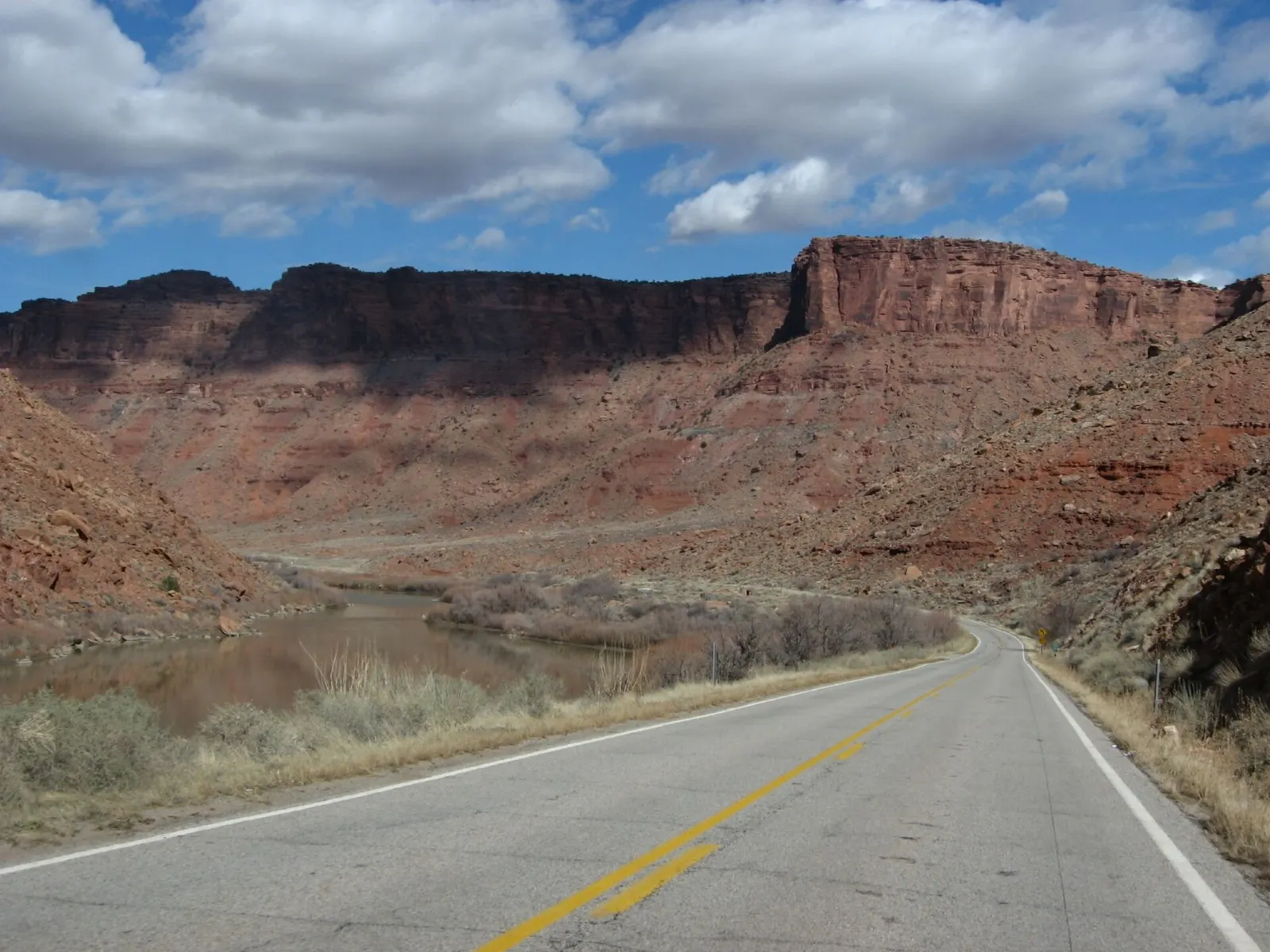
State Route 128 follows the Colorado River upstream from Moab through a canyon of towering red cliffs, past campgrounds, river beaches and turnoffs to trailheads.
Slickrock Trail and Sand Flats
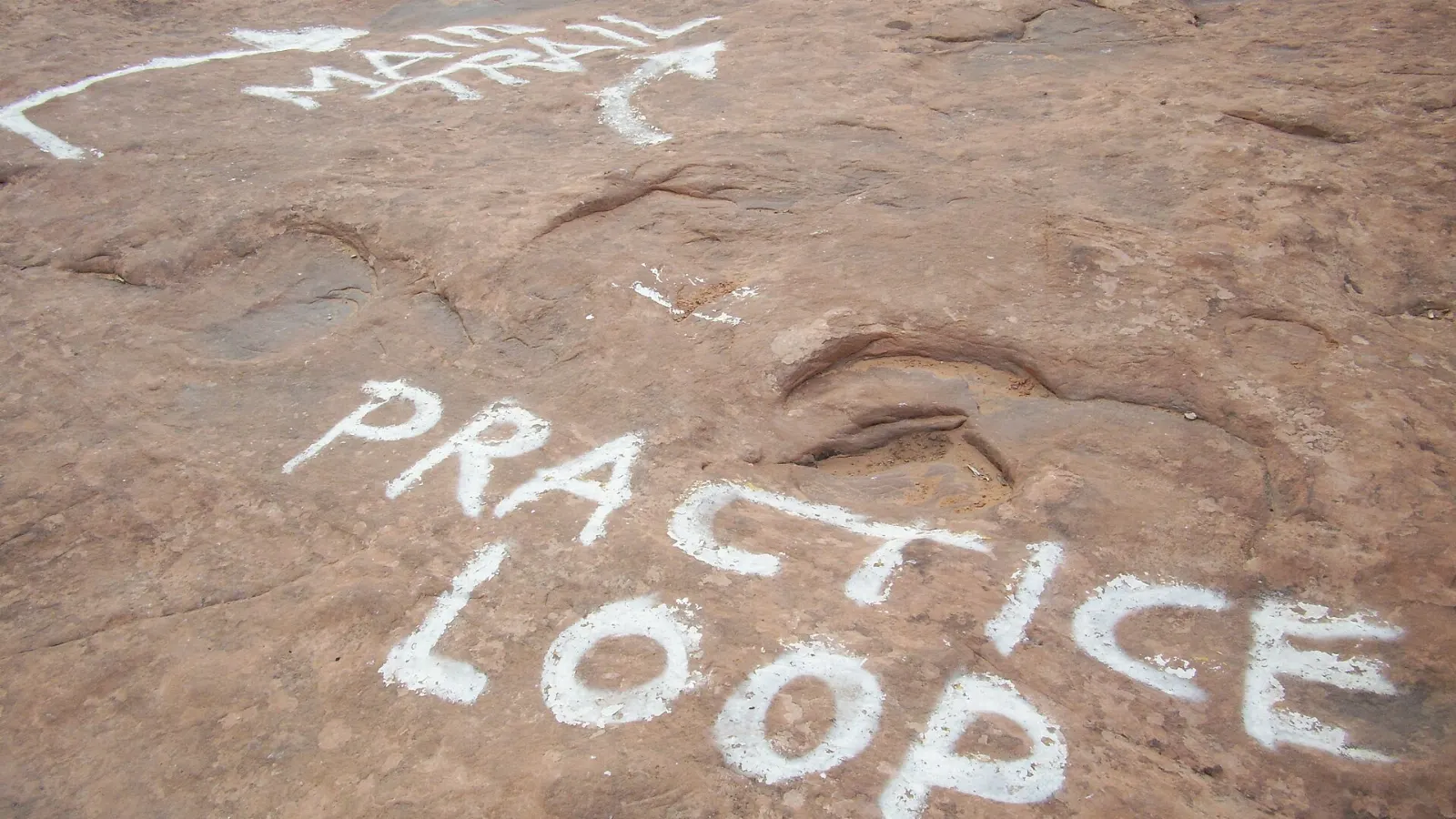
East of town, the Sand Flats Recreation Area holds the famous Slickrock Bike Trail, a route across bare, undulating sandstone. It is a challenging ride, but a shorter practice loop lets newer riders sample the terrain.
Food and local flavors
Moab's food scene suits hungry hikers. Expect big breakfasts with breakfast burritos and green chile, coffee shops that open early for sunrise trips, and Southwestern and Mexican dishes across town.
Main Street is the heart of dining, and most restaurants are within walking distance of each other.
Popular dishes to try in Moab


Where to stay
Downtown Moab, along and around Main Street, is the most convenient base. You can walk to restaurants and shops, and Arches is only a short drive north.
South Moab and the areas along U.S. 191 have more vacation rentals and larger properties, suiting families and groups.
Where to stay in Moab


Best time to visit
Spring, from March to May, is peak season, with comfortable hiking temperatures and the busy Easter Jeep Safari week drawing thousands of off-road vehicles.
Summer is very hot, with afternoon temperatures that can exceed one hundred degrees Fahrenheit.
Getting there and getting around
Most visitors fly into Grand Junction, Colorado, about one and three-quarter hours away, or Salt Lake City, about four hours away. Canyonlands Regional Airport, north of town, has limited commercial service.
A car is essential. Arches is just north of town on U.S. 191, and Island in the Sky and Dead Horse Point are reached by State Route 313.
A suggested itinerary
First day
Enter Arches early and drive to Devils Garden for Landscape Arch while it is cool.
Second day
Catch sunrise at Mesa Arch in Island in the Sky, then drive to Grand View Point and other overlooks.
Third day
Hike to Corona Arch in the morning. In the afternoon, drive Scenic Byway 128, take a half-day float trip on the Colorado River and end with the Fisher Towers in late afternoon light.
Practical tips
- Carry at least a gallon of water per person per day in warm weather, plus salty snacks.
- Start hikes at sunrise in summer and avoid exposed trails in the afternoon heat.
- Arrive early at Arches trailheads, since parking lots fill even without timed entry.
- Book Fiery Furnace permits and park campsites well ahead of your trip.
- Stay on trails and durable rock to protect fragile biological soil crust.
- Never climb on arches, and leave rock art untouched.
- Avoid slot canyons and washes when storms threaten, as flash floods can arrive with little warning.
Find local businesses in Moab on WiserMap
Looking for a rafting outfitter, a bike rental, a jeep tour or a hearty breakfast before the trail?