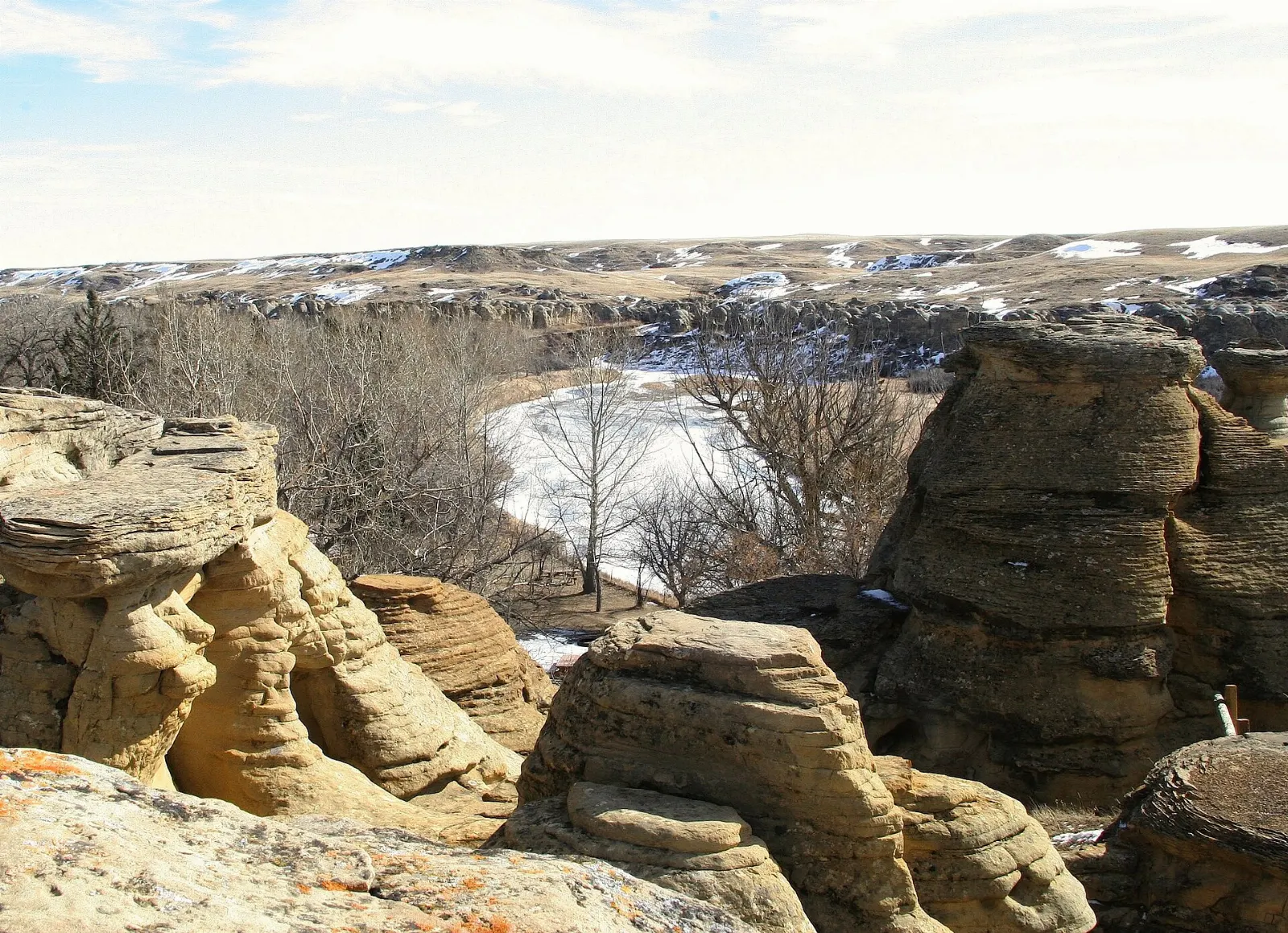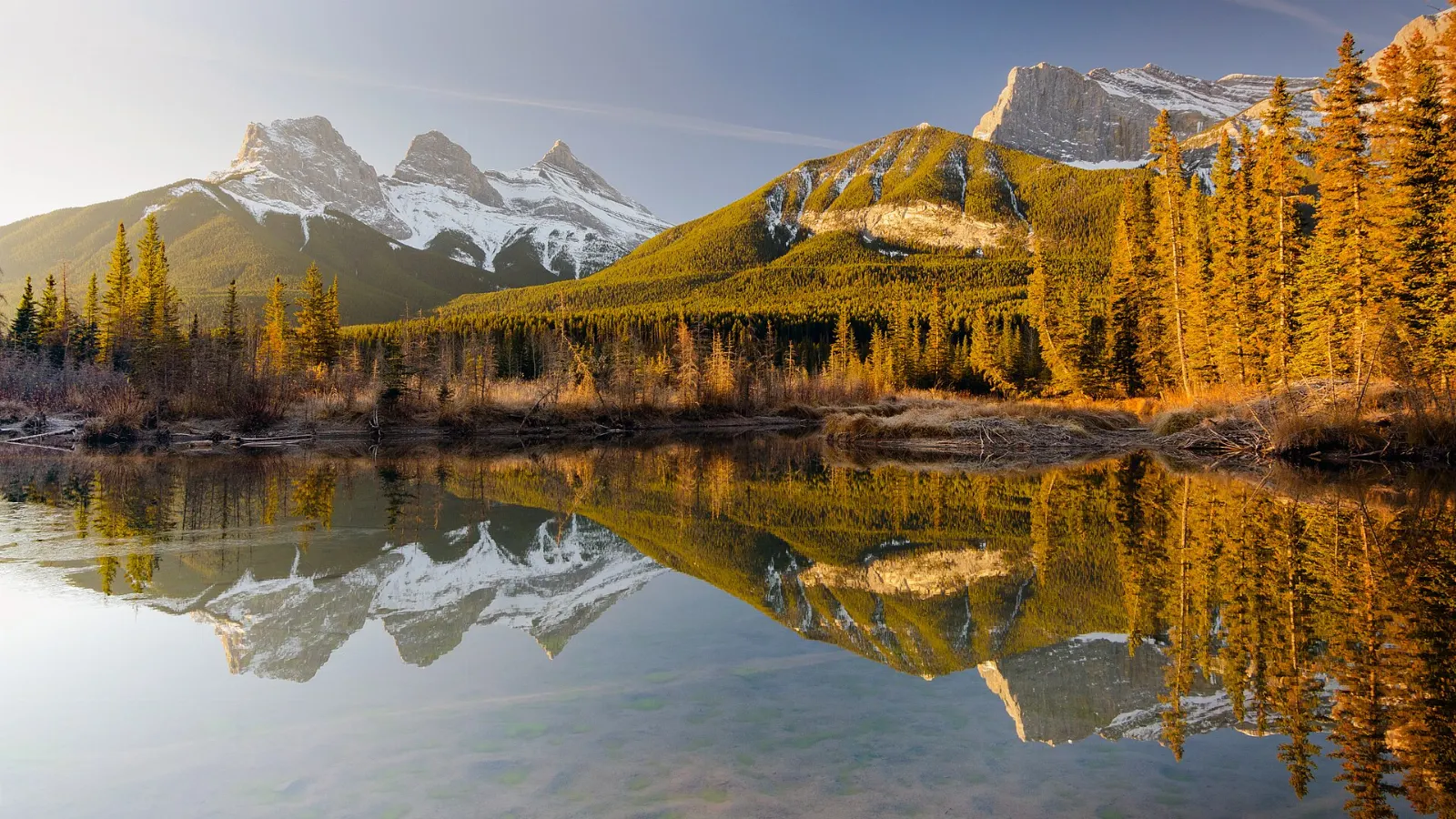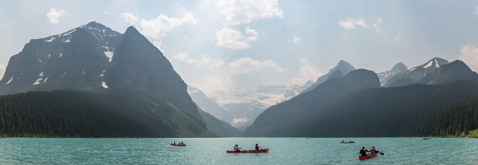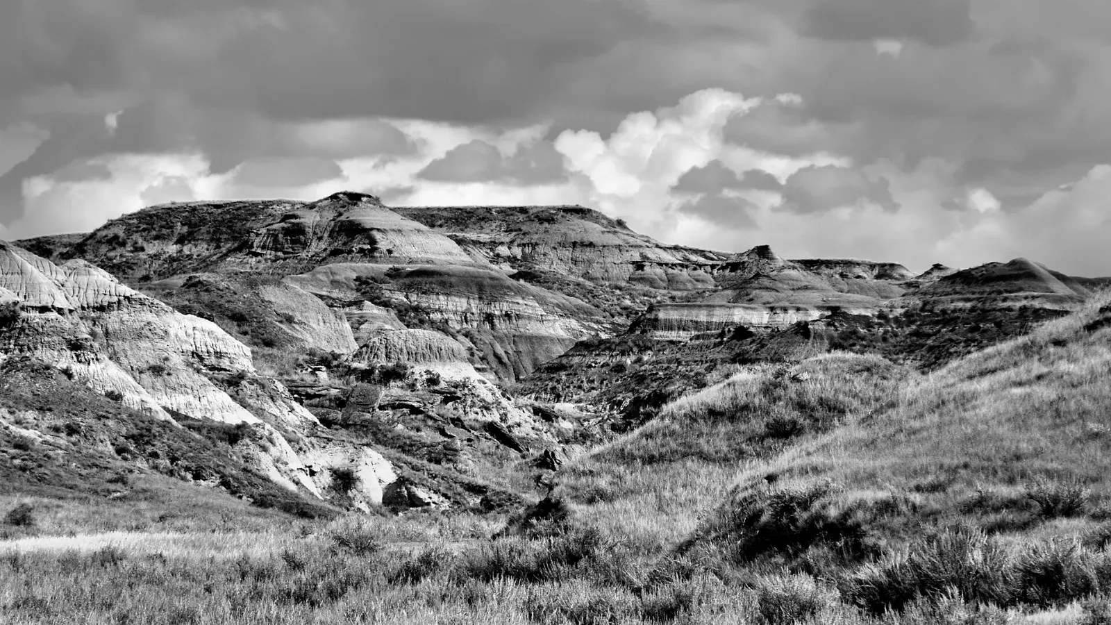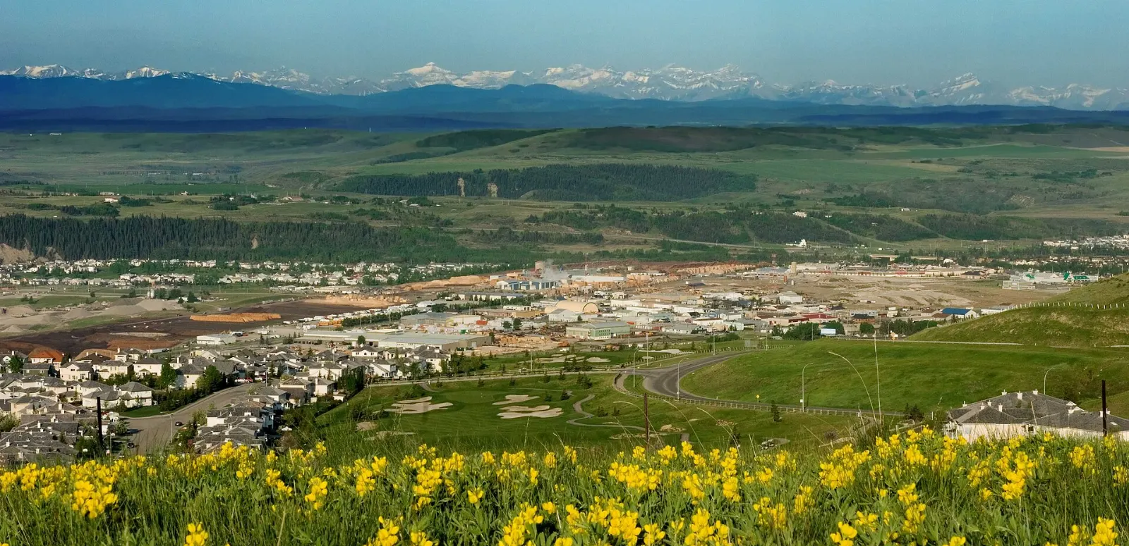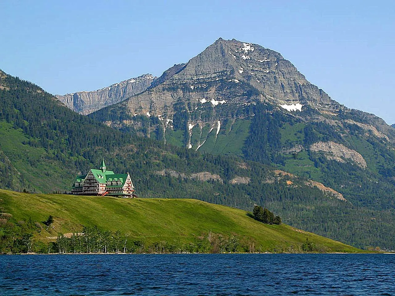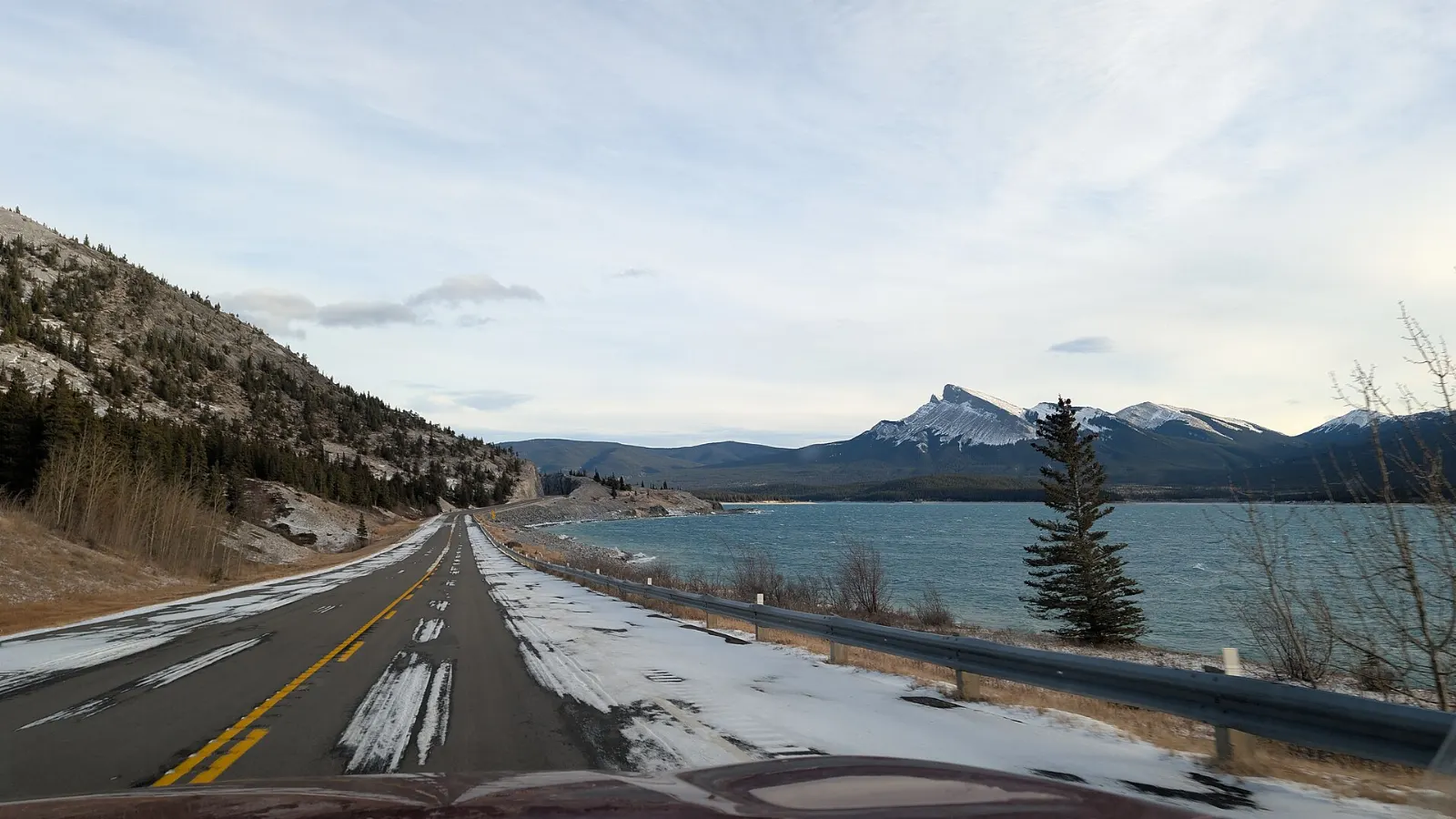
Abraham Lake is a long, turquoise reservoir tucked against the front ranges of the Canadian Rockies, and it looks more like a glacial lake than a man-made one. Beyond the water you will find roadside waterfalls, wide open plains with a deep human history, and a former coal town that has become a small base for outdoor trips.
AT A GLANCE
Best time
Mid-January to mid-February for ice bubbles, or summer for open water and hiking.
How long
Allow two to three days to see the lake, the falls and Nordegg without rushing.
Getting there
Drive west on the David Thompson Highway (Highway 11); there is no regular public transport.
Why visit Abraham Lake
Abraham Lake was created in 1972 when the Bighorn Dam flooded the Kootenay Plains, and it is now Alberta's largest reservoir at about 32 kilometres long.
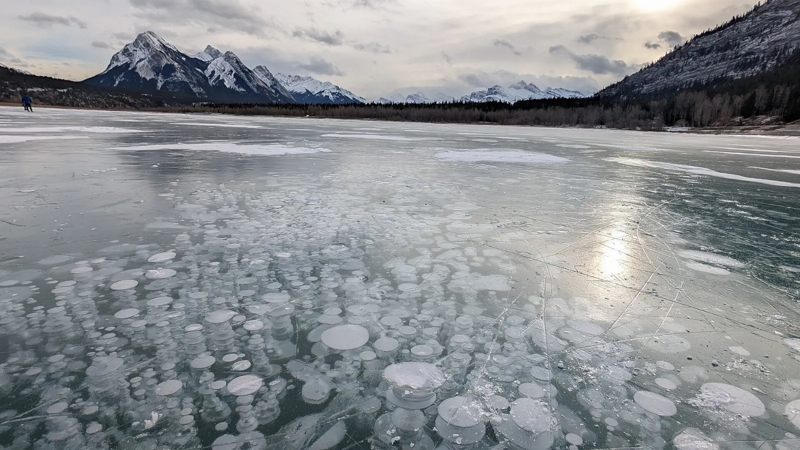
The lake is best known for winter, when trapped methane freezes into white columns just under clear ice. Even in summer the lake works as a gateway to waterfalls, grassy plains and the historic mining town of Nordegg, all within an easy drive.
The lake, the dam and the plains
Abraham Lake shoreline
The lake lies about 35 kilometres west of Nordegg along Highway 11, and the road hugs the shore for much of its length. Stop at the signed pullouts, walk the gravel edges and allow at least two hours.
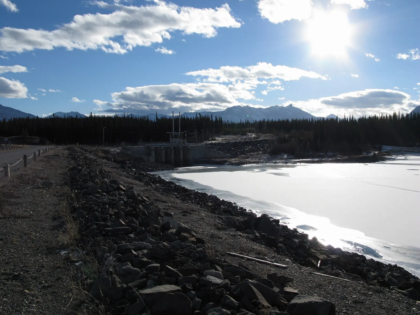
Bighorn Dam at Windy Point
The embankment dam sits in a mountain gap at Windy Point at the eastern end of the lake. It feeds a hydroelectric plant run by TransAlta and explains why the valley looks the way it does.
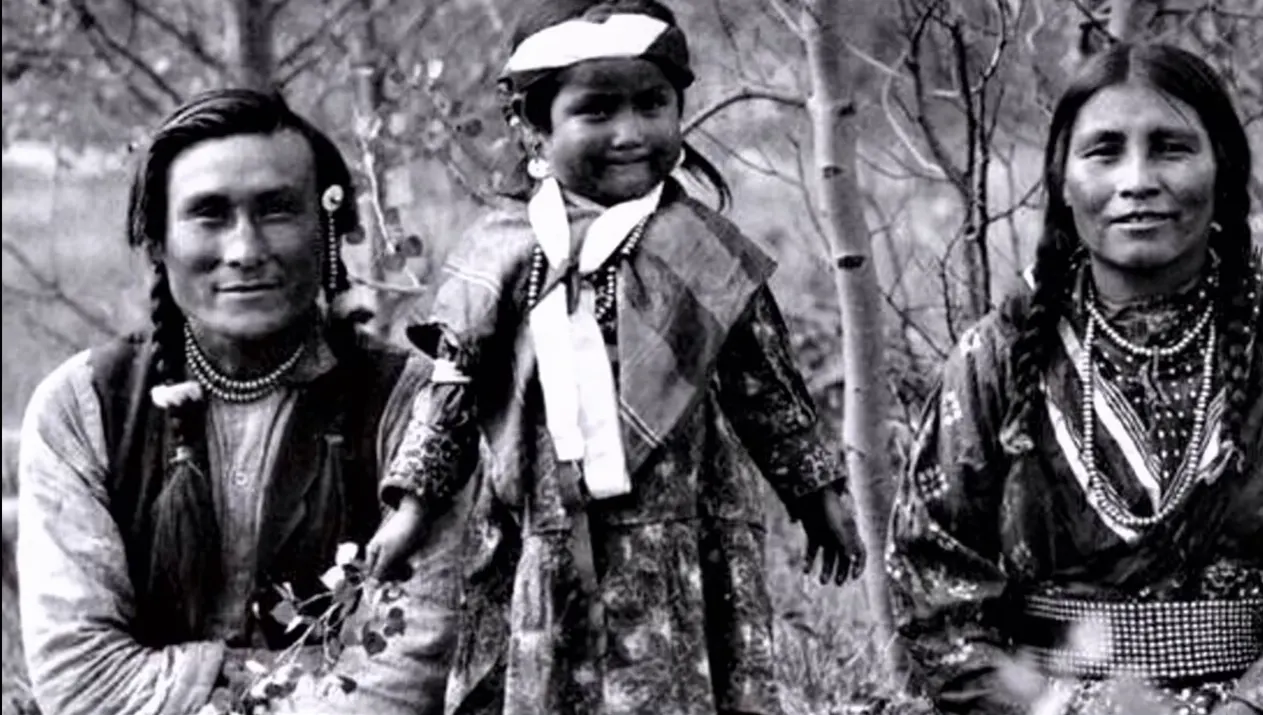
Kootenay Plains
This broad grassland west of the lake was crossed by the explorer David Thompson in the early 1800s and has long mattered to Indigenous peoples, including several sundance lodges and grave sites. Respect the cultural importance of the area.
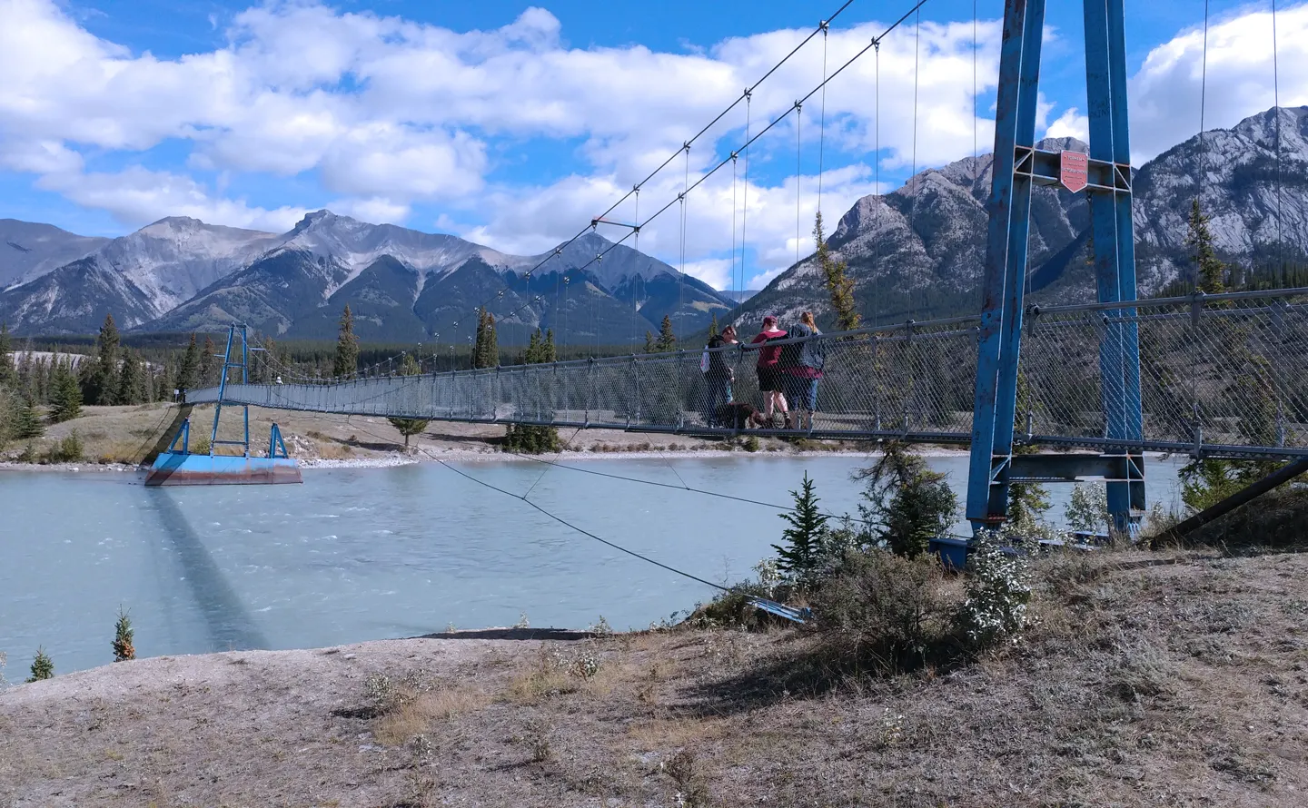
Siffleur Falls
A trail of about 5 kilometres from the day-use parking area leads to Siffleur Falls, a series of three waterfalls on the Siffleur River in the Siffleur Wilderness Area. Plan for a half day, wear sturdy shoes and carry water.
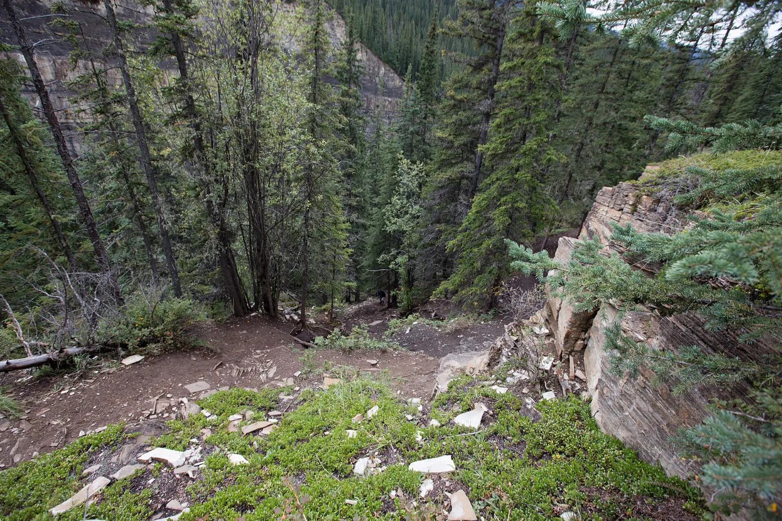
Waterfalls, mining history and fur trade sites
Crescent Falls
A 4.5-kilometre gravel road leads north from Highway 11 to Crescent Falls, a two-tiered drop of about 27 metres on the Bighorn River. The detour and viewpoints take roughly an hour and a quarter.
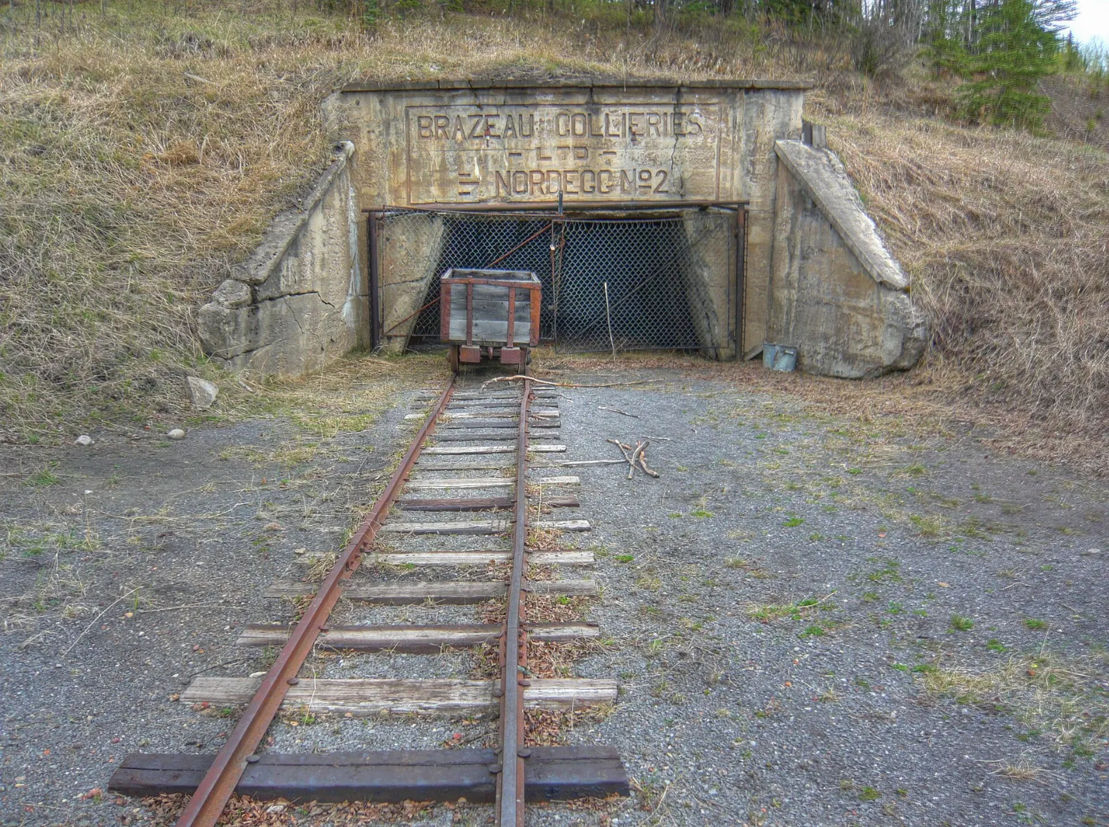
Brazeau Collieries Historic Mine Site
Nordegg began in 1914 as a planned coal town, and the surface buildings of the Brazeau Collieries survive as a National Historic Site of Canada.

Nordegg
The hamlet sits where the foothills meet the Rockies and works as the main supply point for the lake. Walk the small town, then stop at the Miners' Cafe beside the heritage centre.
Ram Falls
Ram Falls Provincial Park lies about 64 kilometres south of Nordegg on Highway 734, a gravel road that is part of the Forestry Trunk Road.
Rocky Mountain House National Historic Site
On the way in or out, this site protects the remains of fur trade forts built between 1799 and 1875 beside the North Saskatchewan River. It is about 6 kilometres west of Rocky Mountain House and rewards an hour of wandering.
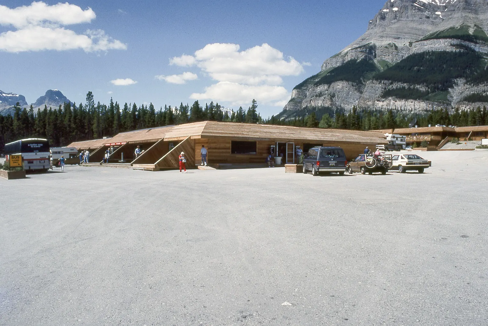
Saskatchewan River Crossing
The highway ends where it meets the Icefields Parkway inside Banff National Park. This is the only place with basic services between Lake Louise and Jasper, though they are seasonal and closed in winter.
 Planning a trip to Abraham Lake?Compare hotels, flights and vacation rentals for Abraham Lake on Expedia.Book now
Food and local flavors
Food options along the corridor are limited, so plan meals ahead. Nordegg's Miners' Cafe is known for its pies, and a slice of saskatoon berry pie, made from a prairie fruit that resembles a blueberry, is the classic Western Canadian treat.
Bannock, a pan-fried bread with deep roots in Indigenous cooking across Canada, is sometimes offered at local events and markets. Alberta beef, from the province's ranch country, appears as steaks and burgers at the larger towns such as Rocky Mountain House.
Popular dishes to try in Abraham Lake


Where to stay
Nordegg is the most convenient base for the east end of the lake. It has cabins, vacation rentals and a hostel at Shunda Creek, and it suits budget travellers, hikers and anyone planning the mine tour.
Cline River lies closer to the water and the Kootenay Plains, about 44 kilometres west of Nordegg.
Rocky Mountain House is the larger town to the east, with motels, restaurants, fuel and a hospital. It suits families and travellers who prefer more services and are happy with a longer drive each morning.
Where to stay in Abraham Lake


Best time to visit
Abraham Lake is usually frozen by late December, and the ice-bubble season peaks from mid-January to mid-February. Winter days are cold and the wind can be fierce, so dress in layers and expect short daylight.
Summer is the easiest season for hiking, falls and driving the Forestry Trunk Road, with long evenings. Spring and autumn bring quieter roads but variable weather, and shoulder-season ice is thin and unreliable.
Getting there and getting around
The lake is a road trip. Fly into Calgary or Edmonton, drive Highway 2 to Red Deer, then head west on Highway 11, the David Thompson Highway, through Rocky Mountain House and Nordegg. Red Deer sits about midway between the two cities.
No scheduled public transport serves the lake, so a car is necessary. Fuel up in Rocky Mountain House or Nordegg, and keep the tank topped up. Cell coverage is patchy west of Nordegg. The Forestry Trunk Road is gravel and used by logging and industrial traffic.
A suggested itinerary
First day
Drive in from Rocky Mountain House, stopping at the national historic site.
Second day
Start early at the Bighorn Dam and the lakeshore pullouts, then hike to Siffleur Falls from the Kootenay Plains.
Third day
Take the gravel road to Ram Falls if conditions allow, or linger on the lake in winter for a second look at the ice before driving back east.
Practical tips
- Fill your fuel tank and buy groceries in Rocky Mountain House or Nordegg before heading west.
- Download offline maps, because cell coverage is spotty and the highway is isolated.
- Bring your own drinking water, as many campgrounds rely on hand pumps.
- Keep a safe distance from waterfall edges and never swim at the base of Crescent Falls.
- Check ice and road conditions locally before walking on the lake or driving in winter.
- Carry warm layers, microspikes for icy paths and a thermos in winter.