Great Smoky Mountains National Park straddles the border of Tennessee and North Carolina, and it is the most visited national park in the United States for good reason.
AT A GLANCE
Best time
Mid-October for fall color; late April to May for wildflowers and waterfalls.
How long
Three to four days lets you cover both the Tennessee and North Carolina sides.
Getting there
Fly into Knoxville's McGhee Tyson Airport or Asheville, then drive to Gatlinburg or Cherokee.
Why visit the Great Smoky Mountains
The Smokies are among the oldest mountains on Earth, and their age shows in the long, forested ridgelines rather than jagged summits. The haze comes from moisture and natural compounds released by the dense vegetation, and on summer mornings it pools in the valleys so that ridges appear in layer after layer of fading blue.
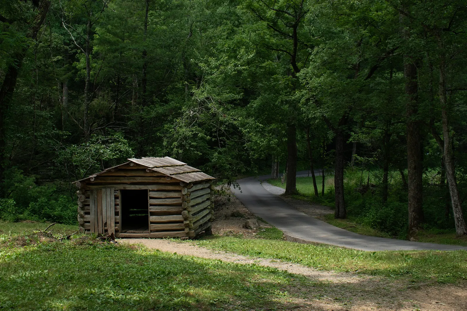
Beyond scenery, the park preserves a human story. Before it was established in 1934, families farmed these coves and hollows, and the park keeps one of the best collections of historic log buildings in the eastern United States.
The Tennessee side: Gatlinburg to Cades Cove
Sugarlands Visitor Center
Just two miles south of Gatlinburg on Newfound Gap Road, Sugarlands is the main gateway on the Tennessee side.
Cades Cove
Cades Cove is a broad, flat valley ringed by mountains and dotted with historic churches, cabins and a working gristmill. An 11-mile, one-way loop road circles the cove, and white-tailed deer, wild turkeys and black bears are frequently seen in the fields at dawn and dusk.
Arrive before sunrise for the best wildlife and the lightest traffic. In 2026, the loop is closed to motor vehicles on Wednesdays from early May through the end of September, so you can walk or cycle the entire road in peace.
Roaring Fork Motor Nature Trail
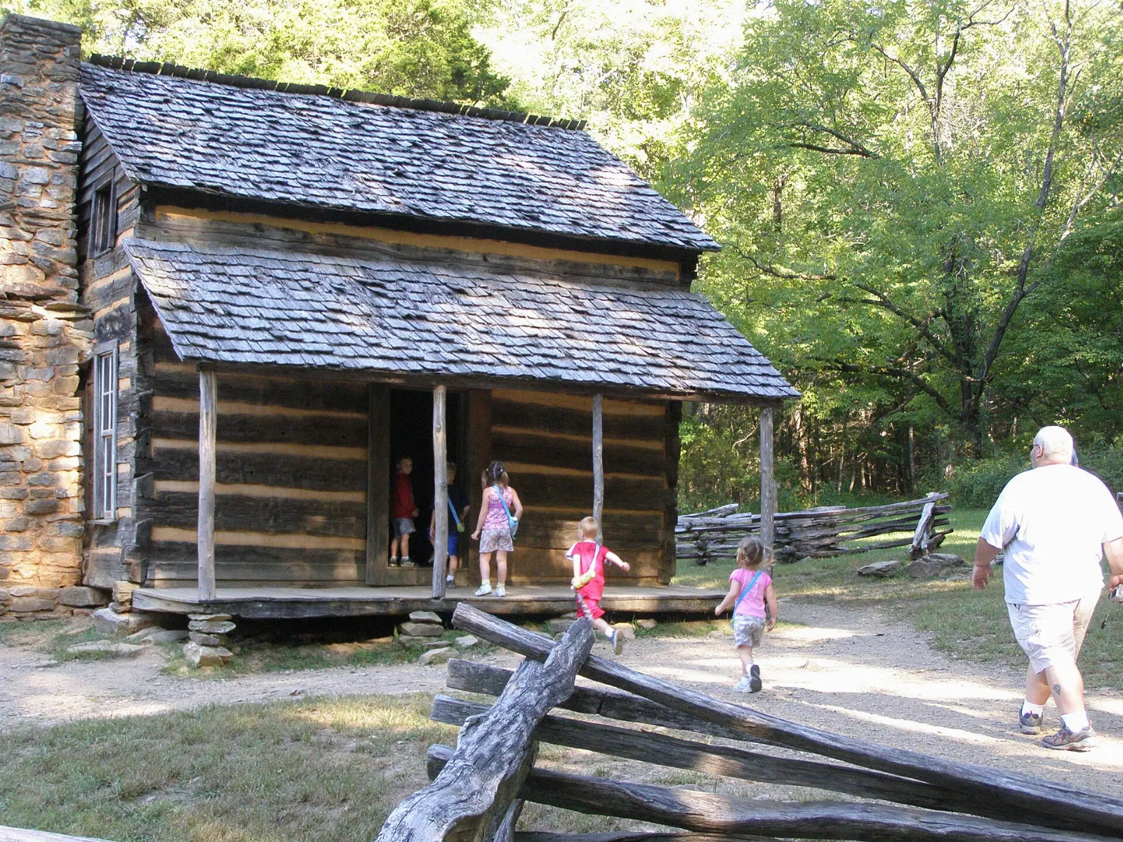
This narrow, winding one-way road leaves directly from Gatlinburg and passes through dense hardwood forest, along rushing streams and past preserved homesteads such as the Ephraim Bales Place.
Elkmont and the Little River
Along Little River Road between Sugarlands and Townsend, the river tumbles over boulders and pools that are popular for wading on hot days. Elkmont, a former logging town and resort community, has a cluster of restored cabins you can walk through.
The high country: Newfound Gap and Kuwohi
Newfound Gap
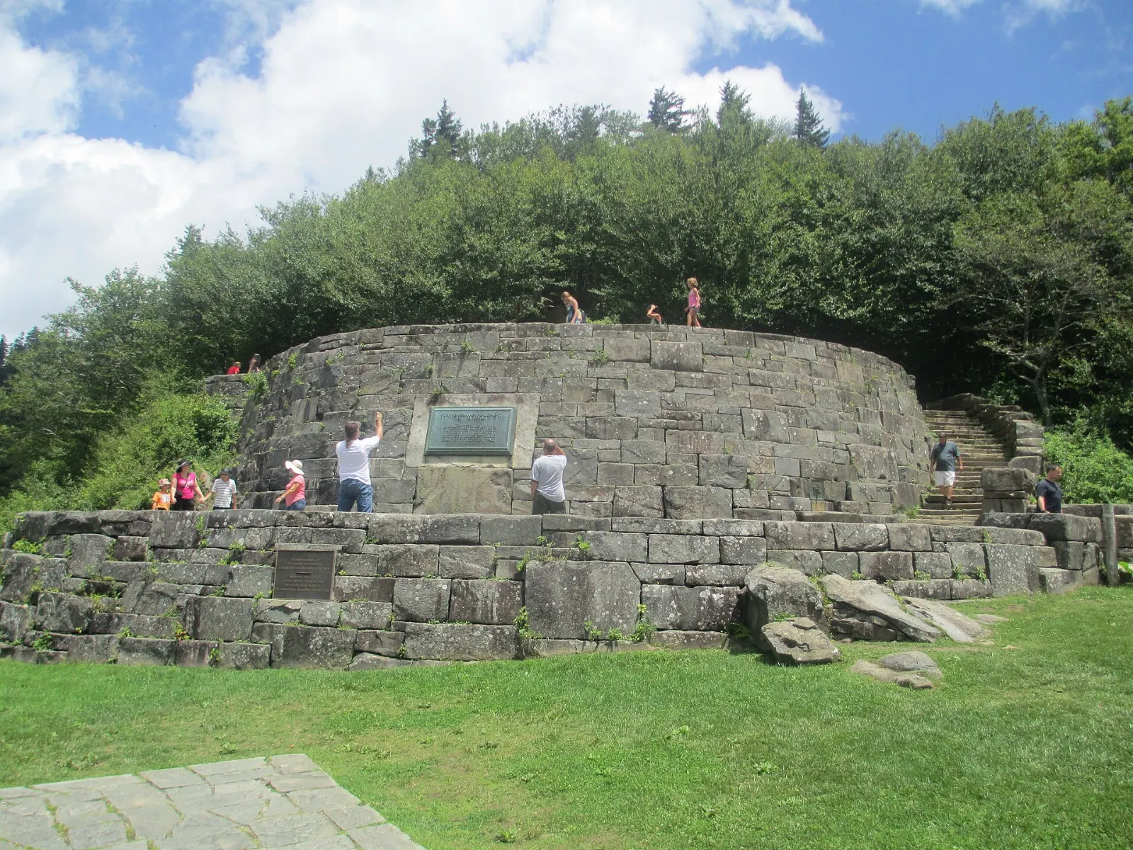
Newfound Gap Road, US 441, is the only road that crosses the park, climbing from Gatlinburg to Cherokee. At its high point, Newfound Gap straddles the state line, and the Rockefeller Memorial overlook is where President Franklin D. Roosevelt dedicated the park in 1940.
Kuwohi
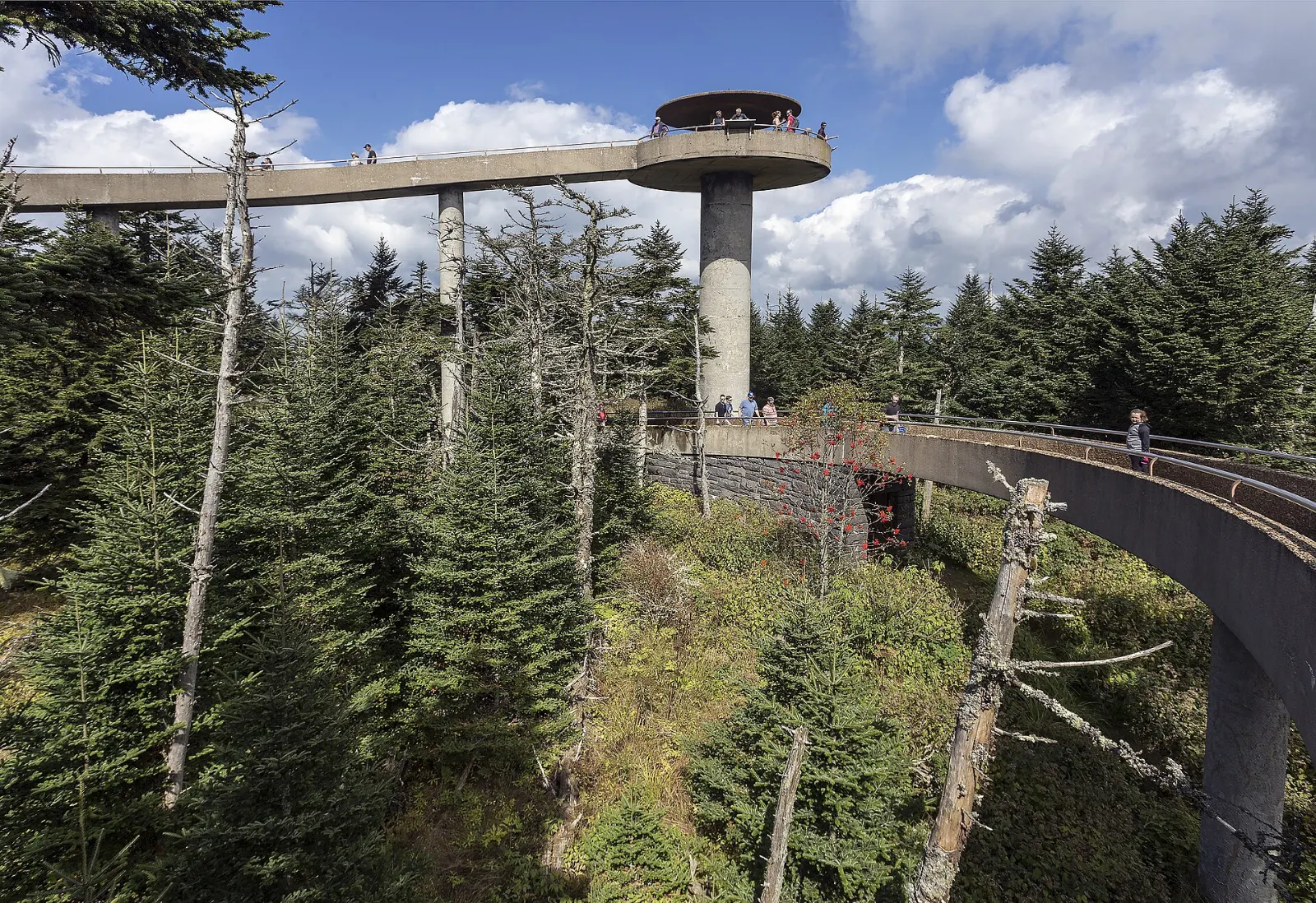
Formerly known as Clingmans Dome, Kuwohi was officially renamed in 2024, restoring the Cherokee name for the mountain. At 6,643 feet it is the highest point in the park and in Tennessee.
Alum Cave Trail
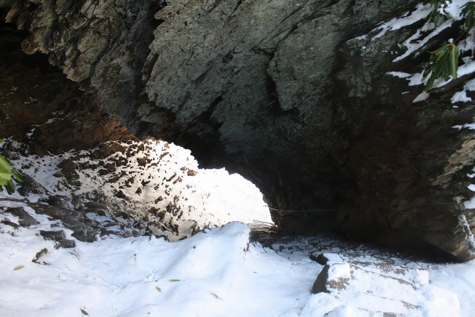
One of the most scenic trails in the park, Alum Cave climbs from Newfound Gap Road past Arch Rock, a natural tunnel with stone steps, to Inspiration Point and the overhanging bluff known as Alum Cave Bluffs. That round trip of about four and a half miles takes three to four hours.
Chimney Tops
The Chimney Tops Trail is short but steep, gaining a lot of elevation over two miles to an observation point that looks across to the rocky twin pinnacles. The final rock scramble to the summit has been closed since a 2016 wildfire, so the trail now ends at a viewing platform.
The North Carolina side: Oconaluftee to Cataloochee
Oconaluftee Visitor Center and Mountain Farm Museum
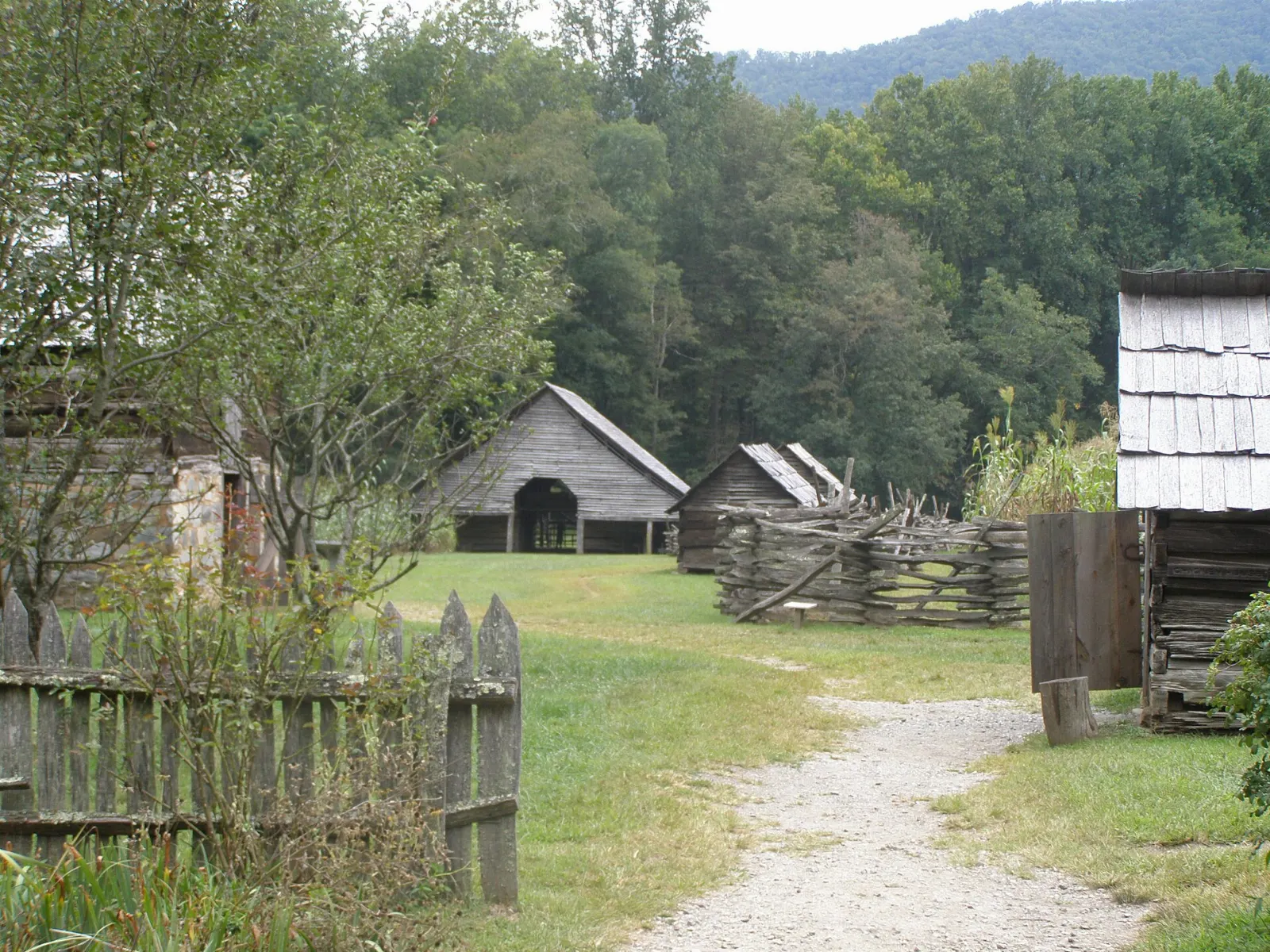
At the southern end of Newfound Gap Road, just outside Cherokee, the Oconaluftee Visitor Center sits beside the Mountain Farm Museum, a collection of log buildings including a farmhouse, barn, apple house and smokehouse moved here from around the park.
Mingus Mill
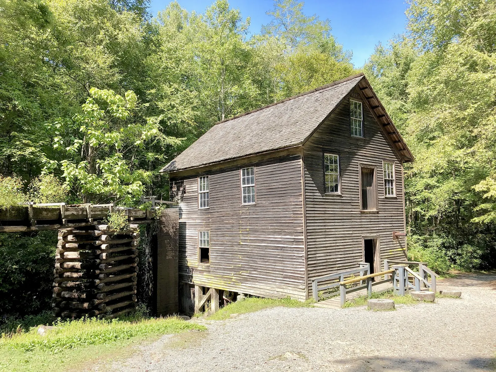
Half a mile north of Oconaluftee, Mingus Mill is a water-powered gristmill built in 1886 that uses a cast-iron turbine rather than a water wheel. A long wooden millrace carries water to the mill, and in season you may see it grinding cornmeal.
Cataloochee Valley
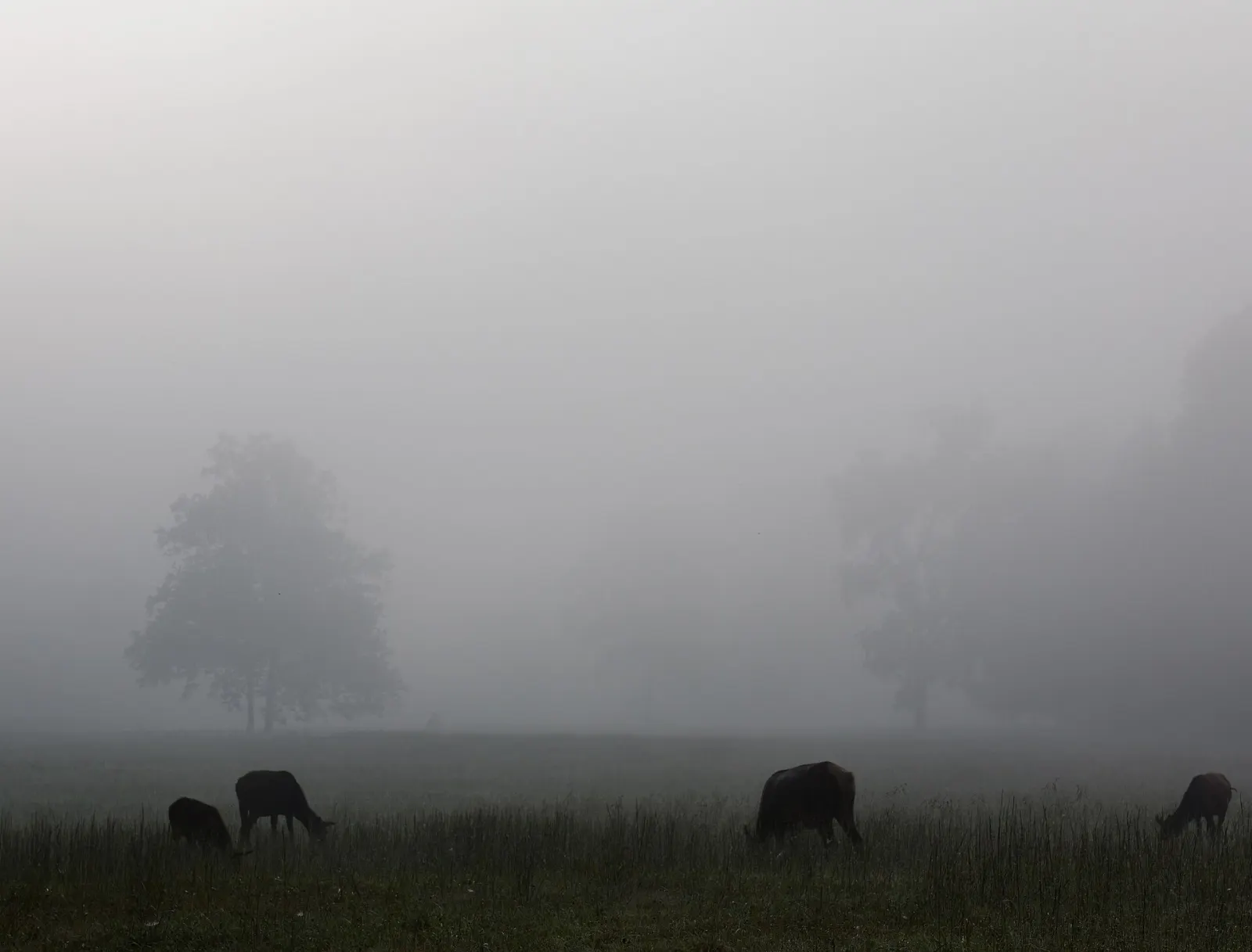
Cataloochee is a remote valley on the park's eastern edge, reached by a winding, partly gravel road from near Maggie Valley.
Deep Creek
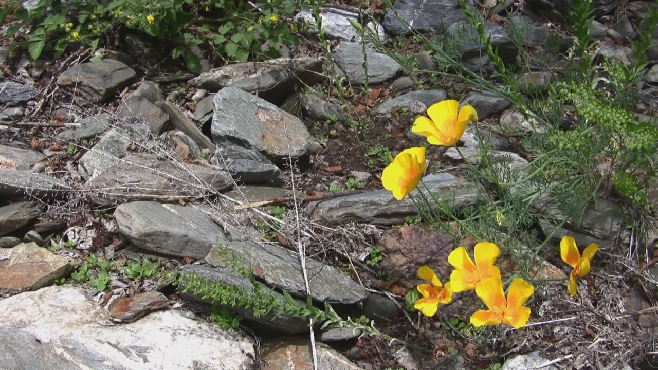
Near Bryson City, Deep Creek is known for three waterfalls within an easy few miles of the trailhead: Juney Whank Falls, Tom Branch Falls and Indian Creek Falls. In summer the creek is a popular tubing spot.
 Planning a trip to Great Smoky Mountains National Park?Compare hotels, flights and vacation rentals for Great Smoky Mountains National Park on Expedia.Book now
Food and local flavors
There are no restaurants inside the park, so plan to eat in the gateway towns or pack a picnic for one of the park's picnic areas, such as Chimneys or Cades Cove.
Gatlinburg's Parkway is lined with pancake houses, and a big breakfast before an early start is something of a local ritual. The town also has several moonshine distilleries offering tastings.
Popular dishes to try in Great Smoky Mountains National Park


Where to stay
Gatlinburg is the most convenient base for first-time visitors: it borders the park, with Sugarlands, Roaring Fork and Newfound Gap Road minutes away. It is lively, walkable and busy, with cabins in the hills above town. Pigeon Forge and Sevierville suit families who want attractions such as Dollywood alongside the park, though you will add driving time.
In North Carolina, Cherokee places you right at Oconaluftee and the southern end of Newfound Gap Road, while Bryson City has a small-town feel and easy access to Deep Creek. Maggie Valley and Waynesville are the best bases for Cataloochee.
Where to stay in Great Smoky Mountains National Park


Best time to visit
Spring, from late March to May, brings waves of wildflowers, starting in the lower elevations and climbing the mountains as the weeks pass, and waterfalls run strongest after spring rains.
Winter is quiet and often beautiful, with clear views across the bare trees and occasional snow in the high country.
Getting there and getting around
The closest airports are McGhee Tyson Airport near Knoxville, roughly an hour's drive from Gatlinburg, and Asheville Regional Airport, about an hour and a half from Cherokee.
Parking tags: Entry is free, but any vehicle parked in the park for more than 15 minutes must display a valid parking tag.
Some secondary roads are seasonal, including Kuwohi Road, Roaring Fork Motor Nature Trail, Rich Mountain Road and Parson Branch Road, and several prohibit large RVs and trailers.
A suggested itinerary
First day
Begin at Sugarlands Visitor Center, then drive up Newfound Gap Road to Newfound Gap and on to Kuwohi for the tower view.
Second day
Leave before sunrise for Cades Cove, drive the loop slowly with stops at the churches and Cable Mill, and hike to Abrams Falls.
Third day
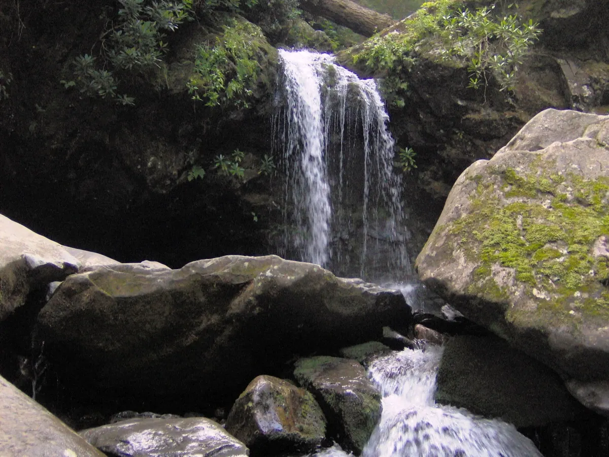
Drive the Roaring Fork Motor Nature Trail in the morning with a hike to Grotto Falls.
Fourth day
Base yourself in Maggie Valley or Bryson City. Spend the early morning in Cataloochee Valley for elk and historic buildings, or take the waterfall loop at Deep Creek.
Practical tips
- Buy your parking tag before you arrive and display it on the dashboard whenever you stop for more than 15 minutes.
- Check the park's Closures and Alerts page each morning, as roads and trails change with weather and repairs.
- Stay at least 50 yards from bears and elk; willfully approaching within that distance is illegal in the park.
- Never feed wildlife, and store food in your vehicle or bear-proof containers.
- Arrive at popular trailheads such as Alum Cave and Kuwohi at dawn on weekends and in October.
- Pack layers and rain gear; the high country can be twenty degrees cooler than Gatlinburg and storms build quickly.
Find local businesses in Gatlinburg on WiserMap
Gatlinburg is the main gateway to the Tennessee side of the park, with outfitters, cabin rentals, restaurants and guides close to the entrance.