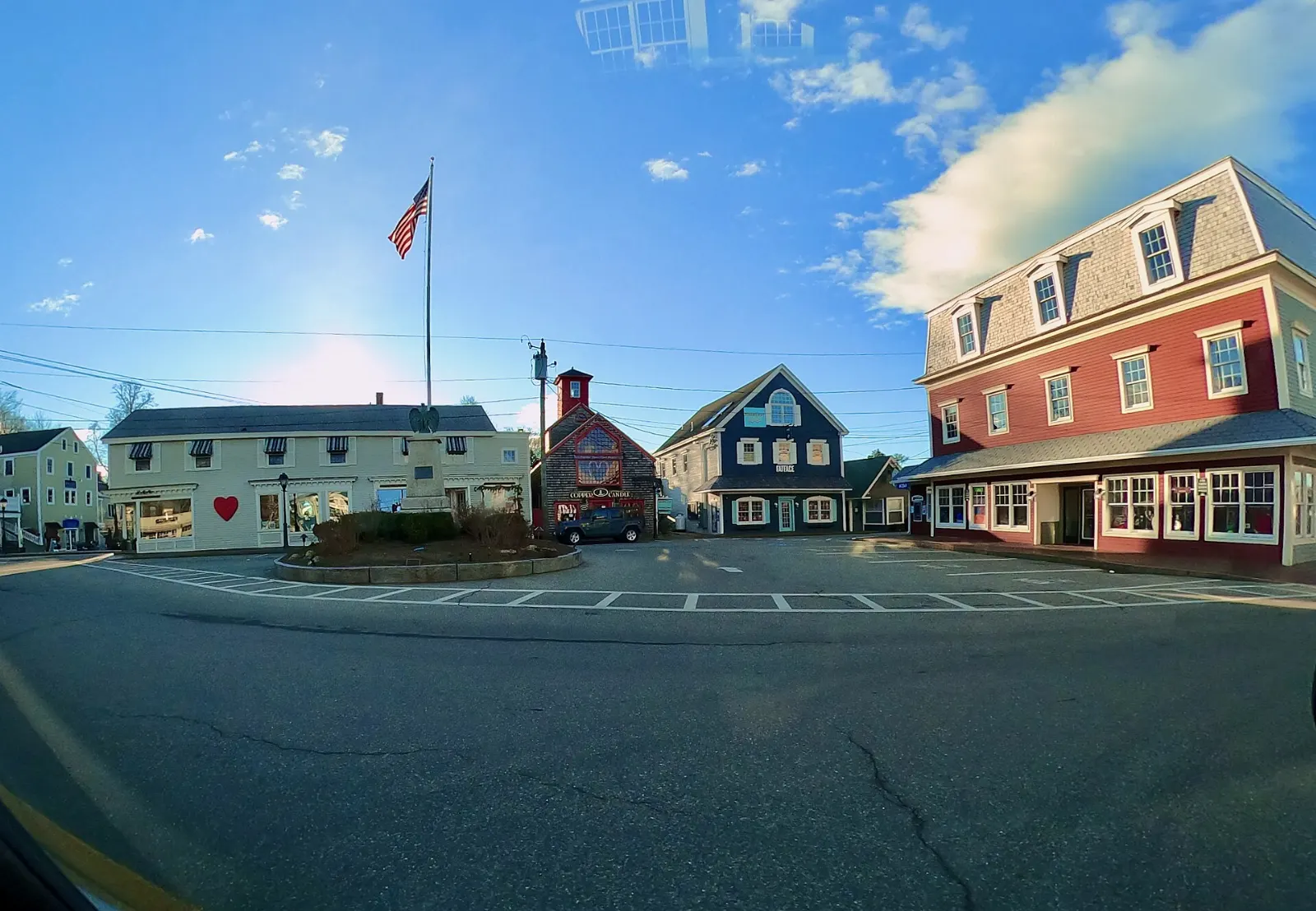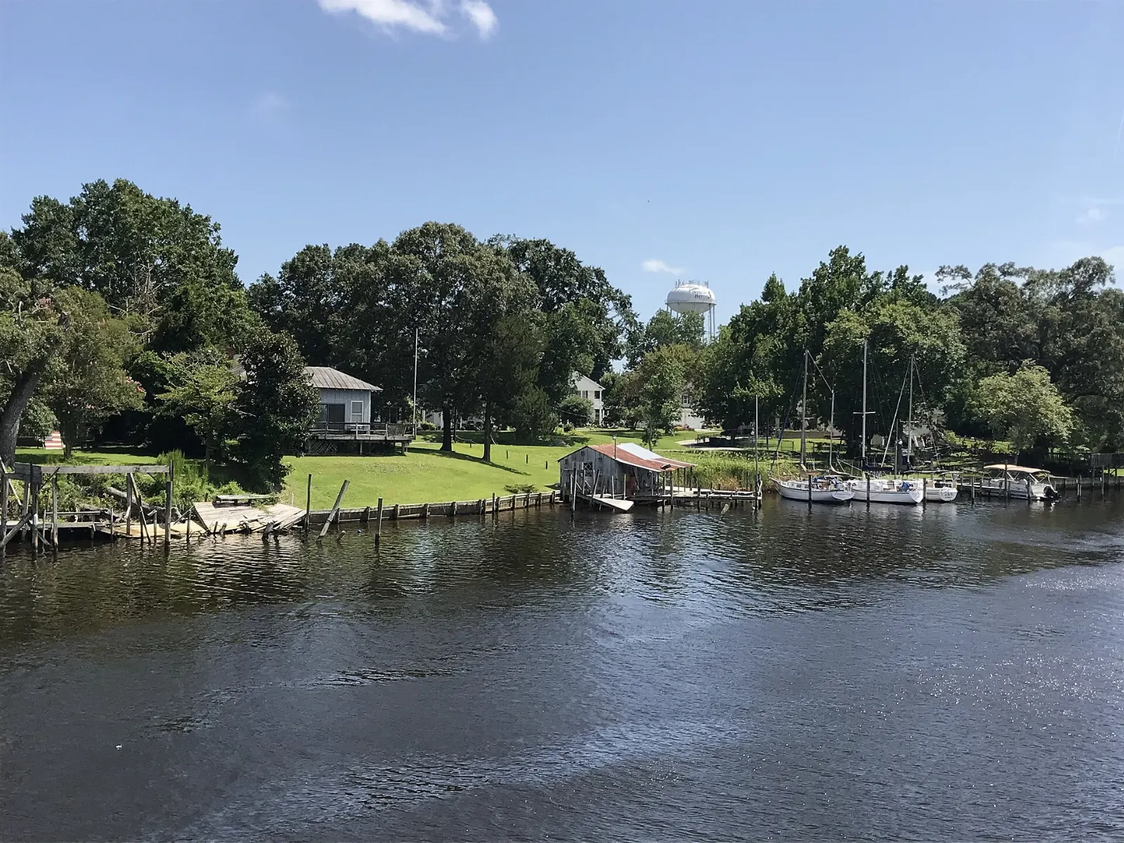
Acadia National Park protects a dramatic piece of the Maine coast where pink granite mountains run straight down to the Atlantic.
AT A GLANCE
Best time
June through mid-October, with September and early October offering fewer crowds and fall color.
How long
Three days covers the highlights; four or five lets you add Schoodic and more hiking.
Getting there
Fly to Bar Harbor or Bangor, or drive from Portland or Boston; reserve Cadillac Summit Road in season.
Why visit Acadia National Park
Acadia packs an unusual amount of variety into a compact area. Glaciers scraped the island's granite into rounded peaks and carved deep valleys, including Somes Sound, a long arm of the sea that nearly splits Mount Desert Island in two.
The park also has a remarkable history. It was the first national park east of the Mississippi River, created largely through land donated by summer residents in the early twentieth century. John D. Rockefeller Jr. financed the network of broken-stone carriage roads and granite bridges that still lets you walk, cycle or ride horses through the interior without cars.
Cadillac Mountain and the Park Loop Road
The Park Loop Road circles the eastern side of Mount Desert Island for about twenty seven miles, linking many of the best known sights. Part of it is one way, so plan your stops in order and expect busy parking areas in summer.
Cadillac Mountain
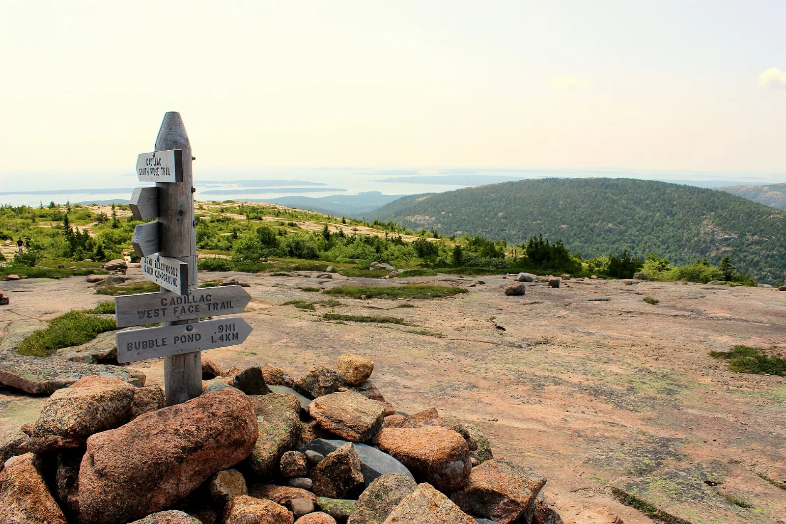
At about 1,530 feet, Cadillac Mountain is the highest point on the island, and the summit gives you a sweeping view over Frenchman Bay, the Porcupine Islands and Bar Harbor.
Sand Beach
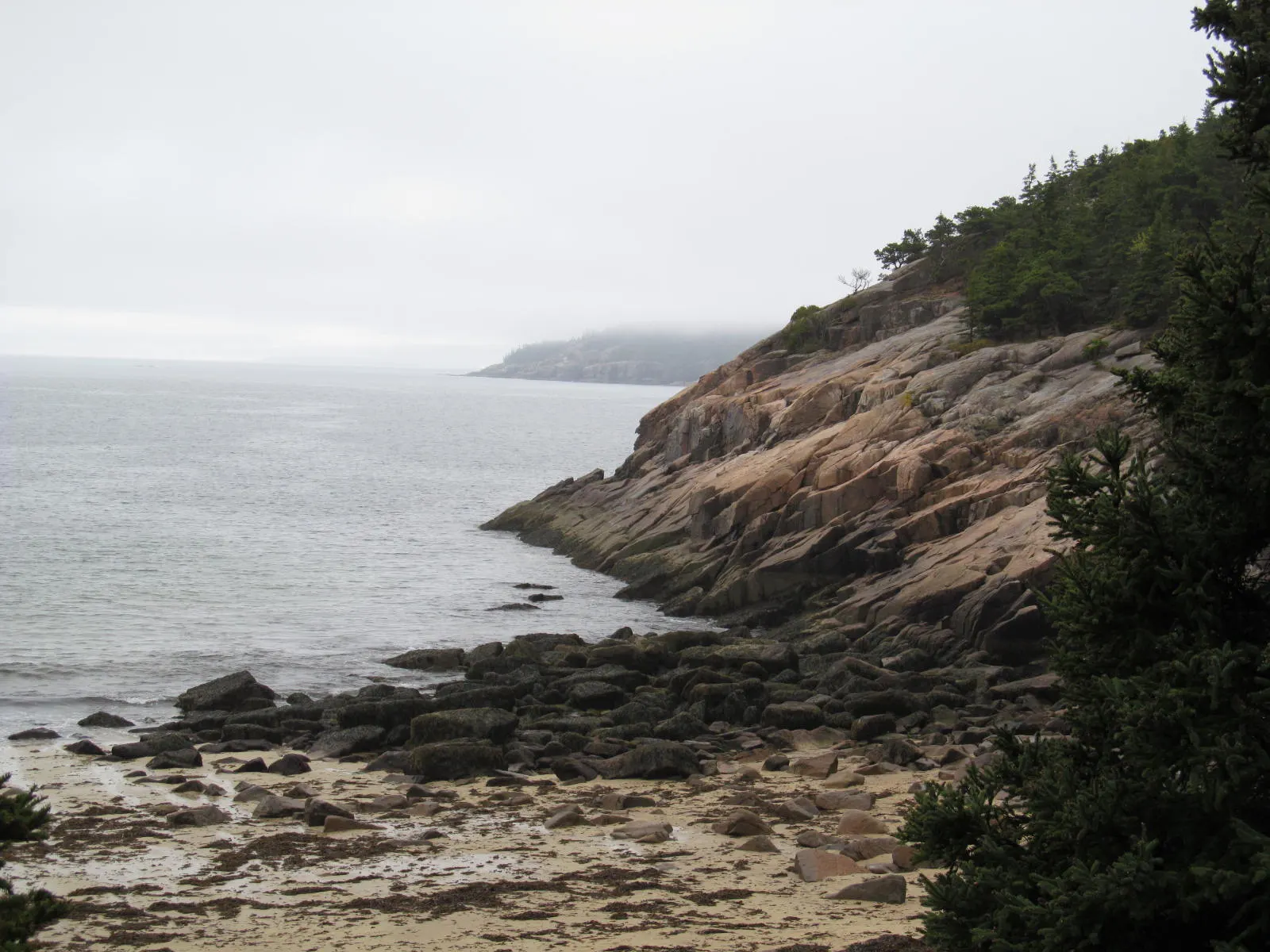
Sand Beach is a small cove of pale sand and shell fragments framed by granite headlands, unusual on this rocky coast. The water rarely warms much above the mid fifties, but on a hot day a quick dip is refreshing, and lifeguards are on duty in summer.
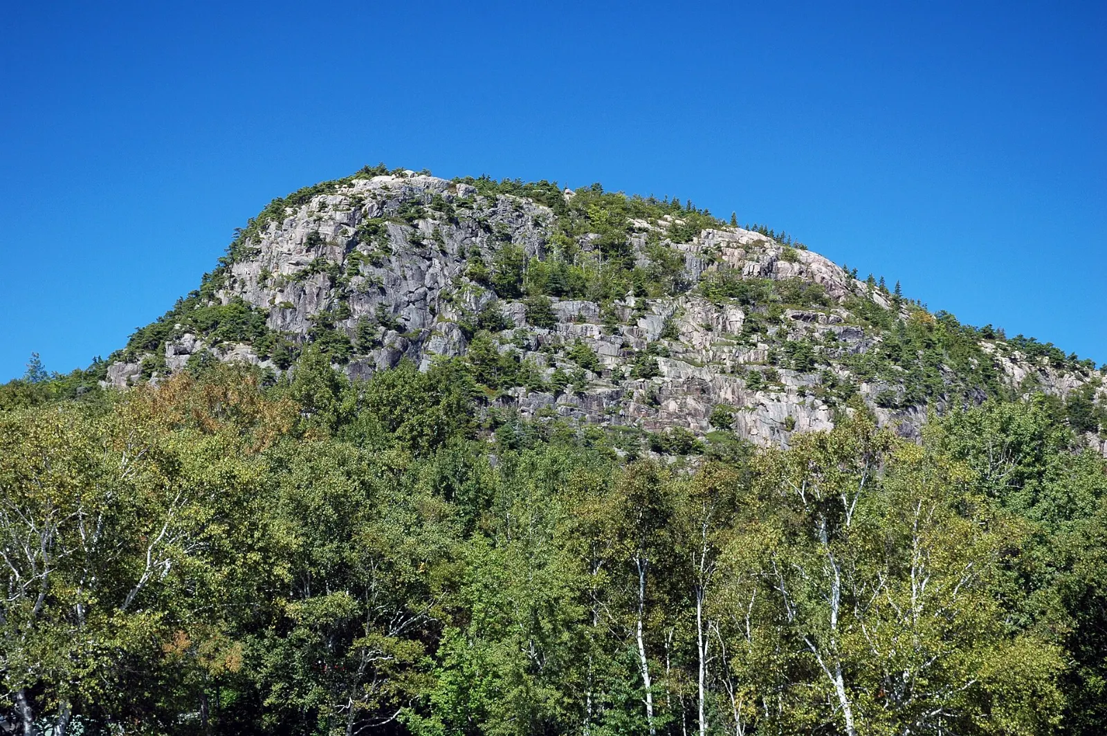
The Beehive and Great Head
Rising directly behind Sand Beach, the Beehive is a short but steep climb with iron rungs, narrow ledges and big drops, and the reward is a view down to the beach and out to sea. Expect about an hour and a half round trip.
Ocean Path and Thunder Hole
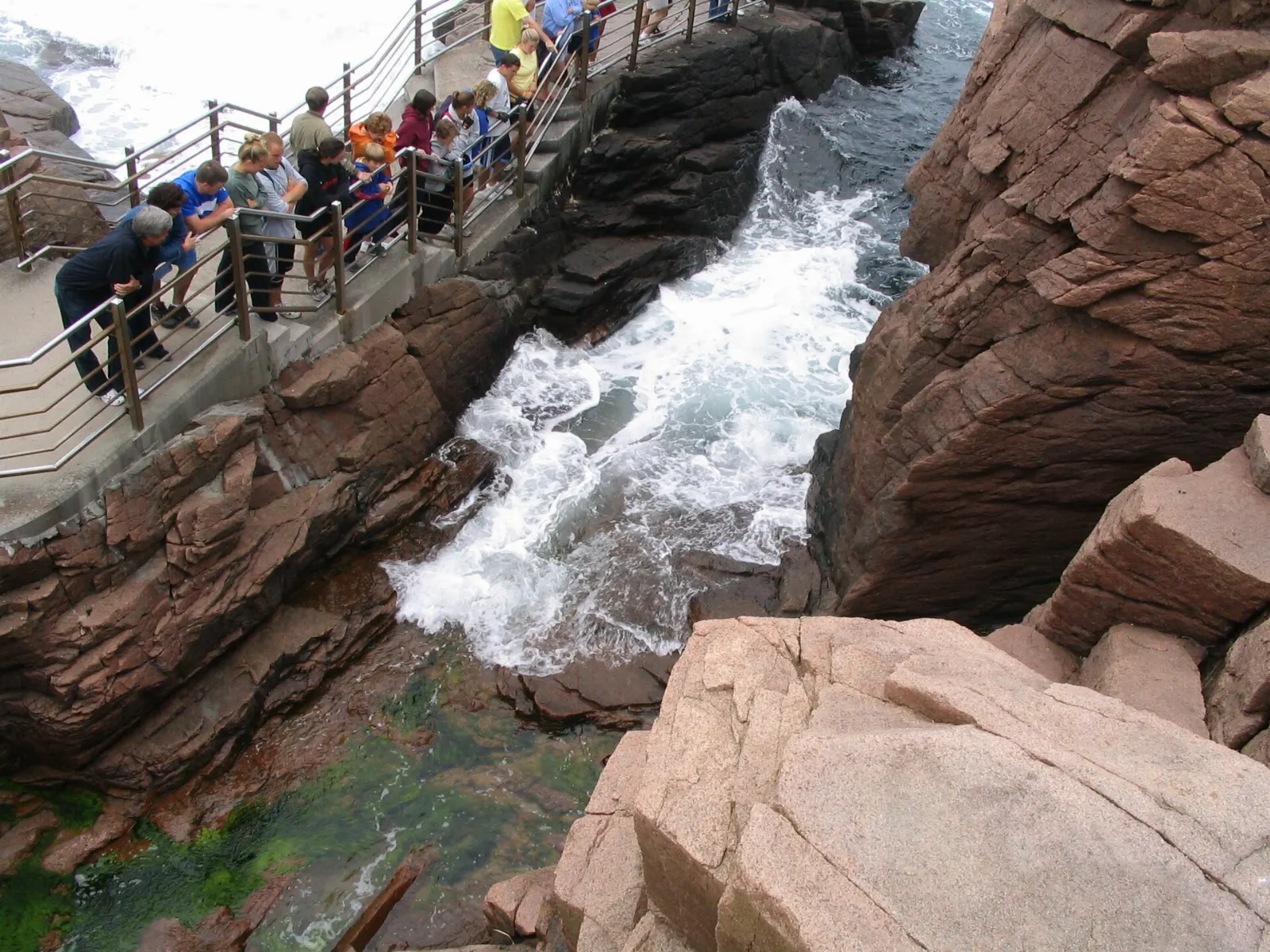
The Ocean Path follows the shoreline for about two miles from Sand Beach to Otter Point, and it is one of the most rewarding easy walks in the park. Along the way, Thunder Hole is a narrow chasm where incoming waves can compress air and send up a deep boom and plume of spray.
Otter Cliff
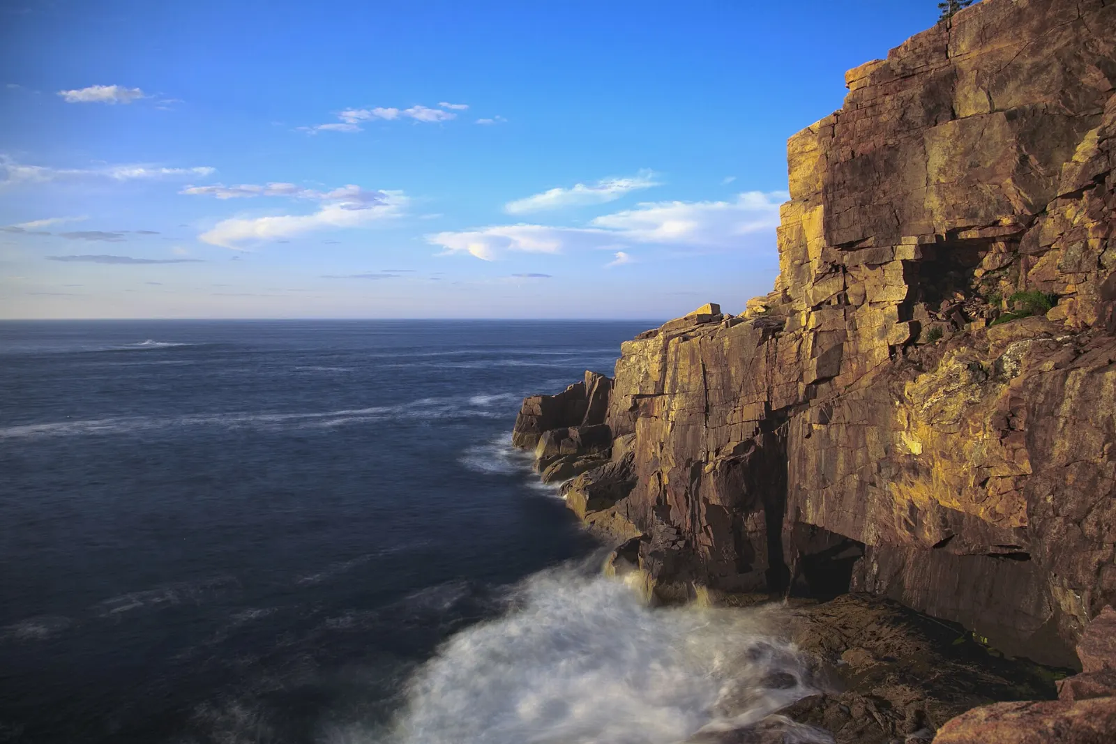
Just past Thunder Hole, Otter Cliff rises sheer from the ocean and is among the tallest headlands on the Atlantic coast of the eastern United States. Walk the Ocean Path to the top for views back toward Sand Beach, or look up from the rocks at Otter Point.
Jordan Pond and the carriage roads
Jordan Pond and the Bubbles
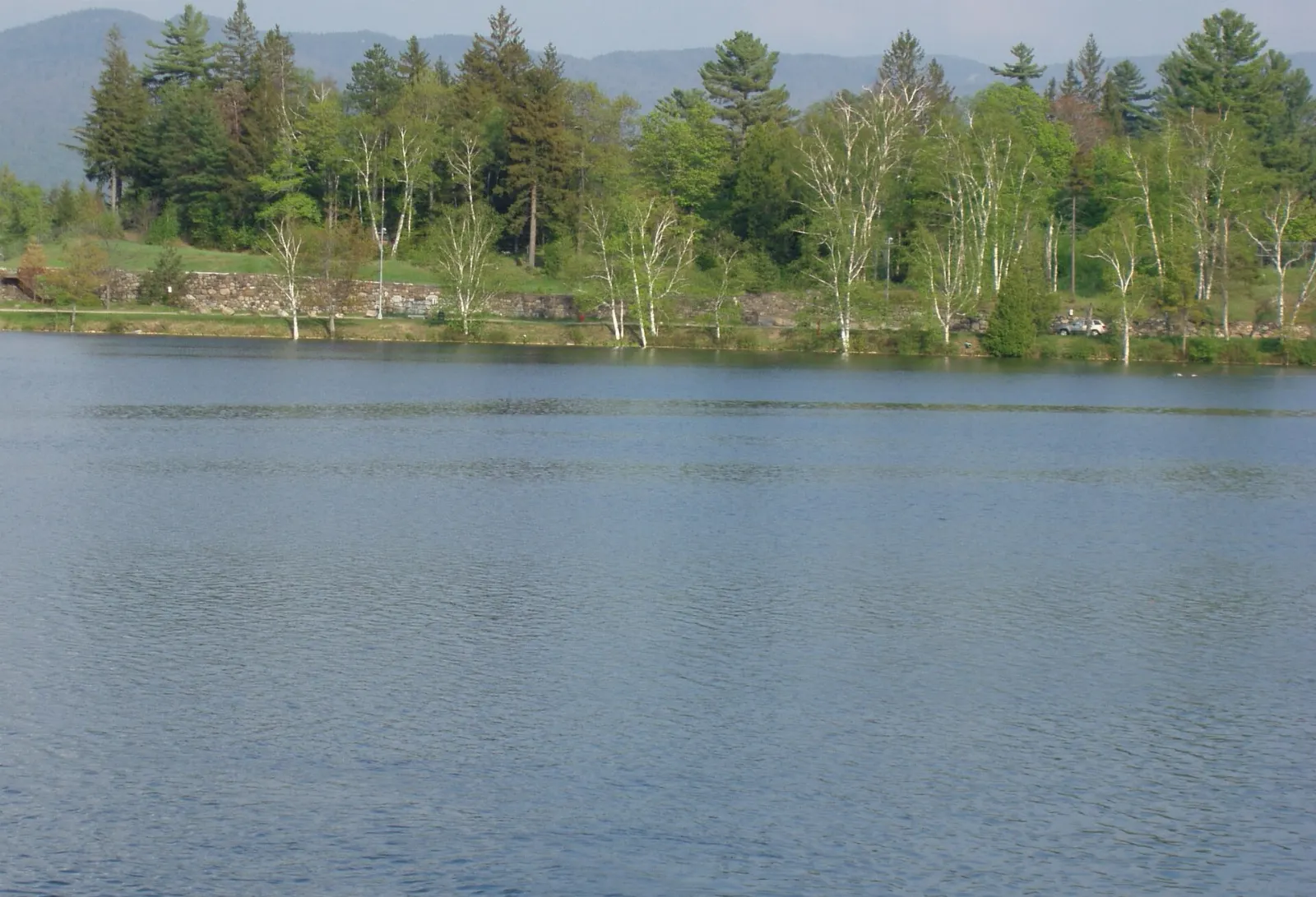
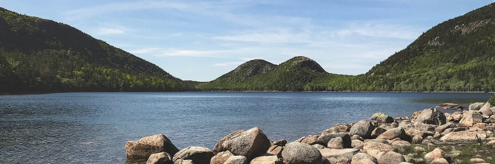
Jordan Pond is a clear glacial lake with the rounded twin summits of North and South Bubble rising at its far end, and it is one of the most photographed views in the park. A flat path of about three miles circles the pond, partly on boardwalk, and takes around an hour and a half. Swimming and wading are not allowed because the pond is a public water supply.
The carriage roads
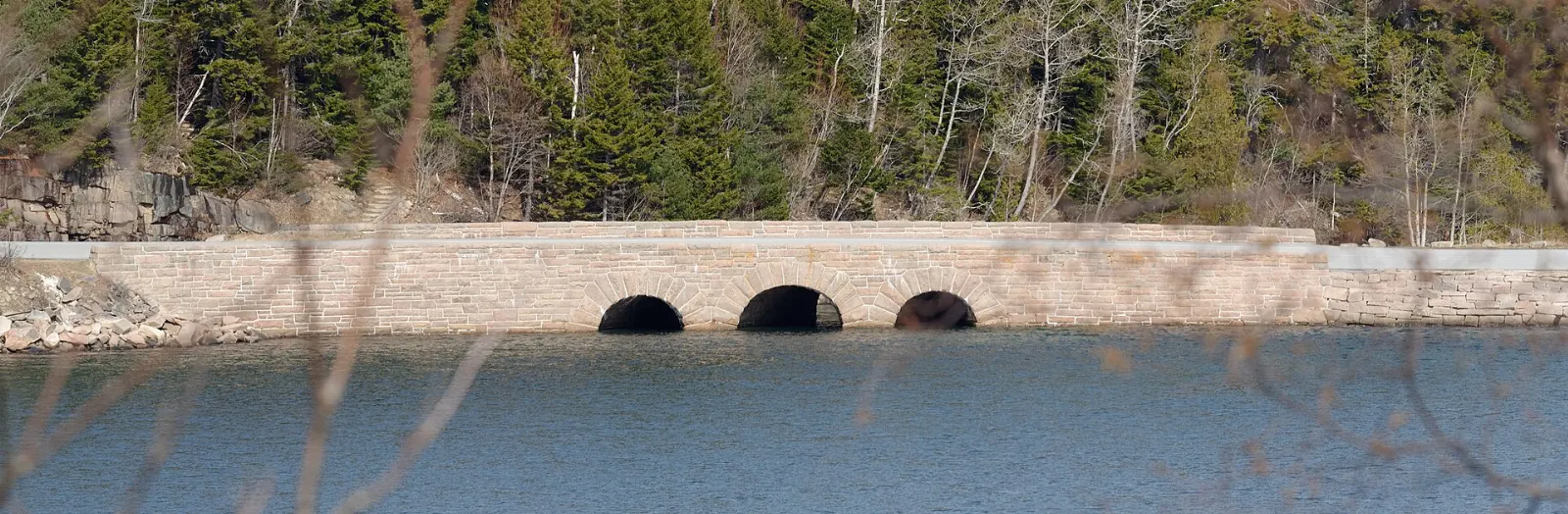
About forty five miles of carriage roads wind through the park's interior, closed to motor vehicles and surfaced with crushed stone. They are ideal for cycling, walking and, in winter, cross-country skiing. Seventeen stone-faced bridges were built along the system, each designed to fit its setting.
The quiet side, Bar Harbor and Schoodic
Bass Harbor Head Light
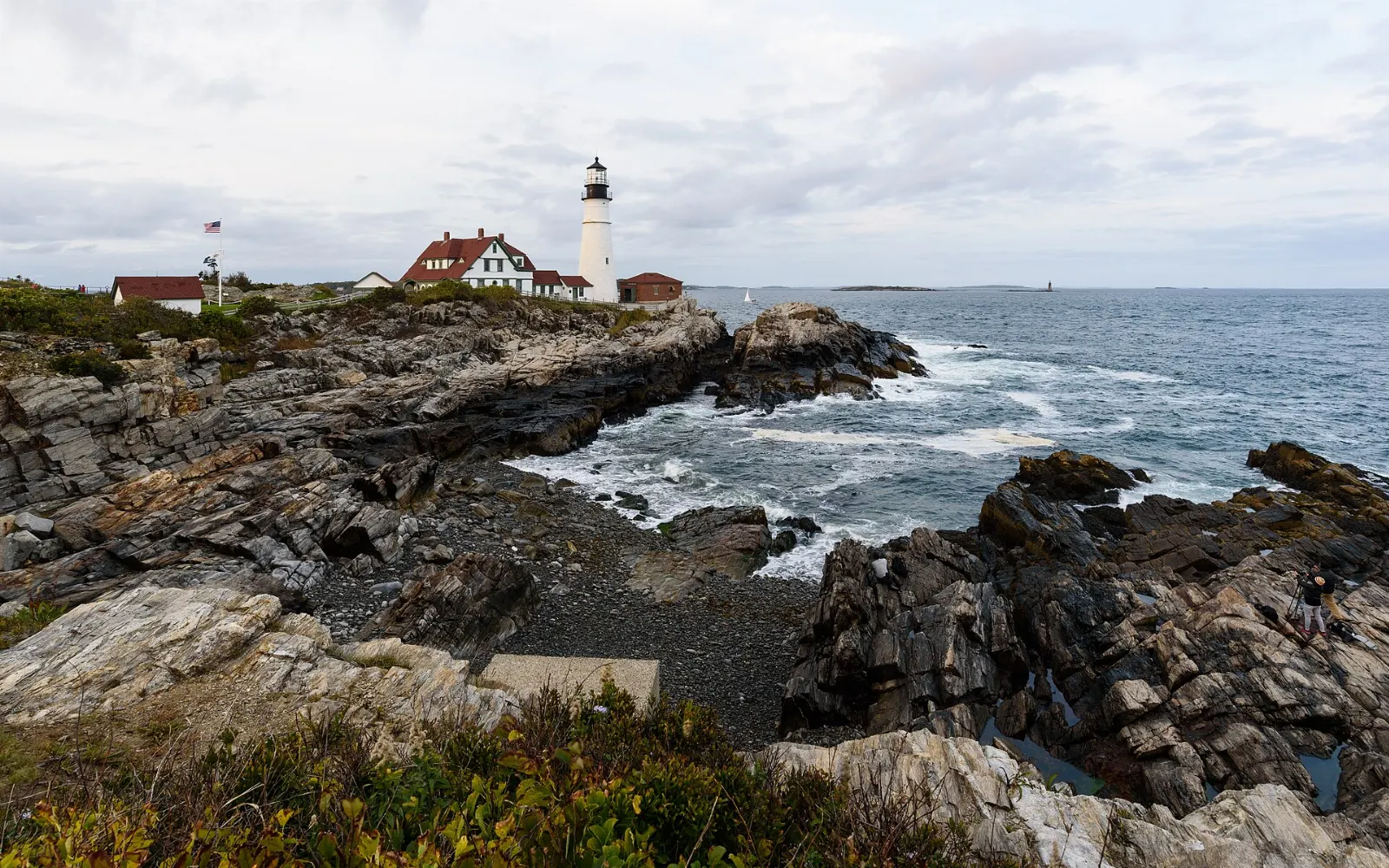
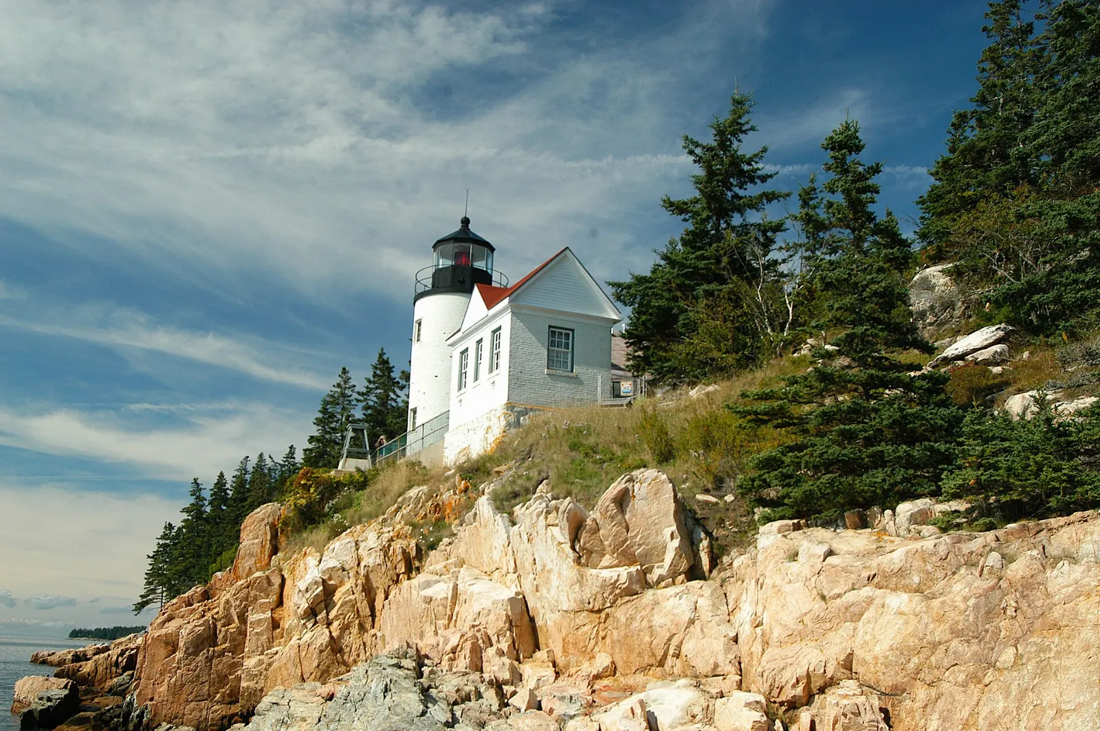
On the southwestern tip of Mount Desert Island, Bass Harbor Head Light stands on a rocky ledge above the sea. The lighthouse itself is not open to the public, but a short path leads to the station and stairs lead down to the rocks for the classic view from below.
Echo Lake and Somes Sound
Echo Lake Beach is a freshwater swimming area on the west side, with warmer water than the ocean and a lifeguard in summer. The Acadia Mountain Trail nearby climbs to views over Somes Sound in around two hours round trip.
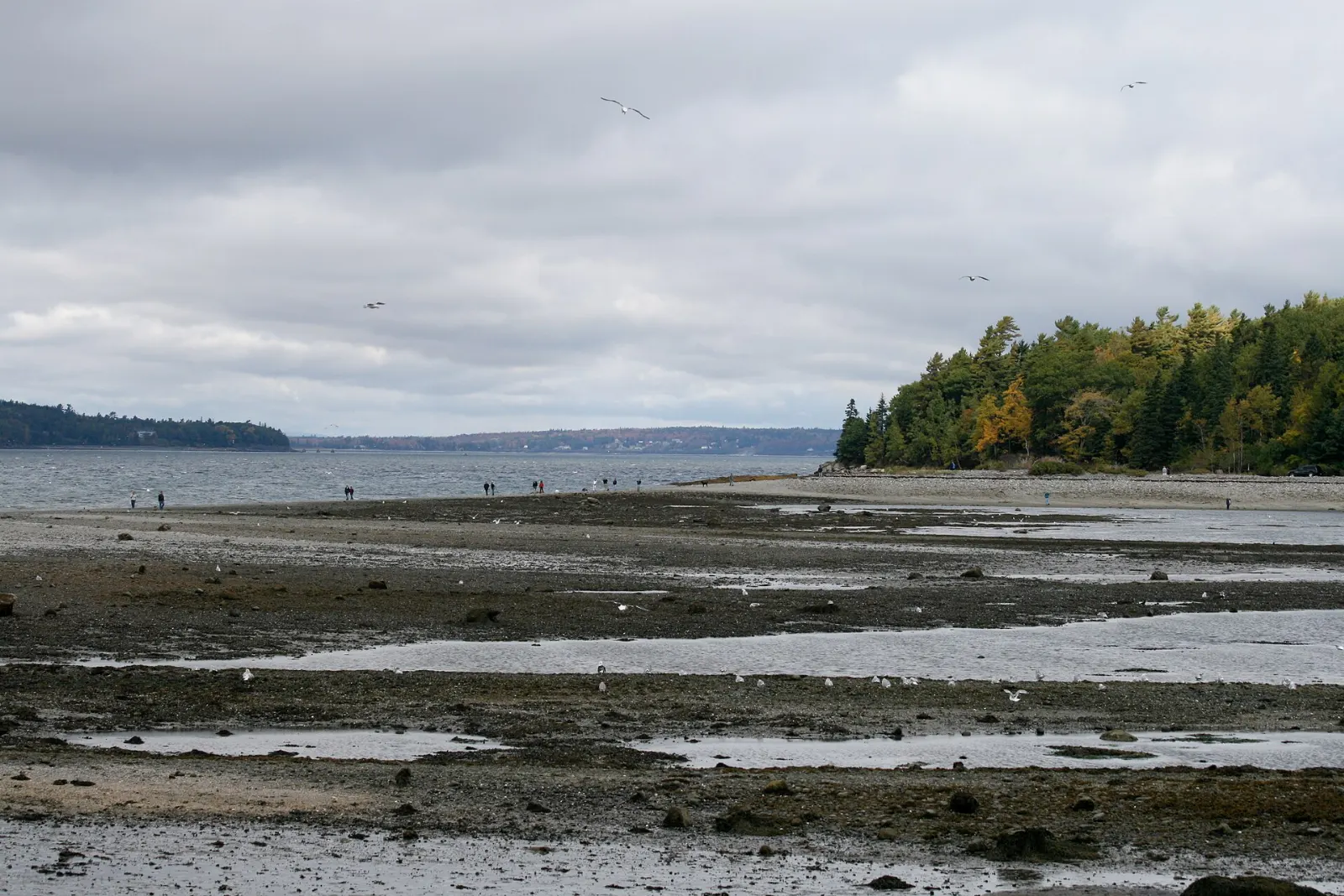
Bar Harbor and Bar Island
Bar Harbor is the main gateway town, with shops, restaurants, whale watching and boat tours along its waterfront. The Shore Path follows the edge of Frenchman Bay past grand old cottages.
Schoodic Peninsula
Schoodic is the only part of Acadia on the mainland, about an hour's drive from Bar Harbor or reached by seasonal passenger ferry from Bar Harbor to Winter Harbor. A six mile one-way loop road passes coves and spruce forest to Schoodic Point, where waves break over broad slabs of granite streaked with dark volcanic dikes.
 Planning a trip to Acadia National Park?Compare hotels, flights and vacation rentals for Acadia National Park on Expedia.Book now
Food and local flavors
Lobster is the star.
Bar Harbor has the widest choice of restaurants, from casual seafood shacks to more formal dining. Southwest Harbor, Bass Harbor and Northeast Harbor have smaller harbor-side spots that feel more local.
Popular dishes to try in Acadia National Park


Where to stay
Bar Harbor. The most convenient base for first time visitors, with the widest range of inns and motels, restaurants and shops, and the hub of the Island Explorer shuttle.
Northeast Harbor. A small, elegant village close to Jordan Pond and the carriage roads, suited to couples and walkers.
Campgrounds. The park runs Blackwoods Campground near Otter Creek, Seawall Campground on the quiet side and Schoodic Woods on the peninsula.
Trenton and Ellsworth. Towns just off the island often offer more availability, with a longer drive in, and the Acadia Gateway Center in Trenton connects to the shuttle.
Where to stay in Acadia National Park


Best time to visit
Summer, from late June through August, has the warmest weather, full shuttle service and every facility open, but it is also the most crowded season.
September and early October are many visitors' favorite time, with cooler hiking weather and fall foliage that usually peaks around early to mid-October.
Getting there and getting around
Hancock County Bar Harbor Airport in Trenton has a small number of flights, while Bangor International Airport is roughly an hour's drive away.
Every vehicle and visitor needs a park entrance pass, which you can buy online in advance.
The fare-free Island Explorer shuttle runs from late spring into the fall, linking Bar Harbor, campgrounds, villages and trailheads, and it is the easiest way to avoid parking struggles at Sand Beach and Jordan Pond.
A suggested itinerary
First day
Drive or ride the shuttle along the Park Loop Road.
Second day
Rent bikes and spend the morning on the carriage roads around Eagle Lake or Jordan Pond, then walk the Jordan Pond loop and stop for popovers.
Third day
Explore the quiet side: swim at Echo Lake, hike Acadia Mountain over Somes Sound, wander the Ship Harbor Trail and finish at Bass Harbor Head Light for sunset, followed by lobster in Southwest Harbor.
Fourth day
Take the ferry or drive to the Schoodic Peninsula, cycle or drive the loop road and explore the ledges at Schoodic Point before returning in the afternoon.
Practical tips
- Buy your park entrance pass and any Cadillac Summit Road reservation online before you arrive.
- Use the Island Explorer shuttle in summer to avoid full parking lots at popular trailheads.
- Check tide tables for Thunder Hole and the Bar Island crossing.
- Pack layers and a rain shell: fog, wind and sudden temperature drops are common on the coast and summits.
- Wear sturdy shoes, since granite can be slick when wet, and skip ladder trails in rain.
- Check current trail closures for peregrine falcon nesting before planning the Precipice or Jordan Cliffs.
Find local businesses in Bar Harbor on WiserMap
Looking for bike rentals, lobster shacks, outfitters or a place to stay near the park?